
Sicily · Siracusa
Buccheri
The highest village in the province of Syracuse, world capital of Tonda Iblea olive oil at the 2015 Sol d'Oro.
- Best time
- May–Oct
- By car
- 1 h 20 min from Catania
- Population
- 1,729

Known for
TONDA IBLEA
World Capital of Quality Extra Virgin Olive Oil at the 2015 Sol d'Oro in Verona; the DOP groves on the surrounding slopes produce a peppery monocultivar oil.
MONTE LAURO
The highest peak of the Iblei at 986 meters, central watershed for the Anapo, Tellaro and Irminio rivers.
NEVIERE
Ancient snow-storage caves in the surrounding hills, oldest in the Iblei, used for centuries to ice Syracuse and Catania granitas.
When to visit
Best · May–Oct
- J10°
- F12°
- M12°
- A16°
- M22°
- J28°
- J32°
- A31°
- S25°
- O21°
- N16°
- D12°
- Best
- Hot or crowded
- Quiet
- Mostly closed
Daytime averages, 2020–2024. Weather data by Open-Meteo.com.
The festa: Sant'Ambrogio, 7 December
Why come
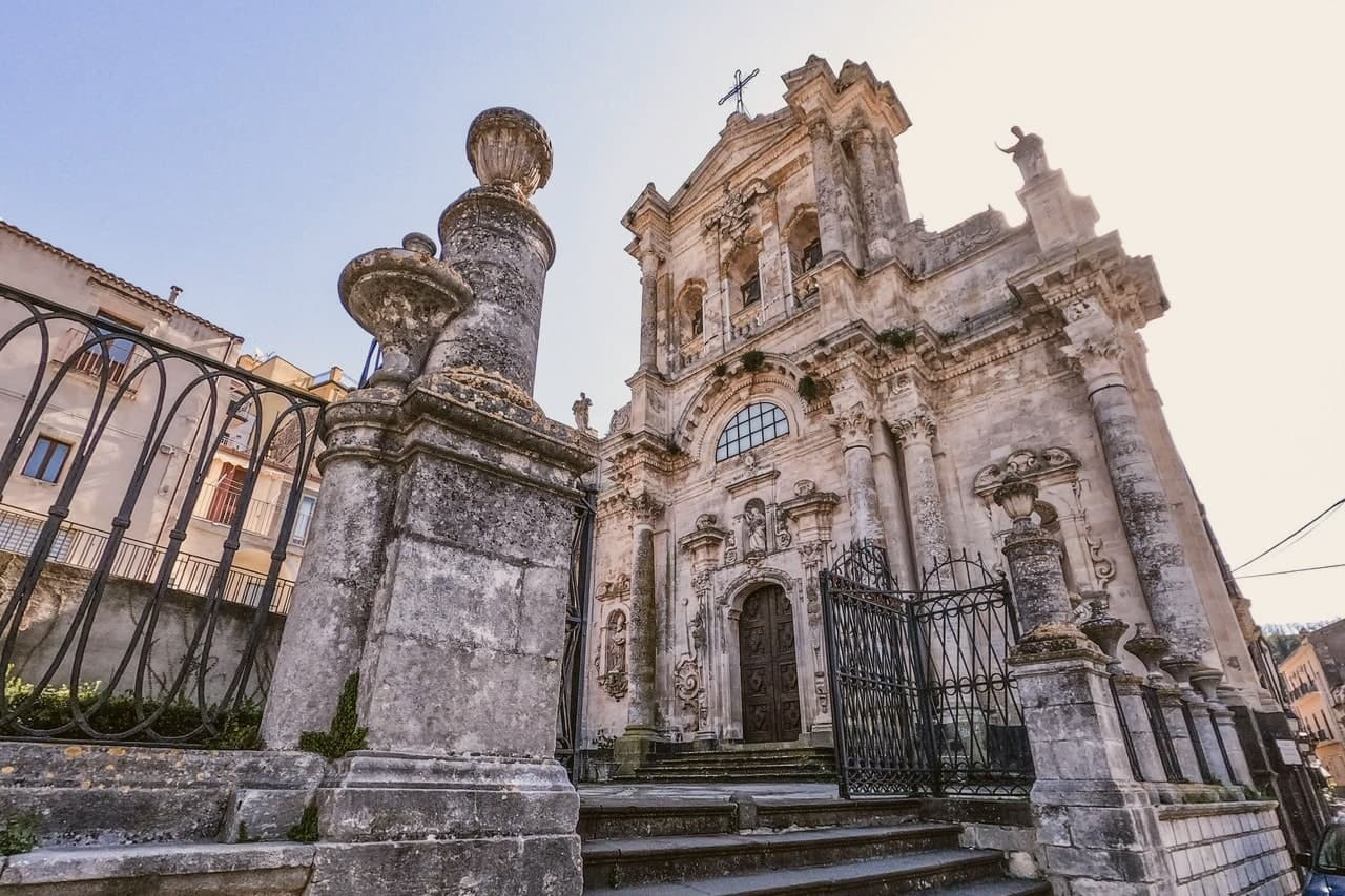
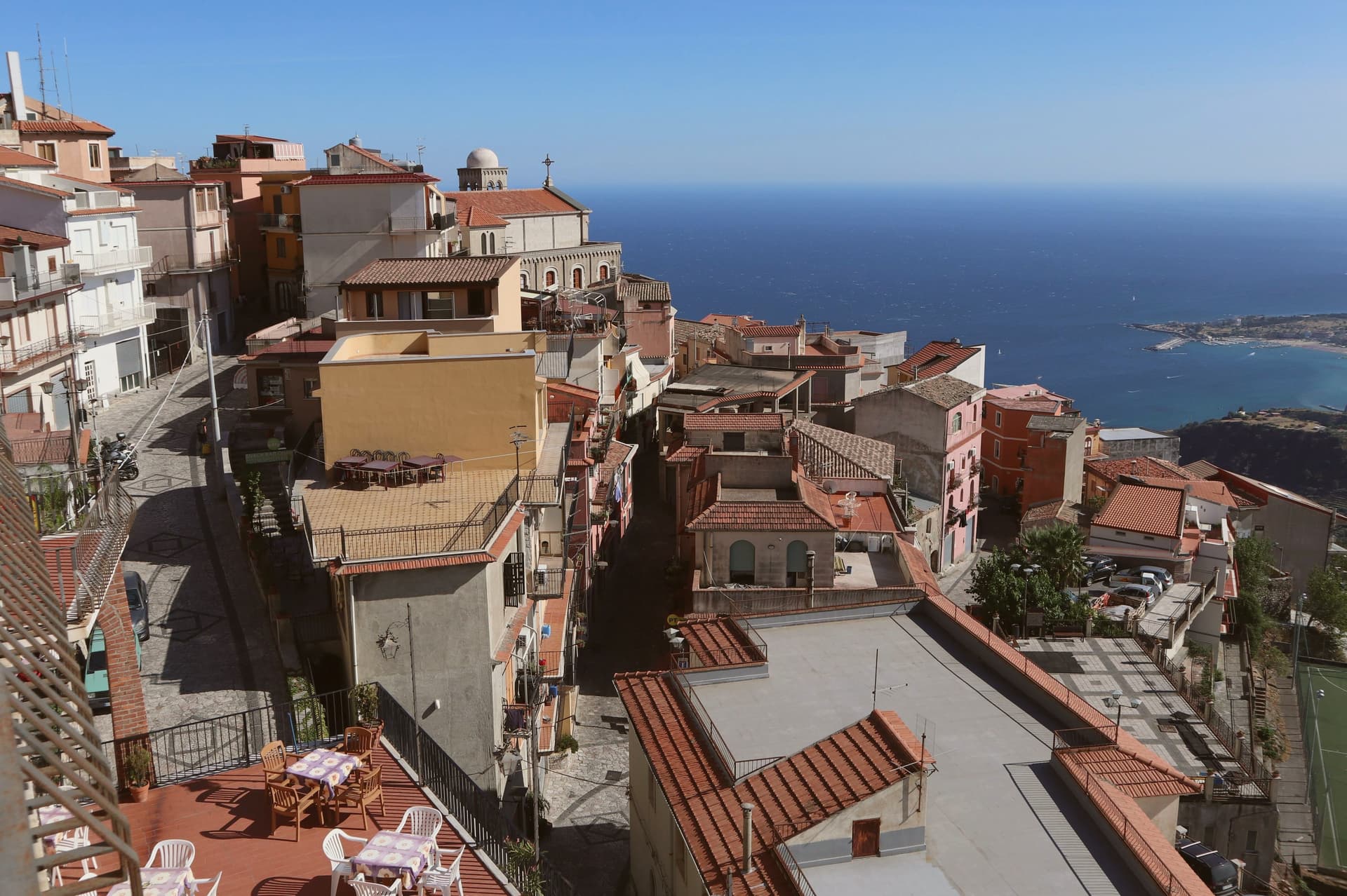
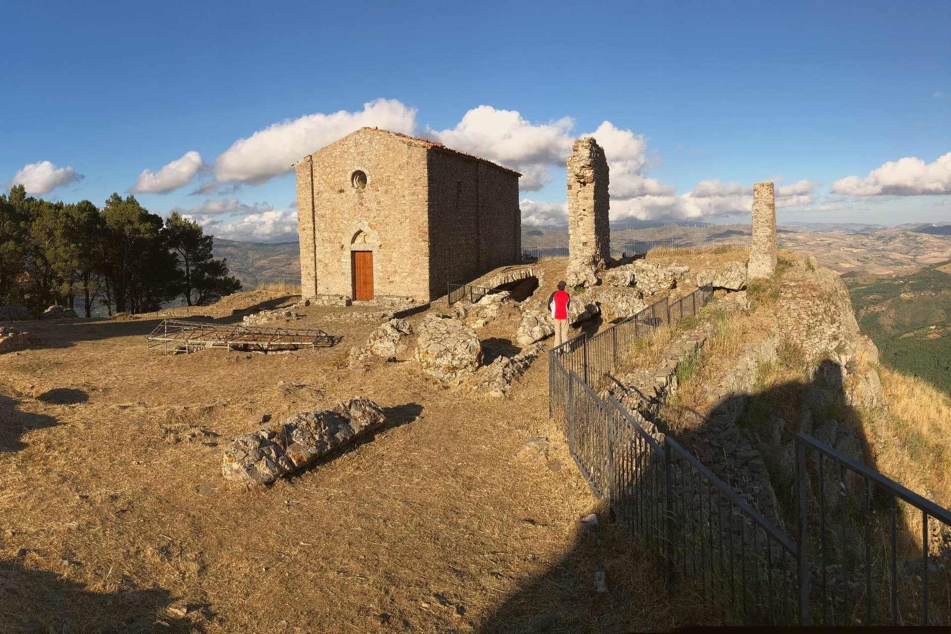
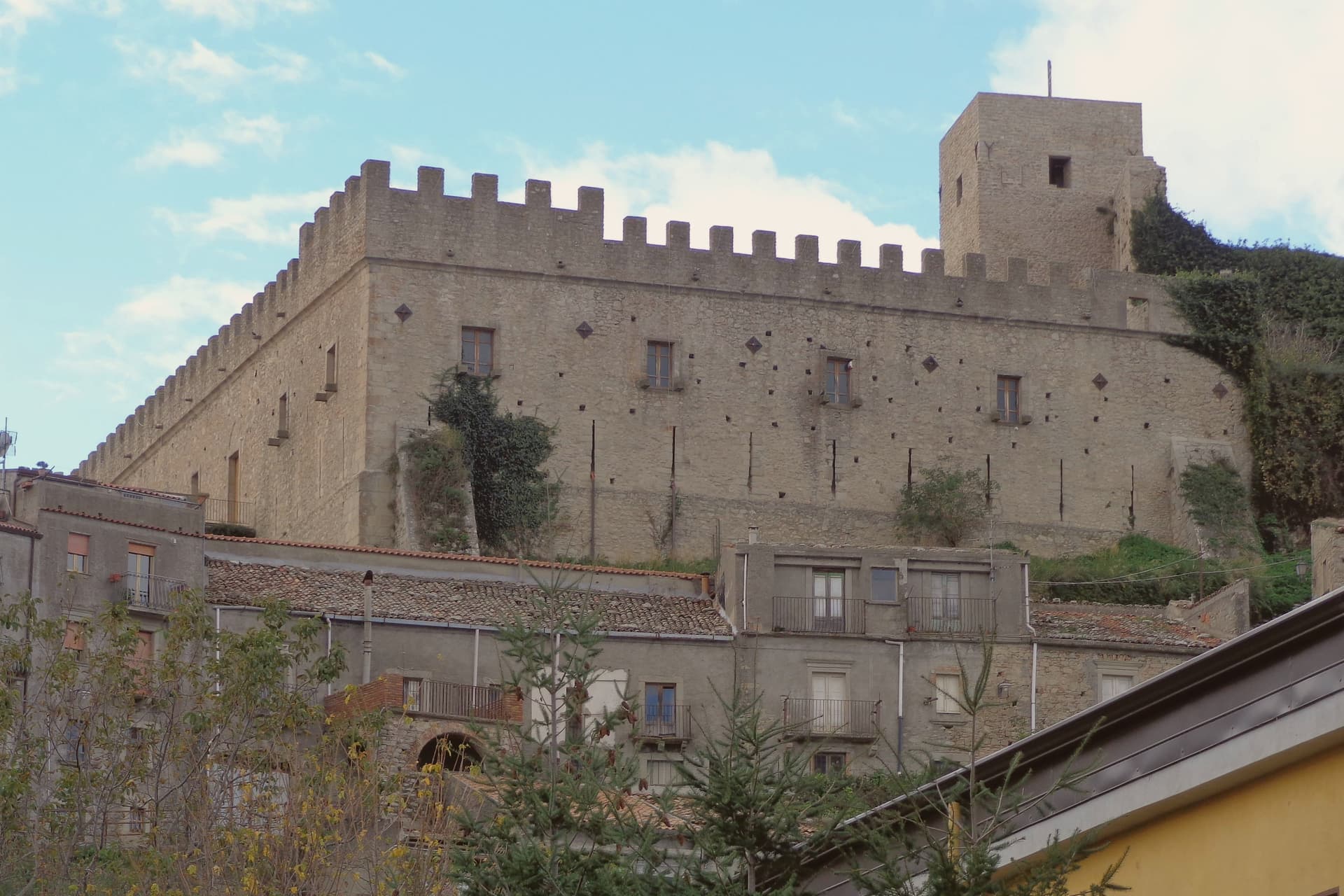
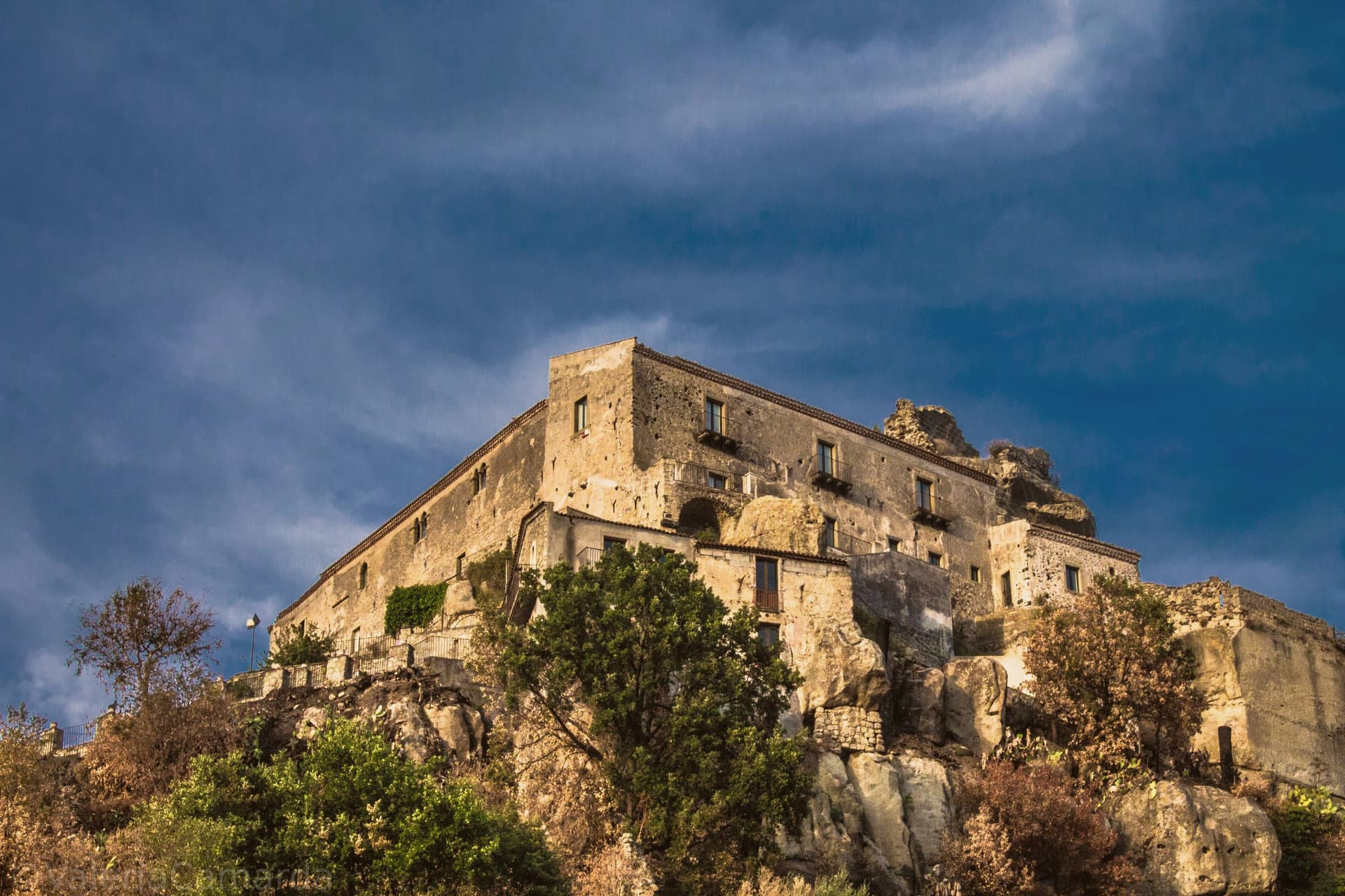
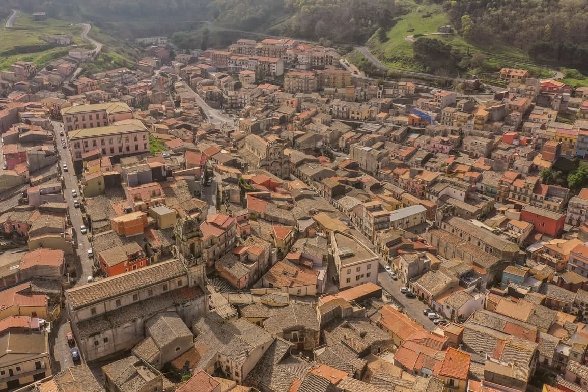
Buccheri sits on the northern slopes above 820 meters, one of the highest villages in the Iblei. Sicels, Greeks, Romans and Byzantines all left traces on the ridge above the village, a long sequence of settlement on ground that offered height and a view over the watershed below. The 1693 Val di Noto earthquake leveled most of what stood. The rebuild produced the upper village's high baroque staircase church and, separately, the parish church housing a Gagini marble that survived the quake itself, an object older than the building now around it.
The neviere in the surrounding hills supplied granita ice to Syracuse and Catania into the early twentieth century, a trade that tied this upland village to the coastal cities below it long before the road did. The olive groves on the slopes around the peak now carry the same name into a different economy: the Olio e non solo festival each October fills the village with producers and tastings. What the ridge, the ice caves and the groves add up to is a village whose whole history has run on its altitude, first as vantage and refuge, then as a source of cold, now as a source of oil.
The Sunday letter
Buccheri is on our list. Its letter is still to come.
We are writing about all 1,000 of these towns, one at a time, in a free letter every Sunday: the photo, the food, the festa. That is our mission. Sign up and you will be there when Buccheri comes up. By Peter & Sophia, from Pietrasanta.
Read on
Buccheri in our articles
How to get there
From Catania (CTA), about 1h 18m by car.
By car from the centre of Palermo 3h 39m.
Coming by train into Catania Centrale? Buccheri is about 1h 19m away by road.
What to see
Chiesa di Sant'Antonio Abate
Eighteenth-century baroque church at the top of a long staircase in the upper village, rebuilt after the 1693 earthquake destroyed the medieval original.
Chiesa di Santa Maria Maddalena
Baroque parish church with a façade by local architect Michelangelo Di Giacomo; holds a 1508 marble Magdalene by Antonello Gagini that survived the 1693 quake.
Monte Lauro
Rises directly above the village; trails climb from the town to the summit, the highest point in the Iblei and the region's central watershed.
Neviere di Buccheri
Caves cut into the hills around the village, used for centuries to supply ice to lowland Sicilian cities.
The slow-trip planner
Building a trip? Find where Buccheri fits in a slow Italy circuit.
Answer five questions. We will shape a geographically coherent slow trip from the 1,000 Italian towns most travelers skip. Yours to save and share.
Living here
- Population 1,729
- Remotei
- Pharmacy in town
- Nearest high school over ~30 minutes away
- Nearest airport Catania, 1 h 18 min drive
- Regional capital Palermo, 3 h 39 min drive
Common questions
- What is Buccheri known for?
- Buccheri is the highest village in the province of Syracuse, world capital of Tonda Iblea olive oil at the 2015 Sol d'Oro.
- Where is Buccheri?
- Buccheri is a comune in the province of Siracusa, in Sicily, at 820 meters above sea level.
- What is the nearest airport to Buccheri?
- Catania (CTA), about 1h 18m by car.
- How long is the drive from Palermo to Buccheri?
- About 3h 39m by car.
- When is the best time to visit Buccheri?
- Best in May–Oct. July is the warmest month, averaging 32 degrees, and May the wettest, with about 10 rain days.
- Is there a sagra or a festival in Buccheri?
- The town keeps its patron saint's day: Sant'Ambrogio, 7 December.
- Which other towns are like Buccheri?
- Montalbano Elicona, Polizzi Generosa and Acerenza.
- How many people live in Buccheri?
- 1,729 at the 2023 count.
Tags & datadesignations · numbers · sources
Recognised as
The numbers
- Elevation: 820 m
- Population: 1,729
- Surface area: 57.83 km²
These figures were compiled from public directories: ISTAT, OpenStreetMap and Wikidata, and from the official listings of the guides named on this page. Town details change; verify with official sources before you travel.
Similar
Towns like Buccheri
Montalbano Elicona
Province: Messina
both mountain-valley towns · both under 3,000 people
Polizzi Generosa
Province: Palermo
both mountain-valley towns · both under 3,000 people
Acerenza
Province: Potenza
both mountain-valley towns · both under 3,000 people
Carpegna
Province: Pesaro e Urbino
both mountain-valley towns · both under 3,000 people
Calvello
Province: Potenza
both mountain-valley towns · both under 3,000 people
Corniglio
Province: Parma
both mountain-valley towns · both under 3,000 people
🎨 Borghi più belli d'Italia
More Borghi più belli d'Italia towns in Sicily
Agira
Province: Enna
Birthplace of the Greek historian Diodorus Siculus and burial site of 490 Canadian soldiers of the 1943 campaign.
Calascibetta
Province: Enna
A promontory town at 691 meters facing Enna across a ravine, founded in the ninth century as a Muslim camp to besiege Byzantine Henna.
Castelmola
Province: Messina
A rock village at 529 meters directly above Taormina, the upper acropolis of ancient Tauromenium with a Norman castle and a 1947 almond-wine bar.
Castiglione di Sicilia
Province: Catania
A hill town on the north flank of Etna at 621 meters, base camp for the Alcantara valley and the volcano's most serious red wines.
Castroreale
Province: Messina
A ridge town at 394 meters above the Milazzo plain, holding the royal name given to it in the fourteenth century and a second-place finish in the 2018 Borgo dei Borghi.