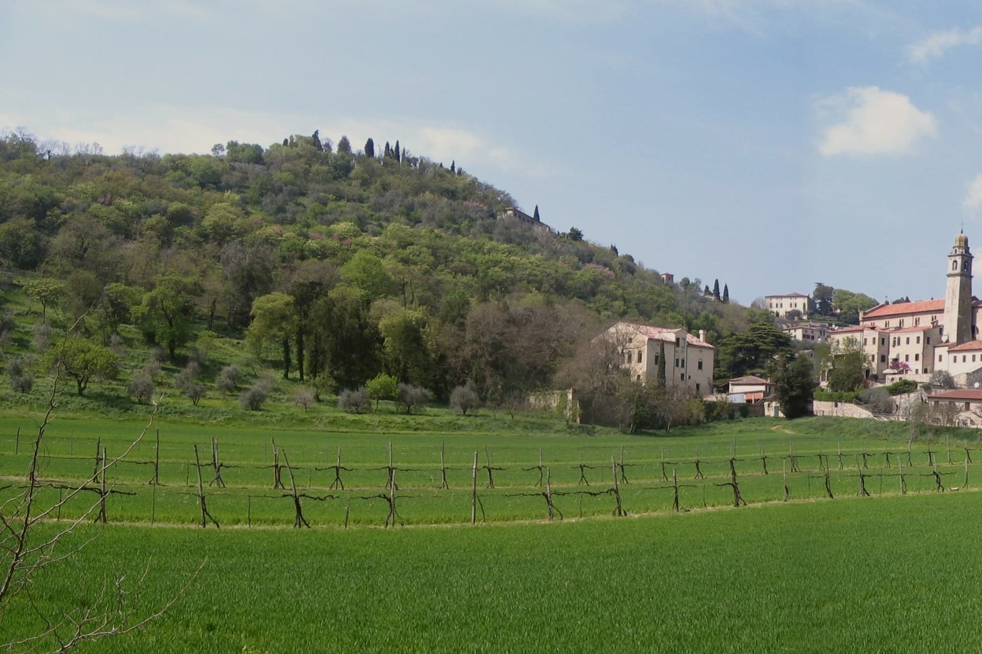
The best ski towns in Veneto
Veneto skiing means limestone. The Dolomite walls above the Cadore and the Agordino go pink at the end of the afternoon, and the pistes below them are cut through spruce forest and open pasture that in summer is hay meadow. The villages are built of stone bases and dark timber upper floors, with hay barns converted into flats and a bar by the church that opens early for the lift staff. Lunch is barley soup, casunziei filled with beetroot, polenta with cheese and mushrooms, and the season holds from the first machine-made snow in late autumn through to Easter. On the Asiago plateau the skiing is gentler and mostly cross-country, and the cheese comes stamped with the plateau's name.
Most people arriving for a Dolomite ski week aim at the great linked circuit over the provincial border, at Val Gardena and Alta Badia, where the Sella massif is ringed by lifts and a single pass moves skiers between valleys all day. It is a good system, and it is busy accordingly: the queues at Passo Sella, the car parks full by mid-morning, the hotels booked from one winter to the next. The lift-linked tour around the Sella is one of the most photographed things in the Alps, which tells you how many people are on it.
The same mountains carry on south and east into Veneto, and the snow does not thin out at the border. There are lifts under the Marmolada glacier, above the lake at Alleghe, on the slopes facing the Tre Cime, in the Biois valley and on the plateaux of the Prealps, and fewer people go to any of them. These are the Veneto towns with a ski area on their own ground, from the high Cadore down to a cable car that climbs off the Garda shore.
Of the 41 communes we have mapped in Veneto, 9 qualify as ski towns: each has a ski area on its own territory. The smallest, Alleghe, has 1,100 residents.
Elsewhere in the catalogue: The 7 best small towns that eat well in Veneto and The 10 prettiest hidden villages in Veneto.
Alleghe
Why visit Alleghe
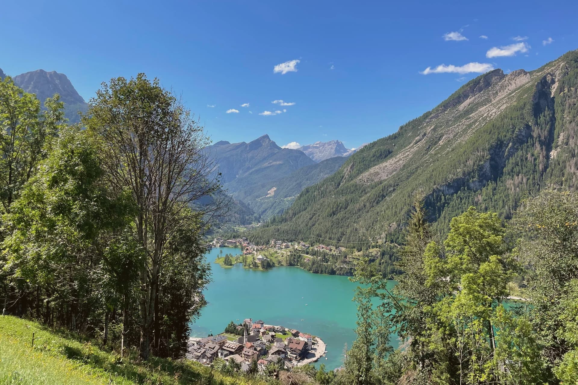
Alleghe sits at 979 meters in the Agordino, the deep Cordevole valley that cuts into the Dolomites south of Cortina. The valley funnels the river past steep slopes prone to fire and rockfall, which is why the parish church on the lakefront has been rebuilt more than once.
The lake itself is the town's defining feature and its stranger fact: this is a body of water that did not exist before 11 January 1771, when part of Monte Piz let go and dammed the Cordevole, burying the villages of Riete, Fusine and Marin. Alleghe as it stands today occupies ground that the slide created.
Four kilometers up the valley toward the Marmolada lies Caprile, which had been the commercial center of the Agordino before the slide and lost that standing once the lake formed and the newer settlement grew around it. The ski domain that carries the mountain's name opened to the public in the 1980s, linking Alleghe over the Forcella Staulanza to Zoldo and Selva di Cadore, and hockey has been the town's other pursuit, played for decades on the lake ice itself before the sport moved indoors.
What holds the place together is that geology, not settlement history, decided where the town would sit and what it would be called on to survive.
There is a mapped ski area on this commune, at 979 metres.
What to see in Alleghe
- Lago di Alleghe. The water sits over what used to be dry valley floor, fed by the Cordevole and still partly filled in by debris, shorter today than its original four-kilometer extent.
- Monte Civetta. The wall rises directly above the water, with the Tissi, Coldai and Vazzoler refuges strung along the Alta Via 1 trail beneath it.
- Ski Civetta. 80 km of slopes linking Alleghe, Zoldo and Selva di Cadore via lifts over the Forcella Staulanza; part of the Dolomiti Superski circuit.
How to get to Alleghe
Bolzano is roughly 105 minutes away by road.
Our tip
December through March is the working season: Ski Civetta opens, the lake freezes, and Alleghe runs at full capacity. January and February are the busiest months; the New Year week is when prices peak. June through September is the second season, walking on the Alta Via 1, swimming in the lake when air temperatures allow it, and refuge dinners on Coldai or Tissi.
Rocca Pietore
Why visit Rocca Pietore
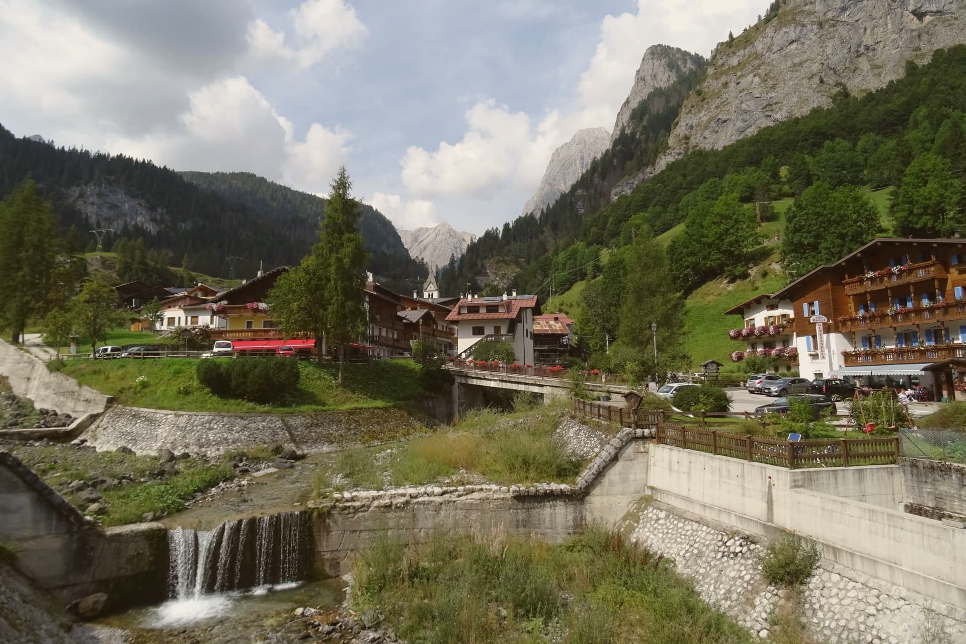
The Val Pettorina is the upper Agordino valley, running west from Belluno to the foot of the mountain the commune shares with Trentino. Rocca Pietore sits in it at 1,143 meters, a borgo that began as a Lombard military outpost before becoming, for nearly four centuries, the seat of a small republic under the County of Tyrol and the bishopric of Brixen, until Napoleon dissolved it.
The frazione of Sottoguda, higher up the valley at 1,250 meters, carries its own recognition as one of the Borghi più belli d'Italia, and the commune has held the Bandiera Arancione since 2018. The gorge that separates the village from Malga Ciapela has needed rebuilding twice this century, first after damage in 2018 and again in 2020, reopening only in stages from 2023.
The parish church stands on the rock above the borgo, the seat from which the old Tyrolean republic governed. What emerges is a valley shaped as much by repeated damage and repair as by the mountain looming over it: a small governing center under foreign rule for centuries, a gorge that keeps having to be rebuilt, and a glacier reached only by the single cable car that climbs above it all.
There is a mapped ski area on this commune, at 1143 metres.
What to see in Rocca Pietore
- Marmolada. Peak shared with Trentino, its glacier reached by cable car from Malga Ciapela to Punta Rocca at 3,269 meters, the only way up onto the ice.
- Serrai di Sottoguda. The gorge path runs between the village and Malga Ciapela, hemmed by rock on both sides, closed for years of repair after Storm Vaia before reopening to walkers.
- Sottoguda. Frazione at 1,250 meters joined to the Borghi più belli d'Italia in 2016, with the fifteenth-century Church of Saints Fabian, Sebastian and Roch.
How to get to Rocca Pietore
Bolzano is roughly 91 minutes away by road.
Our tip
December through March is the working season: the Marmolada glacier opens for skiing, the Bellunese run drops twelve kilometers from Punta Rocca to Malga Ciapela, and hotels in the village fill. June through September is the second season, walking the reopened Serrai, hiking on the Marmolada and the Padon ridge across the Fedaia, and visiting the First World War positions near the glacier. April, May, October and November are quiet.
Falcade
Why visit Falcade
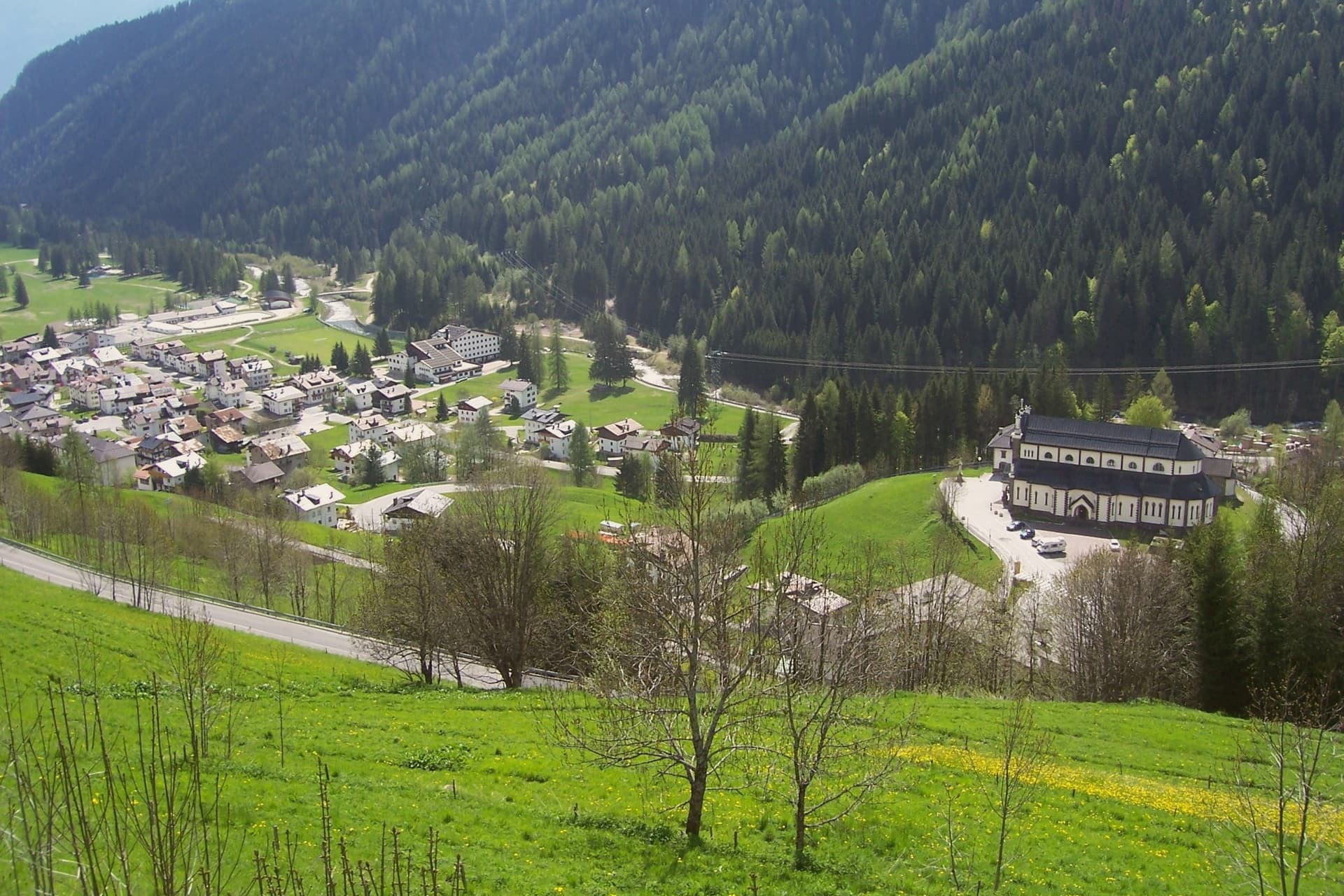
Falcade sits at 1,148 meters in the upper Biois valley, the southwestern corner of the Agordino, ringed by the Focobon group, the Pale di San Martino, the Marmolada and the Civetta. First settlers arrived between the tenth and eleventh centuries, and trade with the neighboring Fassa and Fiemme valleys built through the medieval period, carried over the col that still connects the Agordino to Trentino.
The village works as a hinge between two mountain worlds: the sharp Focobon spires and the broader Pale di San Martino to the west face each other across the valley, with the pass threading between them as it has since travelers first needed shelter there. Summer walkers follow the Alta Via 2 through this gap, between peaks that were shaped by the same geology the UNESCO listing recognizes.
The valley's long function as a crossing point, medieval trade route, refuge, ski link, explains why a settlement this size sits exactly where the Agordino gives way to Trentino.
There is a mapped ski area on this commune, at 1148 metres.
What to see in Falcade
- Focobon group. The massif rises directly north of the village, its spires visible from the valley floor. The Alta Via 2 threads past it toward the Forcella delle Comelle.
- Ski Civetta and Trevalli. Linked ski domain across the Falcade-Le Buse and Passo San Pellegrino-Alpe Lusia areas, slopes up to 2,500 meters.
- Passo San Pellegrino. 1,918-meter col into the Val di Fiemme, with a travelers' hospice documented from 1358 and now a working ski station.
How to get to Falcade
Bolzano is roughly 77 minutes away by road.
Our tip
December through March is the working winter: Ski Civetta and Trevalli open, the San Pellegrino pass runs as a ski station, and the village fills to capacity over Christmas and Carnival. June through September is the summer half, with walking on the Alta Via 2, the Forcella delle Comelle traverse to the Pale di San Martino, and refuge dinners on the Mulaz and the Bottari. April, May, October and November are the dead months.
San Vito di Cadore
Why visit San Vito di Cadore
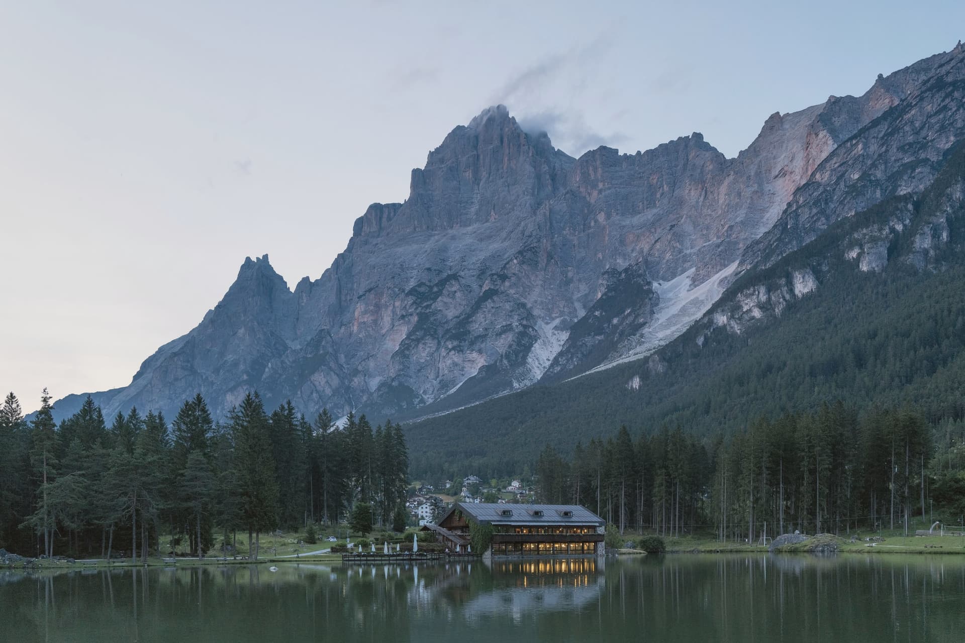
The village sits in the upper Boite valley, with the road from Belluno to Cortina running straight through the centro. Antelao closes the view to the east and the Pelmo faces it across the valley to the west, so the settlement reads as a single street pinned between two mountains rather than a place that spread outward on its own terms.
The commune appears in records from 1208, the date tied to the parish church, and the chapel at the south end of the village was added more than two centuries later, remodeled again in the sixteenth. Its altarpiece painter's family came from the next valley over, a detail that ties the church's decoration to the wider Cadore rather than to any outside workshop.
Tourism arrived in the mid-nineteenth century and grew steadily after the 1950s, and the marks of that later phase sit apart from the older core: Lago di Mosigo was cut from a marsh in 1929 and works as the summer center of the village, while the Lunga Via delle Dolomiti runs through the commune on a railway bed that stopped carrying trains and now carries the Greenways recognition. What holds the place together is the layering itself, a medieval religious core along the through road, a mountain on each side that never changes, and a twentieth-century lake and railway path built for people passing through rather than living there.
There is a mapped ski area on this commune, at 1011 metres.
What to see in San Vito di Cadore
- Chiesa della Madonna della Difesa. Late fifteenth-century Gothic chapel frescoed throughout, holding an altarpiece by Francesco Vecellio, Tiziano's younger brother. Stands at the village's south end.
- Chiesa dei Santi Vito, Modesto e Crescenzia. Parish church first documented in 1208, rebuilt in the eighteenth century with frescoed ceilings and wooden altars by local craftsmen.
- Lago di Mosigo. Artificial lake created in 1929 from a drained marsh, the village's summer center with a circular walking path and the Pelmo above it.
How to get to San Vito di Cadore
Venezia is roughly 128 minutes away by road.
Our tip
December through March is the winter season: skiing at San Vito and the connected Cortina domain, ice skating on the frozen Mosigo when it holds, and quiet evenings between hotels and the centro. The summer season runs June through September, walking in the Antelao and Pelmo basins, refuge dinners at Galassi and Venezia, and cycling the Lunga Via toward Cortina. April, May, October and November are the quiet months.
Auronzo di Cadore
Why visit Auronzo di Cadore
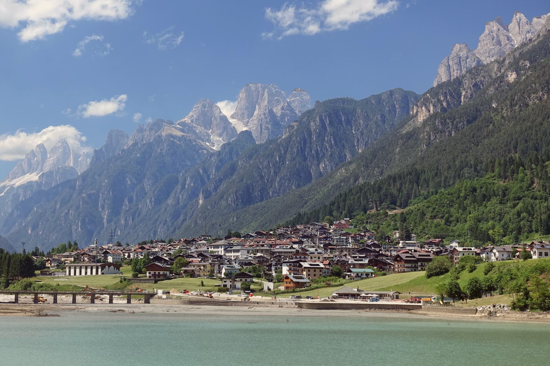
The town sits at 864 meters in the Comelico, the northeastern corner of the Cadore, its five kilometers of ribbon shape owed to the dammed Ansiei: the river was closed off in 1930-32 to build a hydroelectric reservoir, and the settlement grew along the water it created. The municipal territory runs from that reservoir up through the surrounding peaks, taking in a high mountain lake to the north and the highest point in the territory to the south, a mountain that anchors one end of the same group ringing the lake.
The town itself, away from the water and the peaks, is workmanlike: hotels, a long lakefront, a small mid-nineteenth-century church in the Villapiccola frazione, and a working harbor for the small boats that cross the reservoir. The territory reads as two halves in balance: a functional, engineered lower town built for hydroelectric power and tourism traffic, and an upper world of high lakes and named summits that draws walkers for a single season each year.
The dam gave Auronzo its shape; the mountains around it gave the town its reason to be found.
There is a mapped ski area on this commune, at 864 metres.
What to see in Auronzo di Cadore
- Tre Cime di Lavaredo. Three battlement peaks rising to 2,999 meters, the symbol of the UNESCO Dolomites, with the classic loop trail from Rifugio Auronzo drawing walkers June through October.
- Lago di Misurina. Ringed by the Cadini, Sorapiss and Cristallo peaks, a high mountain lake used for respiratory therapy and reached as a trailhead.
- Lago di Santa Caterina. The lake the town runs along for its full length, with a working harbor for the small boats that cross the reservoir.
How to get to Auronzo di Cadore
Venezia is roughly 140 minutes away by road.
Our tip
May through October is the season. June, July and August fill the Tre Cime parking with cars from across Europe; the loop trail can hold a thousand walkers on a clear day. September is the most reliable month: stable weather, gold larches, fewer crowds at Rifugio Auronzo and Lavaredo.
Malcesine
Why visit Malcesine
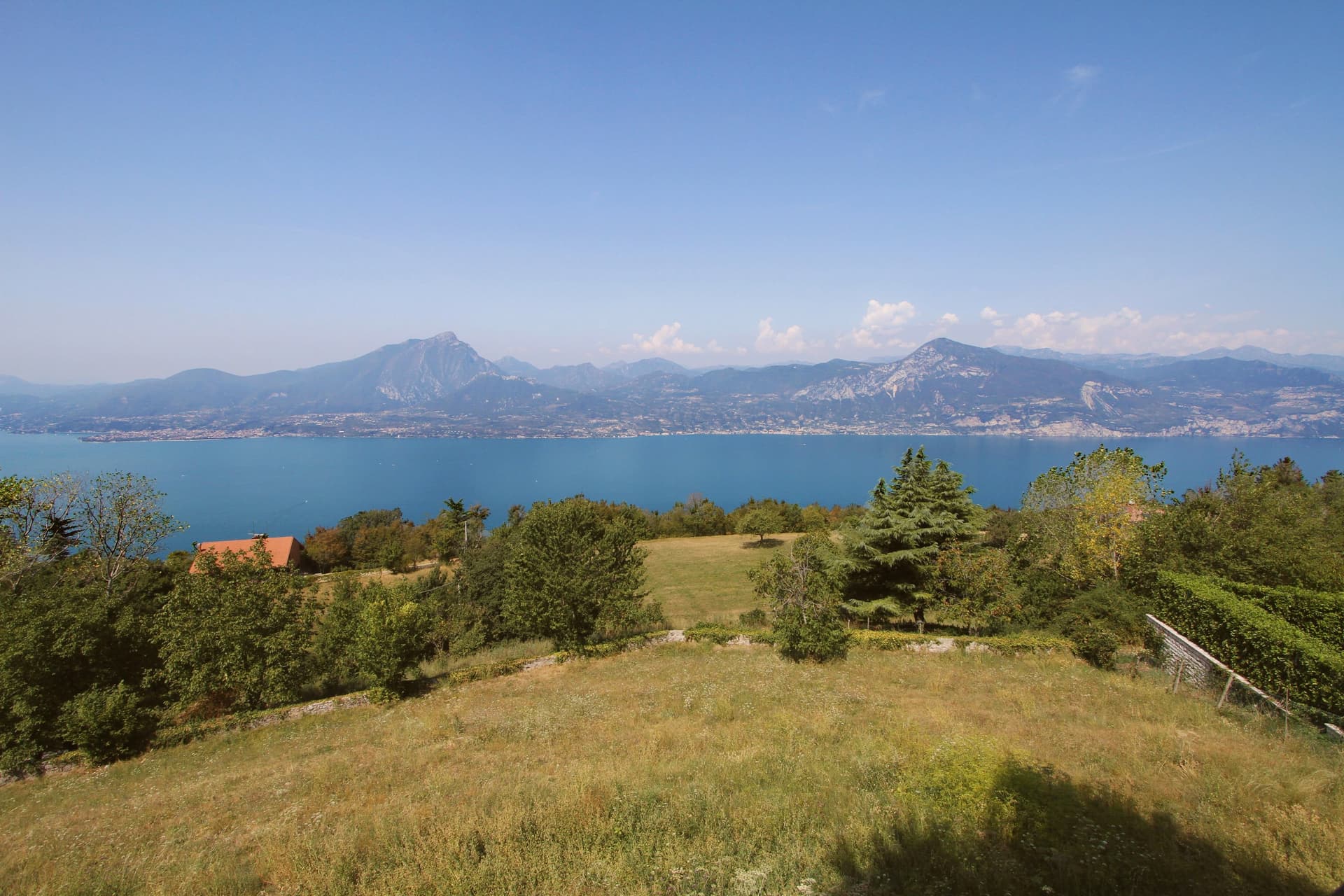
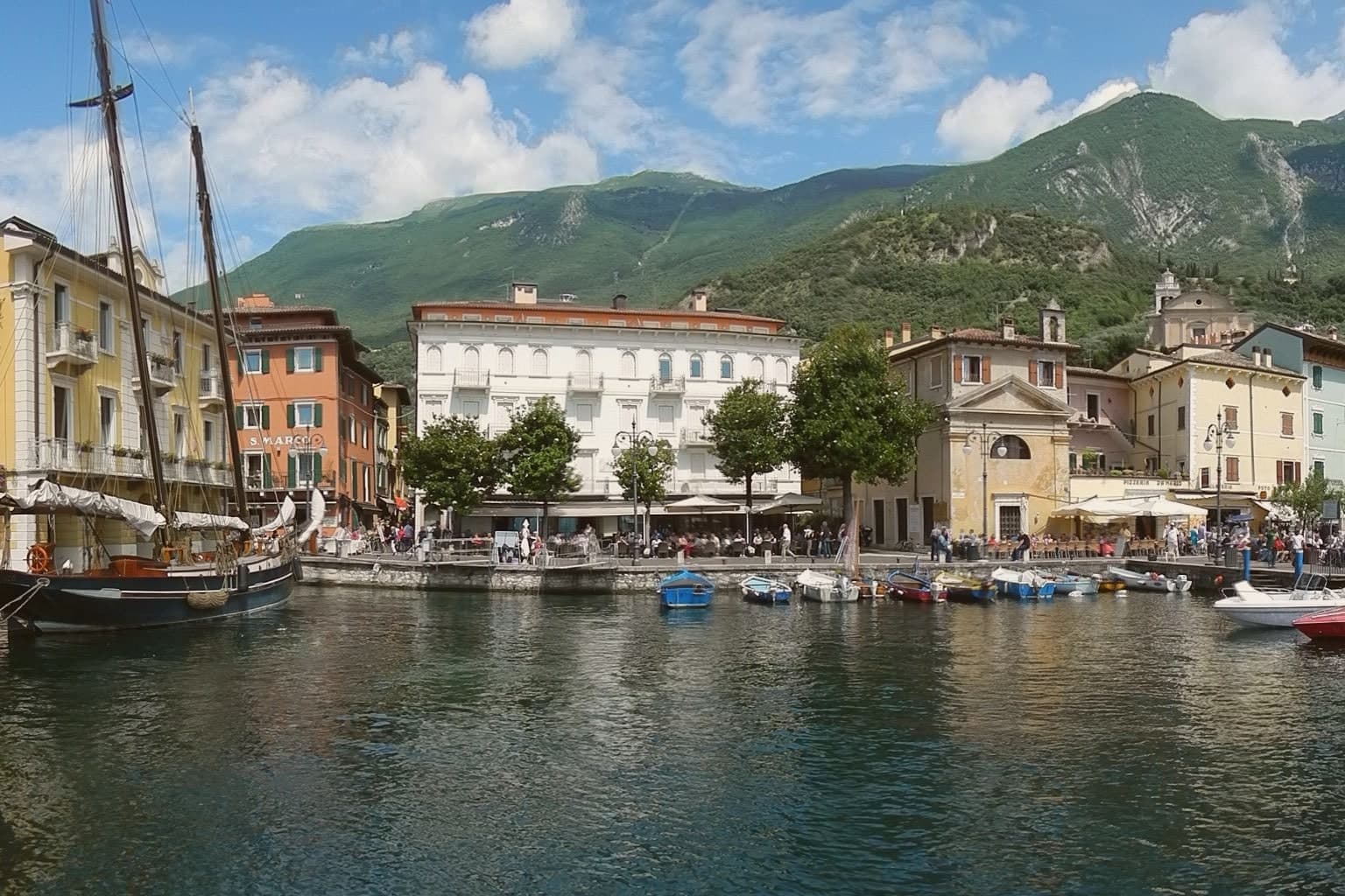
Malcesine sits at 89 meters on the eastern shore of Lake Garda, forty kilometers northwest of Verona and immediately south of Trentino-Alto Adige. The town strings together five lakeside frazioni between Navene and Cassone, pinched between the water and the slopes of Monte Baldo, which rises to 2,218 meters behind the rooftops.
The Castello Scaligero, built by the della Scala family of Verona in the thirteenth century around an older white-stone keep, is the defining building. On 14 September 1786 Johann Wolfgang Goethe was questioned in front of it on suspicion of being an Austrian spy after drawing sketches; he later devoted several pages to the episode in Italienische Reise.
The Monte Baldo cable car, opened in 1962 and rebuilt with rotating cabins in 2002, lifts walkers and paragliders to 1,750 meters in ten minutes. Olive groves along the lower slopes carry the Garda DOP olive oil designation.
There is a mapped ski area on this commune, at 89 metres.
What to see in Malcesine
- Castello Scaligero. Thirteenth-century Scaliger fortress on a rock above the lake, with an older white-stone keep, the rooms where Goethe was held briefly in 1786 and a museum on Monte Baldo flora.
- Palazzo dei Capitani. Fifteenth-century Venetian palazzo on the lakefront, residence of the Captains of the Lake during the Republic of Venice, with a lakeside loggia and gardens.
- Monte Baldo. 2,218-meter ridge behind the town, reached by a two-stage cable car with rotating cabins; the summit is a botanical reserve known since the sixteenth century as Hortus Europae.
How to get to Malcesine
Trento is roughly 65 minutes away by road.
Our tip
April through June and September through October are the months Malcesine is built for. The cable car runs to Monte Baldo through clear spring and autumn air, the windsurfers fill Val di Sogno when the Ora picks up at midday, and the centro storico is busy but walkable. July and August push past thirty degrees on the lake and the village queues for the cable car from eight in the morning; many German and Austrian families have rented apartments here for generations.
Cortina d'Ampezzo
Why visit Cortina d'Ampezzo
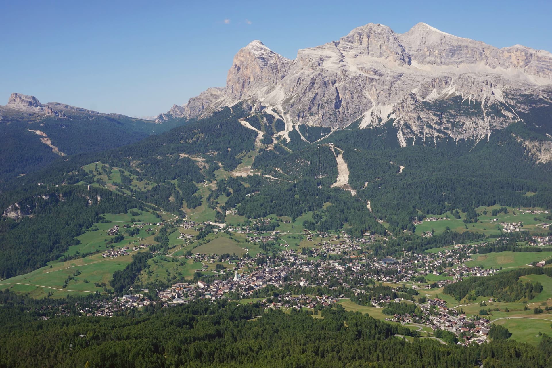
The Ampezzo valley sits at 1,224 meters, closed in by a full ring of peaks: the Tofane to the west, Pomagagnon to the north, Cristallo to the northeast, Faloria and Sorapiss to the east, Croda da Lago and Cinque Torri to the south. The town takes its position from that ring, a flat basin with mountains rising on every side rather than a settlement that spread toward any one of them.
The valley's older identity runs through the Ampezzani, a Ladin-speaking community whose Regole assembly governed communal land through Habsburg rule and continued after the territory passed to Italy in 1919. That assembly still shapes how the surrounding forests and pastures are held, separate from the ski infrastructure and Olympic building laid over the same ground in 1956 and again for 2026.
Summer use of the valley extends outward on foot, with the Alta Via 1 running south to Belluno and a loop east to the Tre Cime. What the valley adds up to is a resort economy built inside a much older frame of land, language and self-government, the two rarely mentioned together but both still active in how the town is run and used.
There is a mapped ski area on this commune, at 1224 metres.
What to see in Cortina d'Ampezzo
- Tofana di Mezzo. Reached by the Freccia nel Cielo cable car from Corso Italia in three sections via Pomedes and Ra Valles, the ride climbing from the valley floor to open rock and long views over the Ampezzo basin.
- Basilica dei Santi Filippo e Giacomo. Parish church on Corso Italia with an 1858 façade and an 1860 campanile, the centro storico's principal monument and the anchor of its pedestrian street.
- Cinque Torri. Five rock towers south of Cortina at 2,361 meters, a climbing area with First World War open-air trenches restored as a free museum, the wartime positions still legible among the towers.
How to get to Cortina d'Ampezzo
Bolzano is roughly 116 minutes away by road.
Our tip
December through March is the Olympic season: the Dolomiti Superski lifts open, Tofana hosts the women's World Cup downhill on the Olympia delle Tofane in January, and the town runs at capacity through Carnival. June through September is the summer half: walking the Alta Via 1, climbing the Cinque Torri, and the via ferrata routes on Cristallo and Faloria. April, May, October and November are the dead months.
Asiago
Why visit Asiago
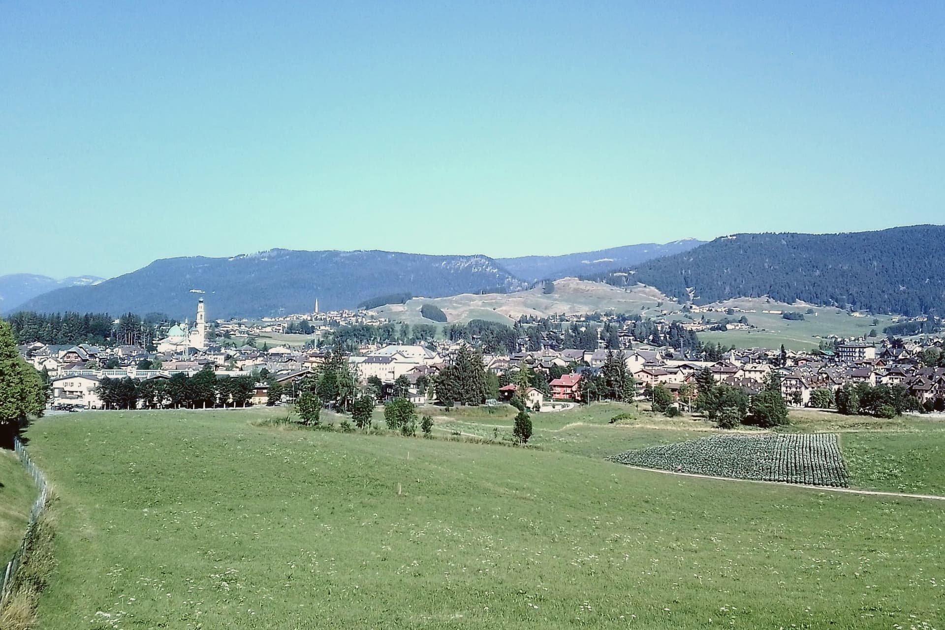
Asiago is the capital of the Altopiano dei Sette Comuni, a 467 km² Alpine plateau at 1,000-2,300m altitude north of Vicenza, historically the territory of seven small communities that spoke Cimbrian, a medieval Bavarian-German dialect, until the 19th century, still spoken by a handful of elderly speakers in the upland frazioni today. The plateau geography defines everything about the town: the cool summer climate, a year-round average of 8°C, the alpine pastures that support the dairy economy behind the cheese, the 200+ km of cross-country ski tracks in winter that let the plateau host FIS Nordic World Cup events, and the trail network that takes over the same ground in summer.
The heaviest historical layer is World War I. The Altopiano was the front line of the May 1916 Strafexpedition Austrian offensive and the May 1918 Battle of the Three Mountains, and the town itself was completely destroyed by Austrian artillery: every standing building today was rebuilt afterward.
The ossuary on the hill above town holds 54,286 fallen soldiers, mostly Italian with some Austro-Hungarian, and stands as the largest WWI war memorial in northern Italy. The observatory built in 1942 is Italy's most important professional optical-astronomy facility, its 122cm Galileo telescope the largest in Europe when built.
Beyond cheese, war, and stars: the museum documents the historic Bavarian-German dialect culture, the Sentiero degli Asini, the Donkey Trail, walks a network of Cimbrian-era footpaths, and the plateau's altipiani, uplands like Marcesina, the highest at 1,400m, are some of the most striking alpine meadow landscapes in the Veneto. The food is plateau-Cimbrian-Veneto: Asiago DOP itself, polenta with sopressa or pastin sausage, gnocchi di malga, the Cimbrian klemen, a sweet-savoury filled pasta, and the local Vespaiolo dell'Altopiano white.
A single plateau, one geography of altitude and pasture, produced the dialect, the dairy economy, the battlefield, and the observatory alike, and rebuilt itself once from artillery before any of the rest could continue.
There is a mapped ski area on this commune, at 1001 metres.
What to see in Asiago
- Sacrario Militare del Leiten. A 1936 neoclassical ossuary on the hill above town, with a view over the plateau. The building is the physical marker of the destruction the WWI front line brought to Asiago itself.
- Asiago DOP cheese + casere. Casere, the alpine dairy huts, sit at Bocchetta Portule and Marcesina and open for summer visits and tastings, a working look at how the cheese is actually made on the plateau.
- Osservatorio Astrofisico di Asiago. The 122cm Galileo telescope, run by the University of Padua, is open for guided summer visits, a rare chance to stand next to the instrument itself.
How to get to Asiago
Trento is roughly 117 minutes away by road.
Our tip
Asiago is twin-season — January–March for cross-country skiing (200+ km of pistes, FIS World Cup events) and July–September for plateau hiking + cool summer altitude. Year-round average 8°C means even peak summer rarely tops 25°C. May is the Spring Cheese Festival; September is the Asiago DOP Festival (3 days, 320 producers). Made in Malga falls in September.
Vittorio Veneto
Why visit Vittorio Veneto
Vittorio Veneto sits at 138 meters at the foot of the Cansiglio plateau, seventy-five kilometers north of Padova. The commune was formed in 1866 by merging Ceneda, on the plain, with Serravalle, in the narrow valley above, and named for King Vittorio Emanuele II.
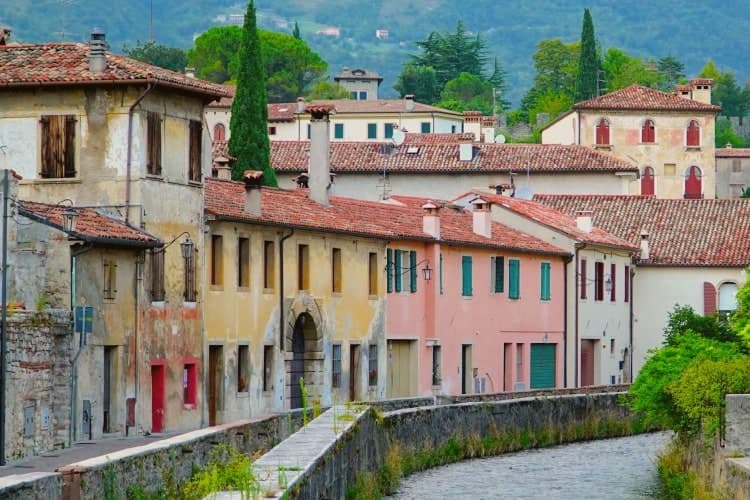
The two centers kept their own identities rather than blending into one. Serravalle is the older, walled district, set higher in the valley, with its cathedral holding the altarpiece of the Virgin with two saints.
Ceneda lies lower down on the plain, holding the Loggia of the Comunità and an eighteenth-century cathedral of its own alongside the castle ruins on the hill above it. In July 1923 the town took the name it carries now, after the battle that had taken its name from it three years earlier: the offensive of 24 October 1918 broke the Austro-Hungarian line, and the Armistice of Villa Giusti, effective 4 November, closed the war on this front.
The renaming fixed a wartime event permanently onto a place that had, until then, been two separate medieval settlements sharing a valley. What stands today is that same double structure, upper town and lower town, walled district and plain, still legible as two places joined by one name.
There is a mapped ski area on this commune, at 138 metres.
What to see in Vittorio Veneto
- Duomo di Serravalle. Rebuilt cathedral in the upper walled centro storico, holding the altarpiece of the Virgin with Saints Peter and Andrew in continuous liturgical use since it was painted.
- Museo della Battaglia. In the Loggia of the Comunità di Ceneda, built 1534-1538, with relics and documents of the offensive that ended the war on this front.
- Serravalle. Northern walled district above Ceneda, with sixteenth-century arcaded houses along the Meschio and the 1462 Loggia Serravallese.
How to get to Vittorio Veneto
There is a railway station in the town, so you can arrive without a car and never need one while you are here. Venezia is roughly 59 minutes away by road.
Our tip
April through October is the working season. April and May bring the Cansiglio plateau into play with walking weather and the upper Meschio at full flow. June through August stays cooler than the plain, with the narrow Serravalle valley holding shade through midday; the lower part around Ceneda pushes into the low thirties. Festa della Val Lapisina falls in July.