
Veneto · Belluno
Auronzo di Cadore
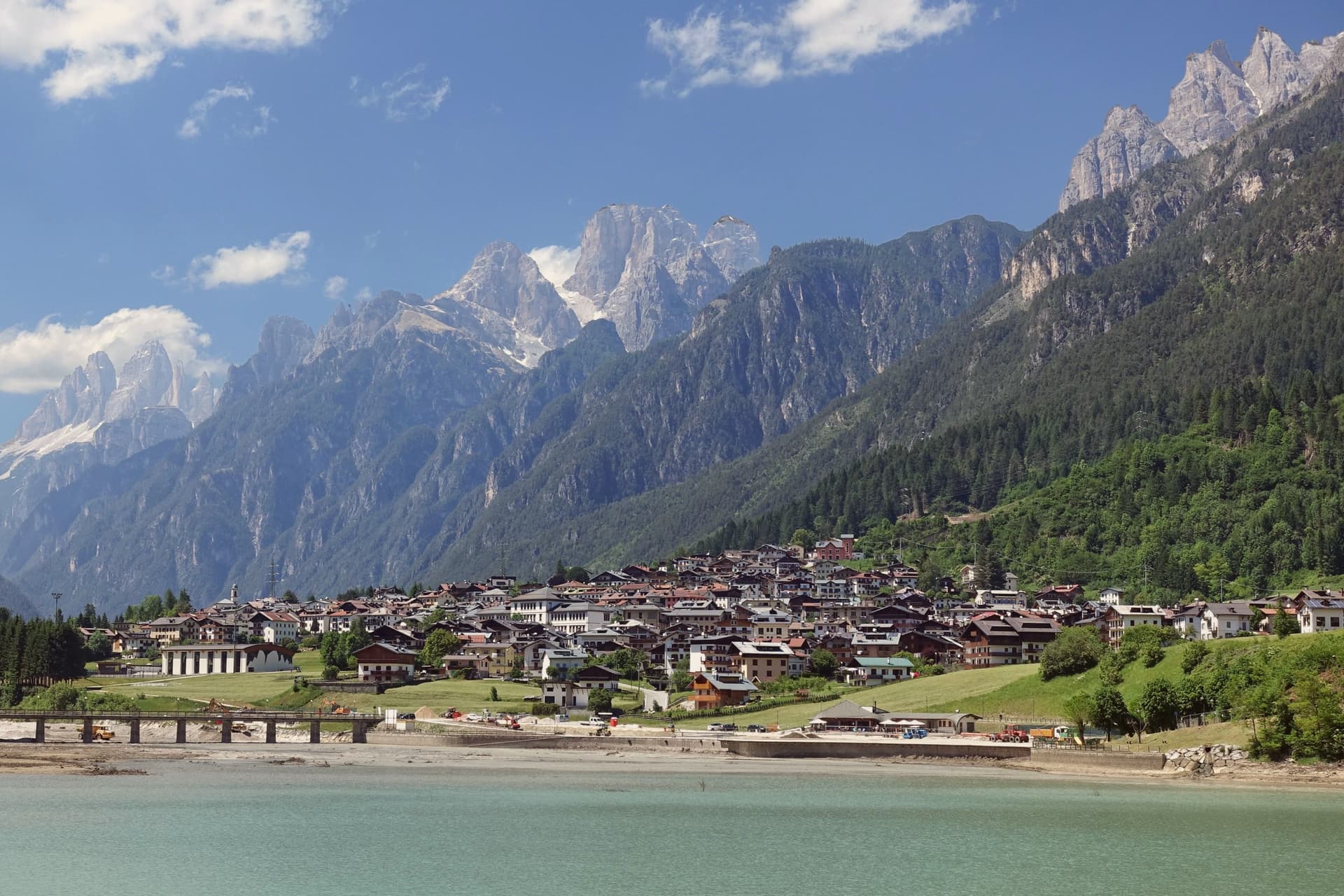
A five-kilometer ribbon town along an artificial lake at 864 meters, the gateway to the Tre Cime di Lavaredo and Lake Misurina.
- Best time
- May–Oct
- By car
- 2 h 20 min from Venice
- Population
- 3,063
Known for
TRE CIME
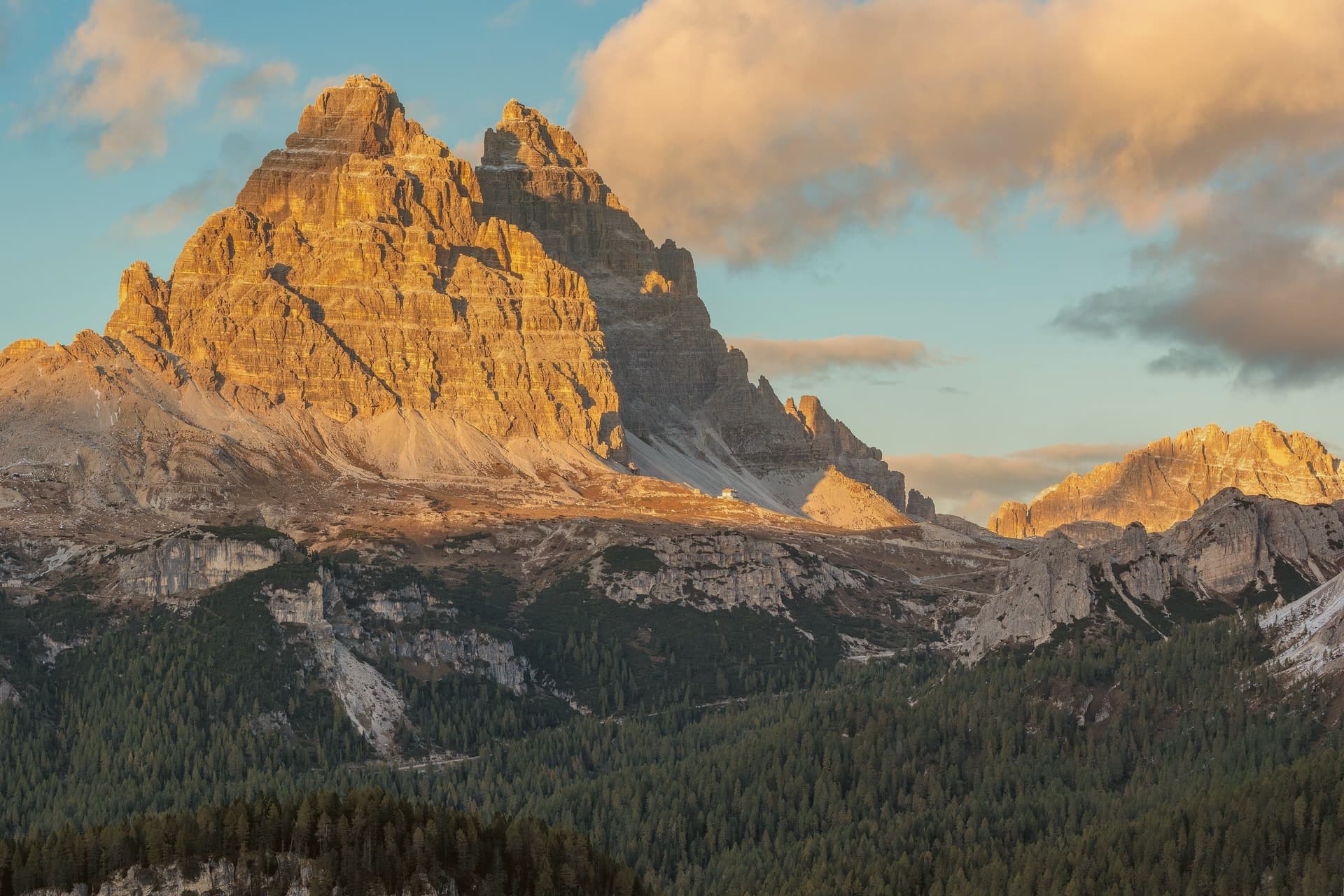
The three peaks of Lavaredo, symbol of the UNESCO Dolomites, with Cima Grande at 2,999 meters and a year-round photo queue.
MISURINA
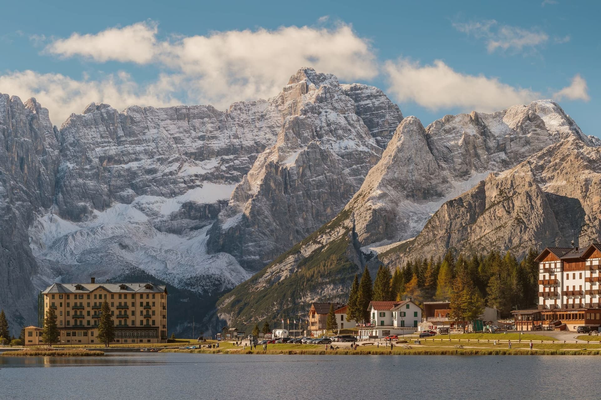
The largest natural lake in the Cadore at 1,754 meters, used for respiratory therapy and the trailhead for the Cadini group.
THE ARTIFICIAL LAKE
Lago di Santa Caterina, built 1930-32 for hydroelectric power, gave Auronzo its current ribbon shape along the dammed Ansiei.
When to visit
Best · May–Oct
- J4°
- F8°
- M9°
- A12°
- M17°
- J22°
- J24°
- A24°
- S20°
- O16°
- N10°
- D5°
- Best
- Hot or crowded
- Quiet
- Mostly closed
Daytime averages, 2020–2024. Weather data by Open-Meteo.com.
Why come
The town sits at 864 meters in the Comelico, the northeastern corner of the Cadore, its five kilometers of ribbon shape owed to the dammed Ansiei: the river was closed off in 1930-32 to build a hydroelectric reservoir, and the settlement grew along the water it created. The municipal territory runs from that reservoir up through the surrounding peaks, taking in a high mountain lake to the north and the highest point in the territory to the south, a mountain that anchors one end of the same group ringing the lake. The town itself, away from the water and the peaks, is workmanlike: hotels, a long lakefront, a small mid-nineteenth-century church in the Villapiccola frazione, and a working harbor for the small boats that cross the reservoir.
The territory reads as two halves in balance: a functional, engineered lower town built for hydroelectric power and tourism traffic, and an upper world of high lakes and named summits that draws walkers for a single season each year. The dam gave Auronzo its shape; the mountains around it gave the town its reason to be found.
The Sunday letter
Auronzo di Cadore is on our list. Its letter is still to come.
We are writing about all 1,000 of these towns, one at a time, in a free letter every Sunday: the photo, the food, the festa. That is our mission. Sign up and you will be there when Auronzo di Cadore comes up. By Peter & Sophia, from Pietrasanta.

How to get there
From Venice (TSF), about 2h 11m by car.
Verona (VRN) is about 3h 32m away.
By car from the centre of Udine 2h 21m or Bolzano 2h 26m.
What to see
Tre Cime di Lavaredo
Three battlement peaks rising to 2,999 meters, the symbol of the UNESCO Dolomites, with the classic loop trail from Rifugio Auronzo drawing walkers June through October.
Lago di Misurina
Ringed by the Cadini, Sorapiss and Cristallo peaks, a high mountain lake used for respiratory therapy and reached as a trailhead.
Lago di Santa Caterina
The lake the town runs along for its full length, with a working harbor for the small boats that cross the reservoir.
Chiesa di San Lucano
Small parish church of the upper valley, standing in the Villapiccola frazione among the hotels and lakefront of an otherwise workmanlike town.
Cima Cadin di San Lucano
Highest point in the municipal territory at 2,839 meters, the southern bookend of the Cadini di Misurina group.
The slow-trip planner
Building a trip? Find where Auronzo di Cadore fits in a slow Italy circuit.
Answer five questions. We will shape a geographically coherent slow trip from the 1,000 Italian towns most travelers skip. Yours to save and share.
Living here
- Population 3,063
- Remotei
- Pharmacy in town
- High school within a 30-minute drive
- Nearest airport Venice, 2 h 11 min drive
- Regional capital Venezia, 2 h 20 min drive
Common questions
- What is Auronzo di Cadore known for?
- Auronzo di Cadore is a five-kilometer ribbon town along an artificial lake at 864 meters, the gateway to the Tre Cime di Lavaredo and Lake Misurina.
- Where is Auronzo di Cadore?
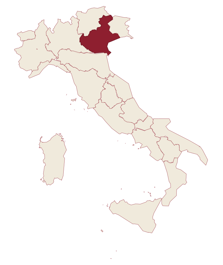
- Auronzo di Cadore is a comune in the province of Belluno, in Veneto.
- What is the nearest airport to Auronzo di Cadore?
- Venice (TSF), about 2h 11m by car.
- How long is the drive from Udine to Auronzo di Cadore?
- About 2h 21m by car.
- When is the best time to visit Auronzo di Cadore?
- Best in May–Oct. July is the warmest month, averaging 24 degrees, and June the wettest, with about 22 rain days.
- Which other towns are like Auronzo di Cadore?
- Castione della Presolana, Pinzolo and Viggiano.
- How many people live in Auronzo di Cadore?
- 3,063 at the 2023 count.
Tags & datadesignations · numbers · sources
Recognised as
The numbers
- Elevation: 864 m
- Population: 3,063
- Surface area: 220.65 km²
These figures were compiled from public directories: ISTAT, OpenStreetMap and Wikidata, and from the official listings of the guides named on this page. Town details change; verify with official sources before you travel.
Similar
Towns like Auronzo di Cadore
Castione della Presolana
Province: Bergamo
both mountain-valley towns · both between 3,000 and 10,000 people
Pinzolo
Province: Trento
both mountain-valley towns · both between 3,000 and 10,000 people
Viggiano
Province: Potenza
both mountain-valley towns · both between 3,000 and 10,000 people
Agnone
Province: Isernia
both mountain-valley towns · both between 3,000 and 10,000 people
Piancastagnaio
Province: Siena
both mountain-valley towns · both between 3,000 and 10,000 people
Morano Calabro
Province: Cosenza
both mountain-valley towns · both between 3,000 and 10,000 people
⛷️ Ski Area
More Ski Area towns in Veneto
Alleghe
Province: Belluno
A lakeside village at 979 meters, formed in 1771 when ten million cubic meters of rock crashed into the Cordevole.
Asiago
Province: Vicenza
The Sette Comuni plateau capital: a 6,285-resident high-altitude town at 1,001m in the Alpine prealps north of Vicenza, holding the largest WWI ossuary in northern Italy (Sacrario del Leiten, 54,286 fallen soldiers) and Italy's most important professional astronomical observatory.
Cortina d'Ampezzo
Province: Belluno
The Queen of the Dolomites at 1,224 meters, host of the 1956 Winter Olympics and co-host of Milano-Cortina 2026.
Falcade
Province: Belluno
An Agordino ski village at 1,148 meters under the Focobon spires, with the San Pellegrino pass leading toward Trentino.
Malcesine
Province: Verona
The northernmost Veneto town on Lake Garda, where Goethe was nearly arrested for sketching the Castello Scaligero in September 1786.