
Friuli-Venezia Giulia · Udine
Sauris
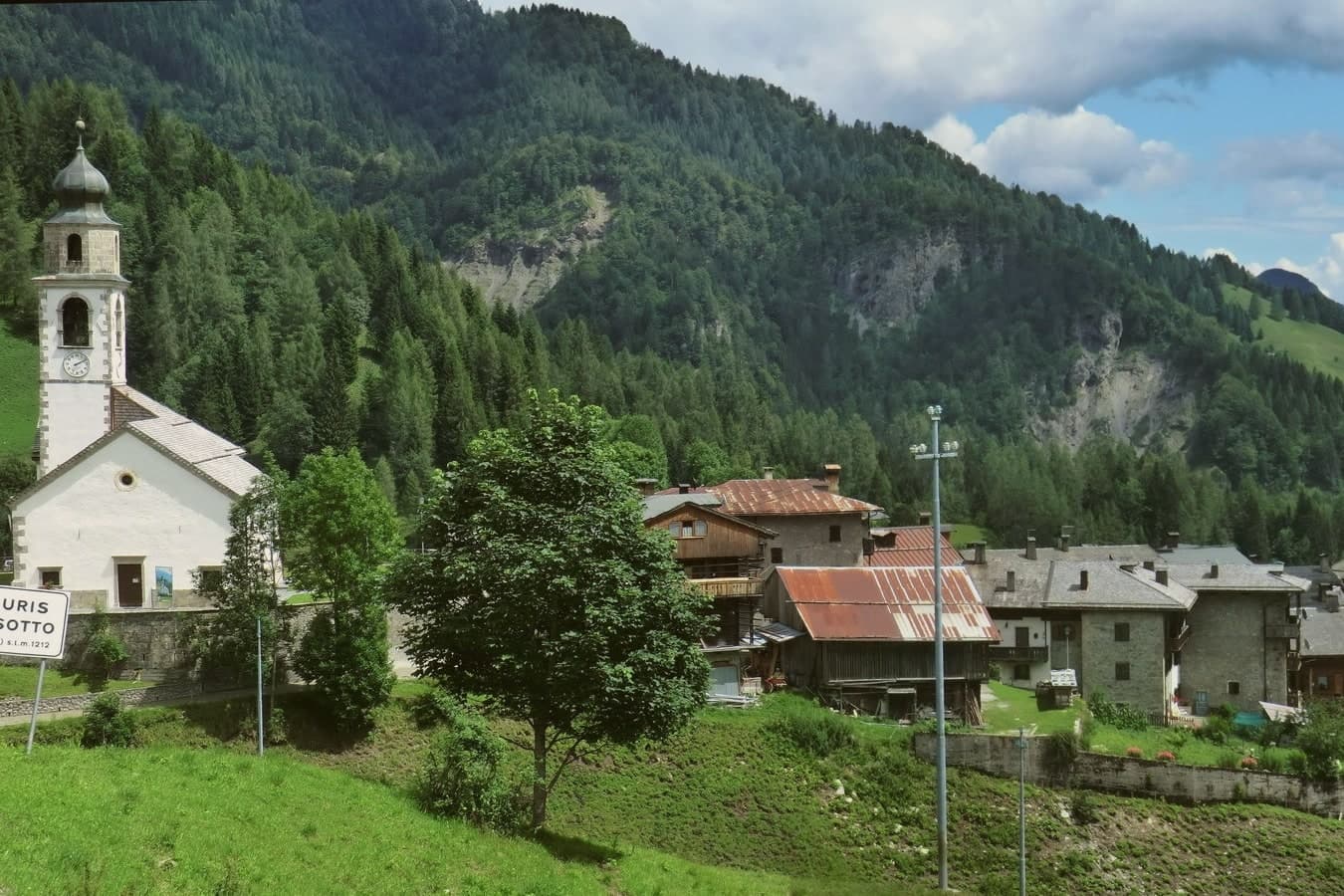
A 1,212-meter German-speaking island in the Carnic Alps, second-highest commune in Friuli, where Tyrolean settlers founded the village around the thirteenth century.
- Best time
- Jun–Sep, Dec–Mar
- By car
- 1 h 17 min from Udine
- Population
- 389
Known for
PROSCIUTTO DI SAURIS
IGP smoked ham produced by the Wolf family since 1862, beech-wood smoked, still hand-salted and hand-processed in the village.
GERMAN LANGUAGE ISLAND
Saurano, a medieval Tyrolean dialect, has been spoken in the village since its founding by Pustertal settlers in the thirteenth century.
ZAHRE BEER
Brewery founded in 1999 by brothers Sandro and Massimo Petris, named for the village's German name; one of Italy's first craft breweries.
When to visit
Best · Jun–Sep, Dec–Mar
- J2°
- F5°
- M6°
- A10°
- M14°
- J19°
- J21°
- A21°
- S16°
- O13°
- N7°
- D2°
- Best
- Hot or crowded
- Quiet
- Mostly closed
Daytime averages, 2020–2024. Weather data by Open-Meteo.com.
The festa: Osvaldo di Northumbria, 5 August
Why come
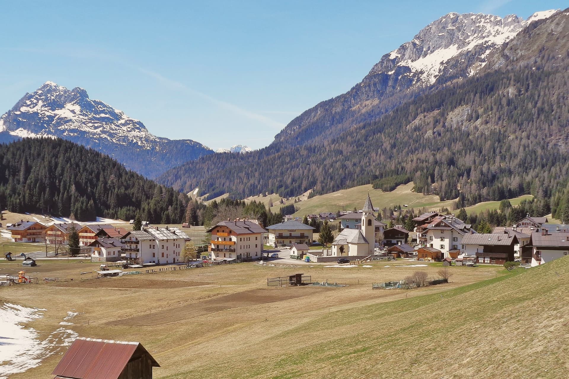
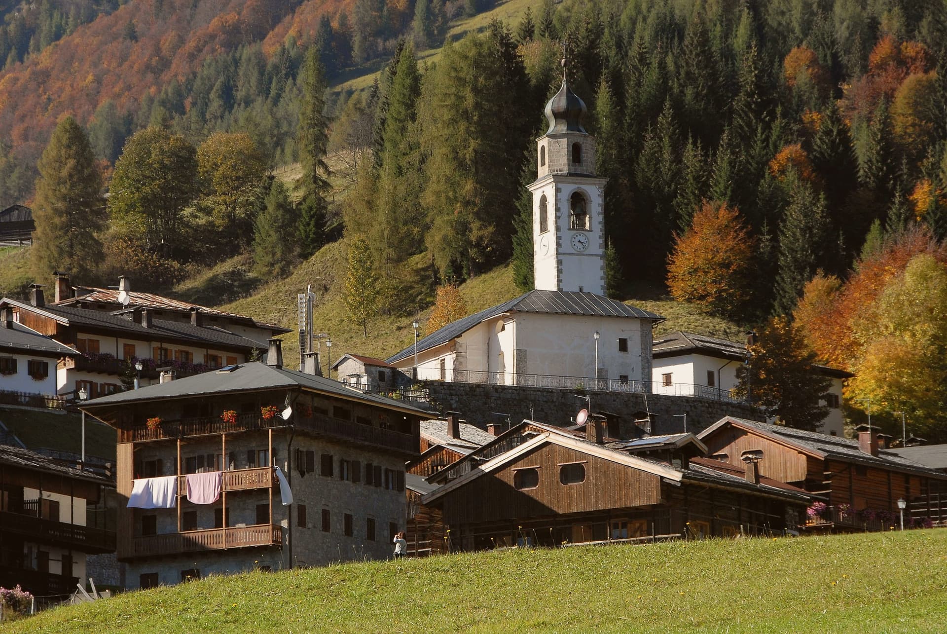
Sauris (Zahre in the local dialect) lies at 1,212 meters in a high valley of the Carnic Alps, the second-highest commune in Friuli-Venezia Giulia. The two main hamlets, Sauris di Sopra and Sauris di Sotto, were founded around the thirteenth century by Tyrolean settlers from the Pustertal; the Saurano dialect they brought with them preserves archaic features of medieval Tyrolean German, and the village has held its language island status into the present. The Lago di Sauris, a turquoise reservoir, was completed in 1948 by the Lumiei hydroelectric dam, 136 meters high, the tallest in Italy at the time; the village of La Maina lies underwater.
The Wolf family has produced Prosciutto di Sauris IGP, smoked over beech wood, since 1862; the brewery Birra di Sauris opened in 1999 and trades under the Zahre name. The commune operates an albergo diffuso, the scattered hotel model, lodging guests in restored stone-and-larch village houses across the two settlements.
The Sunday letter
Sauris is on our list. Its letter is still to come.
We are writing about all 1,000 of these towns, one at a time, in a free letter every Sunday: the photo, the food, the festa. That is our mission. Sign up and you will be there when Sauris comes up. By Peter & Sophia, from Pietrasanta.
Read on
Sauris in our articles
 The best towns that eat well in the province of Udine6 towns, Sauris among them.
 The 9 best towns with a serious restaurant in Friuli-Venezia Giulia9 towns, Sauris among them.
 The best towns with a food festival in Friuli-Venezia Giulia10 towns, Sauris among them.
 Alternatives to Cortina d'Ampezzo: every alpine town in the north above a thousand metres35 towns, Sauris among them.
How to get there
From Venice (TSF), about 2h 8m by car.
Verona (VRN) is about 3h 29m away.
By car from the centre of Udine 1h 17m or Trieste 2 hours.
What to see
Lago di Sauris
Turquoise artificial reservoir completed in 1948 by the Lumiei dam, 136 meters tall, the highest in Italy at the time of construction.
Sauris di Sopra
Upper hamlet at 1,400 meters, with the Chiesa di San Lorenzo, the oldest church in the valley, dating from the thirteenth century.
Sauris di Sotto
Main lower hamlet at 1,212 meters, anchored by the Chiesa di Sant'Osvaldo and the original albergo diffuso restored stone houses.
Chiesa di Sant'Osvaldo
Parish church of Sauris di Sotto, holding a fifteenth-century gilded wooden triptych and Saint Oswald's relic from the eighth century.
Sentiero della Pace
Walking route through the WWI Carnic front above the valley, with restored trenches and high mountain views over the Lumiei.
The slow-trip planner
Building a trip? Find where Sauris fits in a slow Italy circuit.
Answer five questions. We will shape a geographically coherent slow trip from the 1,000 Italian towns most travelers skip. Yours to save and share.
We recommend
Where to eat
Not our picks, but places the guides put their name to: a Michelin star, a Gambero Rosso fork, a Slow Food snail, a Michelin Key for the hotels. Worth a table, a counter, or a night when you pass through.
Alla PaceTrattoria
Alla Pace holds a Michelin Bib Gourmand and one Gambero Rosso prawn.
Through the year
What happens here
Feasts and festivals that come back year after year. We give the month rather than the date, because the date moves and the month rarely does. Check with the source before you plan a journey around one.
Festa del Prosciutto di Saurisfood festival
usually held in July. itinerarinelgusto.it
Living here
- Population 389
- Very remotei
- Pharmacy in town
- Nearest high school over ~30 minutes away
- Nearest airport Venice, 2 h 8 min drive
- Regional capital Trieste, 2 h 4 min drive
Common questions
- What is Sauris known for?
- Sauris is a 1,212-meter German-speaking island in the Carnic Alps, second-highest commune in Friuli, where Tyrolean settlers founded the village around the thirteenth century.
- Where is Sauris?
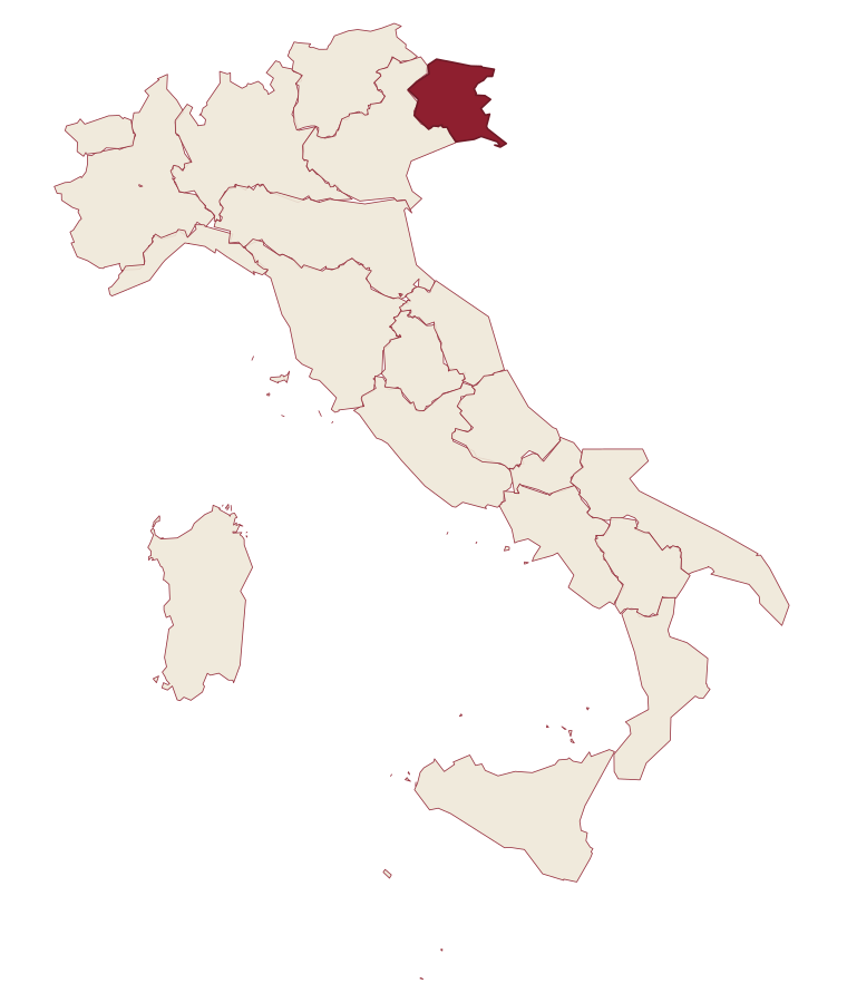
- Sauris is a comune in the province of Udine, in Friuli-Venezia Giulia, at 1212 meters above sea level.
- What is the nearest airport to Sauris?
- Venice (TSF), about 2h 8m by car.
- How long is the drive from Udine to Sauris?
- About 1h 17m by car.
- When is the best time to visit Sauris?
- Best in Jun–Sep, Dec–Mar. July is the warmest month, averaging 21 degrees, and June the wettest, with about 25 rain days.
- Is there a sagra or a festival in Sauris?
- Yes. Festa del Prosciutto di Sauris. July is when the first of them falls.
- Which other towns are like Sauris?
- Pescopennataro, Alessandria del Carretto and Alagna Valsesia.
- How many people live in Sauris?
- 389 at the 2023 count.
Tags & datadesignations · numbers · sources
Recognised as
The numbers
- Elevation: 1212 m
- Population: 389
- Surface area: 41.49 km²
These figures were compiled from public directories: ISTAT, OpenStreetMap and Wikidata, and from the official listings of the guides named on this page. Town details change; verify with official sources before you travel.
Similar
Towns like Sauris
Pescopennataro
Province: Isernia
both high in the mountains · both under 1,000 people
Alessandria del Carretto
Province: Cosenza
both high in the mountains · both under 1,000 people
Alagna Valsesia
Province: Vercelli
both high in the mountains · both under 1,000 people
Scontrone
Province: L'Aquila
both high in the mountains · both under 1,000 people
Rivisondoli
Province: L'Aquila
both high in the mountains · both under 1,000 people
Barrea
Province: L'Aquila
both high in the mountains · both under 1,000 people
💎 Borghi Autentici
More Borghi Autentici towns
Archi
Province: Chieti
A 492-meter rocky spur called the Terrazza sul Sangro, fief of del Balzo, Cantelmo, Colonna and Carafa, now Città del Tartufo and Città dell'Olio.
Balsorano
Province: L'Aquila
A pentagonal fortress above the Liri river that became a backdrop for 1970s Italian horror cinema.
Barrea
Province: L'Aquila
A 1,066-meter spur above an artificial lake at the heart of the Abruzzo National Park, with a Samnite necropolis and an 11th-century di Sangro castle.
Calascio
Province: L'Aquila
A village of 125 people under the highest castle in the Apennines, cast as the monk's refuge in Ladyhawke.
Campo di Giove
Province: L'Aquila
At 1,064 meters under the southwestern Maiella, the highest village in the park, named for a Roman temple to Jupiter.