
Sardinia · Sassari
Santa Teresa Gallura
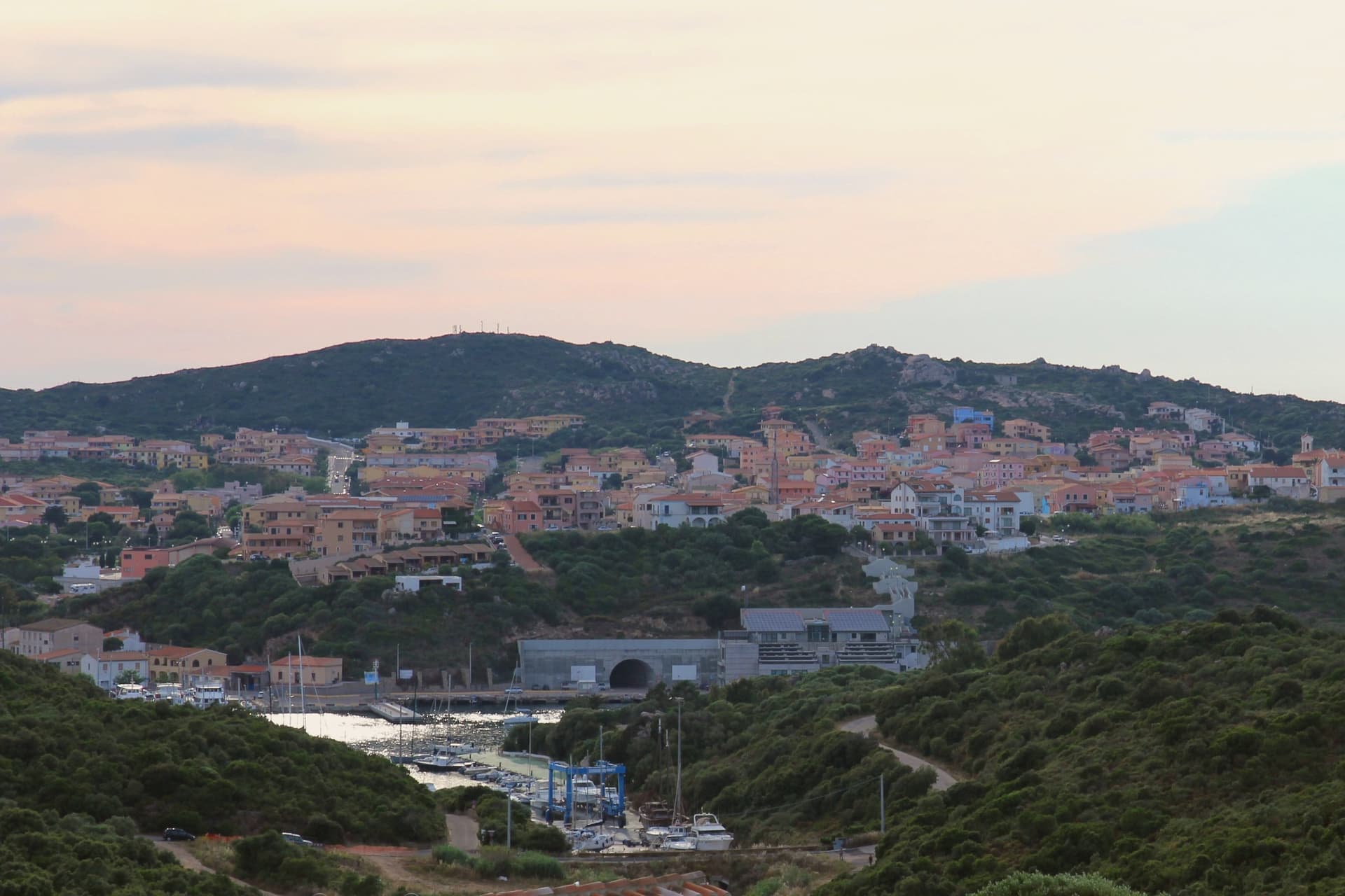
The northernmost town in Sardinia, founded in 1808 on a Turin-style grid above the Strait of Bonifacio and 11 kilometers from Corsica.
- Best time
- May–Oct
- By car
- 4 h 12 min from Cagliari
- Population
- 5,025
Known for
BOCCHE DI BONIFACIO
The 11-kilometer strait between Sardinia and Corsica, scattered with reefs and known to sailors for strong currents and traffic.
CAPO TESTA
Granite peninsula weathered into round boulders, Roman quarry site for the columns of the Pantheon and several Constantinople churches.
SAVOY GRID
Founded 1808 by Vittorio Emanuele I and laid out on a regular Turin-style grid, the only Savoy-planned town on the Sardinian coast.
VERMENTINO DI GALLURA
The commune lies inside the Vermentino di Gallura DOCG production zone.
When to visit
Best · May–Oct
- J13°
- F15°
- M15°
- A18°
- M22°
- J27°
- J31°
- A30°
- S26°
- O22°
- N18°
- D15°
- Best
- Hot or crowded
- Quiet
- Mostly closed
Daytime averages, 2020–2024. Weather data by Open-Meteo.com.
The festa: San Vittorio Martire, Santa Teresa d'Avila, Sant'Isidoro Agricoltore, 14 October
Why come
Santa Teresa Gallura sits on the northern tip of Sardinia, facing the Strait of Bonifacio. Corsica is 11 kilometers away across the water, the closest point between the two islands. The town was founded on August 12, 1808 by King Vittorio Emanuele I of Savoy and named for his wife Maria Teresa of Austria-Este, built over the older settlement of Longonsardo and laid out on a regular grid borrowed from Turin.
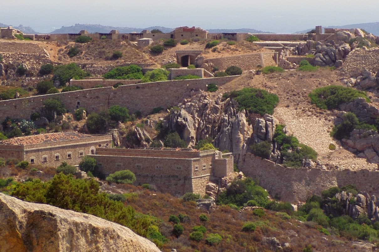
Before the Savoy refoundation, Philip II of Spain had already raised the Torre di Longonsardo on the headland in the 1570s, one of the coastal towers built to watch for North African raiders. Capo Testa, the granite peninsula west of town, is a Hercynian outcrop weathered into round boulders and arches, with a lighthouse at its tip and the Cala di l'Ea wind-carved cove on its eastern shore. Rena Bianca, the town beach, has held the Bandiera Blu since 1987.
The Sunday letter
Santa Teresa Gallura is on our list. Its letter is still to come.
We are writing about all 1,000 of these towns, one at a time, in a free letter every Sunday: the photo, the food, the festa. That is our mission. Sign up and you will be there when Santa Teresa Gallura comes up. By Peter & Sophia, from Pietrasanta.
Read on
Santa Teresa Gallura in our articles
 The best coastal towns that eat well in Sardegna6 towns, Santa Teresa Gallura among them.
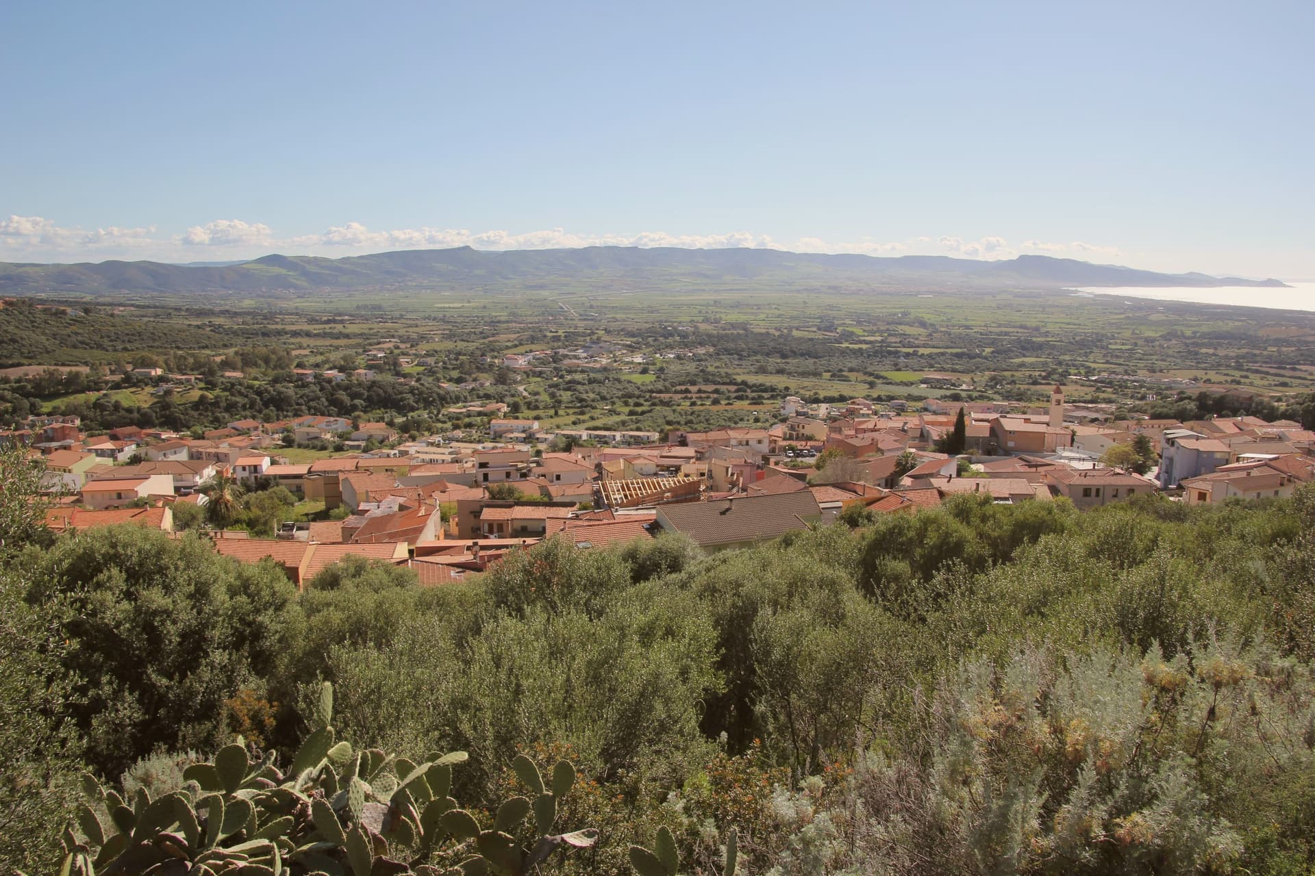 The best beach towns in Sardegna7 towns, Santa Teresa Gallura among them.
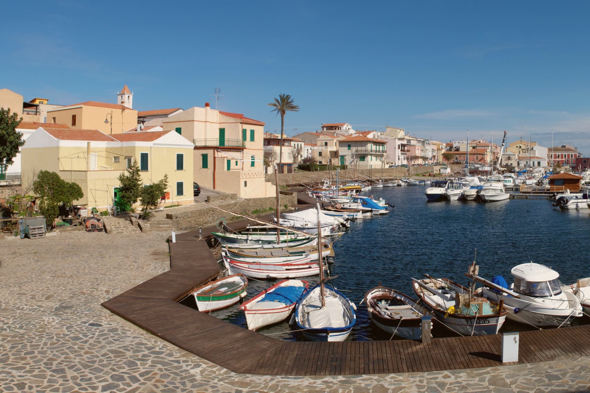 The best coastal towns in the province of Sassari7 towns, Santa Teresa Gallura among them.
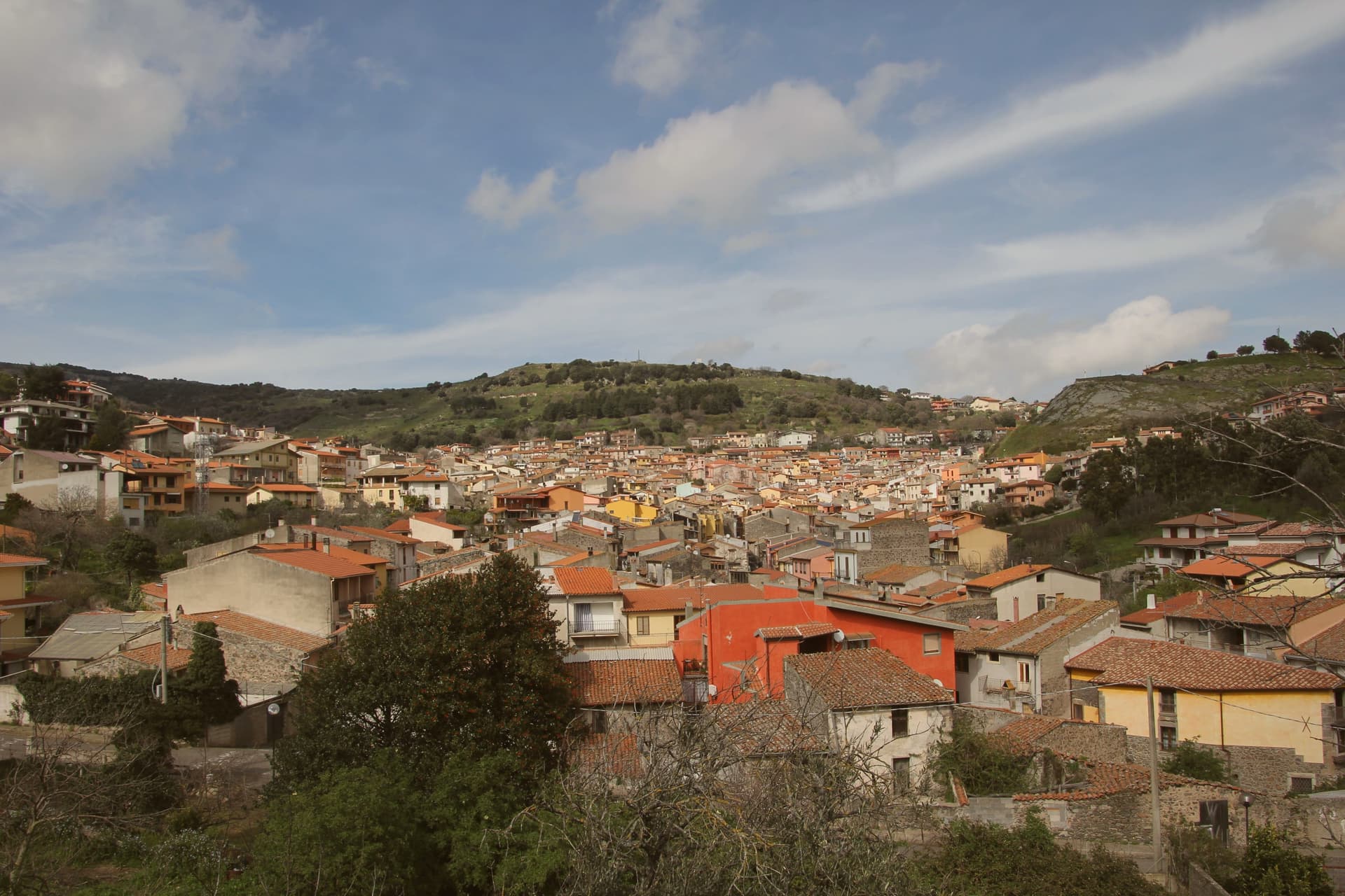 The best hidden towns that eat well in Sardegna9 towns, Santa Teresa Gallura among them.
How to get there
From Cagliari (CAG), about 4h 30m by car.
What to see
Torre di Longonsardo
Late 16th-century Spanish coastal watchtower built under Philip II, the headland landmark above the town and a free viewpoint.
Spiaggia Rena Bianca
Town beach of white sand and shallow turquoise water, Bandiera Blu holder since 1987, a short walk from the central piazza.
Capo Testa
Granite peninsula west of town shaped by erosion into round boulders, arches and natural pools, with a working lighthouse at the western tip.
Valle della Luna
Sheltered granite cove on Capo Testa with rock formations and shallow pools, accessible by footpath from the parking area.
Piazza Vittorio Emanuele I
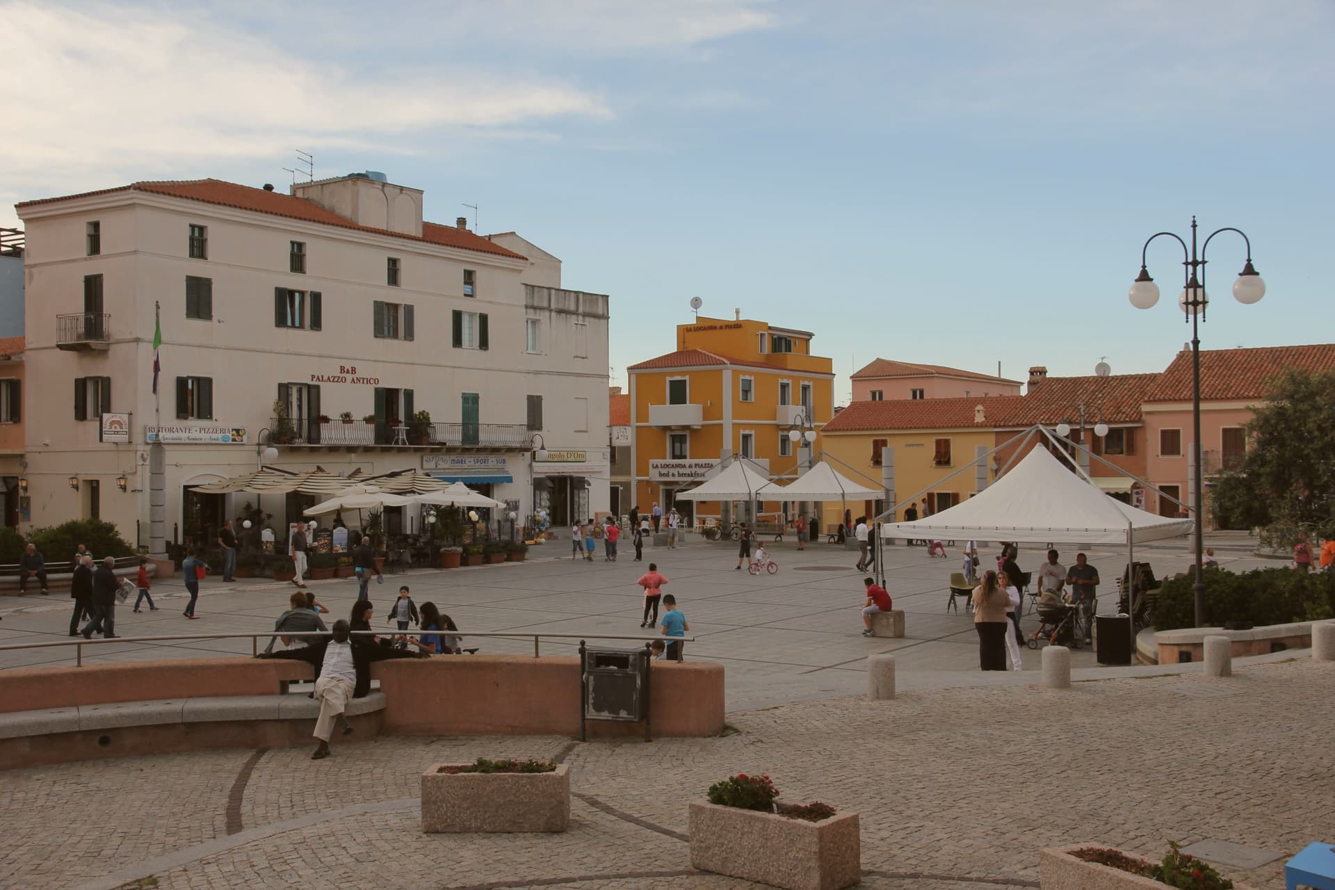
Main square at the heart of the Savoy grid plan, named for the founder king and ringed by 19th-century low buildings.
The slow-trip planner
Building a trip? Find where Santa Teresa Gallura fits in a slow Italy circuit.
Answer five questions. We will shape a geographically coherent slow trip from the 1,000 Italian towns most travelers skip. Yours to save and share.
We recommend
Where to eat
Not our picks, but places the guides put their name to: a Michelin star, a Gambero Rosso fork, a Slow Food snail, a Michelin Key for the hotels. Worth a table, a counter, or a night when you pass through.
Da ThomasRistorante
Da Thomas has two Gambero Rosso forks (82/100) to its name.
Millo RistoranteRistorante
Millo Ristorante carries a spot in the Michelin Guide.
Living here
- Population 5,025
- Remotei
- Pharmacy in town
- High school within a 30-minute drive
- Nearest airport Cagliari, 4 h 30 min drive
- Regional capital Cagliari, 4 h 17 min drive
Common questions
- What is Santa Teresa Gallura known for?
- Santa Teresa Gallura is the northernmost town in Sardinia, founded in 1808 on a Turin-style grid above the Strait of Bonifacio and 11 kilometers from Corsica.
- Where is Santa Teresa Gallura?
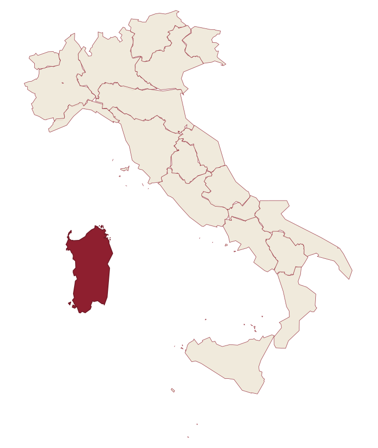
- Santa Teresa Gallura is a comune in the province of Sassari, in Sardinia, at 44 meters above sea level.
- What is the nearest airport to Santa Teresa Gallura?
- Cagliari (CAG), about 4h 30m by car.
- When is the best time to visit Santa Teresa Gallura?
- Best in May–Oct. July is the warmest month, averaging 31 degrees, and November the wettest, with about 11 rain days.
- Is there a sagra or a festival in Santa Teresa Gallura?
- The town keeps its patron saint's day: San Vittorio Martire, Santa Teresa d'Avila, Sant'Isidoro Agricoltore, 14 October.
- Which other towns are like Santa Teresa Gallura?
- Castelsardo, Palau and Orosei.
- How many people live in Santa Teresa Gallura?
- 5,025 at the 2023 count.
Tags & datadesignations · numbers · sources
Recognised as
The numbers
- Elevation: 44 m
- Population: 5,025
- Surface area: 102.29 km²
These figures were compiled from public directories: ISTAT, OpenStreetMap and Wikidata, and from the official listings of the guides named on this page. Town details change; verify with official sources before you travel.
Similar
Towns like Santa Teresa Gallura
Castelsardo
Province: Sassari
both on the Sardinian coast · both between 3,000 and 10,000 people
Palau
Province: Sassari
both on the Sardinian coast · both between 3,000 and 10,000 people
Orosei
Province: Nuoro
both on the Sardinian coast · both between 3,000 and 10,000 people
Carloforte
Province: Sud Sardegna
both on the Sardinian coast · both between 3,000 and 10,000 people
Maruggio
Province: Taranto
both between 3,000 and 10,000 people · both near sea level
San Vito Lo Capo
Province: Trapani
both between 3,000 and 10,000 people · both near sea level
🟦 Bandiera Blu
More Bandiera Blu towns in Sardinia
Badesi
Province: Sassari
A Gallura commune founded by shepherding families in the 1700s, its territory running from a hilltop village down to eight kilometers of dunes at the Coghinas river mouth.
Castelsardo
Province: Sassari
A Doria sea fortress at 114 meters above the Gulf of Asinara, Genoese from 1100, Aragonese from 1448, Savoyard from the 1700s.
La Maddalena
Province: Sassari
The only inhabited town of a sixty-island granite archipelago between Sardinia and Corsica, and the place Giuseppe Garibaldi chose to die.
Oristano
Province: Oristano
The old capital of the Giudicato di Arborea, city of Eleonora and the Carta de Logu, host of Sa Sartiglia equestrian joust at Carnival.
Palau
Province: Sassari
The Gallura port with a weather-shaped granite bear on the headland that gave the town its emblem.