
Sardinia · Sassari
Palau
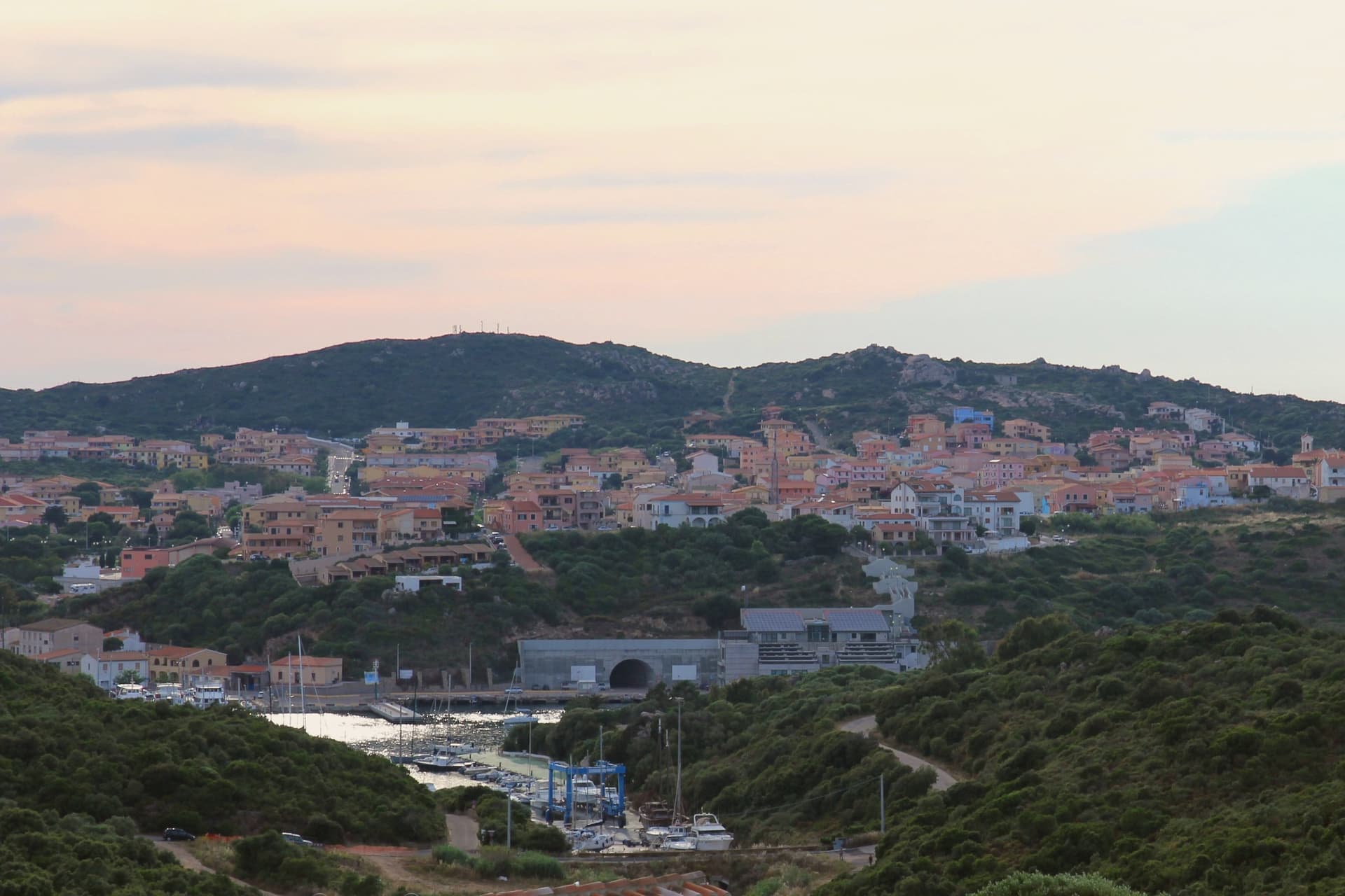
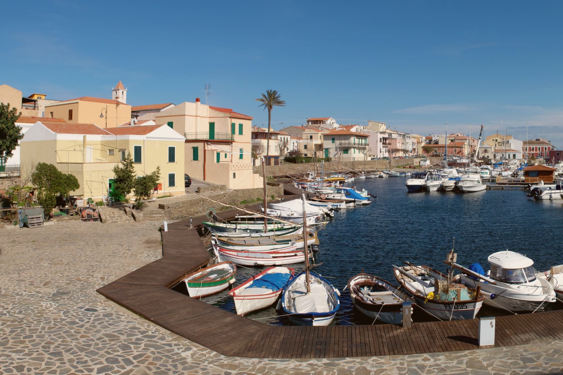
The Gallura port with a weather-shaped granite bear on the headland that gave the town its emblem.
- Best time
- May–Oct
- By car
- 4 h 13 min from Cagliari
- By train
- Station in the comune
- Population
- 4,048
Known for
LA MADDALENA GATEWAY
Main embarkation point for the seven-island Maddalena archipelago, with year-round ferry service across the strait.
ROCCIA DELL'ORSO
The 122-meter granite bear on the headland east of town, weathered into shape over millennia and the town's emblem.
PORTO POLLO WINDS
Isola dei Gabbiani and the Porto Pollo bays host international windsurfing and kitesurfing events thanks to consistent mistral exposure.
VERMENTINO DI GALLURA
The commune lies inside the Vermentino di Gallura DOCG production zone.
When to visit
Best · May–Oct
- J13°
- F15°
- M15°
- A17°
- M21°
- J27°
- J30°
- A30°
- S26°
- O22°
- N18°
- D15°
- Best
- Hot or crowded
- Quiet
- Mostly closed
Daytime averages, 2020–2024. Weather data by Open-Meteo.com.
Why come
Palau is young by Italian standards. The first houses went up in the first half of the 19th century, when shepherds from Tempio Pausania came down to the coast for summer pasture. The dialect spoken is Gallurese, the same as inland Tempio, a trace of where the town's founders came from.
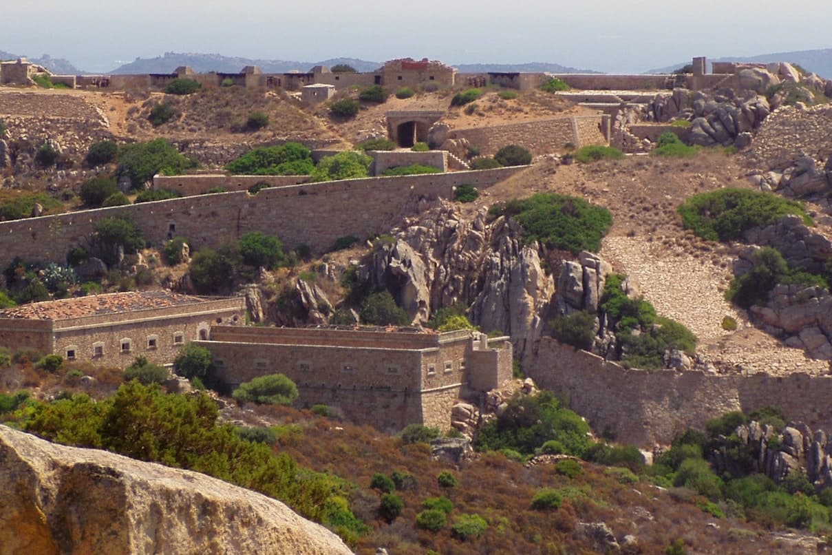
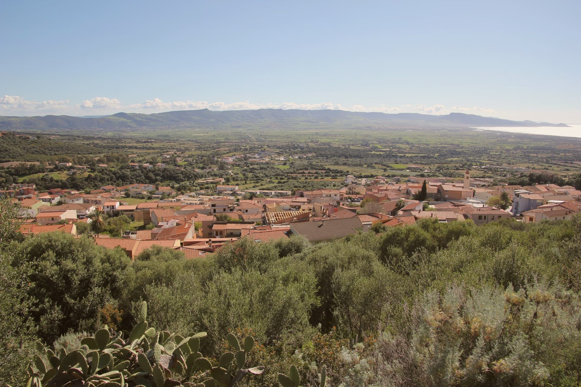
The town's shape follows its coast: a working port at the center, the headland with its granite outcrop to the east, the fortress on the high ground behind, and the windsurfing peninsula out to the west. None of these sit far from each other, so a settlement built for shepherds' summer pasture became, in the same stretch of shoreline, a naval lookout, a ferry gateway, and a wind sport venue without much distance between any of them.
The Sunday letter
Palau is on our list. Its letter is still to come.
We are writing about all 1,000 of these towns, one at a time, in a free letter every Sunday: the photo, the food, the festa. That is our mission. Sign up and you will be there when Palau comes up. By Peter & Sophia, from Pietrasanta.
Read on
Palau in our articles
How to get there
From Cagliari (CAG), about 4h 30m by car.
There is a railway station in the comune, so you can arrive without a car.
What to see
Roccia dell'Orso
Recorded by Greek and Roman navigators as a landmark for the strait. The climb up to it gives a view over the port and across to La Maddalena.
Fortezza di Monte Altura
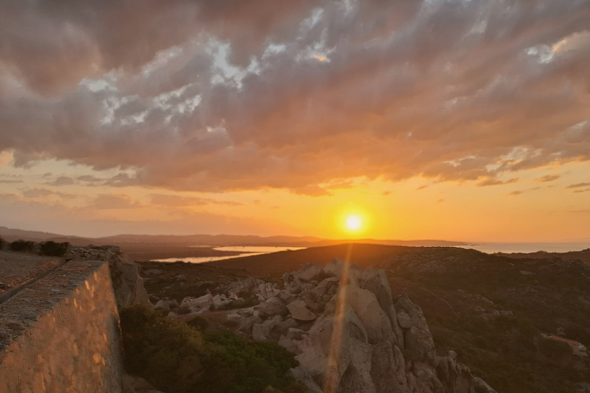
Built 1887-1889 as part of the defensive belt protecting the naval base across the water. Open for guided visits, standing above the town rather than in it.
Isola dei Gabbiani
A tied-island peninsula, meaning it connects to the mainland by a low sandy bar rather than open water. The shallows on the sheltered side make it navigable even for beginners.
Porto Palau
Crossings to La Maddalena run every 30 minutes in summer, close enough that the archipelago is visible from the quay for most of the wait.
Porto Pollo
The two bays sit back to back: calm and shallow on one side, open to the mistral on the other, so the same stretch of sand serves both a swimming beach and a launch point for sails.
The slow-trip planner
Building a trip? Find where Palau fits in a slow Italy circuit.
Answer five questions. We will shape a geographically coherent slow trip from the 1,000 Italian towns most travelers skip. Yours to save and share.
We recommend
Where to eat and stay
Not our picks, but places the guides put their name to: a Michelin star, a Gambero Rosso fork, a Slow Food snail, a Michelin Key for the hotels. Worth a table, a counter, or a night when you pass through.
Il PaguroRistorante
Two Gambero Rosso forks (80/100) for Il Paguro, and a spot in the Michelin Guide.
La GrittaRistorante
La Gritta carries one Gambero Rosso fork (76/100), plus a spot in the Michelin Guide.
Hotel Capo D'Orso Thalasso and SpaHotel
Hotel Capo D'Orso Thalasso and Spa holds a La Liste score of 93.5 and a Leading Hotels of the World listing.
Living here
- Population 4,048
- Remotei
- Pharmacy in town
- High school within a 30-minute drive
- Train station in the comune
- Nearest airport Cagliari, 4 h 30 min drive
- Regional capital Cagliari, 4 h 18 min drive
Common questions
- What is Palau known for?
- Palau is the Gallura port with a weather-shaped granite bear on the headland that gave the town its emblem.
- Where is Palau?
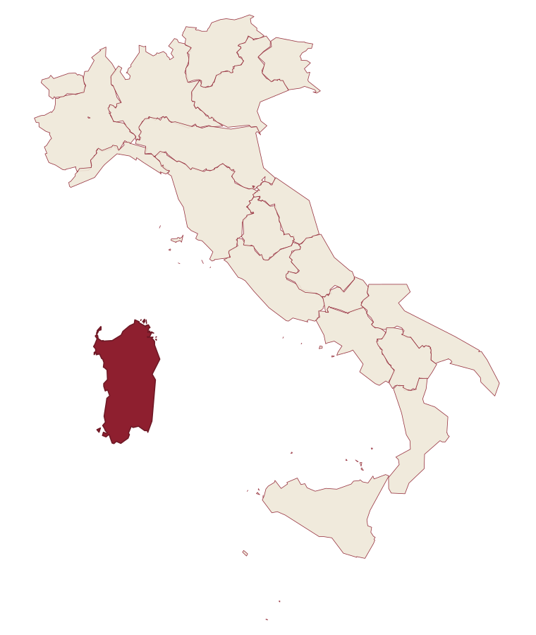
- Palau is a comune in the province of Sassari, in Sardinia, at 5 meters above sea level.
- What is the nearest airport to Palau?
- Cagliari (CAG), about 4h 30m by car.
- Can you get to Palau without a car?
- Yes. There is a railway station in the comune, so you can arrive by train.
- When is the best time to visit Palau?
- Best in May–Oct. July is the warmest month, averaging 30 degrees, and November the wettest, with about 11 rain days.
- Which other towns are like Palau?
- Santa Teresa Gallura, Orosei and Castelsardo.
- How many people live in Palau?
- 4,048 at the 2023 count.
Tags & datadesignations · numbers · sources
Recognised as
The numbers
- Elevation: 5 m
- Population: 4,048
- Surface area: 44.44 km²
These figures were compiled from public directories: ISTAT, OpenStreetMap and Wikidata, and from the official listings of the guides named on this page. Town details change; verify with official sources before you travel.
Similar
Towns like Palau
Santa Teresa Gallura
Province: Sassari
both on the Sardinian coast · both between 3,000 and 10,000 people
Orosei
Province: Nuoro
both on the Sardinian coast · both between 3,000 and 10,000 people
Castelsardo
Province: Sassari
both on the Sardinian coast · both between 3,000 and 10,000 people
Carloforte
Province: Sud Sardegna
both on the Sardinian coast · both between 3,000 and 10,000 people
Bibbona
Province: Livorno
both between 3,000 and 10,000 people · both near sea level
Specchia
Province: Lecce
both between 3,000 and 10,000 people · both near sea level
🟦 Bandiera Blu
More Bandiera Blu towns in Sardinia
Badesi
Province: Sassari
A Gallura commune founded by shepherding families in the 1700s, its territory running from a hilltop village down to eight kilometers of dunes at the Coghinas river mouth.
Castelsardo
Province: Sassari
A Doria sea fortress at 114 meters above the Gulf of Asinara, Genoese from 1100, Aragonese from 1448, Savoyard from the 1700s.
La Maddalena
Province: Sassari
The only inhabited town of a sixty-island granite archipelago between Sardinia and Corsica, and the place Giuseppe Garibaldi chose to die.
Oristano
Province: Oristano
The old capital of the Giudicato di Arborea, city of Eleonora and the Carta de Logu, host of Sa Sartiglia equestrian joust at Carnival.
Santa Teresa Gallura
Province: Sassari
The northernmost town in Sardinia, founded in 1808 on a Turin-style grid above the Strait of Bonifacio and 11 kilometers from Corsica.