
Sardinia · Nuoro
Orosei
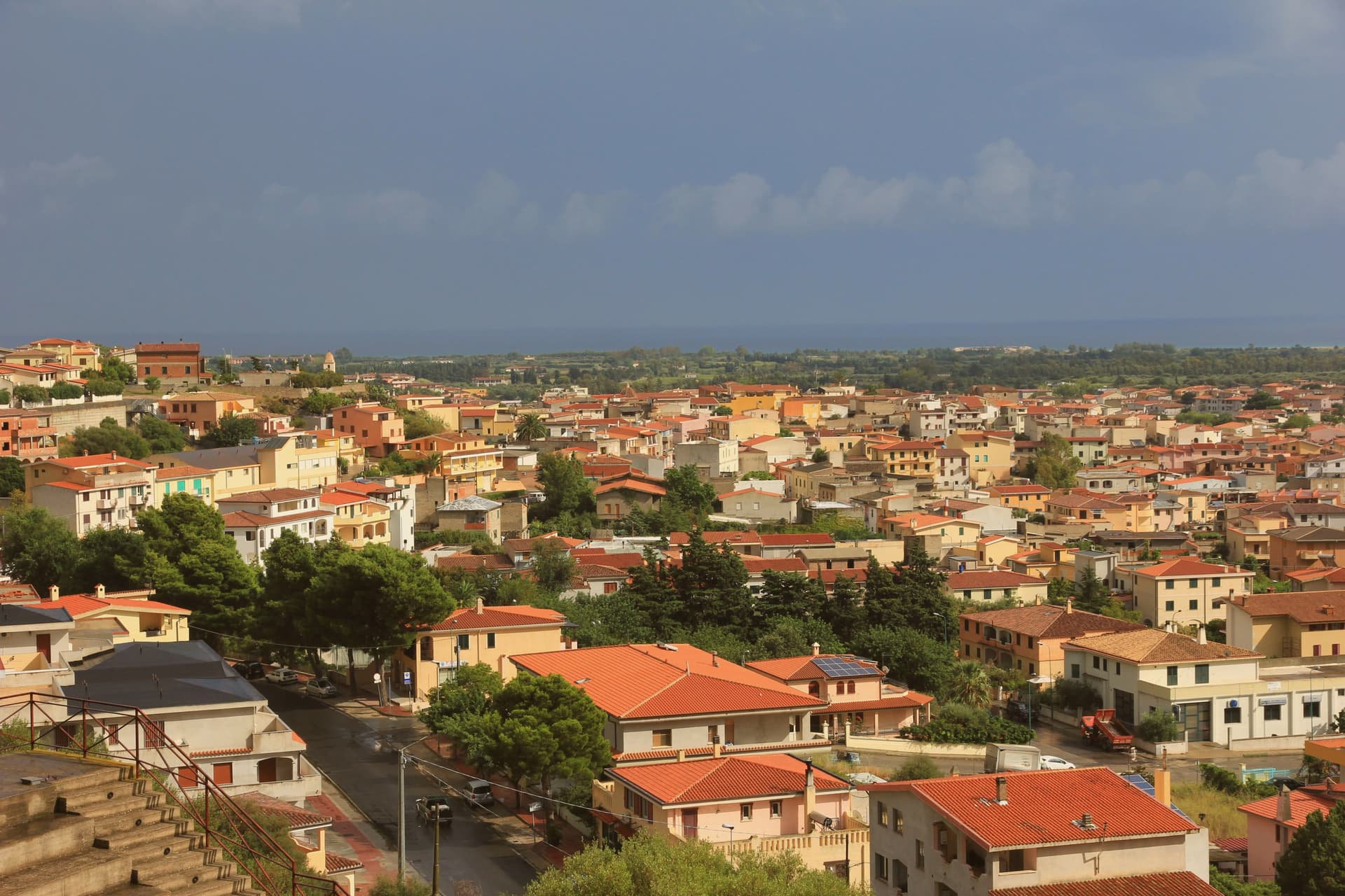
A small Baroque town in the Cedrino valley, two kilometers from the limestone gulf whose southern coves are reached only by boat.
- Best time
- May–Oct
- By car
- 3 h 15 min from Cagliari
- Population
- 6,809
Known for
GULF OF OROSEI
Forty kilometers of limestone cliffs and boat-only coves between the river mouth and Capo Monte Santo, named for the town itself.
THIRTEEN CHURCHES
Of the twenty-seven historical churches documented in Orosei, thirteen still stand inside or close to the old town.
CEDRINO VALLEY OIL
Olive oil from the alluvial Cedrino valley earns Orosei its place in the Città dell'Olio network.
When to visit
Best · May–Oct
- J14°
- F15°
- M16°
- A18°
- M22°
- J26°
- J31°
- A31°
- S27°
- O23°
- N19°
- D16°
- Best
- Hot or crowded
- Quiet
- Mostly closed
Daytime averages, 2020–2024. Weather data by Open-Meteo.com.
The festa: Giacomo il Maggiore, 25 July
Why come
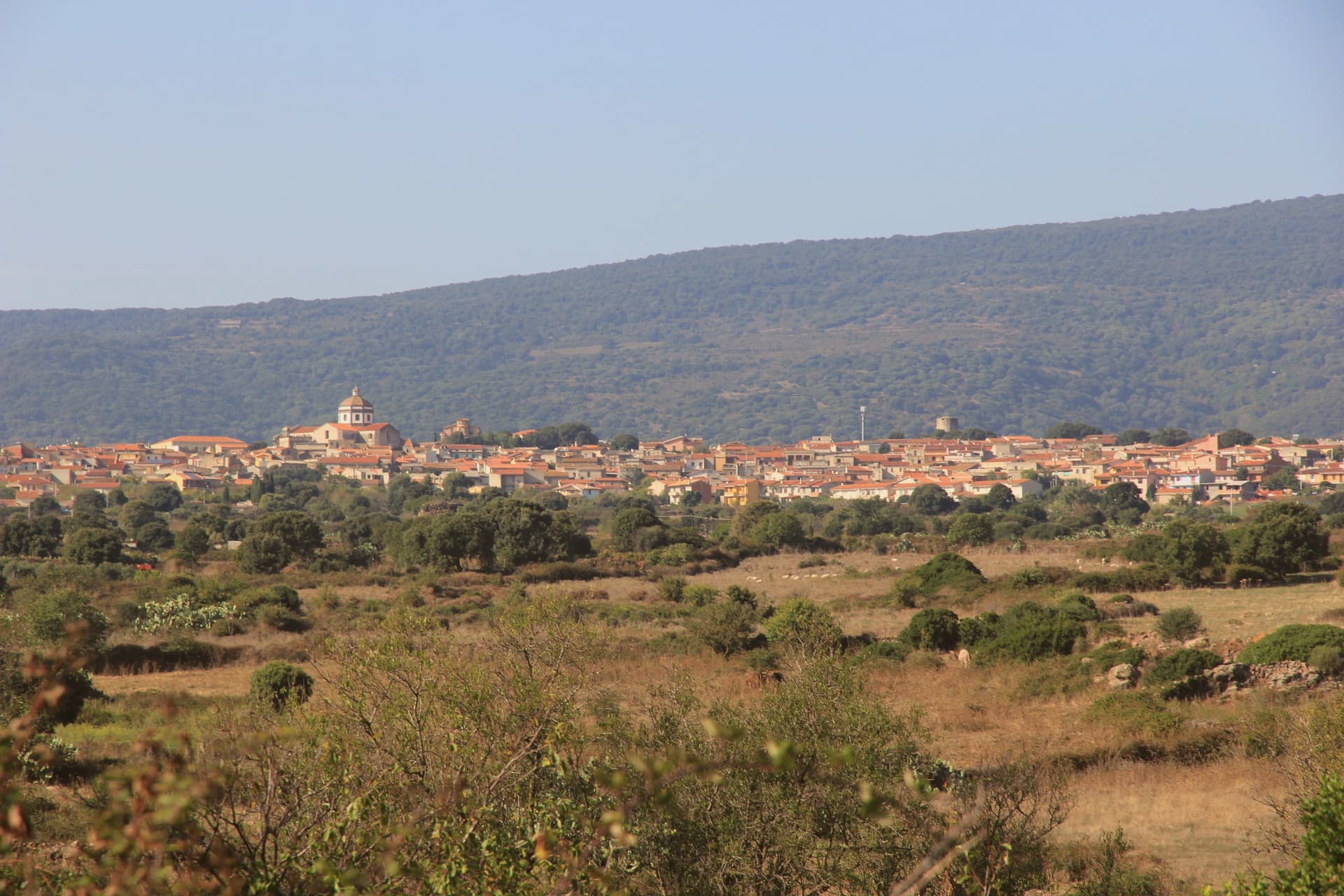
Orosei sits, two kilometers inland from the coast, in the valley the Cedrino has built over an eighty-kilometer run from its source to the river mouth just below the town. The gulf beyond takes its name from the village, not the reverse, and the town's old centre and its churches sit apart from the coastline they are named after: the historic core inland, the cliffs and coves to the south, connected only by the river's short final stretch to the sea. The old town itself holds more churches than most: twenty-seven recorded across its history, thirteen still standing, clustered in and around a centre that also carries the remains of a walled castle and a fortified religious complex nearby.
Baroque, Romanesque and volcanic stone construction sit close together here, the layers of the town's church-building visible within a small radius rather than spread across the wider district. The valley that separates the old town from the cliffs is the same alluvial ground that produces its olive oil, so the same river shapes both the town's inland economy and the outlet where it reaches the sea. Orosei reads, in the end, as an inland settlement whose name attached itself to a coastline it does not touch.
The Sunday letter
Orosei is on our list. Its letter is still to come.
We are writing about all 1,000 of these towns, one at a time, in a free letter every Sunday: the photo, the food, the festa. That is our mission. Sign up and you will be there when Orosei comes up. By Peter & Sophia, from Pietrasanta.
How to get there
From Cagliari (CAG), about 3h 29m by car.
What to see
Chiesa di San Giacomo Apostolo
Reached by a wide staircase above Piazza del Popolo, the white façade dates to the eighteenth century though the dedication is older.
Chiesa di Sant'Antonio Abate
Volcanic stone raised over a Romanesque base, its interior frescoes among the oldest surviving decoration in the old town.
Sa Prejonevetza
A single tower is what remains of the walls that once closed the castle. Locals still use the old name, a memory of its time as a prison.
Golfo di Orosei
The cliffs rise directly from the water for the length of the coast, and the coves cut into them, Cala Luna, Cala Goloritzè, Cala Mariolu among them, have no road access at all. The only way in is from the sea, from Cala Gonone.
Spiaggia di Osalla
The river runs its course to the sea here, alluvium spreading into the water south of the centre where the two meet.
The slow-trip planner
Building a trip? Find where Orosei fits in a slow Italy circuit.
Answer five questions. We will shape a geographically coherent slow trip from the 1,000 Italian towns most travelers skip. Yours to save and share.
Living here
- Population 6,809
- Remotei
- Pharmacy in town
- High school within a 30-minute drive
- Nearest airport Cagliari, 3 h 29 min drive
- Regional capital Cagliari, 3 h 16 min drive
Common questions
- What is Orosei known for?
- Orosei is a small Baroque town at 19 meters in the Cedrino valley, two kilometers from the limestone gulf whose southern coves are reached only by boat.
- Where is Orosei?
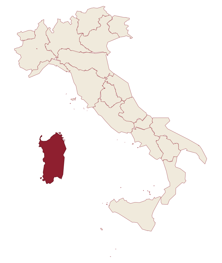
- Orosei is a comune in the province of Nuoro, in Sardinia.
- What is the nearest airport to Orosei?
- Cagliari (CAG), about 3h 29m by car.
- When is the best time to visit Orosei?
- Best in May–Oct. August is the warmest month, averaging 31 degrees, and November the wettest, with about 10 rain days.
- Is there a sagra or a festival in Orosei?
- The town keeps its patron saint's day: Giacomo il Maggiore, 25 July.
- Which other towns are like Orosei?
- Santa Teresa Gallura, Castelsardo and Palau.
- How many people live in Orosei?
- 6,809 at the 2023 count.
Tags & datadesignations · numbers · sources
Recognised as
The numbers
- Elevation: 19 m
- Population: 6,809
- Surface area: 91 km²
These figures were compiled from public directories: ISTAT, OpenStreetMap and Wikidata, and from the official listings of the guides named on this page. Town details change; verify with official sources before you travel.
Similar
Towns like Orosei
Santa Teresa Gallura
Province: Sassari
both on the Sardinian coast · both between 3,000 and 10,000 people
Castelsardo
Province: Sassari
both on the Sardinian coast · both between 3,000 and 10,000 people
Palau
Province: Sassari
both on the Sardinian coast · both between 3,000 and 10,000 people
Carloforte
Province: Sud Sardegna
both on the Sardinian coast · both between 3,000 and 10,000 people
Rosolina
Province: Rovigo
both between 3,000 and 10,000 people · both near sea level
Toscolano-Maderno
Province: Brescia
both between 3,000 and 10,000 people · both near sea level
💎 Borghi Autentici
More Borghi Autentici towns in Sardinia
Aggius
Province: Sassari
A Gallura granite village at 514 meters under the Monti di Aggius, with the largest ethnographic museum in Sardegna and three centuries of bandit history.
Aritzo
Province: Nuoro
A Mandrolisai mountain village at 800 meters in chestnut and hazelnut forest, where snow once travelled out in straw and came back as lemon sorbet.
Cuglieri
Province: Oristano
A Montiferru town at 428 meters, with the first minor basilica in Sardegna above it and the ruins of Punic Cornus below.
Galtellì
Province: Nuoro
Grazia Deledda's 'Canne al vento' set: a 2,354-resident Baronia borgo in Sardinia's northeast, with the entire centro recognised as the Parco Letterario Grazia Deledda for being the literal setting of her 1913 Nobel-trajectory novel.
Masullas
Province: Oristano
A Marmilla village at 129 meters where a 17th-century Capuchin convent houses fossils, minerals, and volcanic history.