
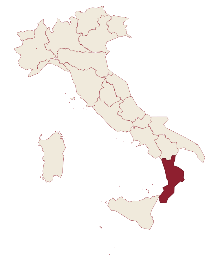
Calabria · Cosenza
Rocca Imperiale
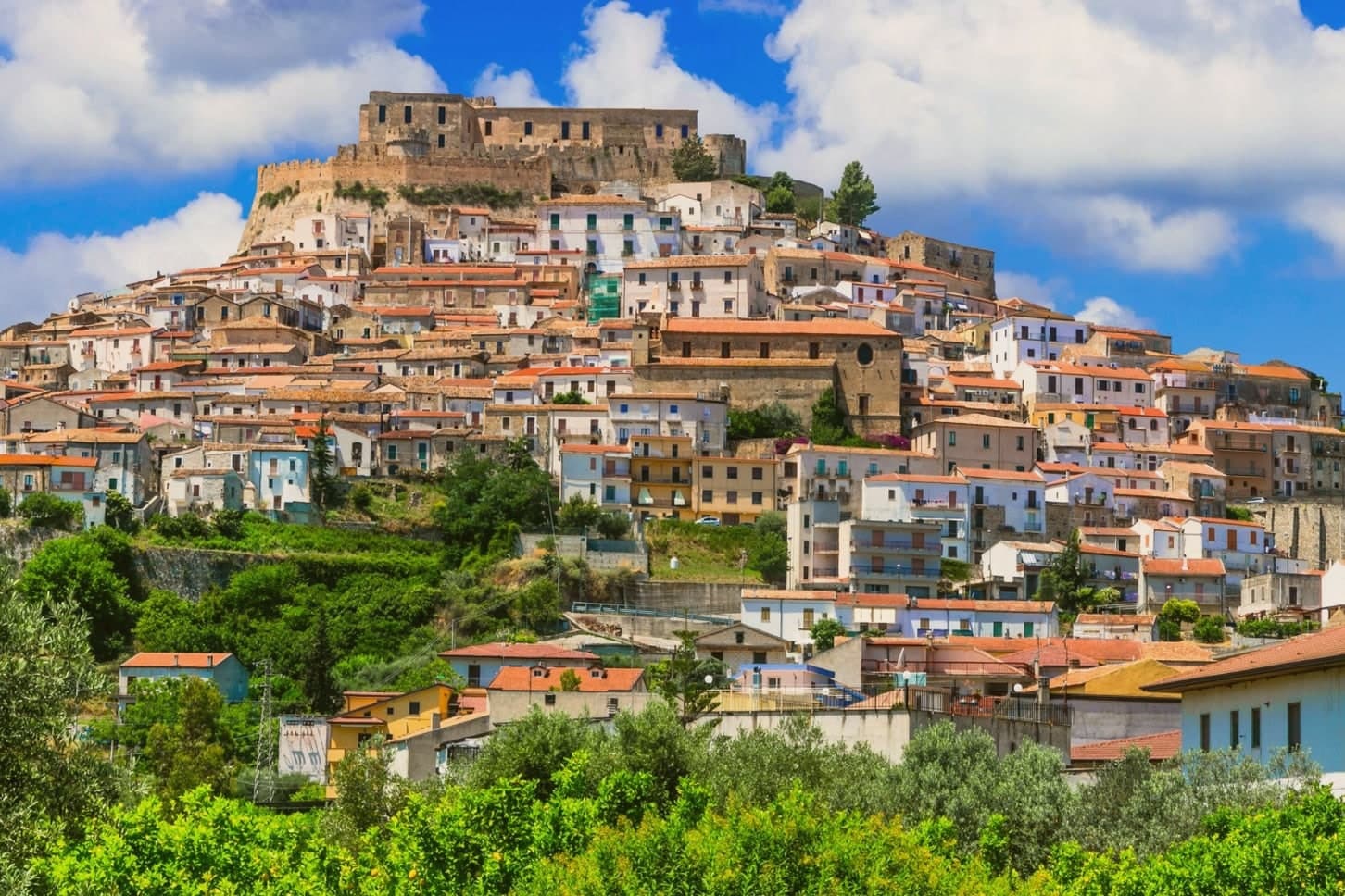
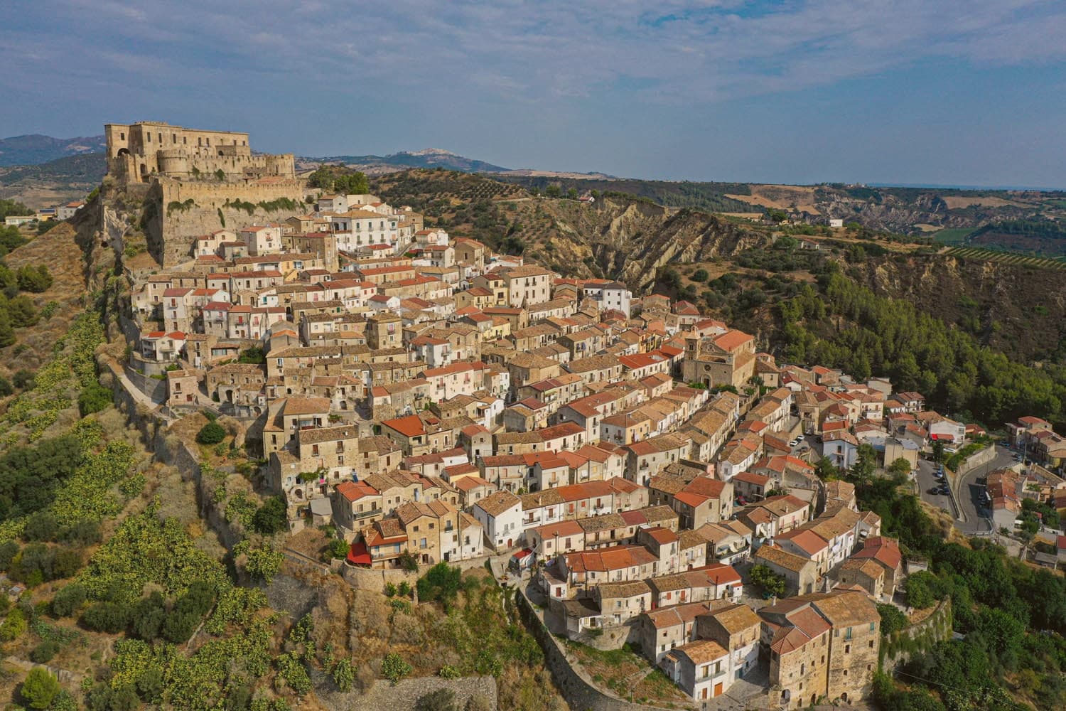
Frederick II's Hohenstaufen fortress at the Calabria–Basilicata border, a Borgo più Bello d'Italia perched on a hill above the Ionian coast, with the castello at the summit and the locally-grown limone di Rocca Imperiale IGP scenting the orchards.
- Best time
- May–Jun, Sep–Oct
- By car
- 2 h from Bari
- By train
- Station in the comune
- Population
- 3,204
Known for
FREDERICK II'S CASTLE
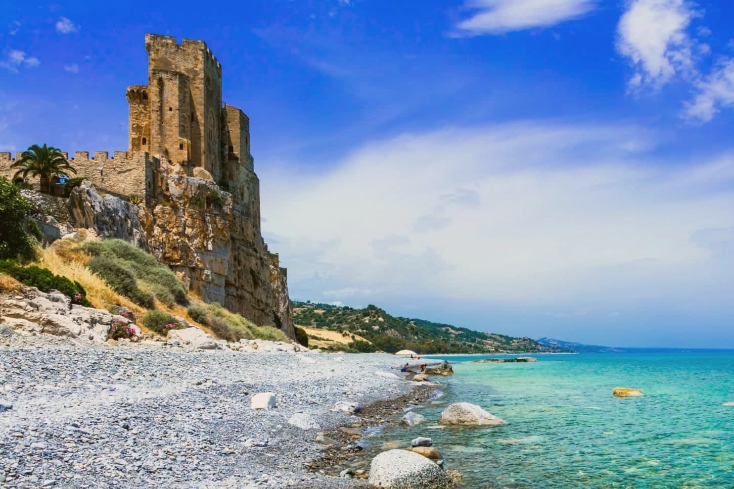
1225 Hohenstaufen fortress, one of the Stupor Mundi's network of Apulian-Lucanian-Calabrian strongholds. Square plan, four corner towers, two cylindrical.
BORGHI PIÙ BELLI
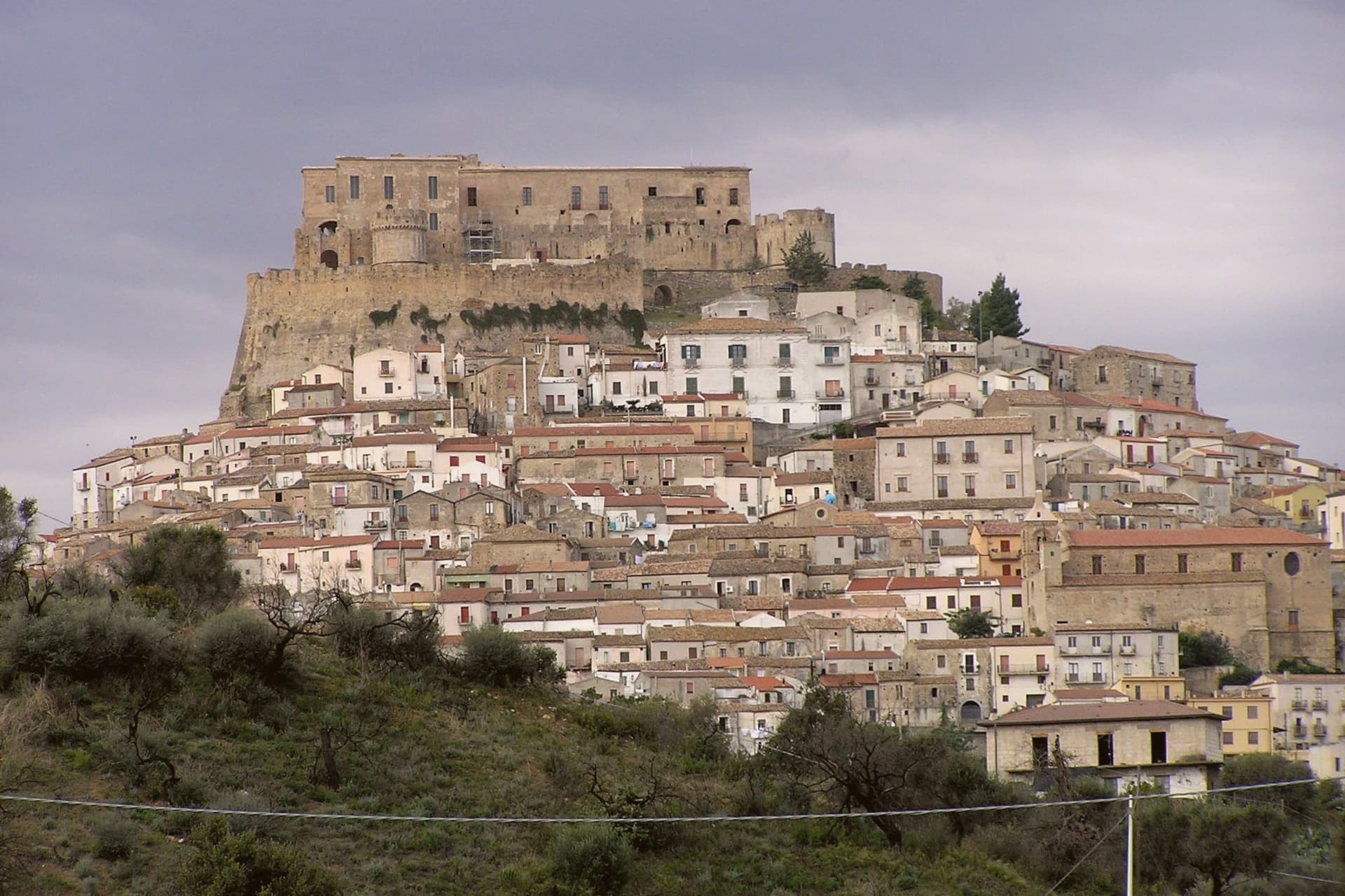
On the official Most Beautiful Villages of Italy list, the whitewashed borgo cascading downhill from the castle is exceptionally photogenic.
BANDIERA BLU MARINA
The long sandy coast 1 km downhill holds the Bandiera Blu every year for water and beach quality.
LIMONE IGP
A small acidic lemon grown only here, IGP-protected, central to the local liqueur and pasta tradition. Festa del Limone in early August.
When to visit
Best · May–Jun, Sep–Oct
- J13°
- F15°
- M16°
- A19°
- M24°
- J30°
- J34°
- A33°
- S28°
- O23°
- N18°
- D14°
- Best
- Hot or crowded
- Quiet
- Mostly closed
Daytime averages, 2020–2024. The sea is warmest in July at 29° and coldest in February at 14°. Weather data by Open-Meteo.com.
Why come
Rocca Imperiale is the northernmost commune of Calabria, pressed against the Basilicata border on the Ionian coast. The hilltop borgo sits a kilometre inland from the long sandy Marina, the two connected by the slope the town has always used to move between fortress and shore. The castle stands on a defensible hill chosen to command the coastal route between Taranto and Reggio Calabria, and the borgo grew downhill from it in tight medieval grids of whitewashed houses and narrow vicoli, with the Chiesa Madre dell'Assunta, a 15th-century church with a Madonna by Pietro Bernini, father of Gian Lorenzo, anchoring the central piazza.
Inland and upland frame the town on the other side: the Pollino park lies 30 km west and the Sila highlands further south, making Rocca a base for both while the coastal frazione below handles the beach trade. The food is north-Calabrian-meets-Lucanian: peperoni cruschi, pasta with lardo and chilli, pesce azzurro from the Ionian, and the lemon grown only in the surrounding belt, used in liqueurs and the local pasta al limone. The Festa del Limone in early August is the year's main event. The town works because its geography does the sorting: fortress and church hold the hill, the lemon groves hold the middle slope, and the marina holds the shore, each part visible from the others across the same short drop to the sea.
The Sunday letter
Rocca Imperiale is on our list. Its letter is still to come.
We are writing about all 1,000 of these towns, one at a time, in a free letter every Sunday: the photo, the food, the festa. That is our mission. Sign up and you will be there when Rocca Imperiale comes up. By Peter & Sophia, from Pietrasanta.
Read on
Rocca Imperiale in our articles
 The best hidden beach towns you can reach by train in the province of Cosenza6 towns, Rocca Imperiale among them.
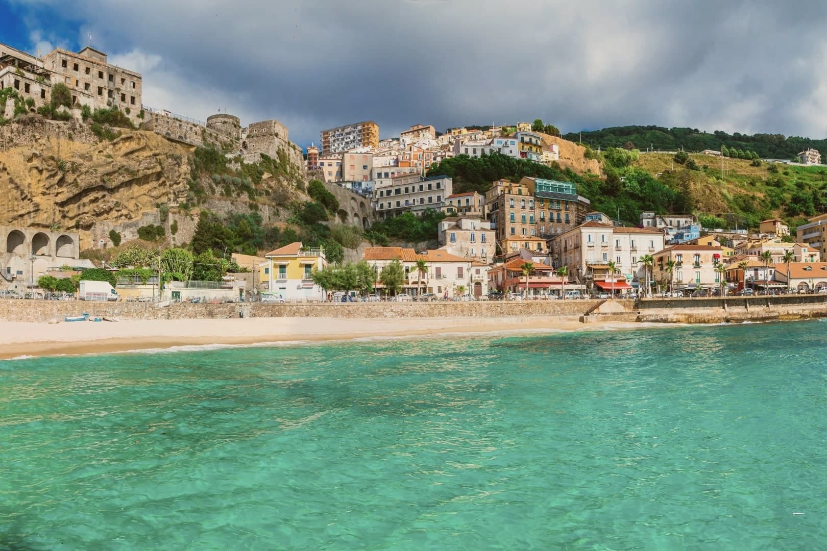 The best small coastal towns in Calabria6 towns, Rocca Imperiale among them.
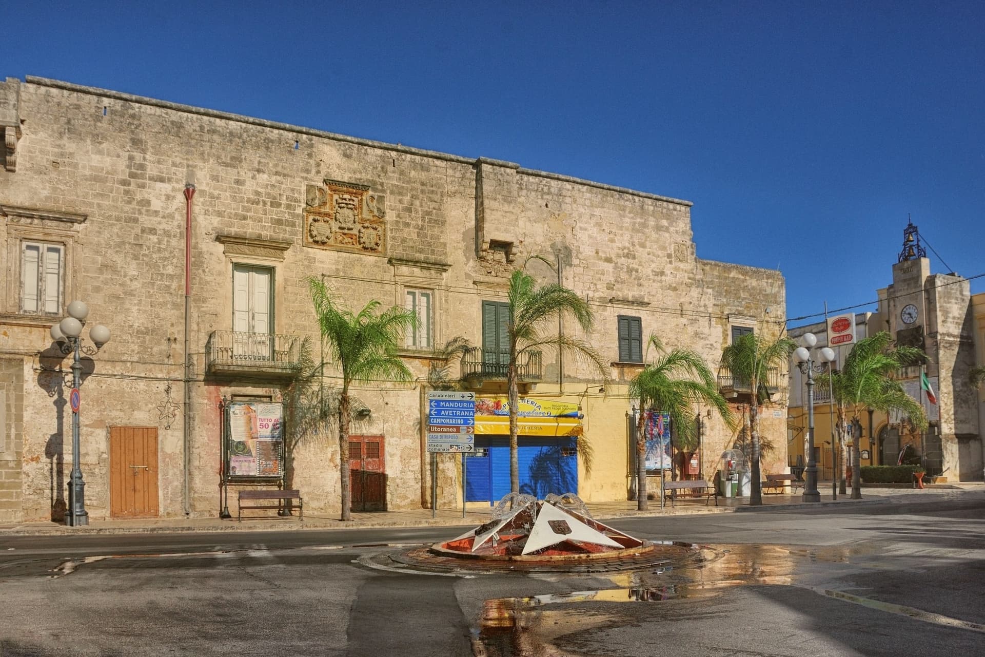 The best coastal towns within 90 minutes of Taranto7 towns, Rocca Imperiale among them.
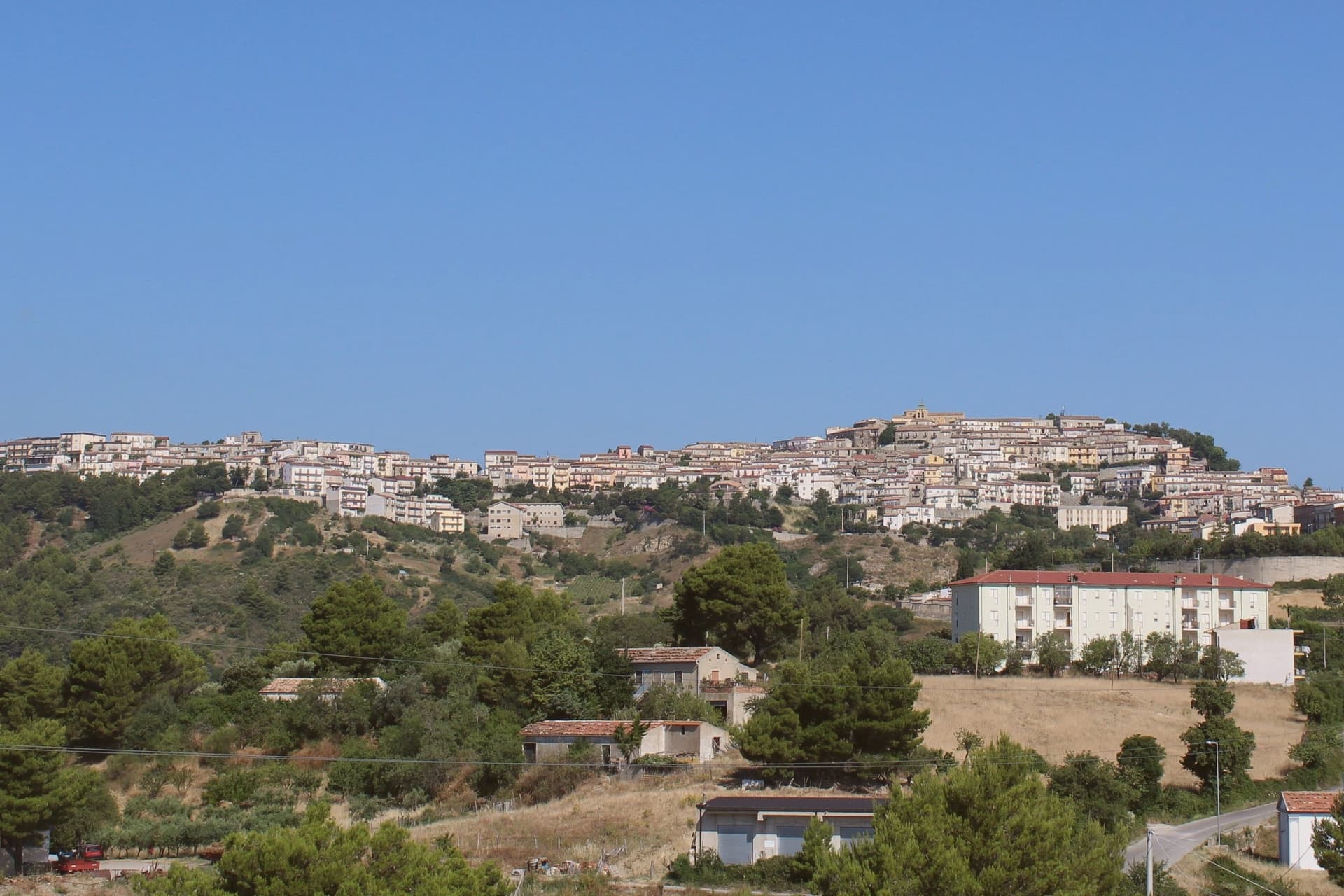 The best small towns you can reach by train in Calabria8 towns, Rocca Imperiale among them.
How to get there
From Bari / Brindisi (BRI), about 2h 8m by car.
Lamezia / Reggio (SUF) is about 2h 40m away.
By car from the centre of Bari 2 hours, Lecce 2h 41m or Salerno 3 hours.
There is a railway station in the comune, so you can arrive without a car.
Coming from Bari?
Coming by train into Taranto? Rocca Imperiale is about 1h 18m away by road.
What to see
Castello Federiciano (1225)
Frederick II Hohenstaufen's square fortress with four corner towers (two cylindrical) commanding the Ionian coastal route. Open as a cultural centre.
Centro storico (Borghi più belli)
Whitewashed houses in tight medieval vicoli cascading downhill from the castle. The Chiesa Madre dell'Assunta has a Pietro Bernini Madonna.
Rocca Imperiale Marina (Bandiera Blu)
Long sandy Ionian beach 1 km below the borgo, holding the Bandiera Blu every recent year for water clarity and beach management.
Limone di Rocca Imperiale IGP
Small acidic lemon grown only in the surrounding belt, used in liqueurs, the local pasta al limone, and the Festa del Limone in early August.
Pollino + Sila excursions
Parco Nazionale del Pollino is 30 km west (Italy's largest national park); the Sila highlands further south. Rocca is a good base for both.
The slow-trip planner
Building a trip? Find where Rocca Imperiale fits in a slow Italy circuit.
Answer five questions. We will shape a geographically coherent slow trip from the 1,000 Italian towns most travelers skip. Yours to save and share.
Living here
- Population 3,204
- Remotei
- Pharmacy: none mapped
- High school within a 30-minute drive
- Train station in the comune
- Nearest airport Bari / Brindisi, 2 h 8 min drive
- Regional capital Catanzaro, 2 h 55 min drive
Common questions
- What is Rocca Imperiale known for?
- Frederick II's Hohenstaufen fortress at the Calabria–Basilicata border, a Borgo più Bello d'Italia perched on a hill above the Ionian coast, with the castello at the summit and the locally-grown limone di Rocca Imperiale IGP scenting the orchards.
- Where is Rocca Imperiale?
- Rocca Imperiale is a comune in the province of Cosenza, in Calabria, at 210 meters above sea level.
- What is the nearest airport to Rocca Imperiale?
- Bari / Brindisi (BRI), about 2h 8m by car.
- Can you get to Rocca Imperiale without a car?
- Yes. There is a railway station in the comune, so you can arrive by train.
- How long is the drive from Bari to Rocca Imperiale?
- About 2 hours by car.
- When is the best time to visit Rocca Imperiale?
- Best in May–Jun, Sep–Oct. July is the warmest month, averaging 34 degrees, and November the wettest, with about 10 rain days.
- Which other towns are like Rocca Imperiale?
- Nova Siri, Villapiana and Roseto Capo Spulico.
- How many people live in Rocca Imperiale?
- 3,204 at the 2023 count.
Tags & datadesignations · numbers · sources
Recognised as
The numbers
- Elevation: 210 m
- Population: 3,204
- Surface area: 55.03 km²
These figures were compiled from public directories: ISTAT, OpenStreetMap and Wikidata, and from the official listings of the guides named on this page. Town details change; verify with official sources before you travel.
Similar
Towns like Rocca Imperiale
Nova Siri
Province: Matera
both on the Ionian coast · both between 3,000 and 10,000 people
Villapiana
Province: Cosenza
both on the Ionian coast · both between 3,000 and 10,000 people
Roseto Capo Spulico
Province: Cosenza
both on the Ionian coast · both hill towns
Petacciato
Province: Campobasso
both between 3,000 and 10,000 people · both hill towns
Montenero di Bisaccia
Province: Campobasso
both between 3,000 and 10,000 people · both hill towns
Cariati
Province: Cosenza
both on the Ionian coast · both between 3,000 and 10,000 people
🎨 Borghi più belli d'Italia
More Borghi più belli d'Italia towns in Calabria
Aiello Calabro
Province: Cosenza
A hilltop borgo at 502 meters in the Tyrrhenian hinterland of Cosenza, ruled for two centuries by the Cybo-Malaspina from Massa Carrara.
Aieta
Province: Cosenza
An eagle's-nest village in the western Pollino, with one of the few sixteenth-century Renaissance palazzi standing in Calabria.
Altomonte
Province: Cosenza
A hill town in the Esaro valley built around the highest Gothic-Angevin church in Calabria.
Badolato
Province: Catanzaro
A medieval borgo of thirteen churches at 240 meters above the Ionian, which took in 350 Kurdish refugees in 1997 and started its own slow rebirth.
Bova
Province: Reggio di Calabria
The capital of the Bovesìa, a 416-resident Aspromonte hilltop borgo at 820m and the cultural centre of the Grecanic minority, where the Calabrian-Greek dialect descended from Byzantine-era Greek is still spoken by elders.