
Calabria · Cosenza
Villapiana
An Ionian commune where the Sibari plain meets the first slopes rising toward Pollino.
- Best time
- May–Sep
- By car
- 2 h 31 min from Bari
- By train
- Station in the comune
- Population
- 5,457
Known for
BANDIERA BLU
Lido beach on the Gulf of Sibari holding the Bandiera Blu, the central reason for summer arrivals.
POLLINO GATEWAY
Thirty minutes inland the road climbs into Pollino National Park, the Bosnian pines and Raganello gorges within range.
SIBARI PLAIN
The town sits on the first rise above the alluvial Sibari plain, the broad coastal flat that anchors northern Calabrian agriculture.
CLEMENTINE DI CALABRIA
The commune lies inside the Clementine di Calabria IGP production zone.
When to visit
Best · May–Sep
- J12°
- F14°
- M15°
- A18°
- M23°
- J29°
- J32°
- A31°
- S27°
- O22°
- N17°
- D14°
- Best
- Hot or crowded
- Quiet
- Mostly closed
Daytime averages, 2020–2024. The sea is warmest in July at 28° and coldest in February at 15°. Weather data by Open-Meteo.com.
Why come
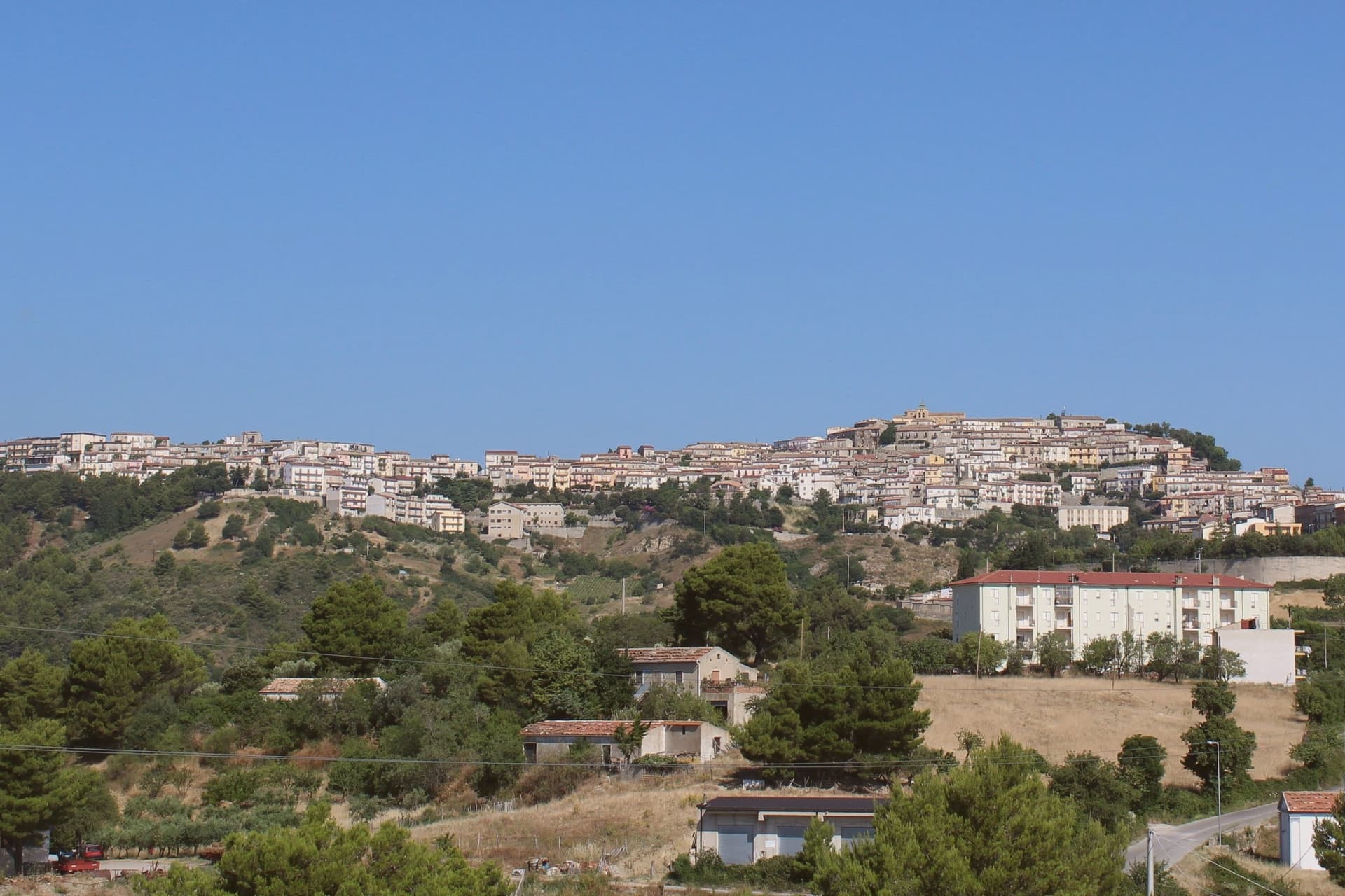
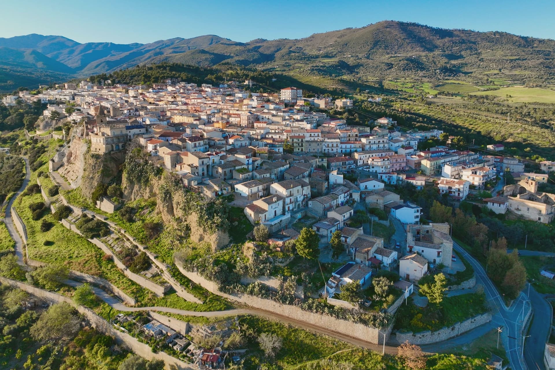
Villapiana sits at the northern corner of Cosenza province, where Calabria meets Basilicata, on the first rise above the plain. The hill that holds the historic core on the left bank of the Satanasso stream, was the original nucleus; the Lido and the Scalo stretch along the Ionian below it, so the town reads as three settlements at three elevations rather than one place. The ancient name was Leutermia, kept until the ninth century, when Saracen raids destroyed the settlement and the survivors rebuilt inland as Casalnuovo.
The town took its present name only in 1863. The Jonica railway runs the coast through the Lido and through Villapiana-Torre Cerchiara, the two municipal stations, tying the lower town to the rail line while the old hill core stays apart from it. The territory also holds a Spighe Verdi recognition, alongside its coastal award. What the geography adds up to is a town split lengthwise between an inland hill remembered for a destruction and rebuilding, and a coastal strip that only became legible once the railway and the beach gave it a reason to exist.
The Sunday letter
Villapiana is on our list. Its letter is still to come.
We are writing about all 1,000 of these towns, one at a time, in a free letter every Sunday: the photo, the food, the festa. That is our mission. Sign up and you will be there when Villapiana comes up. By Peter & Sophia, from Pietrasanta.
Read on
Villapiana in our articles
 The best hidden beach towns you can reach by train in the province of Cosenza6 towns, Villapiana among them.
 The best hidden towns you can reach by train in the province of Cosenza9 towns, Villapiana among them.
 The best hidden beach towns in Calabria10 towns, Villapiana among them.
 Alternatives to Positano: every coastal town in Campania and Calabria that is not on the postcard34 towns, Villapiana among them.
How to get there
From Lamezia / Reggio (SUF), about 2 hours by car.
Bari / Brindisi (BRI) is about 2h 37m away.
By car from the centre of Bari 2h 31m, Salerno 2h 47m or Lecce 3h 9m.
There is a railway station in the comune, so you can arrive without a car.
What to see
Villapiana Lido
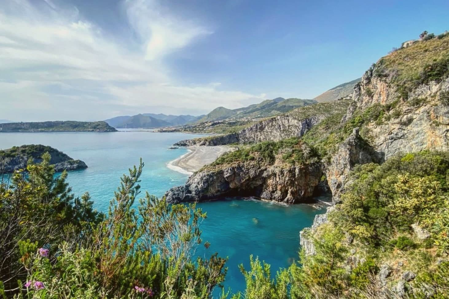
Bandiera Blu beach on the Gulf of Sibari, wide sandy shore facing the Ionian with the Pollino peaks behind it.
Chiesa di Santa Maria del Piano
Hilltop church marking the original settlement, its terrace giving a panoramic view over the coast below.
Villapiana Centro
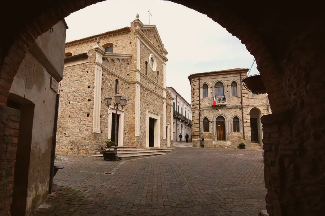
Historic core on the left bank of the Satanasso stream, built up after Saracen raids forced the earlier population to resettle inland from the coast.
Approccio al Pollino
Half-hour inland the road climbs into Pollino National Park, the Bosnian-pine forests and Raganello gorges within day-trip range.
The slow-trip planner
Building a trip? Find where Villapiana fits in a slow Italy circuit.
Answer five questions. We will shape a geographically coherent slow trip from the 1,000 Italian towns most travelers skip. Yours to save and share.
Living here
- Population 5,457
- In-betweeni
- Pharmacy in town
- High school within a 30-minute drive
- Train station in the comune
- Nearest airport Lamezia / Reggio, 2 h 2 min drive
- Regional capital Catanzaro, 2 h 17 min drive
Common questions
- What is Villapiana known for?
- Villapiana is an Ionian commune where the Sibari plain meets the first slopes rising toward Pollino.
- Where is Villapiana?
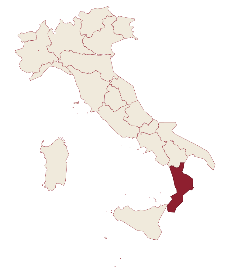
- Villapiana is a comune in the province of Cosenza, in Calabria, at 206 meters above sea level.
- What is the nearest airport to Villapiana?
- Lamezia / Reggio (SUF), about 2 hours by car.
- Can you get to Villapiana without a car?
- Yes. There is a railway station in the comune, so you can arrive by train.
- How long is the drive from Bari to Villapiana?
- About 2h 31m by car.
- When is the best time to visit Villapiana?
- Best in May–Sep. July is the warmest month, averaging 32 degrees, and November the wettest, with about 13 rain days.
- Which other towns are like Villapiana?
- Rocca Imperiale, Trebisacce and Soverato.
- How many people live in Villapiana?
- 5,457 at the 2023 count.
Tags & datadesignations · numbers · sources
Recognised as
The numbers
- Elevation: 206 m
- Population: 5,457
- Surface area: 39.73 km²
These figures were compiled from public directories: ISTAT, OpenStreetMap and Wikidata, and from the official listings of the guides named on this page. Town details change; verify with official sources before you travel.
Similar
Towns like Villapiana
Rocca Imperiale
Province: Cosenza
both on the Ionian coast · both between 3,000 and 10,000 people
Trebisacce
Province: Cosenza
both on the Ionian coast · both between 3,000 and 10,000 people
Soverato
Province: Catanzaro
both on the Ionian coast · both between 3,000 and 10,000 people
Nova Siri
Province: Matera
both on the Ionian coast · both between 3,000 and 10,000 people
Cariati
Province: Cosenza
both on the Ionian coast · both between 3,000 and 10,000 people
Acqualagna
Province: Pesaro e Urbino
both between 3,000 and 10,000 people · both hill towns
🟦 Bandiera Blu
More Bandiera Blu towns in Calabria
Cariati
Province: Cosenza
A walled Ionian fishing town on the Saracen Coast, its ramparts among the most intact in southern Italy.
Corigliano-Rossano
Province: Cosenza
The Sibari plain city merged in 2018 from two older towns, one built around a Norman castle and the other around a Byzantine manuscript tradition.
Isola di Capo Rizzuto
Province: Crotone
A promontory on the Ionian coast wrapped by Italy's largest marine reserve, with an Aragonese castle standing on a rock offshore.
Parghelia
Province: Vibo Valentia
A 1,300-person village on the Costa degli Dei at 70 meters, four kilometers from Tropea and quieter than its famous neighbour.
Praia a Mare
Province: Cosenza
A Tyrrhenian beach town in the Gulf of Policastro, backed by mountains and facing an offshore island.