
Calabria · Cosenza
Cariati
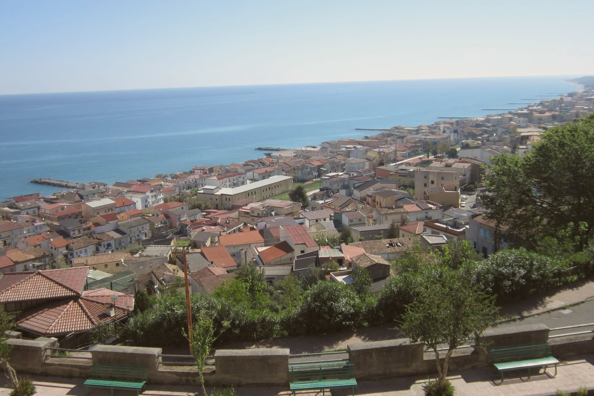
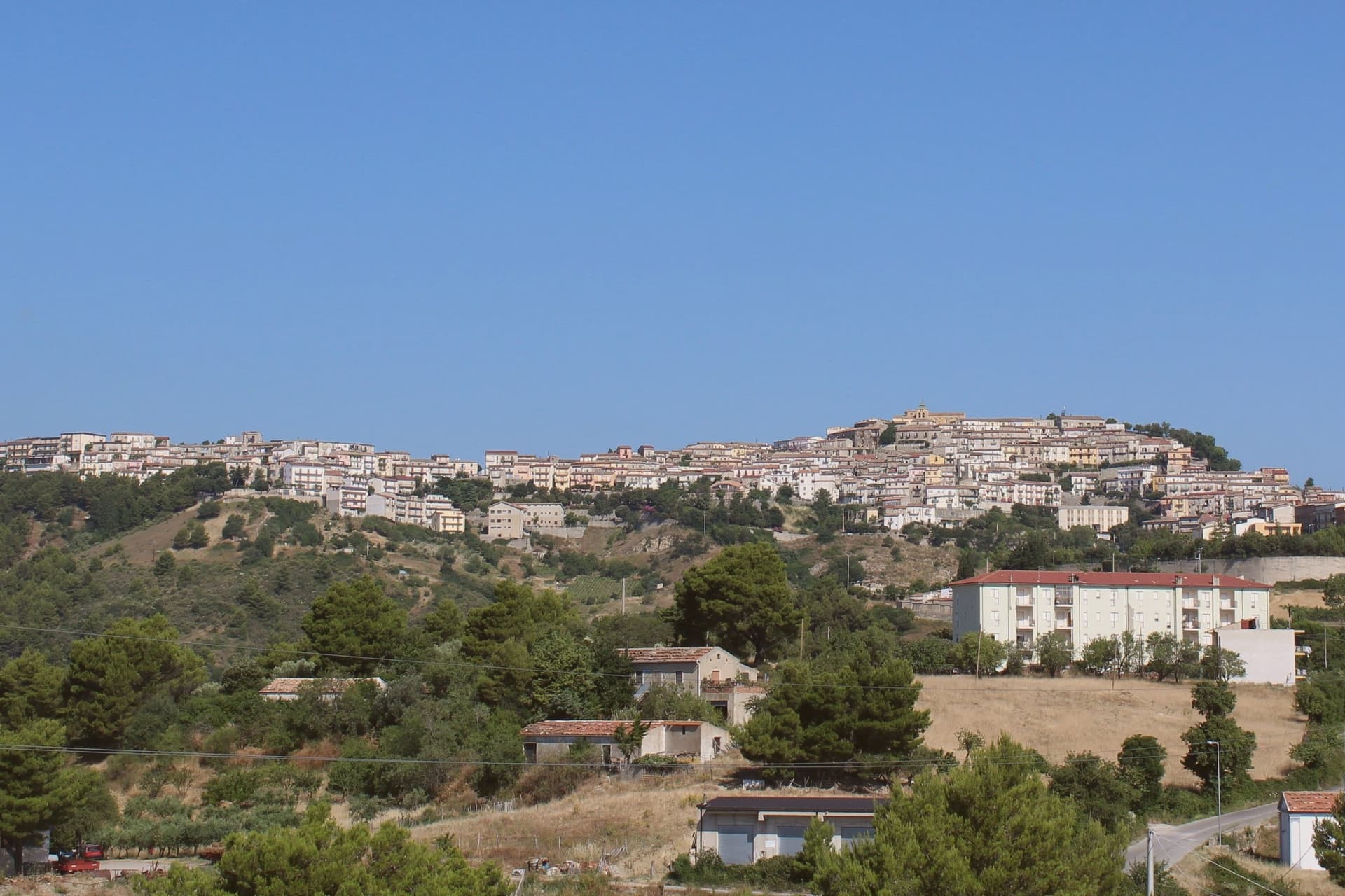
A walled Ionian fishing town on the Saracen Coast, its ramparts among the most intact in southern Italy.
- Best time
- May–Sep
- By car
- 3 h 30 min from Salerno
- By train
- Station in the comune
- Population
- 7,478
Known for
MEDIEVAL WALLS
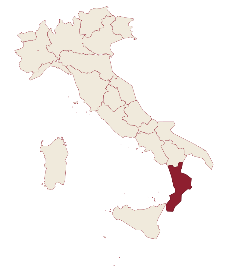
Kilometer-long city wall with eight towers and Porta Pia, among the most intact medieval fortifications in southern Italy.
PESCE AZZURRO
The summer Sagra del Pesce Azzurro celebrates the working fleet, with anchovies and sardines grilled along the lungomare.
SARACEN COAST
Bandiera Blu beach on the Costa dei Saraceni, the central stretch of the northern Calabrian Ionian shore.
PROTECTED PRODUCTS
The commune lies inside the Pecorino Crotonese DOP and Clementine di Calabria IGP production zones.
When to visit
Best · May–Sep
- J14°
- F15°
- M16°
- A19°
- M24°
- J30°
- J33°
- A32°
- S28°
- O23°
- N19°
- D15°
- Best
- Hot or crowded
- Quiet
- Mostly closed
Daytime averages, 2020–2024. The sea is warmest in August at 28° and coldest in February at 15°. Weather data by Open-Meteo.com.
The festa: Leonardo di Noblac, 6 November
Why come
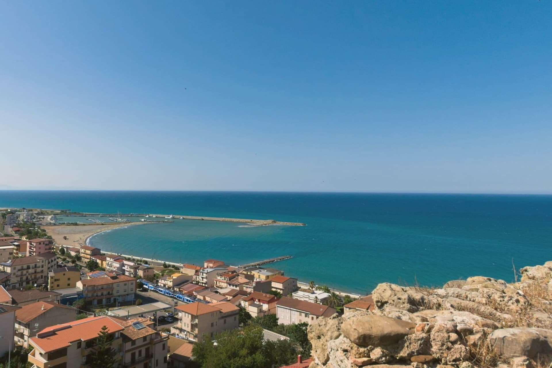
Cariati stretches along the Ionian coast of northern Calabria, sixty-five kilometers east of Cosenza, split between the hill town above the sea and the marina below. The Bretti settled the territory in the fourth and third centuries BC and a Roman foundation called Paternum followed. Saracen raids and malaria forced the inhabitants up the hill in the early Middle Ages, where the present town took shape under Byzantine fortification: the wall that still rings the upper settlement dates from this period of retreat.
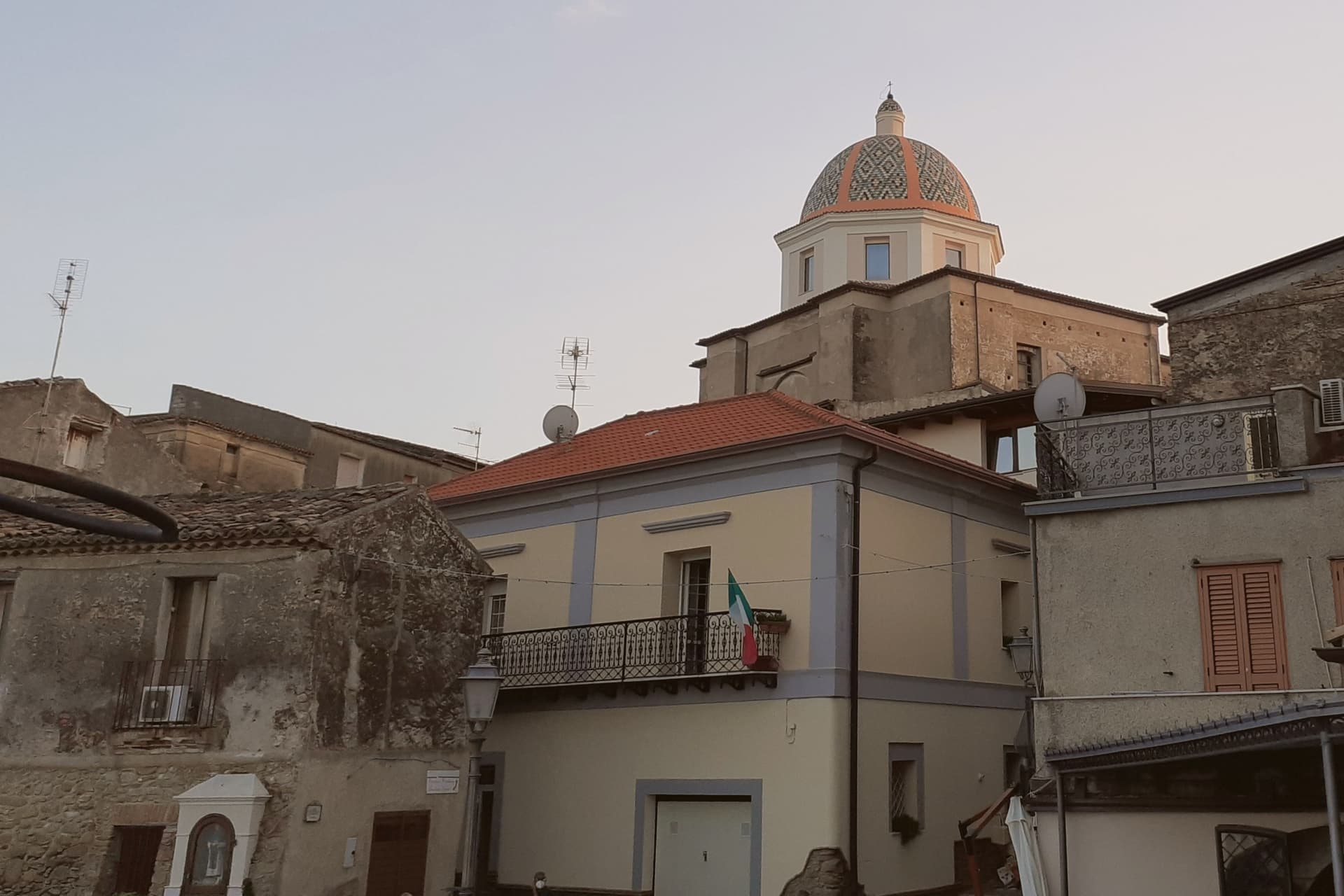
The cathedral sits inside those walls, a medieval foundation carried forward in a nineteenth-century neoclassical rebuilding, its dome visible from the road along the coast. Below, the marina holds the beach and the harbor, its territory also recognized with a Spighe Verdi designation, and in summer the working fleet's catch is grilled the length of the lungomare during the Sagra del Pesce Azzurro. The town's shape, an upper refuge and a lower shore settlement, still reads as the direct outcome of that flight from raiders and fever centuries ago.
The Sunday letter
Cariati is on our list. Its letter is still to come.
We are writing about all 1,000 of these towns, one at a time, in a free letter every Sunday: the photo, the food, the festa. That is our mission. Sign up and you will be there when Cariati comes up. By Peter & Sophia, from Pietrasanta.
Read on
Cariati in our articles
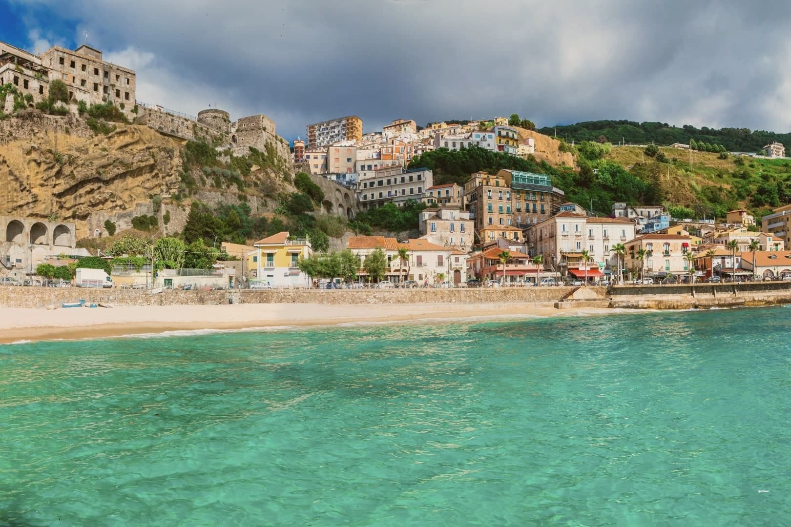
 The best hidden beach towns you can reach by train in the province of Cosenza6 towns, Cariati among them.
 The best hidden towns you can reach by train in the province of Cosenza9 towns, Cariati among them.
 The best hidden beach towns in Calabria10 towns, Cariati among them.
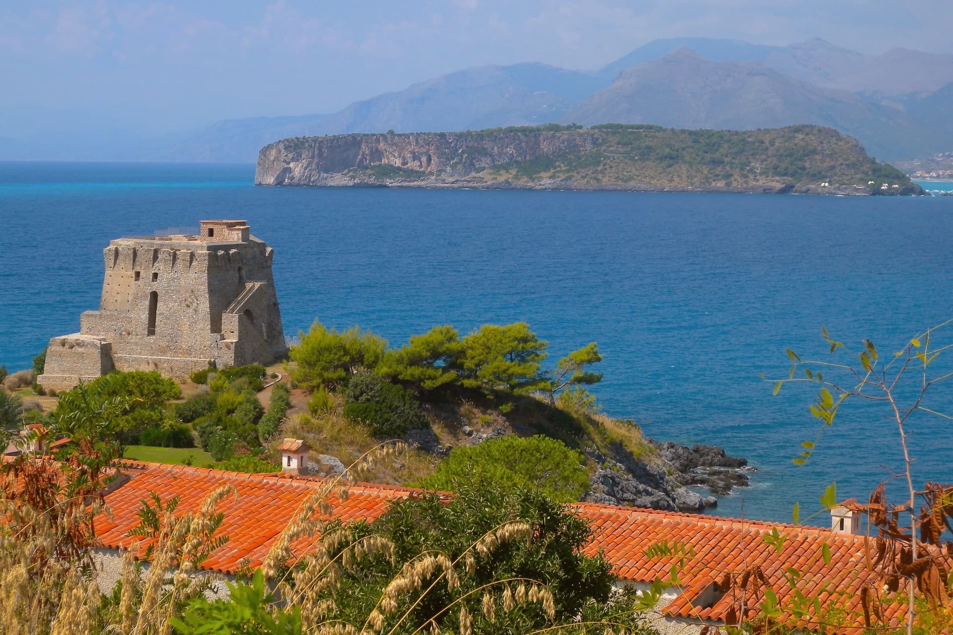 Alternatives to Positano: every coastal town in Campania and Calabria that is not on the postcard34 towns, Cariati among them.
How to get there
From Lamezia / Reggio (SUF), about 2h 37m by car.
Bari / Brindisi (BRI) is about 3h 41m away.
By car from the centre of Salerno 3h 30m, Bari 3h 35m or Naples 4h 13m.
There is a railway station in the comune, so you can arrive without a car.
What to see
Mura medievali
Eight massive towers punctuate the circuit, its stone faces worn but continuous, and Porta Pia still stands as the principal gate into the upper town.
Cattedrale di San Michele Arcangelo
Medieval foundation rebuilt in the nineteenth century in neoclassical style, with a painted majolica dome visible from the coast road.
Cariati Superiore
The walled medieval town on the hill above the sea, the original settlement that grew after the abandonment of the Roman Paternum.
Cariati Marina
Sandy Ionian beach holding the Bandiera Blu, with a wide lungomare and the working fishing harbor at its center.
The slow-trip planner
Building a trip? Find where Cariati fits in a slow Italy circuit.
Answer five questions. We will shape a geographically coherent slow trip from the 1,000 Italian towns most travelers skip. Yours to save and share.
Living here
- Population 7,478
- Remotei
- Pharmacy: none mapped
- High school within a 30-minute drive
- Train station in the comune
- Nearest airport Lamezia / Reggio, 2 h 37 min drive
- Regional capital Catanzaro, 2 h 7 min drive
Common questions
- What is Cariati known for?
- Cariati is a walled Ionian fishing town on the Saracen Coast, its ramparts among the most intact in southern Italy.
- Where is Cariati?
- Cariati is a comune in the province of Cosenza, in Calabria, at 76 meters above sea level.
- What is the nearest airport to Cariati?
- Lamezia / Reggio (SUF), about 2h 37m by car.
- Can you get to Cariati without a car?
- Yes. There is a railway station in the comune, so you can arrive by train.
- How long is the drive from Salerno to Cariati?
- About 3h 30m by car.
- When is the best time to visit Cariati?
- Best in May–Sep. July is the warmest month, averaging 33 degrees, and November the wettest, with about 14 rain days.
- Is there a sagra or a festival in Cariati?
- The town keeps its patron saint's day: Leonardo di Noblac, 6 November.
- Which other towns are like Cariati?
- Trebisacce, Soverato and Maruggio.
- How many people live in Cariati?
- 7,478 at the 2023 count.
Tags & datadesignations · numbers · sources
Recognised as
The numbers
- Elevation: 76 m
- Population: 7,478
- Surface area: 28.82 km²
These figures were compiled from public directories: ISTAT, OpenStreetMap and Wikidata, and from the official listings of the guides named on this page. Town details change; verify with official sources before you travel.
Similar
Towns like Cariati
Trebisacce
Province: Cosenza
both on the Ionian coast · both between 3,000 and 10,000 people
Soverato
Province: Catanzaro
both on the Ionian coast · both between 3,000 and 10,000 people
Maruggio
Province: Taranto
both on the Ionian coast · both between 3,000 and 10,000 people
Rocca Imperiale
Province: Cosenza
both on the Ionian coast · both between 3,000 and 10,000 people
Nova Siri
Province: Matera
both on the Ionian coast · both between 3,000 and 10,000 people
Castagneto Carducci
Province: Livorno
both between 3,000 and 10,000 people · both near sea level
🟦 Bandiera Blu
More Bandiera Blu towns in Calabria
Corigliano-Rossano
Province: Cosenza
The Sibari plain city merged in 2018 from two older towns, one built around a Norman castle and the other around a Byzantine manuscript tradition.
Isola di Capo Rizzuto
Province: Crotone
A promontory on the Ionian coast wrapped by Italy's largest marine reserve, with an Aragonese castle standing on a rock offshore.
Parghelia
Province: Vibo Valentia
A 1,300-person village on the Costa degli Dei at 70 meters, four kilometers from Tropea and quieter than its famous neighbour.
Praia a Mare
Province: Cosenza
A Tyrrhenian beach town in the Gulf of Policastro, backed by mountains and facing an offshore island.
Rocca Imperiale
Province: Cosenza
Frederick II's Hohenstaufen fortress at the Calabria–Basilicata border, a Borgo più Bello d'Italia perched on a hill above the Ionian coast, with the castello at the summit and the locally-grown limone di Rocca Imperiale IGP scenting the orchards.