
Basilicata · Potenza
Pietrapertosa
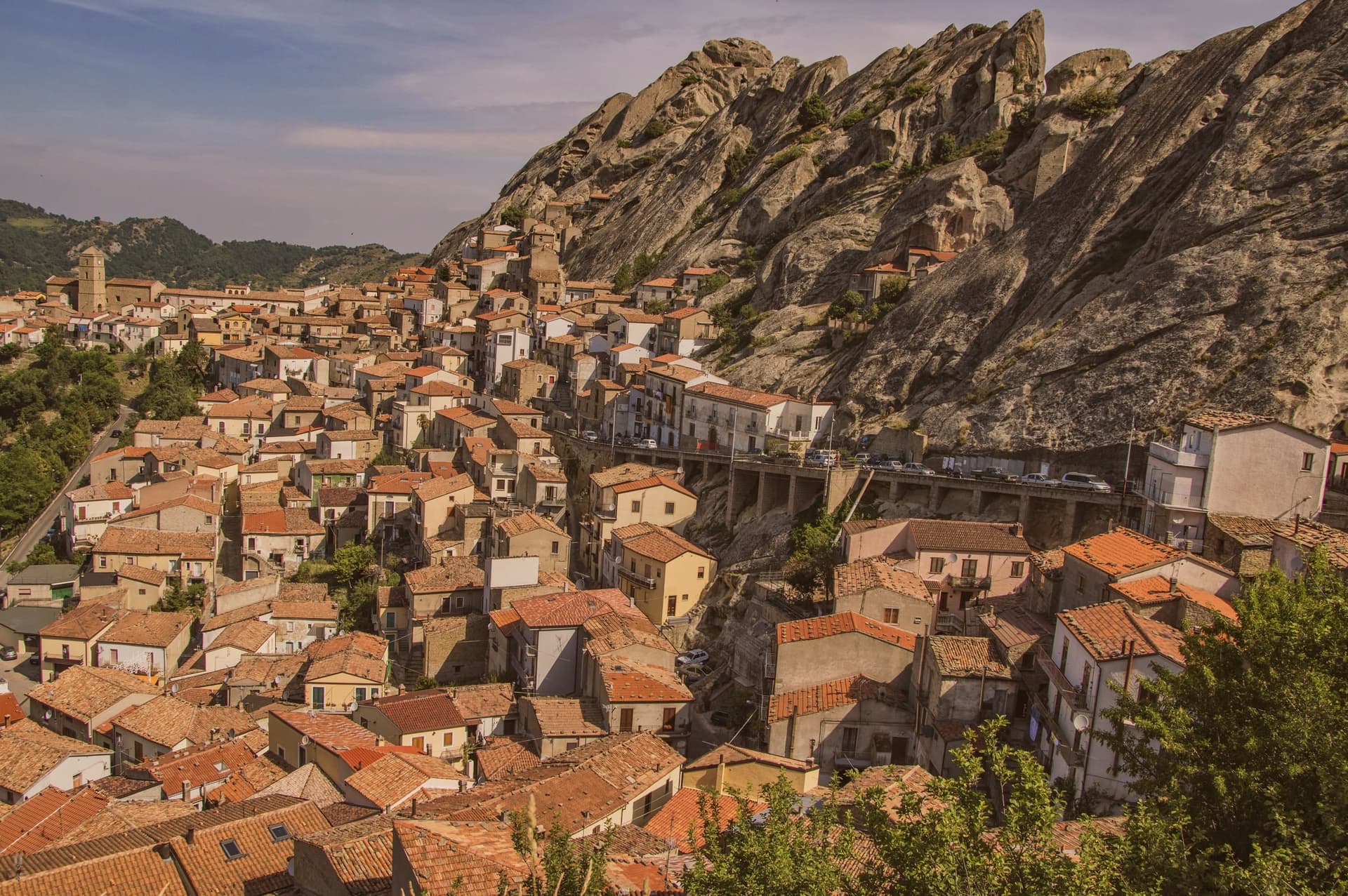
Basilicata's highest commune at 1,088 meters, built into the Lucanian Dolomites with a Saracen rock-cut fortress and a 1,400-meter zipline to Castelmezzano.
- Best time
- Jun–Sep, Dec–Mar
- By car
- 2 h 6 min from Salerno
- Population
- 890
Known for
DOLOMITI LUCANE
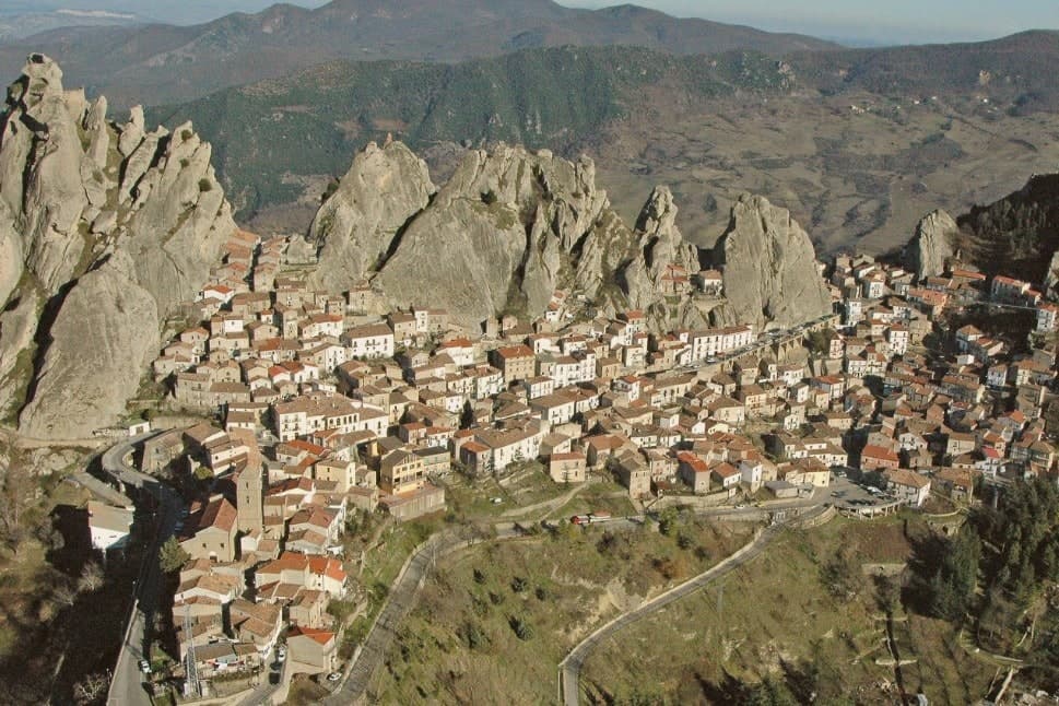
Sandstone teeth of the Piccole Dolomiti Lucane, in which the village is built; the highest commune in Basilicata at 1,088 meters.
ARABATA
Upper quarter and fortress carved into rock, named for the tenth-century Saracen band under Luca, the Greek convert to Islam.
VOLO DELL'ANGELO
Zipline linking Pietrapertosa to Castelmezzano across the gorge, two lines over 1,400 meters long, reaching 120 km/h.
CANESTRATO DI MOLITERNO
The commune lies inside the Canestrato di Moliterno IGP production zone.
When to visit
Best · Jun–Sep, Dec–Mar
- J7°
- F9°
- M9°
- A13°
- M18°
- J24°
- J28°
- A27°
- S22°
- O18°
- N12°
- D8°
- Best
- Hot or crowded
- Quiet
- Mostly closed
Daytime averages, 2020–2024. Weather data by Open-Meteo.com.
The festa: Giacomo il Maggiore, 25 July
Why come
Pietrapertosa sits at 1,088 meters, the highest commune in Basilicata, built directly into the sandstone teeth of the Piccole Dolomiti Lucane inside the Parco Regionale Gallipoli Cognato. The village is so wedded to the rock that several houses share a wall with the cliff. In the tenth century the fortified settlement was taken by a Saracen band led by a Greek convert to Islam named Luca, who used it as a raiding base across the surrounding valleys until the Catapan of Byzantium pushed him out.
The Arabata quarter, the warren of stone houses at the top of the village, still carries his name. The Castello Saraceno, partly cut into living rock, was later rebuilt by the Normans and Swabians. Pietrapertosa shares its setting with Castelmezzano on the opposite ridge, seven kilometers away, and the two villages are linked by the Volo dell'Angelo, a steel cable that carries passengers between them at speeds touching 120 kilometers per hour. The Chiesa di San Giacomo Maggiore in the centro preserves its fifteenth-century Romanesque structure.
The Sunday letter
Pietrapertosa is on our list. Its letter is still to come.
We are writing about all 1,000 of these towns, one at a time, in a free letter every Sunday: the photo, the food, the festa. That is our mission. Sign up and you will be there when Pietrapertosa comes up. By Peter & Sophia, from Pietrasanta.
Read on
Pietrapertosa in our articles
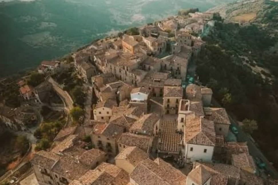
 The best towns inside a nature park in Basilicata6 towns, Pietrapertosa among them.
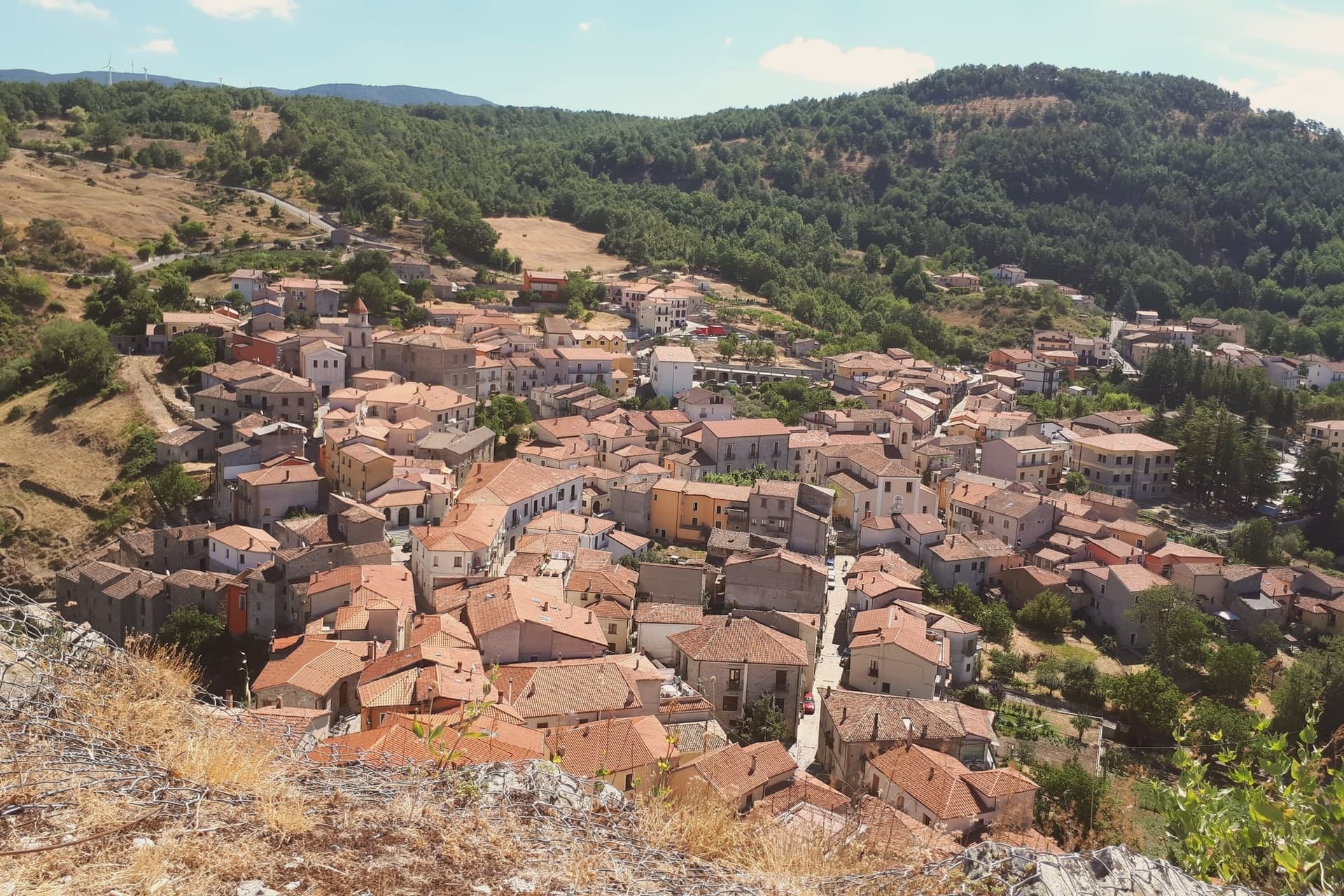
 The 7 prettiest villages in the province of Potenza7 towns, Pietrapertosa among them.
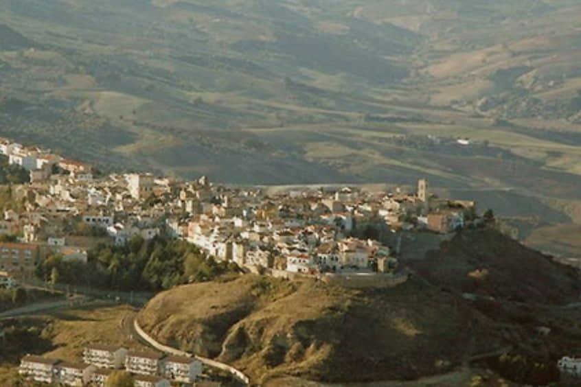
 The best high-altitude villages in the province of Potenza7 towns, Pietrapertosa among them.
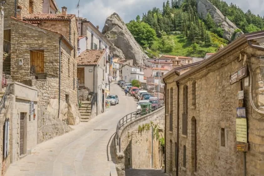
 The best towns with a food festival in Basilicata7 towns, Pietrapertosa among them.
How to get there
From Bari / Brindisi (BRI), about 2h 29m by car.
Naples / Salerno (NAP) is about 2h 50m away.
By car from the centre of Salerno 2 hours, Bari 2h 32m or Naples 2h 50m.
What to see
Castello Saraceno
Fortress cut into the sandstone of the Lucanian Dolomites, used by Saracens under Luca in the tenth century, rebuilt by the Normans.
Rione Arabata
Upper quarter of stone houses tucked into the rock, named for the tenth-century Saracen occupation, the oldest section of the village.
Chiesa di San Giacomo Maggiore
Fifteenth-century mother church in the centro of Pietrapertosa, the main parish of the village, with a well-preserved Romanesque structure.
Dolomiti Lucane
Sandstone peaks reaching 1,455 meters, the geological signature of the village and the eastern edge of the Gallipoli Cognato park.
Volo dell'Angelo
Steel-cable zipline between Pietrapertosa and Castelmezzano, two lines, 1,415 and 1,452 meters long, at speeds up to 120 km/h.
Parco Regionale Gallipoli Cognato
Regional park covering the Lucanian Dolomites and the forest extending east to Accettura, with hiking trails on the ridges above the village.
The slow-trip planner
Building a trip? Find where Pietrapertosa fits in a slow Italy circuit.
Answer five questions. We will shape a geographically coherent slow trip from the 1,000 Italian towns most travelers skip. Yours to save and share.
Through the year
What happens here
Feasts and festivals that come back year after year. We give the month rather than the date, because the date moves and the month rarely does. Check with the source before you plan a journey around one.
Sapori D'autunnofood festival
usually held across October and November. eventiesagre.it
Living here
- Population 890
- Remotei
- Pharmacy: none mapped
- Nearest high school over ~30 minutes away
- Nearest airport Bari / Brindisi, 2 h 29 min drive
- Regional capital Potenza, 59 min drive
Common questions
- What is Pietrapertosa known for?
- Basilicata's highest commune at 1,088 meters, built into the Lucanian Dolomites with a Saracen rock-cut fortress and a 1,400-meter zipline to Castelmezzano.
- Where is Pietrapertosa?
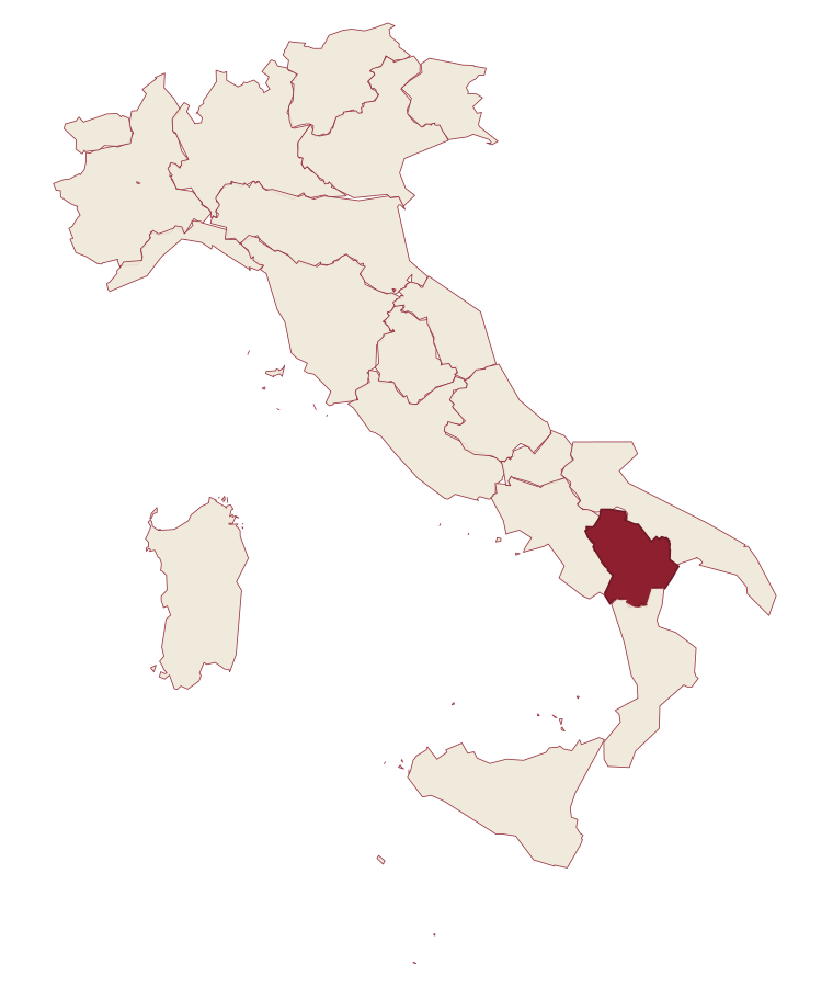
- Pietrapertosa is a comune in the province of Potenza, in Basilicata, at 1088 meters above sea level.
- What is the nearest airport to Pietrapertosa?
- Bari / Brindisi (BRI), about 2h 29m by car.
- How long is the drive from Salerno to Pietrapertosa?
- About 2 hours by car.
- When is the best time to visit Pietrapertosa?
- Best in Jun–Sep, Dec–Mar. July is the warmest month, averaging 28 degrees, and May the wettest, with about 13 rain days.
- Is there a sagra or a festival in Pietrapertosa?
- Yes. Sapori D'autunno. October is when the first of them falls.
- Which other towns are like Pietrapertosa?
- Campo di Giove, Fenestrelle and Gressoney-Saint-Jean.
- How many people live in Pietrapertosa?
- 890 at the 2023 count.
Tags & datadesignations · numbers · sources
Recognised as
The numbers
- Elevation: 1088 m
- Population: 890
- Surface area: 67.7 km²
These figures were compiled from public directories: ISTAT, OpenStreetMap and Wikidata, and from the official listings of the guides named on this page. Town details change; verify with official sources before you travel.
Similar
Towns like Pietrapertosa
Campo di Giove
Province: L'Aquila
both high in the mountains · both under 1,000 people
Fenestrelle
Province: Torino
both high in the mountains · both under 1,000 people
Gressoney-Saint-Jean
Province: Aosta Valley
both high in the mountains · both under 1,000 people
La Thuile
Province: Aosta Valley
both high in the mountains · both under 1,000 people
Macugnaga
Province: Verbano-Cusio-Ossola
both high in the mountains · both under 1,000 people
Castel del Monte
Province: L'Aquila
both high in the mountains · both under 1,000 people
🎨 Borghi più belli d'Italia
More Borghi più belli d'Italia towns in Basilicata
Acerenza
Province: Potenza
A walled ridge town at 833 meters in the north Lucanian hills, archbishopric since 1068 under a Romanesque cathedral begun in 1080.
Castelmezzano
Province: Potenza
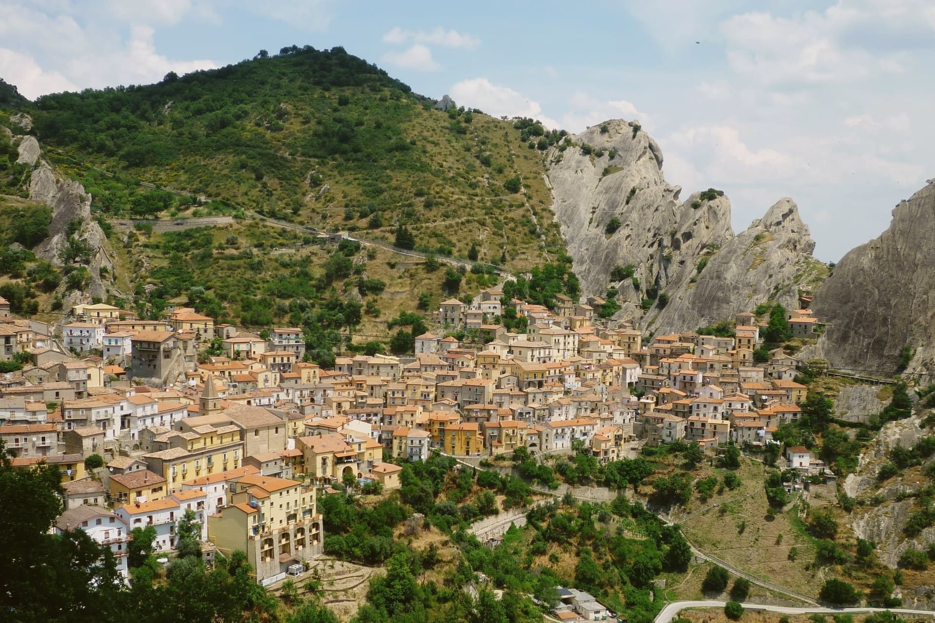
A medieval village wedged into sandstone teeth at 750 meters, linked to Pietrapertosa by a 1,452-meter zipline since 2007.
Guardia Perticara
Province: Potenza
The stone village at 678 meters above the Sauro valley, rebuilt block by block in Gorgoglione sandstone after the 1980 earthquake.
Irsina
Province: Matera
A 548-meter Bradano-valley hill town, called Montepeloso until 1895, whose cathedral holds a Renaissance rarity.
Maratea
Province: Potenza
Basilicata's only commune on the Tyrrhenian, thirty-two kilometers of rocky coast overlooked by a marble Christ raised inland in 1965.