
Abruzzo · L'Aquila
Civita d'Antino
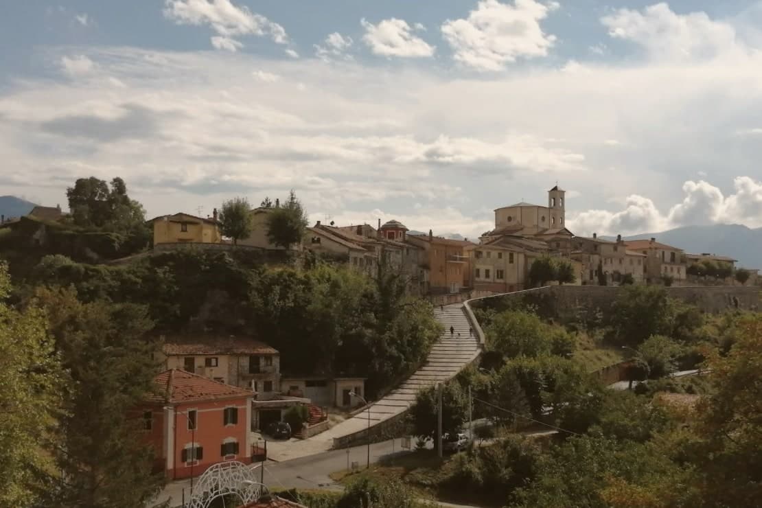
At 904 meters above the Roveto valley, the ancient Marsi town that became a Danish painters' colony from 1883 until the 1915 earthquake.
- Best time
- May–Oct
- By car
- 1 h 40 min from Rome
- By train
- Station in the comune
- Population
- 913
Known for
DANISH COLONY
Summer school of Kristian Zahrtmann from 1883 to 1911, drawing some 80 Scandinavian painters including P.S. Krøyer.
ANTINUM
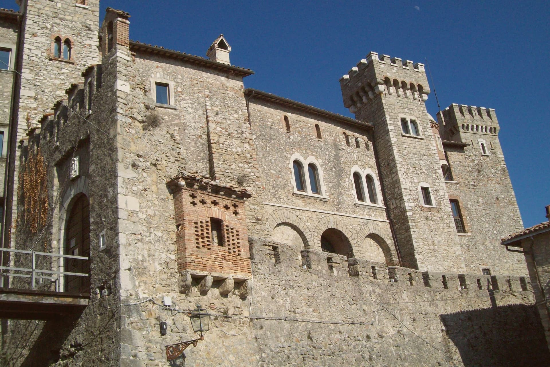
Ancient Marsi municipal town named by Pliny, with inscriptions still visible in the walls of the modern village.
1915 EARTHQUAKE
Marsica quake of 13 January 1915 broke the painters' colony and the 30-year link with Scandinavia.
When to visit
Best · May–Oct
- J7°
- F10°
- M11°
- A14°
- M19°
- J25°
- J29°
- A28°
- S23°
- O18°
- N12°
- D9°
- Best
- Hot or crowded
- Quiet
- Mostly closed
Daytime averages, 2020–2024. Weather data by Open-Meteo.com.
Why come
The plateau at 904 meters sits above the Roveto valley with the Liri running below it, and the natural rock barrier that rings the village is the same wall that once enclosed the Marsi town whose Latin name, Antinum, Pliny recorded. The inscriptions built into the modern walls are the physical continuity between the ancient settlement and the village that stands on it now: one place, occupied and rebuilt on itself for centuries rather than abandoned and resettled elsewhere.
The Scandinavian colony that formed here from 1883 was not incidental to the setting. The painters came for the light over the valley and stayed because the plateau offered the same view, session after session, for thirty years. The painter behind the colony had been noticed by Gabriele D'Annunzio at his school in Venice in 1895, a decade into its run. The 1915 Marsica earthquake ended it in a single day. What is left is a village whose Roman fragments and painters' colony both depend on the same geography: a defensible height above a valley, isolated enough to hold a community, whether Marsi or Danish, for as long as circumstance allowed.
The Sunday letter
Civita d'Antino is on our list. Its letter is still to come.
We are writing about all 1,000 of these towns, one at a time, in a free letter every Sunday: the photo, the food, the festa. That is our mission. Sign up and you will be there when Civita d'Antino comes up. By Peter & Sophia, from Pietrasanta.
Read on
Civita d'Antino in our articles
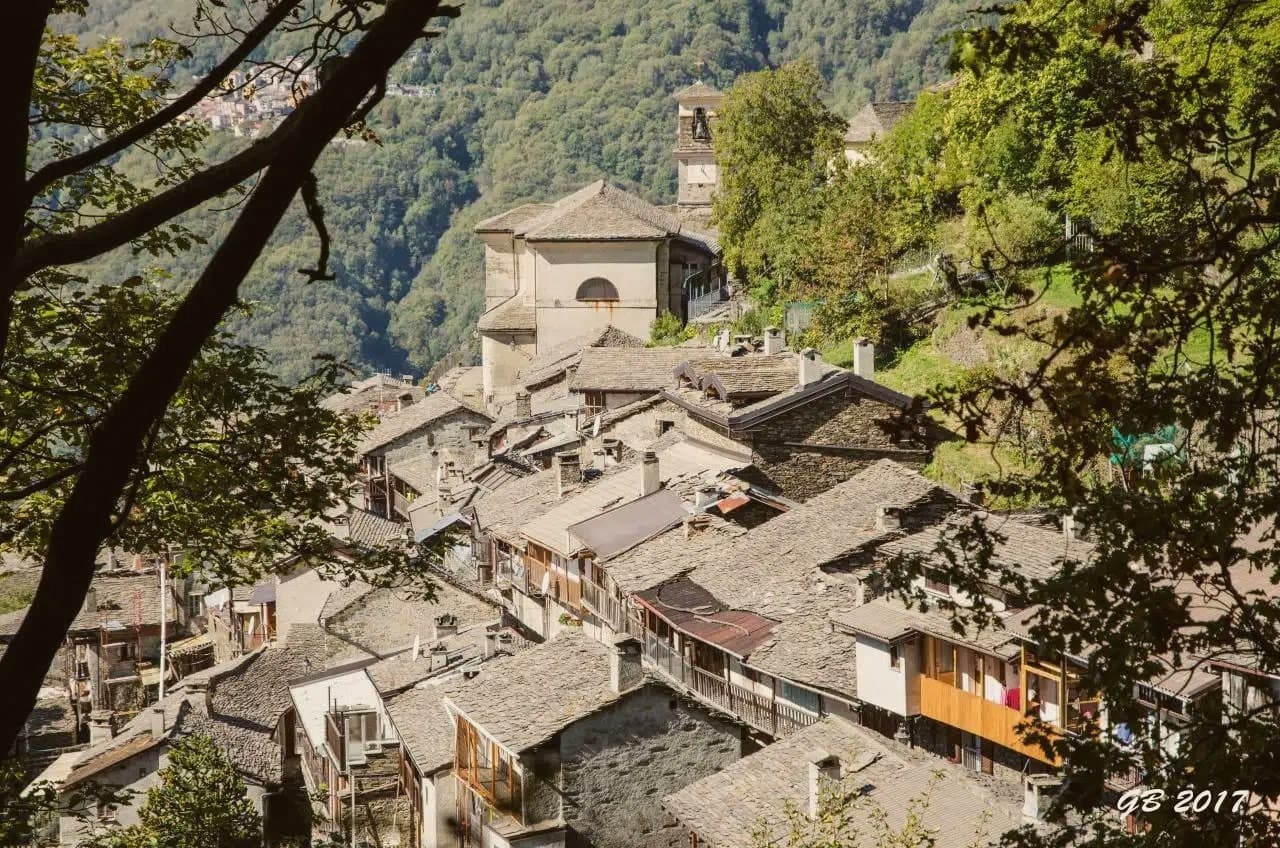
 The towns above 800 meters within two hours of Rome5 towns, Civita d'Antino among them.
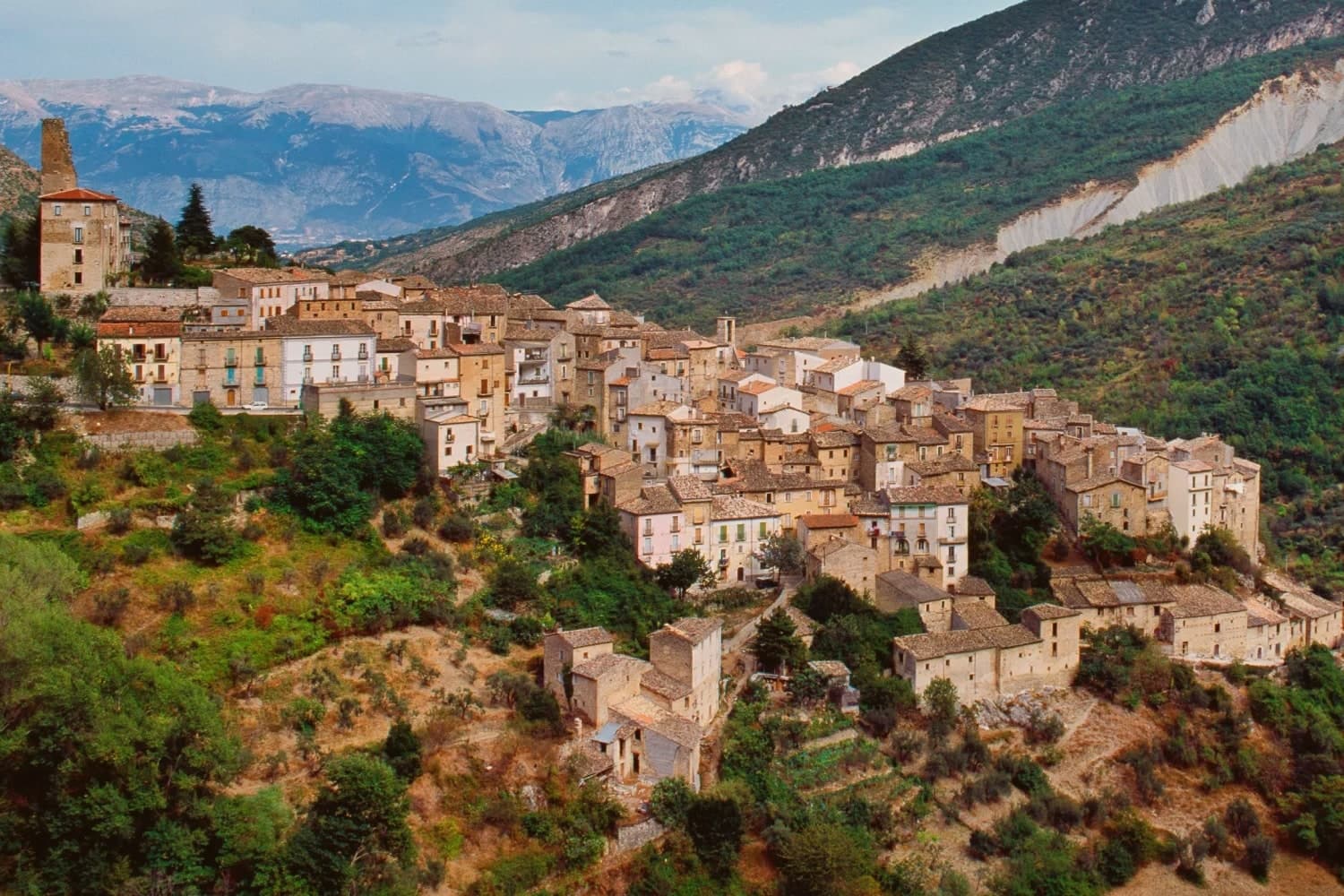
 The towns under 1,000 people, above 500 meters, with a train station7 towns, Civita d'Antino among them.
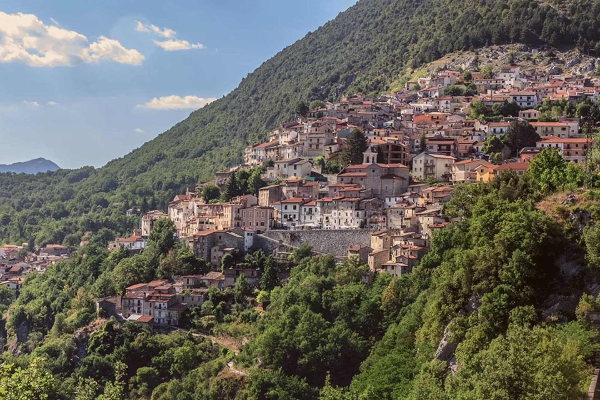
 The 9 best small mountain towns you can reach by train in the province of L'Aquila9 towns, Civita d'Antino among them.
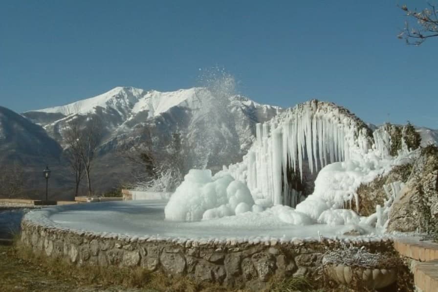
 10 comuni exactly between Rome and Naples10 towns, Civita d'Antino among them.
What to see
Centro storico
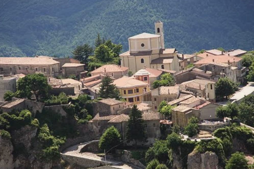
Stone village on a plateau at 904 meters, ringed by a natural rock barrier that has survived into the present.
Casa-museo Zahrtmann
Cerroni family house where Kristian Zahrtmann lodged every summer from 1883 to 1911, now a memorial museum to the painters' colony. Zahrtmann was made an honorary citizen in 1902, and in 1908 held a Copenhagen exhibition marking 25 years of the connection.
Resti di Antinum
Roman-era inscriptions and fragments of the ancient Marsi municipal town, scattered through the modern village walls.
Belvedere sulla Valle Roveto
Plateau-edge viewpoint over the Liri valley, the precise vantage that drew the painters and held them for thirty years.
The slow-trip planner
Building a trip? Find where Civita d'Antino fits in a slow Italy circuit.
Answer five questions. We will shape a geographically coherent slow trip from the 1,000 Italian towns most travelers skip. Yours to save and share.
Living here
- Population 913
- In-betweeni
- Pharmacy: none mapped
- Nearest high school over ~30 minutes away
- Train station in the comune
- Nearest airport Naples / Salerno, 2 h 9 min drive
- Regional capital L'Aquila, 1 h 4 min drive
Common questions
- What is Civita d'Antino known for?
- At 904 meters above the Roveto valley, the ancient Marsi town that became a Danish painters' colony from 1883 until the 1915 earthquake.
- Where is Civita d'Antino?
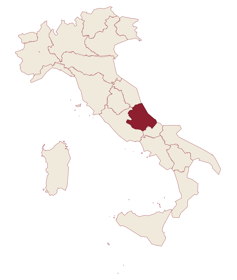
- Civita d'Antino is a comune in the province of L'Aquila, in Abruzzo.
- What is the nearest airport to Civita d'Antino?
- Naples / Salerno (NAP), about 2h 9m by car.
- Can you get to Civita d'Antino without a car?
- Yes. There is a railway station in the comune, so you can arrive by train.
- How long is the drive from Pescara to Civita d'Antino?
- About 1h 43m by car.
- When is the best time to visit Civita d'Antino?
- Best in May–Oct. July is the warmest month, averaging 29 degrees, and May the wettest, with about 14 rain days.
- Which other towns are like Civita d'Antino?
- Anversa degli Abruzzi, Roccamandolfi and Sasso di Castalda.
- How many people live in Civita d'Antino?
- 913 at the 2023 count.
Tags & datadesignations · numbers · sources
Recognised as
The numbers
- Elevation: 904 m
- Population: 913
- Surface area: 28.35 km²
These figures were compiled from public directories: ISTAT, OpenStreetMap and Wikidata, and from the official listings of the guides named on this page. Town details change; verify with official sources before you travel.
Similar
Towns like Civita d'Antino
Anversa degli Abruzzi
Province: L'Aquila
both mountain-valley towns · both under 1,000 people
Roccamandolfi
Province: Isernia
both mountain-valley towns · both under 1,000 people
Sasso di Castalda
Province: Potenza
both mountain-valley towns · both under 1,000 people
Goriano Sicoli
Province: L'Aquila
both mountain-valley towns · both under 1,000 people
Glurns
Province: Bolzano
both mountain-valley towns · both under 1,000 people
Rocca di Botte
Province: L'Aquila
both mountain-valley towns · both under 1,000 people
💎 Borghi Autentici
More Borghi Autentici towns in Abruzzo
Archi
Province: Chieti
A 492-meter rocky spur called the Terrazza sul Sangro, fief of del Balzo, Cantelmo, Colonna and Carafa, now Città del Tartufo and Città dell'Olio.
Balsorano
Province: L'Aquila
A pentagonal fortress above the Liri river that became a backdrop for 1970s Italian horror cinema.
Barrea
Province: L'Aquila
A 1,066-meter spur above an artificial lake at the heart of the Abruzzo National Park, with a Samnite necropolis and an 11th-century di Sangro castle.
Calascio
Province: L'Aquila
A village of 125 people under the highest castle in the Apennines, cast as the monk's refuge in Ladyhawke.
Campo di Giove
Province: L'Aquila
At 1,064 meters under the southwestern Maiella, the highest village in the park, named for a Roman temple to Jupiter.