
Trentino-South Tyrol · Trento
Lavarone
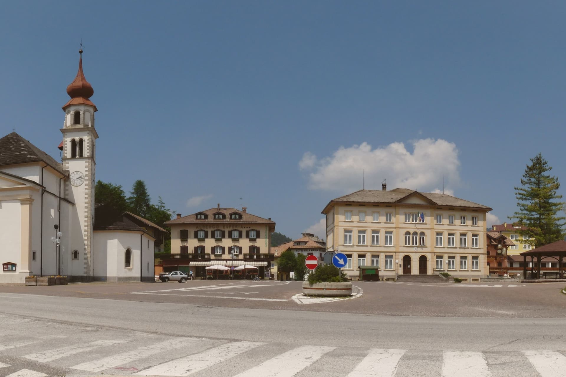
A Cimbrian plateau at 1,172 metres above the Val d'Astico, with a karst lake and a wooded fort line.
- Best time
- Jun–Sep, Dec–Mar
- By car
- 43 min from Trento
- Population
- 1,186
Known for
FORTE BELVEDERE
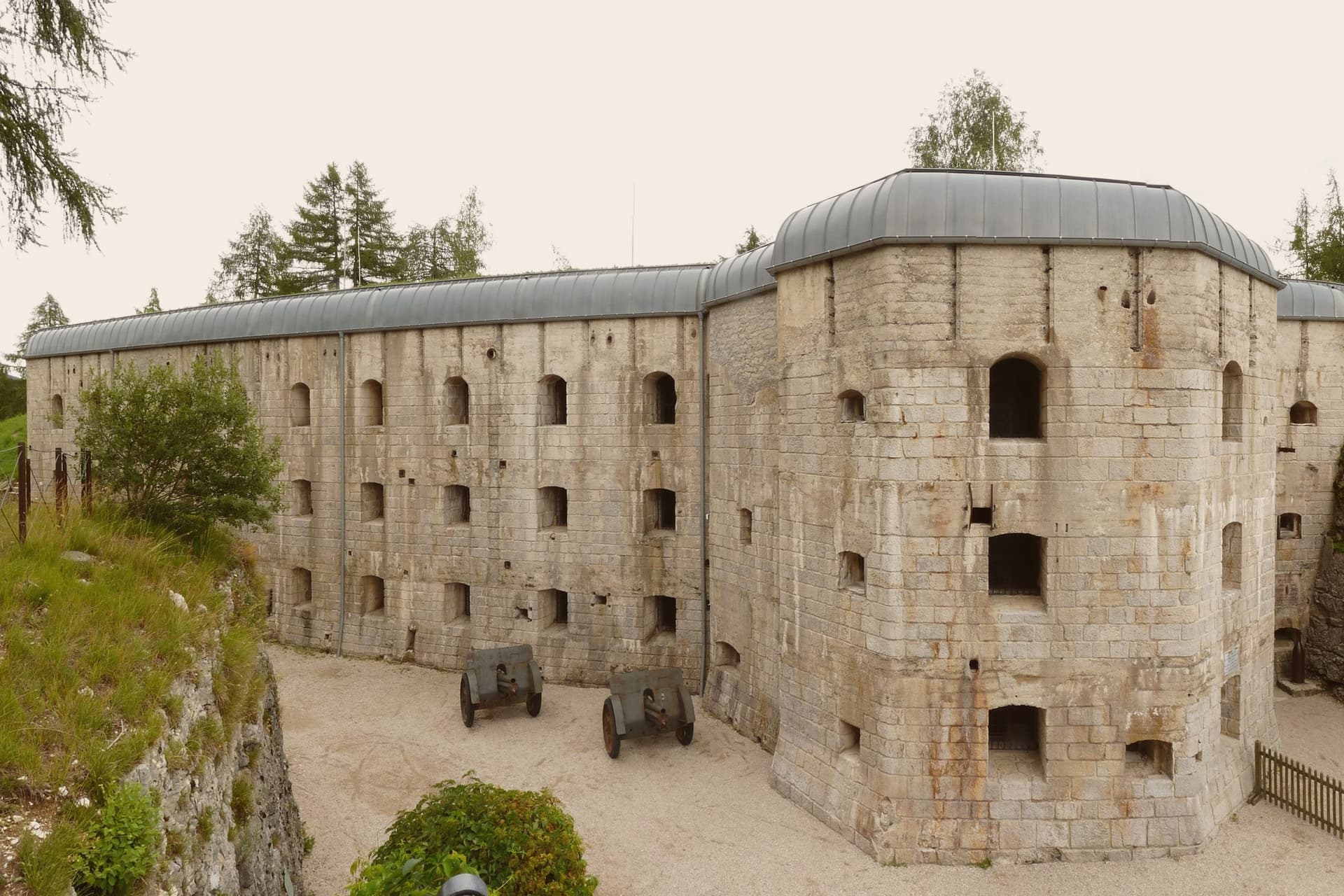
Austro-Hungarian fort built 1908-1912 on a limestone spur over the Val d'Astico, one of the best-preserved Great War fortifications in Trentino.
LAGO DI LAVARONE
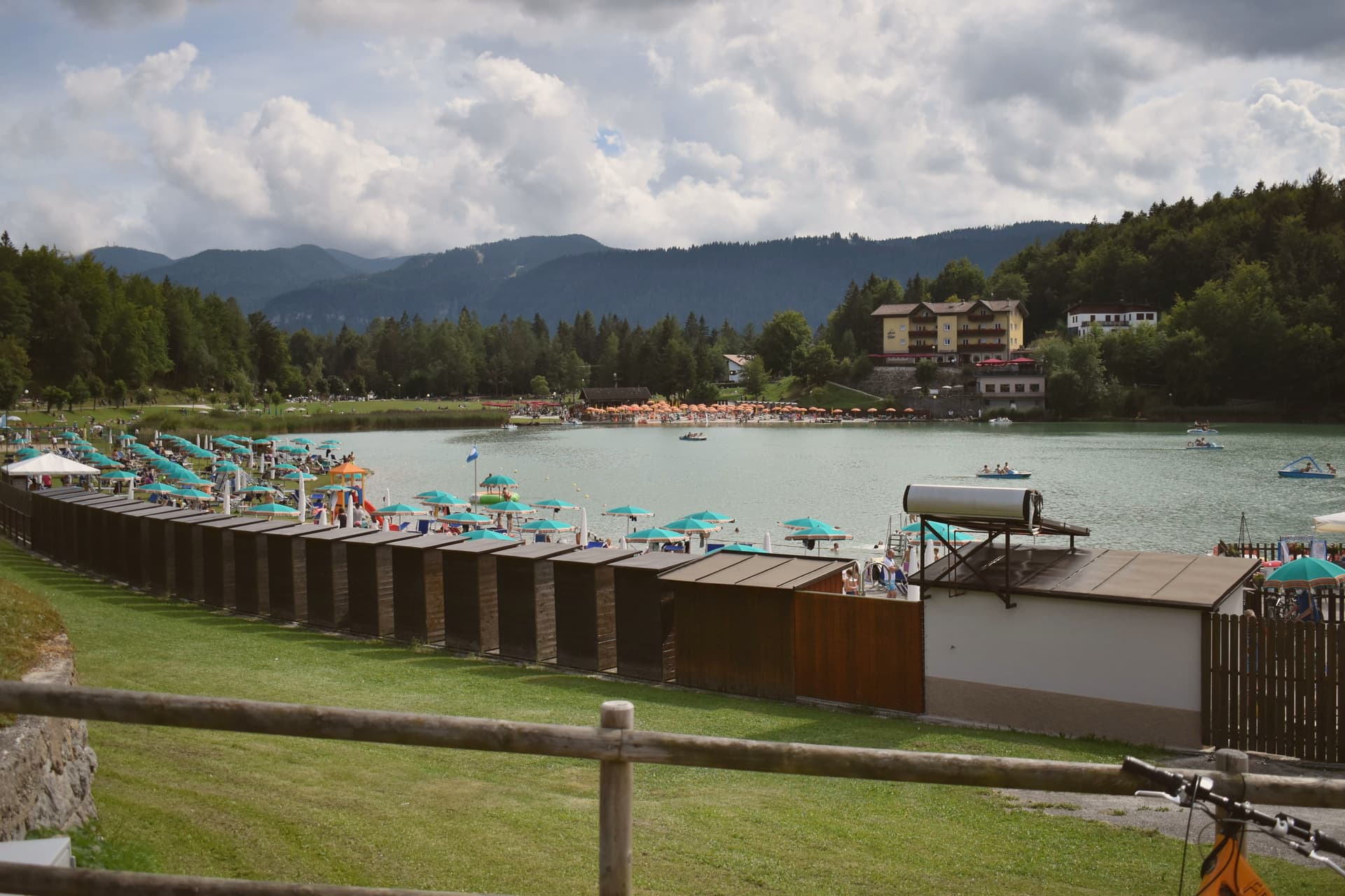
Karst lake at 1,079 metres holding a Bandiera Blu, set in conifer woods where Sigmund Freud spent three summer holidays.
CIMBRIAN PLATEAU
Settled by Bavarian colonists from the tenth century, part of the Magnifica Comunità degli Altipiani Cimbri with neighbouring Luserna.
When to visit
Best · Jun–Sep, Dec–Mar
- J3°
- F7°
- M8°
- A11°
- M15°
- J20°
- J23°
- A23°
- S18°
- O14°
- N8°
- D3°
- Best
- Hot or crowded
- Quiet
- Mostly closed
Daytime averages, 2020–2024. Weather data by Open-Meteo.com.
The festa: Floriano di Lorch, 4 May
Why come
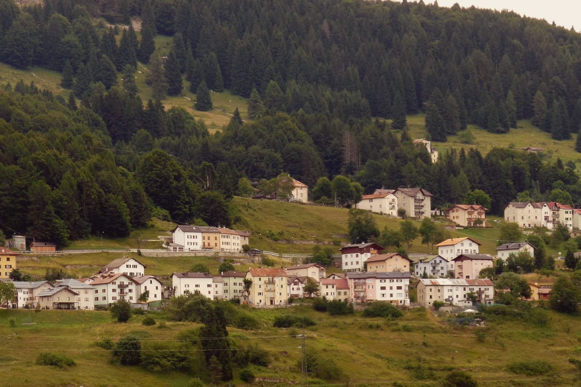
The plateau lies between the Folgaria highlands and the Cimbrian island of Luserna, forming the southern edge of the Alpe Cimbra ski circuit. Its territory is a scatter of twenty hamlets spread across pasture and conifer woods, settled by Bavarian-Cimbrian colonists between the tenth and thirteenth centuries, a history that still binds the plateau to Luserna under the same historic community. At the centre of this scattered geography sits the lake, a sinkhole slowly filled with water, and to the south the ground rises to a limestone spur over the Val d'Astico where the fort was raised to mark the old imperial border with the Kingdom of Italy.
The two landmarks sit at opposite ends of the same plateau, one low and wooded, one high and exposed, and both look out over the same valley that once divided empires. In winter the lifts run from the hamlets above 1,000 metres, closing the loop between a pastoral upland and a line built for war.
The Sunday letter
Lavarone is on our list. Its letter is still to come.
We are writing about all 1,000 of these towns, one at a time, in a free letter every Sunday: the photo, the food, the festa. That is our mission. Sign up and you will be there when Lavarone comes up. By Peter & Sophia, from Pietrasanta.
Read on
Lavarone in our articles
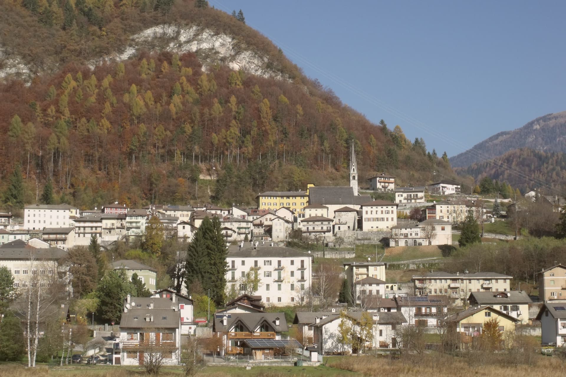
 The best small high-altitude villages within 90 minutes of Trento6 towns, Lavarone among them.
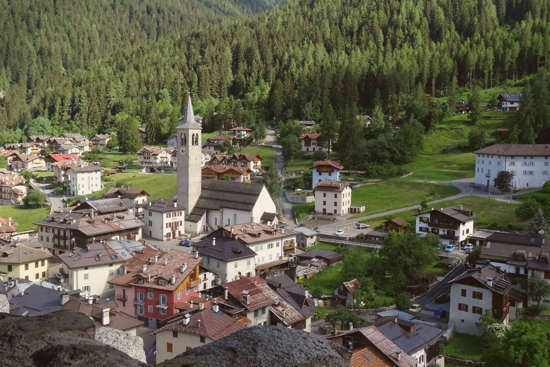
 The 9 best mountain towns within 90 minutes of Trento9 towns, Lavarone among them.
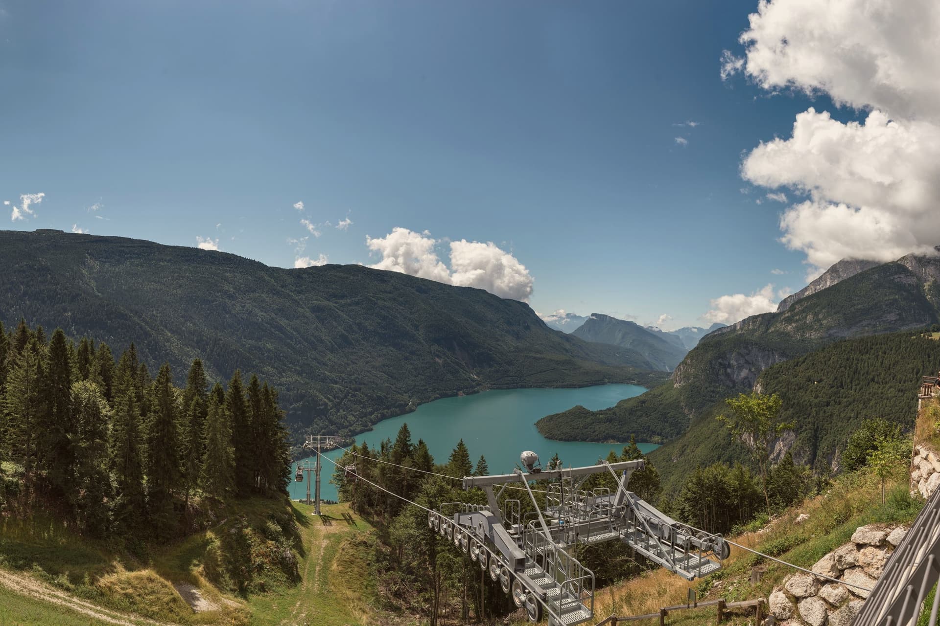
 The 10 best high-altitude villages in the province of Trento10 towns, Lavarone among them.
 The best hidden ski towns in the province of Trento10 towns, Lavarone among them.
How to get there
From Verona (VRN), about 1h 43m by car.
Venice (TSF) is about 2 hours away.
By car from the centre of Trento 43 minutes, Bolzano 1h 20m or Padua 1h 30m.
Coming by train into Trento? Lavarone is about 42 minutes away by road.
What to see
Forte Belvedere Gschwent
Austro-Hungarian fortress built 1908-1912 on a limestone spur at 1,177 metres over the Val d'Astico, with armoured cupolas and a Great War museum.
Lago di Lavarone
Karst lake at 1,079 metres, formed by the filling of a sinkhole, awarded the Bandiera Blu for water quality and ringed by a conifer-shaded walking path.
Altopiano di Lavarone
Forested plateau between the Folgaria highlands and Luserna, a scatter of twenty hamlets across pasture and woods at 1,000 to 1,200 metres.
Alpe Cimbra ski area
Folgaria-Lavarone-Lusérn ski circuit with slopes from the plateau hamlets above 1,000 metres, part of the Skirama Dolomiti card.
Freud's path
Lakeside trail marking the three summer holidays Sigmund Freud spent at Lavarone in the early twentieth century, with information panels along the route.
The slow-trip planner
Building a trip? Find where Lavarone fits in a slow Italy circuit.
Answer five questions. We will shape a geographically coherent slow trip from the 1,000 Italian towns most travelers skip. Yours to save and share.
Living here
- Population 1,186
- Remotei
- Pharmacy in town
- High school within a 30-minute drive
- Nearest airport Verona, 1 h 43 min drive
- Regional capital Trento, 43 min drive
Common questions
- What is Lavarone known for?
- Lavarone is a Cimbrian plateau at 1,172 metres above the Val d'Astico, with a karst lake and a wooded fort line.
- Where is Lavarone?
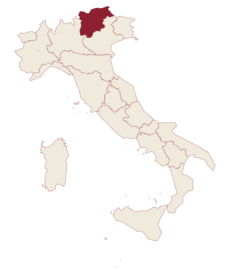
- Lavarone is a comune in the province of Trento, in Trentino-Alto Adige/Südtirol, at 1172 meters above sea level.
- What is the nearest airport to Lavarone?
- Verona (VRN), about 1h 43m by car.
- How long is the drive from Trento to Lavarone?
- About 43 minutes by car.
- When is the best time to visit Lavarone?
- Best in Jun–Sep, Dec–Mar. July is the warmest month, averaging 23 degrees, and May the wettest, with about 23 rain days.
- Is there a sagra or a festival in Lavarone?
- The town keeps its patron saint's day: Floriano di Lorch, 4 May.
- Which other towns are like Lavarone?
- Moena, Canazei and Rocca Pietore.
- How many people live in Lavarone?
- 1,186 at the 2023 count.
Tags & datadesignations · numbers · sources
Recognised as
The numbers
- Elevation: 1172 m
- Population: 1,186
- Surface area: 26.32 km²
These figures were compiled from public directories: ISTAT, OpenStreetMap and Wikidata, and from the official listings of the guides named on this page. Town details change; verify with official sources before you travel.
Similar
Towns like Lavarone
Moena
Province: Trento
both high in the mountains · both under 3,000 people
Canazei
Province: Trento
both high in the mountains · both under 3,000 people
Rocca Pietore
Province: Belluno
both high in the mountains · both under 3,000 people
Falcade
Province: Belluno
both high in the mountains · both under 3,000 people
Pescasseroli
Province: L'Aquila
both high in the mountains · both under 3,000 people
Geraci Siculo
Province: Palermo
both high in the mountains · both under 3,000 people
🟦 Bandiera Blu
More Bandiera Blu towns in Trentino-Alto Adige/Südtirol
Baselga di Pinè
Province: Trento
The main town of the Piné plateau at 964 metres, with a Blue Flag lake, Italy's outdoor speed skating oval and a baroque Marian sanctuary.
Bondone
Province: Trento
A two-village commune above Lake Idro at the Lombard border, with a Lodron castle on the cliff between them.
Levico Terme
Province: Trento
A Habsburg spa town in the Valsugana at 520 metres, built on arsenic-iron thermal waters.
Tenno
Province: Trento
A hillside commune above Lake Garda where a medieval stone hamlet, a turquoise lake and the northernmost olive groves in Europe sit within reach of each other.