
Trentino-South Tyrol · Trento
Andalo
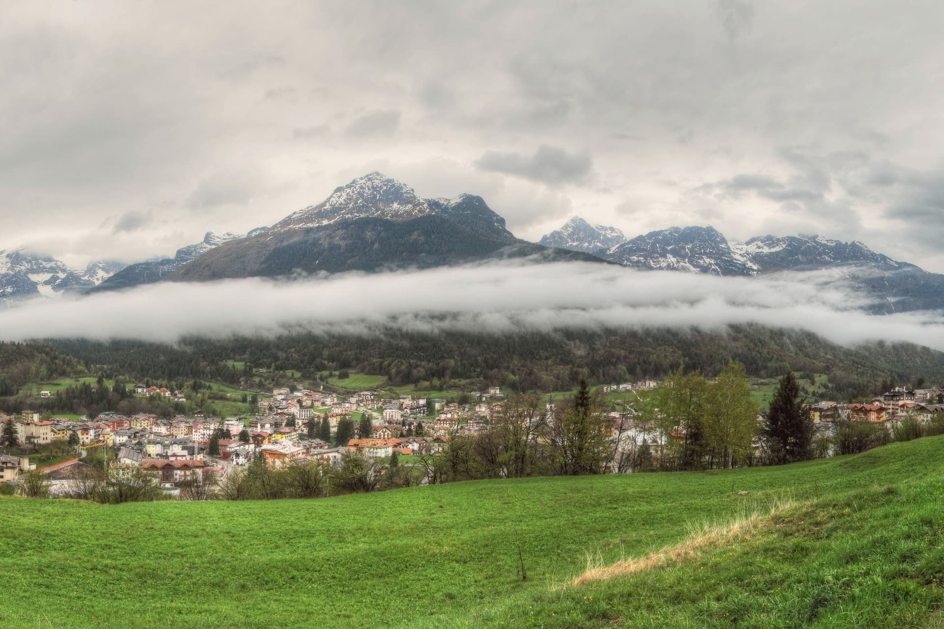
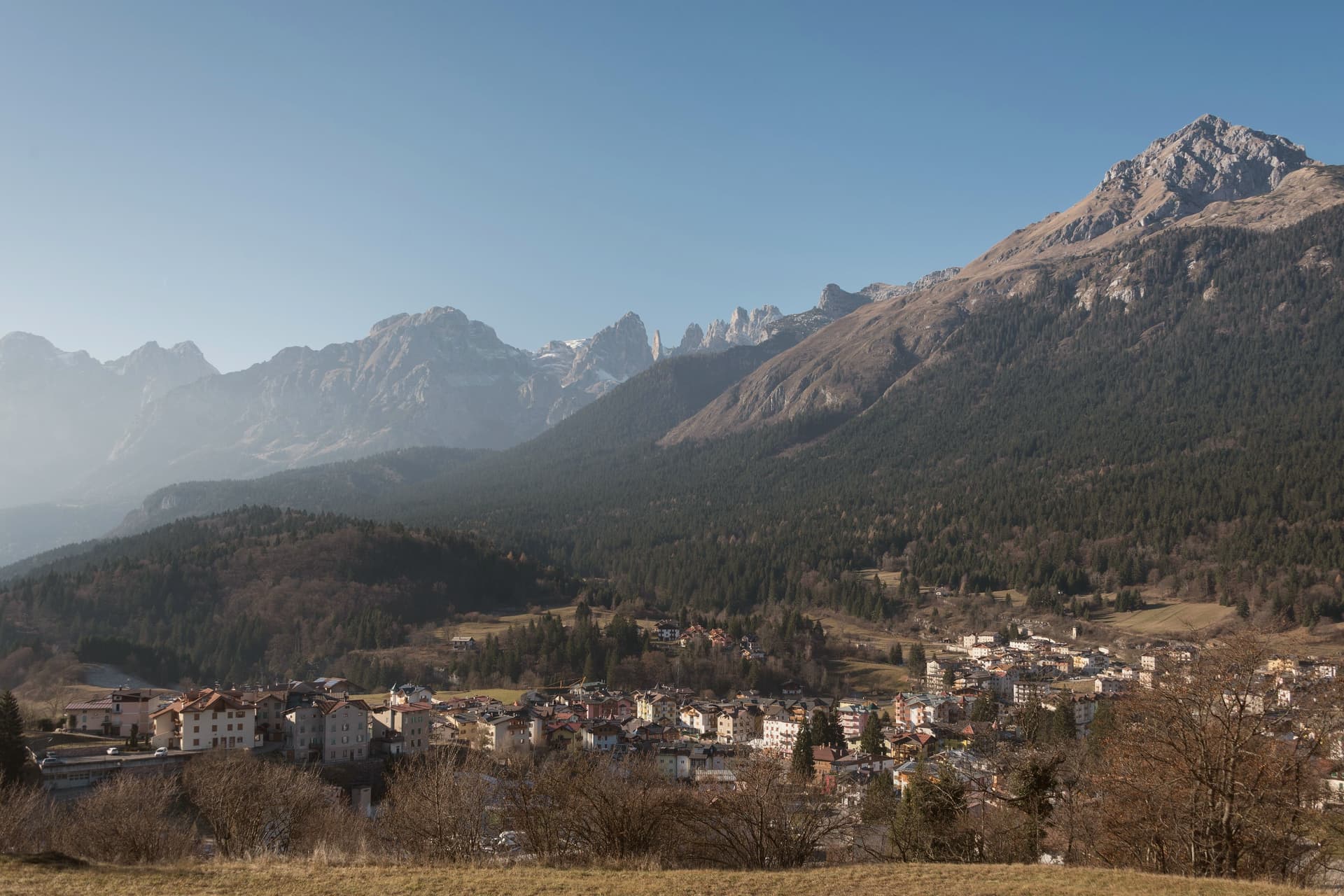
An alpine pass at 1,042 metres on the Paganella plateau, with a mountain range on one side and a periodic lake that empties and refills.
- Best time
- Jun–Sep, Dec–Mar
- By car
- 39 min from Trento
- Population
- 1,147
Known for
PAGANELLA
Fifty kilometres of slopes from the village centre to Cima Paganella at 2,125 metres, part of the Skirama Dolomiti Adamello Brenta circuit.
THE PERIODIC LAKE
Lago di Andalo fills with snowmelt and rain, then drains underground in summer, a hydrological behaviour shared by only eight lakes in the world.
ADAMELLO-BRENTA PARK
Most of the commune sits inside Trentino's largest nature park, with the Brenta Dolomites group recognised as UNESCO World Heritage in 2009.
When to visit
Best · Jun–Sep, Dec–Mar
- J3°
- F6°
- M8°
- A12°
- M16°
- J21°
- J23°
- A23°
- S18°
- O14°
- N7°
- D3°
- Best
- Hot or crowded
- Quiet
- Mostly closed
Daytime averages, 2020–2024. Weather data by Open-Meteo.com.
The festa: San Vito, 15 June
Why come
The plateau opens between Piz Galin at 2,442 metres and Cima Paganella at 2,125 metres, with the mountain massif on one side and Mount Paganella on the other. The settlement began in the Middle Ages as thirteen scattered masi, the farm clusters typical of Trentino's high pastures, which merged into a single town over the centuries: the grassy pass the village now occupies was, in effect, assembled from separate hamlets rather than founded as one place.
From the second half of the twentieth century the village grew into a winter sports resort, with lift infrastructure climbing from the village centre toward the higher slopes and summit. The lake at the edge of the settlement follows its own seasonal rhythm, full in spring and drained by late summer, apart from the built-up resort around it. Together the pieces read as a farming settlement that kept its old shape at the centre while building a ski resort around its edge, with a nature park and a disappearing lake as the fixed, non-negotiable backdrop to both.
The Sunday letter
Andalo is on our list. Its letter is still to come.
We are writing about all 1,000 of these towns, one at a time, in a free letter every Sunday: the photo, the food, the festa. That is our mission. Sign up and you will be there when Andalo comes up. By Peter & Sophia, from Pietrasanta.
Read on
Andalo in our articles
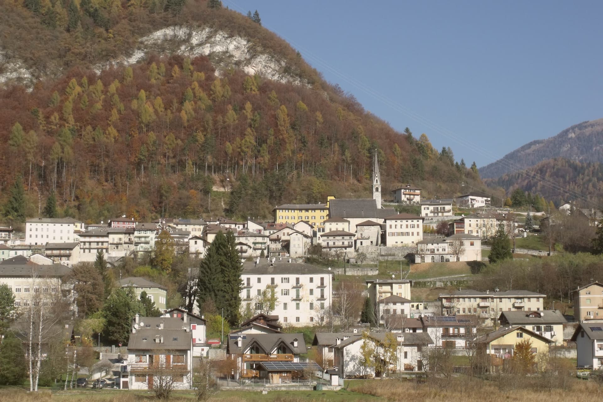
 The best small high-altitude villages within 90 minutes of Trento6 towns, Andalo among them.
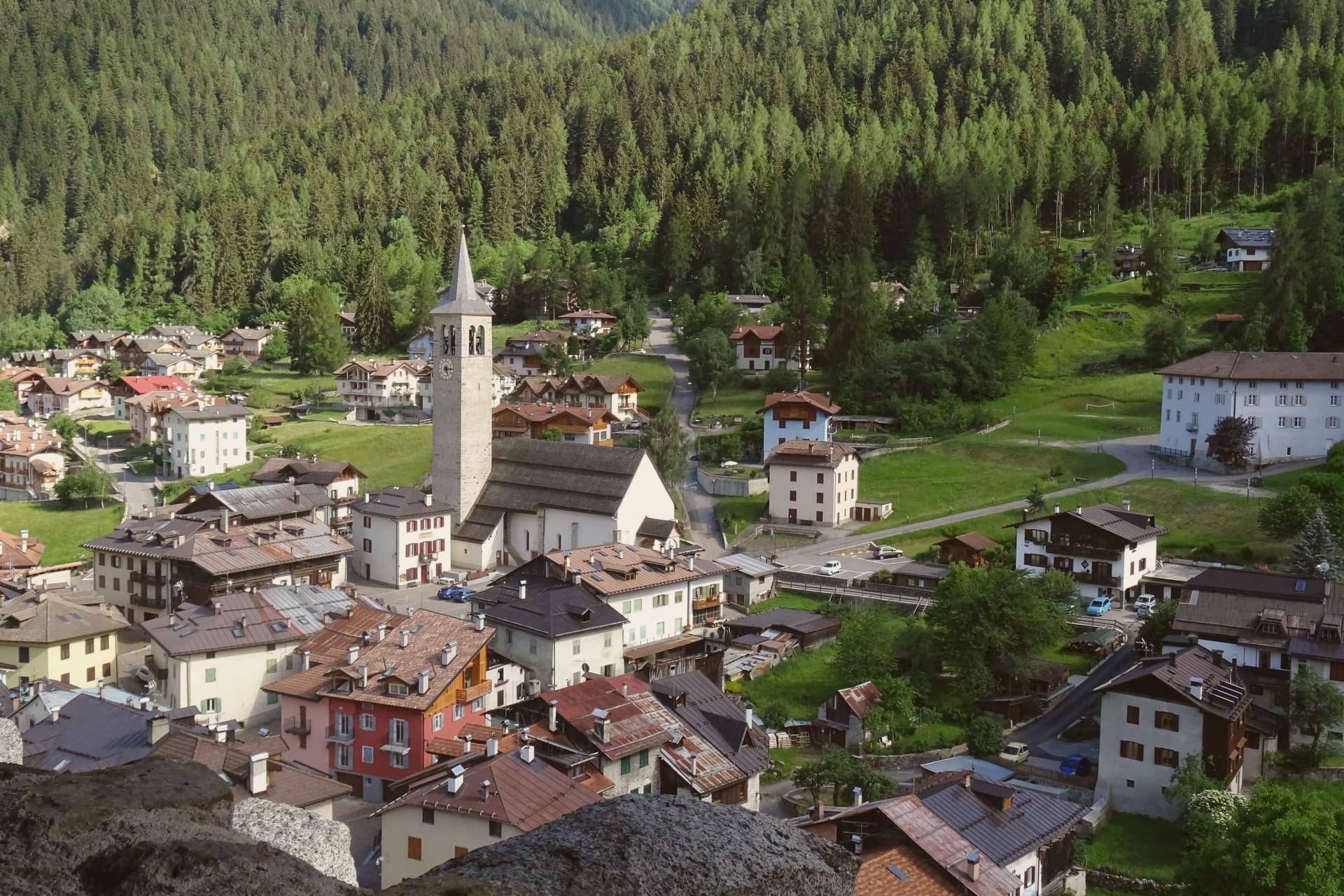
 The 9 best mountain towns within 90 minutes of Trento9 towns, Andalo among them.
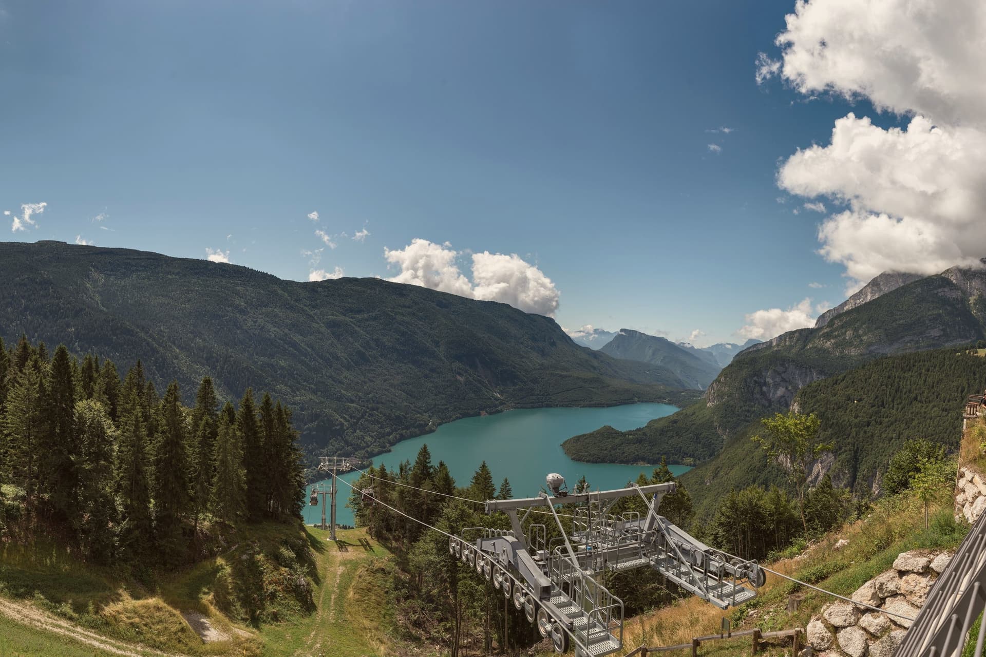
 The 10 best high-altitude villages in the province of Trento10 towns, Andalo among them.
 The best hidden ski towns in the province of Trento10 towns, Andalo among them.
How to get there
From Verona (VRN), about 1h 48m by car.
Milan (BGY) is about 2h 32m away.
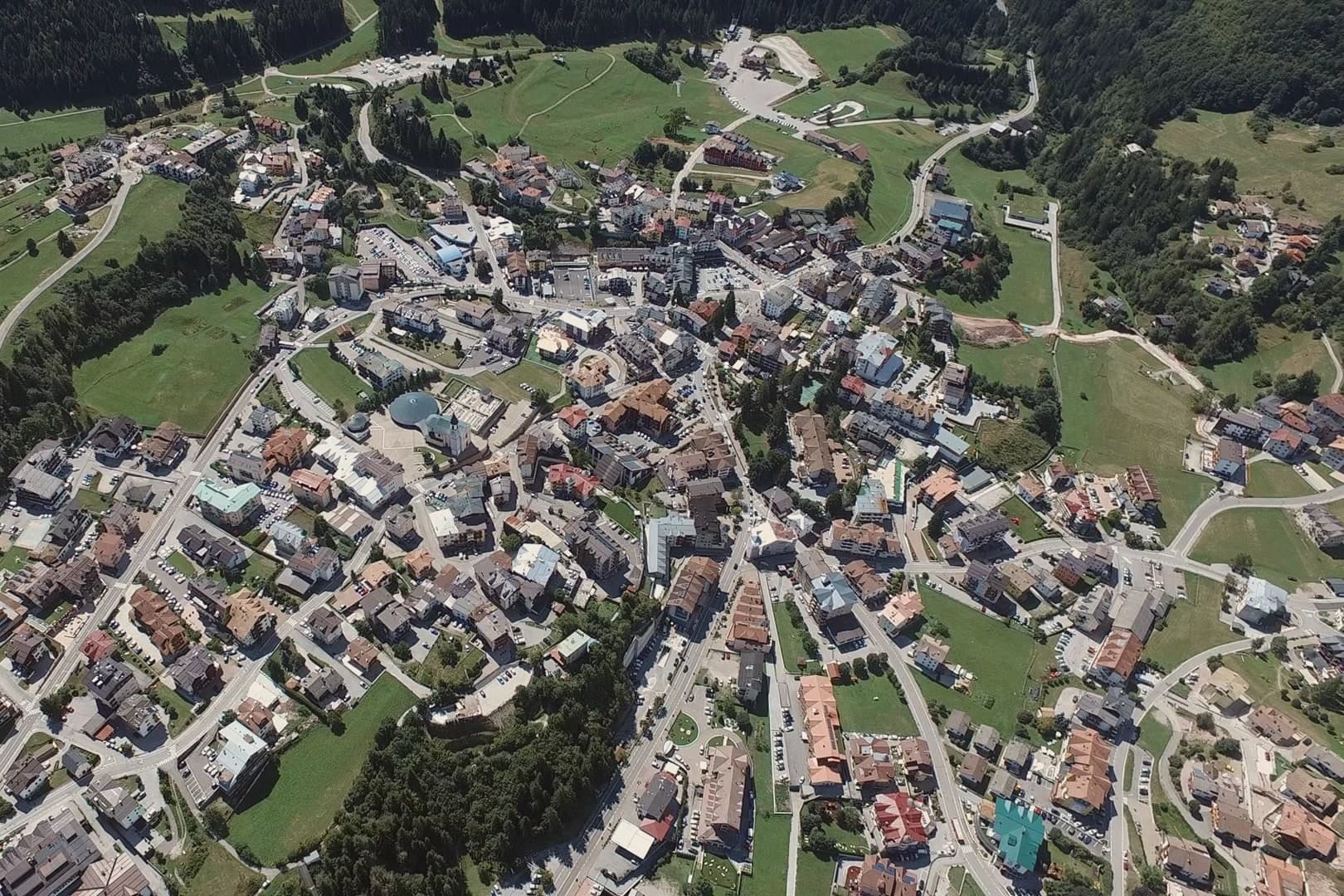
By car from the centre of Trento 39 minutes or Bolzano 57 minutes.
Coming by train into Trento? Andalo is about 39 minutes away by road.
What to see
Cima Paganella
Summit reached by gondola from the village centre via Doss Pelà, with panoramic views over the Brenta Dolomites and the Adige valley.
Lago di Andalo
The lake sits at the edge of the village, a stretch of water that is full in spring and gone by late summer, its bed exposed where the shoreline had been.
Parco Naturale Adamello-Brenta
The park covers most of the Andalo territory, taking in the Brenta Dolomites group inscribed in the UNESCO World Heritage list in 2009.
Paganella Ski Area
Slopes running between 1,030 and 2,125 metres, centred on the Andalo village base, with lift access built up through the second half of the twentieth century.
Altopiano della Paganella
Grassy plateau with hiking and biking routes across alpine pastures and through the masi that founded the village.
The slow-trip planner
Building a trip? Find where Andalo fits in a slow Italy circuit.
Answer five questions. We will shape a geographically coherent slow trip from the 1,000 Italian towns most travelers skip. Yours to save and share.
Living here
- Population 1,147
- In-betweeni
- Pharmacy in town
- High school within a 30-minute drive
- Nearest airport Verona, 1 h 48 min drive
- Regional capital Trento, 39 min drive
Common questions
- What is Andalo known for?
- Andalo is an alpine pass at 1,042 metres on the Paganella plateau, with a mountain range on one side and a periodic lake that empties and refills.
- Where is Andalo?
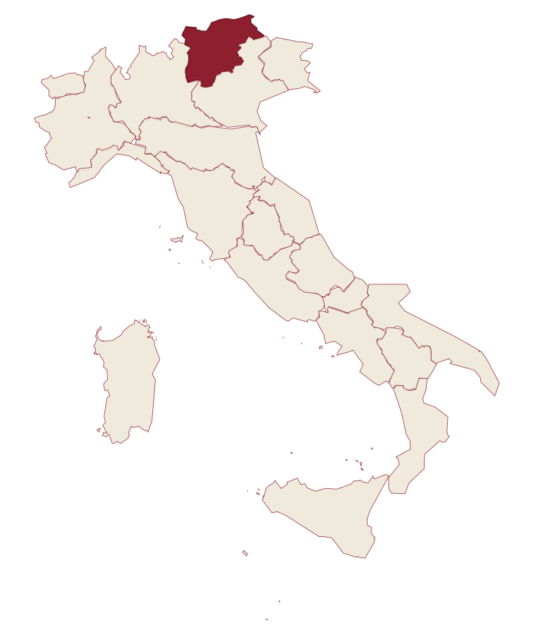
- Andalo is a comune in the province of Trento, in Trentino-Alto Adige/Südtirol, at 1042 meters above sea level.
- What is the nearest airport to Andalo?
- Verona (VRN), about 1h 48m by car.
- How long is the drive from Trento to Andalo?
- About 39 minutes by car.
- When is the best time to visit Andalo?
- Best in Jun–Sep, Dec–Mar. July is the warmest month, averaging 23 degrees, and May the wettest, with about 19 rain days.
- Is there a sagra or a festival in Andalo?
- The town keeps its patron saint's day: San Vito, 15 June.
- Which other towns are like Andalo?
- Limone Piemonte, Ovindoli and Courmayeur.
- How many people live in Andalo?
- 1,147 at the 2023 count.
Tags & datadesignations · numbers · sources
Recognised as
The numbers
- Elevation: 1042 m
- Population: 1,147
- Surface area: 11.38 km²
These figures were compiled from public directories: ISTAT, OpenStreetMap and Wikidata, and from the official listings of the guides named on this page. Town details change; verify with official sources before you travel.
Similar
Towns like Andalo
Limone Piemonte
Province: Cuneo
both high in the mountains · both under 3,000 people
Ovindoli
Province: L'Aquila
both high in the mountains · both under 3,000 people
Courmayeur
Province: Aosta Valley
both high in the mountains · both under 3,000 people
Lavarone
Province: Trento
both high in the mountains · both under 3,000 people
Moena
Province: Trento
both high in the mountains · both under 3,000 people
Canazei
Province: Trento
both high in the mountains · both under 3,000 people
⛷️ Ski Area
More Ski Area towns in Trentino-Alto Adige/Südtirol
Brentonico
Province: Trento
The Monte Baldo plateau town between Lake Garda and the Vallagarina, with chestnut groves, war trenches and a botanical garden.
Bressanone
Province: Bolzano
The oldest town in Tyrol, a prince-bishopric for eight centuries at the confluence of the Eisack and Rienz, below the Plose ridge.
Brunico
Province: Bolzano
The largest town of the Pustertal at 838 metres, built around the prince-bishop's castle and the Stadtgasse, with Plan de Corones rising above the valley.
Canazei
Province: Trento
A Ladin village at 1,465 metres at the head of Val di Fassa, ringed by Marmolada, Sella and Sassolungo and the Sellaronda circuit.
Kastelruth
Province: Bolzano
South Tyrolean village on a shelf below the Sciliar, eighty-two-metre bell tower over the square, home of the Kastelruther Spatzen.