
Trentino-South Tyrol · Trento
Brentonico
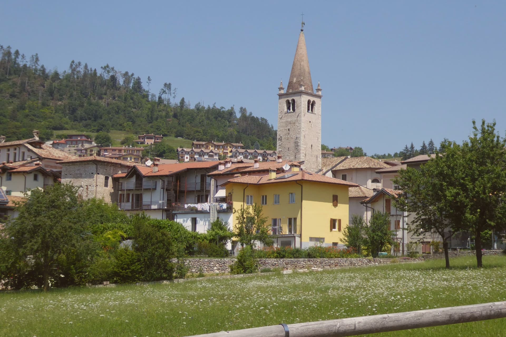
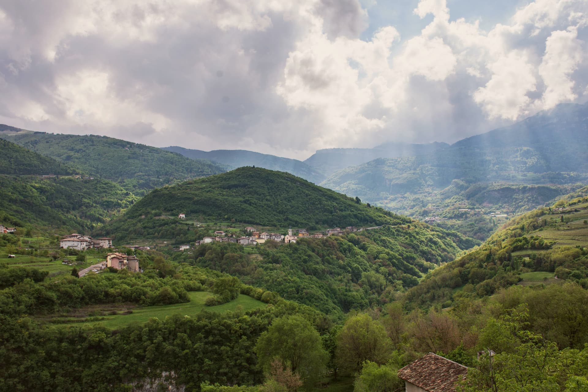
The Monte Baldo plateau town between Lake Garda and the Vallagarina, with chestnut groves, war trenches and a botanical garden.
- Best time
- May–Oct
- By car
- 42 min from Trento
- Population
- 4,077
Known for
CHESTNUTS OF CASTIONE
Terraced chestnut and marroni groves above the Vallagarina, producing a third of all Trentino chestnut output and feeding the autumn sagra calendar.
MONTE BALDO FLORA
Northeastern slope of the range Europeans called the Garden of Italy, protected as a local nature park with a 3,500 square metre botanical garden.
PALAZZO ECCHELI-BAISI
Sixteenth-century palace in the centre, built in 1597 by mine-managers and now holding the fossil museum and the Monte Baldo Park visitor centre.
When to visit
Best · May–Oct
- J5°
- F8°
- M10°
- A14°
- M18°
- J23°
- J25°
- A25°
- S21°
- O16°
- N10°
- D5°
- Best
- Hot or crowded
- Quiet
- Mostly closed
Daytime averages, 2020–2024. Weather data by Open-Meteo.com.
Why come
Brentonico sits at 692 metres on a plateau between Lake Garda and the Vallagarina. The commune runs from 500 metres in the valley to over 2,000 at the ridge, an altitude range wide enough to hold a chestnut hamlet at one end and ski hamlets at the other. Castione, the lower hamlet, faces the Adige valley and lives by its terraces. San Valentino, Polsa and San Giacomo, the upper hamlets above 1,200 metres, face the opposite way, toward pasture and snow.
Palazzo Eccheli-Baisi anchors the centre and has changed hands once in a way that says something about the town: built in 1597 by mine managers, it passed in 1840 to a family of salami merchants, before ending up, in this century, as a house for fossils and for the office that manages the mountain's protected slope. That slope, and the garden set in front of the palace, both draw on the same fact: the mountain was named by European botanists for what grows on it, and the town's two conservation projects, one wild, one planted, sit on either side of the same building.
Above Crosano the ground still carries the trenches of the First World War, dug where the Austro-Hungarian line crossed the plateau. The valley below has been worked for chestnuts and the ridge above was fought over, and the palace in the centre now holds the record of both.
The Sunday letter
Brentonico is on our list. Its letter is still to come.
We are writing about all 1,000 of these towns, one at a time, in a free letter every Sunday: the photo, the food, the festa. That is our mission. Sign up and you will be there when Brentonico comes up. By Peter & Sophia, from Pietrasanta.
Read on
Brentonico in our articles
 The 7 best towns with a serious restaurant that eat well within 90 minutes of Trento7 towns, Brentonico among them.
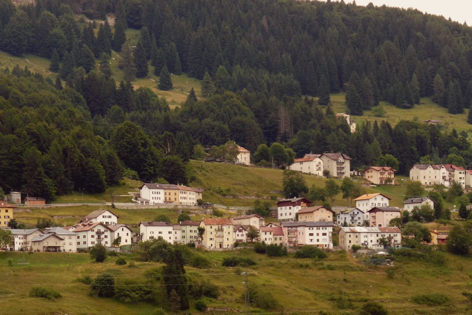 The best small towns that eat well in the province of Trento7 towns, Brentonico among them.
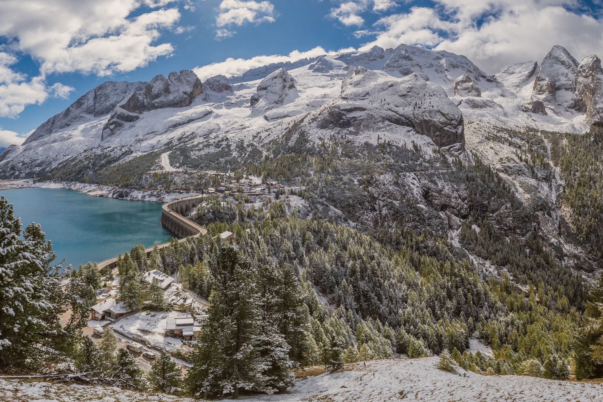 The best towns with a serious restaurant in the province of Trento8 towns, Brentonico among them.
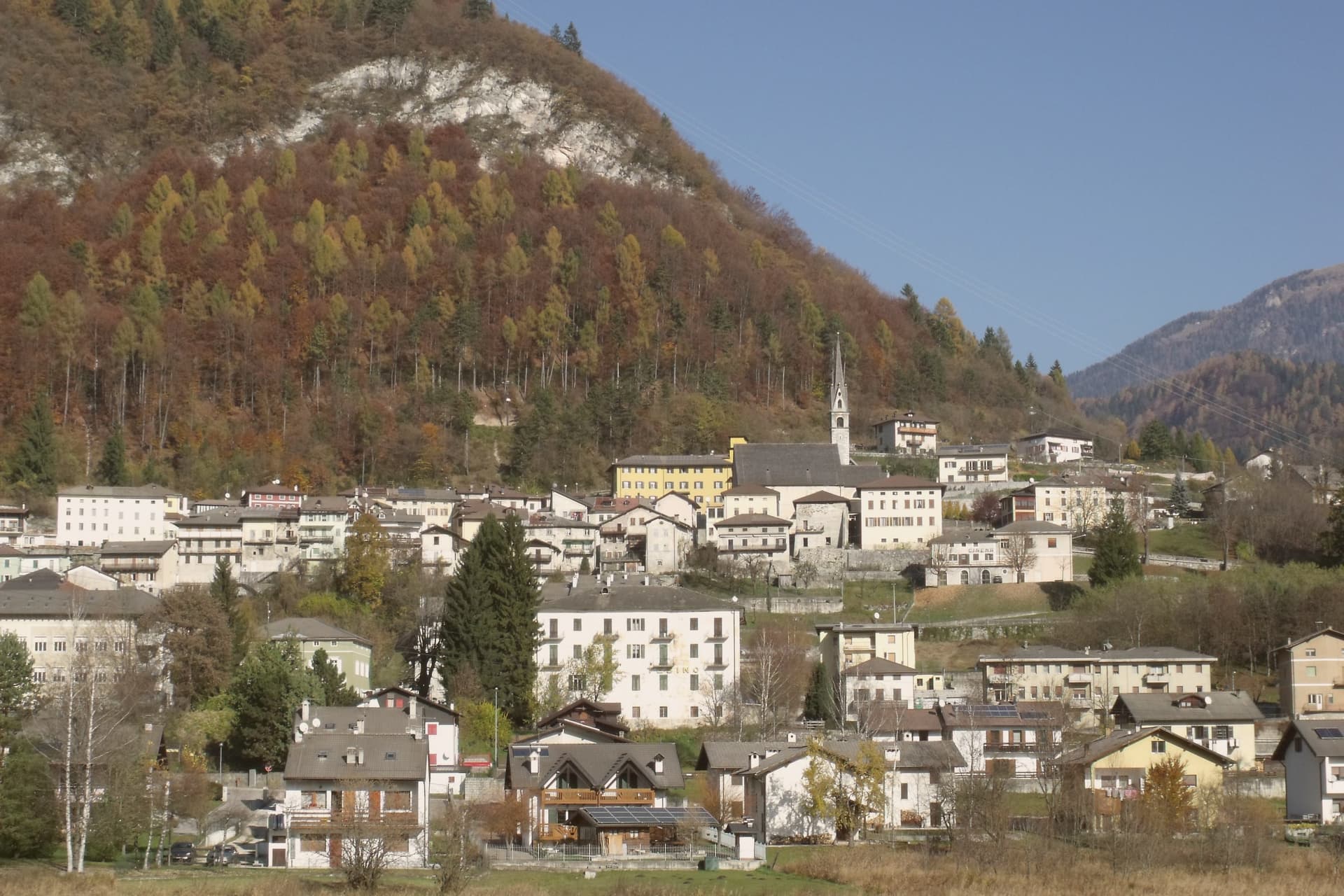 The 9 best mountain towns within 90 minutes of Trento9 towns, Brentonico among them.
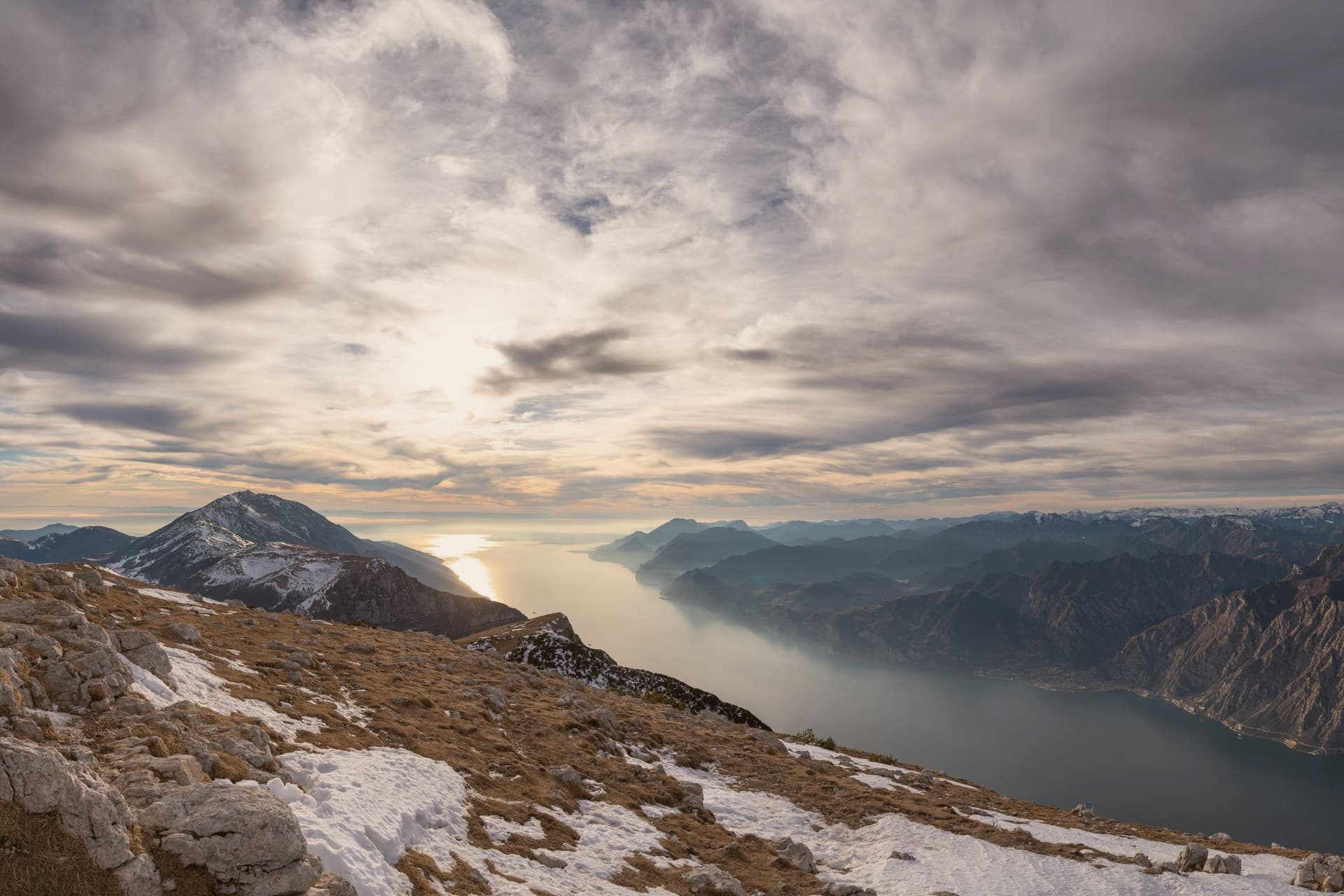
How to get there
From Verona (VRN), about 1h 15m by car.
Milan (BGY) is about 2 hours away.
By car from the centre of Trento 42 minutes or Bolzano 1h 14m.
Coming by train into Trento? Brentonico is about 43 minutes away by road.
What to see
Palazzo Eccheli-Baisi
The building's later life traces the town's own turns: sold in 1840 by the founding mine-manager family to salami merchants, it now sits open to visitors as museum and park office at once, fossils in the rooms where ore accounts were once kept.
Giardino Botanico di Brentonico
Opened in 2005 at 690 metres, directly in front of the palace, the garden gathers native and rare Monte Baldo plants into a plot small enough to walk in an afternoon.
Parco Naturale Locale del Monte Baldo
The protected slope is where the mountain earns its old reputation: paths through it cross the endemic flora that gave the range its name among European botanists.
Castagneti di Castione
The terraces rise in tiers above the Vallagarina, walkable in autumn when the hamlet empties into the groves for the harvest.
Trincee della Grande Guerra
The dug lines above the village of Crosano are still legible in the ground, marking where the Austro-Hungarian front held the plateau between 1915 and 1918.
Altopiano di San Valentino
The upper ground between 1,200 and 1,330 metres holds three hamlets, San Valentino, Polsa and San Giacomo, given over to the commune's small ski runs in winter and summer pasture the rest of the year.
The slow-trip planner
Building a trip? Find where Brentonico fits in a slow Italy circuit.
Answer five questions. We will shape a geographically coherent slow trip from the 1,000 Italian towns most travelers skip. Yours to save and share.
We recommend
Where to eat
Not our picks, but places the guides put their name to: a Michelin star, a Gambero Rosso fork, a Slow Food snail, a Michelin Key for the hotels. Worth a table, a counter, or a night when you pass through.
Maso PalùRistorante
Maso Palù carries a Michelin Bib Gourmand, plus a Slow Food snail.
Living here
- Population 4,077
- Commuter belti
- Pharmacy in town
- High school within a 30-minute drive
- Nearest airport Verona, 1 h 15 min drive
- Regional capital Trento, 42 min drive
Common questions
- What is Brentonico known for?
- Brentonico is the Monte Baldo plateau town between Lake Garda and the Vallagarina, with chestnut groves, war trenches and a botanical garden.
- Where is Brentonico?
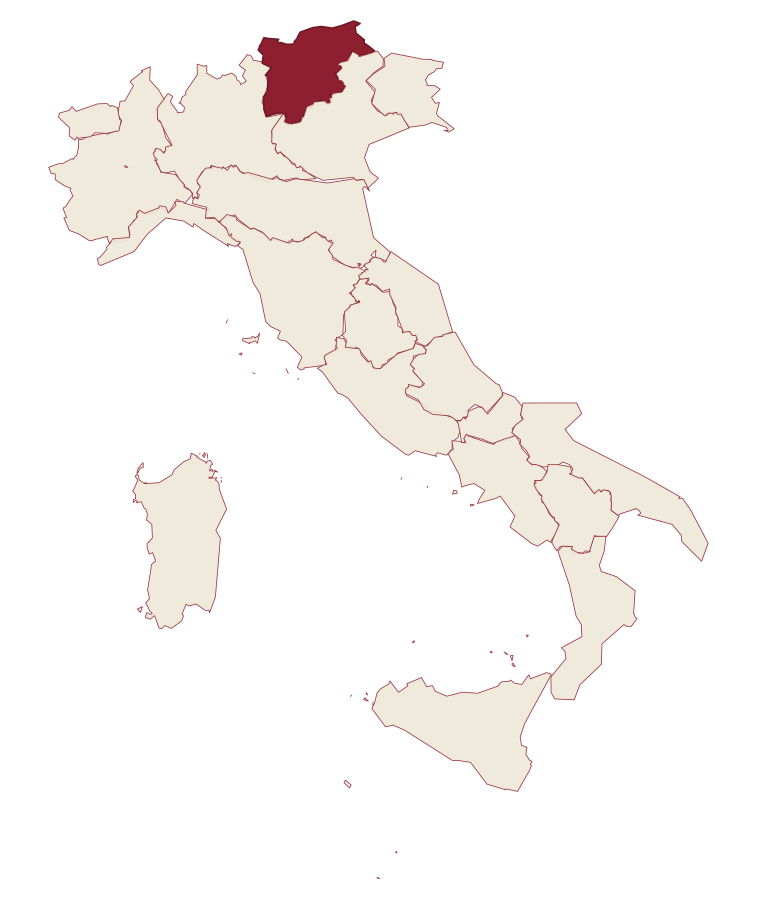
- Brentonico is a comune in the province of Trento, in Trentino-Alto Adige/Südtirol, at 692 meters above sea level.
- What is the nearest airport to Brentonico?
- Verona (VRN), about 1h 15m by car.
- How long is the drive from Trento to Brentonico?
- About 42 minutes by car.
- When is the best time to visit Brentonico?
- Best in May–Oct. July is the warmest month, averaging 25 degrees, and May the wettest, with about 20 rain days.
- Which other towns are like Brentonico?
- Baselga di Pinè, Pescina and Capistrello.
- How many people live in Brentonico?
- 4,077 at the 2023 count.
Tags & datadesignations · numbers · sources
Recognised as
The numbers
- Elevation: 692 m
- Population: 4,077
- Surface area: 57.14 km²
These figures were compiled from public directories: ISTAT, OpenStreetMap and Wikidata, and from the official listings of the guides named on this page. Town details change; verify with official sources before you travel.
Similar
Towns like Brentonico
Baselga di Pinè
Province: Trento
both mountain-valley towns · both between 3,000 and 10,000 people
Pescina
Province: L'Aquila
both mountain-valley towns · both between 3,000 and 10,000 people
Capistrello
Province: L'Aquila
both mountain-valley towns · both between 3,000 and 10,000 people
Spezzano della Sila
Province: Cosenza
both mountain-valley towns · both between 3,000 and 10,000 people
Ripalimosani
Province: Campobasso
both mountain-valley towns · both between 3,000 and 10,000 people
Teglio
Province: Sondrio
both mountain-valley towns · both between 3,000 and 10,000 people
⛷️ Ski Area
More Ski Area towns in Trentino-Alto Adige/Südtirol
Andalo
Province: Trento
An alpine pass at 1,042 metres on the Paganella plateau, with a mountain range on one side and a periodic lake that empties and refills.
Bressanone
Province: Bolzano
The oldest town in Tyrol, a prince-bishopric for eight centuries at the confluence of the Eisack and Rienz, below the Plose ridge.
Brunico
Province: Bolzano
The largest town of the Pustertal at 838 metres, built around the prince-bishop's castle and the Stadtgasse, with Plan de Corones rising above the valley.
Canazei
Province: Trento
A Ladin village at 1,465 metres at the head of Val di Fassa, ringed by Marmolada, Sella and Sassolungo and the Sellaronda circuit.
Kastelruth
Province: Bolzano
South Tyrolean village on a shelf below the Sciliar, eighty-two-metre bell tower over the square, home of the Kastelruther Spatzen.