
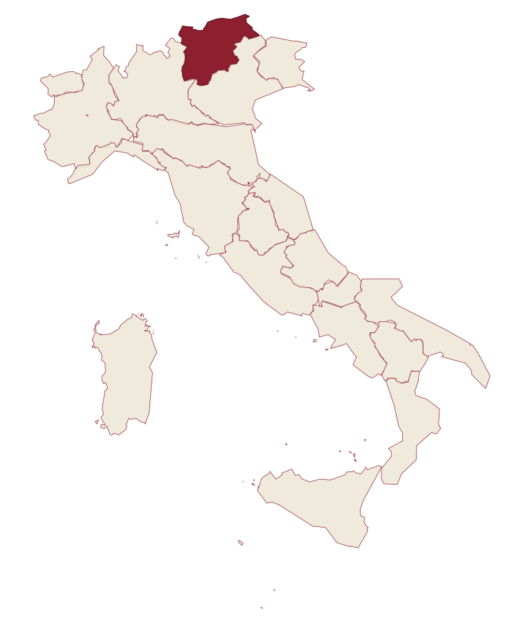
Trentino-South Tyrol · Bolzano
Kastelruth
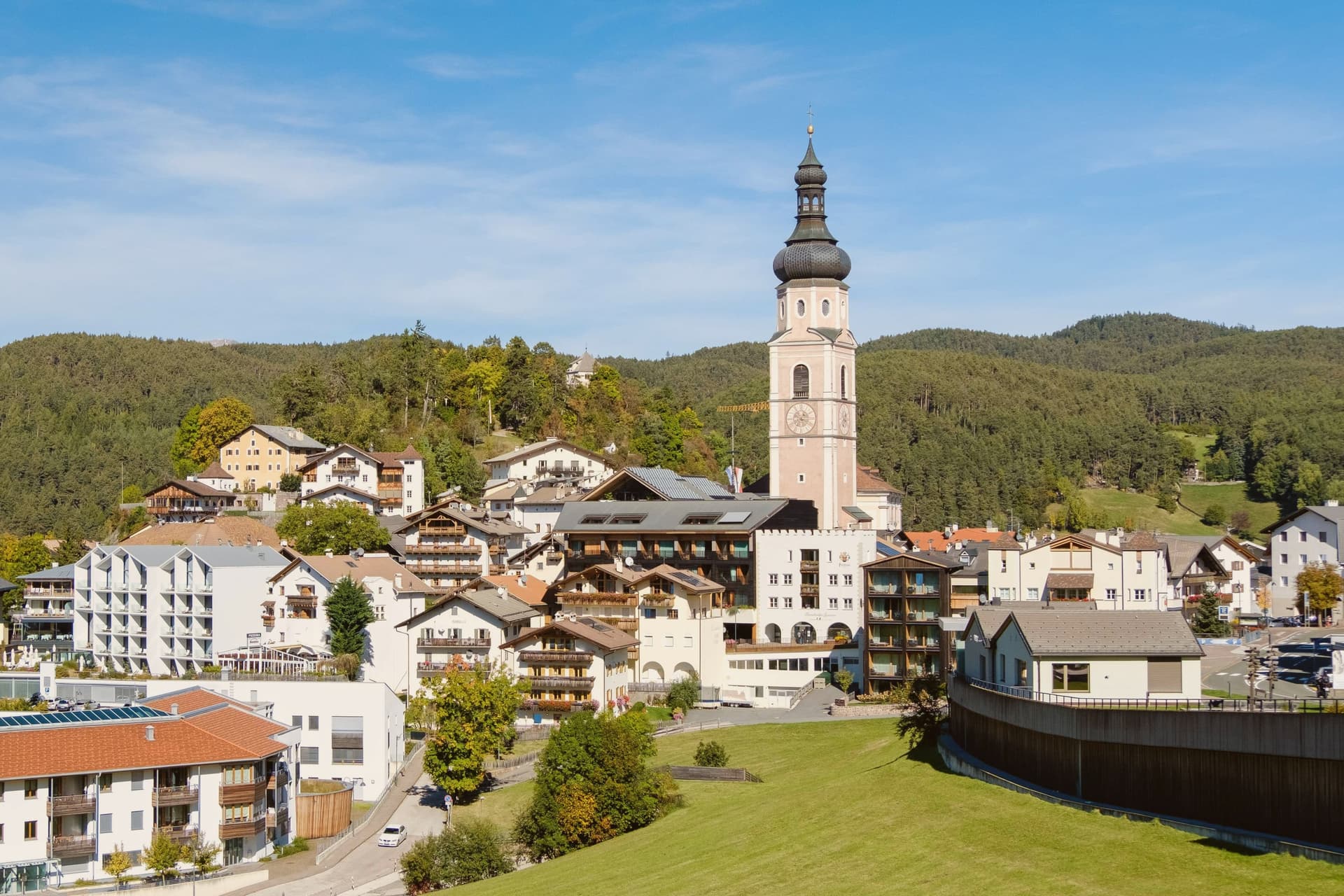
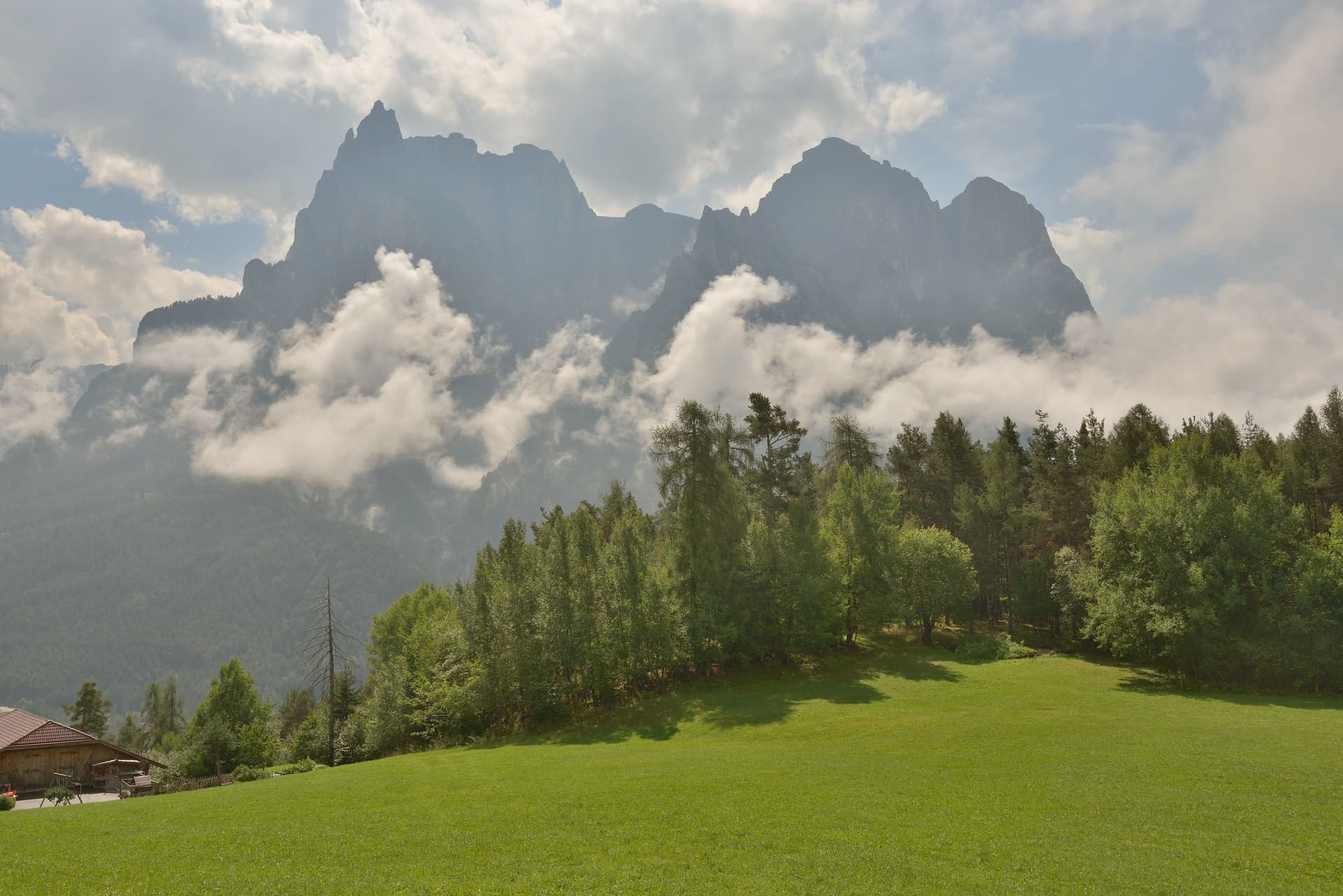
South Tyrolean village on a shelf below the Sciliar, eighty-two-metre bell tower over the square, home of the Kastelruther Spatzen.
- Best time
- Jun–Sep, Dec–Mar
- By car
- 44 min from Bolzano
- Population
- 6,967
Known for
ALPE DI SIUSI
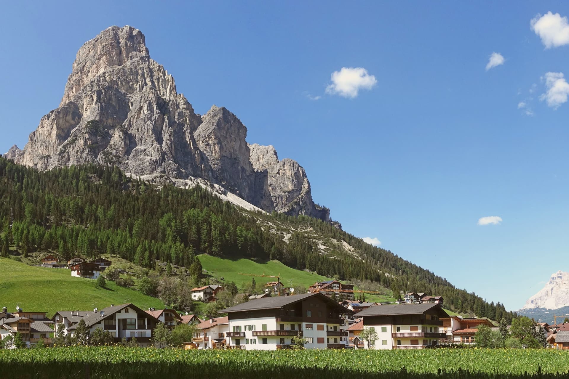
Europe's largest high-altitude meadow at 5,400 hectares, with the Sciliar and Sassolungo framing it on either side.
THE BELL TOWER
Eighty-two-metre baroque campanile standing separate from the parish church in the central square, the silhouette of Castelrotto from any direction.
KASTELRUTHER SPATZEN
Folk band founded in the village in 1975, more than fifteen million records sold and a museum on the central square, a German-language touring institution.
When to visit
Best · Jun–Sep, Dec–Mar
- J4°
- F7°
- M8°
- A12°
- M16°
- J22°
- J24°
- A24°
- S19°
- O15°
- N9°
- D4°
- Best
- Hot or crowded
- Quiet
- Mostly closed
Daytime averages, 2020–2024. Weather data by Open-Meteo.com.
Why come
Castelrotto, in German Kastelruth and in Ladin Ciastel, sits at 1,060 metres on a shelf below the Sciliar, twenty kilometres northeast of Bolzano. The commune's territory rises from 720 metres at San Vigilio to over 2,400 metres on the Sciliar massif, with the Alpe di Siusi reached from within that territory. The name first appears in the tenth century and goes back to the Castellum Ruptum, a destroyed castle on the Calvary hill above the village, so the hill above the square and the name on the map are the same story told twice.
Of around 6,500 residents, 82 per cent speak German as their first language, 15 per cent Ladin and 3 per cent Italian. That balance, and the position on a shelf between the valley floor and the high meadow above it, is what gives the village its Tyrolean character rather than an Italian one: a settlement whose centre, church tower, and surrounding pasture all sit within sight of each other, with the mountain doing most of the work of orientation.
The Sunday letter
Kastelruth is on our list. Its letter is still to come.
We are writing about all 1,000 of these towns, one at a time, in a free letter every Sunday: the photo, the food, the festa. That is our mission. Sign up and you will be there when Kastelruth comes up. By Peter & Sophia, from Pietrasanta.
Read on
Kastelruth in our articles
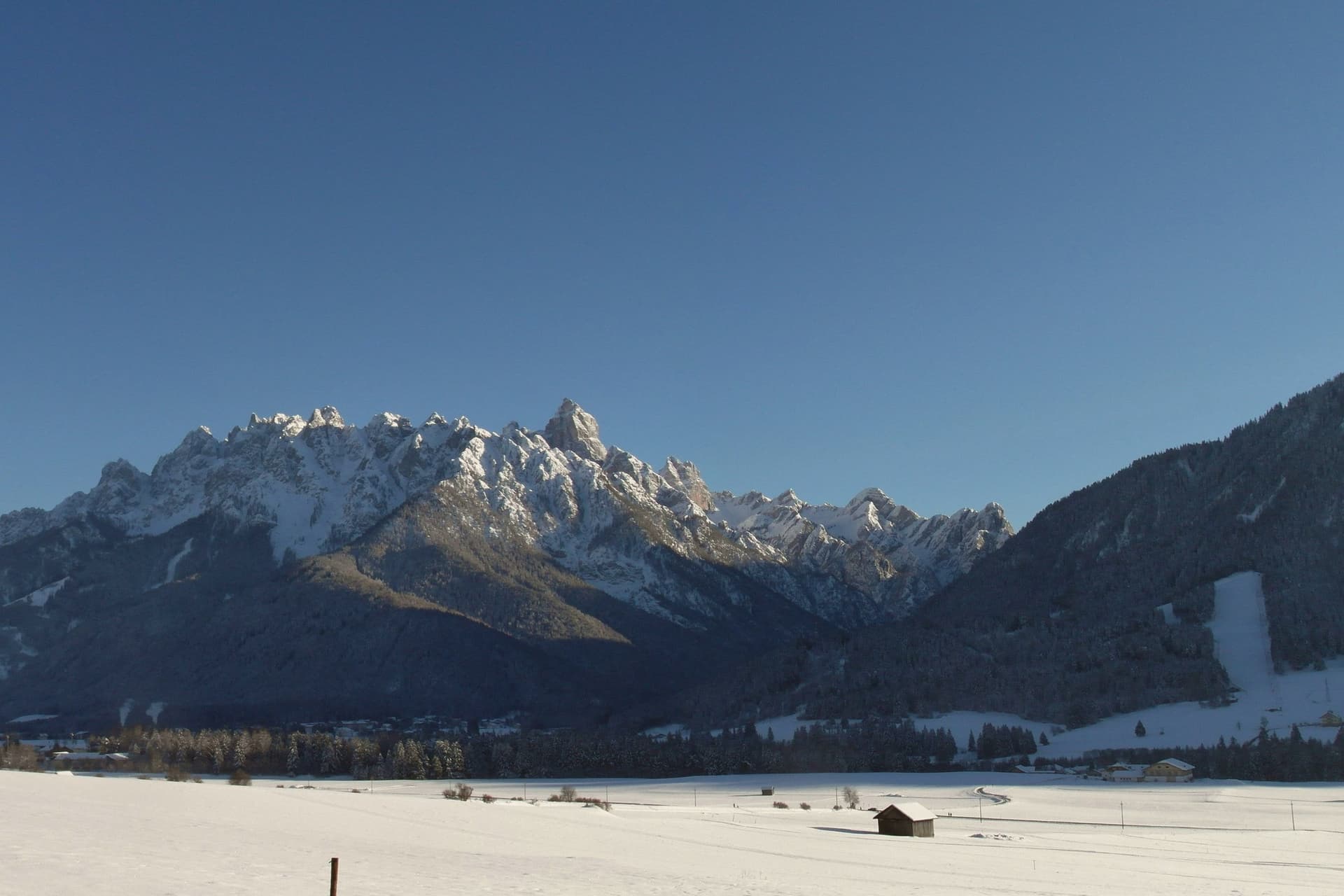
 The best hidden towns worth staying overnight in Trentino-Alto Adige/Südtirol7 towns, Kastelruth among them.
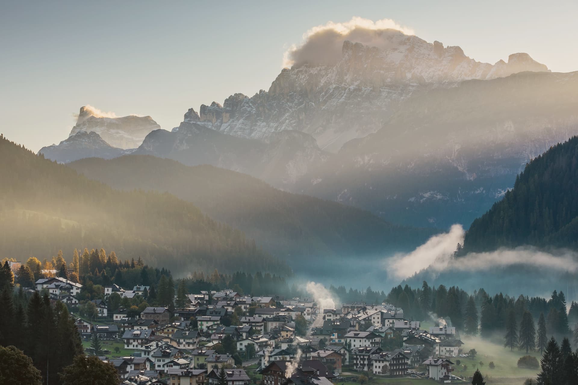
 The best ski towns that eat well in the province of Bolzano/Bozen7 towns, Kastelruth among them.
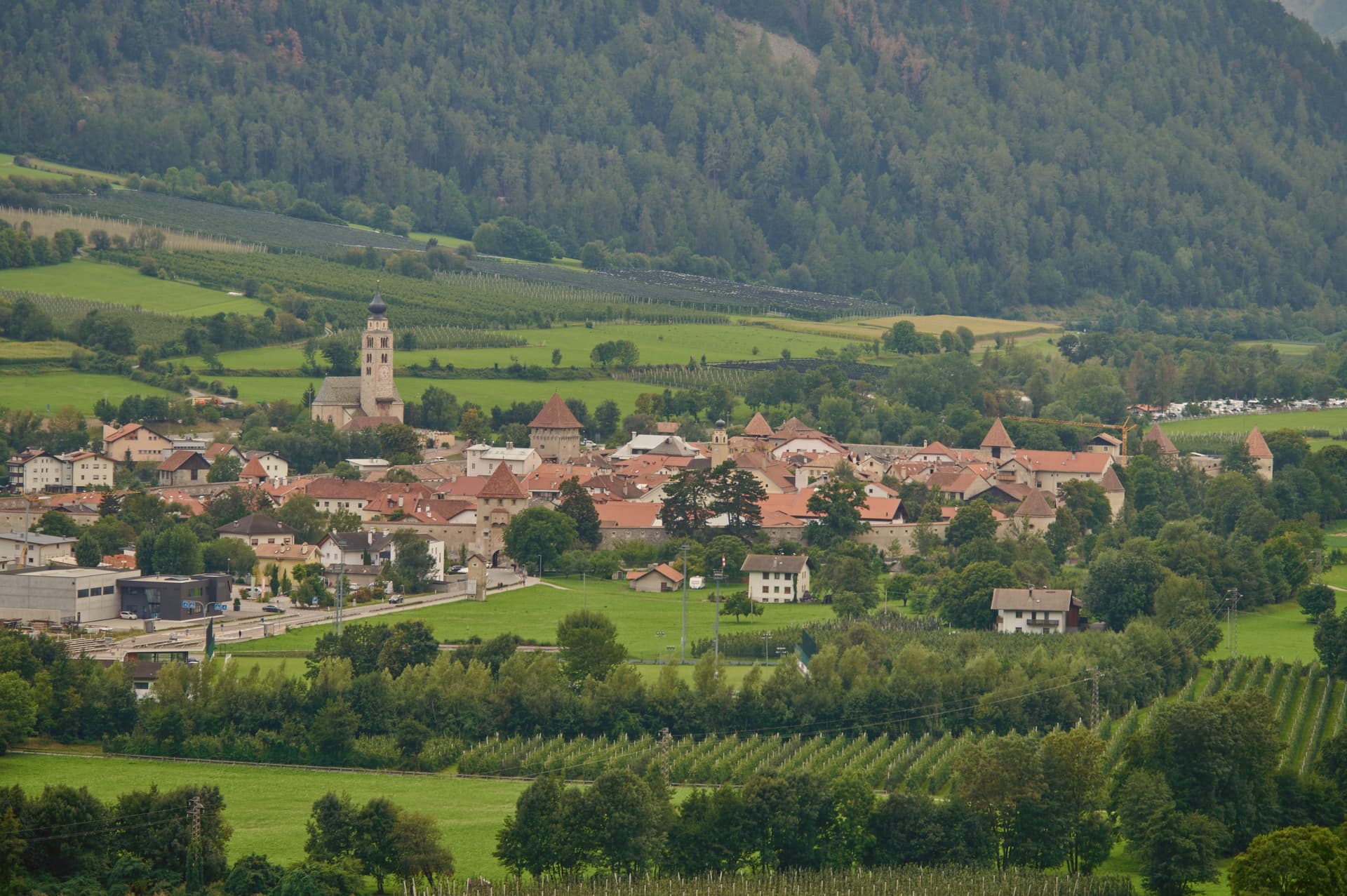
 The 8 best high-altitude villages within 90 minutes of Bolzano8 towns, Kastelruth among them.
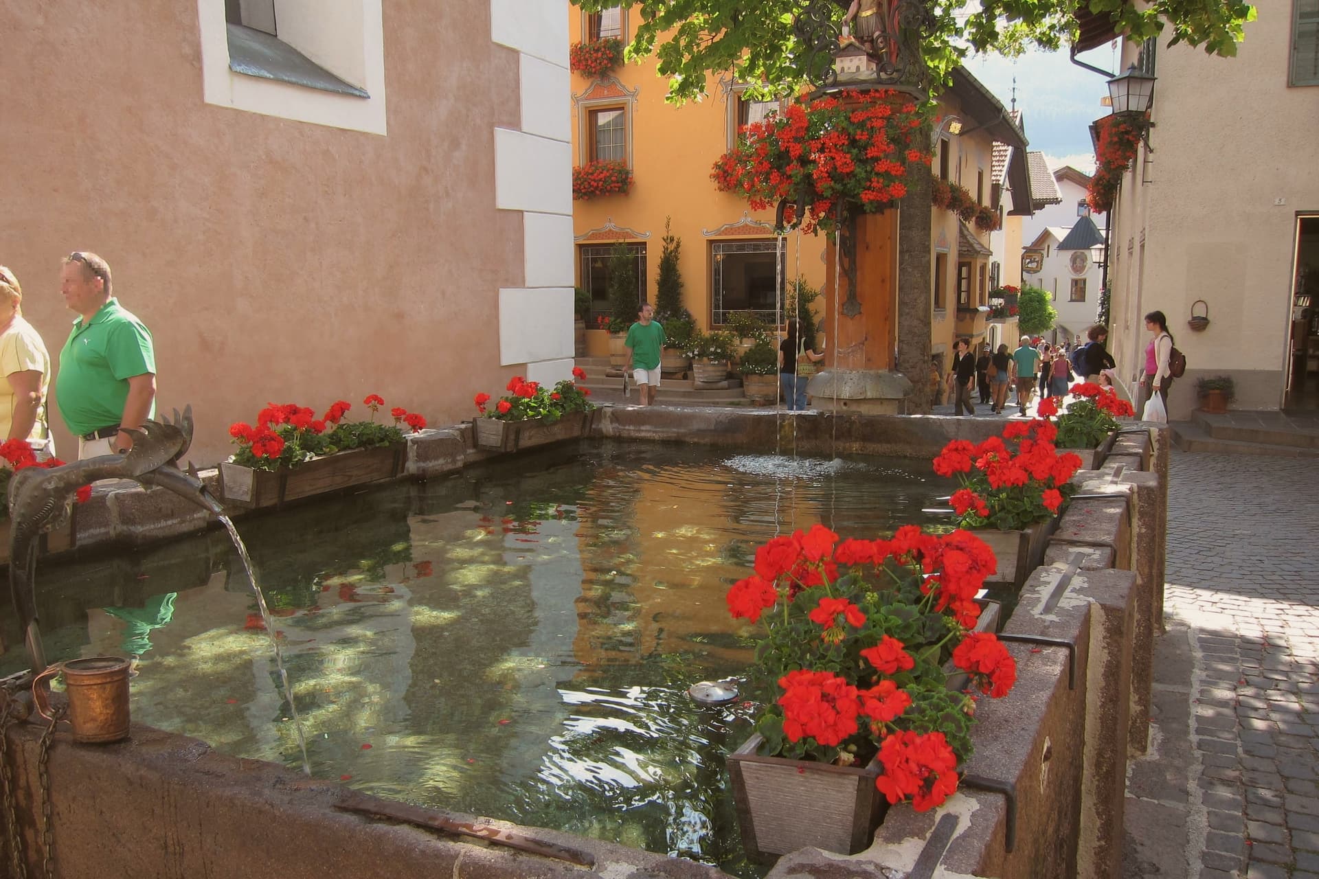
 The best mountain towns in the province of Bolzano/Bozen8 towns, Kastelruth among them.
How to get there
From Verona (VRN), about 2h 25m by car.
Milan (BGY) is about 3h 10m away.
By car from the centre of Bolzano 44 minutes or Trento 1h 19m.
Coming by train into Trento? Kastelruth is about 1h 19m away by road.
What to see
Campanile della Parrocchiale
Standing apart from the parish church of Saints Peter and Paul, the tower is visible from the surrounding pastures long before the village itself comes into view.
Chiesa Parrocchiale dei Santi Pietro e Paolo
Baroque interior beside the detached tower, the principal religious building of the commune since the medieval period.
Alpe di Siusi/Seiser Alm
Reached by cable car from Siusi, the meadow opens out with the Sciliar and Sassolungo on either side, a scale that is hard to read from photographs alone.
Chiesa di San Valentino
Small Gothic church standing alone in a meadow above the village, one of the most photographed views in South Tyrol with the Sciliar massif rising behind it.
Monte Calvario
Hill above the village square with a small chapel and views down to the centre, the site of the destroyed castle that gave the village its name.
Museo degli Spatzen
Gold records, costumes and instruments from a fifty-year touring career, housed on the square where the band's public presence in the village is still felt.
The slow-trip planner
Building a trip? Find where Kastelruth fits in a slow Italy circuit.
Answer five questions. We will shape a geographically coherent slow trip from the 1,000 Italian towns most travelers skip. Yours to save and share.
We recommend
Where to eat and stay
Not our picks, but places the guides put their name to: a Michelin star, a Gambero Rosso fork, a Slow Food snail, a Michelin Key for the hotels. Worth a table, a counter, or a night when you pass through.
Gostner SchwaigeTrattoria
Gostner Schwaige holds two Gambero Rosso prawns.
Lampl Stube dell'Hotel LammRistorante
Two Gambero Rosso forks (81/100), at Lampl Stube dell'Hotel Lamm.
COMO Alpina DolomitesHotel
COMO Alpina Dolomites has one Michelin Key to its name.
Living here
- Population 6,967
- In-betweeni
- Pharmacy in town
- Nearest airport Verona, 2 h 25 min drive
- Regional capital Bolzano, 44 min drive
Common questions
- What is Kastelruth known for?
- South Tyrolean village on a shelf below the Sciliar, eighty-two-metre bell tower over the square, home of the Kastelruther Spatzen.
- Where is Kastelruth?
- Kastelruth is a comune in the province of Bolzano, in Trentino-Alto Adige/Südtirol, at 1060 meters above sea level.
- What is the nearest airport to Kastelruth?
- Verona (VRN), about 2h 25m by car.
- How long is the drive from Bolzano to Kastelruth?
- About 44 minutes by car.
- When is the best time to visit Kastelruth?
- Best in Jun–Sep, Dec–Mar. July is the warmest month, averaging 24 degrees, and May the wettest, with about 18 rain days.
- Which other towns are like Kastelruth?
- St. Ulrich, Cavalese and Innichen.
- How many people live in Kastelruth?
- 6,967 at the 2023 count.
Tags & datadesignations · numbers · sources
Recognised as
The numbers
- Elevation: 1060 m
- Population: 6,967
- Surface area: 117.9 km²
These figures were compiled from public directories: ISTAT, OpenStreetMap and Wikidata, and from the official listings of the guides named on this page. Town details change; verify with official sources before you travel.
Similar
Towns like Kastelruth
St. Ulrich
Province: Bolzano
both high in the mountains · both between 3,000 and 10,000 people
Cavalese
Province: Trento
both high in the mountains · both between 3,000 and 10,000 people
Innichen
Province: Bolzano
both high in the mountains · both between 3,000 and 10,000 people
Toblach
Province: Bolzano
both high in the mountains · both between 3,000 and 10,000 people
Gangi
Province: Palermo
both high in the mountains · both between 3,000 and 10,000 people
Troina
Province: Enna
both high in the mountains · both between 3,000 and 10,000 people
🎨 Borghi più belli d'Italia
More Borghi più belli d'Italia towns in Trentino-Alto Adige/Südtirol
Bleggio Superiore
Province: Trento
A scattered Giudicarie commune whose hilltop hamlet of Rango holds the Christmas markets, with a Slow Food walnut grown on the terraces below.
Bondone
Province: Trento
A two-village commune above Lake Idro at the Lombard border, with a Lodron castle on the cliff between them.
Borgo Valsugana
Province: Trento
The valley town built on both banks of the Brenta in lower Valsugana, with a hilltop castle above and a contemporary art project in the side valley.
Caldes
Province: Trento
A scattered commune on the Noce, six hamlets gathered around a thirteenth-century tower-house castle that once belonged to the Thun family.
Glurns
Province: Bolzano
A ringed sixteenth-century circuit of walls encloses a city of 937 inhabitants near the Swiss border.