
The best towns with a food festival that you can reach by train in Lazio
Lazio eats by the calendar. Artichokes in late winter and spring, cherries and beans through early summer, then porcini, chestnuts, olive oil pressed in November and the first wine poured straight from the barrel in the piazza. The towns here are built from the ground they stand on, grey volcanic tufo in the north around the lakes, pale limestone in the hills towards Frosinone, and the sagra usually happens in a square enclosed by that same stone. Trestle tables, a queue for a paper plate, a band that starts late.
Most visitors to the region stay in Rome and eat inside the walls, which is understandable and also why Testaccio and Trastevere fill every evening of the year. The famous day trips run to Tivoli and the villas, or out to Ostia, and both are handled at scale, with coaches, timed entry and long lines for a coffee. Food in Rome is superb and thoroughly documented. It is also the version of Lazio that everyone has already read about.
The regional trains from Termini, Tiburtina and Ostiense keep going past all of that. They run north through the tufo country towards the lakes and Viterbo, and south-east along the old road into Ciociaria, and the towns on those lines hold their own festivals around a single ingredient, once a year, mostly for their neighbours. Fewer people go, and nobody needs a car to get there.
Of the 60 communes we have mapped in Lazio, 9 qualify as towns with a food festival you can reach by train: each holds a recurring food festival built around one local ingredient, and we have confirmed each is reachable without a car. The smallest, Oriolo Romano, has 3,702 residents.
Two more lists worth reading alongside this one: The best hill towns with a food festival in Lazio and The best towns you can reach by train within an hour of Rome.
Oriolo Romano
Why visit Oriolo Romano
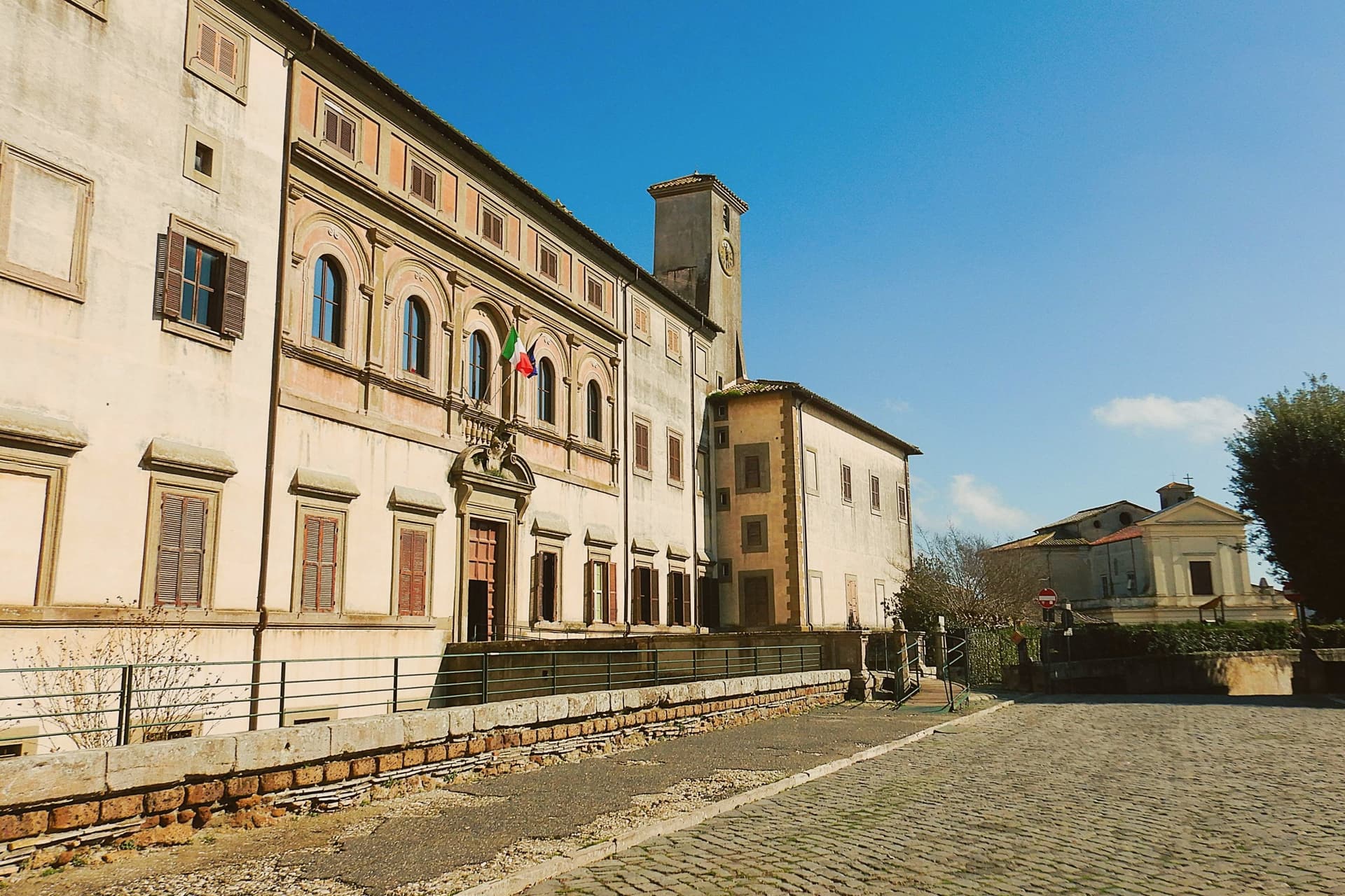
Oriolo Romano sits at 420 meters in the Sabatini hills, between Lake Bracciano and the volcanic Cimini, not far from the old Via Clodia. The village is unusually new for the Tuscia: in 1560 the Orsini family ceded a wooded fief to the nobleman Giorgio Santacroce, who began clearing the forest and founded a planned agricultural settlement.
The first inhabitants were farmers, shepherds and woodcutters drawn from Tuscany and Umbria, so the local accent kept Umbrian inflections for generations. The palace at the center of the village gave the settlement its shape, with the parish church and the main square arranged around it as the plan intended.
The forest that once covered the whole fief survives now at the margins, an exceptionally low-altitude stand for an Apennine beech wood, while hazelnut groves have taken over the lower slopes that were cleared for farming. The village, in effect, is the cleared half of a wooded fief, its cultivated ring still framed by the wood the Santacroce family left standing.
We confirmed you can reach this one by train.
What to see in Oriolo Romano
- Palazzo Altieri. Sixteenth-century palace enlarged in 1674 under Pope Clement X, with Old Testament frescoes and painted views of the Altieri fiefs.
- Faggeta di Monte Raschio. Primeval beech forest of about eighty hectares between 400 and 550 meters, UNESCO World Heritage since 2017.
- Piazza Umberto I. Central square of the 1560 plan, anchored by the palace and the parish Chiesa di Sant'Anna at the head of the village.
How to get to Oriolo Romano
There is a railway station in the town, so you can arrive without a car and never need one while you are here. Roma is roughly 75 minutes away by road.
Our tip
April through June and September into October are the months for the beech forest, when the canopy is full and the trails on Monte Raschio are at their cleanest. The exceptionally low altitude of the faggeta means autumn color arrives earlier and lasts longer than in higher Apennine beech woods. July and August push the lower hills into the low thirties; the forest holds shade and stays five or six degrees cooler than the surrounding farmland. Oriolo Romano Porcini Mushroom Festival falls in September.
Vitorchiano
Why visit Vitorchiano
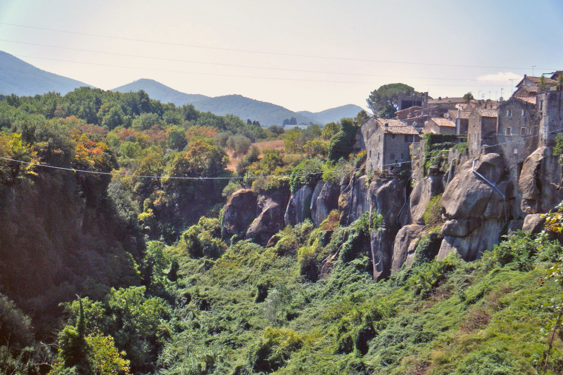
Vitorchiano sits at 285 meters on a single bank of peperino. Two ravines flank the town and meet at the Vezza torrent below, which is why the old center reads as an island of dark stone with the land falling away on both sides.
The quarries below the town are still working, and Vitorchiano peperino now ships to Canada, Japan and the Middle East, so the same rock that holds up the walls and staircases overhead also travels out from underneath the town in the other direction. The statue on the ridge was carved from a single block of that local stone by sculptors who came from the other side of the world to work it, which is its own kind of trade: peperino leaving Vitorchiano to be known abroad, and a foreign hand arriving to shape what stayed.
Above the rooftops, the Belvedere gives the wider frame the streets below cannot, the Cimini hills and the Tiber valley spread out past the ravine. Vitorchiano holds three institutional signals at once: Borghi più belli, Bandiera Arancione TCI, Città della Nocciola.
A small town, then, defined less by any one of its parts than by how completely the stone underneath it accounts for all of them.
We confirmed you can reach this one by train.
What to see in Vitorchiano
- Centro storico in peperino. Medieval old town cut from a single volcanic boulder, walls and houses built in dark Vitorchiano peperino quarried below.
- Moai di Vitorchiano. Six-meter peperino statue carved in 1990 by eleven sculptors of the Atan family from Easter Island, the only true Moai outside Rapa Nui.
- Belvedere. Cliff-edge terrace at the eastern end of the borgo, view across the Vezza ravine to the Cimini hills and the Tiber valley.
How to get to Vitorchiano
There is a railway station in the town, so you can arrive without a car and never need one while you are here. Terni is roughly 53 minutes away by road.
Our tip
April through June brings the Cimini hills into green and Vitorchiano into clear light, the peperino dark against new leaves. September and October are the harvest months for hazelnuts and the calmest period in the borgo. July and August touch the mid-thirties; the centro storico empties between two and five in the afternoon. Sagra del Cavatello falls in July.
Arpino
Why visit Arpino
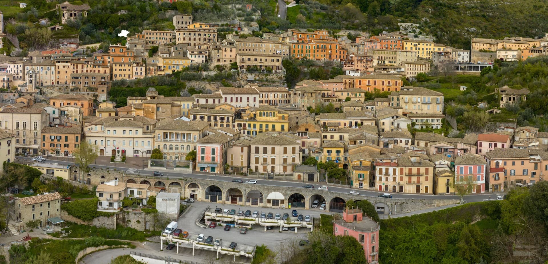
Arpino sits at 450 meters on two hills in the Liri valley, in the Ciociaria region of southern Lazio. The ancient city of Arpinum, on the upper hill now called Civitavecchia, was a Volscian-Samnite stronghold captured by Rome in 305 BC.
The lower hill is the medieval and modern town. Two Roman consuls were born here: Gaius Marius, the military reformer who fought the Cimbri and Teutones, and Marcus Tullius Cicero, the orator and senator killed in 43 BC.
The villa where Cicero was born stood just north, on the Liri, in what is now Isola del Liri. The upper acropolis is ringed by polygonal cyclopean walls of the sixth or fifth century BC, with the Arco a Sesto Acuto, a pointed-arch gate cut into the same stone work.
Arpino is on the Bandiere Arancioni list and on the Cammino di San Benedetto, the long pilgrim route from Norcia to Montecassino.
We confirmed you can reach this one by train.
What to see in Arpino
- Acropoli di Civitavecchia. Pre-Roman upper city on the hill above modern Arpino, surrounded by cyclopean polygonal walls of the sixth or fifth century BC.
- Arco a Sesto Acuto. Pointed-arch gate cut into the cyclopean walls of the acropolis, the only known pre-Roman ogival arch in central Italy.
- Torre di Cicerone. Medieval tower on the acropolis, traditionally linked to Cicero by local memory though built more than a thousand years after his death.
How to get to Arpino
There is a railway station in the town, so you can arrive without a car and never need one while you are here. Latina is roughly 94 minutes away by road.
Our tip
April through June and September through October are the strong months. Spring brings green hills along the Liri and clear views from the acropolis; autumn is dry and gold. July and August push past thirty degrees in the valley, although Arpino's 450-meter position offers some relief in the upper town. Il Gonfalone falls in July.
Castelnuovo di Porto
Why visit Castelnuovo di Porto
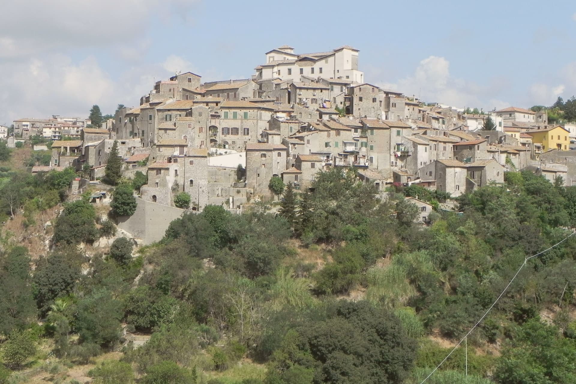
Castelnuovo di Porto sits at 250 meters on a tufa spur between the Chiarano and Mola valleys. The first fortification went up before the year 1000 under the senator Alberico, and the medieval village grew around it in concentric loops that still shape the centro storico today.
The Colonna family took the fief in the late Middle Ages and built the fortress that occupies the highest point of the ridge, the keep from which the whole settlement takes its layout, houses and passages stepping down the slope in rings. The town's name preserves its administrative link to the river: this was the Castrum Novum of the bishop of Porto, the old diocesan seat at the Tiber mouth, a naming that ties a tufa hilltop village to an ecclesiastical authority seated on the coast.
The Borghi più belli d'Italia membership covers the centro storico and the fortress together, while Etruscan and Roman archaeology runs through the Veio park that surrounds both. The result is a village whose name records a bishop's jurisdiction, whose form records a medieval defense, and whose surroundings record two much older civilizations, all still legible on the same ridge.
We confirmed you can reach this one by train.
What to see in Castelnuovo di Porto
- Rocca Colonna. Ducal palace inside the keep at the highest point of the ridge, used by Marcantonio Colonna after Lepanto and later by Christina of Sweden passing through to Rome.
- Centro storico. Tufa houses and vaulted passages along the concentric loops, with the surviving village gates still marking the old perimeter.
- Chiesa di Santa Lucia. Parish church inside the walls, with Renaissance frescoes and a baptismal font dating to the period of the fortress above it.
How to get to Castelnuovo di Porto
There is a railway station in the town, so you can arrive without a car and never need one while you are here. Roma is roughly 37 minutes away by road.
Our tip
April through June and September through October are the strongest months. The Tiber valley is green in spring and the rocca terraces open cleanest at low sun. July and August touch the upper thirties; the centro storico stays cooler than Rome twenty-five kilometers downhill but the Veio park trails go silent in midday heat. Sagra Degli Gnocchi A Castelnuovo Di Porto falls in September.
Anguillara Sabazia
Why visit Anguillara Sabazia
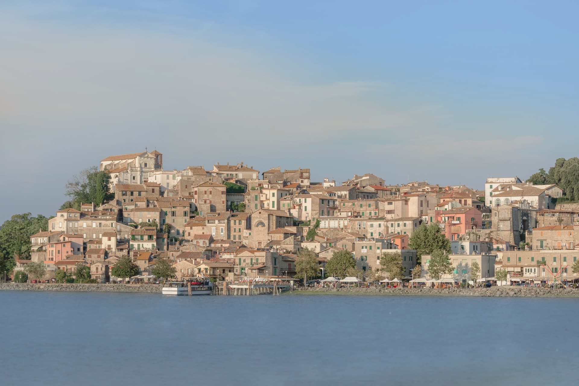
Anguillara Sabazia sits on a small volcanic cape that pushes into Lake Bracciano from the southern shore, twenty-five kilometers northwest of Rome. The medieval town climbs from the lake on stepped streets to the Porta Maggiore and the Collegiata di Santa Maria Assunta at the top.
The setting is older than the medieval town: La Marmotta, a few hundred meters offshore from the cape, is one of the oldest underwater archaeological sites in Europe, an Early Neolithic lakeshore village dated to 5700 BC, with preserved wooden canoes and grain stores in the lakebed mud. The Romans came later: Rutilia Polla, a Roman patrician, owned a villa on the cape in the first century BC, and the modern town name carries the surname of the medieval Anguillara family who took the place after the empire.
Anguillara is one of three communes on Lake Bracciano with Bracciano and Trevignano, and it is the closest to Rome of the three.
We confirmed you can reach this one by train.
What to see in Anguillara Sabazia
- Porta Maggiore e centro storico. Medieval gate and stepped town climbing from the lakefront on the volcanic cape, with stone streets converging on the upper piazza.
- Collegiata di Santa Maria Assunta. Main church at the top of the cape, rebuilt in the sixteenth century on earlier foundations, with views over the lake from the parvis.
- Lungolago e cape. Lakefront promenade and small beaches along the cape, with views east to Trevignano and west to Bracciano across the volcanic basin.
How to get to Anguillara Sabazia
There is a railway station in the town, so you can arrive without a car and never need one while you are here. Roma is roughly 50 minutes away by road.
Our tip
April through June and September through October are the strong months. The cape is exposed and the wind off the lake keeps the temperature mild even in warm weeks. July and August are hot, around thirty degrees, and the lakefront fills on weekends with Romans driving up for a swim and grilled coregone. Sagra delle Pizzòle falls in August.
Anagni
Why visit Anagni
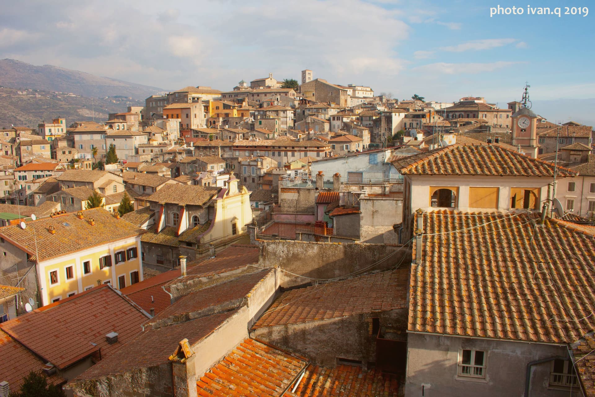
Anagni sits on a hilltop at 424 meters in Ciociaria, fifty-five kilometers southeast of Rome, looking over the Sacco valley and the Hernici mountains. It is one of four communes called the Città dei Papi, the others being Segni, Ferentino, and Veroli; four medieval popes were born here, Innocent III, Gregory IX, Alexander IV, and a fourth who would later be attacked in his own palace.
Agents of Philip IV of France, acting on his orders, stormed that palace on the hill and physically assaulted the reigning pope inside it. The centralized medieval papacy died with him within the month, and within five years the papal court had moved to Avignon.
The town's medieval fabric runs along Via Vittorio Emanuele, where the communal loggia, a frescoed church, and a house layered with nineteenth-century inscriptions sit within walking distance of each other on the same climb up from the lower town to the cathedral above. A single event inside a single palace on this hill is the reason the town's name outgrew its size: four popes were born here, but it is one pope's injury, not birth, that historians still date the end of an era to.
We confirmed you can reach this one by train.
What to see in Anagni
- Cattedrale di Santa Maria. Romanesque cathedral on the highest point of the hill, with Gothic additions, a campanile, and a Cosmati pavement underfoot.
- Cripta di San Magno. The crypt beneath the cathedral floor, walls covered edge to edge in painting, dim enough that the colors need a moment to settle into view.
- Palazzo di Bonifacio VIII. The papal palace where Sciarra Colonna struck Boniface VIII during the Outrage of Anagni, its thirteenth-century rooms still standing on the hill.
How to get to Anagni
There is a railway station in the town, so you can arrive without a car and never need one while you are here. Roma is roughly 55 minutes away by road.
Our tip
April through June and September through October are the strong months. The hilltop position keeps Anagni cooler than the Sacco valley below, and the cathedral and crypt are best seen in the soft light of spring and autumn. July and August push past thirty-two degrees and the centro storico empties between two and five in the afternoon. Sagra dei Maltagliati falls in July.
Cerveteri
Why visit Cerveteri
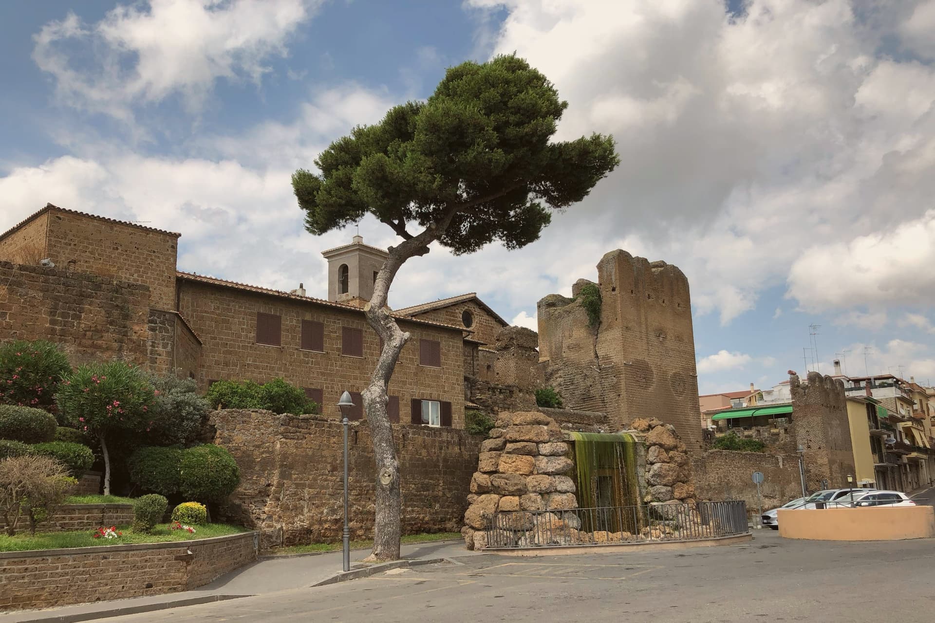
Cerveteri sits on a tufa outcrop at 81 meters above the coastal plain, seven kilometers inland from the Tyrrhenian and thirty-five northwest of Rome. The Etruscans called it Caisra, the Greeks Agylla, the Romans Caere; at its height around 600 BC it covered fifteen times the area of the modern town and held an estimated 25,000 to 40,000 people, the equal of Tarquinia at the peak of Etruscan power.
The medieval town inherited the central plateau and was renamed Caere Vetus, the Old Caere, to distinguish it from the coastal Caere Novum that no longer exists. The Castello Ruspoli at the centre of the medieval town encloses sections of fourth-century BC Etruscan walls in its base.
Two kilometers north, the Banditaccia necropolis covers 400 hectares of which 10 are visitable, with around 1,000 rock-cut tombs and the great earth tumuli that gave Etruscan funerary architecture its most concentrated expression. It joined the UNESCO list with Tarquinia in 2004.
We confirmed you can reach this one by train.
What to see in Cerveteri
- Necropoli della Banditaccia. UNESCO Etruscan necropolis 2 km north of town, covering 400 hectares with around 1,000 tombs and the great earth tumuli that defined Etruscan funerary architecture.
- Museo Nazionale Cerite. National Etruscan museum inside the Castello Ruspoli, with sarcophagi, ceramics and grave goods recovered from the Banditaccia tombs.
- Castello Ruspoli. Medieval Orsini-Ruspoli fortress at the centre of the old town, with fourth-century BC Etruscan walls preserved in its base.
How to get to Cerveteri
There is a railway station in the town, so you can arrive without a car and never need one while you are here. Roma is roughly 50 minutes away by road.
Our tip
May through September is the strongest window. The Banditaccia tumuli need open ground and clear weather; April and October are workable but rain blurs the rock-cut interiors. Summer crowds concentrate on the coastal section of the comune around Marina di Cerveteri and Cerenova, leaving the necropolis quieter than the dates would suggest. Festa della Birra falls in August.
Velletri
Why visit Velletri
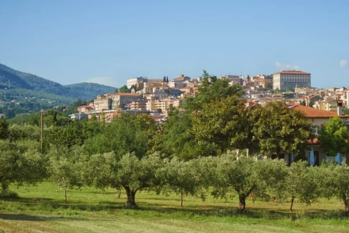
The town sits at 332 meters, thirty-five kilometers from Rome, on the southeastern rim of a volcanic ring of craters and lakes. Before it was a papal possession and a diocesan seat, it was a Volscian stronghold, and before that the home ground of the Octavii, the paternal family of the man who became Augustus: Suetonius records a street here called Octavian and an altar consecrated by an Octavius, and the future emperor passed his childhood in the town under its old name, Velitrae.
That layering, Volscian settlement, imperial family seat, papal diocese, is what the center still shows once the war is accounted for: an army broke through a German defensive line here in May 1944, and much of the town was destroyed in the process. What stands now above the old piazza and around the rebuilt town hall is largely reconstruction fitted around what survived, with a wine trade going back to the volcanic soil that predates all of it.
A town whose name changed twice, whose family produced an emperor, and whose center was rebuilt from a battle line, but whose vineyards on the same slopes never stopped being the constant.
We confirmed you can reach this one by train.
What to see in Velletri
- Torre del Trivio. 50-meter Romanesque bell tower from the 14th century, the only structure to come through the 1944 bombing intact, still the shape by which the town is recognized from a distance.
- Palazzo Comunale. Renaissance town hall designed by Giacomo Della Porta, rebuilt after wartime damage, facing the piazza named for the emperor born to the town.
- Cattedrale di San Clemente. Cathedral seat of the suburbicarian Diocese of Velletri-Segni, a title held today by the Dean of the College of Cardinals.
How to get to Velletri
There is a railway station in the town, so you can arrive without a car and never need one while you are here. Latina is roughly 35 minutes away by road.
Our tip
April through June brings the Alban Hills at their greenest, vineyards in leaf, and mild evenings on the piazzas. September and October are the wine months: the Festa dell'Uva, one of the oldest grape festivals in Italy, runs in the first week of September. July and August are hot in the lower town and at their best after sunset, when the volcanic slopes hold the breeze. Calici sotto le stelle falls in August.
Viterbo
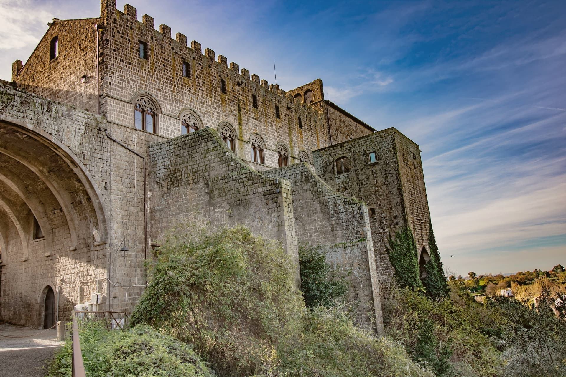
Why visit Viterbo
Viterbo sits at 326 meters in the Tuscia, surrounded by the volcanic Cimini hills and the thermal springs the Etruscans and Romans already used. The city became the favourite papal residence under Eugene III in the twelfth century; between 1257 and 1281, five popes were elected here, and the conclave of 1268-1271 ran nearly three years, the longest in Church history.
To end it, the city's people locked the cardinals inside the Palazzo dei Papi, tore the roof off, and reduced their rations. The decisive conclave is still the reason the word means a place under lock and key.
The San Pellegrino quarter is the largest continuous medieval district in central Italy, with profferli, the external stone staircases that climb to first-floor doorways. The Terme dei Papi outside the walls still draws sulfur-water bathers.
On 3 September the Macchina di Santa Rosa, a thirty-meter illuminated tower weighing five tons, is carried through the streets by a hundred Facchini, a tradition listed by UNESCO since 2013.
We confirmed you can reach this one by train.
What to see in Viterbo
- Palazzo dei Papi. Thirteenth-century papal palace with Gothic loggia and the Sala del Conclave, where the 1268-1271 conclave ran for nearly three years.
- Quartiere San Pellegrino. Largest continuous medieval quarter in central Italy, with stone profferli staircases, towers and the Piazza San Pellegrino.
- Terme dei Papi. Thermal complex outside the walls, fed by sulfur springs used since Etruscan times and named for the medieval popes.
How to get to Viterbo
There is a railway station in the town, so you can arrive without a car and never need one while you are here. Terni is roughly 58 minutes away by road.
Our tip
Viterbo works as a year-round destination because of the thermal springs. April through June and September into October give the easiest combination of clear weather, open monuments and warm pool water. July and August push the medieval quarter into the mid-thirties; the Macchina di Santa Rosa on 3 September is the single largest event in the calendar and the streets stay packed for the night. Festa Medievale Ludika 1243 a Viterbo falls in July.
More from Anywhere Italy
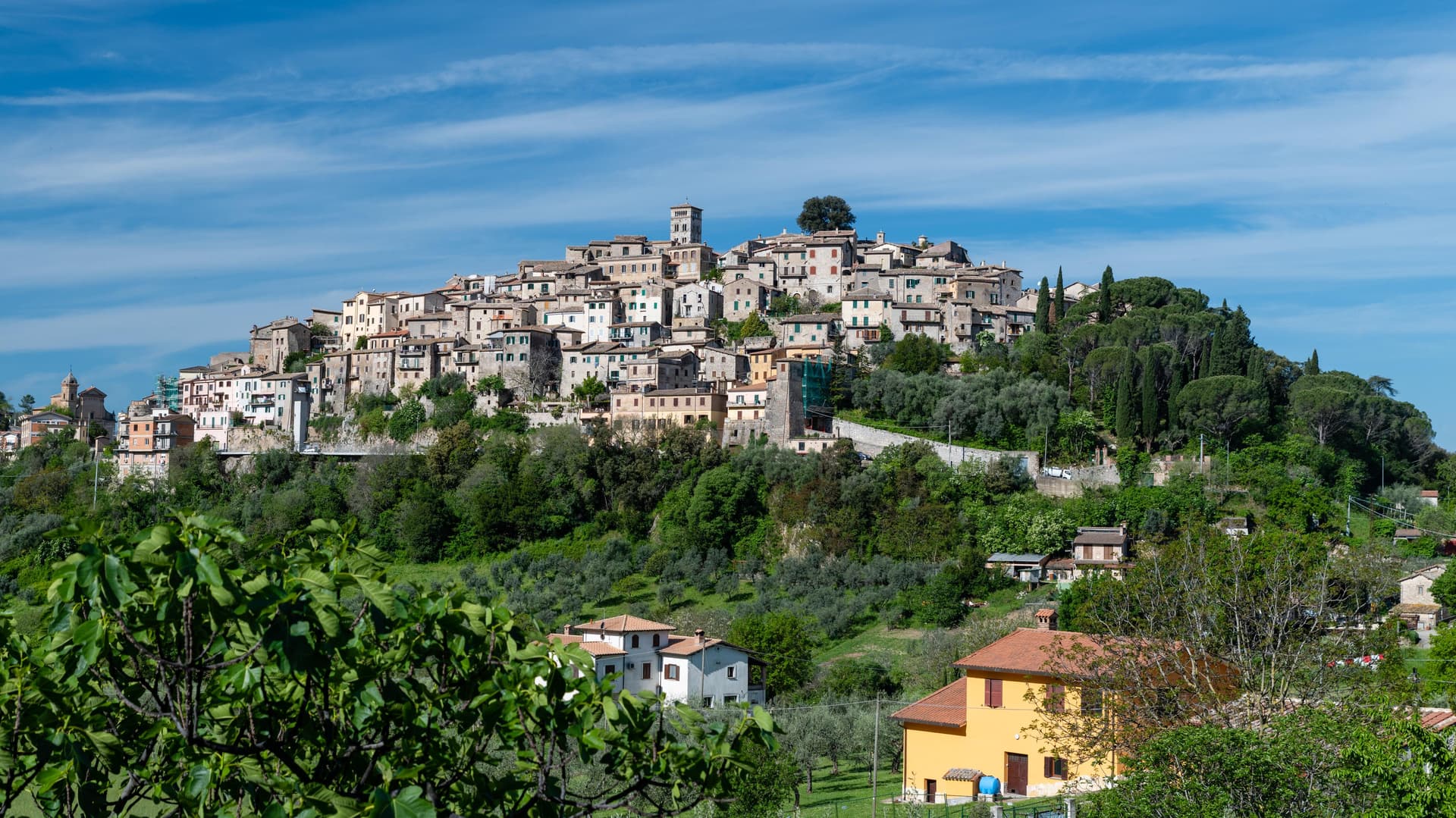 The best hill towns with a food festival in Lazio
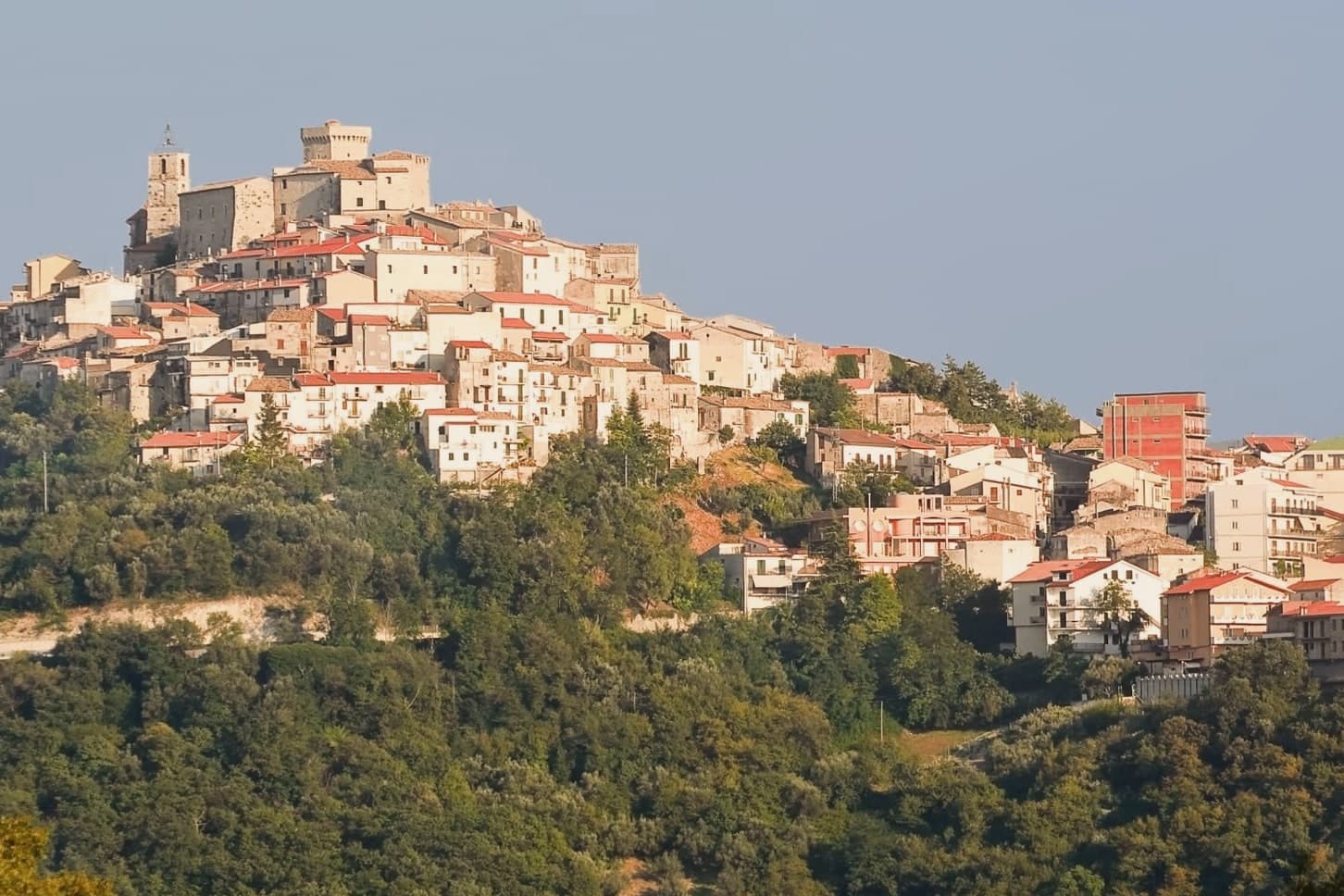 The best towns you can reach by train within an hour of Rome
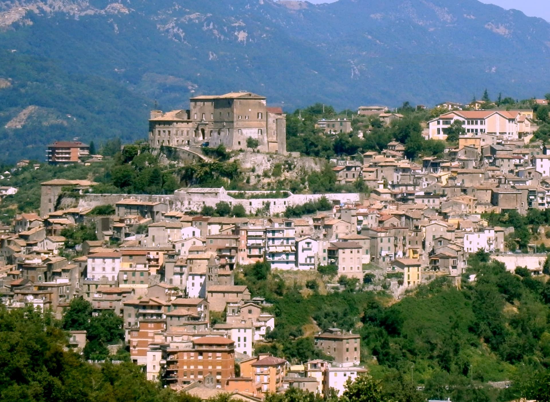 The best towns you can reach by train in the province of Roma
 The best hill towns inside a nature park in Lazio
- The best hill towns you can reach by train within 90 minutes of Roma
 The best towns you can reach by train in the province of Viterbo