
The best towns in Molise you can reach without a car
Molise is the second smallest region in Italy and the least visited by a wide margin. It is mountains in the west, a short strip of Adriatic in the east, and between them a landscape of sheep tracks that have been walked since before the Romans, connecting Roman towns most people have never heard of. There is a full Roman city here with its walls, gates and forum standing in a field, and on most days you will have it to yourself.
The reason nobody goes is the getting there. Molise has no airport and the guidebooks assume a hire car, which puts the whole region behind a rental desk.
It is not actually true. The Adriatic line runs along the coast and a slow inland railway climbs into the hills, and there are towns on both with a station close enough to walk from.
Of the 27 Molisan communes in our catalogue, these are the ones we confirmed are reachable by train, all under 15,000 residents. The smallest, Macchiagodena, has 1,648 residents at 868 metres. A town missing from this list may still have a station we have not mapped.
If you are still choosing, we have also written The best towns you can reach by train in the province of Campobasso and The best hidden olive oil towns in Molise.
Macchiagodena
Why visit Macchiagodena
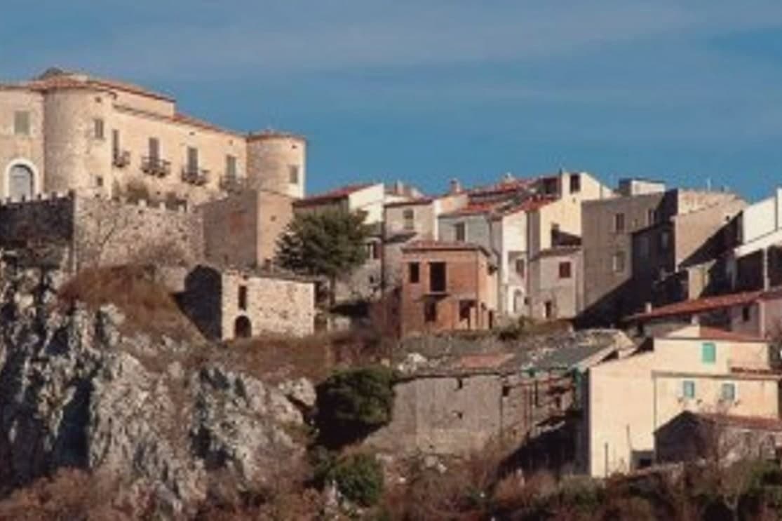
The town sits 22 km east of Isernia along the SS17 toward Boiano, in the central Apennines, where oak-and-beech forest surrounding the settlement produces Tuber magnatum (Italian white truffle) and Tuber aestivum (summer black) on a commercial scale. That forest is the reason for almost everything else: the trifolau economy, the November market, the restaurants that build menus around tagliatelle and uova with truffle shaved over them.
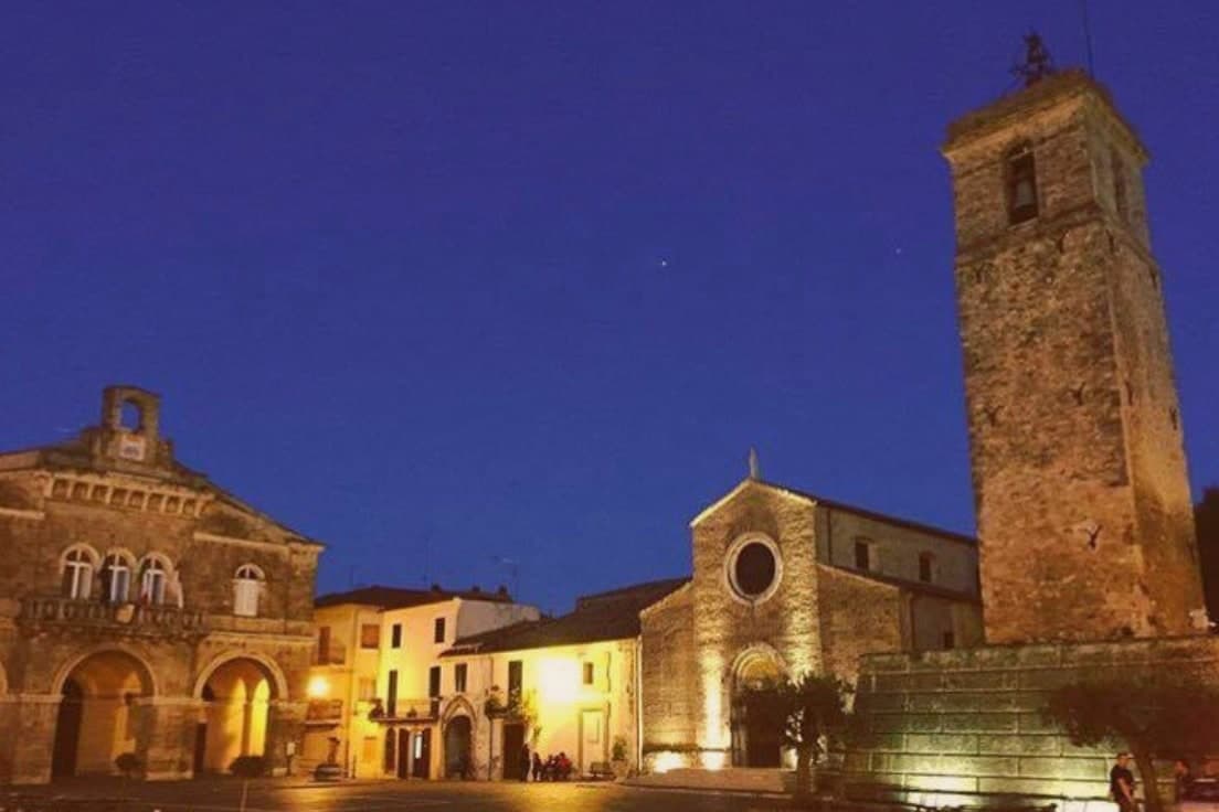
The medieval centro, stone-paved and largely intact, climbs to the castle at its high point, and the Belvedere looks out from there over the same wooded valleys that supply the truffle hunters below. The Chiesa di San Nicola di Bari, rebuilt in the 18th century after the 1805 earthquake, sits within this old core rather than apart from it.
Beyond the town, the ground rises further south toward the Matese, a limestone massif reaching 2,050m, reachable on foot along the trail network into its upland karst plateaux and the Lago del Matese. The food follows the terrain: pasta alla chitarra with truffle, caciocavallo and treccia stretched cheeses, lamb scottadito, and the Tintilia red, a DOC Molise grape indigenous to these hills.
The Festa di San Antonio Abate on 17 January keeps a pig-blessing and bonfires as its calendar anchor outside the truffle season. Population has fallen from 2,800 in 1951 to 1,648 today, the same depopulation pattern found across Molise's mountain villages, and it is against that decline that the truffle trade, the market, and the two quality designations read as the town's working answer: a small place still organised around what its forest produces and what its center has kept intact.
We confirmed you can reach this one by train.
What to see in Macchiagodena
- Mostra Mercato del Tartufo Bianco (last weekend November). 30+ local trifolau bring their finds to the central piazza. Restaurants serve Molise white truffle on tagliatelle + uova. Italian truffle buyers from Alba + Norcia come to source.
- Castello dei Pignatelli. Anchors the high point of the medieval centro. Partial visits are possible, and the view opens across the wooded Apennine valleys from the walls.
- Active trifolau community + lagotto dogs. 30+ working truffle hunters with their lagotto romagnolo dogs working the surrounding oak-and-beech forests. Guided truffle hunts available October-March.
How to get to Macchiagodena
There is a railway station in the town, so you can arrive without a car and never need one while you are here. Napoli is roughly 121 minutes away by road.
Our tip
Macchiagodena is mountain-seasonal — May through October is the sweet spot for visiting the borgo + castle, but the truffle season is the actual year-round draw: white truffle (Tuber magnatum) October-December, summer black (Tuber aestivum) May-August. The Mostra Mercato del Tartufo Bianco (last weekend November) is the headline event. Winter is severely cold at 868m — services minimal, bring food/water.
Sepino
Why visit Sepino
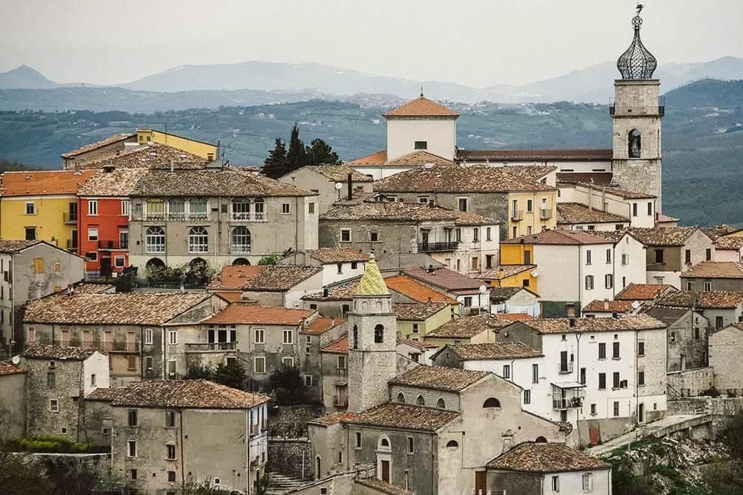
Sepino sits at 698 meters on a slope of the Matese in southern Molise, the modern village two kilometers above the Roman Saepinum-Altilia on the plain. Saepinum was Samnite first, captured by Rome in 293 BC, and given its surviving walls by Tiberius between 2 BC and 4 AD.
Twelve hectares of forum, basilica, baths, theatre and four monumental gates are still standing, immersed in the open countryside at the foot of the Matese; recent excavations in 2023 uncovered a monumental domus on the decumanus maximus. The Pescasseroli-Candela tratturo, the 211-kilometer transhumance route that once moved sheep flocks from Abruzzo to Puglia, ran through the Roman town and shaped its street grid.
The modern Sepino, above on the hillside, is a Borghi più belli; the archaeological park below is one of the best-preserved Roman cities in central Italy and one of the few in continuous open-air access.
We confirmed you can reach this one by train.
What to see in Sepino
- Saepinum-Altilia. Twelve-hectare Roman city on the plain below the modern village, with walls built by Tiberius and forum, basilica, baths and theatre still standing.
- Teatro di Saepinum. Roman theatre at the south end of the archaeological park, partly absorbed into a later farm complex that grew up around its arc.
- Tratturo Pescasseroli-Candela. Ancient sheep-track from Abruzzo to Puglia that ran straight through Saepinum and shaped its street grid; still walkable across the site.
How to get to Sepino
There is a railway station in the town, so you can arrive without a car and never need one while you are here. Foggia is roughly 112 minutes away by road.
Our tip
May through October is the open season for Sepino. The archaeological park of Saepinum on the plain is open year-round but its best months are May, June, September and October, when the light is long, the heat is bearable and the Matese is green behind the columns. July and August cross thirty degrees on the plain and the ruins are crowded with summer school trips.
Petacciato
Why visit Petacciato
Petacciato stands at 225 meters on the last ridge before the Adriatic, with the Tremiti islands offshore and the Maiella visible to the north and the Gargano to the south on clear days. The centro storico keeps its medieval shape around the Chiesa di Santa Maria, built in tuff and sandstone between the eleventh and thirteenth centuries, originally dedicated to San Rocco and still holding three naves with three altars.
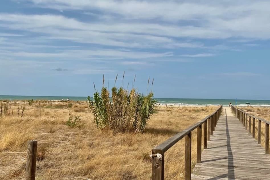
The Marina di Petacciato, a few kilometers below the village, runs a long sand beach lined with pine, with low dunes and shallow water that draws Italian families in July and August. The hills above produce the olive oil that earned the Città dell'Olio designation.
Petacciato was one of the lower-Molise villages Serafino Razzi listed in his sixteenth-century chronicle of Slav-founded communities, though the visible record today is Italian Romanesque and twentieth-century coastal.
We confirmed you can reach this one by train.
What to see in Petacciato
- Chiesa di Santa Maria (già San Rocco). Romanesque church in tuff and sandstone, built between the eleventh and thirteenth centuries, with three naves and three altars.
- Centro storico. Medieval ridge village around the old church, with stone houses and the long Adriatic view east.
- Marina di Petacciato. Long sand beach below the village, pine-backed and low-duned, the main summer draw.
How to get to Petacciato
There is a railway station in the town, so you can arrive without a car and never need one while you are here. Pescara is roughly 83 minutes away by road.
Our tip
May through September is the working coast. June gives the cleanest water before the families arrive; July and August fill the Marina di Petacciato with the lower Adriatic crowd. The ridge village above stays a few degrees cooler than the beach and is the night-time refuge in August.
Guglionesi
Why visit Guglionesi
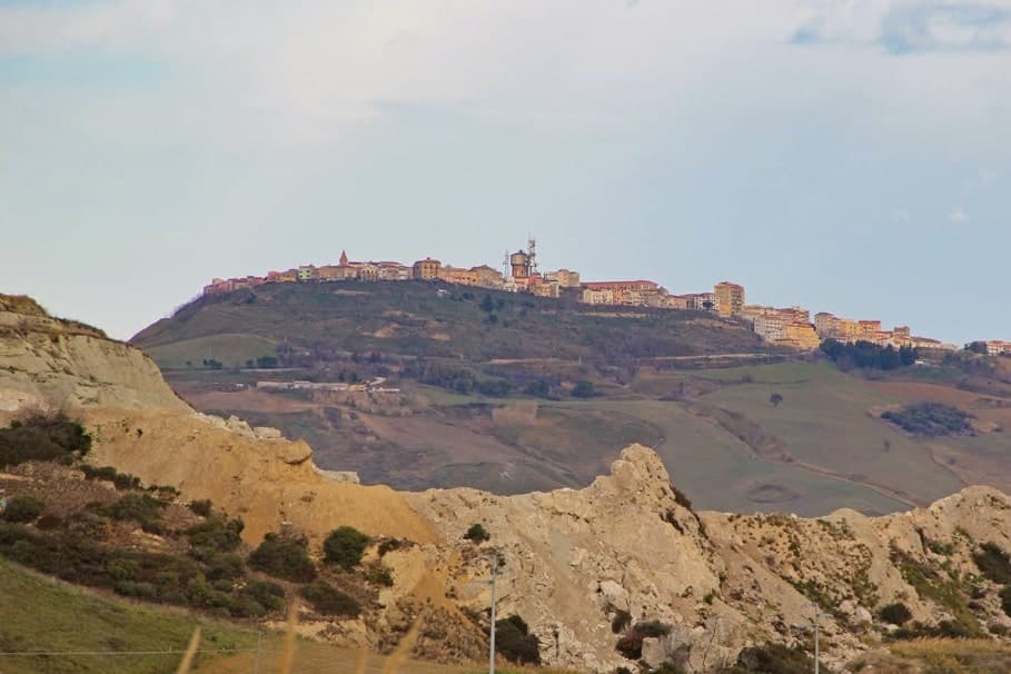
Guglionesi sits on a 369-meter ridge between the Biferno and Trigno valleys, halfway between the Adriatic coast and the inland hills of Molise. The Frentani founded the place in the fifth century BC, under the name Uscosium, and it was one of their principal centres before Rome absorbed the confederation.
In the sixteenth century the Dominican Serafino Razzi listed Guglionesi alongside the Slav-founded villages of lower Molise; he also recorded that Brother Serafino led the local defence against an Ottoman raid led by Sulayman at the city walls. The Romanesque Chiesa di San Nicola di Bari and the Collegiata di Santa Maria Maggiore are the medieval anchors of the centro storico; the latter goes back to the twelfth century and holds the relics of the abate Sant'Adamo.
The hills produce olive oil good enough for the Città dell'Olio designation, and on a clear afternoon you can see the Tremiti islands offshore.
We confirmed you can reach this one by train.
What to see in Guglionesi
- Collegiata di Santa Maria Maggiore. Collegiate church with twelfth-century origins, reworked in the eighteenth century in Baroque style; holds the relics of Sant'Adamo Abate.
- Chiesa di San Nicola di Bari. Romanesque church in the centro storico, the oldest documented religious building in the town.
- Centro storico. Stone old town along the ridge, with city walls Brother Serafino is recorded as defending against an Ottoman raid in the sixteenth century.
How to get to Guglionesi
There is a railway station in the town, so you can arrive without a car and never need one while you are here. Foggia is roughly 82 minutes away by road.
Our tip
April through October is the working window. Spring greens the valleys and brings the long Adriatic views back into focus. June and September are the calmest months for the centro storico.
Montenero di Bisaccia
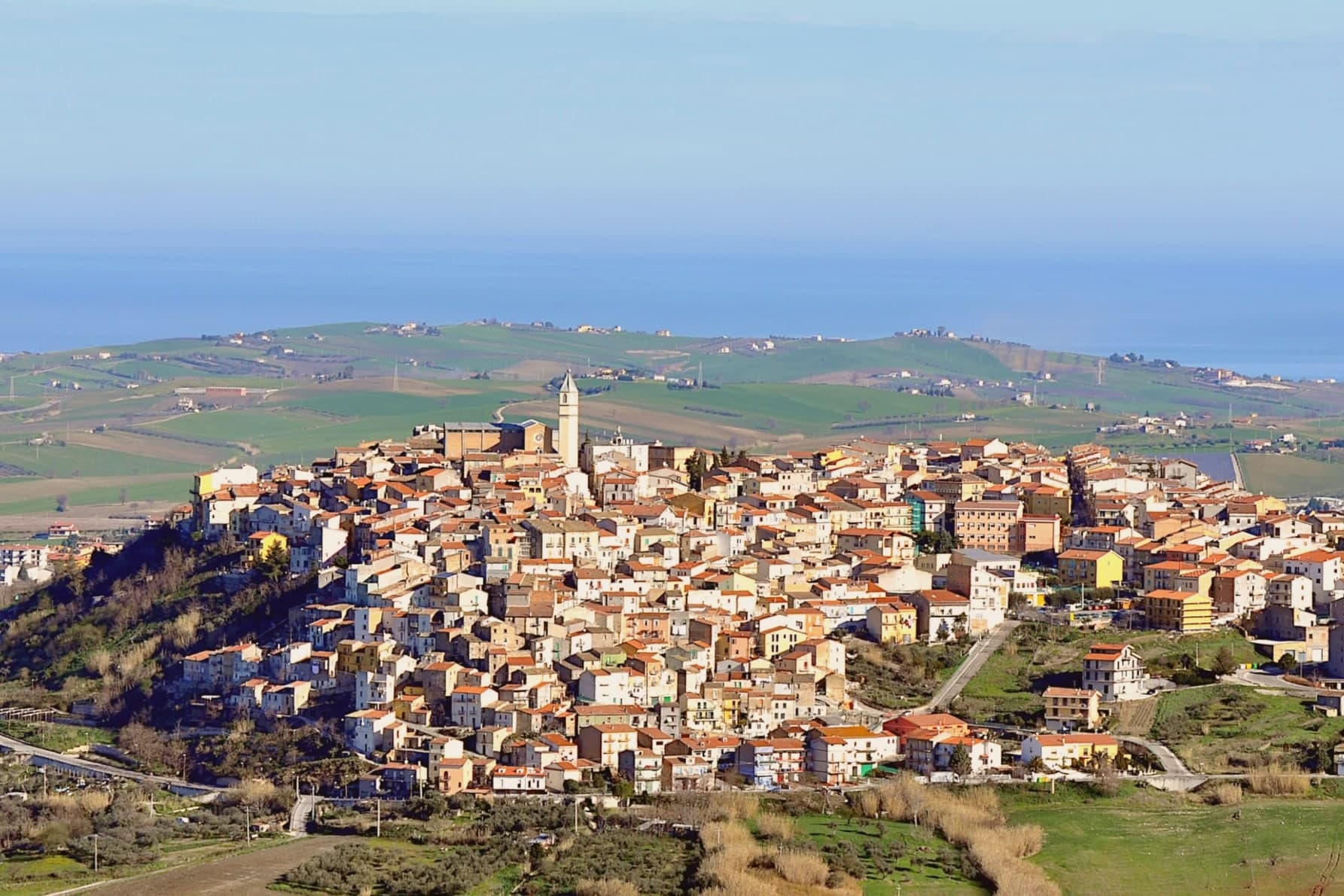
Why visit Montenero di Bisaccia
Montenero di Bisaccia sits on a tufa relief at 273 meters, on the northern edge of Molise where the region meets Abruzzo. The Chiesa di San Matteo Apostolo crowns the rock, its bell tower visible from the coast road below.
The Costa Verde beach, six kilometers down from the village, gives the commune its summer draw, with low dunes and pine groves backing the sand. Antonio Di Pietro, the magistrate who prosecuted the Mani Pulite cases of the 1990s and went on to lead Italia dei Valori, was born and farms here; after politics he returned to a 24-hectare family holding inherited from his father and now produces olive oil and wine with his son Cristiano.
The Città del Vino designation tracks that wine tradition. The hills around the village were also recorded by Serafino Razzi in 1576 as one of the Slav-influenced settlements of lower Molise.
We confirmed you can reach this one by train.
What to see in Montenero di Bisaccia
- Chiesa di San Matteo Apostolo. Parish church on the tufa rock at the top of the village, its bell tower the visible marker from the coast.
- Centro storico. Stone old town spread along the tufa ridge, with narrow streets and views east to the Adriatic.
- Costa Verde. Long sand beach six kilometers below the village, backed by pine groves and low dunes.
How to get to Montenero di Bisaccia
There is a railway station in the town, so you can arrive without a car and never need one while you are here. Pescara is roughly 70 minutes away by road.
Our tip
May through September works on the coast. June and September give the cleanest sea and the longest evenings without the August crowd. July and August fill the Costa Verde with Italian families and the ridge village stays a few degrees cooler at 273 meters.
Larino
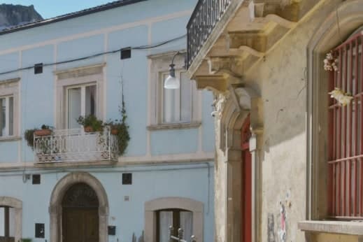
Why visit Larino
Larino sits at 341 meters in the lower Biferno valley, twenty kilometers inland from Termoli. The Frentani held the place before Rome and minted bronze coins here in the third century BC; the wool trade made it a regional centre.
The orator Cicero defended a Larino-born equestrian, Aulus Cluentius Habitus, in his Pro Cluentio of 66 BC, a case that ties the town to the wider world of the capital beyond its own remains. The old town runs along the ridge above the ancient city, so the medieval borgo and the old street plan sit in view of each other rather than layered one on top of the other.
The cathedral stands at one end of this arrangement, the arena and forum fragments at the level below. Every 25 to 27 May the streets carry the Carrese di San Pardo, a three-day procession of oxen and flower-decked carts that retraces the eleventh-century translation of the patron's relics from Daunia, linking the medieval town's religious life to the same ground the Frentani and the arena's builders had already used.
The surrounding hills carry the Città dell'Olio mark. What holds the town together, across the Frentani coinage, the law case, the arena, and the May procession, is that each layer used the same ridge and valley without erasing what came before it.
We confirmed you can reach this one by train.
What to see in Larino
- Anfiteatro Romano. Elliptical arena, 100 by 80 meters, built by a Larinum citizen who made his fortune in Rome. It stands within walking distance of the old town, its outline still legible against the surrounding streets.
- Cattedrale di San Pardo. The portal is the work to look at closely, carved by Francesco Petrini of Lanciano, its stone figures still sharp against the facade's plainer masonry.
- Centro storico (borgo). Medieval old town stretched along the ridge above the Roman remains, with Renaissance palazzi and narrow stone streets.
How to get to Larino
There is a railway station in the town, so you can arrive without a car and never need one while you are here. Foggia is roughly 82 minutes away by road.
Our tip
April through October is the working season. May is the month most travellers come for: the three-day Carrese di San Pardo runs 25 to 27 May, with around 130 flower-decked ox carts moving through the town. June and September keep the Roman amphitheatre and cathedral comfortable to walk.
Venafro
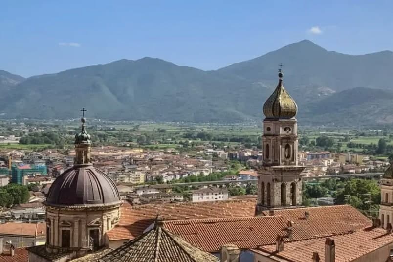
Why visit Venafro
Venafro lies at 222 meters in the lower Volturno valley, on the road between Cassino and Isernia, near the Lazio border. Horace praised the place as a resort, and the surrounding hills still carry the native Aurino olive groves that made the town's name.
Until 1863 Venafro belonged to the Terra di Lavoro and the province of Caserta, was then reassigned to Campobasso, and joined the new Isernia province only in 1970, a late arrival to the map it now sits on. The old town climbs from the lower quarters up toward the castle at its highest point, with the basilica and its convent anchoring the base of that climb below.
Roman remains, amphitheatre, theatre, and aqueduct, lie folded into and beneath the medieval fabric, so that walls, churches, and antiquity share the same ground rather than sitting in separate districts. Venafro carries Parco Nazionale and Città dell'Olio marks.
The town reads as a place where a Roman colony, a resort praised by poets, and a shifting patchwork of provincial borders all left their layer without erasing the ones beneath.
We confirmed you can reach this one by train.
What to see in Venafro
- Castello Pandone. Hilltop castle of the Pandone family from the fifteenth century. The noble rooms carry the equestrian frescoes, among them the Sala del Cavallo di Carlo V and the gallery of racehorses, painted over the whole cycle of chambers.
- Basilica di San Nicandro. Town basilica with attached convent, where Padre Pio stayed for medical treatment in the early twentieth century.
- Centro storico. Old town said to hold 33 churches between Roman remains and medieval walls, climbing toward the castle at its high point.
How to get to Venafro
There is a railway station in the town, so you can arrive without a car and never need one while you are here. Napoli is roughly 79 minutes away by road.
Our tip
April through October is the working season. Spring brings the Volturno valley back into colour and the Pandone castle's outdoor rooms back into use. June and September are the steadiest months for walking the centro storico.
More from Anywhere Italy
- The best towns you can reach by train in the province of Campobasso
 The best hidden olive oil towns in Molise
- The best hill towns in Molise
- The best olive oil towns in the province of Campobasso
 The best hidden coastal towns within 90 minutes of Pescara
 The best hidden hill towns within 90 minutes of Foggia