
The best hidden towns with a food festival in Emilia-Romagna
Emilia-Romagna eats well at every altitude, but the food festivals worth planning a weekend around happen in the hills, in autumn, when the valleys smell of woodsmoke and frying dough. The mountain towns are built of grey sandstone and river cobble, with slate roofs and arcades deep enough to shelter a trestle table in the rain. Porcini come out of the chestnut woods in September, the olives around the Lamone valley are pressed in November, and truffles turn up on boards of tagliatelle in village halls that double as the local bar. These are sagre in the old sense: one ingredient, one committee, a printed ticket, plastic beakers of sangiovese.
Most visitors eat their way through Bologna and Modena instead, and there is a good reason for it. Balsamic cellars, tortellini in brodo, Parmigiano dairies at dawn, the whole Via Emilia circuit of tasting tours between Parma and Rimini. It works, and it is heavily booked, priced accordingly, and busiest exactly when the harvest is happening in the mountains above.
The same larder continues south into the Apennines, where the mushrooms, the chestnuts and the olive oil actually come from. Fewer people go, partly because the roads bend and the trains stop lower down. The towns here run their festivals for themselves first, which is why the food is cheap and the queue is full of locals.
Of the 45 communes we have mapped in Emilia-Romagna, 11 qualify as towns with a food festival: each holds a recurring food festival built around one local ingredient. This list is the hidden ones, 7 in all, ordered smallest first. The smallest, Premilcuore, has 692 residents.
Elsewhere in the catalogue: The best towns with a food festival in Emilia-Romagna and The best hidden towns inside a nature park in Emilia-Romagna.
Premilcuore
Why visit Premilcuore
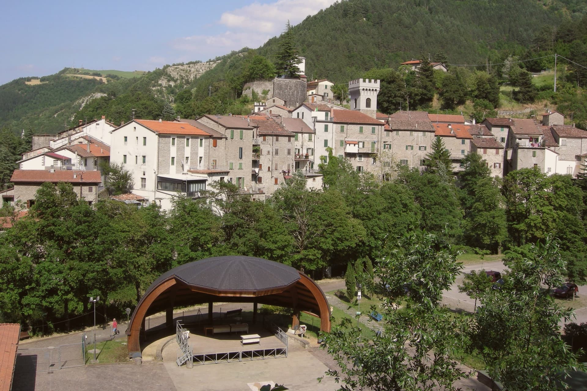
Premilcuore sits at 459 meters in the upper Rabbi valley on the Romagna-Tuscany border, fifty kilometers north of Florence and inside the Parco Nazionale delle Foreste Casentinesi. The Rocca and the medieval wall ring a centro storico of fewer than three hundred residents; the southern gate, Porta Fiorentina, still carries the marks of the 1375 surrender that put Premilcuore inside the Florentine state until 1923.
The town belonged to the Guidi counts of Modigliana from 1124, then to Caterina Sforza in the 1490s, then to Florence for five centuries. The Rabbi runs cold and clear through gorges below the borgo, with pools cut into the sandstone that the locals use through summer.
The municipality covers ninety-eight square kilometers, mostly old-growth beech and silver-fir forest inside the national park, with six people per square kilometer. Bandiera Arancione recognition arrived in the 2000s.
What to see in Premilcuore
- Rocca di Premilcuore. Medieval fortress at the top of the borgo, held by the Guidi counts from 1124 and later by Florence, now in partial restoration.
- Porta Fiorentina. Southern gate of the walled centro storico, the surviving original entry after the demolition of the Porta di Sotto on the north side.
- Chiesa di Santa Maria. Parish church inside the walls, restored after damage in the 1918 earthquake, with a Renaissance baptismal font.
How to get to Premilcuore
Forlì is roughly 50 minutes away by road.
Our tip
April through June brings the Rabbi at full water and the forest in early green, the months to hike from the borgo to the Foreste Casentinesi ridge. July and August fill the river pools below town and touch thirty degrees in the centro storico; the upper forest stays cool. September and October are the chestnut and porcini season, with the colors changing on the beech slopes through November. Sagra del Cinghiale falls in August.
Portico e San Benedetto
Why visit Portico e San Benedetto
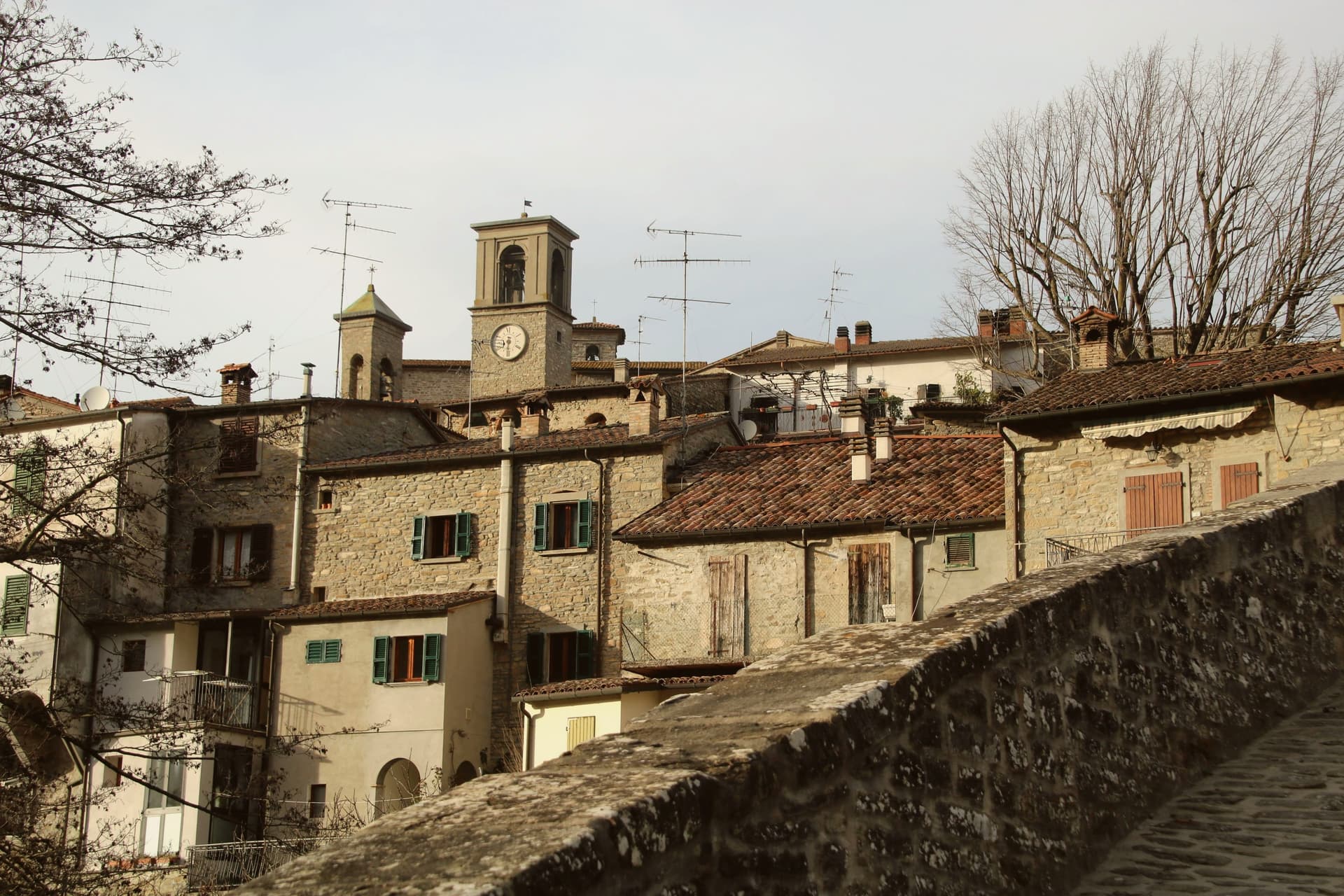
The Tuscan-Romagnolo Apennines place the borgo forty-five kilometers north of Florence and sixty southeast of Bologna, on the Montone river. The upper part holds the castle and the parish church, the middle the noble palazzi along Via Roma, the lower the artisan houses built vertically over four floors: a layout that follows the slope down from fortress to workshop.
Twelve kilometers upriver, the frazione of San Benedetto in Alpe holds the ruins of the abbey and the waterfall, joining the seat of Florentine administration to a stretch of the same valley given over to monastic settlement and to the poem that named its sound. The municipality lies inside the Parco Nazionale delle Foreste Casentinesi and carries the Bandiera Arancione.
What holds the two ends of the valley together is the Montone itself: one town built in tiers to govern the river's lower course, one abbey and one waterfall marking its upper reaches, twelve kilometers and several centuries apart but read here as a single territory.
What to see in Portico e San Benedetto
- Centro storico di Portico. The slope divides into castle quarter above, noble palazzi along Via Roma at mid-level, and artisan houses built vertically below.
- Palazzo Portinari. Fourteenth-century palace on Via Roma, by tradition the residence of Folco Portinari's family.
- Cascata dell'Acquacheta. The torrent falls among rocks near San Benedetto in Alpe, the muffled roar the detail Dante fixed in Inferno XVI.
How to get to Portico e San Benedetto
Forlì is roughly 40 minutes away by road.
Our tip
April through June brings water in the Acquacheta and green on the Apennine ridges, the best months for the walk up from San Benedetto in Alpe. September and October give the chestnut harvest and the porcini in the Foreste Casentinesi; the Montone valley turns copper into November. July and August touch thirty degrees and the centro storico empties between two and five, though the river pools below the Ponte della Maestà are cold. Sagra della Tagliatella falls in August.
Pennabilli
Why visit Pennabilli
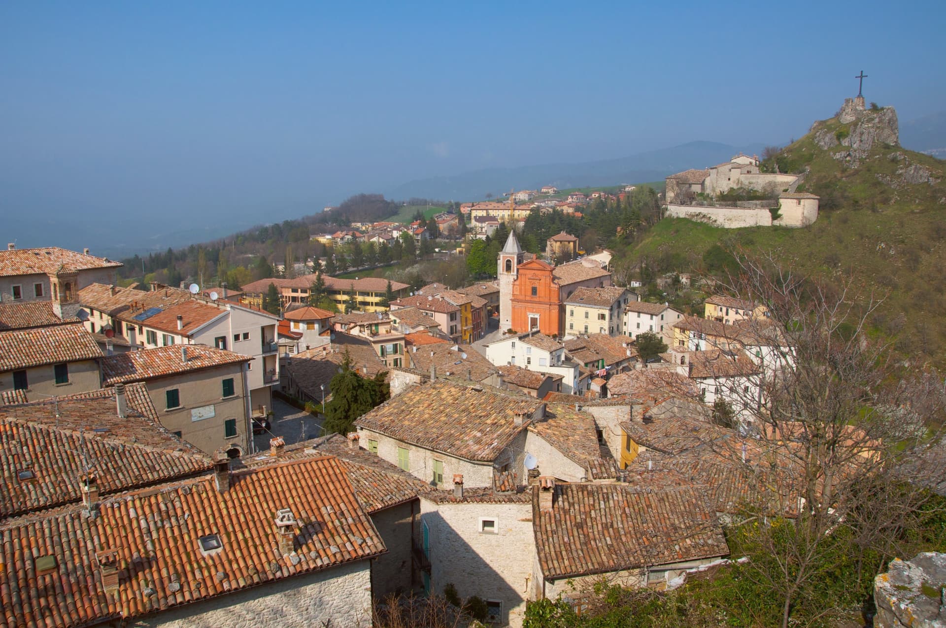
Pennabilli sits at 629 meters on the western slope of Monte Carpegna, at the head of the upper Marecchia valley, forty-five kilometers south of Rimini, inside the historic Montefeltro region. The town grew from the union of two hilltop castles, Penna on the Roccione and Billi on the Rupe, formally joined in 1350 by a stone of peace placed in the marketplace between them.
It has been the episcopal seat of the Diocese of Montefeltro since 1572, a status transferred from the older seat of San Leo. Tonino Guerra, long-time collaborator of Fellini, Antonioni and Tarkovsky, settled here in 1989 and spread his outdoor museum, I Luoghi dell'Anima, across both the town and the valley below it, linking the two former castles and their surroundings into a single walked route.
The garden of forgotten fruits opened the following year, and the antiques fair has continued each July since 1970, older than either. What the place adds up to is a town built twice: once by the stone that joined two castles into one commune, and once by the poet who joined the whole valley into a single museum without walls.
What to see in Pennabilli
- Orto dei Frutti Dimenticati. Walled garden below the Roccione, its paths lined with sculptures and installations set among the rescued fruit varieties.
- I Luoghi dell'Anima. Network of seven outdoor installations across Pennabilli and the Marecchia valley, conceived by Tonino Guerra between 1989 and 2012.
- Roccione and Rupe. Two rocky outcrops that carried the medieval castles of Penna and Billi, joined into a single commune in 1350.
How to get to Pennabilli
Rimini is roughly 55 minutes away by road.
Our tip
May through October is the open season in Pennabilli. The Marecchia valley turns green in late spring; the air at 629 meters stays cooler than the Rimini coast forty-five kilometers downstream. July is the busiest month, with the Mostra Mercato d'Antiquariato pulling crowds into the centro storico and the Carpegna trails open for hikers. Food Garden falls in August.
Bobbio
Why visit Bobbio
Bobbio sits on the left bank of the Trebbia at 272 meters, at the foot of Monte Penice in the Piacentine Apennines. The land was granted to Saint Columbanus by the Lombard king Agilulf in 614, and the monastery he raised on it grew, by the eighth century, into one of the principal libraries north of Rome, copying Greek, Latin, and Irish manuscripts that survived nowhere else.
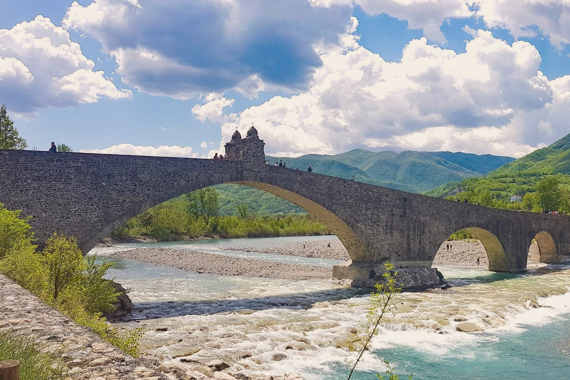
The French suppressed the monastery in 1803; what the scriptorium and library once held now lives in fragments, kept in the basilica and its museum. The town below the abbey is crossed by the Trebbia on the Ponte Gobbo, its eleven irregular arches stretching 273 meters, a shape that gave rise to the story of the Devil and the saint dividing the bridge between them.
Bobbio still carries the Borghi più belli and Bandiera Arancione designations alongside the 2019 RAI title. A river crossing, a hill fortress, and a monastery ruin sit within reach of one another here, each holding a different piece of the same long settlement, one built by faith, one by feudal power, and one by the river itself.
What to see in Bobbio
- Abbazia di San Colombano. The basilica and grounds where Saint Columbanus settled still stand; the scriptorium he founded is gone but its output is documented in surviving manuscripts held elsewhere.
- Ponte Gobbo. The eleven arches sit unevenly across the riverbed, the irregularity of their spacing the source of both the Devil's Bridge name and the Columbanus legend attached to it.
- Duomo di Bobbio. Romanesque cathedral begun in 1075, dedicated to Santa Maria Assunta, with a fifteenth-century fresco cycle in the apse.
How to get to Bobbio
Piacenza is roughly 63 minutes away by road.
Our tip
April through June brings the green Val Trebbia season, when the river runs clear enough for swimming holes downstream. September and October are the working months for chestnuts, mushrooms, and the maccheroni alla bobbiese the town fills its trattorie with. July and August can hit thirty-three degrees in the valley, and the 2019 Borgo dei Borghi win still draws weekend crowds that fill the Ponte Gobbo. La Festa del Pinolo falls in August.
Borgo Val di Taro
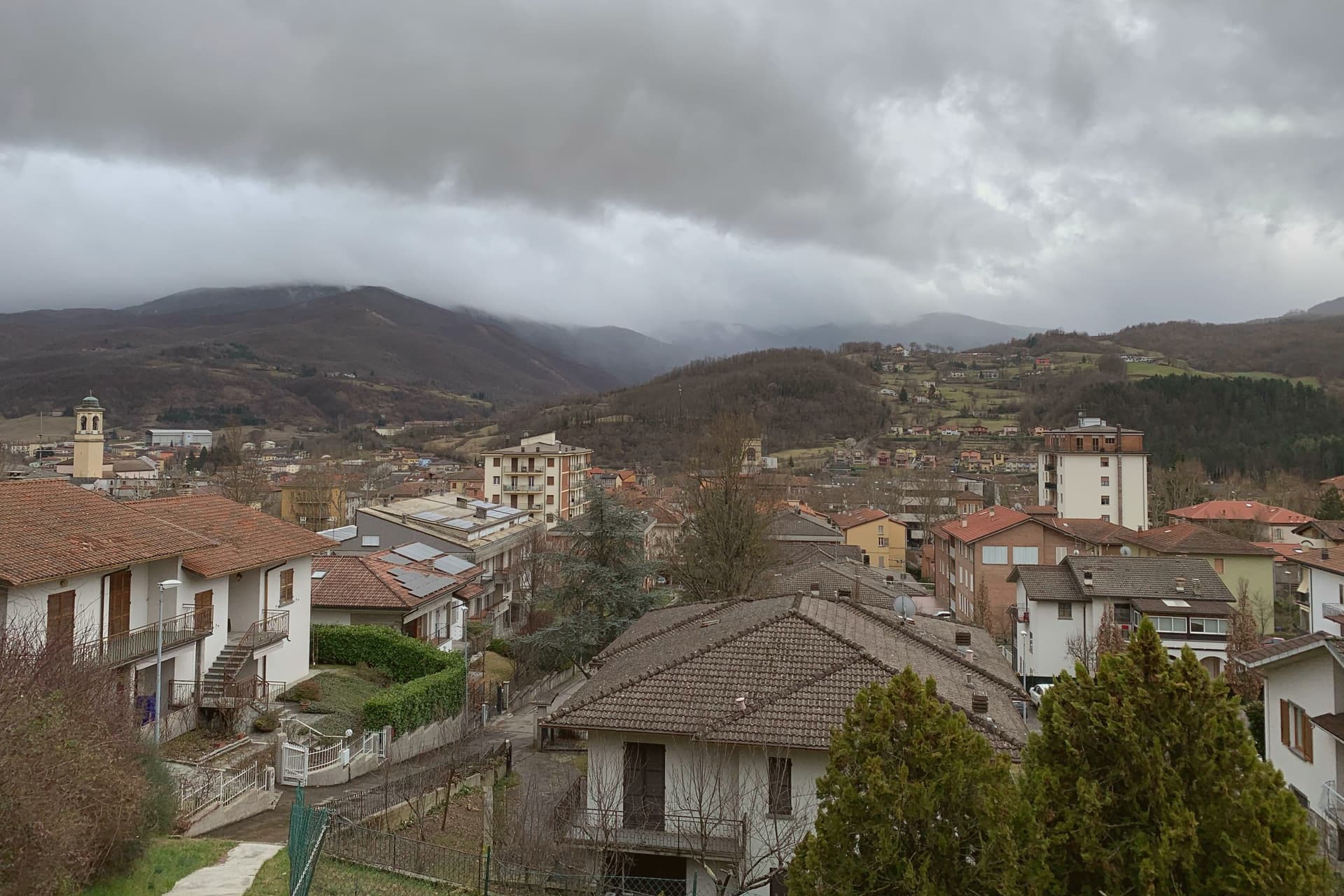
Why visit Borgo Val di Taro
Borgo Val di Taro sits at 411 meters in the upper Taro valley, sixty-three kilometers southwest of Parma at the point where the province meets Liguria and Tuscany on the Apennine ridge. The town was a Roman waystation, then a possession of the Bobbio abbey, then of the Landi and Doria-Landi families through the medieval centuries.
Modern Borgotaro built itself around the porcini trade: the Boletus mushrooms gathered in the surrounding chestnut woods were already famous in the nineteenth century, exported by emigrants to the Americas, and in 1996 the European Union granted the Fungo di Borgotaro Protected Geographical Indication status, the first European recognition for a wild mushroom. The Consorzio per la Tutela del Porcino di Borgotaro was founded the same year.
The Cittaslow movement admitted the town in the 2000s. The September Fiera del Fungo di Borgotaro is the calendar event; population has dropped under seven thousand but the porcini trade still anchors the local economy.
What to see in Borgo Val di Taro
- Centro storico. Medieval town center along the Taro, with the Palazzo Tardiani, the Piazza Manara, and the porticos lining the old market street.
- Chiesa di Sant'Antonino. Sixteenth-century parish church with a Baroque interior, holding a fifteenth-century crucifix and a wooden image of the Madonna del Carmelo.
- Palazzo Tardiani. Eighteenth-century palace on the main street, now housing the municipal library and the cultural offices.
How to get to Borgo Val di Taro
There is a railway station in the town, so you can arrive without a car and never need one while you are here. Parma is roughly 67 minutes away by road.
Our tip
April through June brings the Taro at full water and the chestnut woods in early green. September and October are the working months: the porcini emerge after the autumn rains, the Fiera del Fungo fills the centro on the last two weekends of September, and the trade carries the town's economy into November. July and August touch thirty degrees and the centro empties between two and five, though the river is cold enough for swimming. Porcigatone in festa falls in August.
Brisighella
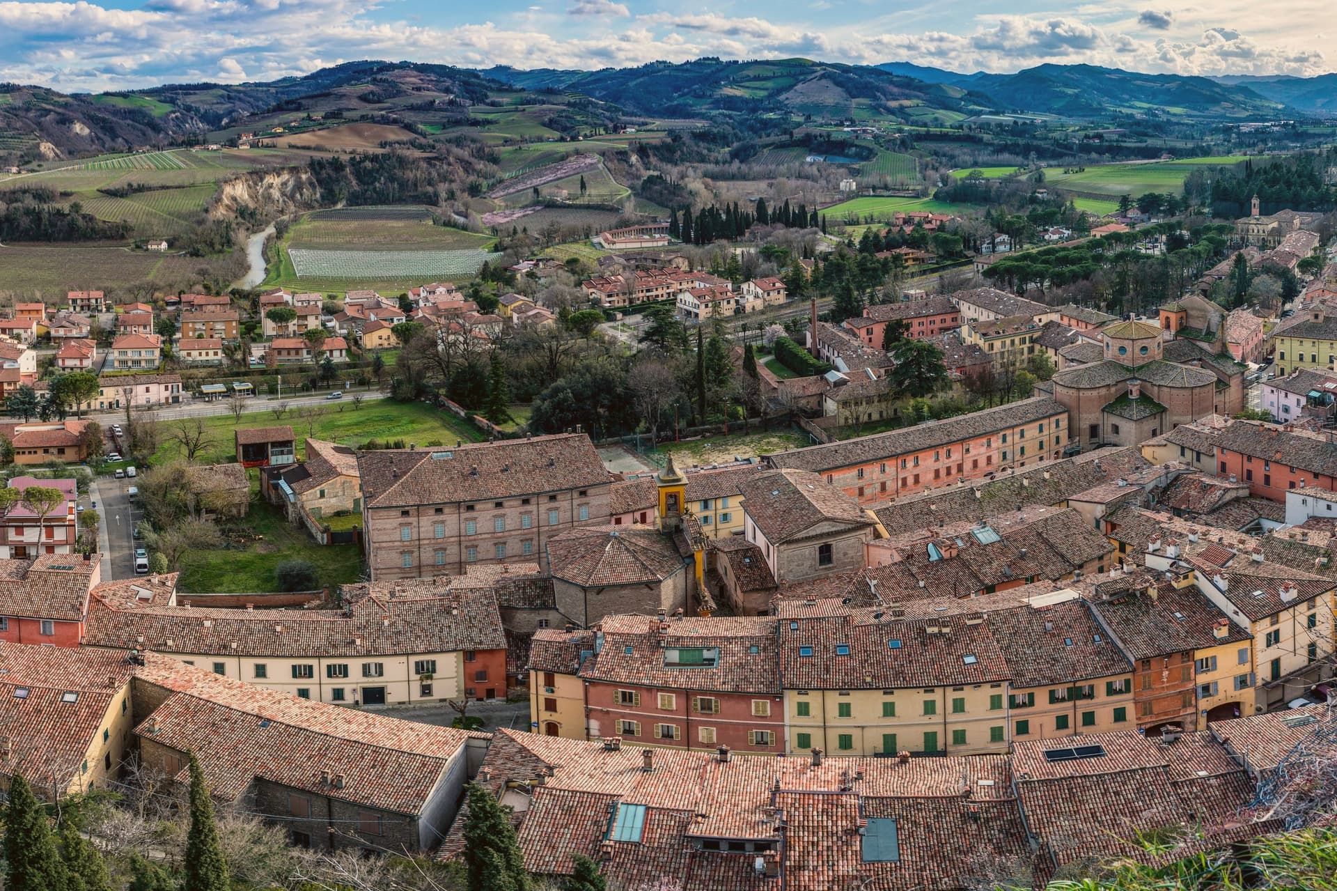
Why visit Brisighella
Brisighella sits in the Lamone valley at 115 meters, forty-five kilometers southeast of Bologna, on the Apennine slope where Romagna meets the gypsum vein the UNESCO list added in 2023. Three selenite hills rise above the rooftops, each carrying a building: the Rocca Manfrediana, built in 1310 by Francesco Manfredi and reinforced by the Venetians after 1503; the Torre dell'Orologio, rebuilt in 1850 with a six-hour dial instead of twelve; and the Santuario del Monticino above the town.
The Via degli Asini runs through the centro storico as a covered elevated street, originally a fourteenth-century patrol walkway, later excavated into stables for the donkeys that hauled gypsum down from the quarries. The Nostrana di Brisighella olive, grown on the same hills, makes the Brisighello DOP oil that has carried European protection since 1996.
The town holds four institutional signals at once: Borghi più belli, Bandiera Arancione, Cittaslow, Città dell'Olio.
What to see in Brisighella
- Rocca Manfrediana. Hilltop fortress begun in 1310 by Francesco Manfredi of Faenza, reinforced by Astorgio II in the 1460s and held by Venice after 1503.
- Torre dell'Orologio. Clock tower rebuilt in 1850 on an earlier defensive structure, with a dial that marks six hours rather than the usual twelve.
- Santuario del Monticino. Eighteenth-century sanctuary on the third selenite hill, overlooking the town and the Lamone valley below.
How to get to Brisighella
There is a railway station in the town, so you can arrive without a car and never need one while you are here. Forlì is roughly 55 minutes away by road.
Our tip
April through June and September through October are the working months in Brisighella. The hills around the Lamone valley turn green in spring and gold in autumn; the olive harvest in November fills the frantoi along the road to Faenza. July and August touch thirty-five degrees and the centro storico empties between two and five. Sagra Della Collina E Del Cinghiale falls in July.
Castelvetro di Modena
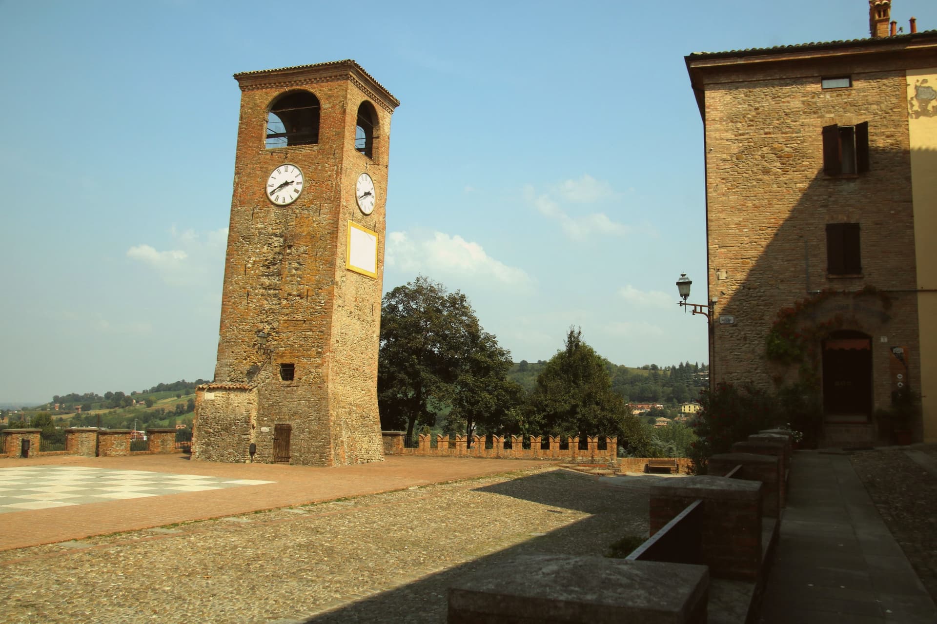
Why visit Castelvetro di Modena
Castelvetro di Modena sits on a hill at 152 meters, eighteen kilometers southeast of Modena and at the northern edge of the Apennine foothills. The medieval centro storico rises around the Piazza Roma, paved in alternating white and black stones that earned it the name Piazza della Dama, the checkerboard piazza, framed by the four surviving towers of the old castle.
The Grasparossa grape grows on the clay slopes around the town, the sandy soil and the south-facing aspect producing the deepest, most tannic of the three main Lambruschi; Lambrusco Grasparossa di Castelvetro received DOC status in 1970. Above the piazza, the Palazzo Rinaldi houses the Museo del Vino and the Museo dell'Aceto Balsamico, the second tracing the same Modenese tradition that nearby Spilamberto codifies.
The municipality holds three institutional signals: Borghi più belli, Bandiera Arancione, Città del Vino. The Sagra dell'Uva e del Lambrusco runs the last weekend of September, when the streets fill with the chess players from the surrounding Lambrusco towns dressed as living pieces on the piazza.
What to see in Castelvetro di Modena
- Piazza Roma. Checkerboard piazza paved in alternating white and black stones, framed by the four surviving towers of the medieval castle.
- Castello di Levizzano Rangone. Tenth-century fortified frazione four kilometers north, with a tower built in the 990s and a fully preserved medieval village.
- Museo del Vino. Wine museum inside the Palazzo Rinaldi, tracing the Grasparossa production cycle and the DOC zone established in 1970.
How to get to Castelvetro di Modena
There is a railway station in the town, so you can arrive without a car and never need one while you are here. Modena is roughly 28 minutes away by road.
Our tip
April through June and September through October are the Castelvetro months. The hills around the borgo turn green in spring and red in autumn when the Grasparossa vines colour up before the harvest. July and August are hot, thirty-five degrees in the valley, less in the hills above, and the cantine slow down. Sagra dell'Uva e del Lambrusco Grasparossa di Castelvetro falls in September.
More from Anywhere Italy
- The best towns with a food festival in Emilia-Romagna
 The best hidden towns inside a nature park in Emilia-Romagna
 The best hidden towns with a serious restaurant in Emilia-Romagna
 The best hidden towns you can reach by train in Emilia-Romagna
- The best hill towns that eat well in Emilia-Romagna
- The best hill towns you can reach by train in Emilia-Romagna