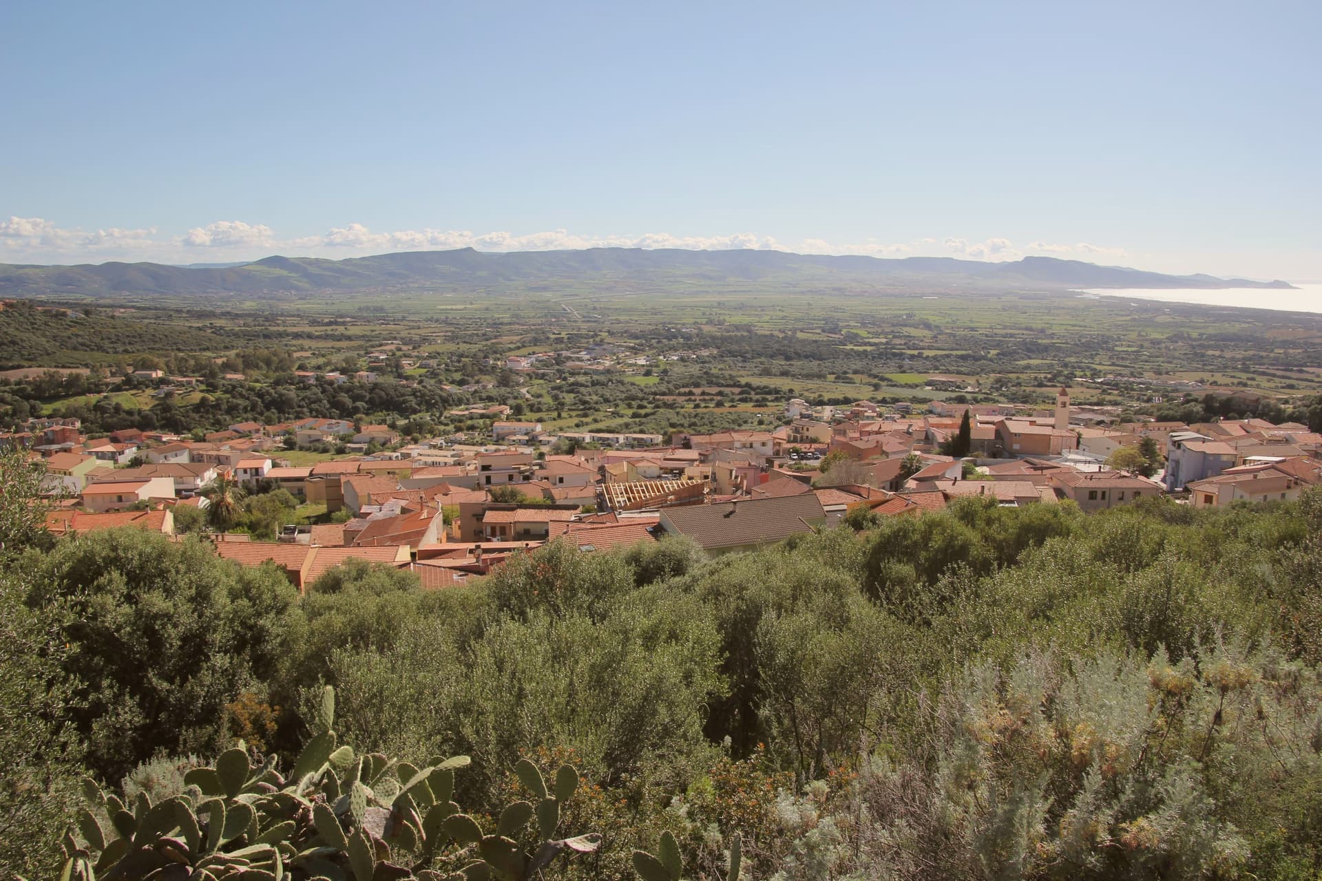
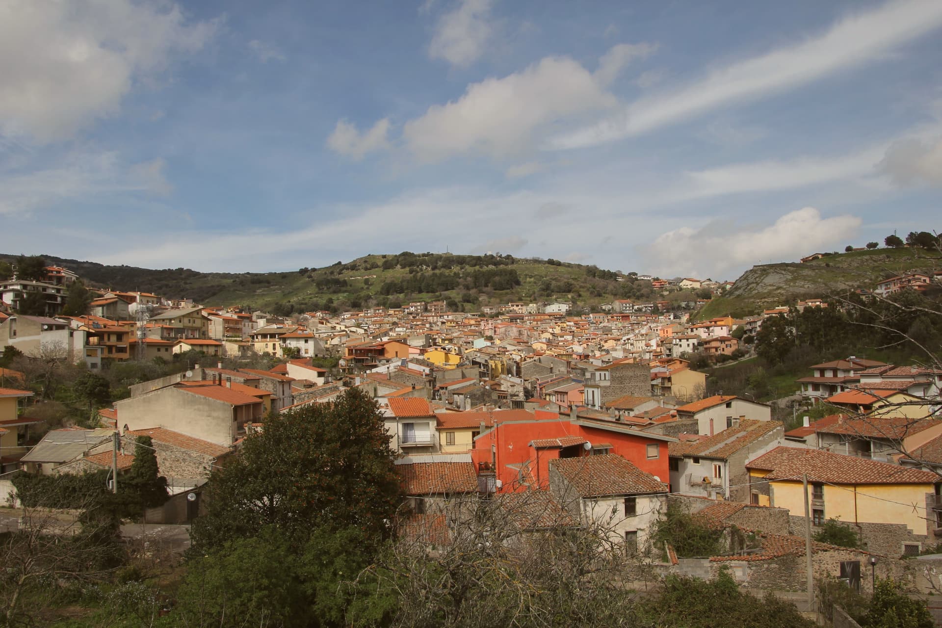
The prettiest villages in Sardegna
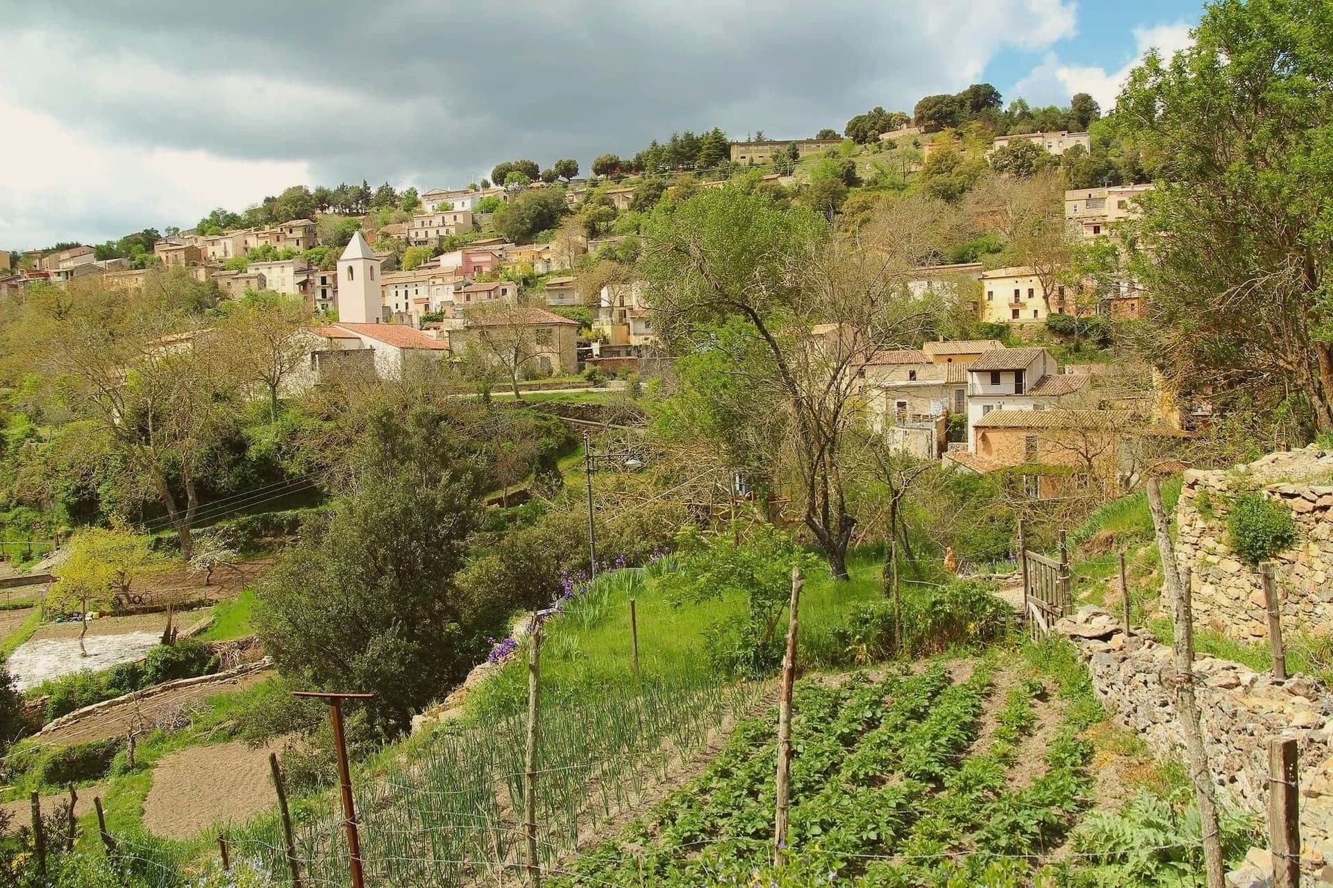
Sardinia builds in stone that changes as you cross it: pink trachyte in the Logudoro, grey granite in Gallura, basalt on the tablelands, and lime render painted in ochre, coral and faded green along the western rivers. The villages sit above valleys of cork oak and asphodel, or on ridges where the wind carries salt inland for miles. Food follows the rock rather than the coast, so you eat suckling pig cooked over myrtle wood, pane carasau, sheep's cheese and Cannonau from vines on volcanic soil. Spring brings orchids and green wheat on the plateaux, autumn the grape harvest and the chestnut smell of the Barbagia, and the deep summer belongs to the sea and the shuttered afternoon.
Almost everyone arrives with the Costa Smeralda in mind, or the beaches around Villasimius and the Maddalena archipelago's day boats. The reasoning is sound, since the water really is that clear, but the consequence is a July in which the coast road backs up, the marina restaurants charge Milan prices and the sand is rationed by the parasol. Porto Cervo in high season is a resort economy rather than a Sardinian town, and it empties again in October.
The granite and the trachyte, the vineyards and the myrtle scrub, continue well past the resorts, and that is where these villages are. Some sit on the sea and some sit a long way from it, in the wine country of the Mandrolisai or above the caves of the Barbagia di Seulo, and each has passed the assessment of the national association of Italy's most beautiful villages. Fewer people go, particularly outside August, which means an evening passeggiata with locals in it and a room you can still book in June.
Of the 41 communes we have mapped in Sardegna, 8 qualify as prettiest villages: each has passed the assessment of the national association of Italy's most beautiful villages. The smallest, Sadali, has 837 residents.
Elsewhere in the catalogue: The 10 best hidden wine towns in Sardegna and The best towns with a food festival in Sardegna.
Sadali
Why visit Sadali
Sadali sits at 750 meters on a karst plateau in the Barbagia di Seulo, an hour and a half by road from Cagliari and far from any coast. The village grew before 1335 around the parish church of San Valentino, and the limestone underneath it does the unusual work that makes the place memorable.
Underground rivers surface as springs inside the village, and one of them, Funtana Manna, drops about seven meters in a cascade beside the church. Sadali is the only Sardinian commune with a waterfall in its centro abitato.
The same karst feeds the Is Janas caves on the edge of town, 300 meters of stalactites and columns open to visitors. Stone houses, narrow lanes, water running audibly through the streets after rain.
The population is under 900 and falling. The Borgo dei Borghi finalist status in 2026 brought the first sustained wave of visitors the village has seen.
What to see in Sadali
- Cascata di San Valentino. Seven-meter waterfall fed by Funtana Manna spring, dropping inside the inhabited centre, the only one of its kind in Sardegna.
- Chiesa di San Valentino. Ancient parish church beside the waterfall, the only Sardinian sanctuary dedicated to Saint Valentine, around which the village formed before 1335.
- Grotte Is Janas. Karst cave system 300 meters long with six rooms of stalactites, stalagmites and ochre flows, joined into columns at the centre.
How to get to Sadali
There is a railway station in the town, so you can arrive without a car and never need one while you are here. Cagliari is roughly 91 minutes away by road.
Our tip
May through October is the workable window in Sadali. The plateau holds at 750 meters, so summer heat stays below the inland average and the springs run cold even in August. June and September are the easiest months: the waterfall is full, the cave temperature stays at 16 degrees, and the village is open. Sagra de is culurgionis falls in August.
Atzara
Why visit Atzara
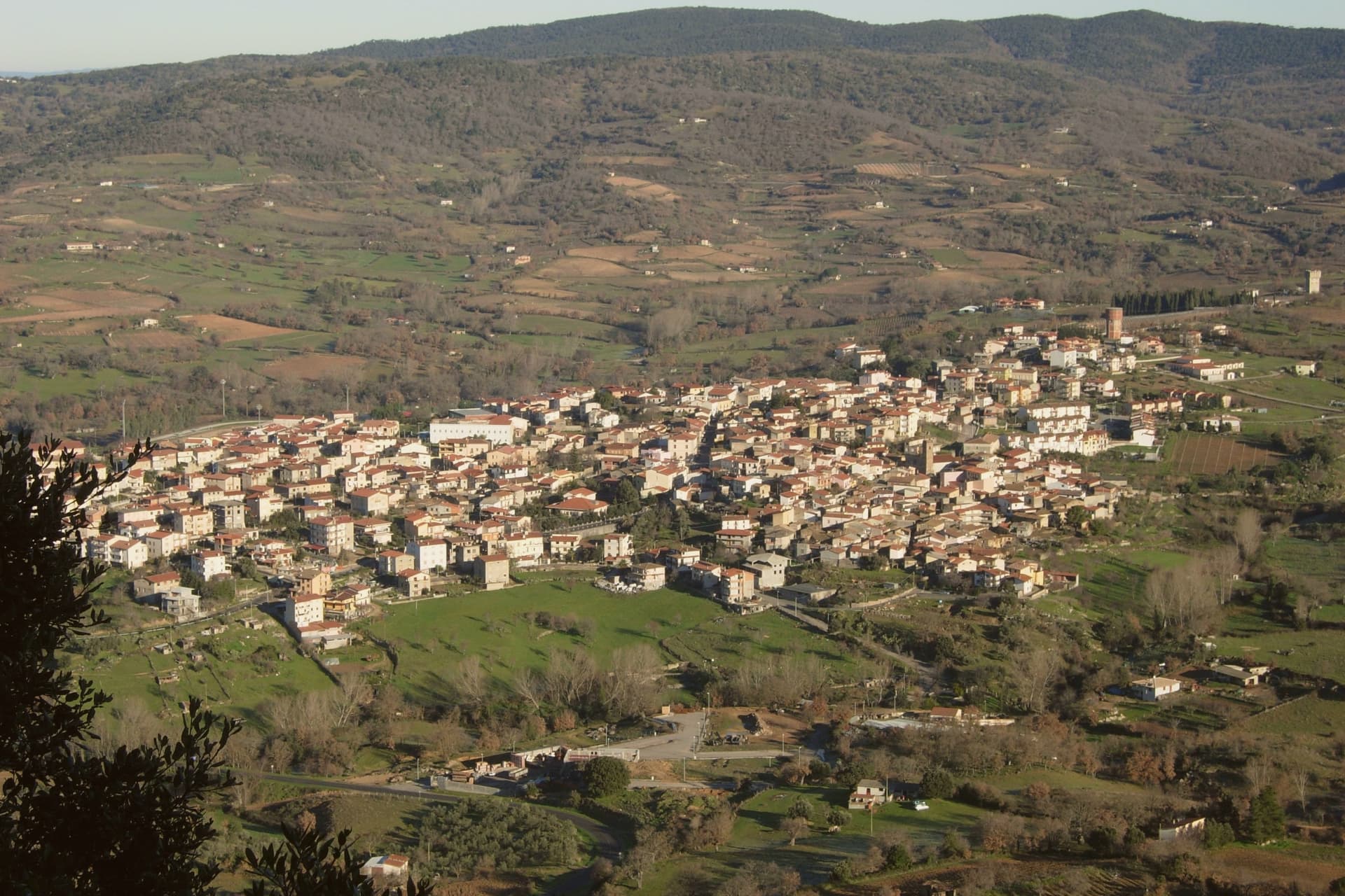
The Mandrolisai sub-region sits at the geographic centre of Sardinia, and Atzara occupies its western edge on the slopes that rise toward the Gennargentu, with the boundary of the national park running close to the eastern side of the commune. The village built its name first on wine: the volume and quality of the Mandrolisai blend was already established in the nineteenth century, before any painter arrived.
What changed at the turn of the twentieth century was who was looking at the place. Visiting artists found in the stone houses and the lanes of dark basalt and granite a ready subject for peasant scenes, and the school that grew out of their stay took the village's name.
The wine economy and the painting school are not separate stories so much as two outputs of the same setting: a farming village at altitude, built of local stone, whose ordinary life became the material for a documented artistic movement. What the town has kept, in its museum, its unchanged centro storico and its parish church, is the physical record of both.
What to see in Atzara
- Museo d'Arte Moderna e Contemporanea Antonio Ortiz Echagüe. Civic museum holding works by the Spanish costumbristas and the Sardinian painters of the Scuola di Atzara, including Antonio Ballero and Filippo Figari.
- Centro storico di Atzara. Stone houses of dark basalt and granite along narrow lanes, the model the painters used at the start of the twentieth century.
- Chiesa di Sant'Antioco Martire. Parish church in the heart of the village, built in Aragonese-Catalan late Gothic style with later modifications.
How to get to Atzara
Cagliari is roughly 103 minutes away by road.
Our tip
April through June and September through November are the dry, mild months at 553 metres, the right season for Mandrolisai cellar visits and walks toward the Gennargentu. July and August touch thirty degrees in the village and the vineyards switch to early-morning work. Winter is cold and quiet, with snow possible on the peaks above. I giorni del Mandrolisai falls in June.
Posada
Why visit Posada
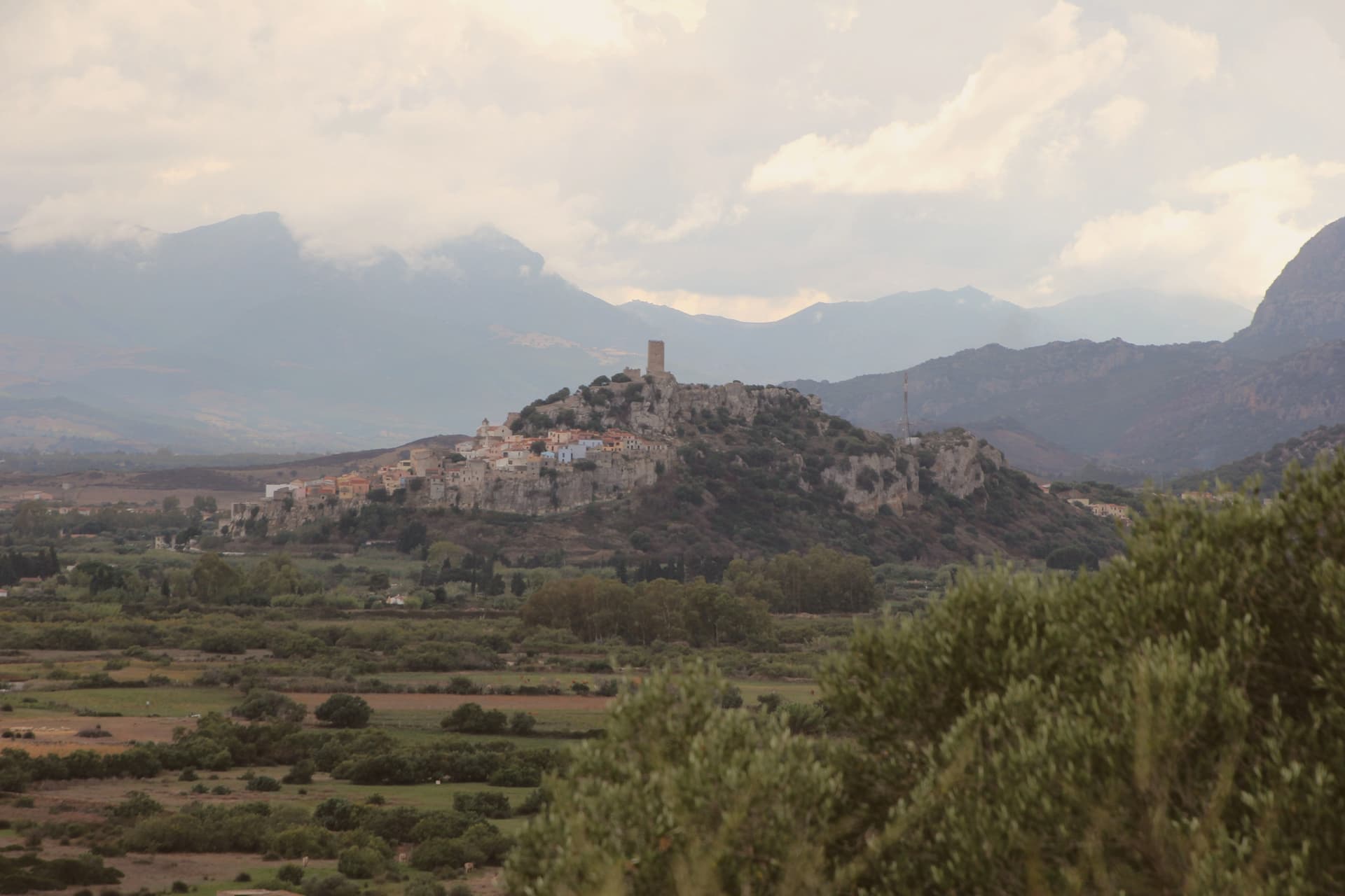
The village center sits at 37 meters, below the rock the castle occupies at 71 meters above the plain. The castle served as a holiday residence for Eleanor of Arborea and was fought over between the Giudicato of Arborea and Aragon.
In title it became the seat of the Baron of Posada, a Carroz fief created in 1431 and formally ended in 1856. From the tower the view runs down the valley to the dunes and beaches below and out to the Tyrrhenian.
The walled village is small, stacked along a single climbing street beneath the keep, with the parish church as its religious center. Inland, the Parco Naturale Regionale di Tepilora, declared in 2014, covers the upper watershed and the oak forest that feeds the river below.
Coast and interior, castle and church, park and plain: the whole place reads as one drainage, from the Tepilora hills down through the village to the sea.
What to see in Posada
- Castello della Fava. The square tower stands on its rock over the valley, named for a legend involving Saracen besiegers and a sack of beans.
- Centro storico. Stone village stacked along a single climbing street below the castle, member of the Borghi più belli d'Italia.
- Chiesa di Sant'Antonio Abate. Parish church of Posada, the religious center of the medieval village below the castle keep.
How to get to Posada
Sassari is roughly 126 minutes away by road.
Our tip
May through October is the long Tyrrhenian season at Posada. Water temperatures climb past twenty degrees in June, the beaches at the river mouth fill in July and August, and the castle tower above the village offers the cooler counterpoint to the coast. September and October hold the best balance, warm sea and quiet streets in the centro storico.
Castelsardo
Why visit Castelsardo
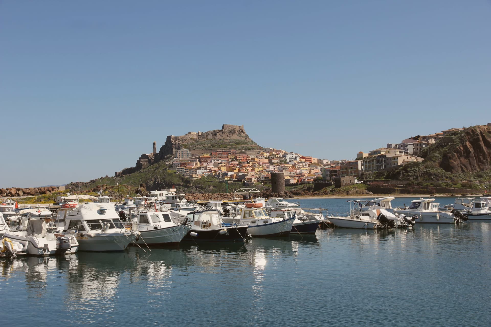
Castelsardo sits at 114 meters on a rock above the Gulf of Asinara, twenty-five kilometers north of Sassari. The Doria family of Genoa built the castle in the early twelfth century to control the gulf, and it served as the residence of Brancaleone Doria and Eleonora d'Arborea until 1448, when the Aragonese took it and renamed it Castel Aragonese.
The Spanish turned it into a defensive fort with towers and bastions, and it kept that name until the Savoys took over in the eighteenth century and gave it the present name. The old town climbs the rock in a single line from the harbour to the castle at its summit, the walled village wrapped around the slope between the two.
Below the castle, the cathedral stands on its own terrace above the sea, its tiled bell tower placed so it can be picked out from boats well offshore. Six kilometers east, on the road out of town, the Roccia dell'Elefante sits apart from this vertical arrangement, a single eroded outcrop rather than part of the settlement.
Three rulers in succession, Genoese, Aragonese, Savoyard, each left their mark on the same rock without erasing what came before: the castle they fought over, the church they built beneath it, and the harbour they all needed at its foot.
What to see in Castelsardo
- Castello dei Doria. Tops the walled village at its highest point, the rock dropping to the harbour below. Its rooms now hold the museum devoted to the town's weaving craft.
- Cattedrale di Sant'Antonio Abate. Gothic core with seventeenth-century Renaissance and Baroque additions, tiled bell tower visible from sea, Maestro di Castelsardo altarpiece inside.
- Museo dell'Intreccio Mediterraneo. Recreated workshops and historical pieces set inside the castle's rooms, tracing how asphodel and dwarf palm are cut, stripped and worked into baskets and sieves.
How to get to Castelsardo
Sassari is roughly 35 minutes away by road.
Our tip
May through October is the working season on the Gulf of Asinara. The Bandiera Blu beaches at Lu Bagnu and around Castelsardo open from May, and the castle terrace catches the gulf light best in early or late summer. July and August fill the centro storico with day-trippers from Sassari and the Costa Smeralda.
Carloforte
Why visit Carloforte
Carloforte is the only settlement on the Isola di San Pietro, seven kilometers off the south-western tip of Sardegna and reached by ferry from Portovesme or Calasetta. About 5,900 people live here.
The story is unusual on the island. Coral fishers from Pegli, near Genoa, left in 1541 for the Tunisian island of Tabarka to work the Mediterranean coral banks.
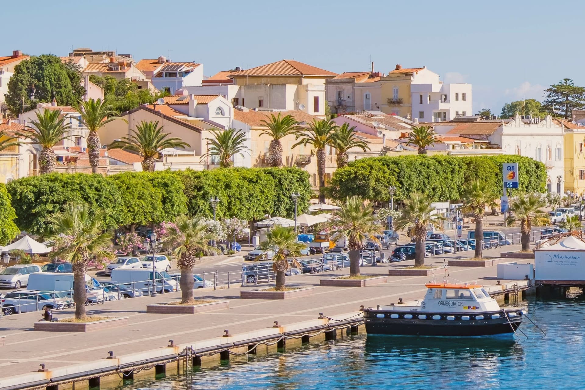
In 1738, their descendants asked Carlo Emanuele III of Savoy for land, were granted San Pietro, and built the town that still bears the king's name. The inhabitants still speak tabarchino, a Ligurian variant unchanged for two centuries, and write the street signs in two languages.
The tonnara at Punta La Punta worked the bluefin tuna migration through these waters from the sixteenth century to the late twentieth. Each May the Girotonno festival fills the harbour with tuna tastings and music.
The cuisine is Ligurian on Sardinian water: pasta with tuna, capers, and pesto that locals make differently from the Genoese mainland.
What to see in Carloforte
- Centro storico tabarchino. Ligurian-pattern fishing town founded 1738, pastel houses along the harbour, bilingual street signs in Italian and tabarchino.
- Tonnara di Carloforte. Tuna fishery at Punta La Punta on the northern tip of the island, working the bluefin migration from the sixteenth century until recent decades.
- La Caletta and Spalmatore. Sheltered coves and beaches on the western side of the island, with clear water and access to the Capo Sandalo cliffs.
How to get to Carloforte
Our tip
May through October is the working season in Carloforte. The Girotonno bluefin festival fills the harbour for three days in late May or early June, the cleanest weather window before the heat. June through September runs warm but the sea breeze keeps the harbour cooler than mainland Sulcis.
Bosa
Why visit Bosa
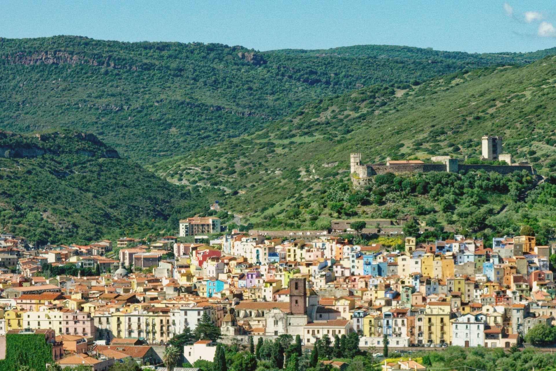
Bosa sits three kilometres inland from the western coast of Sardinia, on the north bank of the Temo, the only navigable river on the island. The Castello di Serravalle, built around the second half of the thirteenth century by the Tuscan Malaspina family of Spino Secco, dominates the town from the hill above the centro storico.
During the Sardinian-Catalan war the Aragonese described it as one of the noblest castles in the world and the key to the entire island. Below the castle, the houses of the Sa Costa quarter step down the slope in lines of pink, yellow, blue and green to the river.
On the opposite bank stretches Sas Conzas, the nineteenth-century tannery district, identical industrial buildings with stone soaking tanks where Bosa hides were processed for export. The Planargia hills behind the town produce Malvasia di Bosa DOC, one of Sardinia's classic sweet wines, alongside olive oil.
What to see in Bosa
- Castello di Serravalle (o dei Malaspina). Thirteenth-century castle built by the Tuscan Malaspina family on the hill above the Temo, with the small chapel of Nostra Signora de sos Regnos Altos in its enclosure.
- Sa Costa. Old quarter of pink, yellow and blue houses climbing the slope from the river to the Malaspina castle, the postcard image of Bosa.
- Sas Conzas. Nineteenth-century riverside district of identical tannery buildings on the south bank of the Temo, an industrial heritage site with original stone soaking tanks.
How to get to Bosa
Sassari is roughly 85 minutes away by road.
Our tip
May through October is the working season on the Temo: river boat trips, the castle climb, the colour-washed quarter, the Malvasia tastings in the Planargia. July and August push past thirty-two degrees and the centro storico empties between two and five each afternoon. April and the second half of October are dry and mild, the right window for the Sas Conzas walk and the cliffs of the Capo Marrargiu coast. Attoppa a camasinu! falls in August.
La Maddalena
Why visit La Maddalena
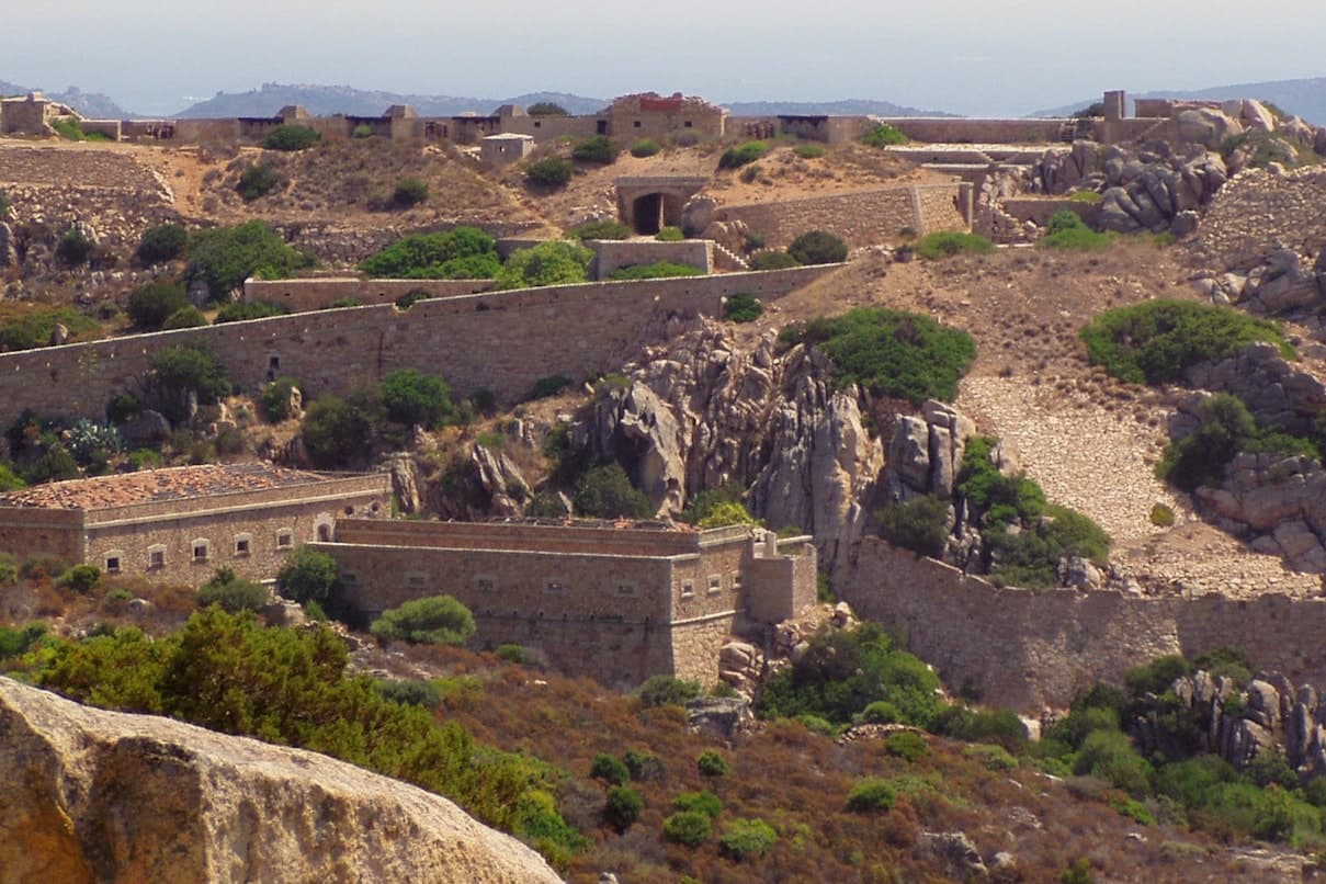
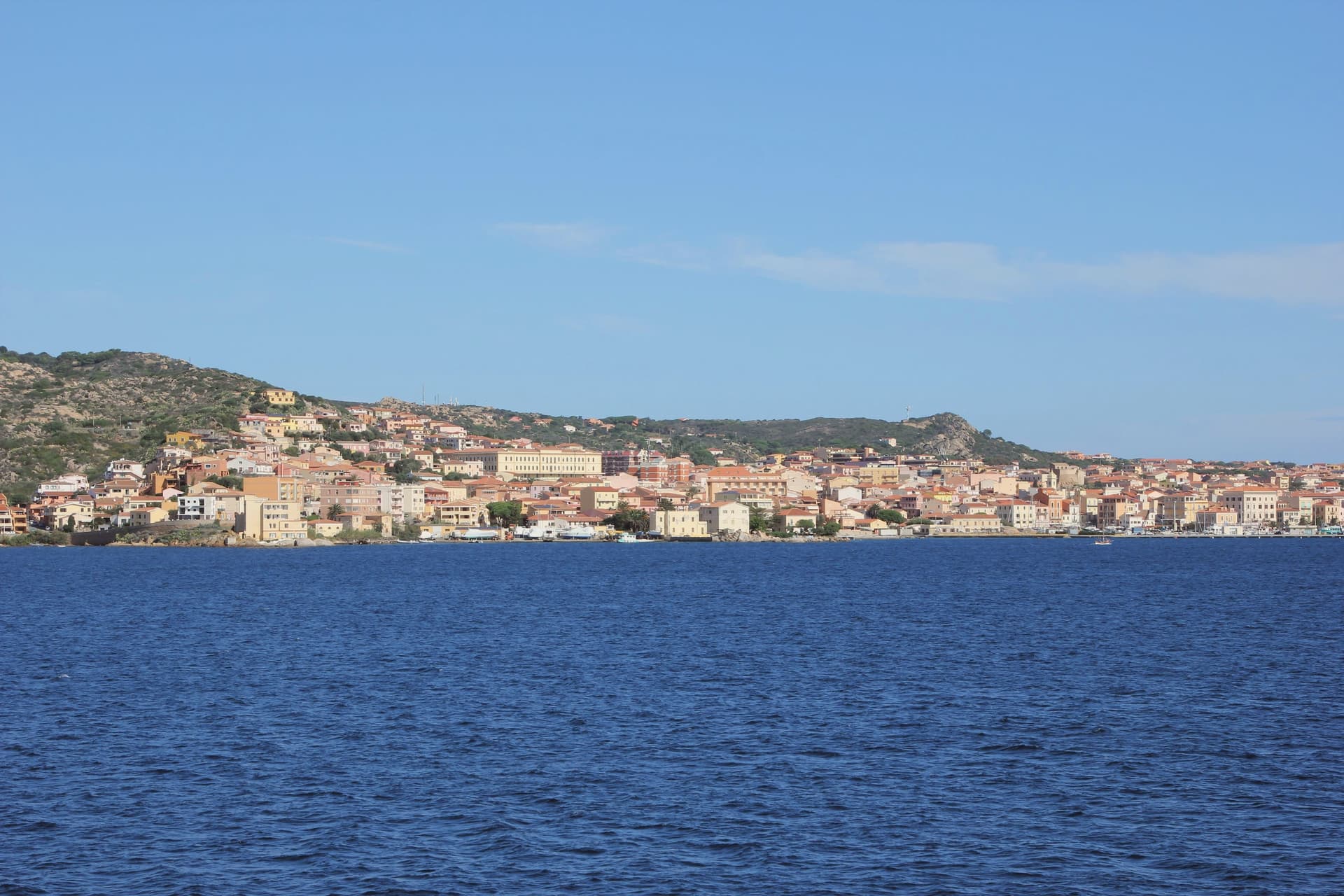
La Maddalena occupies the main island of the archipelago of the same name, sixty-two granite islands and islets in the Strait of Bonifacio between northern Sardinia and southern Corsica. The town is the only inhabited centre of the chain and the gateway to the Parco Nazionale dell'Arcipelago di La Maddalena, on the UNESCO tentative list since 2006.
A six-hundred-metre causeway links the main island to Caprera, where Giuseppe Garibaldi settled in 1856 and lived for twenty-five years until his death in 1882. His house, the Compendio Garibaldino, is a national monument with the memorial chapel and the original rooms preserved as he left them.
Admiral Horatio Nelson anchored the British Mediterranean fleet here in 1803-04 and donated a crucifix and two silver candelabra to the parish church of Santa Maria Maddalena, where they are still kept. The waters around Spargi, Budelli and Santa Maria carry the Bandiera Blu rating.
What to see in La Maddalena
- Compendio Garibaldino di Caprera. Giuseppe Garibaldi's house and burial place on the island of Caprera, occupied from 1856 to his death in 1882, now a national museum with the original furnishings.
- Chiesa di Santa Maria Maddalena. Parish church on Piazza Santa Maria Maddalena, holding the crucifix and silver candelabra donated by Admiral Nelson in 1804 during the British fleet's stay.
- Arcipelago di La Maddalena. National park of sixty-two islands and islets, with the famous pink beach of Budelli, Spargi, Santa Maria and Razzoli, on the UNESCO tentative list.
How to get to La Maddalena
Our tip
May through October is the season the archipelago opens fully: ferries from Palau every fifteen minutes, boat tours of Spargi and Budelli, the Compendio Garibaldino accessible without crowding. July and August carry the heaviest yacht traffic in northern Sardinia and the famous pink beach of Budelli is off-limits to walkers. June and late September are the best windows for swimming and beach access without the August peak.
Tempio Pausania
Why visit Tempio Pausania
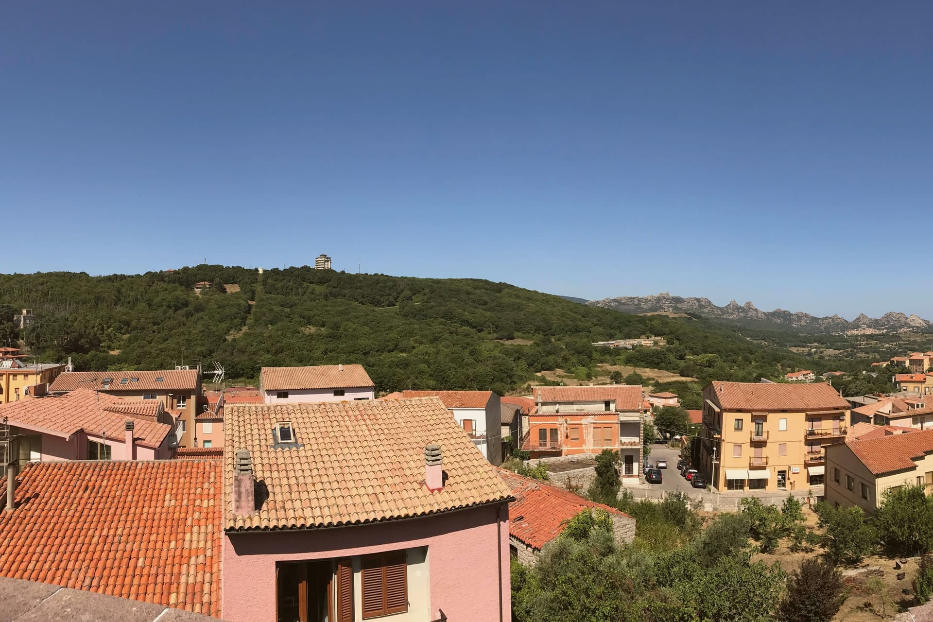
Tempio Pausania sits at 566 metres in central Gallura, at the foot of Monte Limbara, the 1,359-metre granite massif that anchors the north of the island. Almost every building in the centro storico is constructed from the grey-pink granite of the surrounding territory: noble palaces, ordinary houses, paving and kerbstones alike, the reason for the nickname città di pietra.
The town shares the role of provincial capital of Gallura Nord-Est Sardegna with Olbia. It was the seat of the ancient diocese of Phausania and added Pausania to its medieval name Templo in 1879.
The Cattedrale di San Pietro Apostolo, with a core from the early thirteenth century and a facade renovation between 1832 and 1839, sits at the centre. The Fonti di Rinaggiu, mineral springs known since Roman times for their therapeutic properties, run on the outskirts.
The Carnival of Tempio, the carrasciali timpiesu, draws around 100,000 visitors between February and March. Cork, granite and Vermentino di Gallura DOCG form the economic core.
What to see in Tempio Pausania
- Cattedrale di San Pietro Apostolo. Cathedral of the diocese of Tempio-Ampurias, original layout from the early thirteenth century, current facade and bay added in renovations of 1832-1839.
- Centro storico di Tempio Pausania. Old town built entirely of grey-pink Gallurese granite, palaces, houses and paving cut from the same quarries, the basis of the città di pietra nickname.
- Fonti di Rinaggiu. Mineral and thermal springs on the outskirts known since Roman times for diuretic properties, on a tree-lined avenue overlooking the Limbara.
How to get to Tempio Pausania
There is a railway station in the town, so you can arrive without a car and never need one while you are here. Sassari is roughly 97 minutes away by road.
Our tip
April through June and September through November are the working months at 566 metres: dry warmth on the granite, walks up the Limbara, cellar visits in the Gallura. July and August are warm but bearable thanks to altitude, with thirty to thirty-two degrees in the centro storico. The biggest event is the Carrasciali Timpiesu, the Carnival of Tempio, running between February and March with allegorical floats, masks and around 100,000 visitors.