
Piedmont · Torino
Susa
The Roman gateway at 503 meters, seat of the Cozii under Augustus and Cottius.
- Best time
- Apr–Oct
- By car
- 53 min from Turin
- By train
- Station in the comune
- Population
- 5,911
Known for
ROMAN GATEWAY
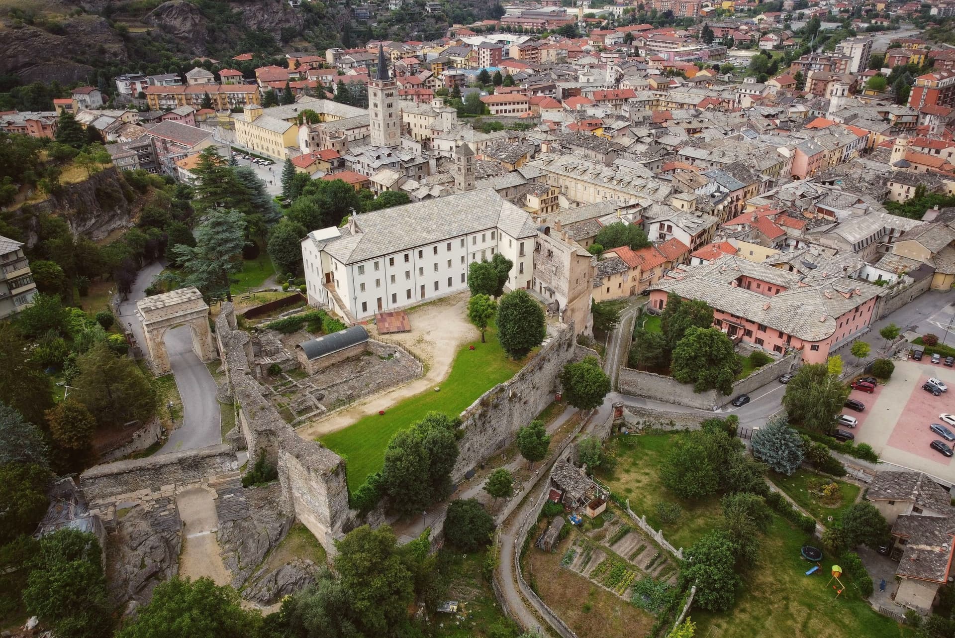
Capital of the Alpes Cottiae under Cottius and Augustus, with the Arch of 9 to 8 BC and a small amphitheatre still standing in the centre.
SAN GIUSTO
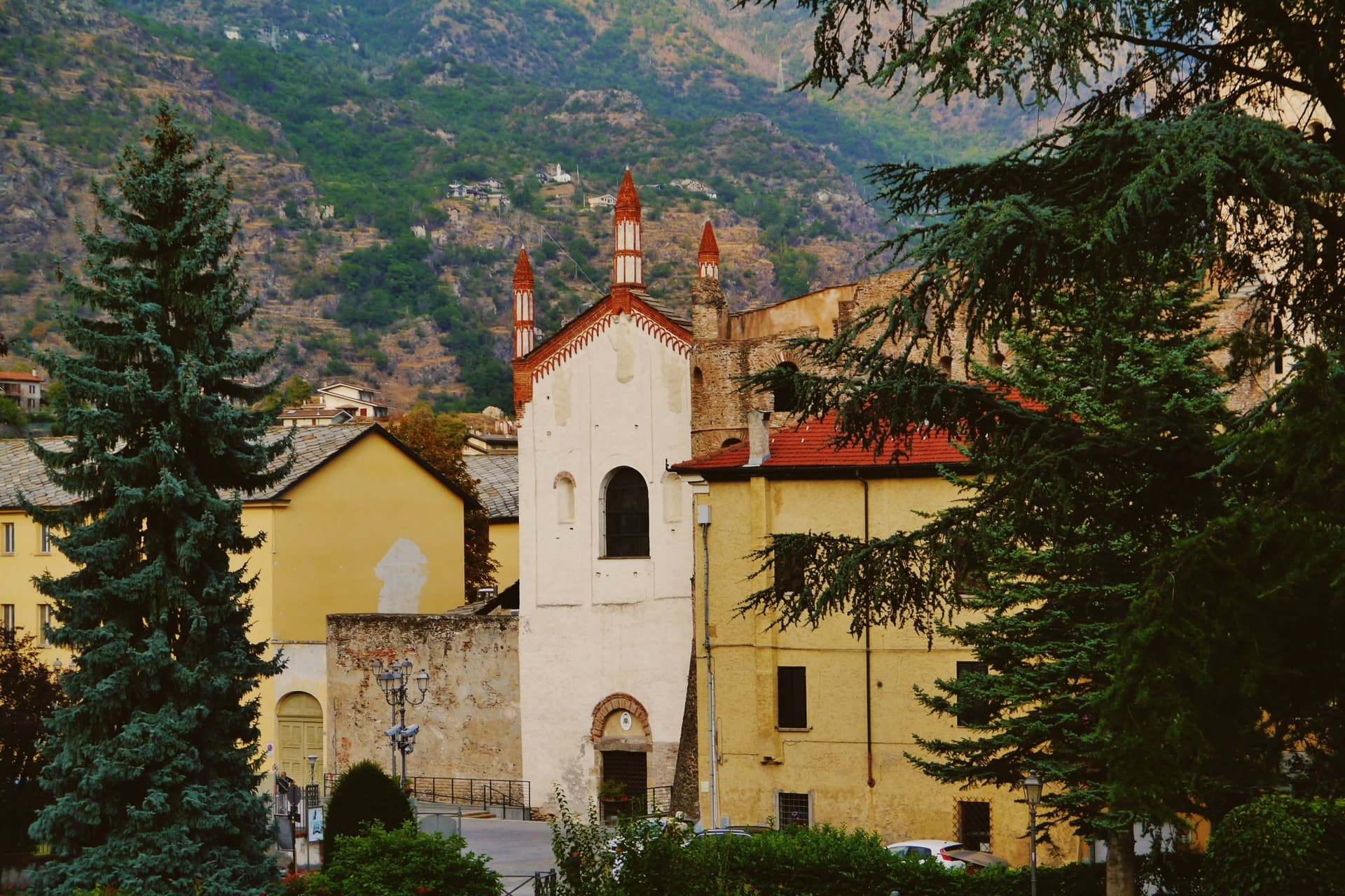
Cathedral founded 1029 as a Benedictine abbey for the saint's relics, with a 51-meter Romanesque campanile crowned in Gothic terracotta spires.
COTTIAN ALPS
Town at the foot of the Cottian Alps and the historic ascent to the Moncenisio and Montgenèvre passes between Italy and France.
MARRONE DELLA VALLE DI SUSA
The commune lies inside the Marrone della Valle di Susa IGP production zone.
When to visit
Best · Apr–Oct
- J9°
- F11°
- M12°
- A15°
- M19°
- J23°
- J26°
- A26°
- S21°
- O17°
- N12°
- D9°
- Best
- Hot or crowded
- Quiet
- Mostly closed
Daytime averages, 2020–2024. Weather data by Open-Meteo.com.
Why come
Susa sits fifty kilometers west of Torino, on the road that climbs toward the Moncenisio and Montgenèvre passes into France. Ligurians and Celts settled the site around 500 BC. It later emerged as the capital of the kingdom of the Cozii under Marcus Julius Cottius, son of King Donnus, who allied with Rome and was confirmed as prefect of the new province of Alpes Cottiae, with Segusio, modern Susa, as its capital: the arch in the town center and the town's name in the Cottian Alps both descend from that alliance.
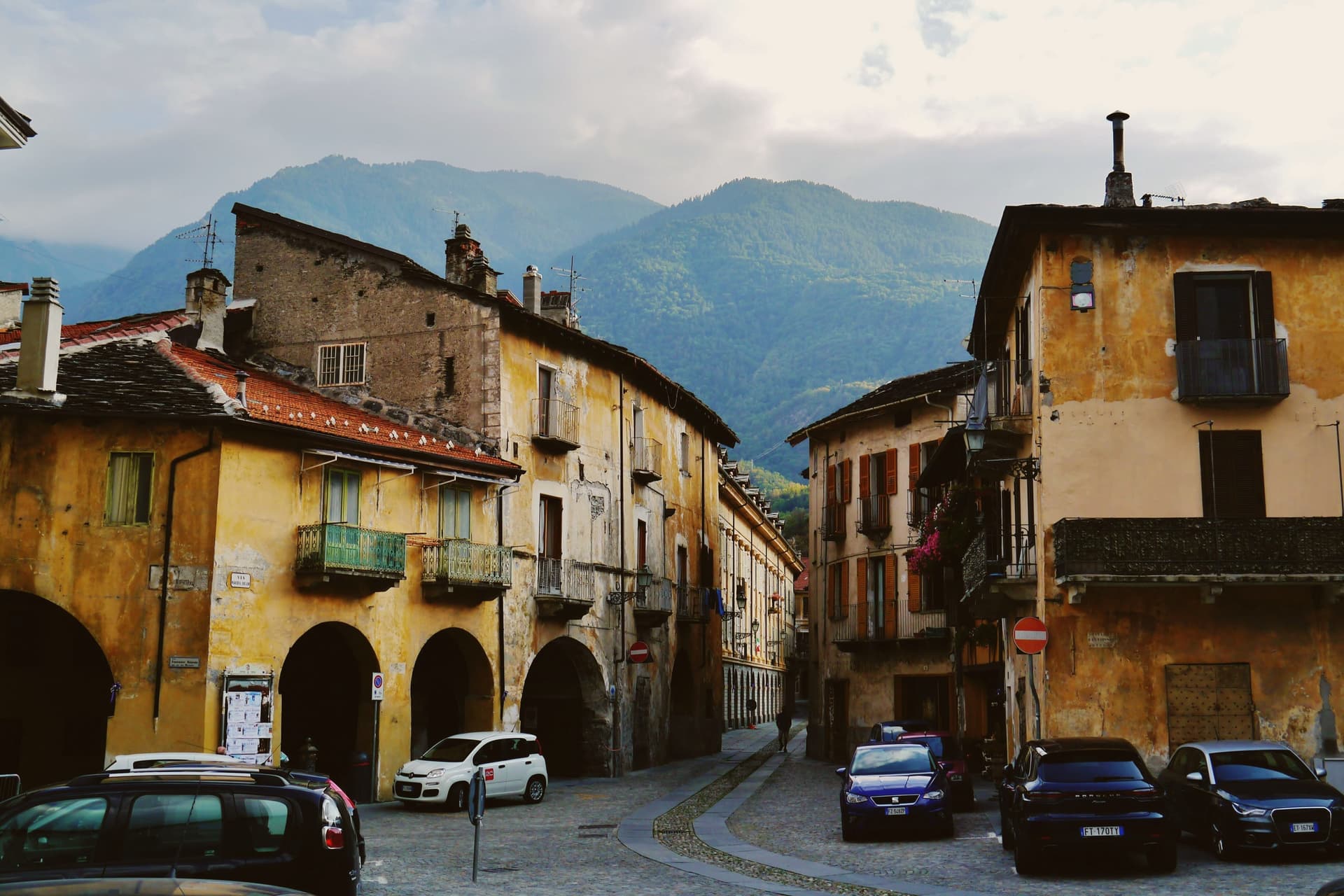
The old core, arch, cathedral and castle, sits compact around the Roman gate that the castle absorbed into its later walls, with the amphitheatre just outside that line. The pilgrim route threads through this core on its way down from the pass, meaning the town has functioned as a waypoint on the same north-south line, Roman road, medieval pilgrimage route, alpine crossing, since Ligurians and Celts first settled it. What the Cozii capital, the pilgrim stop and the mountain gateway add up to is a single fact repeated across the centuries the arch and the campanile have stood: Susa exists because of the road, not beside it.
The Sunday letter
Susa is on our list. Its letter is still to come.
We are writing about all 1,000 of these towns, one at a time, in a free letter every Sunday: the photo, the food, the festa. That is our mission. Sign up and you will be there when Susa comes up. By Peter & Sophia, from Pietrasanta.
Read on
Susa in our articles
 The best towns you can reach by train within an hour of Turin9 towns, Susa among them.
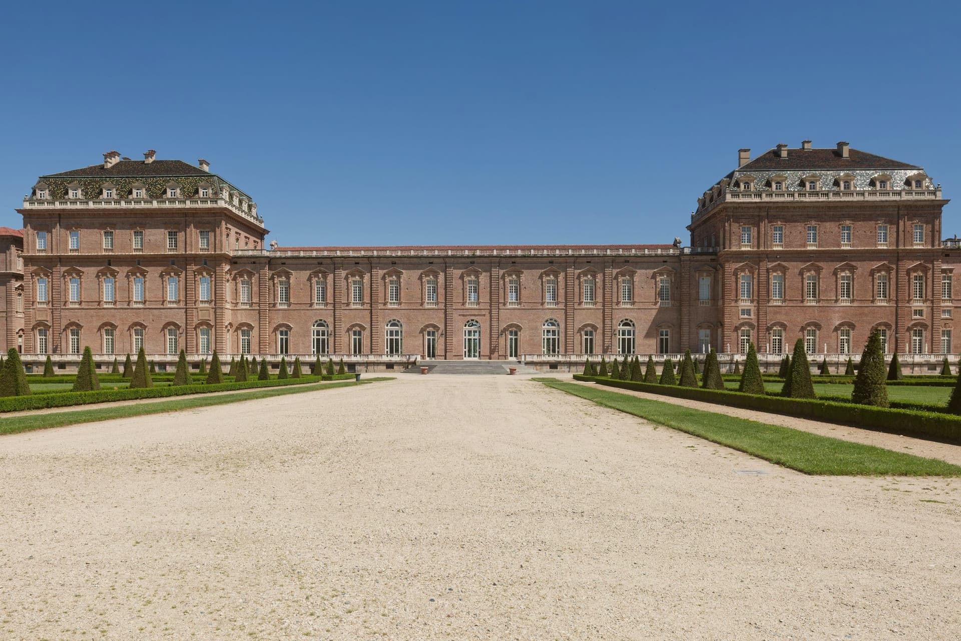 10 comuni an hour from Turin in any direction10 towns, Susa among them.
 10 mountain comuni near Turin10 towns, Susa among them.
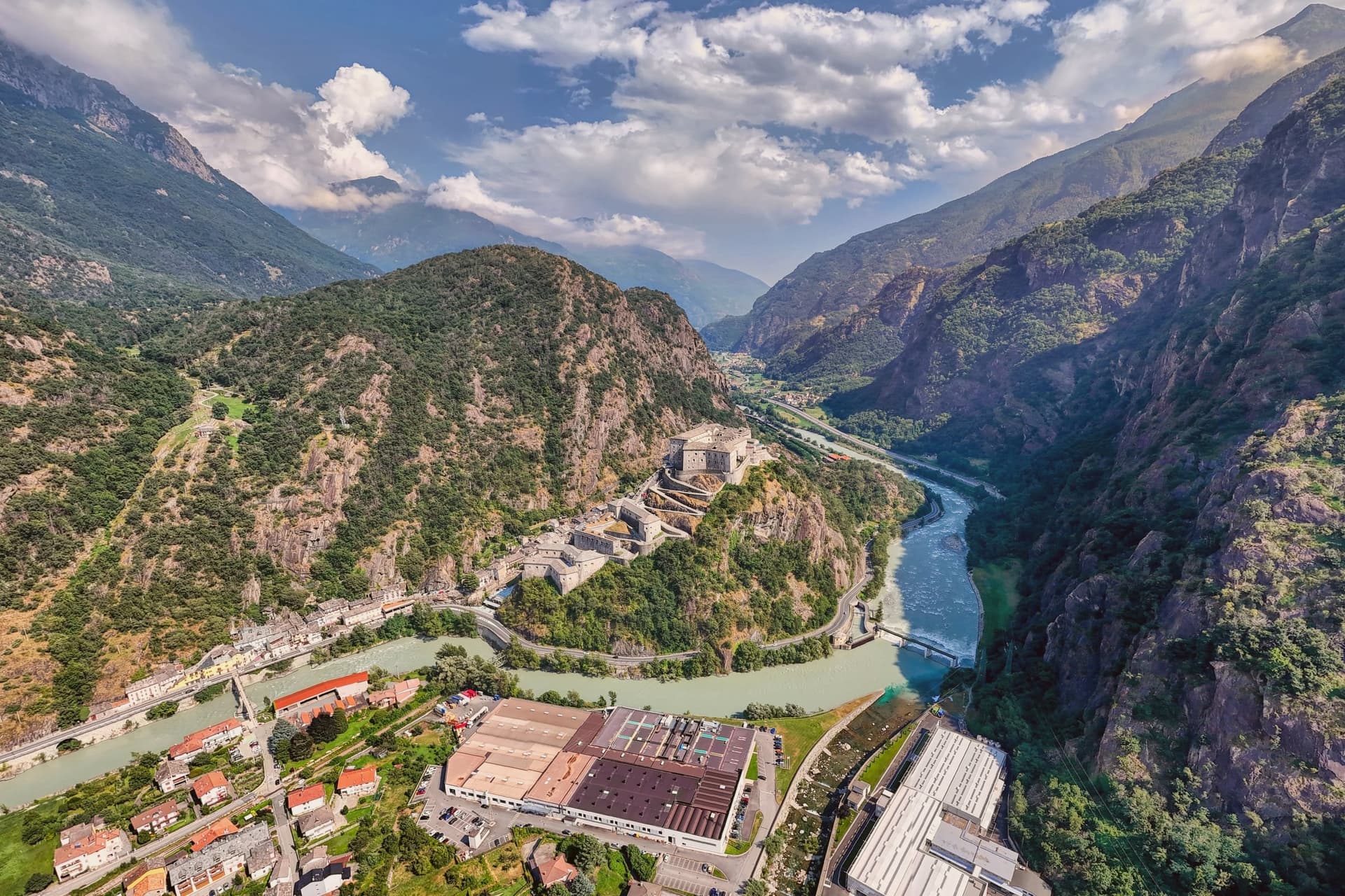 The best hidden hill towns you can reach by train within 90 minutes of Torino10 towns, Susa among them.
How to get there
From Turin (TRN), about 55 minutes by car.
Genoa (GOA) is about 2h 28m away.
By car from the centre of Milan 2h 16m.
There is a railway station in the comune, so you can arrive without a car.
Coming by train into Torino Porta Susa? Susa is about 46 minutes away by road.
What to see
Arco di Augusto
White marble arch over 13 meters tall, standing in the centre of town and counted among the best preserved of its kind in north Italy.
Cattedrale di San Giusto
Founded by Olderico Manfredi, with the terracotta spires added in the 1480s. The campanile remains the tallest feature of the skyline.
Castello della Contessa Adelaide
Built into a Roman gate on the line of the old walls, later reworked into a noble residence with medieval towers and Renaissance windows. It stands beside the cathedral.
Anfiteatro romano
Remains of a structure that once seated around 4,000, sitting just outside the historic core, a scale that speaks to the size of the Roman town it served.
Via Francigena - tappa di Susa
The route enters town on its southern descent from the pass, making Susa the first major stop in Italy for those walking down toward the Po valley.
The slow-trip planner
Building a trip? Find where Susa fits in a slow Italy circuit.
Answer five questions. We will shape a geographically coherent slow trip from the 1,000 Italian towns most travelers skip. Yours to save and share.
Living here
- Population 5,911
- In-betweeni
- Pharmacy in town
- High school within a 30-minute drive
- Train station in the comune
- Nearest airport Turin, 55 min drive
- Regional capital Torino, 53 min drive
Common questions
- What is Susa known for?
- Susa is the Roman gateway at 503 meters, seat of the Cozii under Augustus and Cottius.
- Where is Susa?
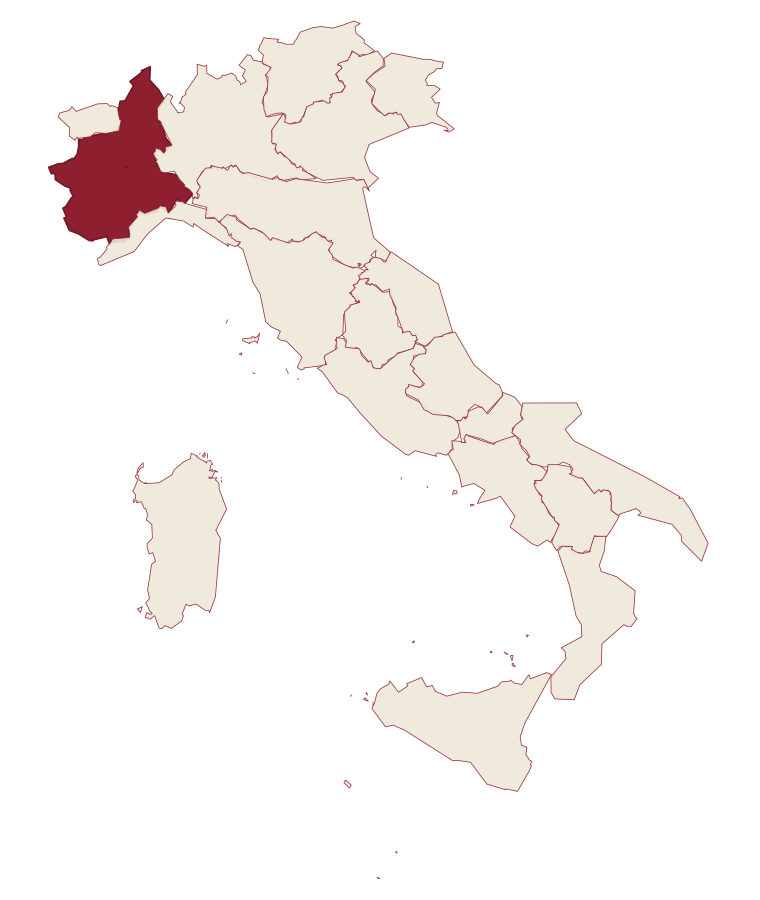
- Susa is a comune in the province of Torino, in Piedmont.
- What is the nearest airport to Susa?
- Turin (TRN), about 55 minutes by car.
- Can you get to Susa without a car?
- Yes. There is a railway station in the comune, so you can arrive by train.
- How long is the drive from Milan to Susa?
- About 2h 16m by car.
- When is the best time to visit Susa?
- Best in Apr–Oct. August is the warmest month, averaging 26 degrees, and May the wettest, with about 21 rain days.
- Which other towns are like Susa?
- Gattinara, Poppi and Città della Pieve.
- How many people live in Susa?
- 5,911 at the 2023 count.
Tags & datadesignations · numbers · sources
The numbers
- Elevation: 503 m
- Population: 5,911
- Surface area: 10.99 km²
These figures were compiled from public directories: ISTAT, OpenStreetMap and Wikidata, and from the official listings of the guides named on this page. Town details change; verify with official sources before you travel.
Similar
Towns like Susa
Gattinara
Province: Vercelli
both inland, away from the coast · both between 3,000 and 10,000 people
Poppi
Province: Arezzo
both inland, away from the coast · both between 3,000 and 10,000 people
Città della Pieve
Province: Perugia
both inland, away from the coast · both between 3,000 and 10,000 people
Arpino
Province: Frosinone
both inland, away from the coast · both between 3,000 and 10,000 people
Capranica
Province: Viterbo
both inland, away from the coast · both between 3,000 and 10,000 people
Borgo Valsugana
Province: Trento
both inland, away from the coast · both between 3,000 and 10,000 people
🟠 Bandiera Arancione
More Bandiera Arancione towns in Piedmont
Agliè
Province: Torino
A Canavese borgo at 330 meters whose Castello Ducale, a UNESCO Savoy residence since 1997, has been held by the d'Agliè since 1259.
Alagna Valsesia
Province: Vercelli
A Walser village at 1,191 meters, at the head of the Valsesia, known to off-piste skiers worldwide.
Arona
Province: Novara
A town at the southern tip of a lake, watched over by a colossus finished in 1698.
Avigliana
Province: Torino
A medieval Savoy town at 383 meters at the mouth of the Susa Valley, between two glacial lakes and the abbey on the mountain above.
Barolo
Province: Cuneo
A Langhe borgo at 301 meters whose Castello Falletti gave its name to the wine the Marchesi turned dry in the 1830s with Cavour's help.