
Piemonte · Alessandria
Serralunga di Crea
A commune of 506 holding the Sacro Monte di Crea, a UNESCO Sacri Monti site of 23 chapels around a Marian sanctuary.
Picked by Peter Benei
Letter to come
Why Serralunga di Crea is on our list
It holds UNESCO.
Subscribe and you get Serralunga di Crea's letter the day it comes out.
Visiting
- Best time
- Apr–Oct
- By car
- 1 h 14 min from Turin
- Population
- 506
- J8°
- F12°
- M14°
- A18°
- M22°
- J27°
- J30°
- A30°
- S24°
- O19°
- N12°
- D8°
- Best
- Hot or crowded
- Quiet
- Mostly closed
Daytime air temperature, averages for 2020–2024. Weather data by Open-Meteo.com.
Why come
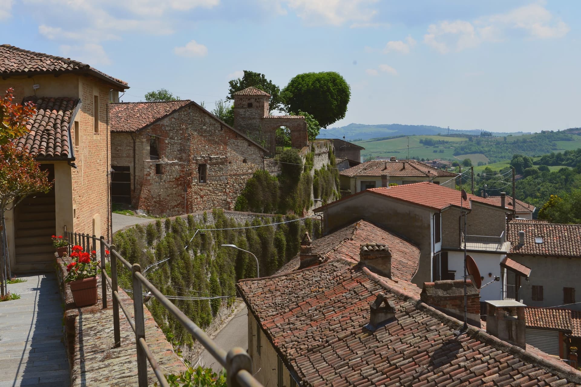
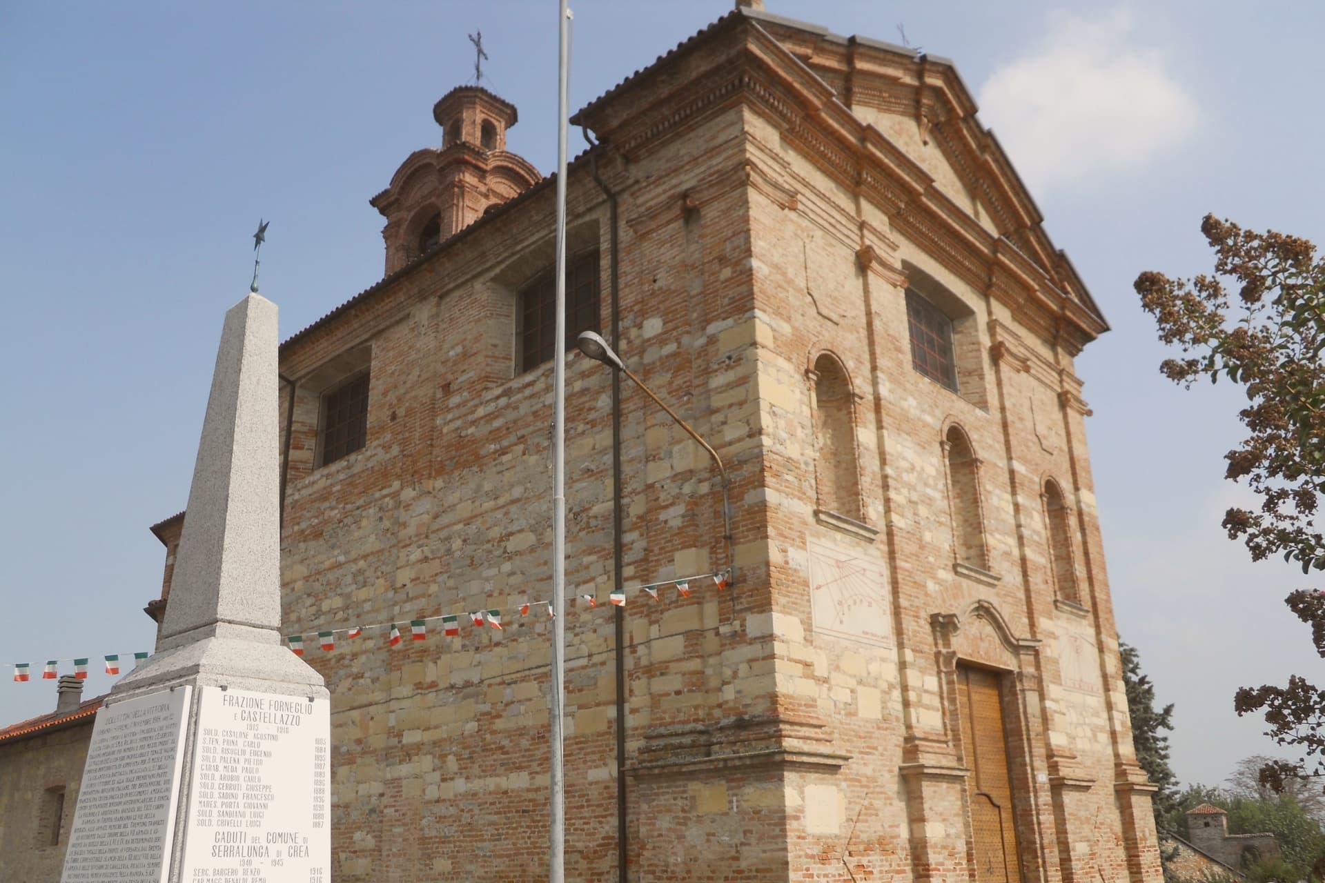
Serralunga di Crea sits in the Basso Monferrato hills forty-five kilometers east of Torino, on the highest of a series of ridges that look across the Po plain. The hill behind the village rises to 443 meters, and it is on this wooded height, rather than in the village itself, that the commune's main structures stand: the sanctuary at the center, the ring of chapels around it, and the vineyards on the lower slopes beyond the reserve boundary. The chapels were begun in 1589 by Costantino Massino on a plan of fifteen Rosary stations, expanded over the following two centuries to twenty-three chapels and five hermitages, so what stands today is the accumulation of a long building period rather than a single campaign.
The vineyards that surround the hill carry a separate and later UNESCO recognition, from 2014, so the commune holds two world heritage lines on the same stretch of ground: one on the summit, one on the slopes around it. The village below is small; the hill above is where its two distinctions both sit, layered rather than separate.
How to get there
From Turin (TRN), about 1 h 15 min by car.
Genoa (GOA) is about 1 h 34 min away.
By car from the center of Milan 1 h 34 min.
Coming by train into Torino Porta Susa? Serralunga di Crea is about 1 h 11 min away by road.
Every town within reach of Turin airport.
First time driving in Italy? Read our complete manual.
What to see
Sacro Monte di Crea
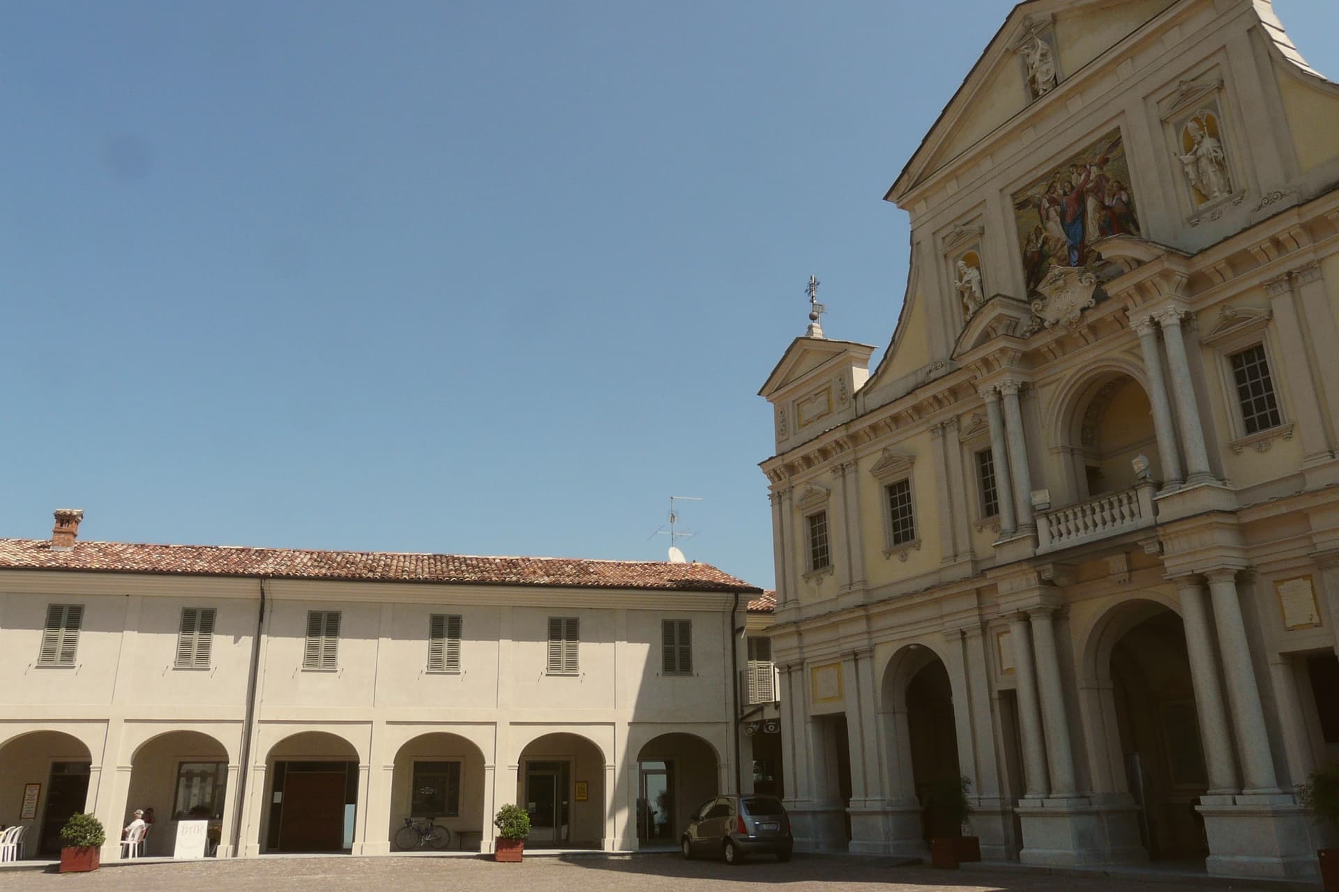
Chapels and hermitages climb the wooded hill above the village along a Rosary-plan pilgrim route, each station set among trees with views opening intermittently over the ridge.
Santuario di Nostra Signora di Crea
Marian sanctuary at the center of the Sacro Monte, the building the whole climb of chapels was arranged around, traditionally founded by Saint Eusebius of Vercelli.
Cappella del Paradiso
Final chapel of the Sacro Monte, summit of the climb, with over 300 statues in a polychrome celestial composition.
Riserva Naturale Speciale del Sacro Monte di Crea
Special nature reserve covering the wooded slopes and the chapels, protecting the Monferrato hill ecology around the pilgrim route.
Vigneti del Monferrato UNESCO
Surrounding vineyards inscribed in 2014 as part of the Vineyard Landscape of Piedmont (Langhe-Roero and Monferrato).
Living here
Could you live here?
Serralunga di Crea is at the end of the road.
- A village of 506. The nearest town of 5,000 people, Casale Monferrato, is 19 min away: past our 15-minute rule, which makes this the end of the road.
- Vercelli, a city of 45,951, is 33 min by car. Inside our 30 to 60 minutes: close for the services, far enough to keep its own life.
The rules come from our series Where to Move in Italy, written from the places we have lived: Part 1, The End of the Road · Part 2, The Small Town · Part 3, The City · Part 4, The Postcard · Part 5, The Other Half. The towns we would pick are in Part 6, The Best Towns.
We measured every town in the region on these rules, by its drive to Turin, the city we moved to: Moving to Turin and Piedmont.
- Population 506, down 11.4% since 2015 (Italy's emptying towns)
- Nearest city Vercelli, 33 min drive
- Nearest national health service hospital Casale Monferrato, 14 km as the crow flies · how healthcare works in Italy
- Homes in the center: €360 to €540 per m² to buy, €1.50 to €2.20 per m² a month to rent
All the numbers Common questions, designations, lists and sources.
More about living here
- Commuter belt
- Pharmacy in town
- High school within a 30-minute drive
- Full fibre reaches 60% of homes
- Primary school in the comune
- Earthquake zone 4, very low hazard
- Turin airport (TRN), 1 h 15 min drive, the nearest with scheduled flights
- Market day Wednesday
- Regional capital Turin, 1 h 14 min drive
If you are moving here
Who lives here
8% of residents are foreign citizens, most often from Romania and Albania, against 9% across Italy. There are 392 people over 65 for every 100 children under 15, against 216 across Italy. 50% of homes have no resident, holiday homes and empty ones counted together, against 27% across Italy. Alessandria province ranks 70th of 107 in Il Sole 24 Ore's quality of life ranking for 2025.
Health and schools
The nearest emergency room is in Casale Monferrato, 14 km as the crow flies. The nearest major one is in Alessandria, 35 km away. The nearest children's emergency room is in Alessandria, 35 km away. The nearest IB school is International School of Turin, 40 km as the crow flies. The nearest school listed as international is Alexandria International School, 34 km away.
Information, not medical advice. Confirm with a professional.
Taxes
A home that is not your main one pays 1.01% a year in property tax, charged on the cadastral value rather than the price. A main home pays none unless it is in a luxury category. The town adds 0.8% to your income tax. 7% pensioner tax: this town is not in a qualifying area.
Information, not tax advice. Confirm with a professional.
What it costs
The average household in Piemonte spends about €2,240 a month, €580 of it on food, against about €2,170 across Italy. A family of three pays about €467 a year for water, on the Piemonte average. In Alessandria, the provincial capital, in September 2026, an espresso cost €1.27, a meal in a pizzeria €10.62 and a man's haircut €23.71.
Climate and risk
It is in climate zone E, on a scale from A, the warmest, to F, the coldest, and heating may run from October 15 to April 15, up to 14 hours a day, unless the mayor changes it. 17% of residents live in a zone the national maps rate high for floods, 17% in a high or medium one. Under 1% live in a zone rated high or very high for landslides.
These shares cover the whole comune, not any one street. Check an address on IdroGEO.
Moving from abroad? Which visa you need. Sources: ISTAT, the Ministry of Health, ISPRA, the Finance Ministry, the Ministry of Enterprise, Poste Italiane, the comuni, the IB, International Schools Database, Il Sole 24 Ore, Cittadinanzattiva.
Known for
SACRO MONTE
UNESCO Sacri Monti site since 2003, 23 chapels and 5 hermitages climbing a wooded hill on the highest ridge of the Basso Monferrato.
EUSEBIAN SANCTUARY
Marian sanctuary attributed to Saint Eusebius of Vercelli around 350 AD, the spiritual core around which the Sacro Monte was built from 1589.
MONFERRATO VINES
Hillside vineyards inscribed in 2014 as part of the UNESCO Vineyard Landscape of Piedmont, the second world heritage line of the commune.
PROTECTED PRODUCTS
The commune also lies inside the Barbera d'Asti DOCG and Gorgonzola DOP production zones.
Common questions
- What is Serralunga di Crea known for?
- Serralunga di Crea is a commune of 506 holding the Sacro Monte di Crea, a UNESCO Sacri Monti site of 23 chapels around a Marian sanctuary.
- Where is Serralunga di Crea?
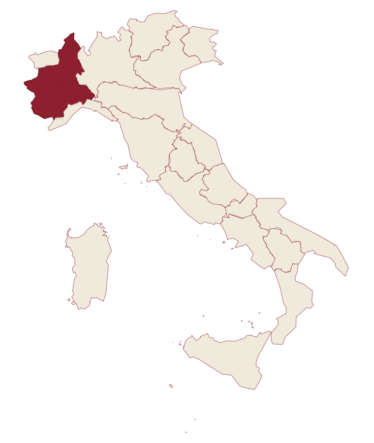
- Serralunga di Crea is a comune in the province of Alessandria, in Piemonte, at 302 meters above sea level.
- What is the nearest airport to Serralunga di Crea?
- The nearest airport with scheduled flights is Turin (TRN), about 1 h 15 min by car.
- How long is the drive from Milan to Serralunga di Crea?
- About 1 h 34 min by car.
- When is the best time to visit Serralunga di Crea?
- Best in Apr–Oct. July is the warmest month, averaging 30 degrees, and May the wettest, with about 15 rain days.
- Which other towns are like Serralunga di Crea?
- Cella Monte, Barolo and Verduno.
- How many people live in Serralunga di Crea?
- 506 residents, by ISTAT's count on 1 January 2025.
- Is Serralunga di Crea a good place to live?
- By the rules in our Where to Move in Italy series, Serralunga di Crea is at the end of the road: the nearest town of 5,000 people, Casale Monferrato, is 19 min away. The nearest city, Vercelli, is 33 min away by car. The nearest national health service hospital is in Casale Monferrato, 14 km as the crow flies. Full fibre reaches 60% of homes.
Tags & data designations · numbers · sources
Recognized as
Landscape
The numbers
- Elevation: 302 m
- Population: 506
- Surface area: 8.84 km²
These figures were compiled from public directories: ISTAT, OpenStreetMap and Wikidata, and from the official listings of the guides named on this page. Town details change; verify with official sources before you travel.
The ranked lists
Lists Serralunga di Crea appears in
- The 6 best hill towns in the province of AlessandriaAlessandria provincehill town6 towns · smallest 454 residents
- The best small towns inside a nature park in PiemontePiemonteinside a parksmall6 towns · smallest 174 residents
- The best cheese towns within two hours of GenoaNear Genoawithin 2 hourscheese zone7 towns · smallest 192 residents · closest 68 min away
- The best hidden towns with a World Heritage site in PiemontePiemonteWorld Heritagehidden7 towns · smallest 506 residents
- The best towns with a World Heritage site within 75 minutes of TurinNear Turinwithin 75 minWorld Heritage7 towns · smallest 506 residents · closest 28 min away
- The best towns with a World Heritage site within two hours of GenoaNear Genoawithin 2 hoursWorld Heritage8 towns · smallest 506 residents · closest 78 min away
Similar
Towns like Serralunga di Crea
What all six share with Serralunga di Crea: inland, away from the coast · under 1,000 people · hill towns
The letter
Read a sample letter
Chioggia | Everyone is wrong about this town
It’s not an alternative to Venice
Letters from the towns we visit. Free.
Paid plans, the moving year and the books are on the membership page.