The 6 best hill towns in the province of Alessandria
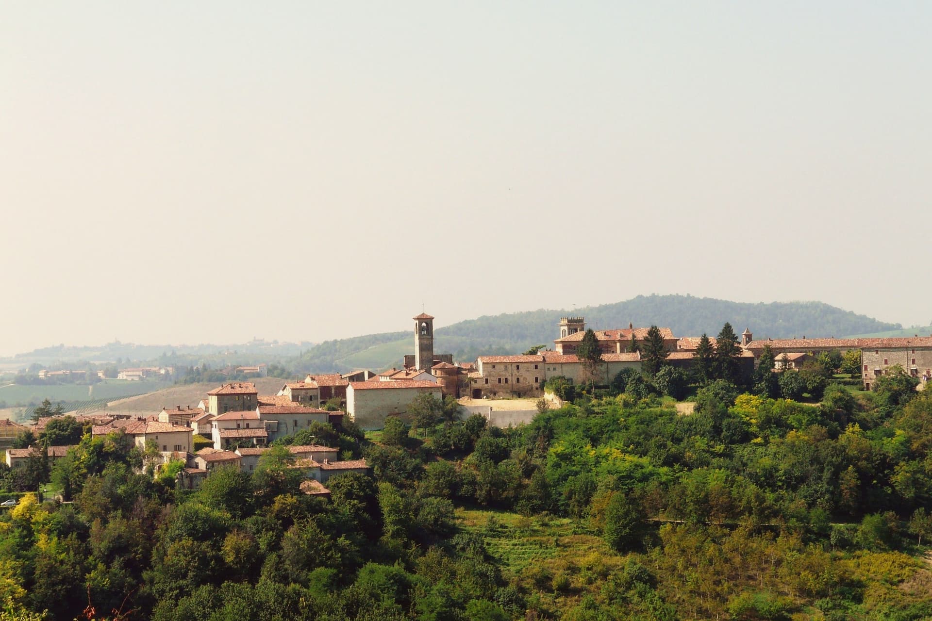
The hills between the Po and the Ligurian Apennines are built out of a soft pale sandstone the locals call pietra da cantoni, and it shows in everything: the church fronts, the retaining walls, the barrel-vaulted wine cellars cut into the rock beneath the houses. Villages sit on the ridge lines because the slopes are too steep to build on, so the streets climb rather than spread, and the view from the top is always vines, hazel groves and woodland going grey towards the mountains. The food follows the same logic, plin agnolotti in broth, bagna cauda in the cold months, salame cooked in wine, cherries and peaches from the flatter valley floors. Autumn brings fog in the mornings and truffles on the menus, and the whites here (Cortese, Timorasso) are dry and mineral in a way most people do not expect from Piedmont.
Piedmont's hill reputation belongs almost entirely to the Langhe, an hour or so west, where Barolo, Barbaresco and the streets of Alba absorb most of the visitors the region gets. There are good reasons for that: the wine list is world famous, the truffle fair pulls crowds every autumn, and the restaurants have Michelin stars. It also means booked-out tables, ridge roads full of coaches in October, and cellar visits arranged weeks ahead.
The same geology carries on east into the province of Alessandria, across Monferrato and the Val Borbera, and fewer people go. The vines, the stone cellars, the ridge villages and the long autumn lunches are all still there, with a Sacro Monte above one valley and Pellizza's painted piazza in another. These are the smaller hill towns, worth a detour if you are driving between Milan, Turin and the Ligurian coast.
Of the 8 communes we have mapped in the province of Alessandria, 6 qualify as hill towns: each is an inland hill settlement built on ground too steep to spread. The smallest, Cella Monte, has 465 residents.
Two more lists worth reading alongside this one: The best hill towns within 75 minutes of Genoa and The 10 best hill towns within 90 minutes of Genova.
Cella Monte
Why visit Cella Monte
Cella Monte sits at 268 meters in the Monferrato Casalese hills, ten kilometers south-west of Casale Monferrato. The commune holds 465 people.
The defining material is pietra da cantoni, a soft sandstone formed when the Padana sea retreated more than 20 million years ago, found only in this stretch of hill country. The village is built out of nothing else: walls, arches, courtyards and retaining structures all in the same yellow-grey block, so that the church, the palazzo and the ordinary houses of the centro storico read as one continuous fabric rather than separate buildings in a shared style.
Underneath that surface the same stone was hollowed out again. Each infernot sits off a family wine cellar, cut into the sandstone itself, and the cold, dark, still air below ground did what the rooms above could not: keep the best bottles at constant temperature, undisturbed by light, draught or noise.
The village above is stone assembled; the village below is stone removed. Cella Monte is best understood as that pairing, a single sandstone worked in two opposite directions, one raising the borgo and the other hollowing out beneath it.
What to see in Cella Monte
- Infernot di Cella Monte. Small cells reached from the family wine cellar, dark, windless and at constant temperature, built to hold the household's best bottles rather than the everyday stock.
- Ecomuseo della Pietra da Cantoni. Museum of stone and infernot construction, laid out across rooms whose restoration exposed the palazzo's older fabric beneath later plaster and masonry.
- Palazzo Volta. Restored noble palazzo in the centro storico, home of the Ecomuseo, with a fifteenth-century loggia recovered under later masonry.
How to get to Cella Monte
Novara is roughly 55 minutes away by road.
Our tip
April through June brings the Monferrato vineyards into leaf and the borgo's stone into its full yellow-grey colour. September and October are harvest, the months the infernot fill again, and the Ecomuseo runs its strongest programme. July and August get hot on the south-facing slopes; the infernot, dug straight into sandstone at constant temperature year-round, are the natural refuge between two and five in the afternoon.
Serralunga di Crea
Why visit Serralunga di Crea
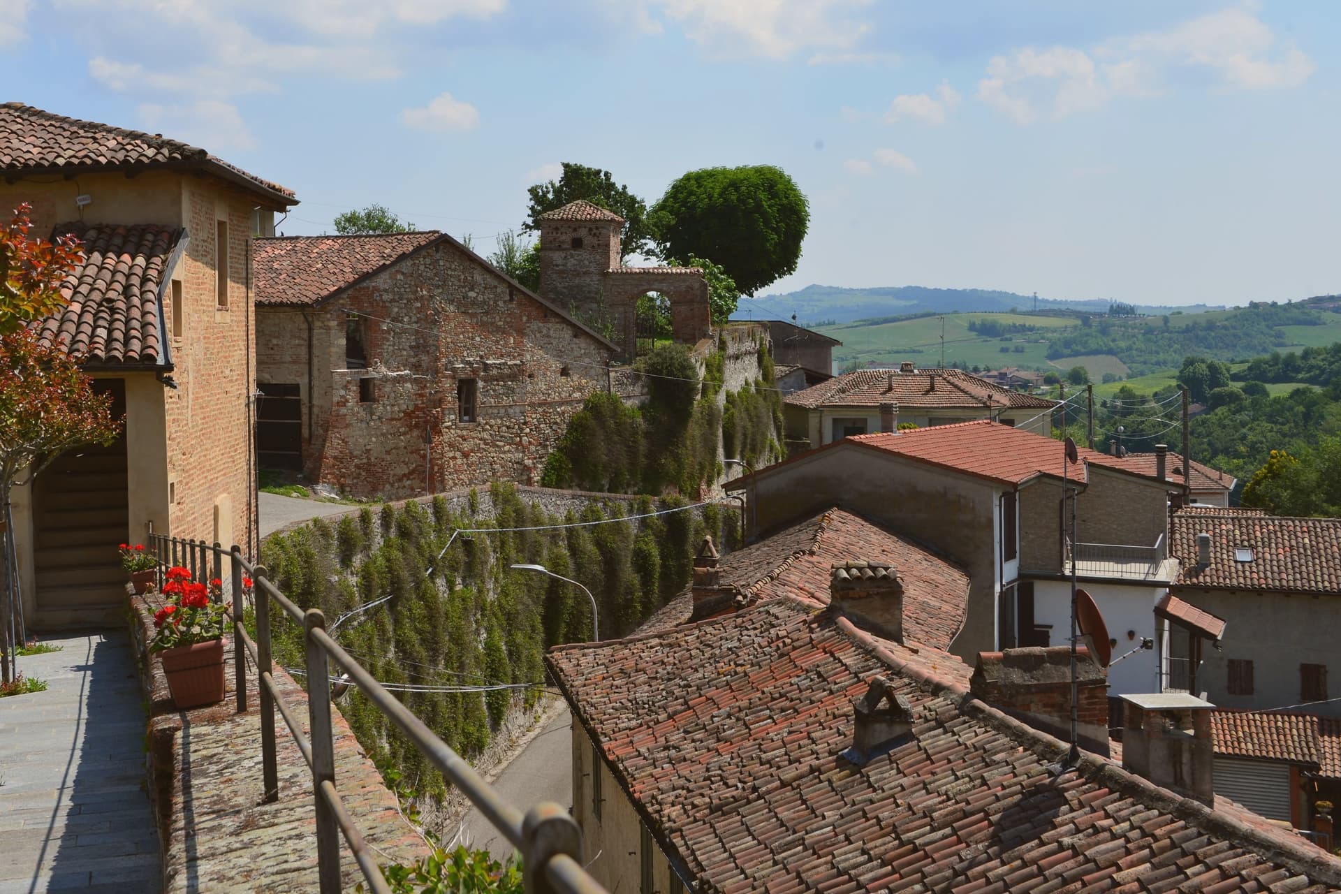
Serralunga di Crea sits in the Basso Monferrato hills forty-five kilometers east of Torino, on the highest of a series of ridges that look across the Po plain. The hill behind the village rises to 443 meters, and it is on this wooded height, rather than in the village itself, that the commune's main structures stand: the sanctuary at the centre, the ring of chapels around it, and the vineyards on the lower slopes beyond the reserve boundary.
The chapels were begun in 1589 by Costantino Massino on a plan of fifteen Rosary stations, expanded over the following two centuries to twenty-three chapels and five hermitages, so what stands today is the accumulation of a long building period rather than a single campaign. The vineyards that surround the hill carry a separate and later UNESCO recognition, from 2014, so the commune holds two world heritage lines on the same stretch of ground: one on the summit, one on the slopes around it.
The village below is small; the hill above is where its two distinctions both sit, layered rather than separate.
What to see in Serralunga di Crea
- Sacro Monte di Crea. Chapels and hermitages climb the wooded hill above the village along a Rosary-plan pilgrim route, each station set among trees with views opening intermittently over the ridge.
- Santuario di Nostra Signora di Crea. Marian sanctuary at the centre of the Sacro Monte, the building the whole climb of chapels was arranged around, traditionally founded by Saint Eusebius of Vercelli.
- Cappella del Paradiso. Final chapel of the Sacro Monte, summit of the climb, with over 300 statues in a polychrome celestial composition.
How to get to Serralunga di Crea
Novara is roughly 58 minutes away by road.
Our tip
April through June is the green window in the Basso Monferrato: hills coming into leaf, the climb up the Sacro Monte cool in the morning, and the panorama across the Po plain at its clearest. July and August touch the mid-thirties on the open ridges; the woods around the chapels stay cooler, but the late afternoon climb is hard work. September and October are the wine months, with Monferrato harvest in the surrounding cantine and pilgrim groups returning for the Rosary festivals.
Garbagna
Why visit Garbagna
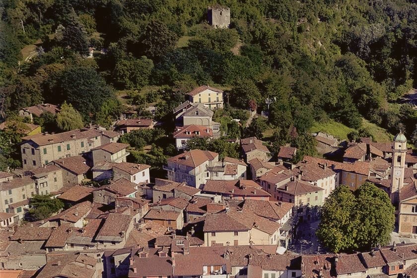
The town sits in the Tortonese hills of eastern Piedmont, forty kilometers from Genova and thirty-five from Alessandria, at the point where the Curone, Grue and Ossona valleys meet. The architecture leans south toward Liguria rather than west toward the wider Piedmontese hill towns: tall houses pressed together, narrow stone streets, carved portals and an aristocratic palace surviving at the center, all giving the place the feel of a Ligurian entroterra village transplanted into Piedmont.
The upper Val Curone around the town is the growing ground for the Ciliegia Bella di Garbagna, the deep-red cherry harvested by hand each June, with Garbagna standing as its commercial center. The same eastern slopes fall inside the Colli Tortonesi DOC, where Pinot Nero is grown alongside the cherry orchards.
The town's built form and its produce both point the same direction: a Piedmontese address with a Ligurian character, shaped as much by the valley's geography as by the province it belongs to on the map.
What to see in Garbagna
- Palazzo Fieschi-Alvigini. Historic palace in the centro storico, the surviving aristocratic anchor of the medieval Ligurian-style core.
- Centro storico. Tall houses leaning against each other along narrow streets, arches and carved portals, closer in feel to Ligurian than Piedmontese borghi.
- Cherry orchards of the Val Curone. Hand-harvested groves of the Ciliegia Bella di Garbagna across the central weeks of June, the town's signature agricultural landscape.
How to get to Garbagna
Genova is roughly 65 minutes away by road.
Our tip
April through June is cherry country at 270 meters, with the trees in flower in April and the Ciliegia Bella harvest in mid-June. September and October bring the Colli Tortonesi grape harvest and dry, warm days that suit walking the narrow streets of the centro storico. July and August are warm in the Tortonese hills; the tall houses pressed together give shade through the hottest hours.
Volpedo
Why visit Volpedo
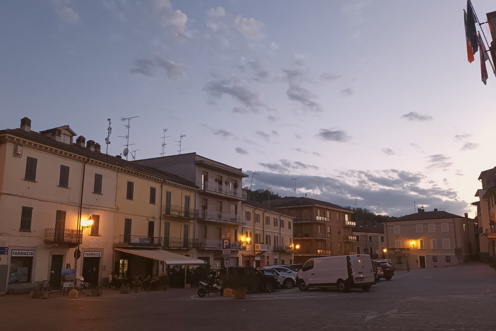
Volpedo sits at 182 meters in the Colli Tortonesi, fifty-five kilometers north of Genova, on the lower slopes between the Curone and the Grue. The two rivers frame the hill country that supplies the DOC wines, and the village itself is small enough that its medieval core, its parish church at the edge of town, and the painter's studio at the opposite edge all sit within walking distance of one another.
Giuseppe Pellizza was born in Volpedo on 28 July 1868, studied with Fattori at the Accademia in Florence, and returned in 1892, when he began signing his work da Volpedo. He married Teresa Bidone, who died in childbirth in 1907, the same year Pellizza died by his own hand in the studio he had built in 1888.
That studio stands still, kept as he left it. The centro storico's own piazza served as the setting for his 1901 canvas, painted a few years before his death.
The town's identity rests on that short span between 1868 and 1907: a painter who left, trained elsewhere, and came back to set his most famous work in the square outside his door, on hills he kept painting until the end.
What to see in Volpedo
- Studio-Museo di Pellizza da Volpedo. House and studio the painter built in 1888 at the edge of the centro storico, kept as he left it with brushes, easels and the preparatory cartoni for Il Quarto Stato.
- Museo Didattico Pellizza da Volpedo. Civic museum on Divisionist technique, with reproductions and documents tracking the canvas from first sketches to finished composition.
- Pieve di Santa Maria. Eleventh-century Romanesque pieve at the edge of the village, the oldest sacred building in Volpedo and the church of the painter's family.
How to get to Volpedo
Piacenza is roughly 64 minutes away by road.
Our tip
April through June is the green window in the Colli Tortonesi, when the vineyards leaf out and the studio gardens open for full hours. September and October are the harvest months across the Timorasso and Barbera rows, with cooler air on the central piazza Pellizza painted. July and August warm the lower hills to the low thirties; the studio interior stays cool, kept on the painter's original ventilation, and the piazza thins after lunch.
Gavi
Why visit Gavi
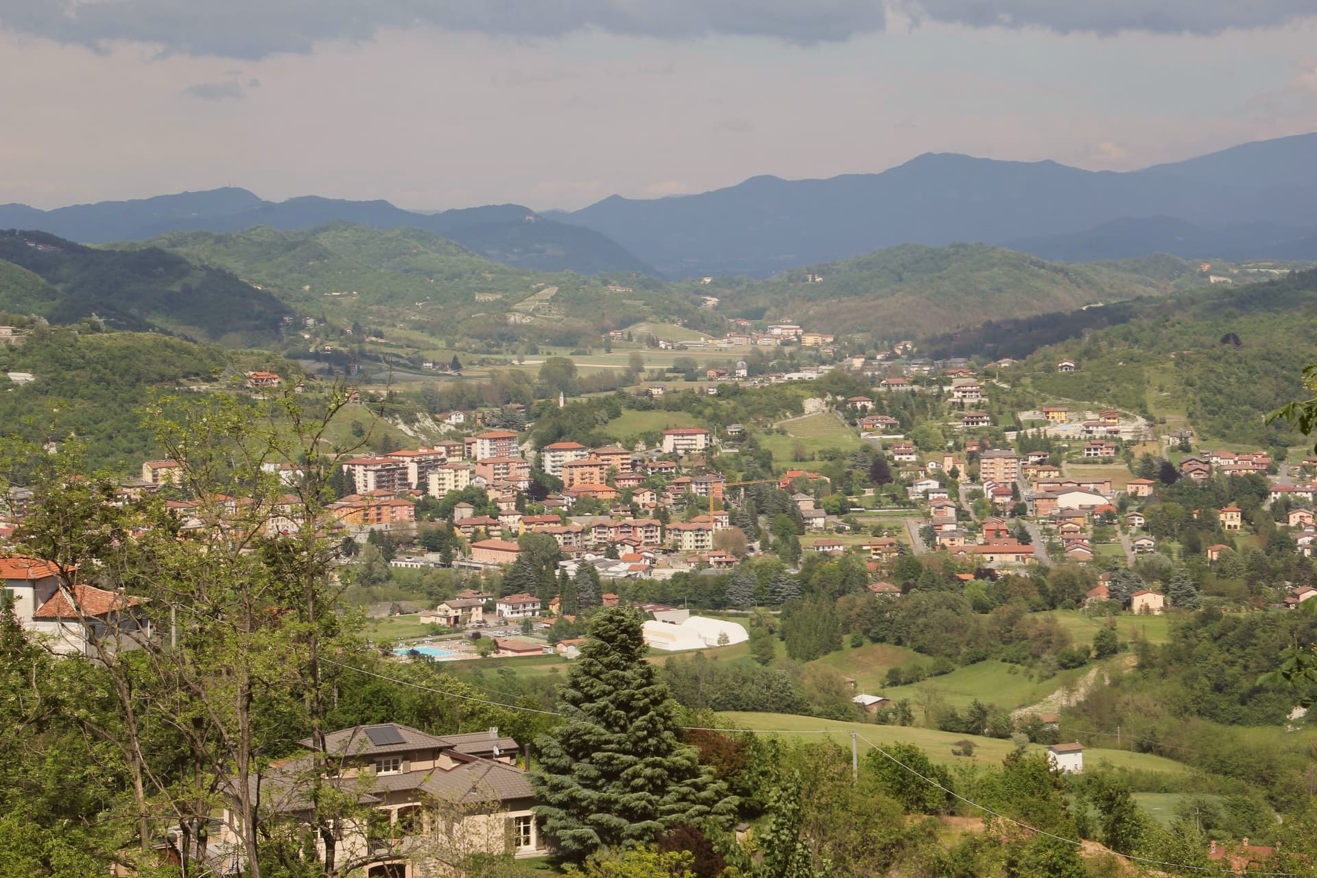
Gavi sits at 233 meters where the Lemme stream meets the Rio Neirone, the southern edge of Piemonte before the Apennines drop to Genova. The first record of vines here is a 972 tribute paid to the Republic of Genoa, three Genoese pounds of wine.
The medieval town clusters along the narrow valley below the Forte di Gavi, a polygonal star fortress built and expanded by the Genoese between 1540 and 1673 on the foundations of a tenth-century castle. The fort fell to French-Savoyard troops in 1625 and was retaken in twenty-one days; under the Savoy it became a prison, then a prisoner-of-war camp for Austro-Hungarian and later Allied soldiers in both world wars.
Cortese di Gavi was made DOC in 1974 and DOCG in 1998. Wine from vines inside the commune may be labeled Gavi di Gavi, and the consortium maintains a separate denomination for grapes grown in the historic center.
What to see in Gavi
- Forte di Gavi. Polygonal star fortress on the hill above the town, built by the Genoese 1540 to 1673, later a Savoy prison and WWI/WWII POW camp.
- Chiesa di San Giacomo Maggiore. Romanesque parish church in the medieval center, with twelfth-century stonework and a baroque interior.
- Centro storico. Stone-house old town along the Lemme stream, arcaded streets and small piazzas framed by terraced vineyards.
How to get to Gavi
Genova is roughly 54 minutes away by road.
Our tip
April through October is the year. May and June bring green hills and the Lemme running clear; September and October are dry, with the harvest and the first cool nights. July and August touch the high twenties; the Forte di Gavi closes its tower walks in the afternoon heat. Gavi sotto il Forte falls in July.
Ovada
Why visit Ovada
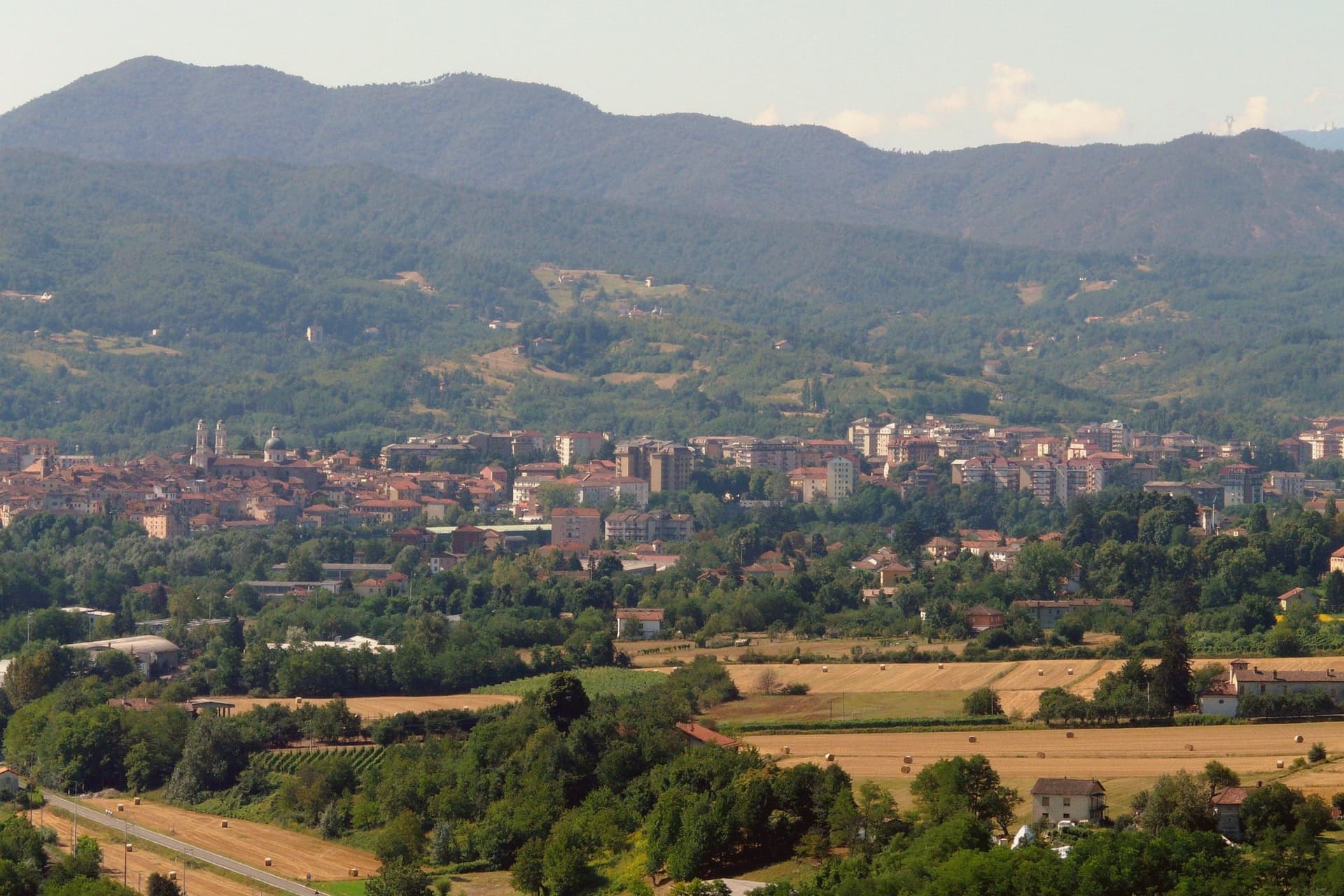
Ovada sits at 186 meters at the confluence of the Orba and the Stura, in the southern Monferrato hills, 35 kilometres north of Genova on the old salt road between the port and the Po plain. The painted façades and the tall narrow houses still show the imprint of the Republic of Genoa, which held the town through the Middle Ages alongside the Marquises of Monferrato.
Dolcetto from the Ovadese hills was already commercialised in the Lombard period (seventh and eighth century) and was the first Dolcetto in Piemonte to win DOC status, in 1972; the DOCG for Ovada Superiore came in 2008. The Chiesa Parrocchiale di Nostra Signora Assunta, with its two twin bell towers, was designed by Gio Antonio Delfrate after the Genoese Basilica di Santa Maria delle Vigne, built from 1772 to 1781 and consecrated in 1801.
The Capuchin church was built from 1640 after a plague vow of 1631 and suppressed under Napoleon in 1810. Ovada carries Città del Vino.
What to see in Ovada
- Chiesa Parrocchiale di Nostra Signora Assunta. Twin-bell-tower parish church built 1772–1781 by Gio Antonio Delfrate, modelled on Santa Maria delle Vigne in Genova, consecrated 1801.
- Loggia di San Sebastiano. Medieval loggia, the original parish church of Ovada dedicated to Santa Maria, now used as a venue for cultural events.
- Chiesa dell'Immacolata Concezione (Cappuccini). Capuchin church begun in 1640 after a 1631 plague vow, single nave with two side chapels, suppressed in 1810 under Napoleon's ecclesiastical decree.
How to get to Ovada
There is a railway station in the town, so you can arrive without a car and never need one while you are here. Genova is roughly 47 minutes away by road.
Our tip
April through June is the green window in the Ovadese hills, vines breaking bud and the rivers running off the Ligurian Apennines. July and August touch the mid-thirties; the centro storico thins after lunch and the Orba pools become bathing spots for residents. September and October are the harvest months, the entire Ovada DOCG zone working through vendemmia, and the cantine open for tasting.