

Campania · Benevento
Sant'Agata de' Goti
A medieval town built on a tuff cliff between two gorges, the houses standing flush with the edge over the Isclero river below.
Known for
TUFF CLIFF
The town stands on a volcanic tuff spur between two gorges; the back walls of the cliffside houses form a single vertical face.
FALANGHINA & AGLIANICO
Sant'Agata de' Goti Falanghina DOC and Aglianico DOC riserva are grown on the slopes around the town below Monte Taburno.
SAN MENNA
Romanesque church consecrated 1110, with the oldest cosmatesque marble pavement in continental southern Italy.
When to visit
Best · Apr–Oct
- J12°
- F14°
- M15°
- A18°
- M23°
- J29°
- J33°
- A33°
- S28°
- O22°
- N17°
- D13°
- Best
- Hot or crowded
- Quiet
- Mostly closed
Daytime averages, 2020–2024. Weather data by Open-Meteo.com.
The festa: Sant'Agata, 5 February
Why come
Sant'Agata de' Goti sits on a tuff spur between the Martorano and Riello gorges, thirty-five kilometers northeast of Naples and west of Monte Taburno. The houses on the edge of the centro are built flush with the cliff, their back walls forming a vertical face above the Isclero river thirty meters below. The Samnites founded Saticula here in the sixth century BC; the current name comes from the Goths who held the town in the sixth century AD, then from Saint Agatha of Sicily as titular of the cathedral.
The Lombards of Benevento, the Normans, and the Angevins each rebuilt the castle on the western edge. The Duomo dell'Assunta in the centro keeps a twelfth-century crypt under a Baroque rebuild. The commune is a Bandiera Arancione of the Touring Club Italiano, holds the Sant'Agata de' Goti Aglianico DOC and Falanghina DOC, and is part of the Città della Nocciola network for the Nocciola di Avellino DOP grown around it.
The Sunday letter
We haven’t written Sant'Agata de' Goti’s letter yet.
One town every Sunday, with the photo, the food, the festa. Be there when this one comes up. Free, by Peter & Sophia from Pietrasanta.
How to get there
From Naples / Salerno (NAP), about 46 minutes by car.
Rome (FCO) is about 3h 10m away.
By car from Naples 51 minutes or Salerno 1h 8m.
What to see
Castello Ducale
Medieval fortress on the western edge of the cliff, rebuilt by the Lombards, the Normans and the Angevins, now a residence with restored rooms.
Duomo dell'Assunta
Tenth-century cathedral with a twelfth-century crypt under a Baroque rebuild, columns reused from a Roman temple of Demeter.
Chiesa dell'Annunziata
Late Gothic church with a fifteenth-century fresco of the Annunciation and a wooden ceiling carved with the symbols of Christ's passion.
Chiesa di San Menna
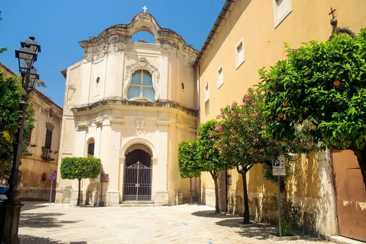
Romanesque church consecrated in 1110 with a cosmatesque pavement of polychrome marble, the oldest in continental southern Italy.
Centro storico sul tufo
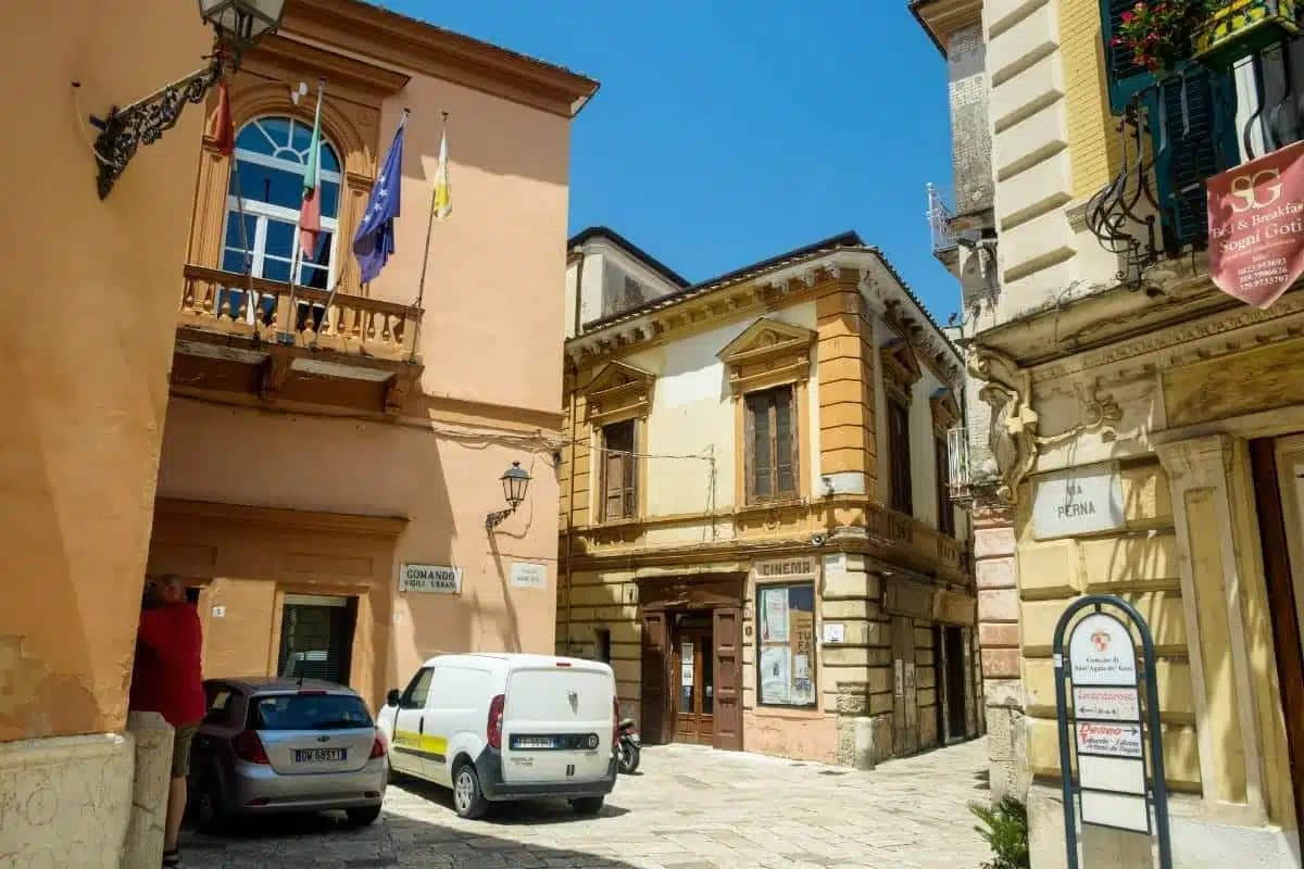
Cliff-edge old town where the houses are built flush with the tuff face above the Isclero river thirty meters below.
The slow-trip planner
Building a trip? Find where Sant'Agata de' Goti fits in a slow Italy circuit.
Answer five questions. We will shape a geographically coherent slow trip from the 1,000 Italian towns most travelers skip. Yours to save and share.
We recommend
Where to eat
Not our picks, but places the guides put their name to: a Michelin star, a Gambero Rosso fork, a Slow Food snail, a Michelin Key for the hotels. Worth a table, a counter, or a night when you pass through.
AgapeRistorante
Agape has one Gambero Rosso fork (77/100) to its name.
Antico BorgoTrattoria
Two Gambero Rosso prawns, at Antico Borgo.
Through the year
What happens here
Feasts and festivals that come back year after year. We give the month rather than the date, because the date moves and the month rarely does. Check with the source before you plan a journey around one.
Sagra Sansilvestrese a Sant'Agata De' Gotifood festival
usually held in August. itinerarinelgusto.it
Living here
- Population 10,282
- In-betweeni
- Pharmacy in town
- High school within a 30-minute drive
- Nearest airport Naples / Salerno, 46 min drive
- Regional capital Napoli, 51 min drive
Tags & datadesignations · numbers · sources
The numbers
- Elevation: 156 m
- Population: 10,282
- Surface area: 63.38 km²
These figures were compiled from public directories — ISTAT, OpenStreetMap, Wikidata — and from the official listings of the guides named on this page. Town details change; verify with official sources before you travel.
Similar
Towns like Sant'Agata de' Goti
Castelvetro di Modena
Province: Modena
both inland, away from the coast · both over 10,000 people
Oria
Province: Brindisi
both inland, away from the coast · both over 10,000 people
Ispica
Province: Ragusa
both inland, away from the coast · both over 10,000 people
Vignola
Province: Modena
both inland, away from the coast · both over 10,000 people
Nardò
Province: Lecce
both inland, away from the coast · both over 10,000 people
Nola
Province: Napoli
both inland, away from the coast · both over 10,000 people
🟠 Bandiera Arancione
More Bandiera Arancione towns in Campania
Cerreto Sannita
Province: Benevento
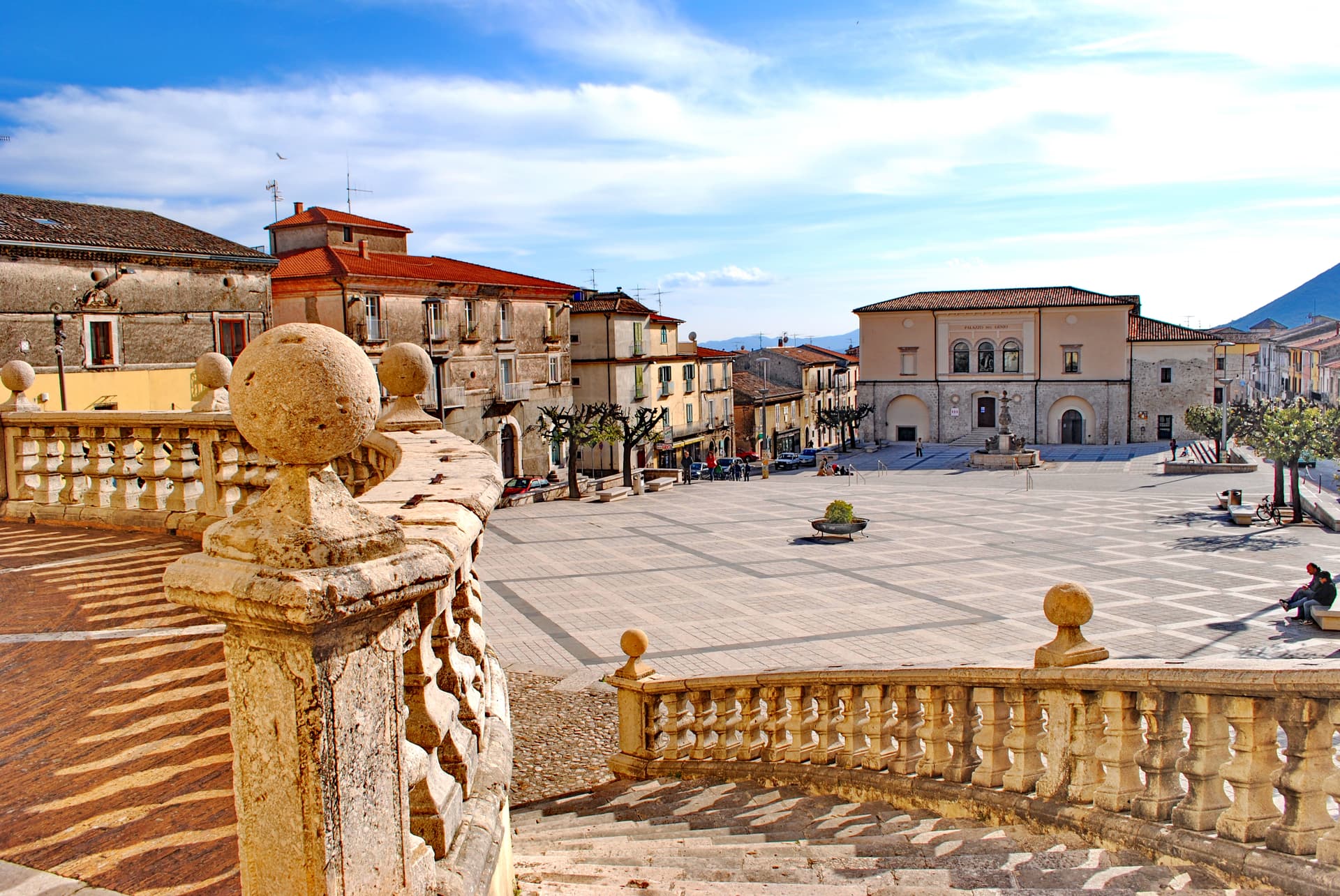
A Sannio ceramics town at 290 meters, replanned on an orthogonal grid after the 1688 earthquake leveled the old hill.
Letino
Province: Caserta
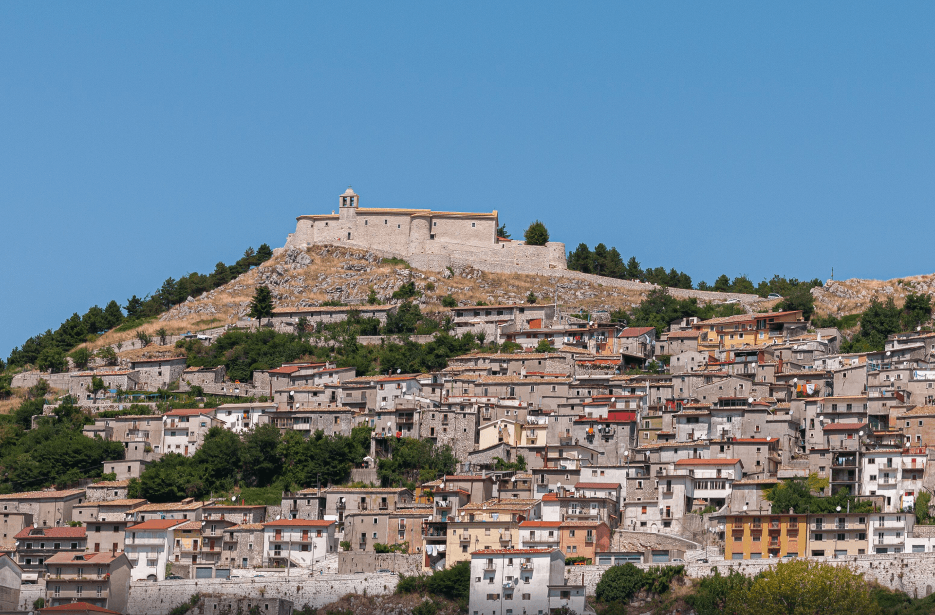
At 961 meters the highest commune in the province of Caserta, where in April 1877 anarchists declared a Republic of Letino in the village hall.
Morigerati
Province: Salerno
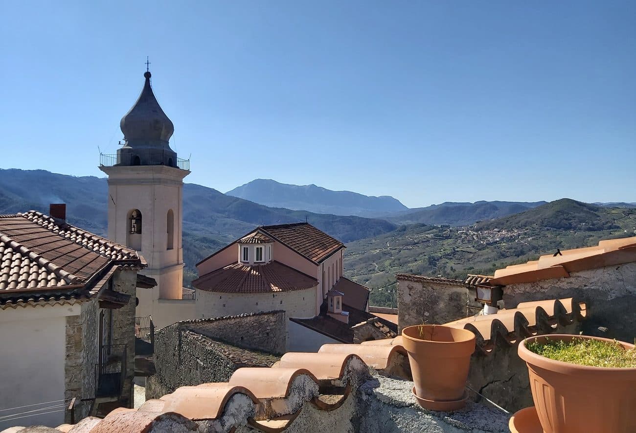
A 608-person Cilento village above the Bussento gorge, the river surfacing from underground caves directly beneath the cliffs.
Zungoli
Province: Avellino
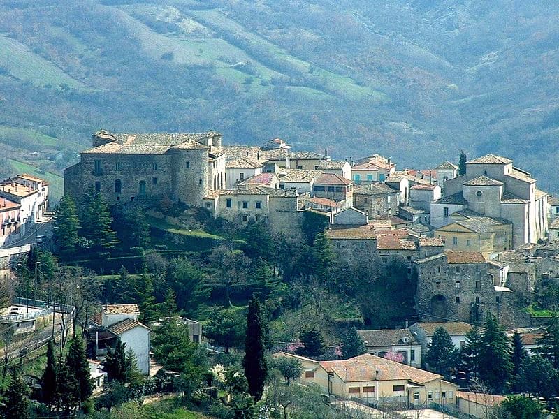
An Irpinia ridge between the Ufita valley and the Daunian hills, with walls above and tuff caves below the houses.