
The best small towns inside a nature park in Lombardia
Lombardia keeps most of its wild land in regional parks, and the good news for walkers is that people still live inside them. Villages of grey stone and slate roofs sit under limestone walls in the Orobie valleys, chestnut woods climb behind them, and the paths begin where the last house ends. Kitchens run on mountain butter, casoncelli, polenta taragna heavy with cheese, and bitto or formai de mut bought from the dairy that made it. In late September the larches turn and the pastures come down; in high summer the lake parks smell of olive leaves and lemon houses rather than pine.
Almost everyone entering Lombardia's outdoors does it from the water, at Como. Bellagio and the ferry landings fill from Easter until October, coach parties queue for the villa gardens, and the lakeside road narrows to a single slow line of traffic. It is beautiful and it is busy, and the crowd rarely gets more than a short walk above the shoreline.
The protected land carries on well past that. Garda's western shore rises into a park of cliffs and hanging terraces, the Adamello and Stelvio parks hold glaciers above Valcamonica and the head of the Oglio valley, the Orobie ridges shelter old mining and wool villages, and the moraine hills near Mantua guard their own small park of woods and castles. The towns here are smaller, the beds fewer, and the trailheads a short step from the piazza. These are the ones on this list.
Of the 65 communes we have mapped in Lombardia, 20 qualify as towns inside a nature park: each sits inside a regional nature park. This list is the small ones, 10 in all, ordered smallest first. The smallest, Cimbergo, has 533 residents.
Elsewhere in the catalogue: The 8 best towns inside a nature park in the province of Brescia and The best lake towns inside a nature park in Lombardia.
Cimbergo
Why visit Cimbergo
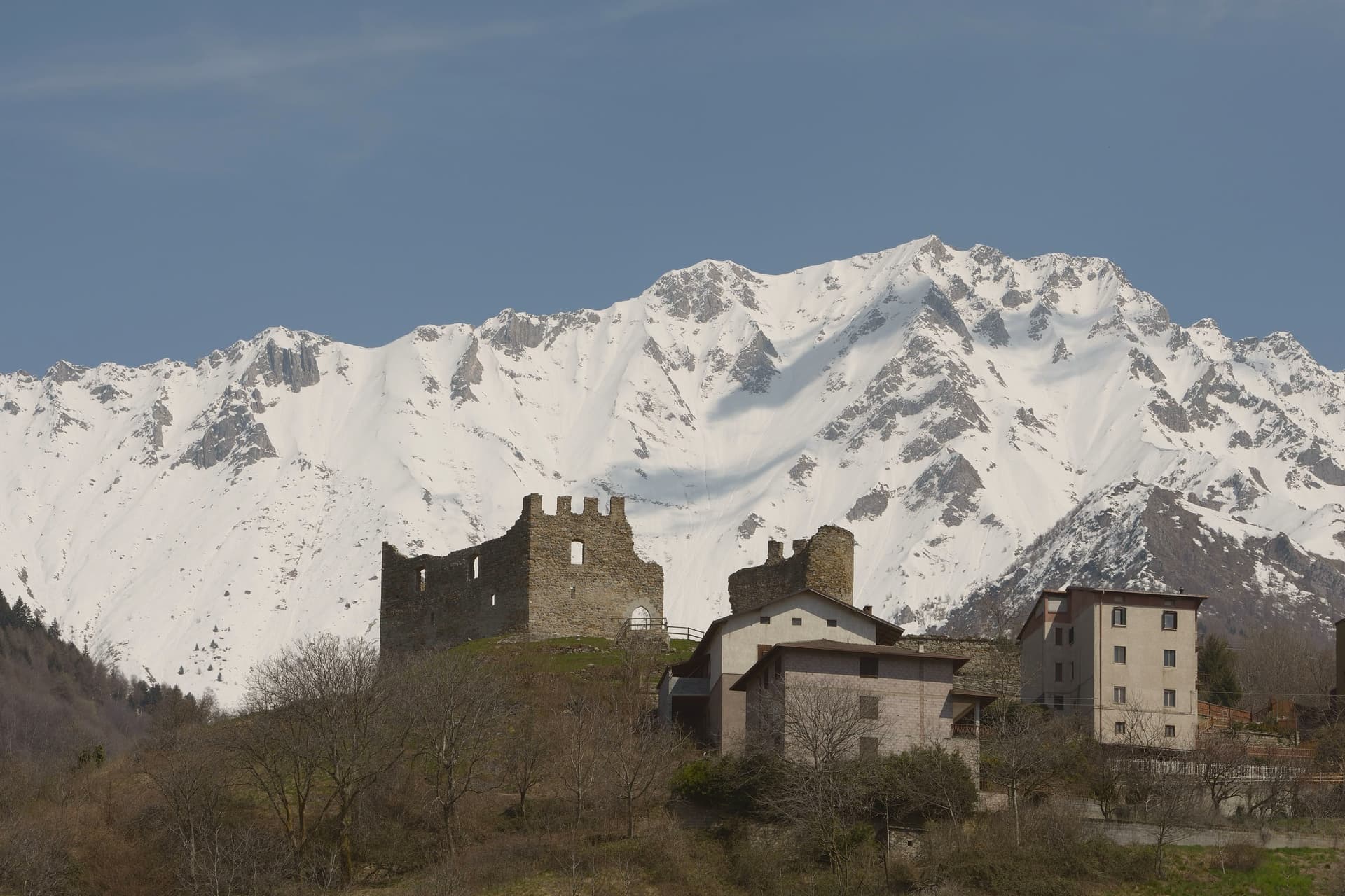
Cimbergo holds a balcony position at 851 meters above the Oglio, looking across Val Camonica toward Paspardo and Capo di Ponte. The reason most visitors climb up here is the Riserva Naturale delle Incisioni Rupestri di Ceto, Cimbergo e Paspardo, the UNESCO-listed rock-art protected area that shares its name with the commune.
On a granite spur above the village stand the ruins of the medieval Castello, where in 1378 Guelphs and Ghibellines of Val Camonica met to attempt a peace, and where in 1430 Bartolomeo of Cemmo received the investiture of the Cemmo-Cimbergo county from Venice. The frazioni Cimbergo and Paspardo were united and re-divided more than once between 1805 and 1947.
Today the village keeps its narrow lanes and stacked stone houses, and the surrounding woods open onto sandstone outcrops covered in figures cut between the Neolithic and the Iron Age.
What to see in Cimbergo
- Castello di Cimbergo. Ruined medieval castle on a granite outcrop above the village, site of the 1378 peace attempt between Guelphs and Ghibellines of Val Camonica.
- Incisioni rupestri di Cimbergo. Sector of the UNESCO Ceto-Cimbergo-Paspardo reserve, with engraved surfaces accessible from marked paths below the village.
- Chiesa di San Martino. Parish church at the center of the village, with a bell tower visible from the valley floor.
How to get to Cimbergo
Brescia is roughly 104 minutes away by road.
Our tip
May through October is the window for Cimbergo. The petroglyph paths through the woods need dry weather and clear ground, both of which arrive late at this altitude. June and September are the most reliable months.
Varenna
Why visit Varenna
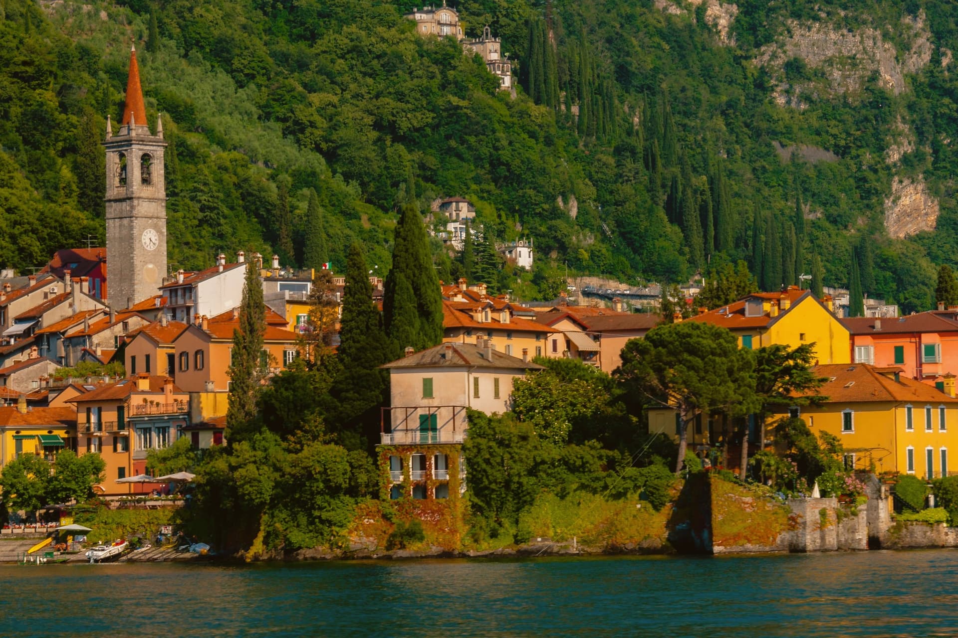
Varenna sits on the eastern shore of Lake Como at the point where the lake forks into the Como and Lecco branches, opposite Bellagio and Menaggio. Local fishermen founded the village in 769.
In 1126 it was destroyed by Como during the wars between the lake's communes, and in 1169 it absorbed the refugees from the destroyed Isola Comacina. The streets fall in a steep grid toward the water, with the lakefront passerella running between the houses and the lake.
The Castello di Vezio, above the village on a spur reached by a 30-minute climb, was a Lombard watchpost reused through the Middle Ages. Villa Monastero, on the lakefront, started in the 12th century as a Cistercian convent and now runs a two-kilometer botanical garden along the shore.
The frazione of Fiumelatte hosts one of the shortest rivers in Italy, 250 meters from spring to lake.
What to see in Varenna
- Castello di Vezio. Lombard-era watchpost on a spur above the village, reached by a 30-minute climb with 160 meters of elevation gain.
- Villa Monastero. Former 12th-century Cistercian convent on the lakefront, now a museum and convention center with a 2-kilometer botanical garden along the shore.
- Villa Cipressi. Sixteenth-to-nineteenth-century lakefront villa next to Villa Monastero, with terraced gardens descending to the water.
How to get to Varenna
There is a railway station in the town, so you can arrive without a car and never need one while you are here. Monza is roughly 62 minutes away by road.
Our tip
April through October is the working season. The ferries from Bellagio and Menaggio run frequently, the villa gardens open in late March, and the lake stays mild enough to swim from June onward. July and August are crowded: 693 residents host thousands of day visitors, and the lakefront fills with photo tripods at sunset.
Limone sul Garda
Why visit Limone sul Garda
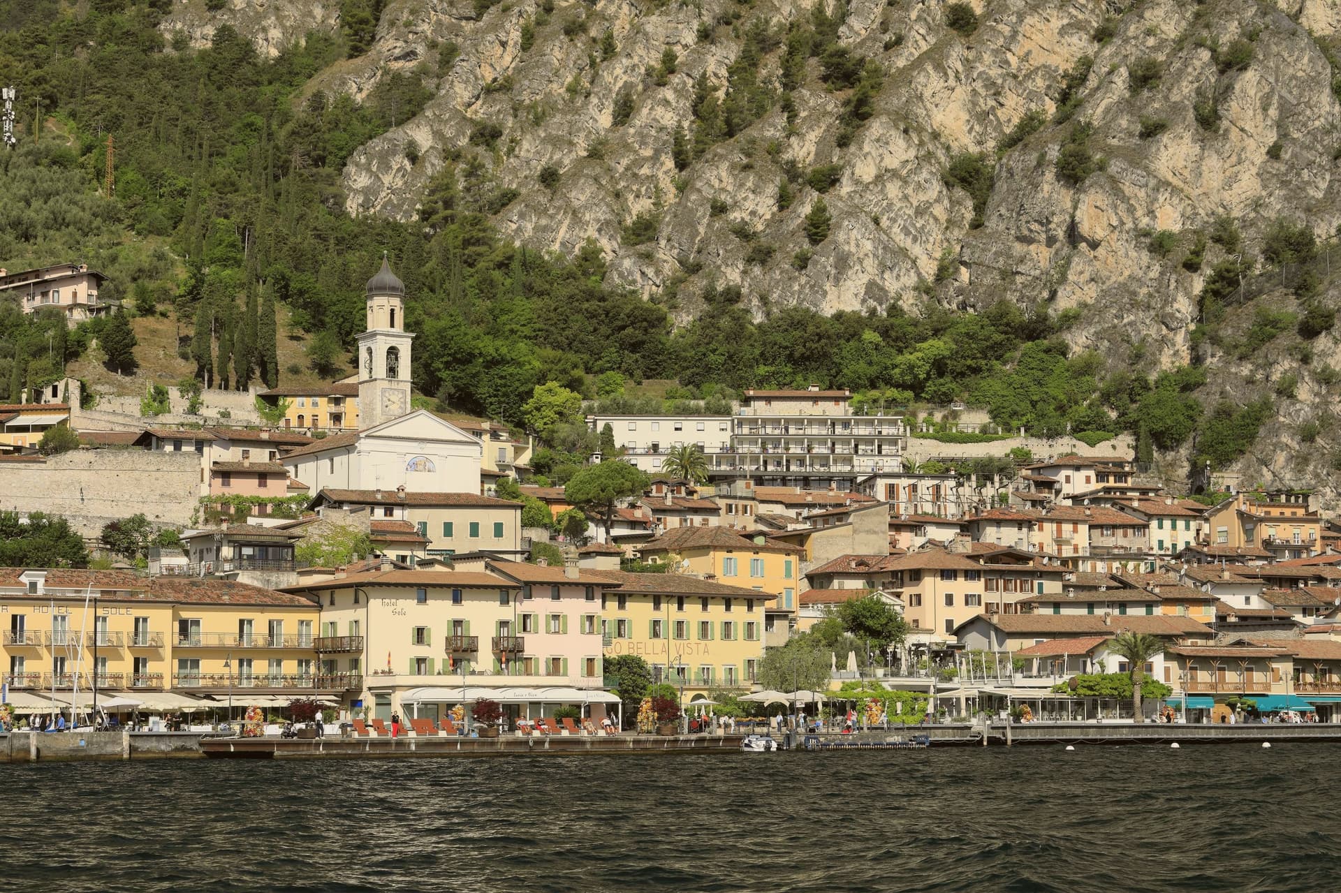
Limone sul Garda sits on the western shore of Lake Garda at the foot of vertical limestone cliffs, the northernmost commercial lemon-growing town in the world at almost 46 degrees north. The Latin limes, meaning border, gave the place its name; the Bettoni counts gave it its industry.
From the seventeenth century, limonaie, stone-pillared greenhouses heated and covered through winter, allowed lemons to be exported to Austria, Germany, Poland and Russia. The road to Riva del Garda, the Gardesana Occidentale, was carved into the cliff and finished in 1932; until then the town reached the outside world by boat or mule track.
In 1974 a Milanese pharmacologist traced a mutant apolipoprotein, ApoA-1 Milano, to a single eighteenth-century resident, Giovanni Pomarelli. Roughly forty of his descendants in town carry the variant, which suppresses cardiovascular disease and helps a handful of residents past one hundred.
What to see in Limone sul Garda
- Limonaia del Castèl. Restored seventeenth-century lemon greenhouse on stone pillars above the lake, demonstrating the heated wooden cover that protected the trees through winter.
- Chiesa di San Benedetto. Eighteenth-century parish church on the lake front, with a single nave and Baroque altars rebuilt over an older medieval foundation.
- Centro storico. Tight grid of stone alleys between the old harbour and the cliff, with narrow porticoes that survive from the pre-road fishing and citrus village.
How to get to Limone sul Garda
Trento is roughly 57 minutes away by road.
Our tip
April through June and September into October are the months that suit Limone. The lake holds spring temperatures, the lemons flower, the cliff above the town keeps morning shade until noon. July and August fill the lakefront and the cycle path, with peak crowds on weekends drawn from Verona, Milano and German-speaking Europe.
Gromo
Why visit Gromo
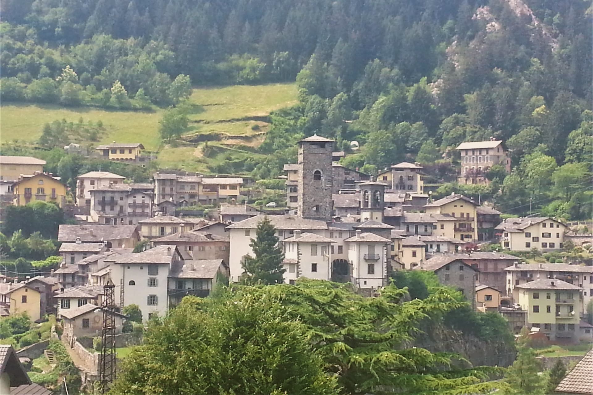
Gromo sits at 676 meters on a rocky spur above the right bank of the Serio, forty kilometers northeast of Bergamo in the upper Seriana Valley. In the Middle Ages, the village was called the little Toledo: its forges produced swords, daggers, halberds, shields and cuirasses exported across Lombardy and beyond, powered by the current of the stream below.
Silver mining in nearby veins fed the Bergamo mint until the fourteenth century. With the official act of 12 February 1267, Gromo gained autonomy and the rights to sell its metals.
The Castello Ginami, built on the rock in the first half of the thirteenth century by the Buccelleni and later passed to the Ginami family, still dominates the village. The Chiesa di San Giacomo, fifteenth century, holds gilded altars, sixteenth-century frescoes, wooden statues and old parchments.
In winter, the Spiazzi di Gromo plateau above town runs alpine and cross-country skiing; in summer, the same valleys feed trekking into the Orobie.
What to see in Gromo
- Castello Ginami. Thirteenth-century fortress on a rock spur, built by the Buccelleni and passed to the Ginami in the sixteenth century, modified into the seventeenth.
- Chiesa di San Giacomo. Fifteenth-century parish church above the historic centre, with gilded altars, sixteenth-century frescoes, wooden statues and ancient parchments.
- Piazza Dante. Medieval square at the heart of the borgo, lined with stone palazzi and the surviving defensive walls of the iron-working town.
How to get to Gromo
Bergamo is roughly 62 minutes away by road.
Our tip
May through October is the workable window at 676 meters. June, July and September are the best months: green pastures, alpine flowers, mild evenings, trails open across the Spiazzi plateau and into the Orobie. August brings vacationers from Bergamo and Milan, though the mountain keeps the heat down.
Tignale
Why visit Tignale
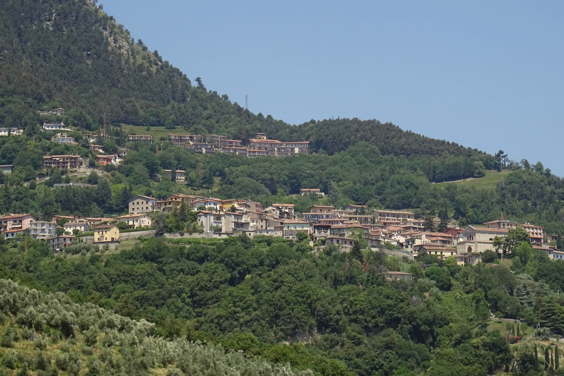
Tignale sits on a high terrace on the northern part of Lake Garda's Brescia shore, inside the Parco Alto Garda Bresciano. The municipality is six hamlets stitched together: Gardola, where the town hall stands, plus Piovere, Oldesio, Olzano, Aer and Prabione.
The territory runs from the port at lake level up to peaks near 1,600 meters. The Santuario di Montecastello stands on a limestone spur high above the water, built on the ruins of an ancient temple later converted into a castle.
The frescoes inside follow a Giottesque school, and one of the votive panels, dated to the early 1600s, is said to be among the largest ex-voto paintings in Europe. The story attached to the sanctuary is the 1200 battle on the slopes below, ended by the appearance of a star, hence the title Madonna della Stella.
Below the village, the limonaie, the stepped lemon terraces built into the cliff, mark the northern limit of Mediterranean citrus agriculture in Europe; several are still maintained as working ecomuseums.
What to see in Tignale
- Santuario di Montecastello. Clifftop sanctuary above Lake Garda with Giottesque frescoes and one of Europe's largest ex-voto paintings.
- Limonaie. Stepped lemon terraces built into the cliff, the northern limit of Mediterranean citrus in Europe.
- Parco Alto Garda Bresciano. Regional park covering Tignale and eight neighboring communes, with peaks up to 1,600 meters and a network of mule tracks.
How to get to Tignale
Brescia is roughly 90 minutes away by road.
Our tip
April through October is when Tignale works. The sanctuary opens for visitors in April, the limonaie ecomuseums run guided tours through summer, and the hiking network across the Parco Alto Garda is at its best in May and June. July and August bring the largest hiking and motorcycle traffic on the Gardesana Occidentale road below.
Ponte di Legno
Why visit Ponte di Legno
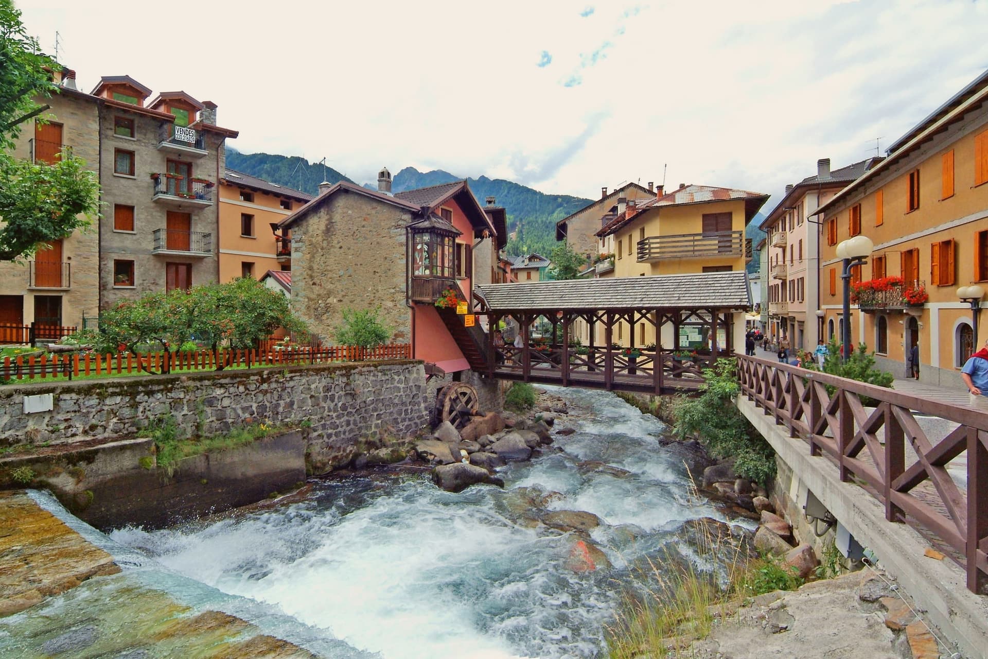
At 100 square kilometres this is the second-largest commune in the province of Brescia after Bagolino, a size that shows in how far its territory reaches: from the valley floor up into the park south and east of town and over the watershed into Trentino. The upper town has burned more than once in its history, rebuilt in wood each time along with the parish church that anchors the main square.
Ski Club Ponte di Legno was founded in 1911, one of the first in Italy, and a hundred years of investment turned that early club into the ski area whose lifts now serve both the pass and the glacier above it. Winter and summer use the same infrastructure differently: in season the lifts run skiers over forty-one runs and up onto the ice, and in summer the same cars carry hikers onto the plateau while the tables fill on Piazza XXVII Settembre in place of ski boots.
The town's whole shape, valley floor, upper slopes, and the pass beyond, follows the terrain that a century of skiers and a century of soldiers before them had no choice but to work with.
What to see in Ponte di Legno
- Chiesa della SS. Trinità. 18th-century parish church on the main square, rebuilt after fires that periodically hit the wooden upper town.
- Passo del Tonale. The road north over the watershed into Val di Sole, still climbed today by the lifts that once carried troops and now carry skiers.
- Ghiacciaio della Presena. Accessible by cable car above the pass, open through the year for skiing on the ice itself rather than groomed snow below it.
How to get to Ponte di Legno
Trento is roughly 98 minutes away by road.
Our tip
December through March is the main season. The Pontedilegno-Tonale lifts open, the upper town fills with skiers from Brescia and Milan, and the Presena glacier extends the season into May. June through September is the summer half.
Tremosine sul Garda
Why visit Tremosine sul Garda
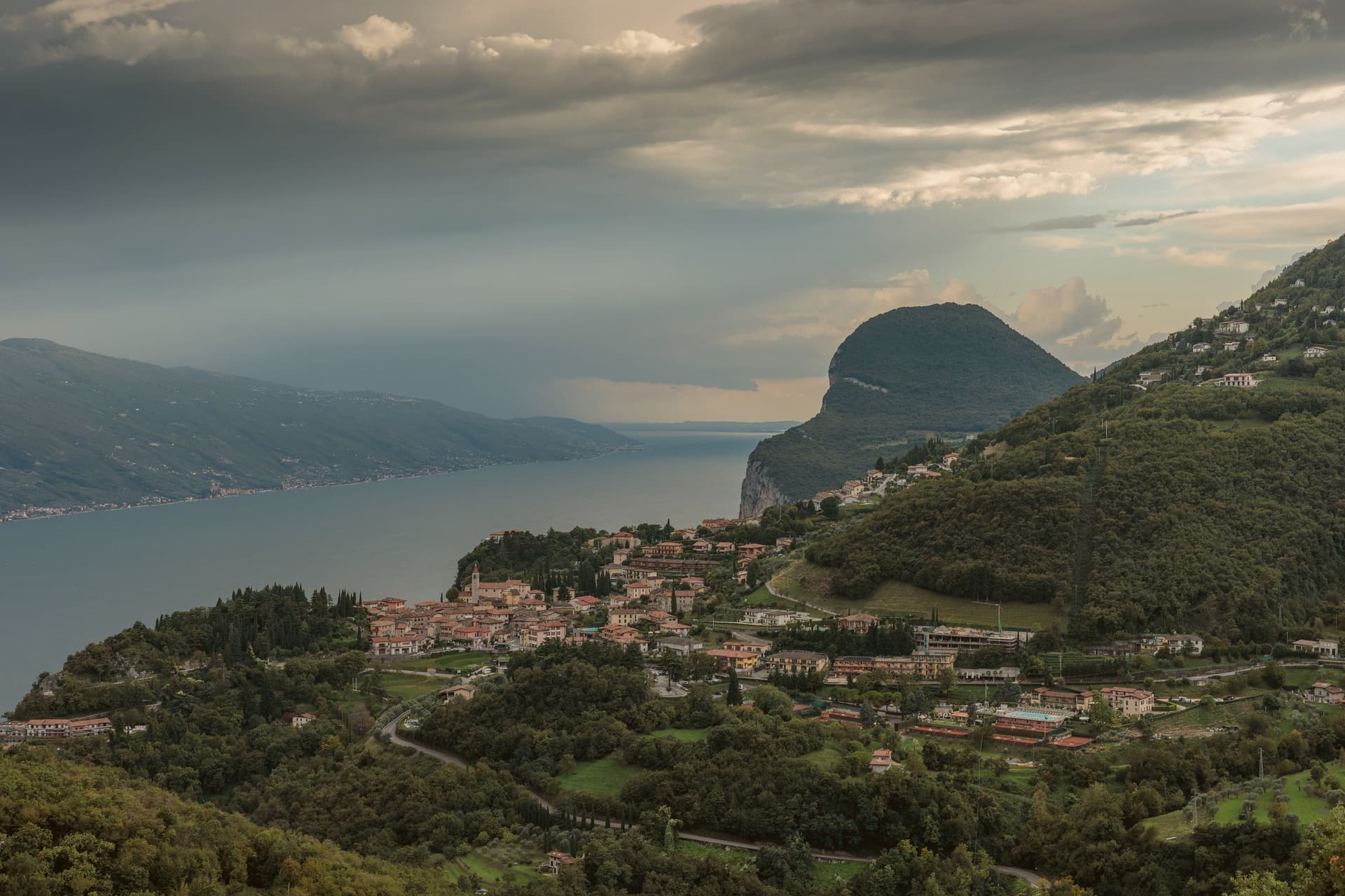
The plateau sits above the strip of road called the Gardesana Occidentale, its cliff edge dropping straight to the water. The commune divides into 18 frazioni scattered between that edge and the Alpe di Tremosine inland; Pieve, the capoluogo, holds the town hall and the Borghi più belli listing, while Campione del Garda, down at lake level, is the one frazione with direct shore access and a windsurfing beach.
The distance between Pieve on its cliff and Campione on the water is the whole shape of the place: a plateau town with a single foothold on the lake itself. The only road climb from that shore is the route designed by Arturo Cozzaglio of Tremosine and built between 1908 and 1913 through the gorge carved by the Brasa stream: 200 meters of vertical, tunnels and switchbacks cut through limestone.
Winston Churchill called it the eighth wonder of the world. The Tignale and Limone communes are close on either side along the cliff.
What holds Tremosine together, then, is verticality: a plateau of hamlets, a single road up from the water, and a capoluogo that sits at the edge looking straight down.
What to see in Tremosine sul Garda
- Pieve. Capoluogo and one of the Borghi più belli d'Italia, on the limestone cliff edge at 413 meters directly above the lake.
- Terrazza del Brivido. Concrete platform at the Hotel Paradiso, suspending visitors over the void with a full view of the southern Lake Garda.
- Strada della Forra. 5.8-kilometer cliff road by Arturo Cozzaglio, built 1908-1913 through the gorge of the Brasa stream; used in Quantum of Solace.
How to get to Tremosine sul Garda
Trento is roughly 117 minutes away by road.
Our tip
April through October is the lake season. The Strada della Forra is open for cars and motorbikes, the Terrazza del Brivido draws weekend traffic, and the cliff air keeps Pieve cooler than the lake floor. July and August are the busiest months, with the Bond-road crowd and the European motorcycle riders.
Gardone Riviera
Why visit Gardone Riviera
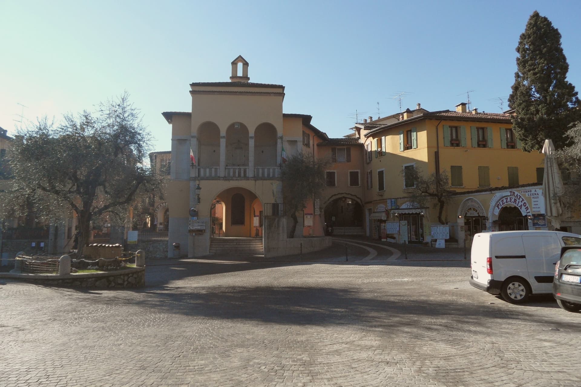
Gardone Riviera sits at 71 meters on the western shore of Lake Garda, in the province of Brescia. The lake here runs deep against the wall of Monte Pizzocolo, and the climate stays mild enough that lemons, olives and bamboo grow within walking distance of each other.
The town divides between the lakefront and the hill above it. Along the water, Gardone Sotto holds the promenade and harbour; above the centro storico, the ground rises toward the estate grounds and, further up, toward the garden that has drawn on the same mild hillside climate since the start of the twentieth century.
The boathouse on the estate holds a torpedo boat from a 1918 wartime raid, alongside the villa called the Prioria, an amphitheatre and a circular mausoleum. The garden above town spent six decades being arranged, one man working a single hillside into bamboo groves, alpine ravines, Japanese ponds and waterfalls.
The lakefront promenade carries the Bandiera Blu. What holds the town together is that division of altitude: a working lakefront below, and above it two hillside projects, one architectural and one botanical, each built slowly and by a single hand over decades on the same slope.
What to see in Gardone Riviera
- Vittoriale degli Italiani. Nine-hectare hillside estate occupied by Gabriele D'Annunzio from 1922 to 1938, with villa, amphitheatre, mausoleum and the cruiser Puglia.
- Nave Puglia. Protected cruiser of the Regia Marina set into the slope above the lake, gifted to D'Annunzio in 1923 and assembled on land at the Vittoriale.
- Giardino Botanico Hruska (Heller Garden). Botanical garden begun around 1901 by Arturo Hruska, with bamboo, Japanese ponds, alpine ravines and waterfalls on a single hillside.
How to get to Gardone Riviera
Brescia is roughly 53 minutes away by road.
Our tip
April through June and September into October are the months western Garda works best. The Vittoriale grounds are walkable, the Heller Garden is in full bloom, and the ferry between Salò and Riva del Garda runs regular service. July and August fill the lakefront with day-trippers and the Vittoriale amphitheatre hosts its summer opera season; afternoons get warm but the lake breeze holds steady.
Castione della Presolana
Why visit Castione della Presolana
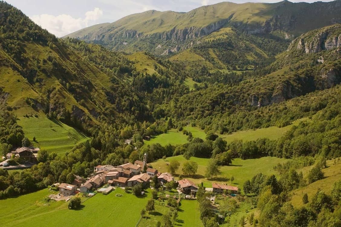
The territory is broad, 42 square kilometres, and it climbs from the 780-metre Gera stream up through the pass at 1,297 metres to the summit ridge above. Tombs from the Neo-Eneolithic period have been recovered on the slopes, evidence of how long this ground has been worked and crossed.
Rusio still keeps its medieval agricultural layout, narrow streets and rural houses gathered around a small church with a wooden altar, a lower and older counterpart to the hamlets higher on the mountain. Bratto and Dorga, at roughly 1,000 metres, took the opposite path: built up as summer resorts at the start of the 20th century, their streets still carry the villas that Bergamasco industrialists put up for their own summer use.
The commune holds the Bandiera Arancione of the Touring Club Italiano, the inland equivalent of a Bandiera Blu, awarded for keeping both the peasant village below and the mountain environment above intact. Together the two settlements show a single territory read in two directions: one preserved because it was left alone, the other because it was deliberately built for leisure.
What to see in Castione della Presolana
- Pizzo della Presolana. Dolomite-type limestone gives the southern face its sheer walls and climbing routes, the same rock mass that stands over the whole commune.
- Chiesa di Sant'Alessandro. Parish church in the historic centre, with a marble altar carved with figurative sculptures.
- Chiesa di San Rocco. Smaller village church holding fragments of ancient frescoes.
How to get to Castione della Presolana
Bergamo is roughly 49 minutes away by road.
Our tip
May through October is the main season for Castione della Presolana. Trails open through the Orobie pre-Alps, the Passo della Presolana is clear, and the limestone walls of the Pizzo dry out for climbers. July and August bring Bergamo and Milan families up to Bratto and Dorga, where the temperatures stay ten degrees cooler than in the city.
Monzambano
Why visit Monzambano
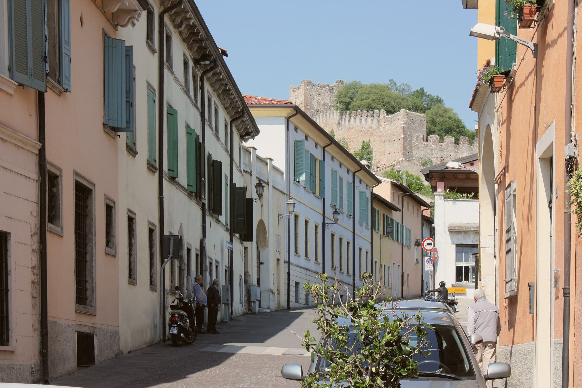
Monzambano sits at 88 meters on the right bank of the Mincio, in the moraine hills the last Alpine glacier pushed up south of Lake Garda. The commune covers 4,800 people across several frazioni, but the one travelers come for is Castellaro Lagusello, a fortified medieval village built around a small heart-shaped lake.
Pope Eugenio III's document of 1145 lists its parish among those of the Diocese of Verona. The castle and walls date to the eleventh and twelfth centuries.
The Gonzaga of Mantua tried and failed to hold it through the Quattrocento, and it passed to Venice, then to Napoleon, who in 1803 annexed it to Monzambano. Pile-dwelling settlements under the lake belong to the Prehistoric Pile Dwellings around the Alps UNESCO site.
The commune holds five institutional signals at once: Borghi più belli, Bandiera Arancione, Borgo dei Borghi finalist, Città del Vino, Città dell'Olio. The wines are Lugana and Garda Colli Mantovani; the oil is Garda DOP.
What to see in Monzambano
- Castellaro Lagusello. Fortified medieval frazione inside crenellated walls and ten towers, set above a heart-shaped lake on a moraine hill.
- Castello di Castellaro. Eleventh- to twelfth-century castle on the hill above the lake, long contested between Mantua and Venice.
- Prehistoric pile dwellings. Submerged Bronze Age stilt-house settlement in the lake, part of the UNESCO Prehistoric Pile Dwellings around the Alps.
How to get to Monzambano
Verona is roughly 39 minutes away by road.
Our tip
April through June and September into October are the months the moraine hills work best. The vines are leafing or harvested, the lake reflects the walls, and the small reserve around Castellaro is open to walkers. July and August get humid and still; Lake Garda is fifteen kilometers away and pulls the day-trippers off the back roads. Sagra di San Bartolomeo falls in August.
More from Anywhere Italy
- The 8 best towns inside a nature park in the province of Brescia
- The best lake towns inside a nature park in Lombardia
- The 9 best towns with a serious restaurant that sit inside a nature park in Lombardia
 The 8 best small towns worth staying overnight in Lombardia
- The best small lake towns that eat well in Lombardia
 The best small towns with a serious restaurant in Lombardia