
The best mountain towns within 90 minutes of Foggia
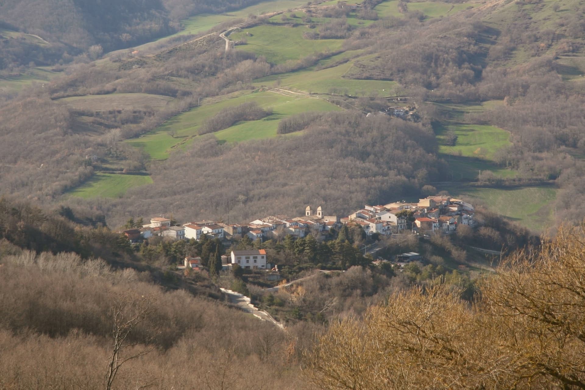
Drive west or south out of Foggia and the wheat plain ends abruptly. The Monti Dauni rise in long green ridges, beech and oak forest broken by pasture, with villages of grey local stone set on the crests where they could see trouble coming. This is podolico cattle country, so the cheese counter runs to caciocavallo aged in caves, ricotta, hard pecorino, and the kitchens lean on lamb, wild greens, chestnuts and hand-rolled pasta. Autumn brings mushrooms and the smell of woodsmoke; winter brings real cold and sometimes snow on the ridge roads, which surprises people who think of Puglia only as a coast.
Most visitors to this corner of Puglia never turn inland at all. They head for the Gargano, for Vieste and Peschici and the sea stacks and the beech forest of the Foresta Umbra, and in August the coast road there moves at walking pace. The Gargano earns its reputation, with limestone cliffs, clear water and one of the oldest woodlands in Italy, but its car parks and its prices reflect it. Foggia itself is mostly treated as a railway junction on the way somewhere else.
The high ground carries on regardless, west into the Daunian range and across the invisible border into Irpinia, and that is where these towns are. Some sit above wind farms and river valleys, one pair still speaks a Franco-Provençal dialect brought down from the Alps centuries back, another holds a sanctuary cut into the rock of the Gargano massif. Fewer people go, the roads are quiet outside festival weekends, and the cooking stays local because it was never asked to be anything else. All of them are within reach of Foggia in a morning.
Of the 23 communes we have mapped within 90 minutes of Foggia, 9 qualify as mountain towns: each sits in the mountains. The smallest, Celle di San Vito, has 148 residents.
Two more lists worth reading alongside this one: The prettiest villages within 90 minutes of Foggia and The prettiest small villages within 90 minutes of Foggia.
Celle di San Vito
Why visit Celle di San Vito
The commune sits in the Subappennino chain on the Campania border, fifty kilometers west of Foggia, in the Monti Dauni. Its name comes from a cenobium founded on the mountain above by Benedictine monks as a summer cell, and the settlement below grew up around it.
The village lost its autonomy to the Barony of Val Maggiore in 1440 and did not recover it until the early nineteenth century, with the abolition of feudal rights. Three kilometers up the ridge sits Faeto, the only other Franco-Provençal-speaking village in the south.
The two share a dialect, Faetar-Cigliàje, descended from colonists that Charles I of Anjou settled in the Daunia after 1266, and both are recognised as a linguistic minority under Italian law 482 of 1999. A mountain cell that gave a village its name, a dialect that outlasted the empire that planted it, and a population still shrinking below the smallest count in the region: the isolation that preserved the language is the same isolation now emptying the village of speakers.
The village sits at 726 metres.
What to see in Celle di San Vito
- Centro storico. A handful of streets organized around the parish church, stone construction on the ridge, said to be the smallest centro storico in Puglia.
- Chiesa Madre di Sant'Andrea Apostolo. Parish church on the upper edge of the village, the religious anchor of the community, with Franco-Provençal hymns sung at festa.
- Belvedere sui Monti Dauni. Panoramic edge of the village looking out over the Daunia ridges toward Roseto and Campania, beech and oak forest in every direction.
How to get to Celle di San Vito
Foggia is roughly 48 minutes away by road.
Our tip
May through October is the workable season at 726 meters: cool evenings, dry summer air, the beech forest in full leaf. June through August stay in the low twenties while Foggia bakes at thirty-eight; the climate is the practical argument for the visit. October brings the chestnut and porcini season.
Faeto
Why visit Faeto
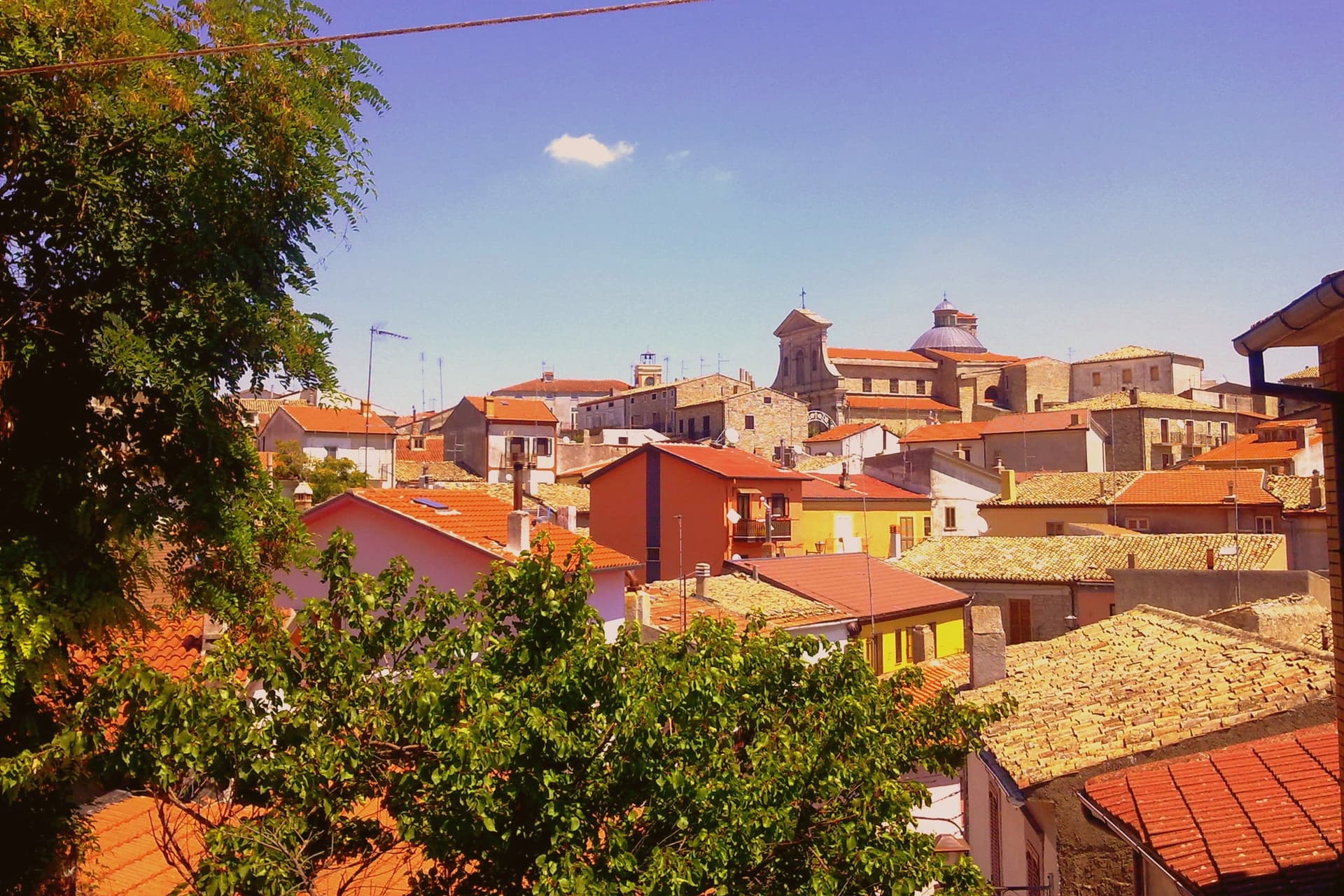
Faeto lies fifty kilometers west of Foggia on the regional border with Campania, set on a Monti Dauni ridge. Together with its three-kilometer neighbour Celle di San Vito it forms the only Franco-Provençal linguistic minority in southern Italy, recognised by Italian law 482 of 1999.
The dialect, known locally as faetano, descends from Provençal colonists settled in the Daunia by Charles I of Anjou after his victory at Benevento in 1266; he stationed garrisons in the strategic highlands and the colonists held. It is still used in daily conversation by an aging population of 616 residents.
Monte Cornacchia rises just north of the village, and old sheep tracks climb to it through beech forest, linking the settled ridge to the wild high ground above it. The municipal salume, prosciutto di Faeto, is cured at altitude and sold across the province as the high-mountain Puglian cured ham.
A garrison outpost, a surviving minority language, and a cured meat named for the place: what remains at Faeto is the trace of a fourteenth-century military decision, still spoken and still eaten.
The village sits at 820 metres.
What to see in Faeto
- Centro storico. Stone village with narrow stepped streets organised around the parish church, the highest such center in the region.
- Chiesa Madre di San Salvatore. Parish church in the upper village, the religious anchor where the patronal feast is celebrated and faetano hymns are still sung.
- Monte Cornacchia. Beech forest and old sheep tracks climb from the village edge toward the peak just to the north, the highest ground in the region.
How to get to Faeto
Foggia is roughly 52 minutes away by road.
Our tip
May through October is the workable season at 820 meters in the Monti Dauni: cool evenings, dry summer air, the beech and oak forest in full leaf. June through August stay in the low twenties while Foggia bakes at thirty-eight; the village climate is the real reason to come in high summer. October brings the porcini and chestnut harvest.
Monteverde
Why visit Monteverde
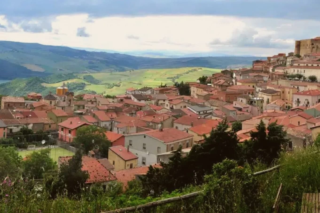
Monteverde sits at 740 meters on the eastern edge of Irpinia, on the Campania-Apulia border, 98 kilometers from Avellino: the geography puts it nearer Foggia than its own provincial seat. The Neolithic record on this ridge goes back four thousand years.
In the eleventh century the town became a bishopric and held that seat until 1531, when Charles V ceded the fief to Onorato I Grimaldi, Prince of Monaco, in exchange for the family's loyalty. The village stands as a single climbing core: the old town rises in stone-paved streets toward the fortress at its summit, while below, on the valley floor, the reservoir sits apart from the settlement entirely, a separate world of water and nesting birds rather than an extension of the town itself.
Monteverde joined the Borghi più belli d'Italia network. Between the bishopric lost in 1531, the fief held by a princely family from Monaco for over a century, and a modern reservoir that draws a bird rare in the south, the town has spent its history being claimed and repurposed by outside forces, and still absorbing them into its own shape.
The village sits at 740 metres.
What to see in Monteverde
- Castello Baronale Grimaldi. Fortress on the highest point of the village, its stone walls now enclosing the Museo del Grano within the rooms once held by the Grimaldi.
- Lago San Pietro. Artificial reservoir 460 meters below the village, holding 17 million cubic meters of water, with storks working the shallows where they have nested since 2010.
- Centro storico. Stone-paved medieval core climbing toward the castle, its slopes and passages the reason the village was singled out as the most accessible in Europe.
How to get to Monteverde
Foggia is roughly 60 minutes away by road.
Our tip
May through October is the open season at 740 meters: mild days, cool evenings, and clear views toward the Apulian plain. July and August stay tolerable up here while the Foggia lowland bakes; the village fills with returning emigrants on the August feasts. April and November are the shoulder months, when the migratory black storks come and go from Lago San Pietro.
Roseto Valfortore
Why visit Roseto Valfortore
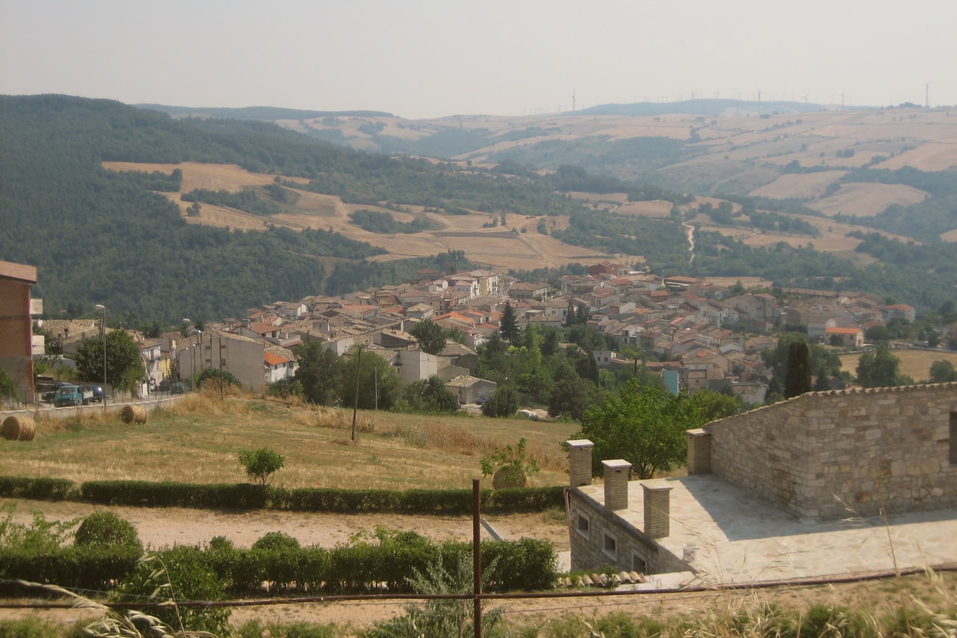
Roseto Valfortore sits at 658 meters on a steep slope of the Fortore valley in the Daunian Mountains, below Monte Cornacchia, the highest peak in Puglia at 1,151 meters. The name records the wild roses that cover the slopes and the Fortore river whose springs rise east of the village.
Urban planning follows a Lombard pattern: stréttole, the narrow alleys, fan out from Piazza Vecchia, alternating wider stepped lanes with narrower channels that collect rainwater. The stone houses, the sculpted balustrades, and the decorated doorways were cut by generations of local stonemasons.
Acacia honey and truffles, black and white plus bianchetto, come out of the surrounding beech and oak forests; annual truffle fairs run on both sides of autumn. Roseto Valfortore carries Borghi più belli d'Italia and Città del Tartufo, with a population under a thousand and falling.
The first immigrants to Roseto, Pennsylvania, left in 1883 for the slate quarries of the Lehigh Valley.
The village sits at 658 metres.
What to see in Roseto Valfortore
- Piazza Vecchia. Medieval origin square at the foot of the village, from which the stréttole fan out, the Lombard core of the urban layout.
- Centro storico in pietra. Stone-cut village on the Fortore slope, narrow stepped lanes, balustrades and portals shaped by generations of local stonemasons.
- Chiesa Madre di Santa Maria Assunta. Mother church in the upper village, rebuilt over the centuries above the medieval core, the religious anchor of the borgo.
How to get to Roseto Valfortore
Foggia is roughly 58 minutes away by road.
Our tip
May through October is the workable season at 658 meters: cool evenings, dry air, the Daunian forests green and the Fortore springs running. June through August stay around twenty-five degrees while Foggia bakes at thirty-eight on the plain below. September and October are the truffle months and the chestnut work in the lower foothills.
Savignano Irpino
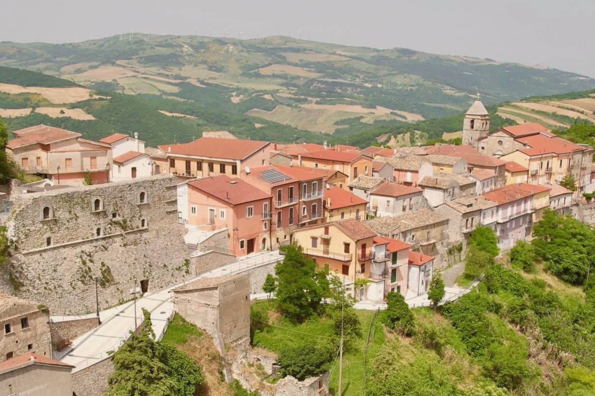
Why visit Savignano Irpino
Savignano Irpino sits at 718 meters on the edge of Irpinia, where the province narrows toward Apulia. The Latin name Sabinius points to a Roman landowner, but the village as it stands now grew up between the seventh and eighth centuries around a defensive castle on the high ground.
Under the Normans it became part of a barony dependent on Ariano Irpino, with Ferrara and Greci. In 1193, during Tancredi d'Altavilla's reign, governor Sarolo Guarna was executed on the castle tower.
In 1445 the Guevara family, Spanish nobles, turned the medieval manor into a lordly residence; their name still attaches to the castle. The town was called Savignano di Puglia until 1963, when the border-of-region status pushed the rename.
The Mother Church of San Nicola and Sant'Anna and the Castello Guevara anchor the medieval core. It joined the Borghi più belli network in 2016.
The village sits at 718 metres.
What to see in Savignano Irpino
- Castello Guevara. Norman fortress on the high point of the village, rebuilt in 1445 by the Guevara family who held the fief for generations.
- Chiesa Madre di San Nicola e Sant'Anna. Mother church on a medieval sacred site, its bell tower originally a watchtower over the Cervaro valley below.
- Centro storico. Compact stone-built medieval core between castle and church, Borghi più belli member since 2016.
How to get to Savignano Irpino
There is a railway station in the town, so you can arrive without a car and never need one while you are here. Foggia is roughly 58 minutes away by road.
Our tip
May through October is the open season at 718 meters: warm days, cool nights, and the Cervaro valley below in long green light. July and August are tolerable up here while the Foggia plain bakes; the village fills with returning families on the August feasts. April and November are shoulder months with shifting weather.
San Fele
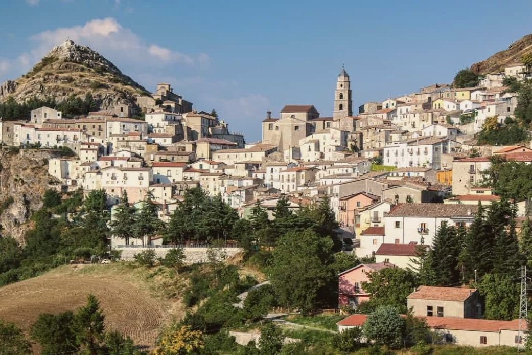
Why visit San Fele
The village sits on the saddle between Monte Toretta and the fortress peak, overlooking the Vitalba valley on the western flank of the Vulture massif. The upper ground carries the ruin and the history of the pass it once guarded; the lower ground, where the Bradano creek falls through its cascades, carried the working life of the place, the wool fulling machines that ran off the water into the 1940s.
The stone core of the village fills the saddle itself, its lanes and small piazze still laid out on the old Norman street plan, so that the settlement reads as a hinge between the defended height above and the working water below. The fortress that gave the height its purpose took its name from Saint Felix, patron of the Venosa stonemasons who built it.
On the slope of Monte Pierno, apart from both, the Romanesque sanctuary has drawn a regional pilgrimage since the twelfth century, with its major procession each 15 August. San Fele placed fourth in the 2026 Borgo dei Borghi RAI competition.
Set between a defended ridge and a working river, the village has always drawn its shape from the ground it occupies rather than from any single monument on it.
The village sits at 872 metres.
What to see in San Fele
- Cascate di San Fele. Ten waterfalls along the Bradano creek including Cascata delle Gemelle, degli Innamorati and del Paradiso, locally called U Uattënnièrë for the old fulling mills.
- Castello di San Fele. Ruins of the octagonal fortress built in 969 by Otto I of Saxony on Monte Castello, later prison of Henry VII of Germany and Joanna of Naples.
- Chiesa Madre Santa Maria della Quercia. Mother church holding the relics of Saint Giustino de Jacobis, the missionary canonized in 1975 and patron of Lucanians abroad.
How to get to San Fele
Foggia is roughly 81 minutes away by road.
Our tip
May through October is the working window. The waterfall trails open once the spring runoff calms, July and August bring crowds to the Bradano gorge and the heat in the centro storico turns oppressive between two and five in the afternoon. September and October are the clearest months, with the Madonna di Pierno pilgrimage already past and the chestnut woods turning above the village.
Bovino
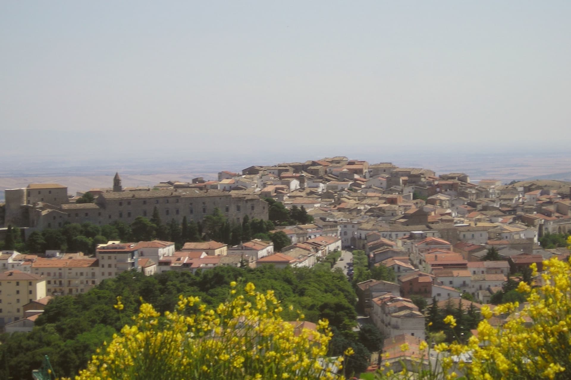
Why visit Bovino
Bovino sits at 646 meters on a terrace of the Monti Dauni above the Cervaro valley, thirty-five kilometers southwest of Foggia. The Roman name Vibinum is recorded by Pliny and Polybius; in 323 BC the town fought the Samnite Wars on the Roman side.
The Norman count Drogo built the castle in the eleventh century, Frederick II expanded it in the thirteenth, and the Guevara dukes turned it into a residential palace in the seventeenth century, inhabited by the family until 1961. The coffered ceilings and the hanging garden hosted Torquato Tasso, Giovan Battista Marino, Maria Theresa of Austria, and Pope Benedict XIII.
The concattedrale of Santa Maria Assunta, originally built in 1231 in Apulian Romanesque style, was destroyed by the 1930 Irpinia earthquake and reconsecrated in 1936. Eight hundred sculpted stone portals across the centro storico are the work of local masters; the town carries both Borghi più belli and Bandiera Arancione signals.
The village sits at 646 metres.
What to see in Bovino
- Castello Ducale (Palazzo dei Guevara). Norman castle built by Count Drogo, expanded by Frederick II, turned into a Guevara ducal palace in the seventeenth century and inhabited until 1961.
- Concattedrale di Santa Maria Assunta. Romanesque cathedral of 1231, destroyed by the 1930 Irpinia earthquake and reconsecrated in 1936, co-cathedral of the Archdiocese of Foggia-Bovino.
- Centro storico. Medieval hilltop village with eight hundred sculpted stone portals carved by local masters, ringed by the surviving walls of the castrum.
How to get to Bovino
There is a railway station in the town, so you can arrive without a car and never need one while you are here. Foggia is roughly 34 minutes away by road.
Our tip
May through October is the workable season at 646 meters. June through August stay around twenty-six to twenty-eight degrees on the ridge while Foggia bakes thirty kilometers below. September is the start of the chestnut and olive work.
Monte Sant'Angelo
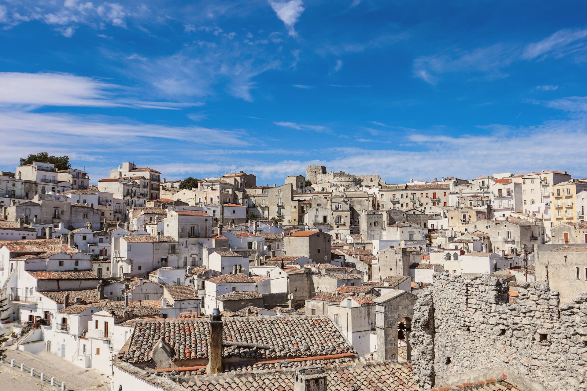
Why visit Monte Sant'Angelo
The town sits at 843 meters on the southern slope of the Gargano promontory, the highest inhabited settlement in the massif, with the Adriatic visible to the east on clear days. It is built around a cave where, according to tradition, the Archangel Michael appeared to the bishop of Siponto in 490.
A first sanctuary was raised over the cave in 493, and by the seventh century the Lombards of the Duchy of Benevento had made it the principal Michaeline shrine in the West and a fixed stop on the pilgrimage route to Jerusalem now called the Via Sacra Langobardorum. UNESCO inscribed the site in 2011 as one of seven sites in the serial property 'Longobards in Italy: Places of Power (568-774 A.D.)'.
The town itself steps down from the castle at its highest point through the sanctuary at its center to Rione Junno below, the old pilgrim quarter of stepped alleys and single-pitch roofs that housed the people who served the shrine. Beyond the commune, beech and oak forest of the Gargano National Park closes in on all sides.
What stands today is a settlement shaped entirely around one act of devotion, its layers of castle, cave, and quarter marking who came to guard, worship, and house the pilgrimage rather than any separate reason for a town to exist here at all.
The village sits at 843 metres.
What to see in Monte Sant'Angelo
- Santuario di San Michele Arcangelo. The cave sits at the heart of town, reached by descending stone stairs into rock that has been a shrine since the fifth century. Archangel Michael is said to have appeared here, and the sanctuary that grew around the site remains the town's core.
- Castello di Monte Sant'Angelo. Norman-Swabian-Aragonese castle above the sanctuary, expanded over five centuries on the highest point of the town, with views across the Gargano.
- Tomba di Rotari. Twelfth-century baptistery near the sanctuary, long misidentified as the tomb of the Lombard king Rotari, a fragment of the older religious complex.
How to get to Monte Sant'Angelo
Foggia is roughly 73 minutes away by road.
Our tip
May through October is the working season at 843 meters: cool mornings, dry afternoons, the sanctuary cave naturally cold year-round. June through August stay around twenty-six to twenty-nine degrees in town while Foggia bakes at thirty-eight on the Tavoliere below. The Festa di San Michele on 29 September is the patronal day and the busiest moment in the sanctuary calendar; pilgrims walk the final stretch of the Via Sacra from Siponto.
Ariano Irpino
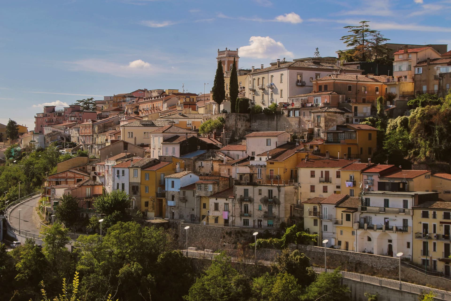
Why visit Ariano Irpino
Ariano Irpino rises on three hills, Castello, Calvario and San Bartolomeo, at 788 meters above sea level, where the Apennines narrow into the pass between Campania and Apulia. The Lombards held it, the Normans rebuilt the castle, and in the summer of 1140 Roger II convened the Assizes of Ariano, the forty-clause legal code that unified Norman, Lombard, Byzantine, Latin canon, Muslim and Jewish law for the Kingdom of Sicily.
The cathedral, dedicated to the Assumption, was completed in its current form in 1736. Ariano's majolica, glazed ceramic made here in waves of style since the medieval period, hit its peak in the eighteenth century with eleven kilns and twenty-nine craftsmen; the Museo Civico e della Ceramica in Palazzo Forte holds more than 250 pieces from the fourteenth century forward.
Known as Ariano di Puglia until 1930, the town carries both the Città dell'Olio and Città della Ceramica designations.
The village sits at 788 metres.
What to see in Ariano Irpino
- Castello Normanno. Norman fortress on the highest of the three hills, anchor of the Assizes of Ariano in 1140 and the strategic pass between Campania and Apulia.
- Cattedrale di Santa Maria Assunta. Cathedral of the Ariano-Lacedonia diocese, completed in its current form in 1736 by bishop Filippo Tipaldi.
- Museo Civico e della Ceramica. Civic and Ceramics Museum in Palazzo Forte, over 250 majolica pieces from the fourteenth century onward, the record of Ariano's kiln tradition.
How to get to Ariano Irpino
There is a railway station in the town, so you can arrive without a car and never need one while you are here. Foggia is roughly 64 minutes away by road.
Our tip
May through October is the open season at 788 meters: warm days, cool nights, and clear air across the Ufita valley. July and August are tolerable up here while the Foggia plain bakes; the August Festa della Madonna fills the Tricolle. April and November are shoulder months with shifting weather.
More from Anywhere Italy
- The prettiest villages within 90 minutes of Foggia
- The prettiest small villages within 90 minutes of Foggia
 The best towns with a serious restaurant that eat well within 90 minutes of Foggia
- The best towns you can reach by train that eat well within 90 minutes of Foggia
 The best small mountain towns in Campania
- The best towns that eat well in the province of Foggia