
Lombardy · Brescia
Monte Isola
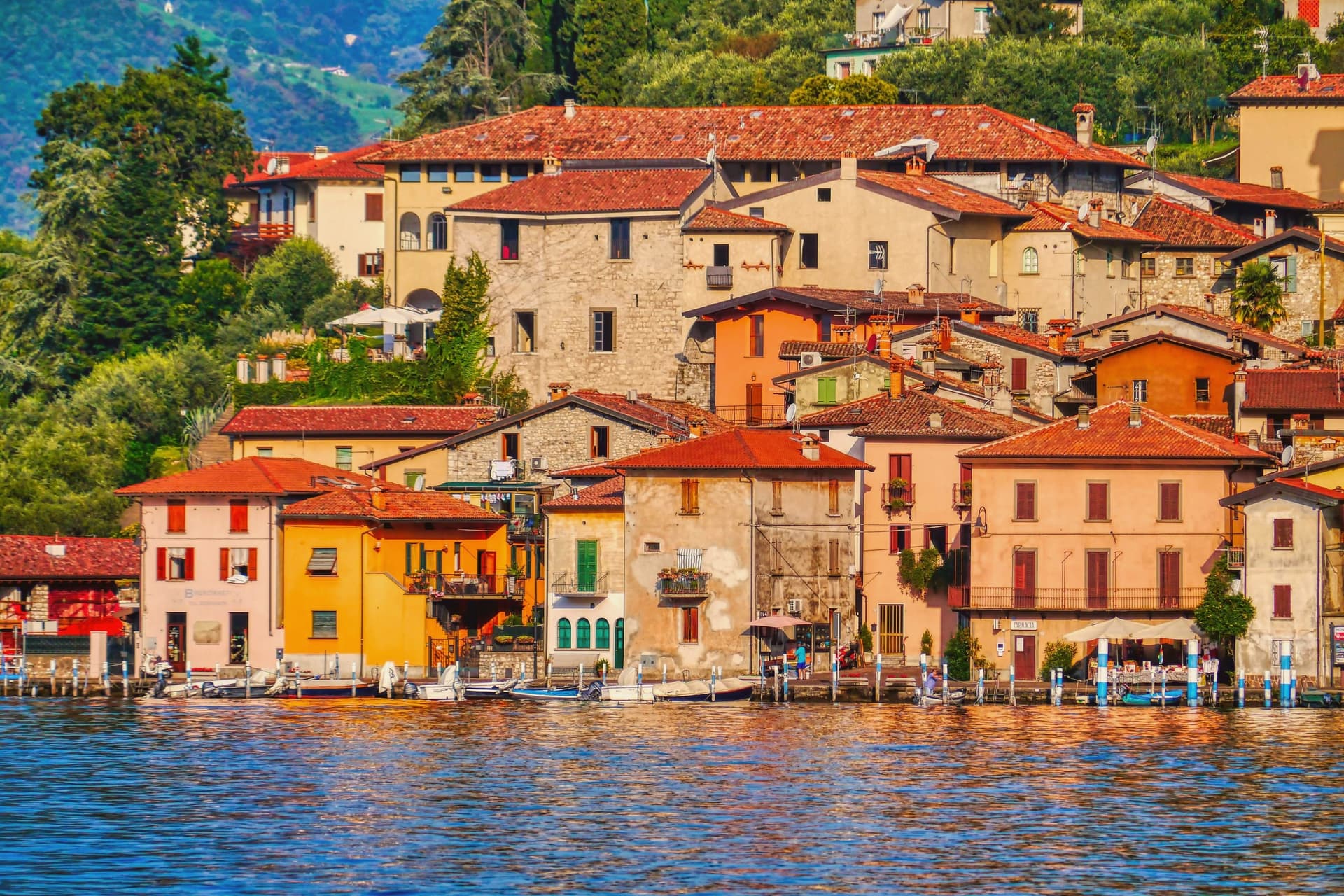
The largest lake island in southern and central Europe, 4.5 square kilometers in Lake Iseo, with no cars and eleven fishing villages on its shore.
- Best time
- Apr–Oct
- By car
- 48 min from Brescia
- By train
- Station in the comune
- Population
- 1,620
Known for
NO CARS
Private cars are banned on the island; mopeds, bicycles and feet handle everything from grocery runs to school commutes.
FISHING NETS
Hand-woven fishing nets, still made by a few families on the island, supplied the freshwater lakes of northern Italy for centuries.
FLOATING PIERS
Christo and Jeanne-Claude's 2016 orange walkway from Sulzano to the island drew 1.2 million visitors in sixteen days.
When to visit
Best · Apr–Oct
- J7°
- F10°
- M11°
- A14°
- M18°
- J23°
- J26°
- A26°
- S21°
- O16°
- N11°
- D7°
- Best
- Hot or crowded
- Quiet
- Mostly closed
Daytime averages, 2020–2024. Weather data by Open-Meteo.com.
Why come
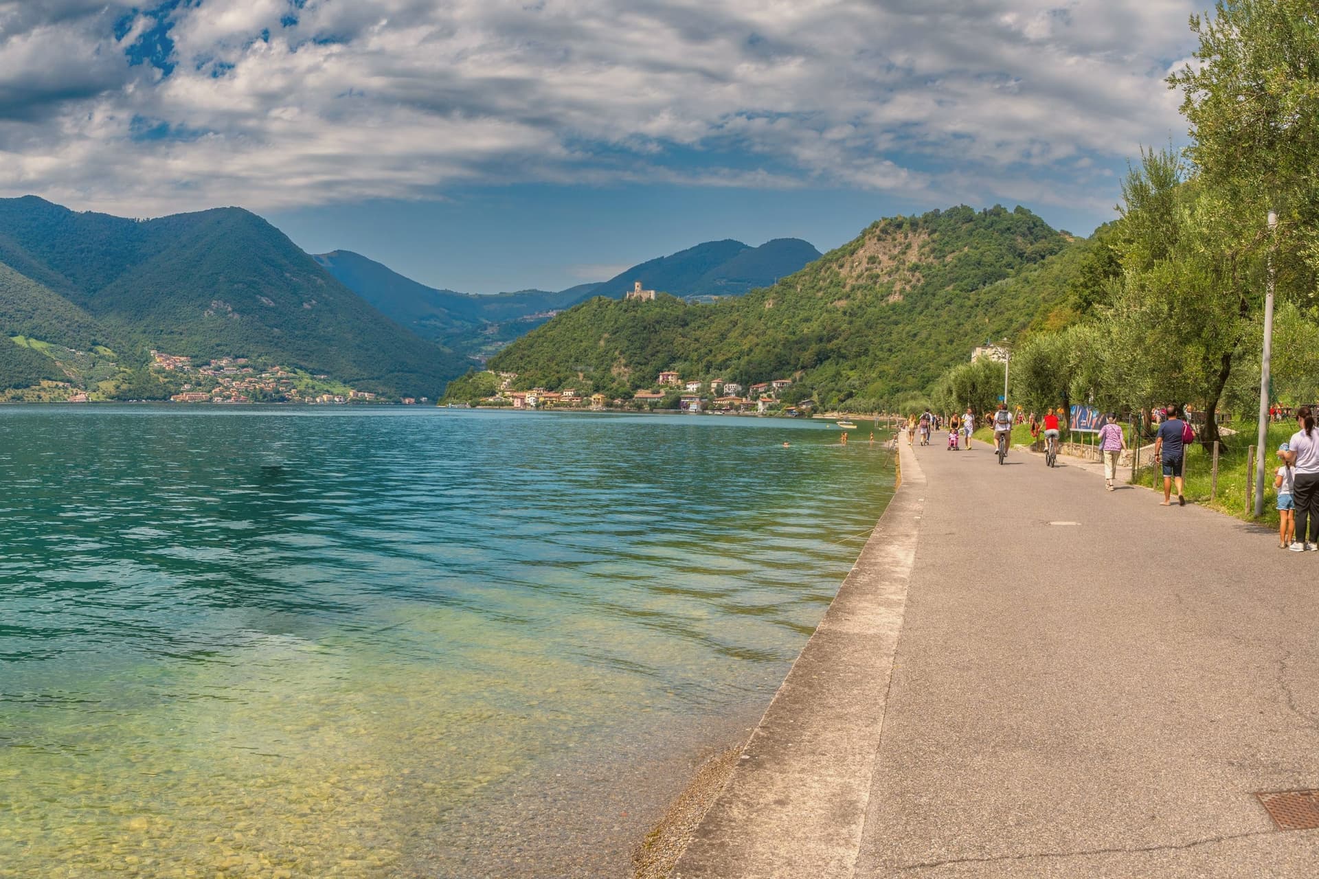
Monte Isola covers 4. 5 square kilometers in the middle of Lake Iseo, the largest lake island in southern and central Europe. Eleven villages and hamlets line the shore and climb the slopes: Peschiera Maraglio and Sensole on the south, Siviano on the north, with smaller settlements between.
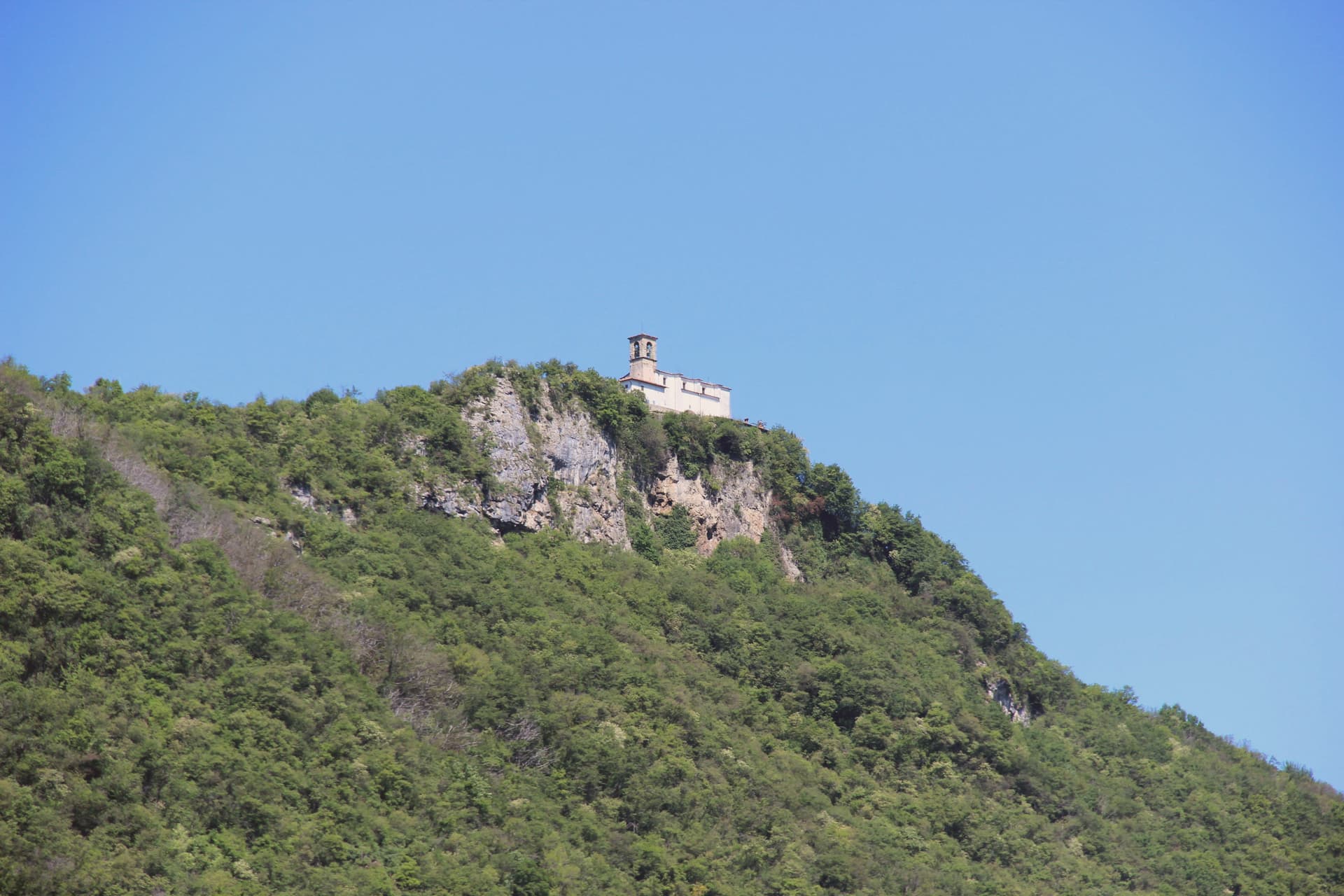
The Madonna della Ceriola sanctuary stands at 600 meters at the summit, documented in 1410 but built older, holding a twelfth-century wooden sculpture of the Virgin and Child. No private cars are allowed on the island; mopeds, bicycles and feet are the way around. The Comune still keeps the small island of San Paolo and the privately owned Loreto as part of its territory.
Fishing nets are still woven here by hand for use across the lakes of northern Italy, and wooden boats are still built by a handful of craftsmen in Peschiera Maraglio. In summer 2016, Christo and Jeanne-Claude floated their orange piers from Sulzano to the island, drawing 1. 2 million visitors in sixteen days.
The Sunday letter
Monte Isola is on our list. Its letter is still to come.
We are writing about all 1,000 of these towns, one at a time, in a free letter every Sunday: the photo, the food, the festa. That is our mission. Sign up and you will be there when Monte Isola comes up. By Peter & Sophia, from Pietrasanta.
Read on
Monte Isola in our articles
 The best small lake towns you can reach by train in Lombardia6 towns, Monte Isola among them.
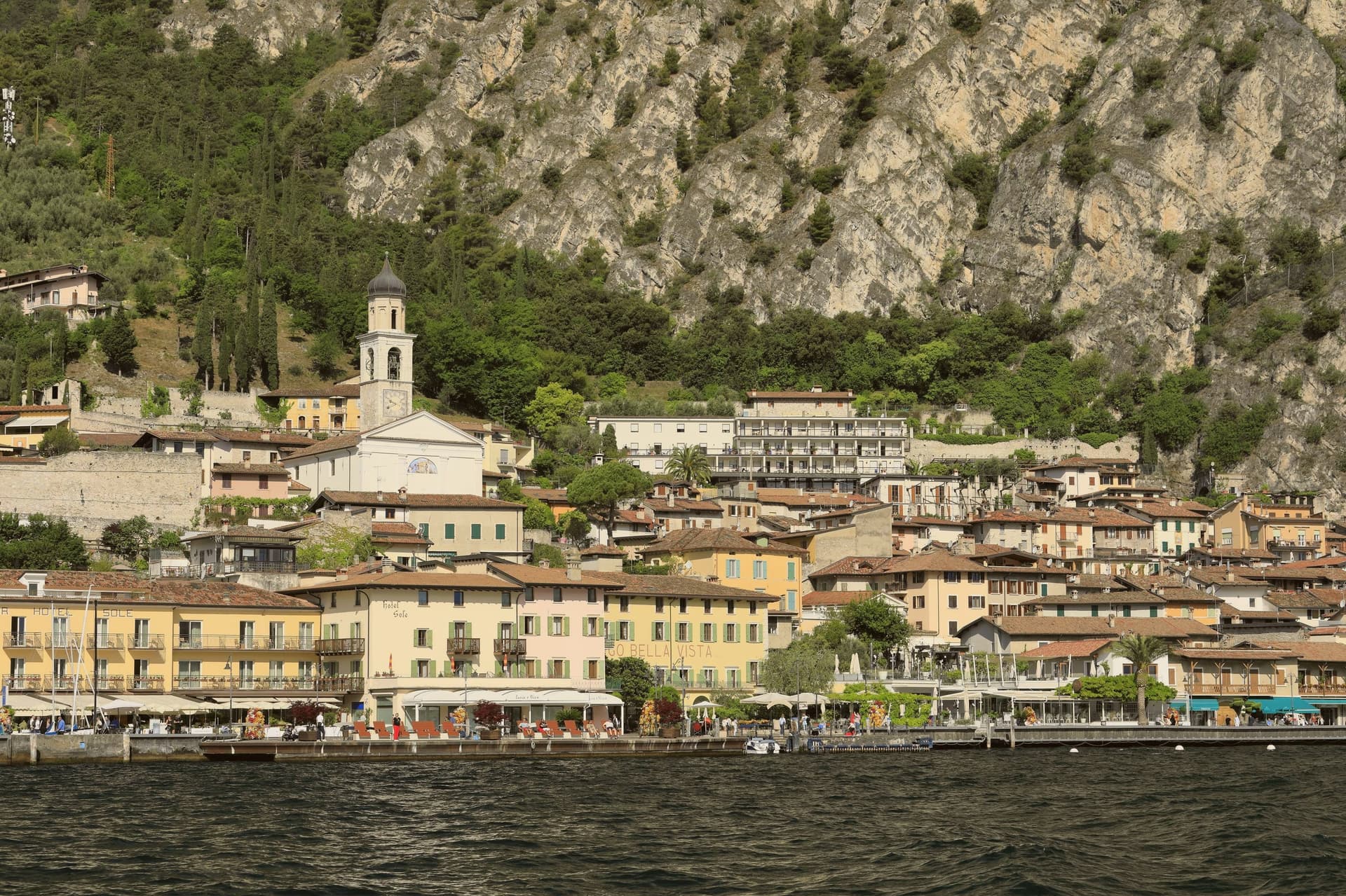 The prettiest villages in the province of Brescia6 towns, Monte Isola among them.
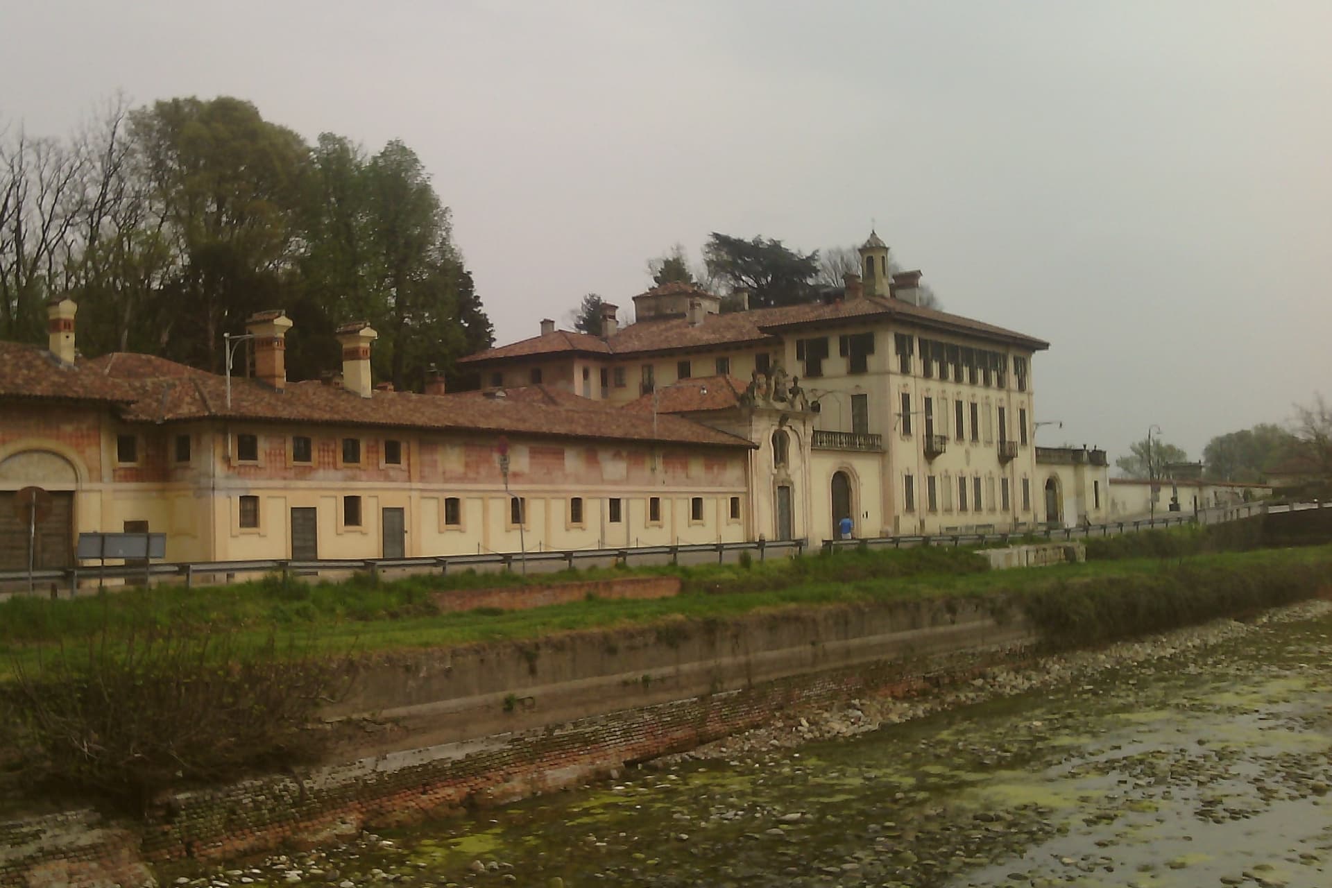 The 7 prettiest villages you can reach by train in Lombardia7 towns, Monte Isola among them.
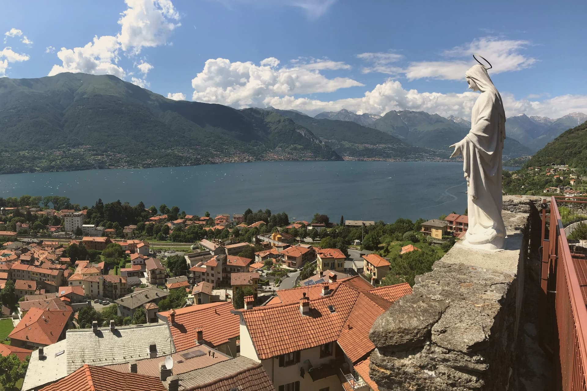 The best hidden lake towns you can reach by train in Lombardia9 towns, Monte Isola among them.
How to get there
From Milan (BGY), about 1 hour by car.
Verona (VRN) is about 1h 33m away.
By car from the centre of Brescia 48 minutes.
There is a railway station in the comune, so you can arrive without a car.
Coming by train into Brescia? Monte Isola is about 47 minutes away by road.
What to see
Santuario della Madonna della Ceriola
Pilgrimage church at the summit, 600 meters above the lake, holding a twelfth-century wooden Virgin and Child and reached only on foot from Cure.
Peschiera Maraglio
Main lake-side village on the south of the island, with the ferry landing, the boatyards and the long stone lakefront facing San Paolo.
Siviano
Capital of the comune on the north of the island, a fortified medieval hamlet with tower houses, narrow streets and the parish church.
Sensole
Lakeside hamlet on the south, the most photographed stretch of shore on the island, looking across to the private island of San Paolo.
Giro dell'isola
Nine-kilometer perimeter route around the island, walked or cycled, with no car traffic and views of the Iseo and Sebino shore.
The slow-trip planner
Building a trip? Find where Monte Isola fits in a slow Italy circuit.
Answer five questions. We will shape a geographically coherent slow trip from the 1,000 Italian towns most travelers skip. Yours to save and share.
Living here
- Population 1,620
- In-betweeni
- Pharmacy in town
- High school within a 30-minute drive
- Train station in the comune
- Nearest airport Milan, 1 h 4 min drive
- Regional capital Milano, 1 h 41 min drive
Common questions
- What is Monte Isola known for?
- Monte Isola is the largest lake island in southern and central Europe, 4.5 square kilometers in Lake Iseo, with no cars and eleven fishing villages on its shore.
- Where is Monte Isola?
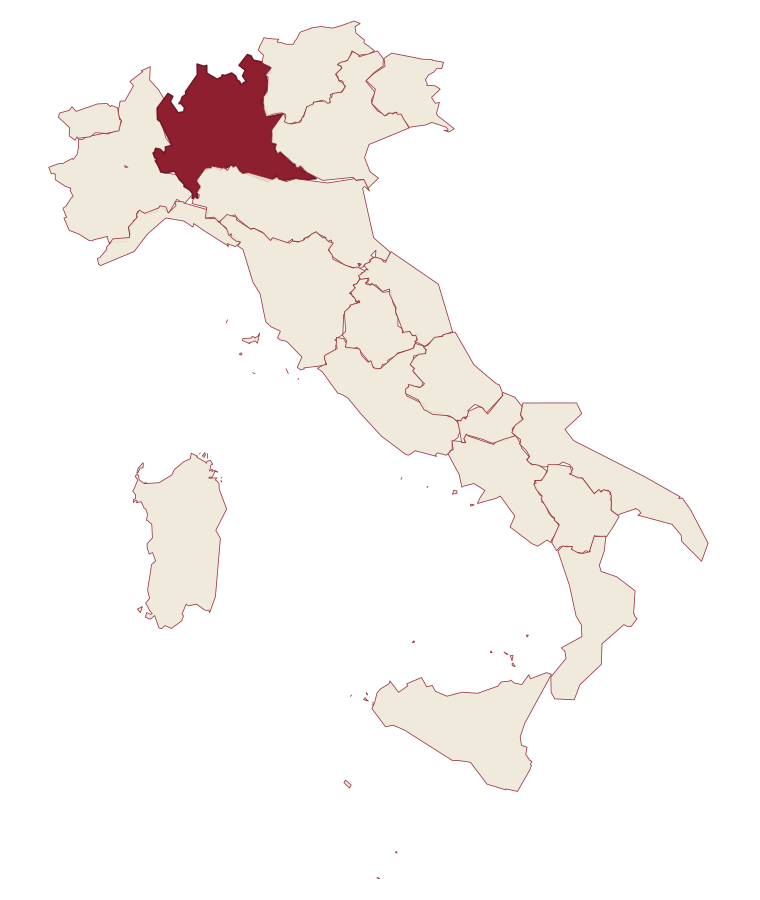
- Monte Isola is a comune in the province of Brescia, in Lombardy, at 600 meters above sea level.
- What is the nearest airport to Monte Isola?
- Milan (BGY), about 1 hour by car.
- Can you get to Monte Isola without a car?
- Yes. There is a railway station in the comune, so you can arrive by train.
- How long is the drive from Brescia to Monte Isola?
- About 48 minutes by car.
- When is the best time to visit Monte Isola?
- Best in Apr–Oct. July is the warmest month, averaging 26 degrees, and May the wettest, with about 20 rain days.
- Which other towns are like Monte Isola?
- Orta San Giulio, Porto Ceresio and Dervio.
- How many people live in Monte Isola?
- 1,620 at the 2023 count.
Tags & datadesignations · numbers · sources
Recognised as
The numbers
- Elevation: 600 m
- Population: 1,620
- Surface area: 12.8 km²
These figures were compiled from public directories: ISTAT, OpenStreetMap and Wikidata, and from the official listings of the guides named on this page. Town details change; verify with official sources before you travel.
Similar
Towns like Monte Isola
Orta San Giulio
Province: Novara
both lake towns · both under 3,000 people
Porto Ceresio
Province: Varese
both lake towns · both under 3,000 people
Dervio
Province: Lecco
both lake towns · both under 3,000 people
Mergozzo
Province: Verbano-Cusio-Ossola
both lake towns · both under 3,000 people
Ghiffa
Province: Verbano-Cusio-Ossola
both lake towns · both under 3,000 people
Gardone Riviera
Province: Brescia
both lake towns · both under 3,000 people
🎨 Borghi più belli d'Italia
More Borghi più belli d'Italia towns in Lombardy
Bagolino
Province: Brescia
A mountain village at 778 meters in the Valle del Caffaro, with a three-day February carnival of masked dancers and violins.
Bellano
Province: Lecco
An eastern shore town where the Pioverna cut a gorge through fifteen million years of rock before reaching the water.
Bienno
Province: Brescia
A medieval ironworking village where water hammers driven by the Grigna stream have shaped wrought iron since the 1200s.
Cassinetta di Lugagnano
Province: Milano
A commune west of Milan with fifteen surviving ville di delizia and Italy's first zero-growth urban plan, adopted in 2007.
Castellaro Lagusello
Province: Mantova
A walled medieval borgo south of Lake Garda, ringed by 13th-century stone walls and overlooking a small heart-shaped natural lake that gives the village its second name and most-photographed silhouette.