
Trentino-South Tyrol · Trento
Molveno
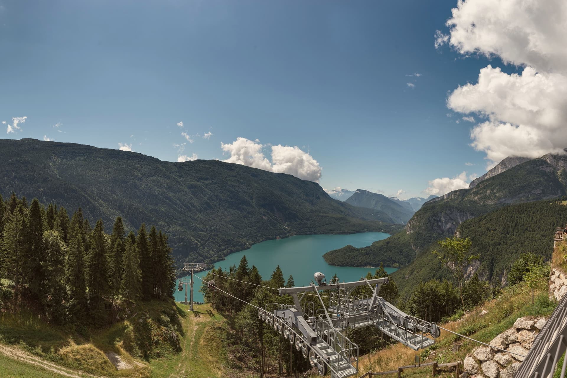
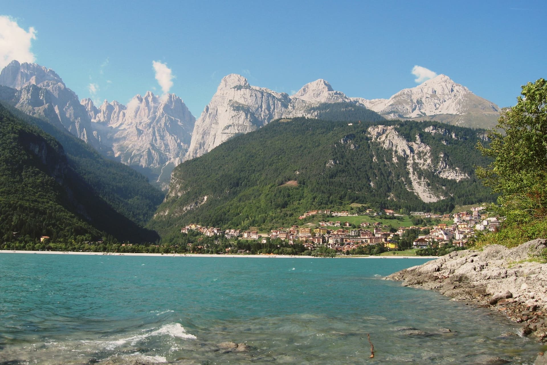
The village at the north end of a deep blue alpine lake, with a pale limestone range rising straight out of the water.
- Best time
- Apr–Oct
- By car
- 1 h 11 min from Trento
- Population
- 1,108
Known for
LAGO DI MOLVENO
Trentino's deepest lake, 124 metres, and the most decorated. Cinque Vele rated it Italy's most beautiful lake for ten consecutive years.
BRENTA DOLOMITES
The pale limestone group of Cima Tosa, Campanile Basso and Crozzon di Brenta rising straight from the western shore, inside the Adamello-Brenta park.
BANDIERA ARANCIONE
Touring Club Italiano recognition for the management of the lake, the historic centre and the relationship between village and surrounding park.
When to visit
Best · Apr–Oct
- J5°
- F8°
- M10°
- A13°
- M17°
- J22°
- J24°
- A24°
- S20°
- O15°
- N9°
- D4°
- Best
- Hot or crowded
- Quiet
- Mostly closed
Daytime averages, 2020–2024. Weather data by Open-Meteo.com.
The festa: Carlo Borromeo, 4 November
Why come
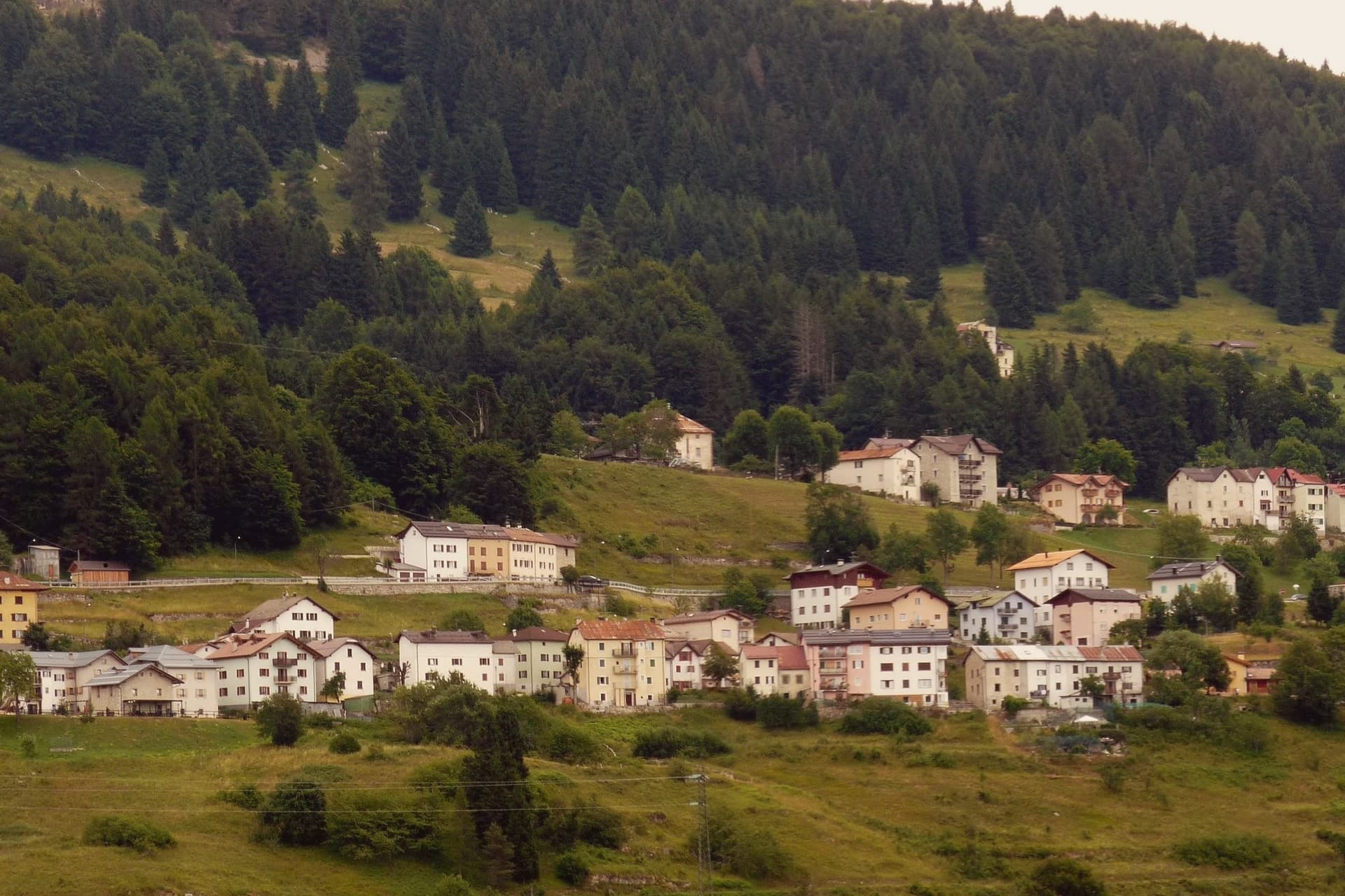
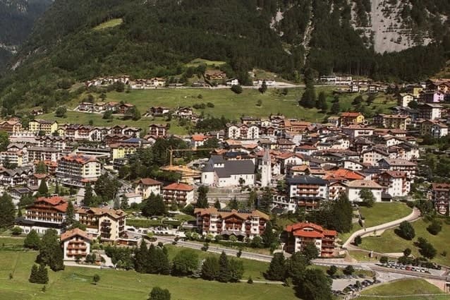
Molveno sits at 864 metres on the northern shore of a lake formed by a landslide about 4,000 years ago, held in on one side by the Brenta Dolomites and on the other by Monte Paganella. The village and its historic centre face the water from below the plateau of Pradel, which rises behind it and is reached by cable car, so the two halves of the place, lake shore and high ground, look at each other across the same stretch of blue. The cemetery church stands slightly apart, above the centre, on the same slope.
The lake is second-largest in the region by surface and the deepest in Trentino. The nature park that holds the Brenta group begins right at the western shore, which means the mountains are not a backdrop seen from Molveno but a boundary the village is built against. The result is a place with almost no distance between the water, the settlement and the wild ground above it: the whole of Molveno can be read as a narrow shelf between a deep lake and a limestone wall.
The Sunday letter
Molveno is on our list. Its letter is still to come.
We are writing about all 1,000 of these towns, one at a time, in a free letter every Sunday: the photo, the food, the festa. That is our mission. Sign up and you will be there when Molveno comes up. By Peter & Sophia, from Pietrasanta.
Read on
Molveno in our articles
 The best small high-altitude villages within 90 minutes of Trento6 towns, Molveno among them.
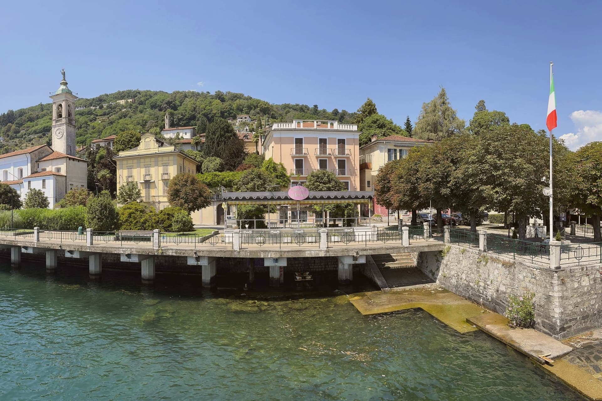 10 lake towns not on Como or Garda10 towns, Molveno among them.
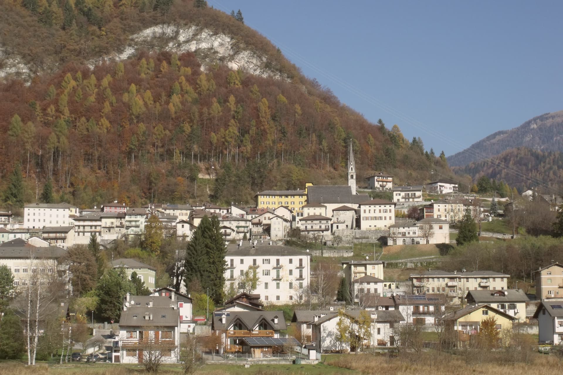 The 10 best high-altitude villages in the province of Trento10 towns, Molveno among them.
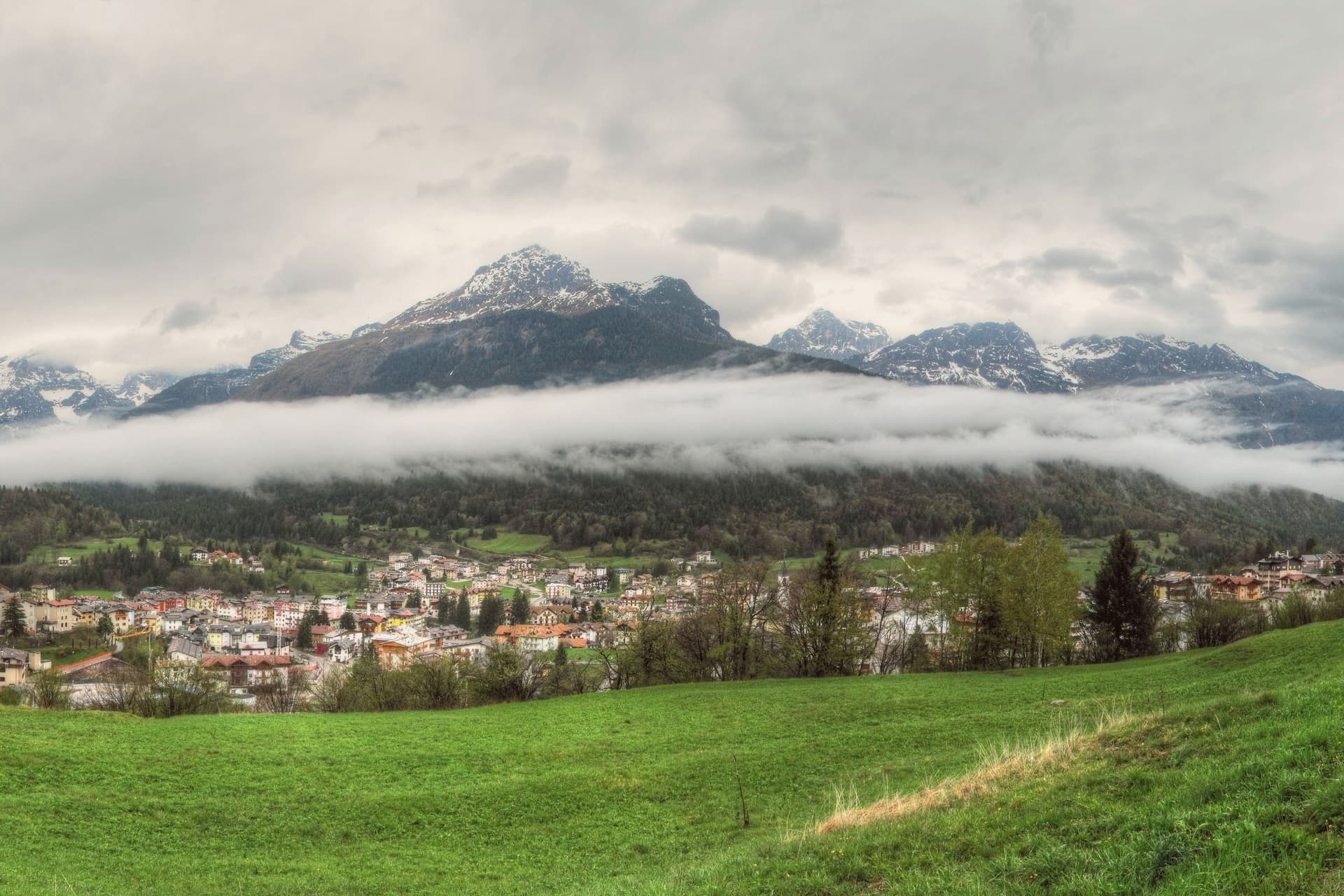 The best hidden ski towns in the province of Trento10 towns, Molveno among them.
How to get there
From Verona (VRN), about 2h 20m by car.
Milan (BGY) is about 3 hours away.
By car from the centre of Trento 1h 11m or Bolzano 1h 29m.
Coming by train into Trento? Molveno is about 1h 11m away by road.
What to see
Lago di Molveno
Four kilometres of water at 864 metres, formed by a landslide around 4,000 years ago, ringed by the Brenta Dolomites on one side and Monte Paganella on the other.
Chiesa di San Vigilio
Gothic 13th-century church inside the village cemetery above the historic centre, with stone walls and a separate bell tower.
Parco Naturale Adamello-Brenta
Largest protected area in Trentino, beginning at Molveno's western shore, with the Brenta Dolomites, brown bears, glaciers and a network of rifugi.
Pradel altopiano
Plateau above the village reached by cable car, with hiking trails, a wildlife area and views across the lake toward the Brenta group.
The slow-trip planner
Building a trip? Find where Molveno fits in a slow Italy circuit.
Answer five questions. We will shape a geographically coherent slow trip from the 1,000 Italian towns most travelers skip. Yours to save and share.
Living here
- Population 1,108
- Remotei
- Pharmacy in town
- Nearest airport Verona, 2 h 20 min drive
- Regional capital Trento, 1 h 11 min drive
Common questions
- What is Molveno known for?
- Molveno is the village at the north end of a deep blue alpine lake, with a pale limestone range rising straight out of the water.
- Where is Molveno?
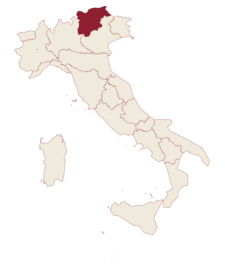
- Molveno is a comune in the province of Trento, in Trentino-Alto Adige/Südtirol, at 864 meters above sea level.
- What is the nearest airport to Molveno?
- Verona (VRN), about 2h 20m by car.
- How long is the drive from Trento to Molveno?
- About 1h 11m by car.
- When is the best time to visit Molveno?
- Best in Apr–Oct. July is the warmest month, averaging 24 degrees, and May the wettest, with about 20 rain days.
- Is there a sagra or a festival in Molveno?
- The town keeps its patron saint's day: Carlo Borromeo, 4 November.
- Which other towns are like Molveno?
- San Zeno di Montagna, Monte Isola and Tremosine sul Garda.
- How many people live in Molveno?
- 1,108 at the 2023 count.
Tags & datadesignations · numbers · sources
Recognised as
The numbers
- Elevation: 864 m
- Population: 1,108
- Surface area: 34.12 km²
These figures were compiled from public directories: ISTAT, OpenStreetMap and Wikidata, and from the official listings of the guides named on this page. Town details change; verify with official sources before you travel.
Similar
Towns like Molveno
San Zeno di Montagna
Province: Verona
both lake towns · both under 3,000 people
Monte Isola
Province: Brescia
both lake towns · both under 3,000 people
Tremosine sul Garda
Province: Brescia
both lake towns · both under 3,000 people
Limone sul Garda
Province: Brescia
both lake towns · both under 3,000 people
Brenzone sul Garda
Province: Verona
both lake towns · both under 3,000 people
Torri del Benaco
Province: Verona
both lake towns · both under 3,000 people
🟠 Bandiera Arancione
More Bandiera Arancione towns in Trentino-Alto Adige/Südtirol
Levico Terme
Province: Trento
A Habsburg spa town in the Valsugana at 520 metres, built on arsenic-iron thermal waters.
Tenno
Province: Trento
A hillside commune above Lake Garda where a medieval stone hamlet, a turquoise lake and the northernmost olive groves in Europe sit within reach of each other.
Sterzing
Province: Bolzano
A bilingual mining town at 948 metres on the Brenner road, where a 46-metre tower built in 1472 still divides the old town from the new.