The best lake towns within two hours of Parma
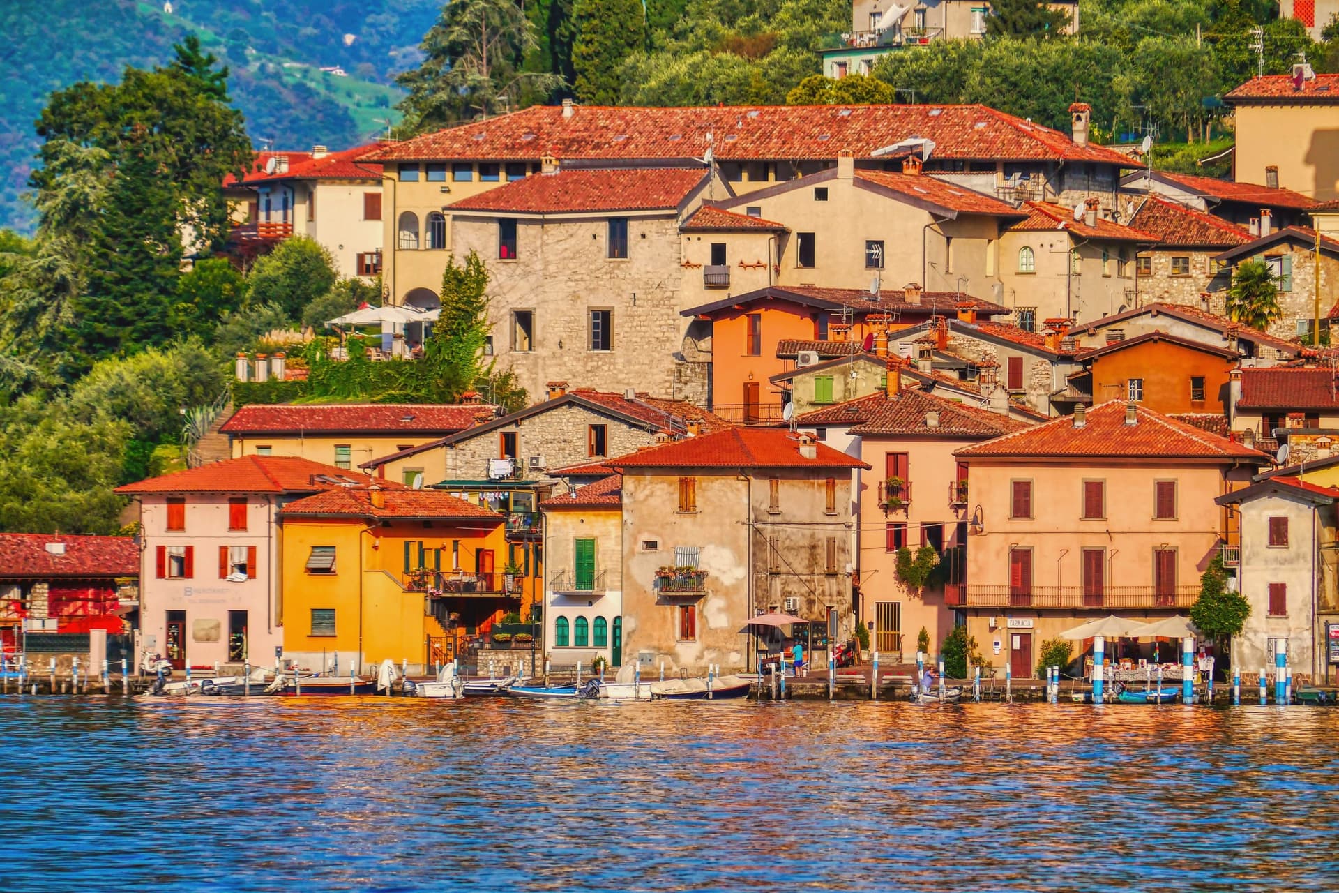
The drive from Parma up across the plain ends abruptly at water. Garda sits in a trench of its own making, warm enough for olives and lemons and capers on the walls, its western shore backed by cliffs and its southern end opening into wide shallow bays where the water goes turquoise over white gravel. Iseo, smaller and quieter, is ringed by chestnut woods and vineyards planted to Franciacorta, and its lakefront restaurants serve sardine essiccate, lake trout, and bigoli with a glass of something sparkling. Spring brings the olive blossom and the first proper swimming; September brings the grape harvest and lake water still holding August heat.
Most people arriving from Emilia head for Lake Como, and by midsummer the ferry queues at Bellagio and Varenna are long enough to eat an afternoon. Como earns its reputation, with its villas and its steep green walls, but the shoreline road is narrow, the parking is scarce, and the good tables need booking weeks out. The famous names on Garda's southern shore have their own version of the same problem in August, when the lakefront gelaterie run three deep.
The water does not stop where the crowds do. The same olive terraces, the same stone harbours, the same fried lake fish continue up the eastern shore of Garda, around the flat morainic hills behind it, and across to Iseo, where a wooded island rises out of the middle of the lake and fewer people go. These are the towns on that stretch, all of them within a couple of hours of Parma.
Of the 87 communes we have mapped in a 120-minute drive of Parma, 13 qualify as lake towns: each sits on the water. This list is 10 of them. The smallest, Monte Isola, has 1,620 residents.
If you are still choosing, we have also written The best lake towns within two hours of Bolzano and The best lake towns within two hours of Venice.
Monte Isola
Why visit Monte Isola
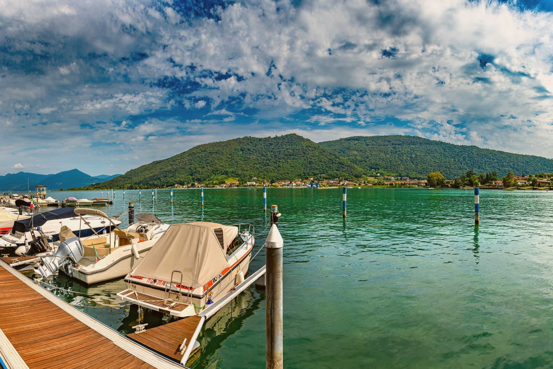
Monte Isola covers 4.5 square kilometers in the middle of Lake Iseo, the largest lake island in southern and central Europe. Eleven villages and hamlets line the shore and climb the slopes: Peschiera Maraglio and Sensole on the south, Siviano on the north, with smaller settlements between.
The Madonna della Ceriola sanctuary stands at 600 meters at the summit, documented in 1410 but built older, holding a twelfth-century wooden sculpture of the Virgin and Child. No private cars are allowed on the island; mopeds, bicycles and feet are the way around.
The Comune still keeps the small island of San Paolo and the privately owned Loreto as part of its territory. Fishing nets are still woven here by hand for use across the lakes of northern Italy, and wooden boats are still built by a handful of craftsmen in Peschiera Maraglio.
In summer 2016, Christo and Jeanne-Claude floated their orange piers from Sulzano to the island, drawing 1.2 million visitors in sixteen days.
The town sits on the water, at 600 metres.
What to see in Monte Isola
- Santuario della Madonna della Ceriola. Pilgrimage church at the summit, 600 meters above the lake, holding a twelfth-century wooden Virgin and Child and reached only on foot from Cure.
- Peschiera Maraglio. Main lake-side village on the south of the island, with the ferry landing, the boatyards and the long stone lakefront facing San Paolo.
- Siviano. Capital of the comune on the north of the island, a fortified medieval hamlet with tower houses, narrow streets and the parish church.
How to get to Monte Isola
There is a railway station in the town, so you can arrive without a car and never need one while you are here. Brescia is roughly 48 minutes away by road.
Our tip
April through October is the season Monte Isola is built for. May, June, September and early October are the best months: ferries run on schedule, the perimeter road is open to bikes, the Ceriola climb is dry. July and August bring weekend day-trippers from Brescia, Bergamo and Milano, especially Sundays; the ferries fill and Peschiera Maraglio is at capacity by mid-morning.
Predore
Why visit Predore
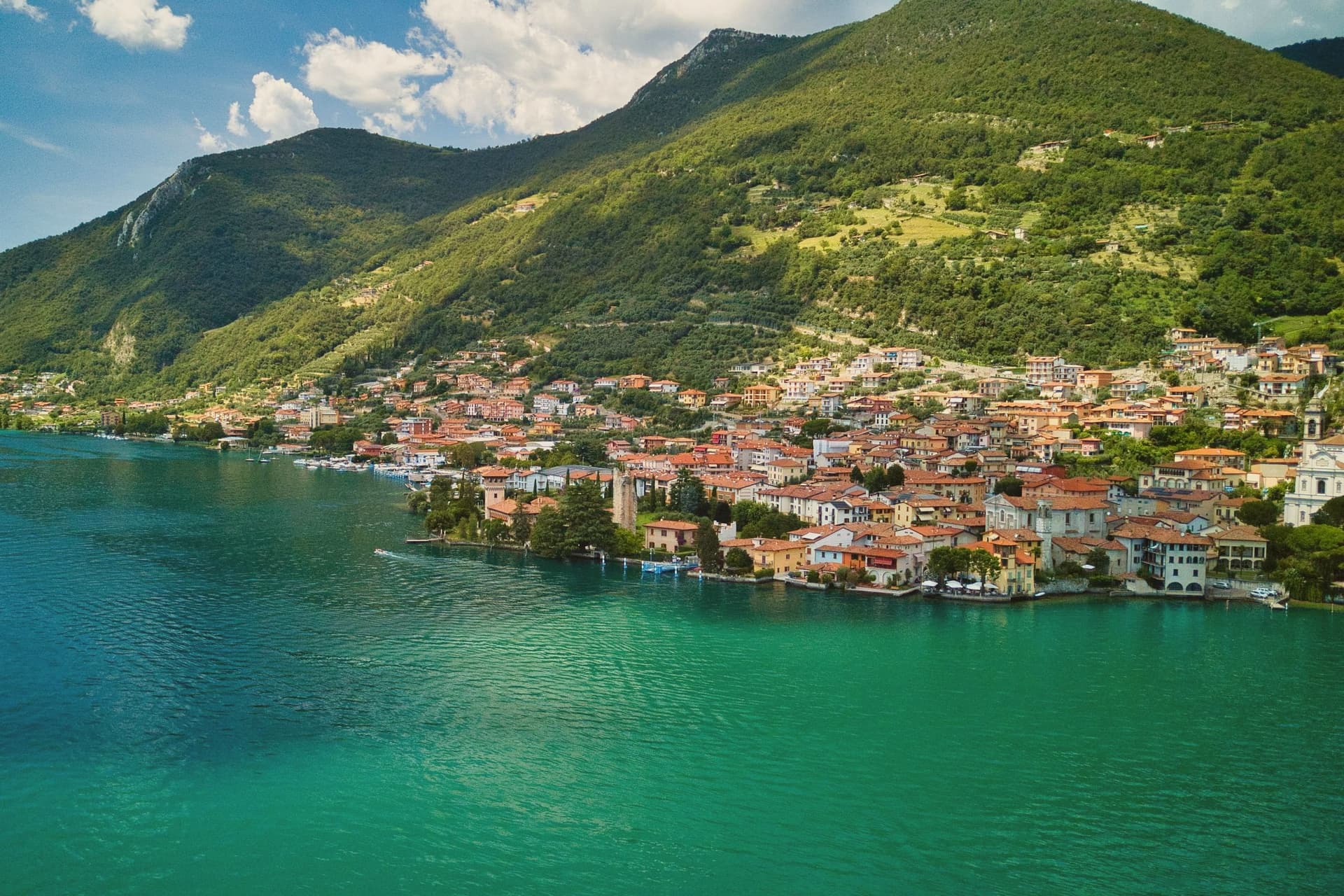
Predore sits at 198 meters on the shore, in the province of Bergamo, beyond the Valcalepio, with Monte Bronzone rising to 1,334 meters directly behind the village. The Roman villa beneath the streets extended from that mountain slope down to the ancient lakeside port, a footprint that ties the buried baths to the water rather than to the modern center.
In the medieval period the village was a fortress with two lakeside towers protecting the palace, a different kind of relationship to the shore than the villa's, defense rather than leisure. The votive altar found in the centro storico dates the site's aristocratic connections to around 201 AD, through the family of consul Marco Nonio Arrio Cuciano, while the cave above the village holds finds from a much earlier period, the only cave dwellings of that period in the whole Bergamo area.
Taken together, the layers run from Neolithic cave to Roman villa to medieval fortress, each occupying a different part of the same short rise from water to mountain.
The town sits on the water, at 198 metres.
What to see in Predore
- Terme della villa romana. The frigidarium, tepidarium, and caldarium survive underground, still legible as a sequence of rooms rather than fragments, part of the complex that once ran down toward the ancient lakeside port.
- Chiesa di San Giorgio. Small medieval church on the slope outside the centro, with architectural elements highlighted by recent restoration.
- Bus del Coren. Ground samples recovered from the cave point to settled habitation, set into the slope above the village with the lake visible below.
How to get to Predore
Bergamo is roughly 38 minutes away by road.
Our tip
April through October is the lake season on the Bergamo shore. April and May open the ferries from Iseo to Sarnico and Monte Isola, the lakefront cafés put their tables out, and Monte Bronzone clears of snow for hill walks. June through August can be hot, with afternoon highs in the low thirties; the lake breeze keeps the lungolago comfortable, and the western shore catches sunset light directly.
Torri del Benaco
Why visit Torri del Benaco
Torri del Benaco sits thirty kilometers northwest of Verona, opposite the Gulf of Salò. The name carries the old Roman name for the lake, Benacus, and the towers refer to the medieval fortifications still standing along the lakefront.
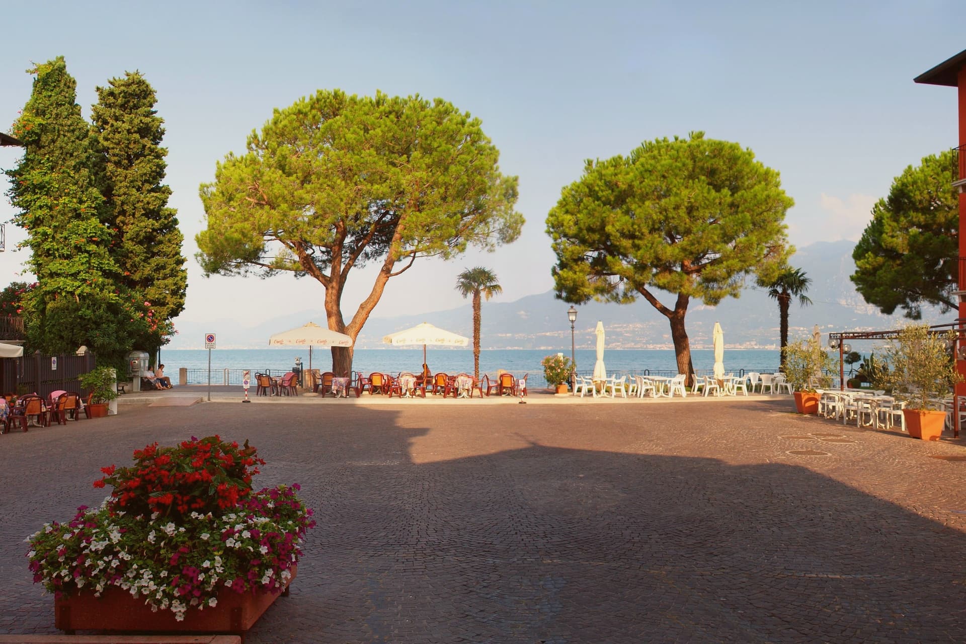
The fortress there was rebuilt over a tenth-century structure and now houses rooms on local fishing, olive cultivation and the prehistoric rock carvings found above the town. The harbor is enclosed by the old walls and towers that give the town its name, with the ferry pier and lakefront promenade running south toward Garda; the crossing to Toscolano-Maderno on the Brescian shore runs year-round, the only winter crossing on the upper lake.
Above the harbor, the frazioni of Albisano, Pai and Crero hold the hillside, their olive groves supplying oil sold under the Garda DOP label. The harbor and the narrow lanes behind it form the working center of a commune that has lived on the lake since the Roman period, its geography read straight off the name: towers below, groves above, water in between.
The town sits on the water, at 67 metres.
What to see in Torri del Benaco
- Castello Scaligero. Castle rebuilt by Antonio della Scala in 1383 over a tenth-century fortress, now an ethnographic museum on fishing, olive oil and the Monte Luppia rock carvings.
- Porto and Lungolago. Medieval harbor enclosed by old walls and towers, with the ferry pier and the lakefront promenade running south toward Garda.
- Albisano. Hilltop frazione 250 meters above the lake, with a panoramic terrace over the basin and the parish church of San Martino.
How to get to Torri del Benaco
Verona is roughly 46 minutes away by road.
Our tip
April through October is the working season. April and May bring the lake back to swimming temperature and the olive groves into flower. June through August fills the harbor and the lungolago with German and Austrian visitors; midweek mornings are still walkable, weekends queue.
Costermano sul Garda
Why visit Costermano sul Garda
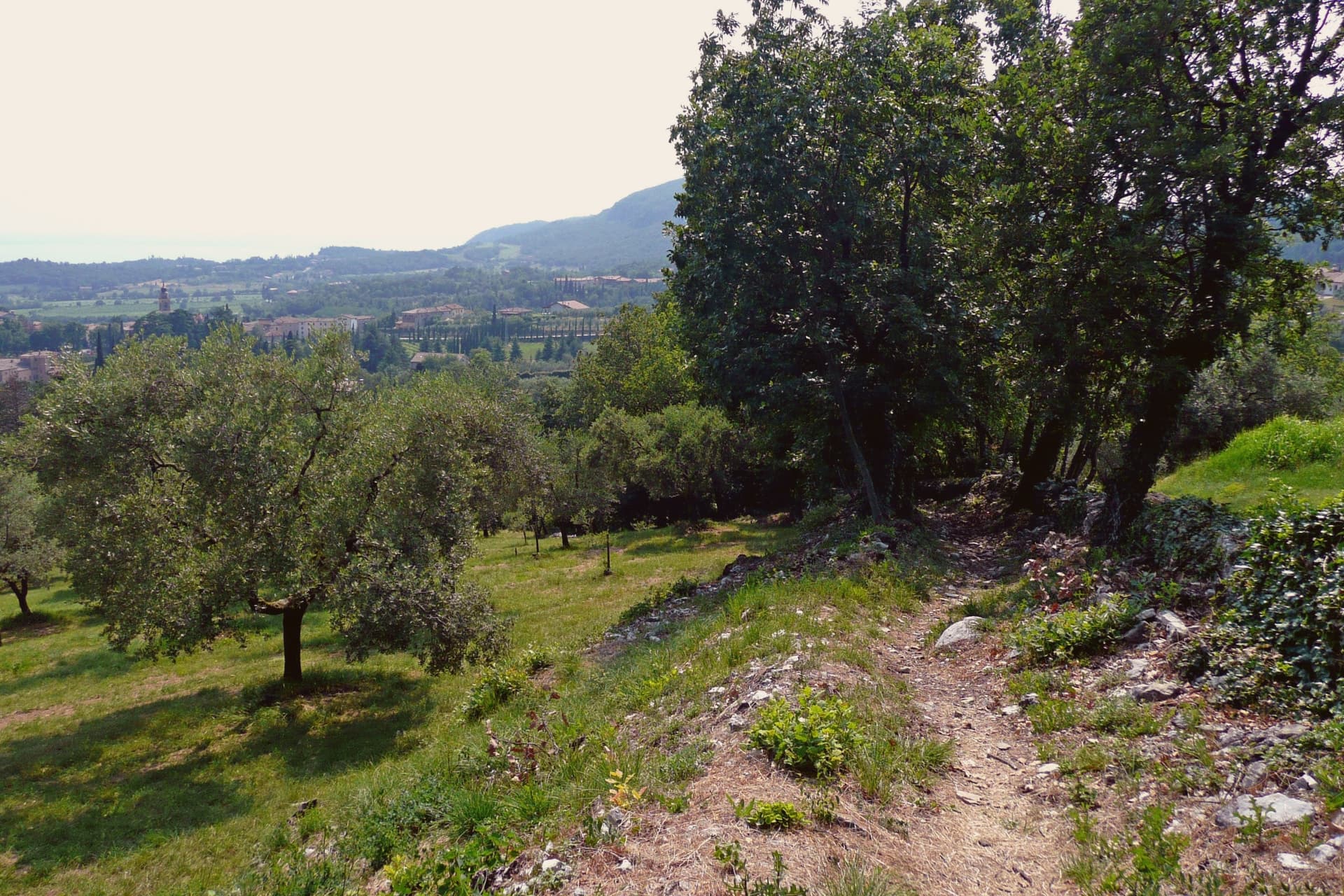
The commune sits on a moraine amphitheater twenty-five kilometers northwest of Verona. The hills were a feud of the Brescia monastery of Santa Giulia in the early Middle Ages, then passed through Scaliger and Venetian rule before joining Italy in 1866; the name sul Garda was added only in 2018, to anchor the town's tourism identity to the water it sits above rather than on.
That distinction matters here: this is not a lakefront village but a hill settlement looking down at the shore, its center, its cemetery hill, and its vineyard slopes arranged around the belvedere at Marciaga rather than around a harbor. The economy runs on olive oil and hillside vines, and on the holiday accommodation that has filled these slopes since the 1970s, but the single largest reason people come here is not agricultural.
The cemetery holds the dead of a war fought decades after the monastery's feud and centuries after the Scaliger lords, and it sits on the same morainal hill as the sanctuary, the parish church, and the vine rows, a place where the working landscape and the memorial landscape occupy the same short walk rather than separate zones.
The town sits on the water, at 237 metres.
What to see in Costermano sul Garda
- Santuario della Madonna del Castello. Sanctuary on the spur of Marciaga, its fifteenth-century frescoes intact, with a terrace looking over Lake Garda and the eastern shore.
- Deutsche Soldatenfriedhof. The graves cover the hillside above the lake, laid out since 1967 for the dead of the Second World War, a place kept in silence rather than commentary.
- Chiesa di San Siro. Parish church rebuilt in the nineteenth century in the center of the village, its freestanding campanile visible from the surrounding slopes, with a sightline to Monte Baldo across the water.
How to get to Costermano sul Garda
There is a railway station in the town, so you can arrive without a car and never need one while you are here. Verona is roughly 34 minutes away by road.
Our tip
April through October is the working window. April and May bring the lake back to swimming temperature on the shore four kilometers below, and the morainal hills into wildflower. June through August fills the holiday rentals and the lakefront day-traffic from Garda and Bardolino; the hills stay a few degrees cooler than the shore.
Lazise
Why visit Lazise
Lazise sits at 76 meters on the southeastern shore of Lake Garda, twenty kilometers northwest of Verona. The first walls went up shortly after the 983 charter; Venice took the town in 1405 and held it until Napoleon arrived in 1796, and Porta Lion, on the south, still carries the winged lion of Saint Mark from that period of rule.
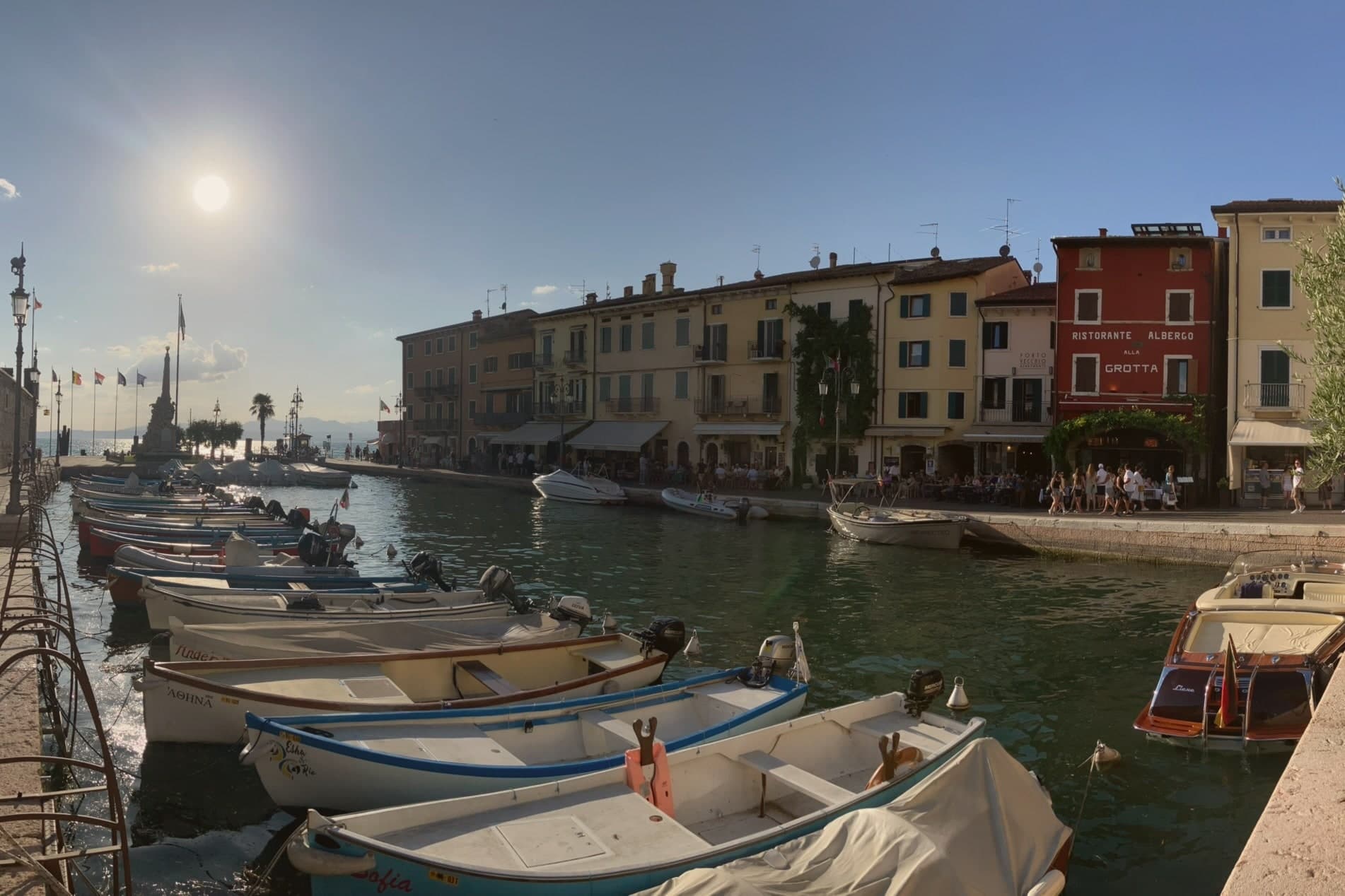
The castle anchors the southern corner of the fortifications while the harbor sits enclosed within their reach, and the church and the customs house both face onto that same stretch of water, one built for worship and later pressed into use as a warehouse, the other built outright for Venice to tax what passed through the port. Behind the town, the morainic hills carry the vines of the Bardolino DOC, and Lazise counts itself among the Veneto's wine and honey communes.
The town reads, in short, as a small fortified port whose walls, harbor and customs works were all built to serve and guard the same trade on the same shore.
The town sits on the water, at 76 metres.
What to see in Lazise
- Castello Scaligero. Rectangular fortress at the south corner of the walls, with five square towers and a fortified dock built for the lake galleys, facing Lake Garda.
- Mura medievali. Thirteen surviving towers and three gates, San Zeno, Nuova and Lion, ring the old town along the shore of Lake Garda.
- Chiesa di San Nicolò. Romanesque church on the harbor, with frescoes attributed to the Giotto school and a former function as a customs warehouse.
How to get to Lazise
Verona is roughly 36 minutes away by road.
Our tip
April through June and September through October are the right months for Lazise. The walled centro storico stays cool from the lake breeze, the harbor fills with sailboats, and the Bardolino hills behind the town are green in spring and gold in October. July and August are warm and very crowded: the southern Garda shore concentrates more than half of the lake's tourist beds, and the gates of Lazise queue from morning.
Bardolino
Why visit Bardolino
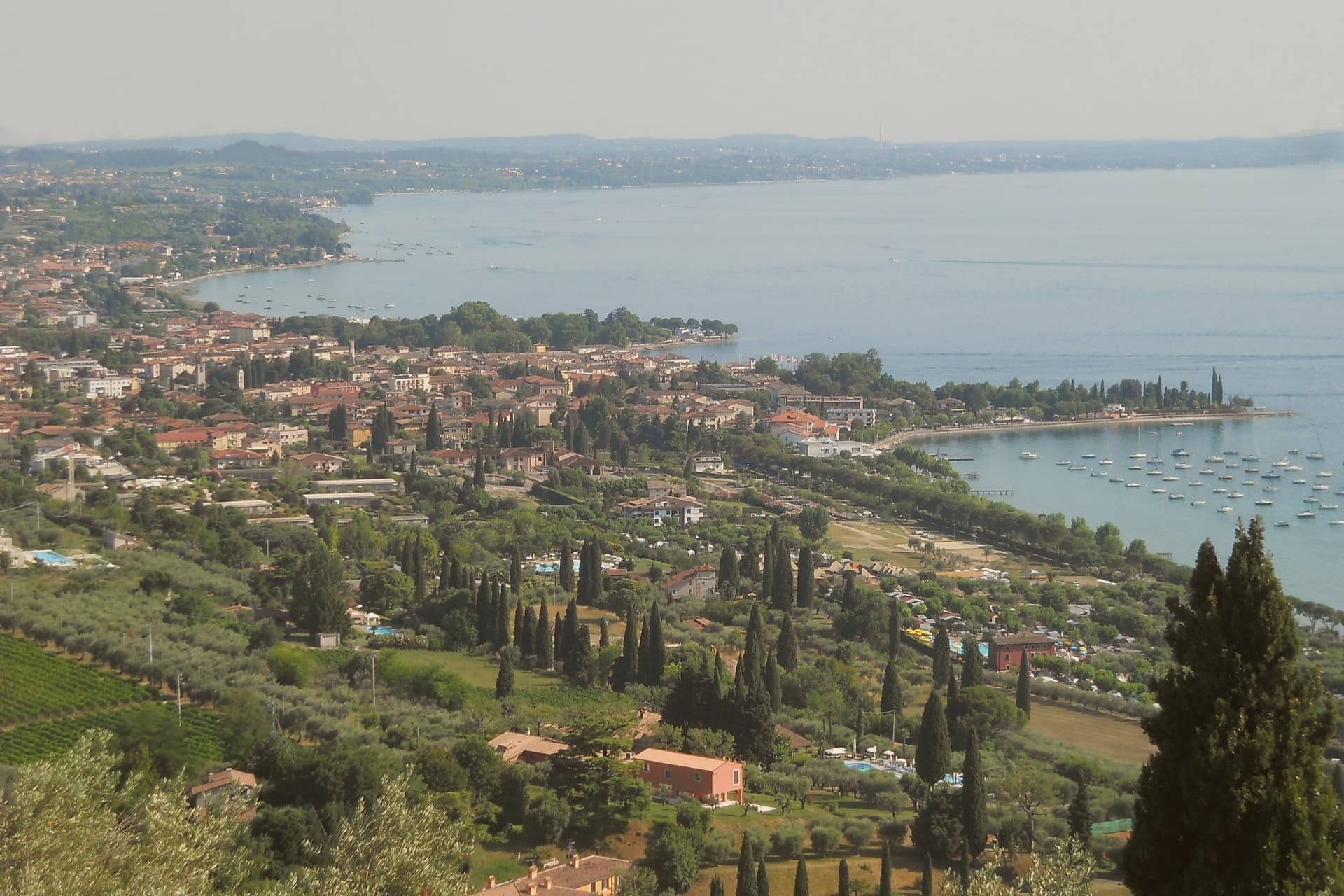
Bardolino sits on the eastern shore of Lake Garda at 65 meters, twenty-five kilometers northwest of Verona. The hills behind town have been planted with vines since the Roman period, and the modern DOC was granted in 1968.
Three grapes do the work: Corvina, Rondinella and Molinara. Long maceration produces Bardolino, the light red the town has lived on since the nineteenth century; short skin contact produces Chiaretto, the rosé that has overtaken the red in current sales.
Two churches hold the medieval line. San Zeno in the centro storico is ninth-century, one of the oldest in the province of Verona.
San Severo, built between the late eleventh and early twelfth centuries on the foundations of an earlier church mentioned in an 893 charter of Berengario, is the town's Romanesque anchor. The lakefront has been a tourist promenade since the 1950s.
The Palio del Chiaretto runs the first weekend of June; the Festa dell'Uva e del Vino runs the first week of October.
The town sits on the water, at 65 metres.
What to see in Bardolino
- Chiesa di San Severo. Romanesque church built between the late eleventh and early twelfth centuries on the foundations of a structure mentioned in a 893 charter.
- Chiesa di San Zeno. Ninth-century church in the centro storico, one of the oldest in the province of Verona, on a Latin cross plan with a small apse.
- Centro storico. Walled medieval core around Piazza Matteotti, with arcaded streets dating to the Venetian period from the fifteenth century.
How to get to Bardolino
There is a railway station in the town, so you can arrive without a car and never need one while you are here. Verona is roughly 36 minutes away by road.
Our tip
April through October is the working season. April and May bring the lake back to swimming temperature and the Romanesque churches at their quietest. June through August fills the lungolago with German and Austrian visitors; weekends are crowded, weekday mornings still manageable. Bardolino Freddo falls in August.
Iseo
Why visit Iseo
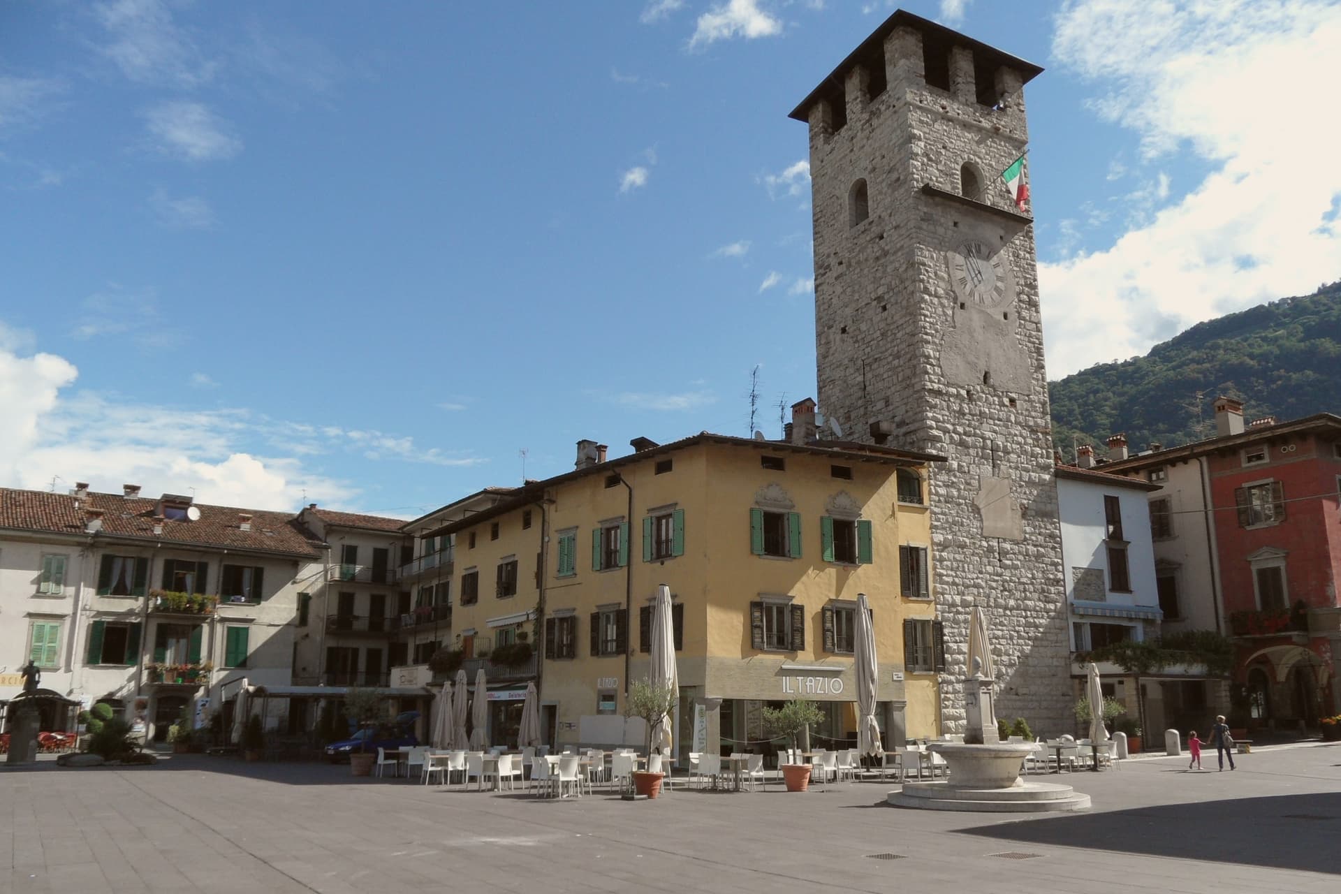
Iseo sits at 198 meters on the southeast shore of Lake Iseo, the fourth-largest lake in Lombardia, fed by the Oglio. The town was founded around a monastery in the 900s and grew under the Sozzi, the Isei, and finally the Oldofredi.
From 1428 to 1797 Iseo was part of the Republic of Venice. The lakefront and the vineyards to the south form the town's two working halves: one facing the water and the ferries that cross it, the other rising into the Franciacorta hills where the metodo classico grapes are grown.
Ferries from the lakefront connect to Monte Isola, the largest lake island in southern Europe, and to Sarnico across the water in Bergamo province. A lake town that turned its inland edge to wine and its waterfront to the island: the two directions, water and vineyard, still define how the town is used.
The town sits on the water, at 198 metres.
What to see in Iseo
- Castello Oldofredi. The stone fortress stands above the lakefront, its walls facing the water rather than the town center, a reminder that it was built to watch the lake approach.
- Pieve di Sant'Andrea. Founded by Bishop Vigilio, the church keeps its bell tower set into the middle of the façade rather than beside or behind it, an arrangement rare among Lombard Romanesque buildings.
- Piazza Garibaldi. Main lakeside square with the first Italian statue of Garibaldi, erected in 1883, the year after his death.
How to get to Iseo
There is a railway station in the town, so you can arrive without a car and never need one while you are here. Brescia is roughly 28 minutes away by road.
Our tip
April through October runs Iseo's lake season. April and May open the ferries to Monte Isola, the Franciacorta wineries reopen for tastings, and the lakefront fills on weekends. June through August is the peak window: warm enough to swim, hot enough that the centro empties between 14:00 and 17:00, and the lake breeze keeps evenings comfortable.
Salò
Why visit Salò
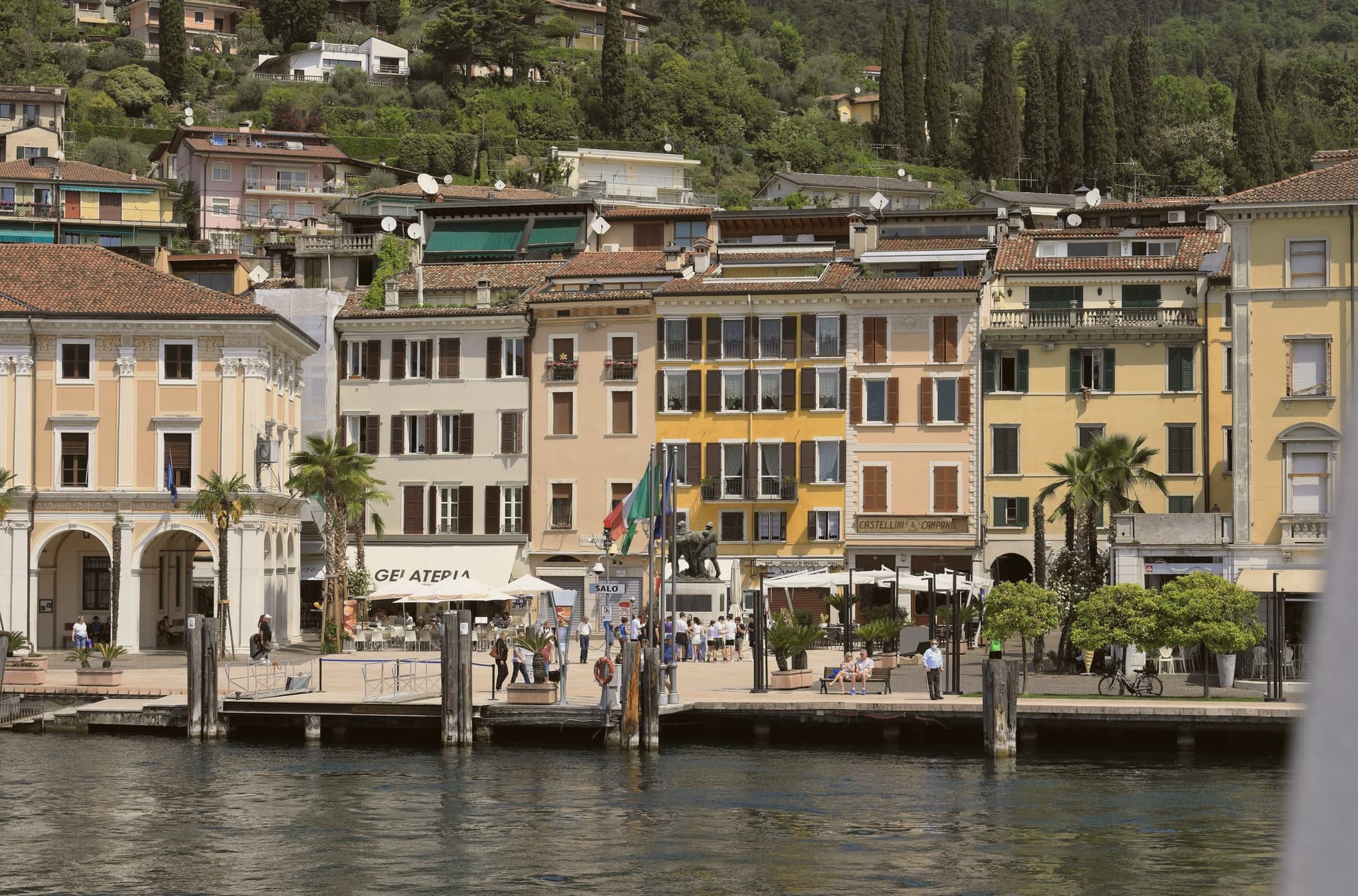
Salò sits at 65 meters on the deepest gulf of Lake Garda, between the Brescia hills and the western lakeshore. Ancient Romans founded the colony of Pagus Salodium here; the modern commune separated from Brescia at the end of the 13th century.
From 1334 to 1797, Salò was the capital of the Magnifica Patria, a federation of town councils along the western lakeshore and the Valsabbia, first known as Riperia Lacus Gardae Brixiensis: a name for the same stretch of shore the promenade now runs along. The cathedral's builders left the façade unfinished, a state it remains in above the lakefront where the palace once housed that federation's council.
In 1943-1945 the town lent its name to Mussolini's last German-backed state, headquartered in villas commandeered along that same lakefront. Today Salò runs on tourism, lake events, and the MuSa museum, which opened in 2015 in the former church of Santa Giustina and carries the town's history from the Romans who founded it through the republic that later took its name.
A federation's capital, a commandeered wartime seat, a single waterfront: three centuries of Salò's public life have all faced the same three kilometers of water.
The town sits on the water, at 65 metres.
What to see in Salò
- Duomo di Santa Maria Annunziata. The cathedral's façade was left unfinished, and the rose window dates to 1506-1508. Inside, the scale of the nave explains its old claim to being the largest church on the lake.
- MuSa. Civic museum opened in 2015 in the former church of Santa Giustina, covering Salò and its territory from Roman times through the Italian Social Republic.
- Lungolago. The promenade runs between the central pier and the gulf's southern point, three kilometers of open water on one side and the town's lakefront villas on the other.
How to get to Salò
Brescia is roughly 41 minutes away by road.
Our tip
April through October is the long Garda season. April and May bring camellias along the lungolago, the lake stays mild, and the western coast road is open without the August traffic. June through August is peak season, with hot days, swimming weather, and the lakefront cafés full from morning to midnight.
Peschiera del Garda
Why visit Peschiera del Garda
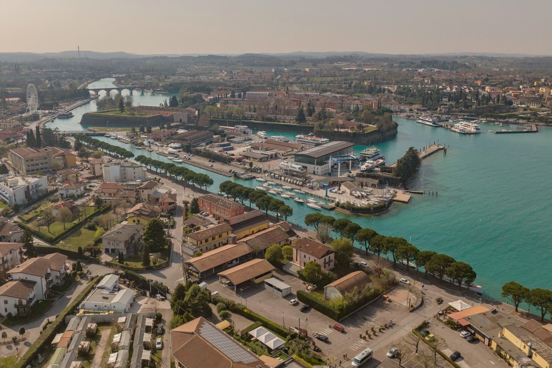
Peschiera sits at 68 meters on the Mincio at the point where the river leaves Lake Garda, twenty-five kilometers west of Verona. The Romans called it Ardelica.
The town the Republic of Venice rebuilt in 1549 was set on the medieval walls' corners, with a moat fed by the river, and the design came from Guidobaldo della Rovere before its execution on site. Austria took the town in 1815 and folded it into a wider system with Verona, Mantua and Legnago, the four together holding Lombardy-Venetia until 1866; Peschiera held the northwest corner of that arrangement, the point closest to the lake.
The fortress and the marsh settlement belong to different periods and different UNESCO listings, one Bronze Age and lakeside, one sixteenth-century and defensive, but both sit on the same stretch of water where the Mincio gathers itself before running south. The river itself is the town's organizing fact: it leaves the lake, splits into three canals to cross the walls, and rejoins below the railway bridge.
What Peschiera adds up to is a place built twice on the same threshold, where a lake becomes a river and a river becomes a border worth fortifying.
The town sits on the water, at 68 metres.
What to see in Peschiera del Garda
- Mura veneziane. Pentagonal fortress designed by Michele Sanmicheli for Venice from 1549, with five bastions, a moat fed by the Mincio and three water gates.
- Canali del Mincio. Three canals cross the fortress and rejoin below the railway bridge; the central one runs through the main square inside the walls.
- Piazza Ferdinando di Savoia. Main square inside the walls, bordered by the Palazzo del Comando, the Voltoni arches over the Mincio and the Caserma Catterin.
How to get to Peschiera del Garda
There is a railway station in the town, so you can arrive without a car and never need one while you are here. Verona is roughly 30 minutes away by road.
Our tip
April through June and September through October are the strongest months in Peschiera. The fortress walls, the moat and the Mincio canals are at their clearest in spring and autumn, and the lakefront south of the walls fills with sailing and ferry traffic. July and August push past thirty degrees and the southern Garda concentrates much of the lake's day-trip volume; the parking lots around the railway station queue from midmorning.
Lonato del Garda
Why visit Lonato del Garda
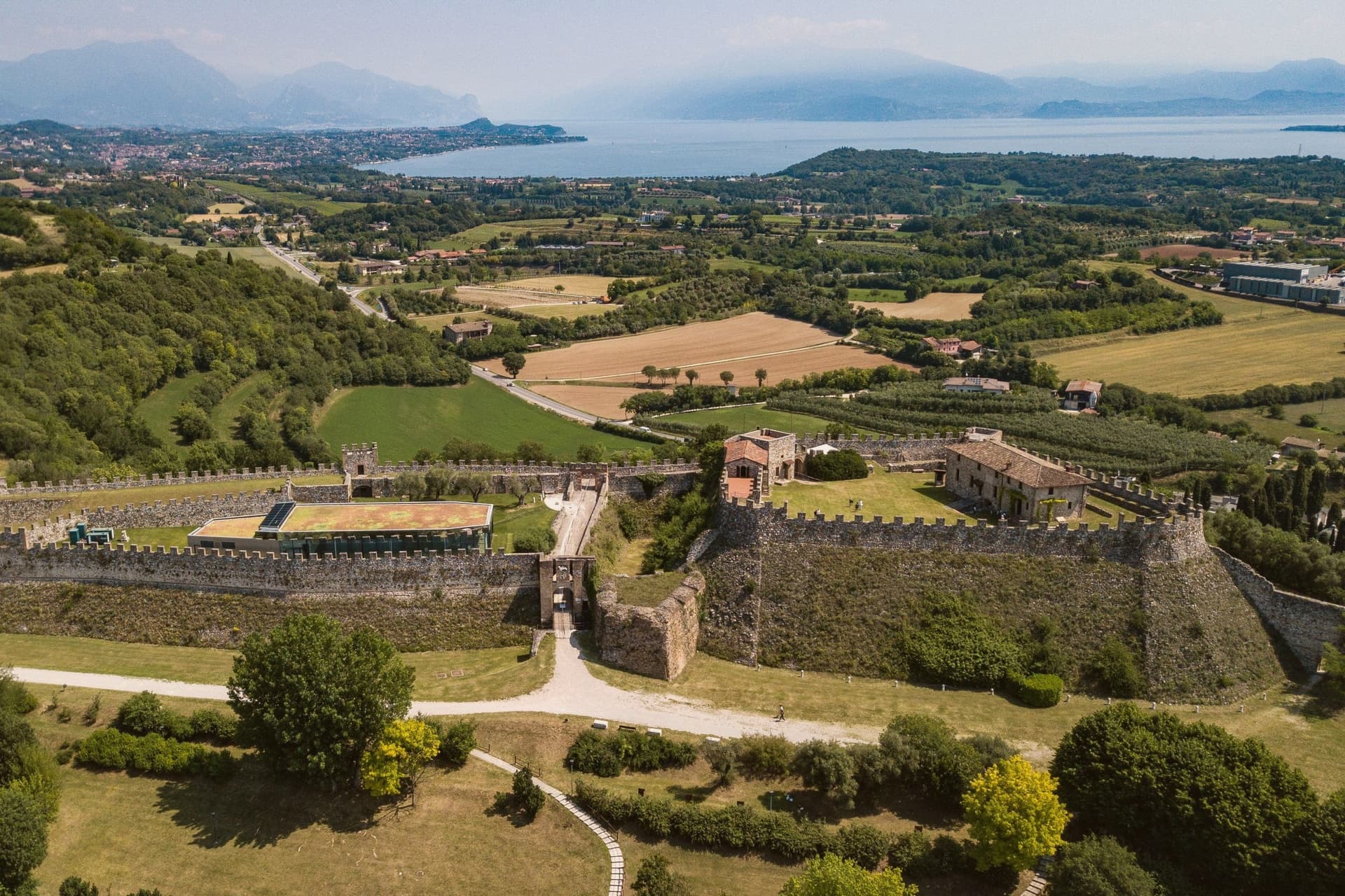
Lonato del Garda sits on a low morainic hill on the southwestern side of Lake Garda, between Brescia and the Mincio, halfway between Milan and Venice. The castle was raised on the recognition that this rise commanded the surrounding plain, a position the wife of Bernabò Visconti judged worth fortifying.
The Venetian rectors who later governed the town from their seat below the hill were themselves administering territory for a republic that reached this far inland from the lagoon, a detail the building's later life as a private museum has mostly obscured. That seat passed in 1906 to a Brescian senator and his wife, who furnished it room by room rather than converting it into something else, which is why it now reads as a residence rather than an institution.
South of the centre the ground flattens into the vineyards of the Lugana zone, the same morainic soil finishing out toward the lake's edge. The town, then, is a hill town in shape only at its summit: castle above, rectors' house and church at the level below, and the flat wine country taking over where the moraine runs out toward the water.
The town sits on the water, at 188 metres.
What to see in Lonato del Garda
- Rocca di Lonato. The upper structure stands 180 metres long, with the so-called Quartier Generale below it. The walls carry the reshaping of the 15th and 16th centuries over the original 1376 order from Regina della Scala.
- Casa del Podestà. Rooms furnished as left by their restorer, with paintings, sculpture and majolica alongside the library, including a notable collection of incunabula.
- Duomo di San Giovanni Battista. Late Baroque collegiate church in the centre, a single nave with sculpted altars and a frescoed dome.
How to get to Lonato del Garda
There is a railway station in the town, so you can arrive without a car and never need one while you are here. Brescia is roughly 32 minutes away by road.
Our tip
April through October is the working season for southern Garda, and Lonato runs on it. May and June open the Rocca and the Casa del Podestà to long visits and bring the Lugana vineyards into bloom. July and August bring lake heat and weekend crowds from Brescia and Verona, but the hill keeps temperatures three or four degrees cooler than down at the water.