
The best mountain towns within 90 minutes of Salerno
Behind Salerno the road stops being coastal within minutes. Limestone ridges rise over the Vallo di Diano and the Picentini, and the villages up there are built of grey stone and pale plaster, with balconies angled at the valley rather than the sea. The food changes as the altitude does: chestnuts, wild boar, caciocavallo podolico, cured pork, hand-rolled cavatelli, and in Irpinia the Aglianico and Fiano that grow on the slopes below the town walls. Autumn is the season everything points towards, when the chestnut and truffle fairs run through October and November and the woods turn.
Almost everyone who lands in Salerno turns right, towards Amalfi and Positano, and the coast road backs up from Vietri onwards through most of the summer. It is a beautiful drive and a slow one, and the towns along it are priced and paced for the crowd that arrives by ferry. Pompeii and Paestum take the rest of the day-trip traffic. The mountains behind, which are closer than any of it, stay comparatively quiet.
The same limestone that makes the Amalfi cliffs continues inland and simply gets higher. Within an hour and a half of Salerno there are hill towns with Norman castles, Lucanian ridge villages with suspended footbridges over gorges, and monastery towns on the floor of the Vallo di Diano. Fewer people go, the roads are empty, and the air in August is a good several degrees kinder. These are the towns worth the detour.
Of the 33 communes we have mapped within 90 minutes of Salerno, 9 qualify as mountain towns: each sits in the mountains. The smallest, Sasso di Castalda, has 733 residents.
Two more lists worth reading alongside this one: The best small mountain towns in Campania and The prettiest villages in the province of Avellino.
Sasso di Castalda
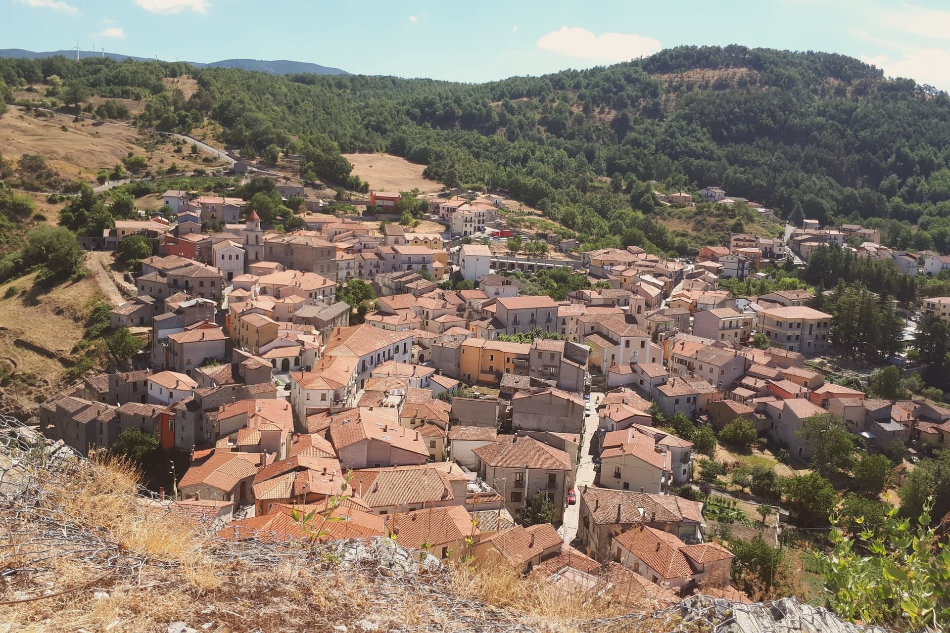
Why visit Sasso di Castalda
Sasso di Castalda sits at 949 meters in the Appennino Lucano Val d'Agri Lagonegrese National Park, on a rock spur above the Arenazzo torrent. Seven hundred and thirty people live in the medieval core that climbs toward the ruins of the Norman castello.
The village's modern claim is the Ponte alla Luna, a Tibetan-style suspension footbridge installed in 2014: a single span of 300 meters, 102 meters above the gorge, paired with a shorter second crossing in a circuit walked annually by more than 30,000 visitors. The name reaches back further.
Rocco Petrone, born in New York in 1926 to emigrants from Sasso, became NASA's launch director for the Saturn V and ran the Apollo program through the first moon landing in 1969. The bridge points at the connection.
The old town below holds the Chiesa Madre, San Rocco and San Nicola, walked in twenty minutes end to end.
The village sits at 949 metres.
What to see in Sasso di Castalda
- Ponte alla Luna. Tibetan suspension footbridge of 300 meters at 102 meters above the Arenazzo torrent, named for emigrant Rocco Petrone who launched Apollo 11.
- Castello. Norman fortress ruins crowning the rock spur above the village, the historic defensive anchor of the Lucanian Apennine valley.
- Chiesa Madre. Mother church in the centro storico, the principal religious building of the upper village around the castle rock.
How to get to Sasso di Castalda
Salerno is roughly 75 minutes away by road.
Our tip
May through October is the bridge season. The Ponte alla Luna runs ticketed crossings on a daily schedule, and the surrounding national park trails dry out from April onward. July and August are the busiest weekends, with bus tours arriving from Potenza and Salerno; the centro storico empties between three and six in the afternoon as the rock face holds the heat.
Summonte
Why visit Summonte
Summonte sits at the foot of the Partenio massif, ten kilometers from Avellino. The name comes from the Latin Submontis, under the mountain.
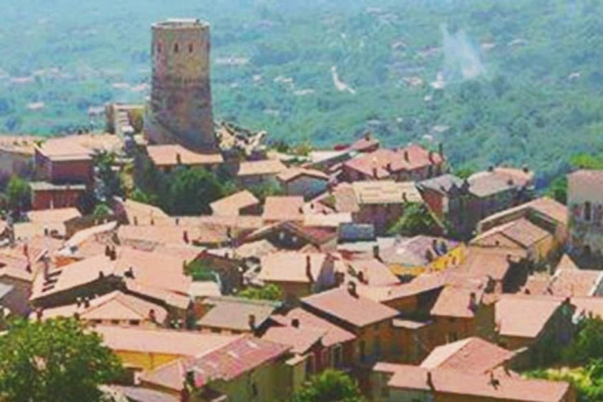
Pre-Roman tombs of the Osci show the slope was inhabited well before the current village, which dates from the 5th century when refugees from Nola, Abella and Abellinum took to the heights to escape the barbarian raids. The borgo grew in concentric arcs around its tower, and the arrangement still reads on the ground: stone houses ring the base of Monte Vallatrone in rising bands, with the old center closest to the summit and the parish church down in the lower village.
The Della Leonessa family held the fief through the late Middle Ages and the Doria del Carretto controlled it for two centuries until feudalism ended in 1806. Hazelnuts from the surrounding slopes feed the Avellino industrial chain that supplies Nutella and the pasticceria of Naples.
The shape of Summonte, refuge above, orchard below, is the same logic repeated twice: the village climbed the mountain for safety, and the economy came back down it for trade.
The village sits at 738 metres.
What to see in Summonte
- Torre Angioina. Built 13th-14th century on the ruins of a Norman-Swabian castle, the tower stands as the centre and emblem of the village on Monte Vallatrone, its cylinder rising clear of the rooftops.
- Centro storico di Summonte. Concentric medieval village wrapped around the tower, stone houses climbing the slope with views across the Partenio.
- Chiesa di Santa Maria Maggiore. Parish church in the lower village, with a Baroque interior reconstructed after the 1980 Irpinia earthquake.
How to get to Summonte
Salerno is roughly 90 minutes away by road.
Our tip
May through October is the comfortable window. June and September are the prime months at 738 meters: the temperature sits in the low twenties even when Avellino below pushes the upper twenties, and the Partenio trails are open without summer haze. July and August can run warm at midday but the upper village stays cool after sundown.
Trentinara
Why visit Trentinara
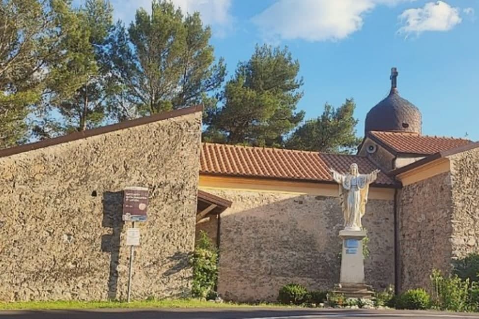
Trentinara sits at 606 meters on the Cantenna cliff in the northern Cilento, forty-five kilometers from Salerno, ten from Paestum. From the cliff edge the view runs across the Sele plain, the Greek temples below, the Gulf of Salerno and Capri on a clear day, which is why the town is called the Terrazza del Cilento.
The local legend explains the cliff a different way. Saul, a bandit chief, fell in love with Isabella, daughter of the marquis.
Forbidden to marry, the two jumped from the Cantenna together; the boulders below, the Preta 'ncatenata, are still pointed out as the place where their bodies fused. The Cilento in Volo zipline opened on the cliff edge: 1,500 meters of cable, 170 meters of drop, top speed 120 km/h, ending near Capaccio.
The centro storico above is small, around 1,581 residents, with the Chiesa di San Nicola at the top of the ridge and a glass terrace, the Coast to Coast skywalk, suspended over the void.
The village sits at 606 metres.
What to see in Trentinara
- Terrazza del Cilento. Panoramic cliff edge looking across the Sele plain to Paestum, the Gulf of Salerno and Capri, with a glass-floor skywalk added in 2021.
- Cilento in Volo. Zipline 1,500 meters long with a 170-meter drop and top speed of 120 km/h, descending from Monte Cantenna toward Capaccio.
- Preta 'ncatenata. Two boulders below the cliff, identified as the place where the legendary lovers Saul and Isabella came to rest, the so-called Romeo and Juliet of the Cilento.
How to get to Trentinara
Salerno is roughly 69 minutes away by road.
Our tip
May through October is the open season for Trentinara. The 606-meter cliff catches the breeze even in July and August, when the Sele plain below is hot and the temples of Paestum bake. The zipline runs through the warm months and books up on summer weekends.
Gesualdo
Why visit Gesualdo
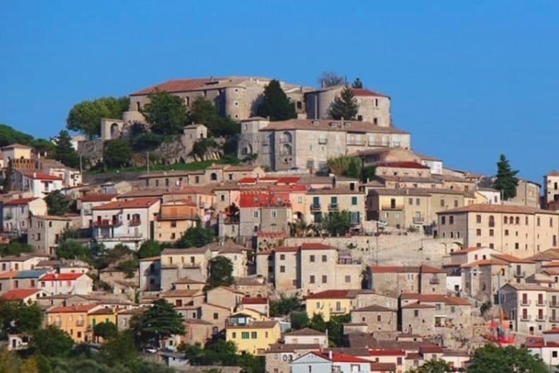
Gesualdo sits at 676 meters in central Irpinia, between the Fredane and Ufita valleys, 35 kilometers from Avellino. The castle on the hill is the reason the town exists in its present form: a Norman fortress raised in the 12th century, later rebuilt as a Renaissance court with frescoed apartments and an interior chapel.
The medieval village wraps around that hill, its stone houses set on the slopes above the two river basins, so the town reads as a single unit with the fortress at its head and the lower parish, home to the Chiesa del Santissimo Rosario, gathered below. The 1980 Irpinia earthquake damaged the castle severely, and reconstruction has been partial since the 2010s.
What stands today is a village still organized around a court that Carlo Gesualdo built for music and is remembered for a killing: the layout of Gesualdo, upper castle and lower village, mirrors the split in his own reputation, prince and composer above, the scandal that never left him below.
The village sits at 676 metres.
What to see in Gesualdo
- Castello di Gesualdo. Norman fortress of the 12th century, damaged in the 1980 earthquake and partly reopened in 2015 with restricted access. Carlo Gesualdo's frescoed apartments survive within, the rooms where the madrigals were composed and where Tasso and Marenzio were once received.
- Cappella di Santa Maria delle Grazie. Sixteenth-century chapel inside the castle complex, its frescoes commissioned by Carlo Gesualdo after his second marriage to Eleonora d'Este, a private space attached to the court rather than the parish.
- Centro storico di Gesualdo. Medieval village wrapped around the castle hill, stone houses on the slopes of the Fredane and Ufita basins, partly rebuilt after the 1980 earthquake.
How to get to Gesualdo
Salerno is roughly 80 minutes away by road.
Our tip
May through October is the comfortable window at 676 meters. June and September are the prime months: the temperature sits in the low twenties, the castle and the centro storico are walkable without summer heat, and the Gesualdo Festival of early music plays inside the castle complex on summer weekends. July and August run warmer at midday but the ridge cools after sundown.
Frigento
Why visit Frigento
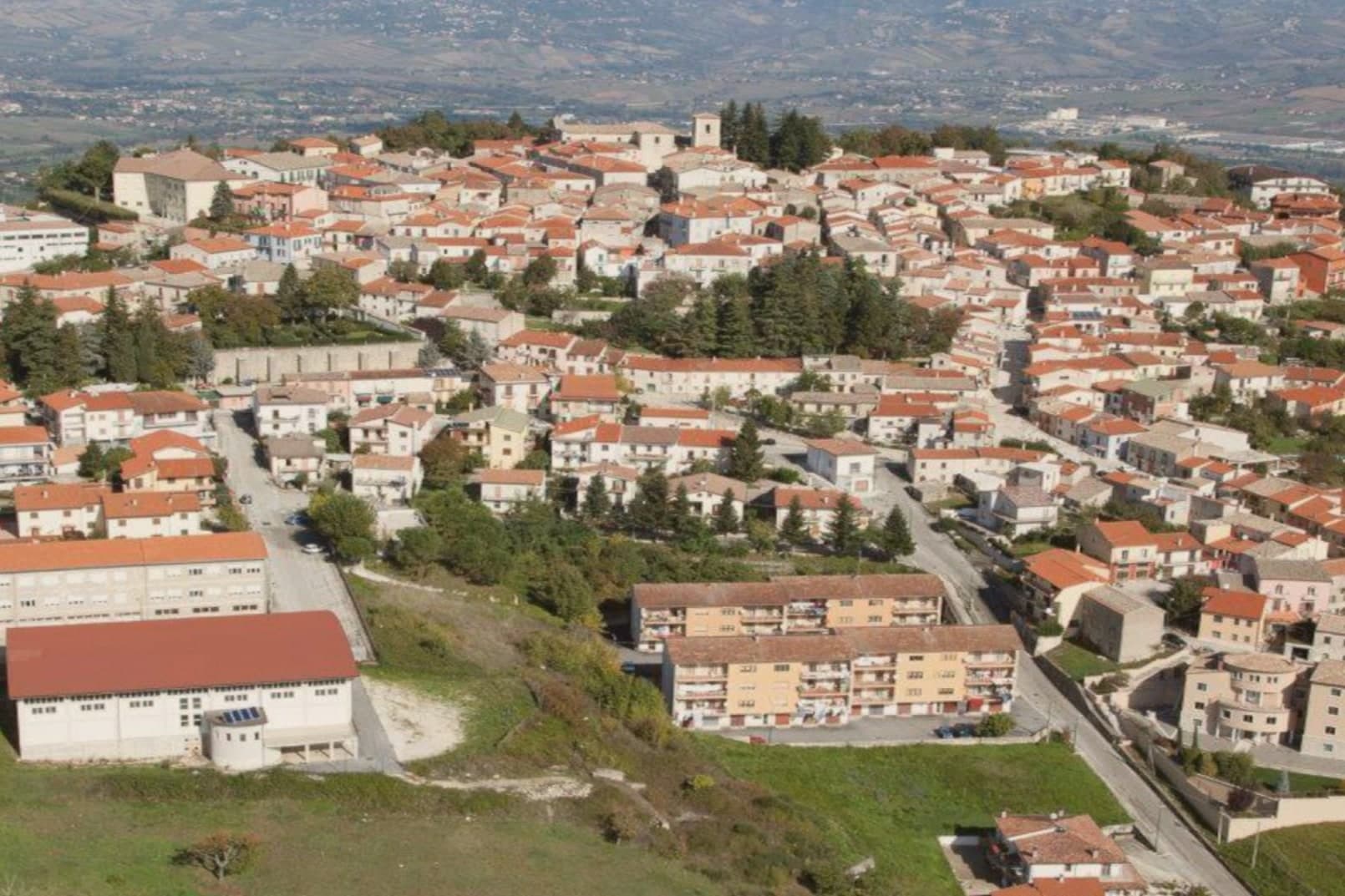
Frigento sits at 911 meters on a ridge in central Irpinia, 40 kilometers from Avellino, on a hill that overlooks the Ufita valley to the north, the Fredane to the south, the Ansanto to the east and the Calore to the west. The summit holds an opus incertum water complex from the 1st century BC, the Cisterne Romane, a vaulted chamber system probably built to serve a cluster of rustic villas linked to nearby Aeclanum on the Via Traiana.
The medieval village grew on top of the same ridge in the late Lombard period as a defensive site between the bishoprics of Benevento and Conza. The 1980 Irpinia earthquake hit the centro storico hard; reconstruction has been slow but most of the old village still stands in stone above the cisterns.
From the summit the view runs from the Apennines to the Daunia hills on a clear day. The commune is a Borgo più Bello d'Italia and a hazelnut and grain area, with cheese from the surrounding pastures.
The village sits at 911 metres.
What to see in Frigento
- Cisterne Romane. Opus incertum water complex from the 1st century BC at the highest point of the village, the largest preserved Republican cistern in Irpinia.
- Centro storico di Frigento. Medieval stone village on the summit ridge, partly rebuilt after the 1980 Irpinia earthquake, with the four-valley panorama from the upper streets.
- Chiesa di Santa Maria Assunta. Former cathedral of the Diocese of Frequentum, reconstructed after the 1980 earthquake, with a Renaissance baptismal font and a crypt.
How to get to Frigento
Salerno is roughly 84 minutes away by road.
Our tip
May through October is the comfortable window at 911 meters. June and September are the prime months: the temperature sits in the low twenties when Avellino below pushes the upper twenties, the four-valley views are clear, and the cistern site stays accessible. July and August can run warm at midday but the ridge cools off after sundown. Cicerchiamo falls in the season.
Nusco
Why visit Nusco
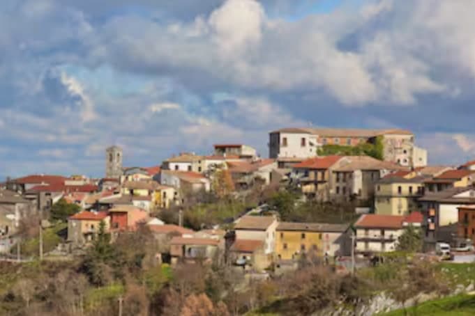
Nusco runs along a narrow ridge at 914 meters between the Ofanto and Calore Irpino river valleys, the watershed of inner Irpinia. The first written record is the 1093 will of bishop Amatus, who described his seat with the word civitas.
He was canonised after his death that year, and the Concattedrale di Sant'Amato in Piazza Vescovado holds his cult and treasury today, its composite stone façade and 33-meter bell tower set on a medieval church dedicated to Saint Stephen. In 1656 the plague killed up to a third of the population.
The streets of the centro storico are still paved in limestone slabs, which gives the town its nickname, the Balcony of Irpinia. Ciriaco De Mita, prime minister from April 1988 to July 1989, was born here and served as mayor until his death in 2022; the crowd applauded as his coffin reached the church.
The village sits at 914 metres.
What to see in Nusco
- Concattedrale di Sant'Amato. Co-cathedral in Piazza Vescovado, composite stone façade and 33-meter bell tower added in 1891, houses the relics and Treasure Room of the patron saint.
- Ruderi del Castello Longobardo. Ruins of the Lombard fortress at the highest point of the ridge, the original strongpoint that anchored the medieval civitas.
- Centro storico. Limestone-paved medieval lanes along the narrow ridge, the source of the Balcony of Irpinia nickname.
How to get to Nusco
There is a railway station in the town, so you can arrive without a car and never need one while you are here. Salerno is roughly 71 minutes away by road.
Our tip
May through October is the open season at 914 meters. Days run warm and dry, nights stay cool, and the limestone ridge gives long views across the Ofanto basin. July and August are tolerable up here while the lower Irpinia valleys bake, and the town fills on the August feasts as the diaspora returns from Avellino, Naples and abroad.
Padula
Why visit Padula
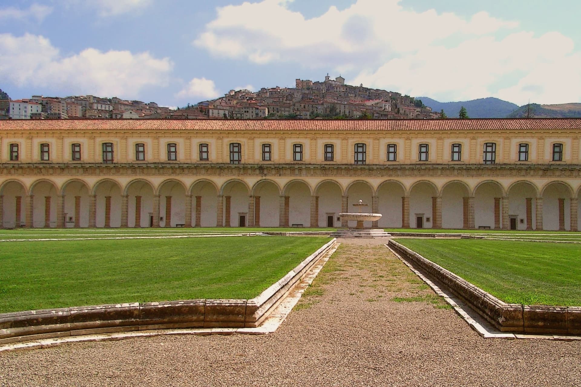
Padula sits on two hills above the Vallo di Diano, the long valley between the Cilento and the Lucanian Apennines. The monastery was founded on 27 April 1306 by Tommaso di Sanseverino, and UNESCO listed it in 1998 as part of the Cilento and Vallo di Diano serial site.
The medieval centro climbs the hill above it, stone houses and narrow lanes rising to the church of San Michele Arcangelo at the summit, from where the valley opens out below. It was in these streets that the 1857 volunteers were captured and killed, an event the town still marks with its monument.
The commune is also Città del Pane, for the round wheat loaves baked in local wood ovens. Padula reads as a town built around a single enormous fact below it and a smaller, older settlement above, the two connected by a hillside that has seen both monastic ambition and a violent end to a political expedition.
The village sits at 699 metres.
What to see in Padula
- Certosa di San Lorenzo. 320 rooms and 51,500 m² of floor above the Vallo di Diano, its plan said to recall the griddle on which the dedicatee saint was burned alive. Built and rebuilt over four centuries by Carthusians suppressed in 1866.
- Centro storico di Padula. Medieval hill town above the monastery, with stone houses, narrow lanes, and the church of San Michele Arcangelo at the top.
- Battaglia di Padula. Monument to the fight in which the volunteers were captured and killed by Bourbon troops and local farmers in the streets of the centro.
How to get to Padula
There is a railway station in the town, so you can arrive without a car and never need one while you are here. Salerno is roughly 73 minutes away by road.
Our tip
May through September is the strongest window. The Vallo di Diano at 699 meters keeps cool nights even in August, and the Certosa di San Lorenzo opens longer hours through summer. July and August can climb past thirty degrees on the valley floor but the hill above keeps a usable breeze.
Lagonegro
Why visit Lagonegro
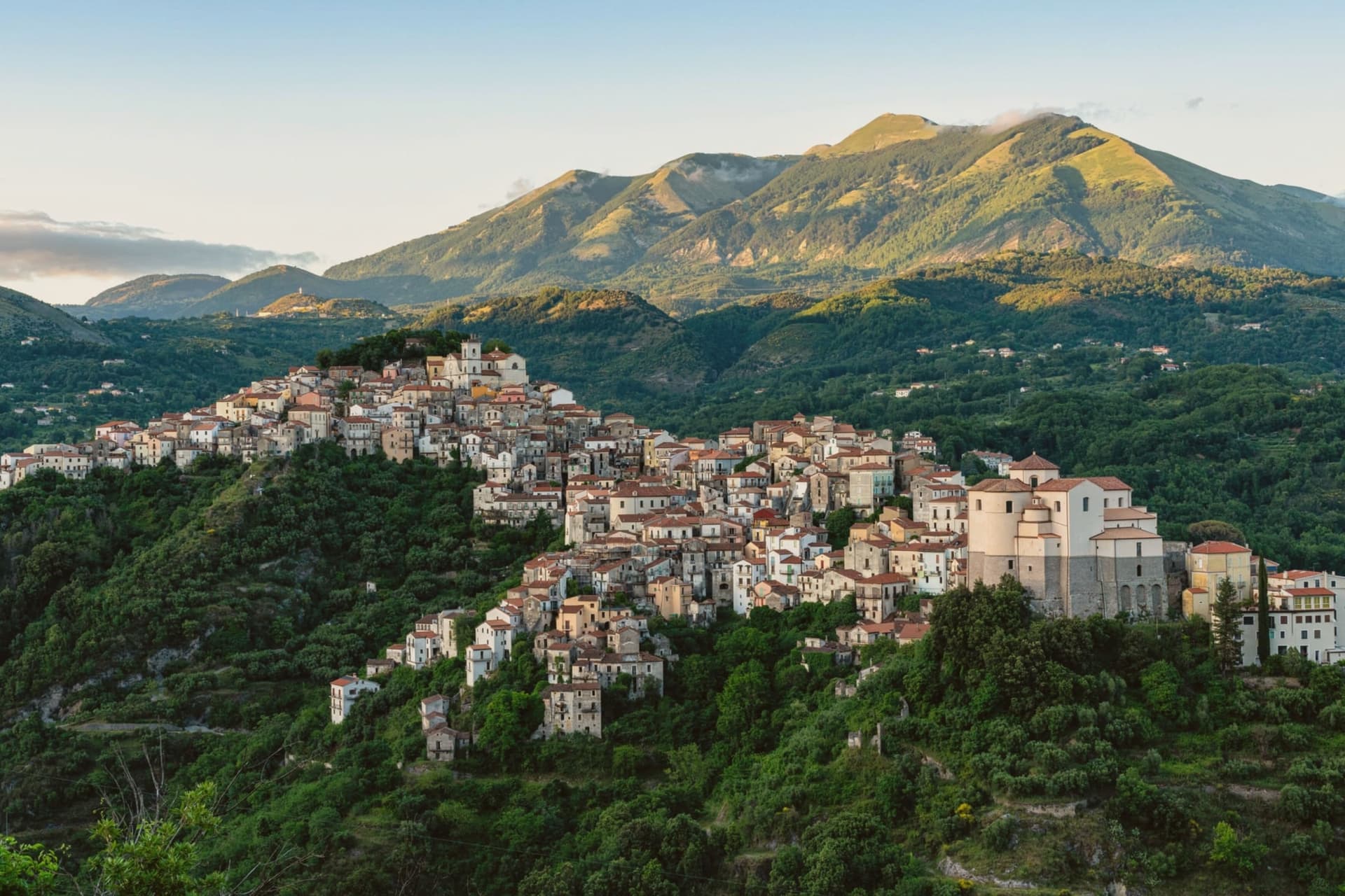
Byzantine monks established the settlement between the ninth and tenth centuries on a defensive promontory between the Noce and Cogliandrino streams, the position that gives the valley its name. The town divides cleanly in two: the old village climbs around the castle ruins and the parish church, while the modern town spreads from the tree-lined Piano square below, the wooded slope between them marking the line where medieval stone gives way to nineteenth-century planning.
The church holds the tomb local tradition assigns to the Florentine model of Leonardo's Mona Lisa, said to have died here in 1506. Lake Sirino at 788 meters and the glacial Lake Laudemio at 1,525 meters both lie within twenty minutes of the town, under the same mountain wall that shelters it.
The town's two halves and the legend it keeps in spite of the evidence against it both point to the same trait: a place defined by what it holds onto, geographically and otherwise.
The village sits at 666 metres.
What to see in Lagonegro
- Chiesa di San Nicola. Tenth-century church in the old village, holds the tomb local tradition assigns to Lisa del Giocondo and two sculptures by Altobello Persio.
- Castello feudale. Ruins of the feudal fortress on the promontory of the old village, the original Byzantine and later Norman defensive anchor of the Valle del Noce.
- Borgo antico. Stone-built medieval core climbing around the castle ruins, separated by the wooded slope from the modern town below.
How to get to Lagonegro
There is a railway station in the town, so you can arrive without a car and never need one while you are here. Salerno is roughly 85 minutes away by road.
Our tip
May through October is the walking and lake season. The Laudemio reserve opens once snow clears from the upper Sirino, usually by late May, and the Cammino di San Nilo passes through Lagonegro for pilgrims working southward. July and August are warm in the lower town but the upper village holds shade; weekends fill with Salerno families on the Sirino trails. Festa lagane e fagioli falls in August.
Teggiano
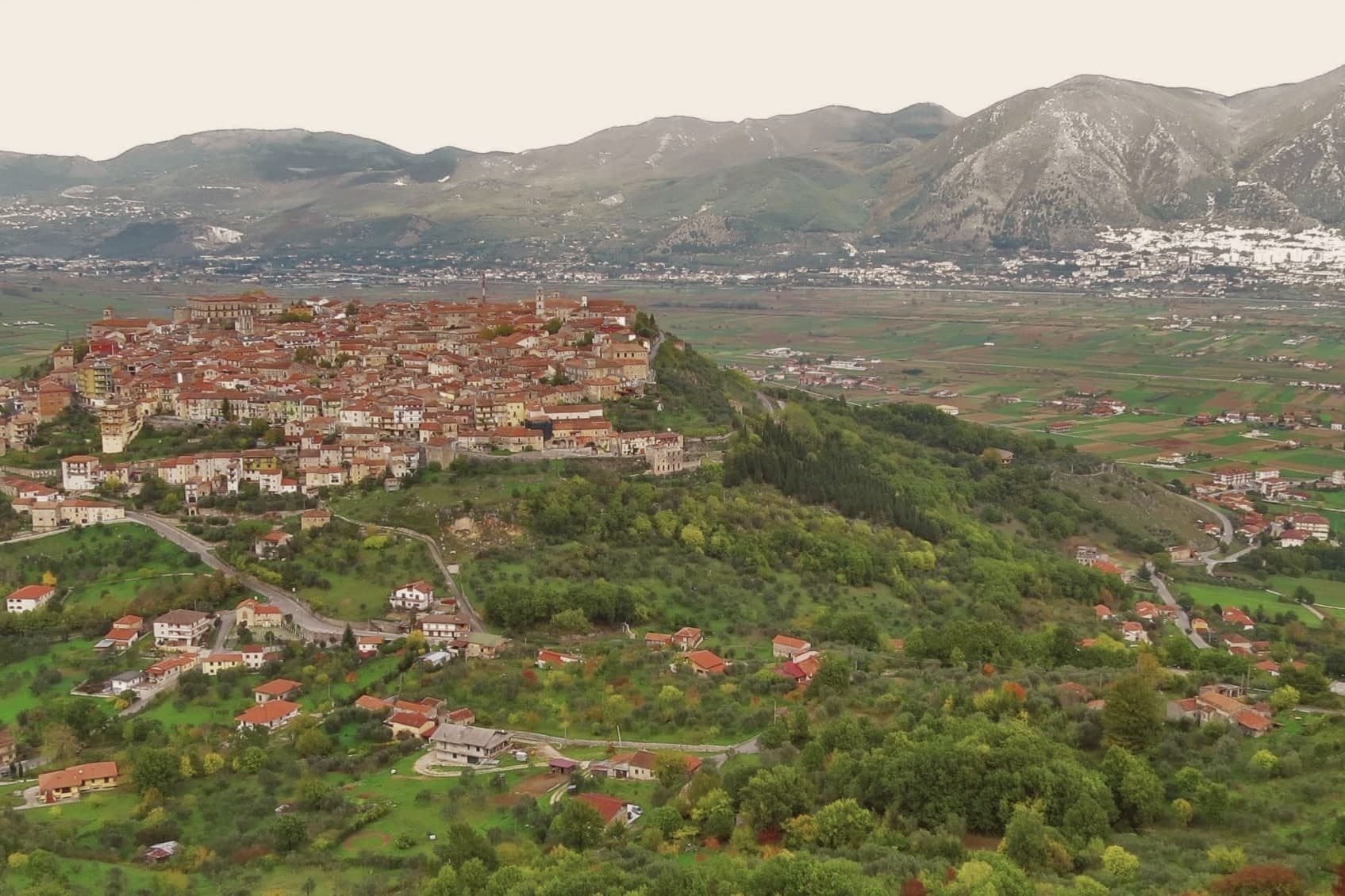
Why visit Teggiano
The Lucanians built Tegianum here in the fourth century BC on an isolated hill; it became a Roman municipium and later took Gracchan and Neronian colonists. The valley below still carries a version of the town's old name, Diano, a naming that runs the other direction from what a visitor might expect: the town gave the valley its identity, not the reverse.
The Sanseverino ruled from 1239 to 1556, long enough to fold castle, cathedral and the wider Vallo di Diano into a single stronghold of the Kingdom of Naples. Three thousand residents now live within walls that also hold thirteen churches, the upper town rising on the ridge to the castle while the lower walls still show the Roman-Lucanian foundations beneath the medieval fabric.
The valley stretches out below, flat and wide against the hill town's verticality. What the ridge position and the family's three-century hold add up to is a town built to watch its own valley, and named for it before the valley returned the favor.
The village sits at 635 metres.
What to see in Teggiano
- Castello Macchiaroli. Partly open as an event venue, the castle keeps the Sanseverino name alive in its rooms even though a different family has held it for a century.
- Cattedrale di Santa Maria Maggiore. The stone pulpit stands inside alongside the tomb of Enrico Sanseverino, a family record carved into the building itself.
- Centro storico. Walled medieval town with thirteen churches and Roman-Lucanian foundations visible in the lower walls, climbing the ridge to the castle.
How to get to Teggiano
Salerno is roughly 70 minutes away by road.
Our tip
May through October is the working window for Teggiano. The 635-meter elevation keeps July and August below the punishing temperatures of the valleys, though afternoons can still cross thirty degrees, and the centro storico shuts down between two and six. The Tavola di Principessa Costanza falls in mid-August and brings the streets back to life for several days.
More from Anywhere Italy
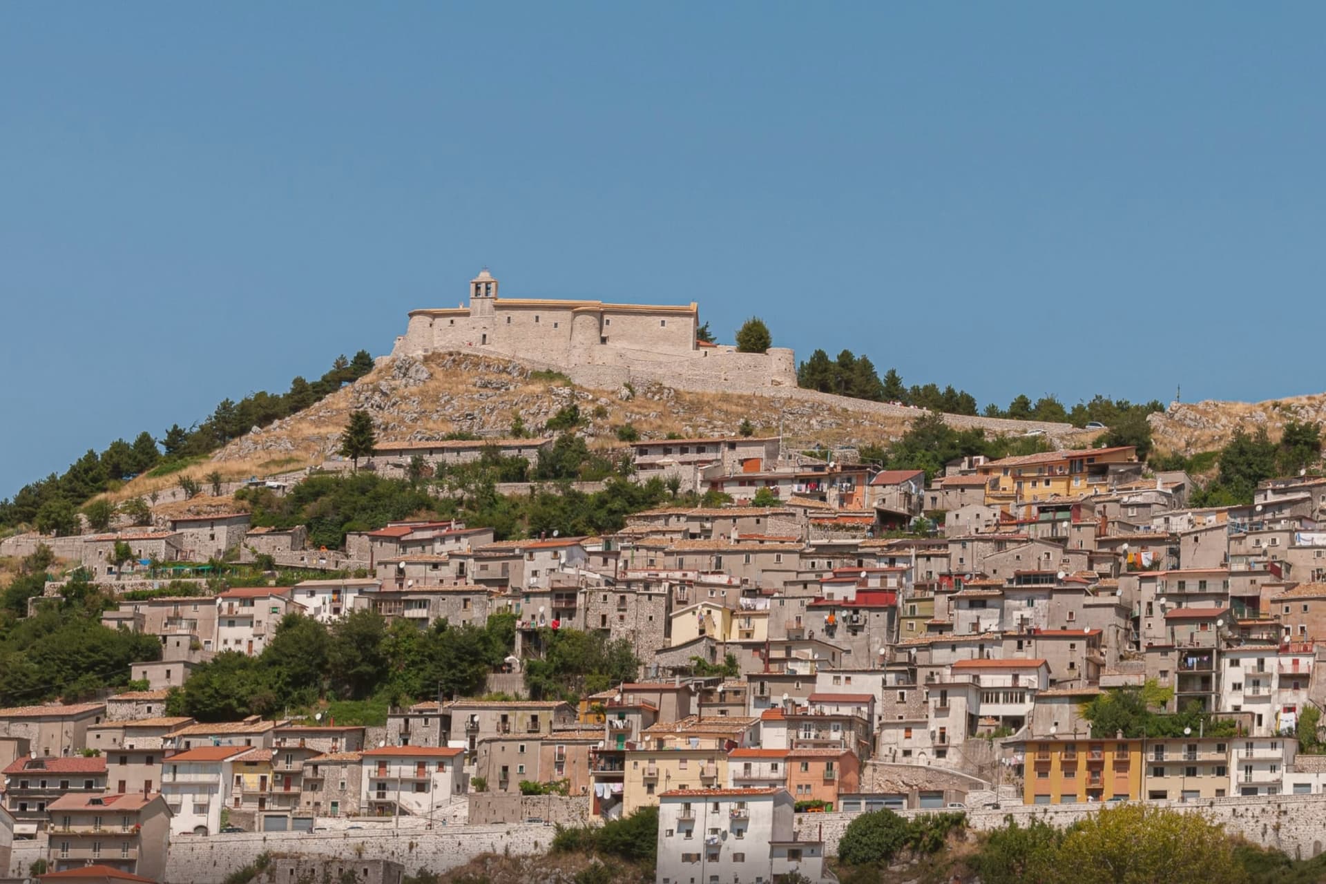 The best small mountain towns in Campania
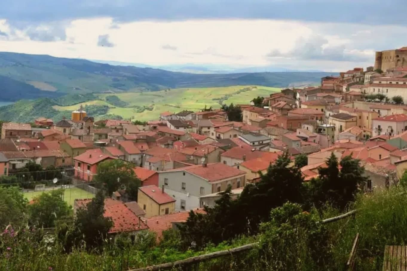 The prettiest villages in the province of Avellino
- The best cheese towns within 90 minutes of Salerno
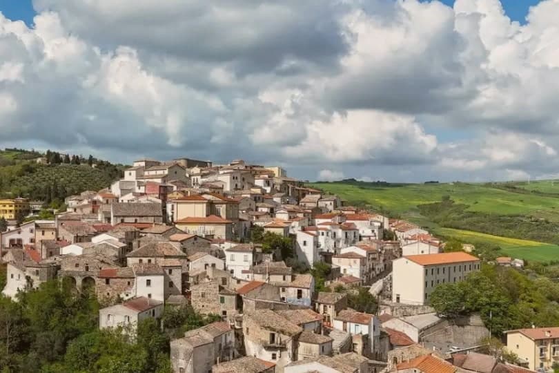 The best olive oil towns within two hours of Salerno
 The prettiest villages inside a nature park within 90 minutes of Salerno
- The 8 best towns inside a national park in the province of Potenza