
Sicily · Catania
Nicolosi
The southern gateway to Etna at 698 meters, twice destroyed by the 1669 eruption.
- Best time
- May–Oct
- By car
- 29 min from Catania
- Population
- 7,594

Known for
PORTA DELL'ETNA
Southern gateway to the volcano, base camp for the Funivia dell'Etna at Rifugio Sapienza and the largest concentration of Etna guides in Sicily.
MONTI ROSSI
Two-hundred-meter scoria cones above the town, formed by the 1669 eruption that buried part of Nicolosi and pushed lava all the way to Catania.
CITTASLOW
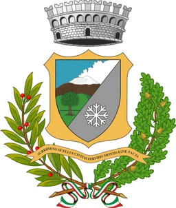
Cittaslow member commune with Città dell'Olio and Città del Pane labels, mountain bread, Etna honey and southern slope olive groves.
When to visit
Best · May–Oct
- J11°
- F13°
- M13°
- A16°
- M21°
- J27°
- J30°
- A29°
- S25°
- O21°
- N16°
- D13°
- Best
- Hot or crowded
- Quiet
- Mostly closed
Daytime averages, 2020–2024. Weather data by Open-Meteo.com.
The festa: Antonio di Padova, 13 June
Why come
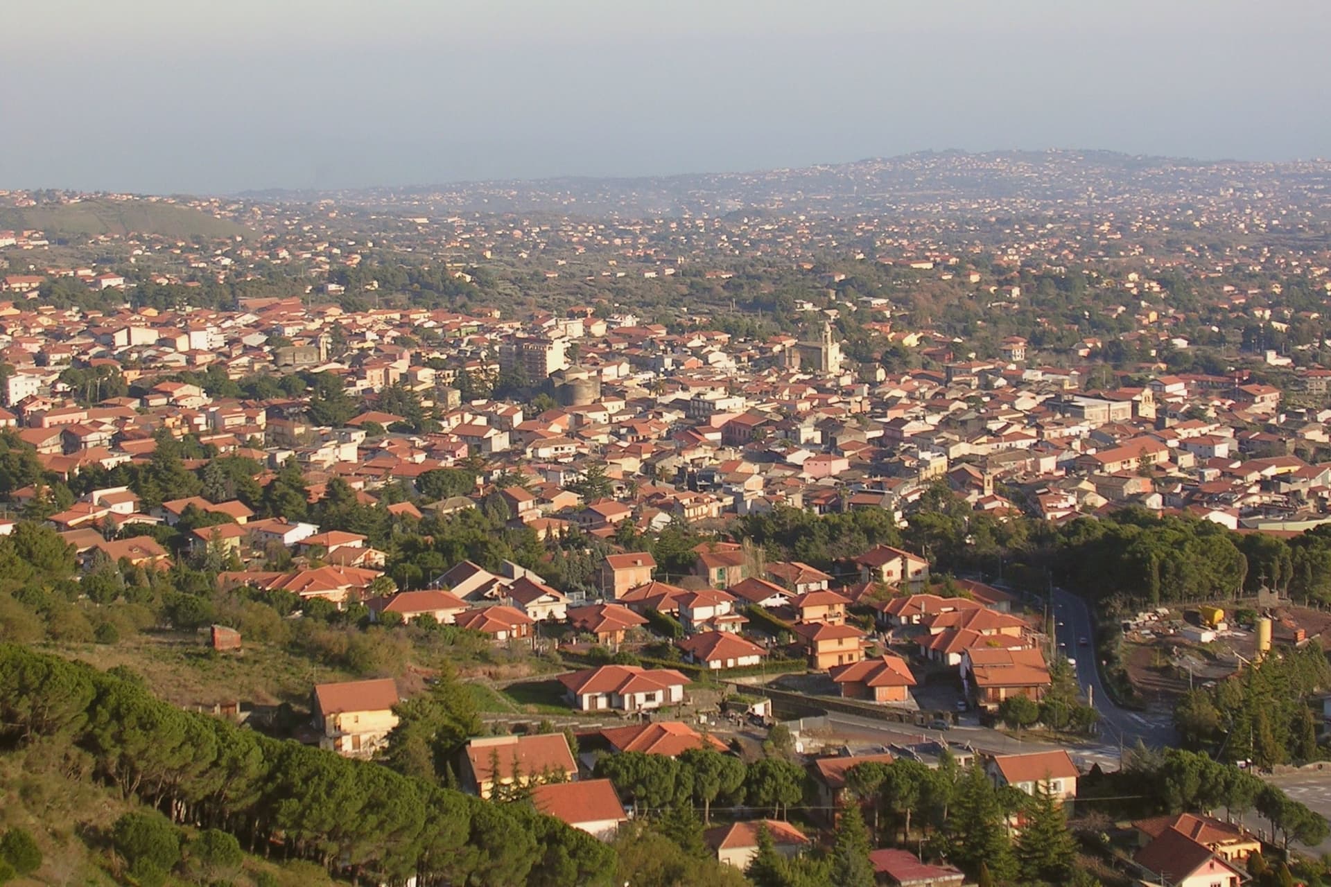
Nicolosi sits at 698 meters on the southern slope of Etna, twelve kilometers north of Catania. The town was founded in 1359 around the Benedictine monastery of San Nicolò l'Arena. In March 1669 a fissure opened above the town and Etna erupted for four months, lava burying part of the settlement and pushing on to Catania harbor. What remained was rebuilt around the church the flow had spared, and the cones left by that eruption, first called Monte della Ruina, later took their name from their color.
Above the rebuilt town the road climbs toward the volcano park and the cable car station, so that Nicolosi works as the point where the settled southern slope, its bread, honey and olive groves, gives way to the bare upper mountain. The town is where the ordinary, inhabited Etna ends and the crater country begins.
The Sunday letter
Nicolosi is on our list. Its letter is still to come.
We are writing about all 1,000 of these towns, one at a time, in a free letter every Sunday: the photo, the food, the festa. That is our mission. Sign up and you will be there when Nicolosi comes up. By Peter & Sophia, from Pietrasanta.
Read on
Nicolosi in our articles
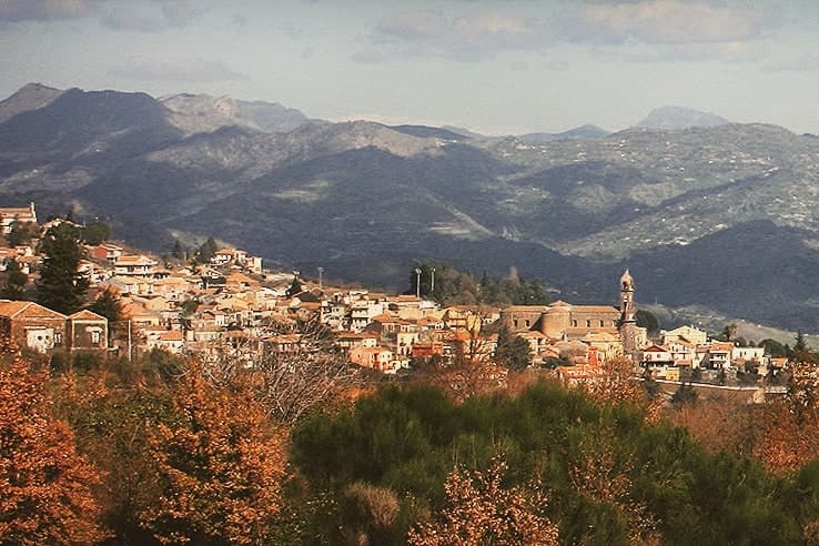 The best olive oil towns within 45 minutes of Catania6 towns, Nicolosi among them.
 The best towns known for what they grow within 45 minutes of Catania6 towns, Nicolosi among them.
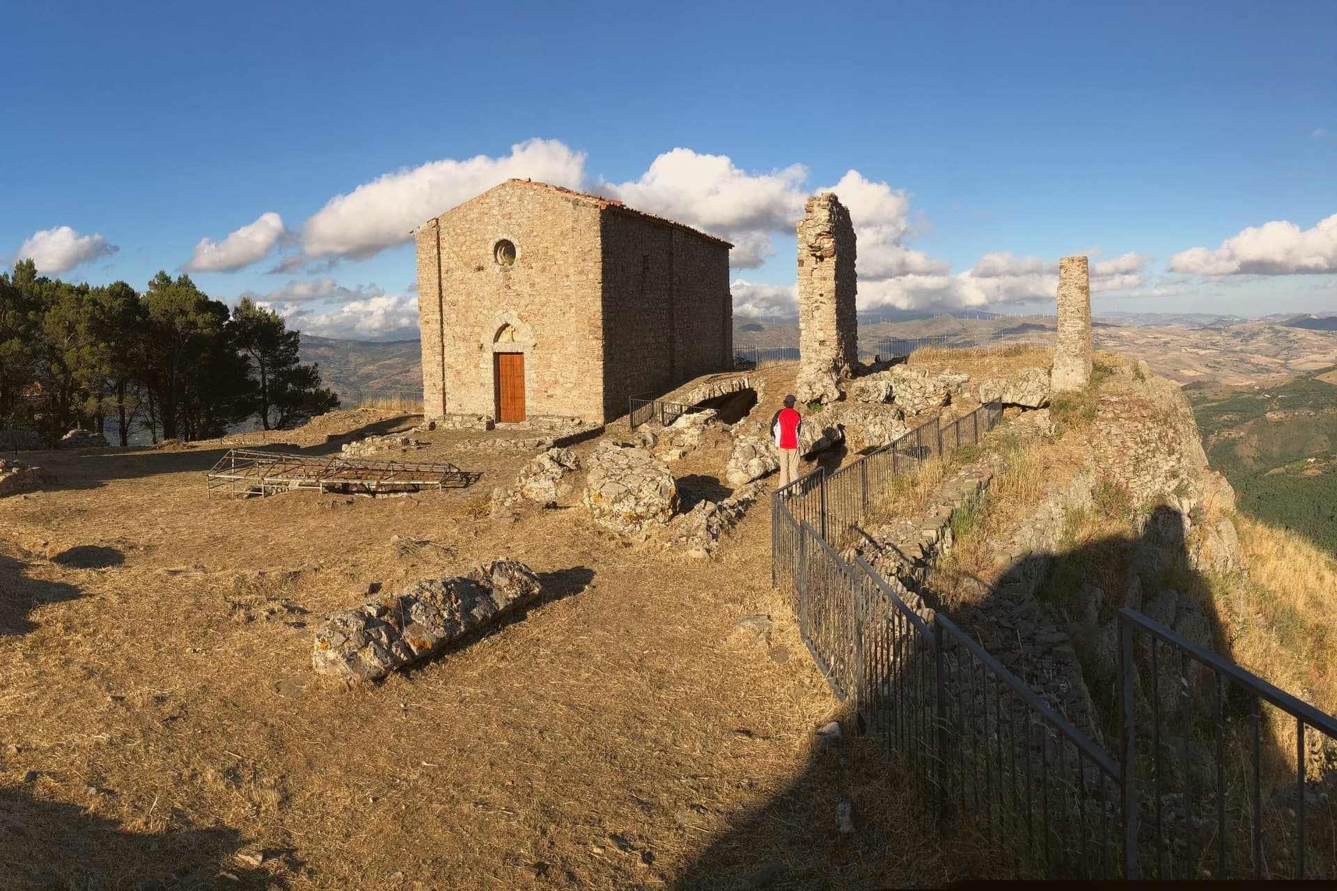 The best mountain towns inside a nature park in Sicilia8 towns, Nicolosi among them.
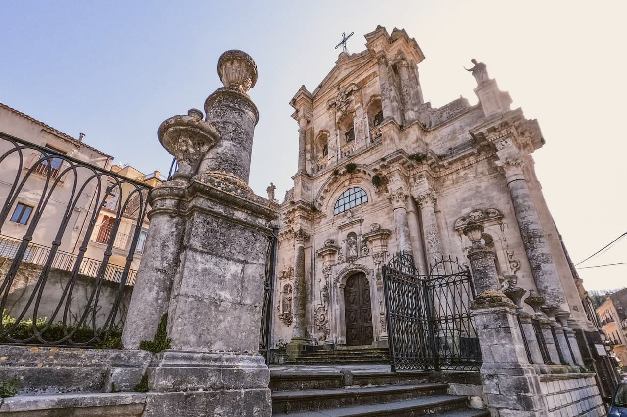 The best olive oil towns in Sicilia9 towns, Nicolosi among them.
How to get there
From Catania (CTA), about 39 minutes by car.
By car from the centre of Palermo 3 hours.
Coming by train into Catania Centrale? Nicolosi is about 30 minutes away by road.
What to see
Monti Rossi
Twin cones standing over the town, walkable on paths that circle the craters, the ground still dark scoria underfoot.
Funivia dell'Etna a Rifugio Sapienza
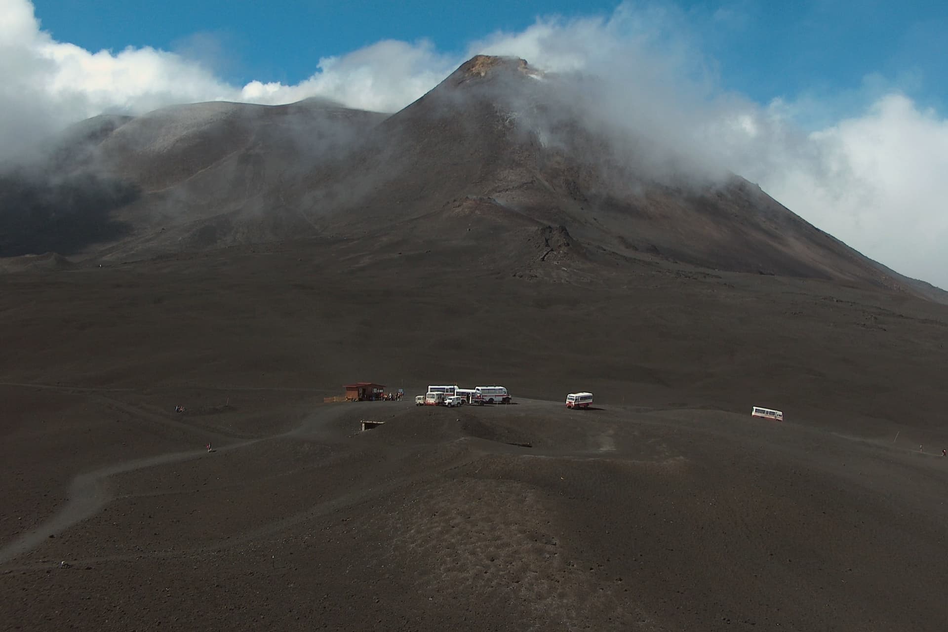
Cable car rising to 2,500 meters, the station reached twenty minutes uphill from Nicolosi and marking the start of the southern ascent on foot beyond the lift.
Chiesa di Santa Maria delle Grazie
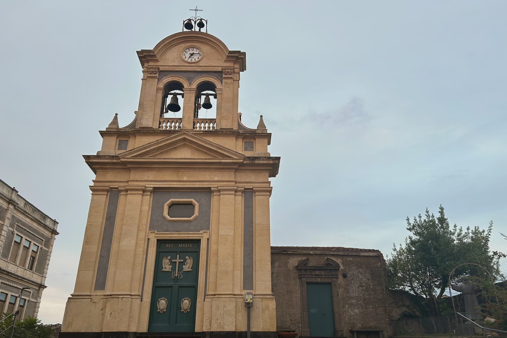
The church the lava did not reach, standing at the center of the rebuilt town, its fabric showing the later repairs made after further seismic damage.
Museo Vulcanologico dell'Etna
Civic museum on the road to the cable car, holding eruption photographs, lava samples and seismograph readings from the southern Etna stations.
Parco dell'Etna
Regional and UNESCO-listed park surrounding the town, with the Schiena dell'Asino ridge and access to the south crater trails from Nicolosi north.
The slow-trip planner
Building a trip? Find where Nicolosi fits in a slow Italy circuit.
Answer five questions. We will shape a geographically coherent slow trip from the 1,000 Italian towns most travelers skip. Yours to save and share.
Living here
- Population 7,594
- Remotei
- Pharmacy in town
- High school within a 30-minute drive
- Nearest airport Catania, 39 min drive
- Regional capital Palermo, 2 h 59 min drive
Common questions
- What is Nicolosi known for?
- Nicolosi is the southern gateway to Etna at 698 meters, twice destroyed by the 1669 eruption.
- Where is Nicolosi?
- Nicolosi is a comune in the province of Catania, in Sicily.
- What is the nearest airport to Nicolosi?
- Catania (CTA), about 39 minutes by car.
- How long is the drive from Palermo to Nicolosi?
- About 3 hours by car.
- When is the best time to visit Nicolosi?
- Best in May–Oct. July is the warmest month, averaging 30 degrees, and September the wettest, with about 17 rain days.
- Is there a sagra or a festival in Nicolosi?
- The town keeps its patron saint's day: Antonio di Padova, 13 June.
- Which other towns are like Nicolosi?
- Teggiano, Clusone and Padula.
- How many people live in Nicolosi?
- 7,594 at the 2023 count.
Tags & datadesignations · numbers · sources
The numbers
- Elevation: 698 m
- Population: 7,594
- Surface area: 42.65 km²
These figures were compiled from public directories: ISTAT, OpenStreetMap and Wikidata, and from the official listings of the guides named on this page. Town details change; verify with official sources before you travel.
Similar
Towns like Nicolosi
Teggiano
Province: Salerno
both mountain-valley towns · both between 3,000 and 10,000 people
Clusone
Province: Bergamo
both mountain-valley towns · both between 3,000 and 10,000 people
Padula
Province: Salerno
both mountain-valley towns · both between 3,000 and 10,000 people
Lagonegro
Province: Potenza
both mountain-valley towns · both between 3,000 and 10,000 people
Morano Calabro
Province: Cosenza
both mountain-valley towns · both between 3,000 and 10,000 people
Sterzing
Province: Bolzano
both mountain-valley towns · both between 3,000 and 10,000 people
🐌 Cittaslow
More Cittaslow towns
Città Sant'Angelo
Province: Pescara
A hilltop borgo at 320 meters between the Vestina hills and the Adriatic, named for the Archangel and known since 1352 as a Collegiata seat.
Controguerra
Province: Teramo
A 267-meter hill village whose name is legal shorthand for a small Montepulciano and Trebbiano-Passerina DOC.
Guardiagrele
Province: Chieti
The 576-meter terrazza d'Abruzzo on the Majella's foothills, hometown of fifteenth-century goldsmith Nicola da Guardiagrele and seat of the Majella park.
Penne
Province: Pescara
The brick city at 438 meters between the Tavo and Fino, ancient capital of the Vestini, rebuilt after Allied bombing and awarded the Silver Medal of Civic Merit.
Pianella
Province: Pescara
A Cittaslow hill town at 236 meters between the Tavo and Pescara rivers, anchor of the Aprutino oil triangle and home of the dritta olive.