
Abruzzo · L'Aquila
Cappadocia
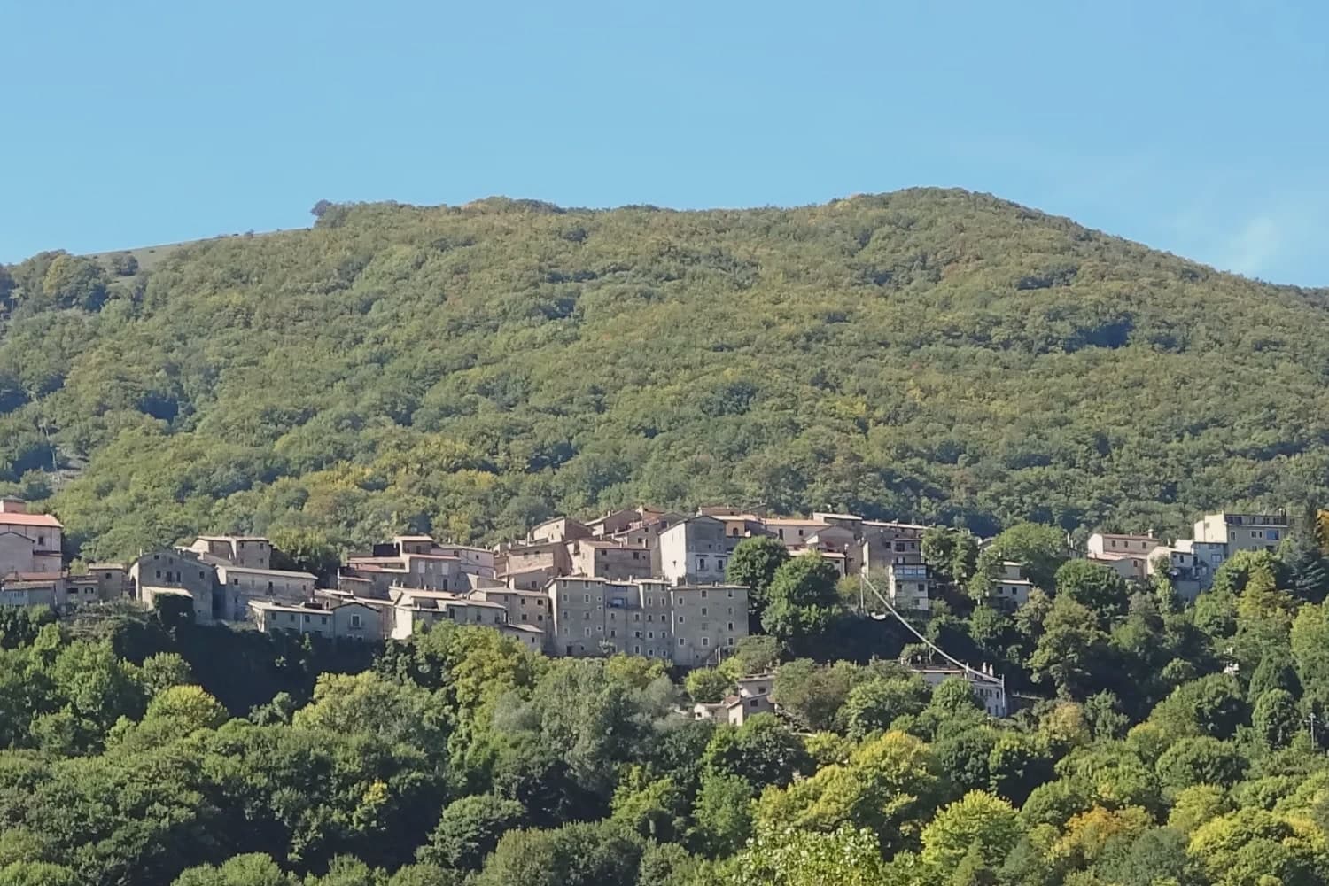
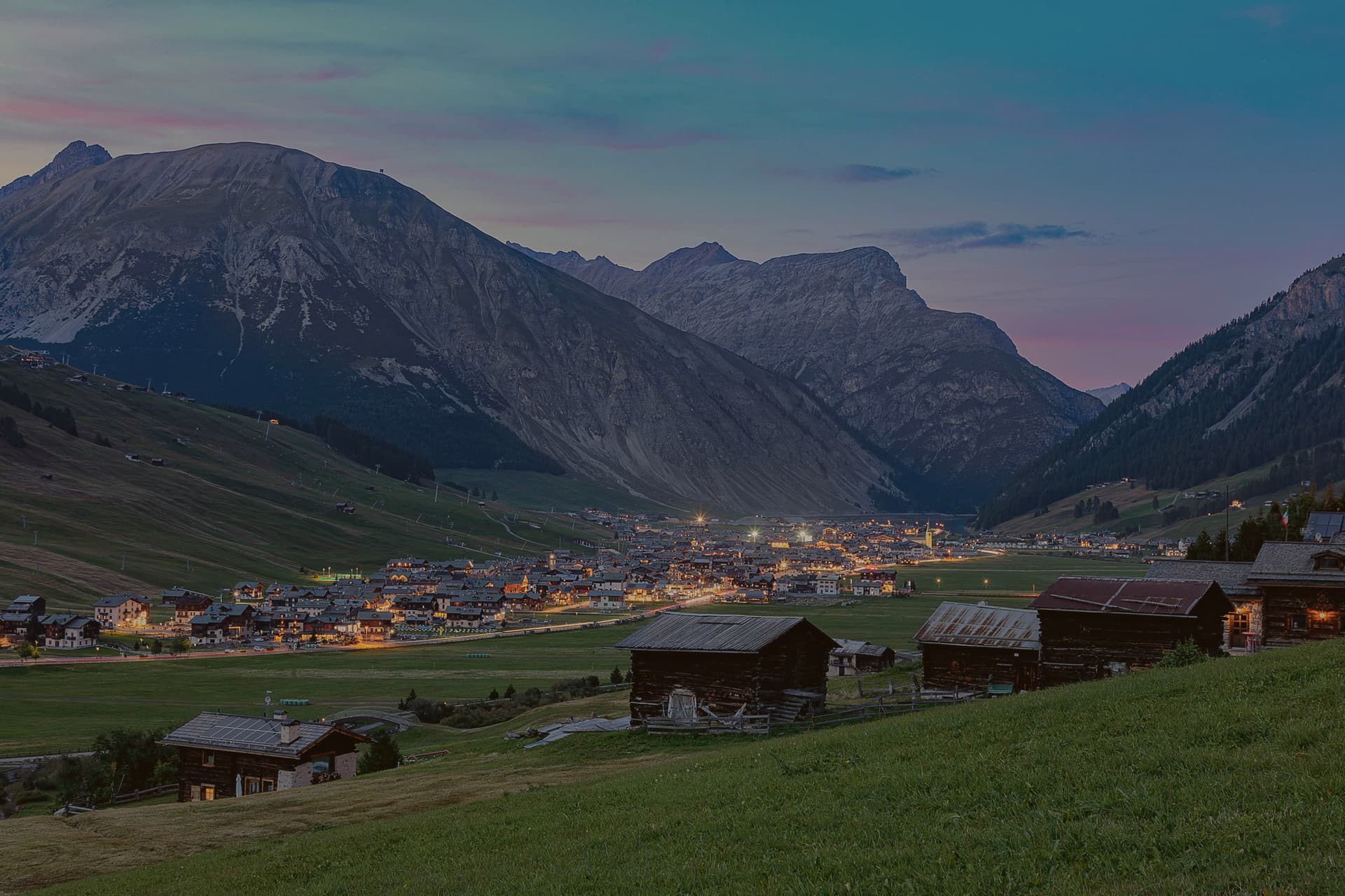
A 575-resident Marsican borgo at 1,102m in Abruzzo's western mountains, known for a cave system many mistake for the wrong country entirely.
- Best time
- May–Sep
- By car
- 2 h 20 min from Rome
- Population
- 575
Known for
GROTTE DI PIETRASECCA
Longest cave system in the central Apennines, ~5 km mapped, first explored in 1893. Città delle Grotte network member, guided tours since 1991.
BORGO AUTENTICO
Italian small-village quality mark for community life and authenticity in the Marsican mountains at 1,102m.
BYZANTINE NAME ORIGIN
Tradition: 7th-8th c AD Byzantine refugees from Anatolian Cappadocia brought the name when fleeing the Arab conquests.
MONTI SIMBRUINI GATEWAY
Immediate access to the Monti Simbruini Regional Park, Monte Calvo, the central Apennine trail network, Marsica plain views.
When to visit
Best · May–Sep
- J6°
- F9°
- M9°
- A12°
- M17°
- J22°
- J27°
- A26°
- S20°
- O16°
- N11°
- D7°
- Best
- Hot or crowded
- Quiet
- Mostly closed
Daytime averages, 2020–2024. Weather data by Open-Meteo.com.
The festa: Biagio di Sebaste, 3 February
Why come
The village sits in a karst-limestone valley in western Abruzzo, 32 km north of Avezzano on the SS5 toward Tagliacozzo, at 1,102m in the Marsican mountains. That valley geology is what produced the cave system: the Grotte di Pietrasecca, one of the most extensive in the central Apennines, first explored in 1893 and opened for public visits in 1991, its passages running roughly 5 km with three large chambers on the standard tour and ongoing speleological work in the sections beyond. Pietrasecca belongs to the Città delle Grotte, the Italian network of cave-tourism towns, and the cave accounts for most of the visitor traffic the village sees.
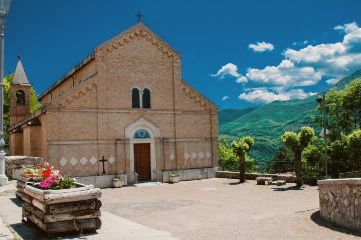
Above ground, the borgo itself is small and gets less attention than what lies beneath it: a settlement of stone houses around a 12th-century parish church with later restorations, partial medieval walls still standing, holding a Borgo Autentico designation for the kind of community life and continuity that mark is meant to recognize. To the east the Marsica plain opens toward Avezzano; to the west the Roveto valley is the route toward Sora and Frosinone. To the south, the regional park gives the village its hiking access, with the standard half-day summit reached directly from the settlement.
The name is a separate thread from the geography, tied instead to a tradition that Byzantine refugees fleeing the Arab conquests in the 7th-8th centuries AD carried the word from the Anatolian region of the same name when they settled here, a purely toponymic link with no rock-cut landscape or hot-air balloons attached to it.
Depopulation here has been steep and steady: 1,800 residents in 1951, 575 today, a pattern common to Marsican mountain villages generally. What holds the place together, in the end, is the coincidence of geology and a borrowed name. The caves draw people for what is underground, the name draws people confused about what country they are looking at, and the borgo, modest and largely unchanged, sits between the two doing the quieter work of actually being a village.
The Sunday letter
Cappadocia is on our list. Its letter is still to come.
We are writing about all 1,000 of these towns, one at a time, in a free letter every Sunday: the photo, the food, the festa. That is our mission. Sign up and you will be there when Cappadocia comes up. By Peter & Sophia, from Pietrasanta.
Read on
Cappadocia in our articles

How to get there
From Rome (FCO), about 3 hours by car.
Naples / Salerno (NAP) is about 3h 21m away.
By car from the centre of Pescara 2h 38m or Naples 3h 25m.
What to see
Grotte di Pietrasecca
Three large chambers on the 90-minute guided tour: Sala del Tempio, Sala del Drago, Sala del Lago. Active speleological exploration continues in the deeper sections beyond the mapped route.
Centro storico + Chiesa di San Biagio
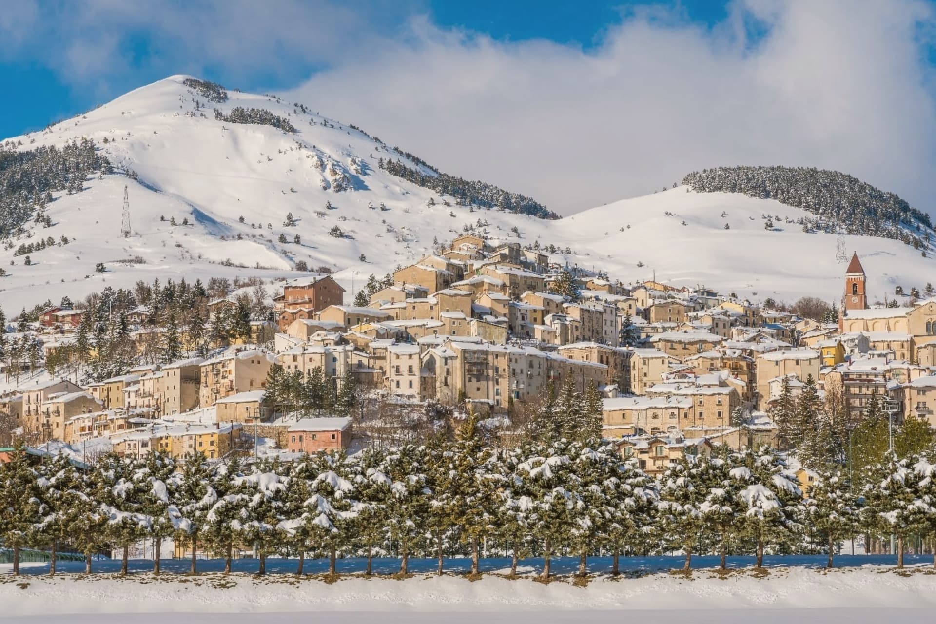
Quietly handsome medieval mountain settlement at 1,102m. Stone houses, the 12th-century Chiesa di San Biagio with later restorations, partial medieval walls.
Monti Simbruini + Monte Calvo
Monte Calvo, at 1,500m, is the standard half-day summit from the village, reached directly from the settlement into the regional park's trail network.
Byzantine refugee toponym
The link to the original Anatolian region is purely a matter of the name traveling with the refugees who settled here. No hot-air balloons, no rock-cut landscape: just the word itself, carried over centuries.
Marsican mountain kitchen
Pasta alla mugnaia (hand-rolled durum strings), arrosticini (castrato lamb skewers), pecorino di Capracotta, Cesanese del Piglio red.
The slow-trip planner
Building a trip? Find where Cappadocia fits in a slow Italy circuit.
Answer five questions. We will shape a geographically coherent slow trip from the 1,000 Italian towns most travelers skip. Yours to save and share.
Living here
- Population 575
- In-betweeni
- Pharmacy in town
- Nearest high school over ~30 minutes away
- Nearest airport Rome, 3 h 1 min drive
- Regional capital L'Aquila, 1 h 56 min drive
Common questions
- What is Cappadocia known for?
- Cappadocia is a 575-resident Marsican borgo at 1,102m in Abruzzo's western mountains, known for a cave system many mistake for the wrong country entirely.
- Where is Cappadocia?
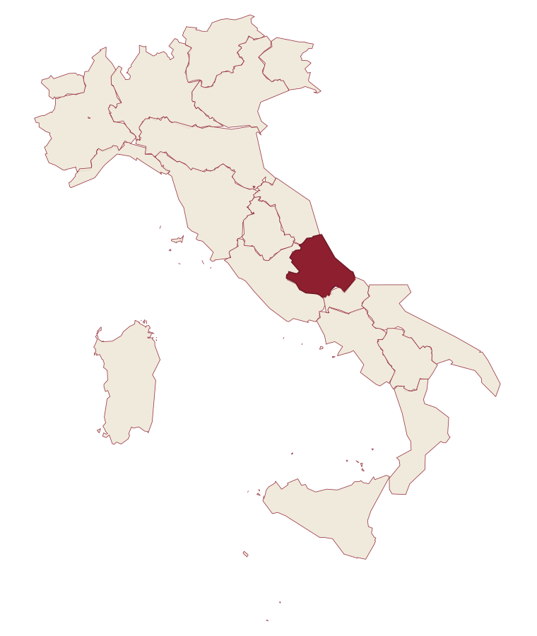
- Cappadocia is a comune in the province of L'Aquila, in Abruzzo, at 1102 meters above sea level.
- What is the nearest airport to Cappadocia?
- Rome (FCO), about 3 hours by car.
- How long is the drive from Pescara to Cappadocia?
- About 2h 38m by car.
- When is the best time to visit Cappadocia?
- Best in May–Sep. July is the warmest month, averaging 27 degrees, and May the wettest, with about 16 rain days.
- Is there a sagra or a festival in Cappadocia?
- The town keeps its patron saint's day: Biagio di Sebaste, 3 February.
- Which other towns are like Cappadocia?
- Castelvecchio Calvisio, Santo Stefano di Sessanio and Pietracamela.
- How many people live in Cappadocia?
- 575 at the 2023 count.
Tags & datadesignations · numbers · sources
Recognised as
The numbers
- Elevation: 1102 m
- Population: 575
- Surface area: 68.58 km²
These figures were compiled from public directories: ISTAT, OpenStreetMap and Wikidata, and from the official listings of the guides named on this page. Town details change; verify with official sources before you travel.
Similar
Towns like Cappadocia
Castelvecchio Calvisio
Province: L'Aquila
both under 1,000 people · both mountain towns above 1,000 metres
Santo Stefano di Sessanio
Province: L'Aquila
both under 1,000 people · both mountain towns above 1,000 metres
Pietracamela
Province: Teramo
both under 1,000 people · both mountain towns above 1,000 metres
Calascio
Province: L'Aquila
both under 1,000 people · both mountain towns above 1,000 metres
Fenestrelle
Province: Torino
both under 1,000 people · both mountain towns above 1,000 metres
Alagna Valsesia
Province: Vercelli
both under 1,000 people · both mountain towns above 1,000 metres
💎 Borghi Autentici
More Borghi Autentici towns in Abruzzo
Archi
Province: Chieti
A 492-meter rocky spur called the Terrazza sul Sangro, fief of del Balzo, Cantelmo, Colonna and Carafa, now Città del Tartufo and Città dell'Olio.
Balsorano
Province: L'Aquila
A pentagonal fortress above the Liri river that became a backdrop for 1970s Italian horror cinema.
Barrea
Province: L'Aquila
A 1,066-meter spur above an artificial lake at the heart of the Abruzzo National Park, with a Samnite necropolis and an 11th-century di Sangro castle.
Calascio
Province: L'Aquila
A village of 125 people under the highest castle in the Apennines, cast as the monk's refuge in Ladyhawke.
Campo di Giove
Province: L'Aquila
At 1,064 meters under the southwestern Maiella, the highest village in the park, named for a Roman temple to Jupiter.