
Lombardy · Bergamo
Castione della Presolana
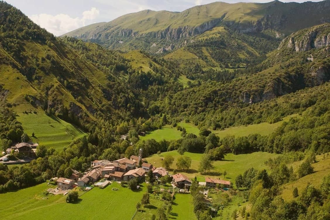
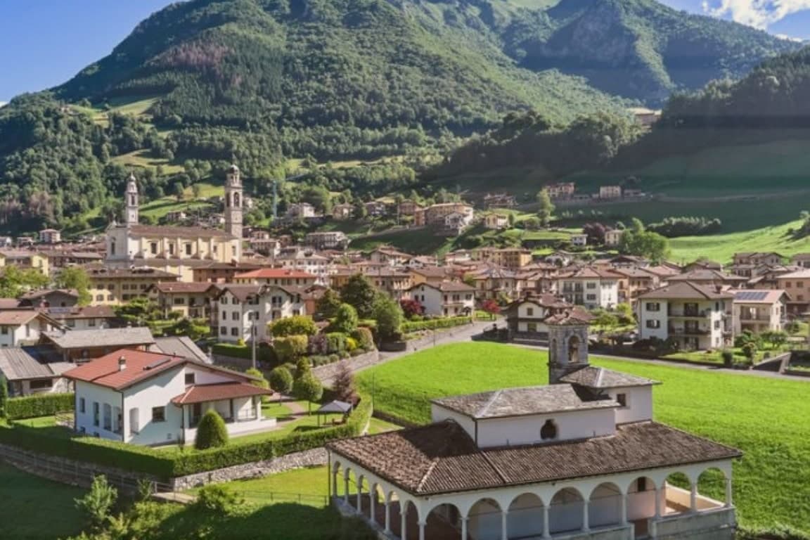
A high-valley commune at 870 meters under the limestone peak the Bergamasque call the Queen of the Orobie.
- Best time
- May–Oct
- By car
- 1 h 20 min from Brescia
- Population
- 3,313
Known for
REGINA DELLE OROBIE
Pizzo della Presolana at 2,521 m, the limestone peak that dominates every view from the commune.
BRATTO-DORGA
Twin summer hamlets at about 1,000 m, lined with Art Nouveau villas built for Bergamasco industrialists around 1900.
BANDIERA ARANCIONE
Touring Club Italiano quality mark for inland tourism, held for the conservation of Rusio and the Presolana environment.
When to visit
Best · May–Oct
- J6°
- F8°
- M9°
- A12°
- M16°
- J21°
- J23°
- A23°
- S19°
- O15°
- N10°
- D6°
- Best
- Hot or crowded
- Quiet
- Mostly closed
Daytime averages, 2020–2024. Weather data by Open-Meteo.com.
The festa: Alessandro di Bergamo, 26 August
Why come
The territory is broad, 42 square kilometres, and it climbs from the 780-metre Gera stream up through the pass at 1,297 metres to the summit ridge above. Tombs from the Neo-Eneolithic period have been recovered on the slopes, evidence of how long this ground has been worked and crossed.
Rusio still keeps its medieval agricultural layout, narrow streets and rural houses gathered around a small church with a wooden altar, a lower and older counterpart to the hamlets higher on the mountain. Bratto and Dorga, at roughly 1,000 metres, took the opposite path: built up as summer resorts at the start of the 20th century, their streets still carry the villas that Bergamasco industrialists put up for their own summer use. The commune holds the Bandiera Arancione of the Touring Club Italiano, the inland equivalent of a Bandiera Blu, awarded for keeping both the peasant village below and the mountain environment above intact. Together the two settlements show a single territory read in two directions: one preserved because it was left alone, the other because it was deliberately built for leisure.
The Sunday letter
Castione della Presolana is on our list. Its letter is still to come.
We are writing about all 1,000 of these towns, one at a time, in a free letter every Sunday: the photo, the food, the festa. That is our mission. Sign up and you will be there when Castione della Presolana comes up. By Peter & Sophia, from Pietrasanta.
Read on
Castione della Presolana in our articles
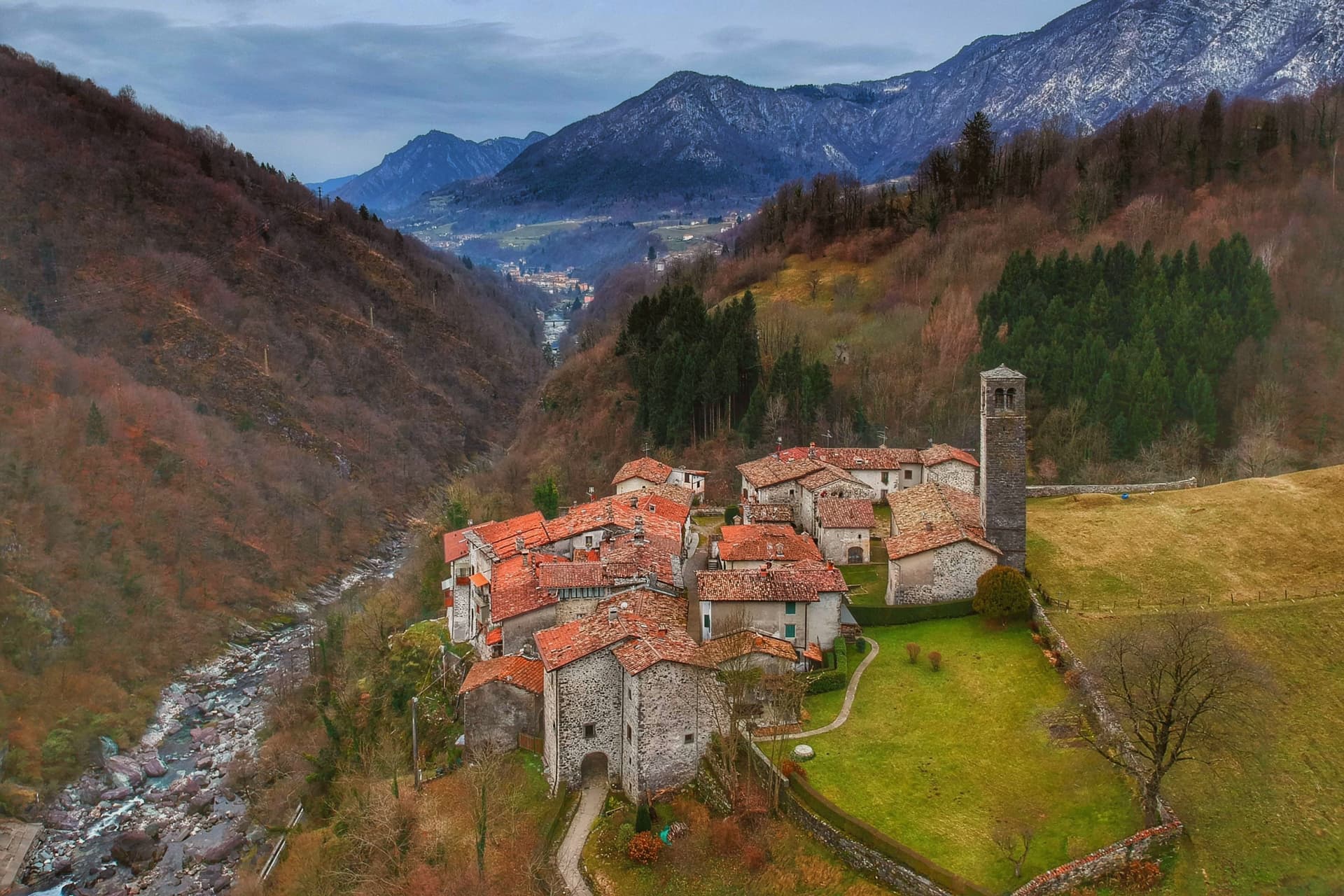
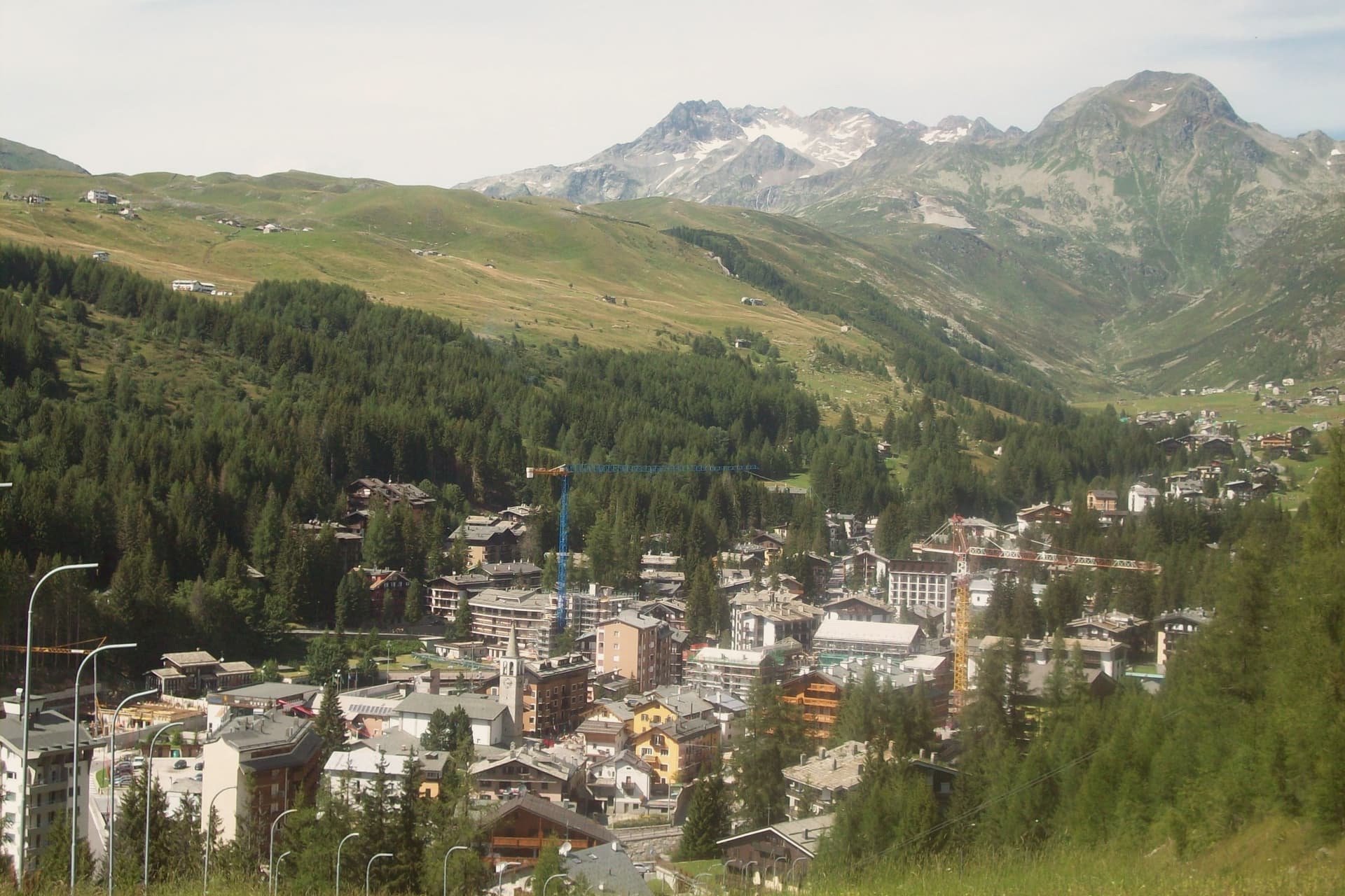 The best hidden ski towns in Lombardy6 towns, Castione della Presolana among them.
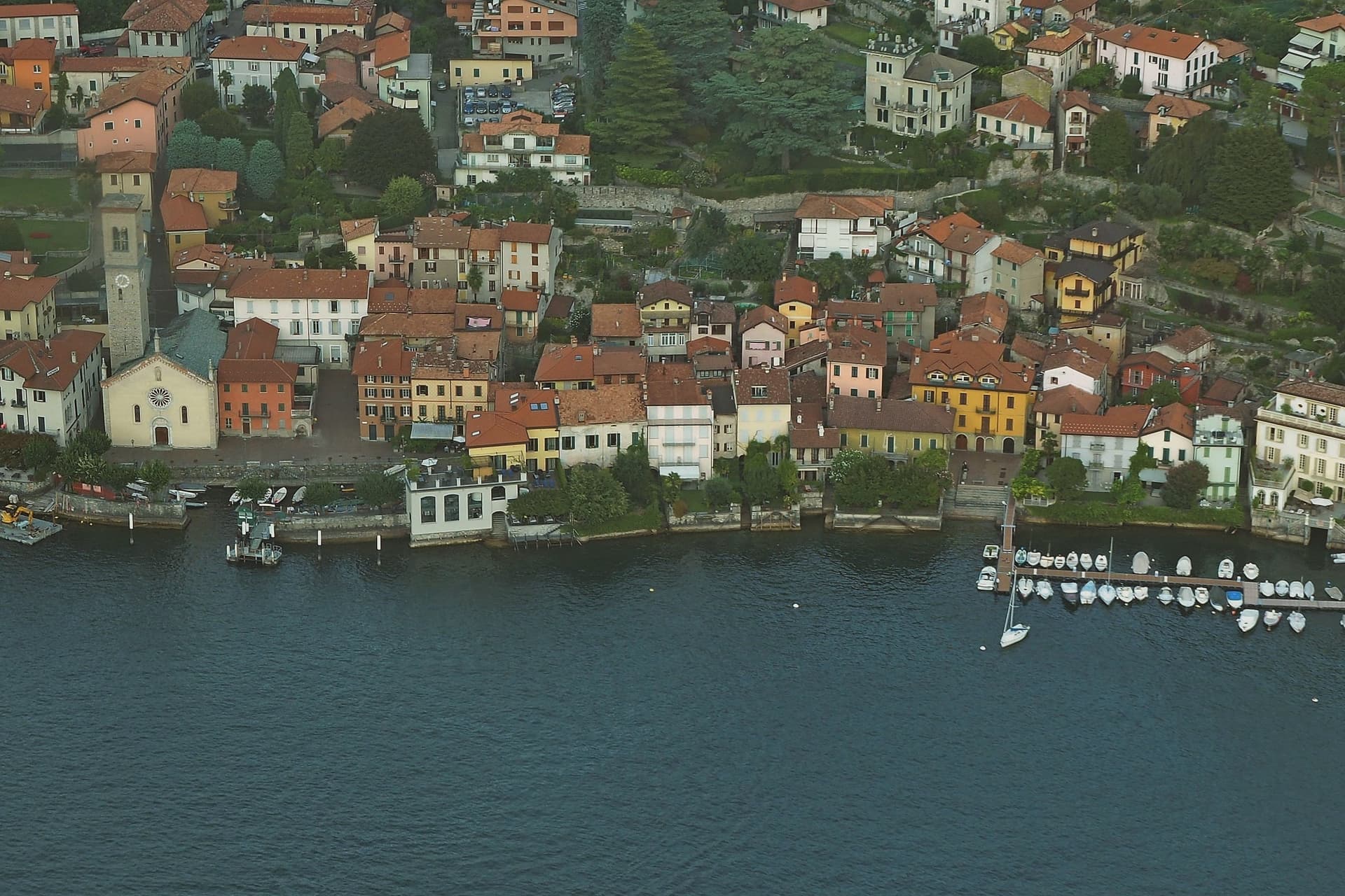
 The best mountain towns within two hours of Milan6 towns, Castione della Presolana among them.
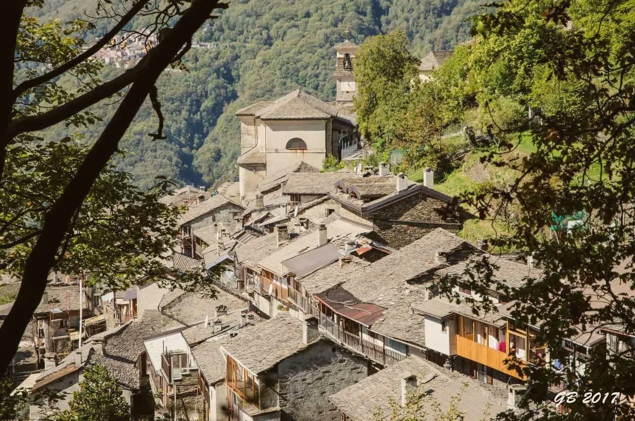
 The 8 best small towns worth staying overnight in Lombardia8 towns, Castione della Presolana among them.
 The best high-altitude villages in Lombardia8 towns, Castione della Presolana among them.
How to get there
From Milan (BGY), about 54 minutes by car.
Verona (VRN) is about 2 hours away.
By car from the centre of Brescia 1h 20m.
Coming by train into Bergamo? Castione della Presolana is about 51 minutes away by road.
What to see
Pizzo della Presolana
Dolomite-type limestone gives the southern face its sheer walls and climbing routes, the same rock mass that stands over the whole commune.
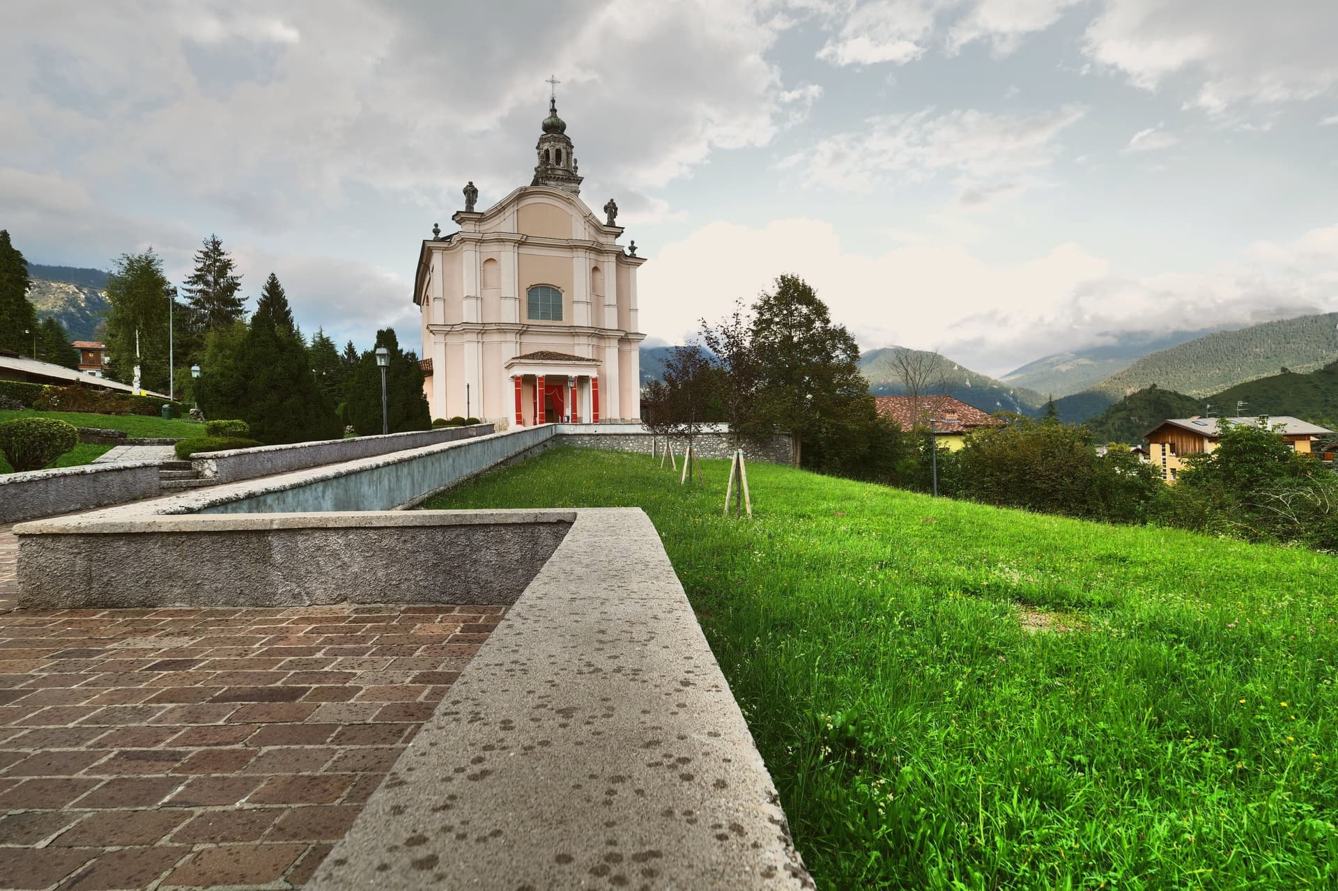
Chiesa di Sant'Alessandro
Parish church in the historic centre, with a marble altar carved with figurative sculptures.
Chiesa di San Rocco
Smaller village church holding fragments of ancient frescoes.
Rusio
Surviving example of peasant architecture, an agricultural nucleus of narrow streets and rural houses around the small Chiesa di San Giacomo.
Bratto and Dorga
Streets still lined with the Art Nouveau villas raised for summer guests, the built record of the hamlets' resort years.
Passo della Presolana
1,297-metre pass between Valle Seriana and Valle di Scalve, the gateway road to the Presolana ski slopes and trailheads.
The slow-trip planner
Building a trip? Find where Castione della Presolana fits in a slow Italy circuit.
Answer five questions. We will shape a geographically coherent slow trip from the 1,000 Italian towns most travelers skip. Yours to save and share.
We recommend
Where to stay
Not our picks, but places the guides put their name to: a Michelin star, a Gambero Rosso fork, a Slow Food snail, a Michelin Key for the hotels. Worth a table, a counter, or a night when you pass through.
Hotel Milano Alpen Resort & SpaHotel
Hotel Milano Alpen Resort & Spa has a place in the Michelin hotel guide to its name.
Living here
- Population 3,313
- Remotei
- Pharmacy in town
- High school within a 30-minute drive
- Nearest airport Milan, 54 min drive
- Regional capital Milano, 1 h 36 min drive
Common questions
- What is Castione della Presolana known for?
- Castione della Presolana is a high-valley commune at 870 meters under the limestone peak the Bergamasque call the Queen of the Orobie.
- Where is Castione della Presolana?
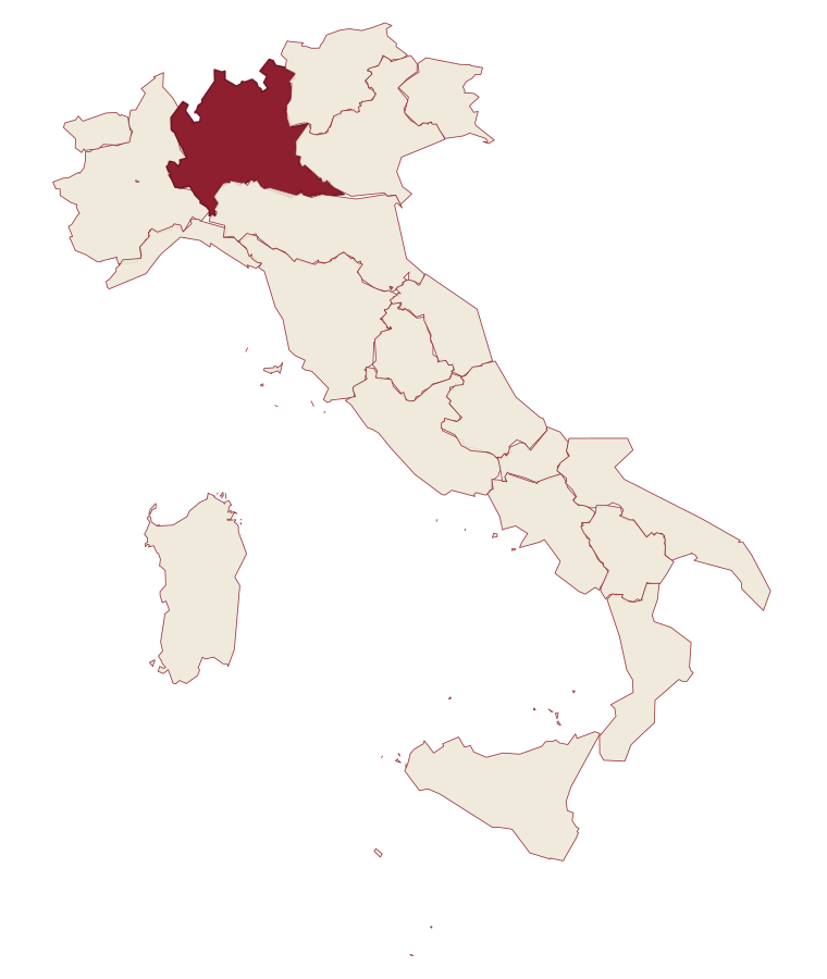
- Castione della Presolana is a comune in the province of Bergamo, in Lombardy.
- What is the nearest airport to Castione della Presolana?
- Milan (BGY), about 54 minutes by car.
- How long is the drive from Brescia to Castione della Presolana?
- About 1h 20m by car.
- When is the best time to visit Castione della Presolana?
- Best in May–Oct. July is the warmest month, averaging 23 degrees, and May the wettest, with about 21 rain days.
- Is there a sagra or a festival in Castione della Presolana?
- The town keeps its patron saint's day: Alessandro di Bergamo, 26 August.
- Which other towns are like Castione della Presolana?
- Clusone, Auronzo di Cadore and Viggiano.
- How many people live in Castione della Presolana?
- 3,313 at the 2023 count.
Tags & datadesignations · numbers · sources
Recognised as
The numbers
- Elevation: 870 m
- Population: 3,313
- Surface area: 42.5 km²
These figures were compiled from public directories: ISTAT, OpenStreetMap and Wikidata, and from the official listings of the guides named on this page. Town details change; verify with official sources before you travel.
Similar
Towns like Castione della Presolana
Clusone
Province: Bergamo
both mountain-valley towns · both between 3,000 and 10,000 people
Auronzo di Cadore
Province: Belluno
both mountain-valley towns · both between 3,000 and 10,000 people
Viggiano
Province: Potenza
both mountain-valley towns · both between 3,000 and 10,000 people
Pinzolo
Province: Trento
both mountain-valley towns · both between 3,000 and 10,000 people
Agnone
Province: Isernia
both mountain-valley towns · both between 3,000 and 10,000 people
Piancastagnaio
Province: Siena
both mountain-valley towns · both between 3,000 and 10,000 people
🟠 Bandiera Arancione
More Bandiera Arancione towns in Lombardy
Bellano
Province: Lecco
An eastern shore town where the Pioverna cut a gorge through fifteen million years of rock before reaching the water.
Bienno
Province: Brescia
A medieval ironworking village where water hammers driven by the Grigna stream have shaped wrought iron since the 1200s.
Chiavenna
Province: Sondrio
An Alpine town at 333 meters on the Mera river, the historical Splügen Pass crossroads named for its key position and its rock-cellar crotti.
Clusone
Province: Bergamo
At 648 meters, capital of the macabre fresco and the 1583 planetary clock above its civic tower.
Gardone Riviera
Province: Brescia
A western Garda lakeshore town whose hillside holds an estate turned into a monument to one man's self-image.