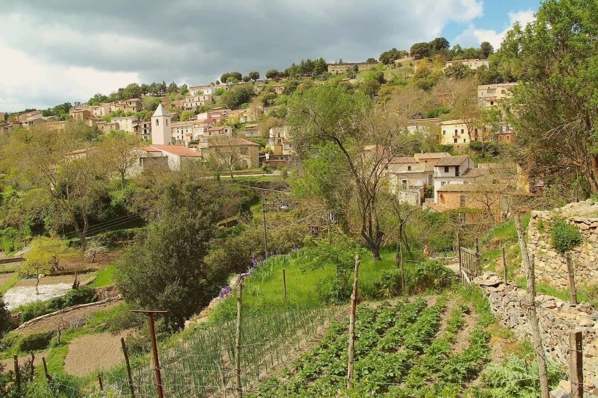
The best hill towns within two hours of Cagliari
Drive north from Cagliari and the Campidano plain gives out quickly, replaced by basalt tablelands, cork oak, and stone villages set on ridges where the wind does the work of air conditioning. The building material changes as you climb: dark volcanic trachyte in the Marmilla, pale limestone in the Ogliastra, walls thick enough to hold the cool of the night through August. Kitchens here run to porceddu turned over embers, culurgiones pinched shut like wheat ears, pecorino aged in cellars, and the dense red Cannonau that inland Sardinia drinks with everything. Late spring and October are the sane seasons, when the oaks are green, the roads are empty and the festivals still fill the piazzas.
Almost everyone who lands at Elmas heads for the water instead, south to Villasimius and the Costa Rei, or north up the coast road towards the Costa Smeralda, and in high summer the beach car parks fill before ten in the morning. The sand deserves its reputation, but the coastal strip is where every rental car, every hotel and every restaurant booking concentrates between June and September. It also gives a very partial reading of the island, since the coast was for centuries the dangerous edge and the population lived inland, on defensible high ground.
That inland Sardinia is still there, an hour or two from the airport, and it is where these towns are. They stand on plateaus, ridge ends and the flanks of limestone cliffs rather than on the plain, close enough to the sea for a day trip but built for a different life entirely: murals, bread ovens, shepherds' tracks, cellars, and views that run to the horizon in every direction. Fewer visitors make the turn uphill, which is the point of the list.
Of the 13 communes we have mapped in a 120-minute drive of Cagliari, 8 qualify as hill towns: each stands on high ground rather than on the plain. The smallest, Atzara, has 999 residents.
Two more lists worth reading alongside this one: The best towns you can reach by train within two hours of Cagliari and The best hidden towns you can reach by train in Sardegna.
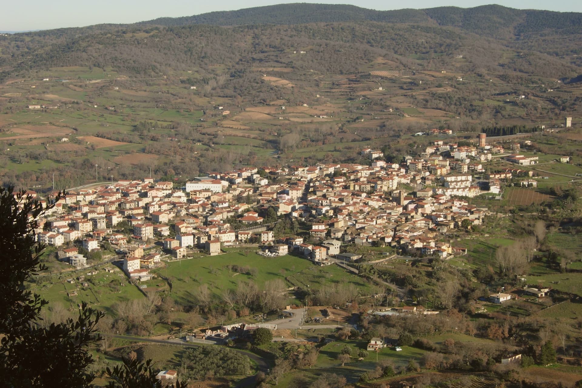
Atzara
Why visit Atzara
The Mandrolisai sub-region sits at the geographic centre of Sardinia, and Atzara occupies its western edge on the slopes that rise toward the Gennargentu, with the boundary of the national park running close to the eastern side of the commune. The village built its name first on wine: the volume and quality of the Mandrolisai blend was already established in the nineteenth century, before any painter arrived.
What changed at the turn of the twentieth century was who was looking at the place. Visiting artists found in the stone houses and the lanes of dark basalt and granite a ready subject for peasant scenes, and the school that grew out of their stay took the village's name.
The wine economy and the painting school are not separate stories so much as two outputs of the same setting: a farming village at altitude, built of local stone, whose ordinary life became the material for a documented artistic movement. What the town has kept, in its museum, its unchanged centro storico and its parish church, is the physical record of both.
What to see in Atzara
- Museo d'Arte Moderna e Contemporanea Antonio Ortiz Echagüe. Civic museum holding works by the Spanish costumbristas and the Sardinian painters of the Scuola di Atzara, including Antonio Ballero and Filippo Figari.
- Centro storico di Atzara. Stone houses of dark basalt and granite along narrow lanes, the model the painters used at the start of the twentieth century.
- Chiesa di Sant'Antioco Martire. Parish church in the heart of the village, built in Aragonese-Catalan late Gothic style with later modifications.
How to get to Atzara
Cagliari is roughly 103 minutes away by road.
Our tip
April through June and September through November are the dry, mild months at 553 metres, the right season for Mandrolisai cellar visits and walks toward the Gennargentu. July and August touch thirty degrees in the village and the vineyards switch to early-morning work. Winter is cold and quiet, with snow possible on the peaks above. I giorni del Mandrolisai falls in June.
Masullas
Why visit Masullas
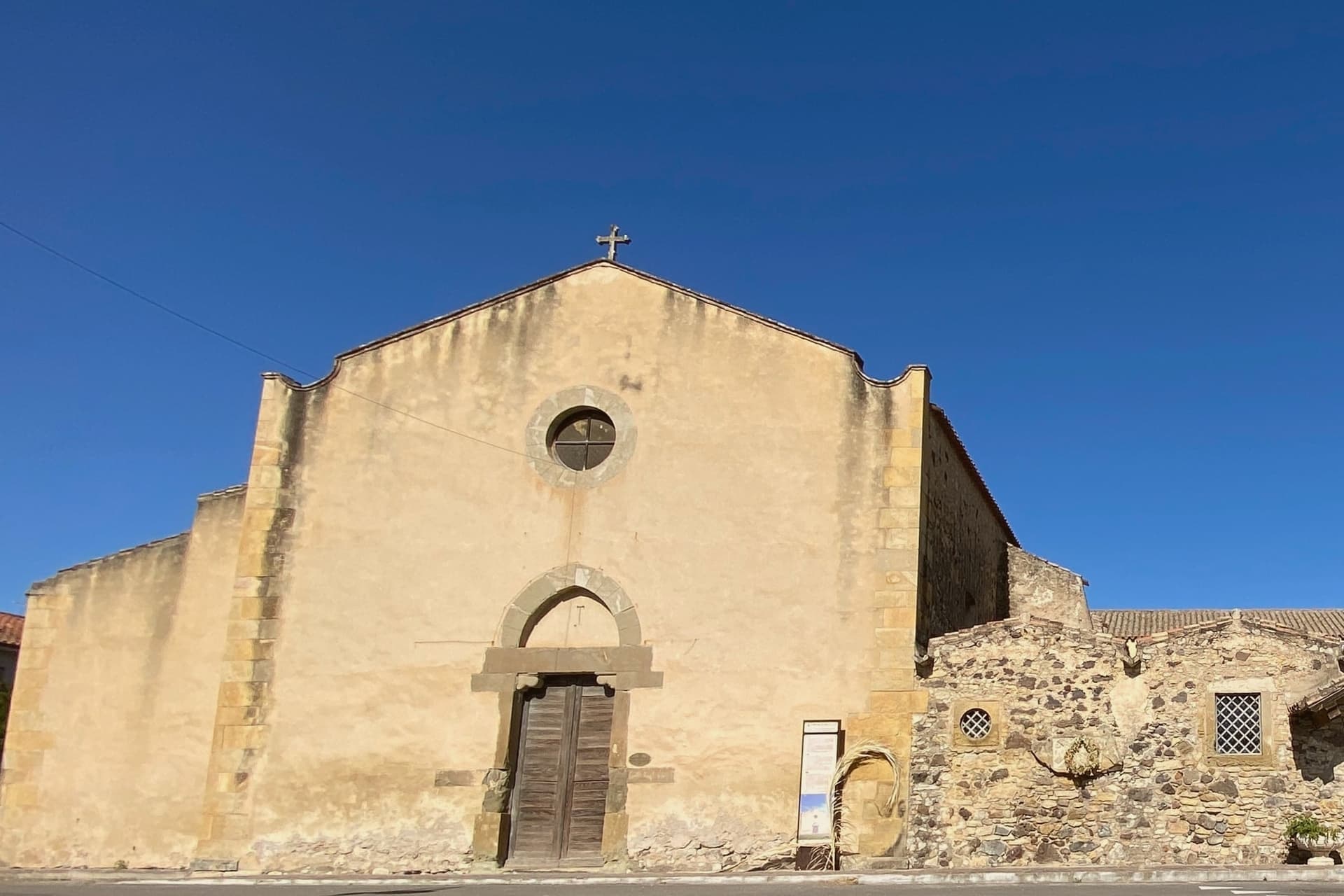
Masullas lies at 129 meters in the Marmilla, 60 kilometers northwest of Cagliari, on the southern slopes of Monte Arci. The town itself is a fusion: two medieval villages, each built around its own late-Romanesque church, grew together into the single settlement that stands today, the older of the pair raised in the 13th century.
The Roman necropolises of Mitza Salida and Roia de sa Lua show that people were on this ground well before that medieval merger, evidence of settlement reaching back to antiquity. What sets Masullas apart from neighboring Marmilla villages is the museum installed in the former convent of the Capuchin friars, dedicated to the geologist Stefano Incani.
It holds thousands of minerals and fossils documenting a region shaped first by a tropical sea twenty million years ago and then by the volcano that followed. The territory belongs to the Parco Geominerario della Sardegna, the first geological park recognized by UNESCO, and Masullas is one of its main interpretive centers.
What this adds up to is a small village whose layered history, volcanic, Roman, medieval, converges in a single former convent building at its center, a place that reads as regional archive as much as parish town.
What to see in Masullas
- GeoMuseo MonteArci Stefano Incani. Minerals and fossils fill the former convent's halls, including a room devoted to the volcano's history: a record of a tropical sea some twenty million years ago followed by the eruptions of Monte Arci.
- Chiesa di San Leonardo. The older of the two churches, standing at the center of what was once its own village before the settlements grew together.
- Chiesa di Santa Lucia. The second church, anchor of the parallel village that stood alongside the other until the two merged.
How to get to Masullas
Cagliari is roughly 69 minutes away by road.
Our tip
April through June brings green Marmilla hills and mild afternoons in the 20s, good for the Monte Arci trails behind town. September through November is the long second window, with grape and olive harvest in the surrounding countryside and clear light on the obsidian outcrops. July and August push past thirty-five degrees on the plain, and the GeoMuseo becomes the cool indoor destination during midday.
Barumini
Why visit Barumini
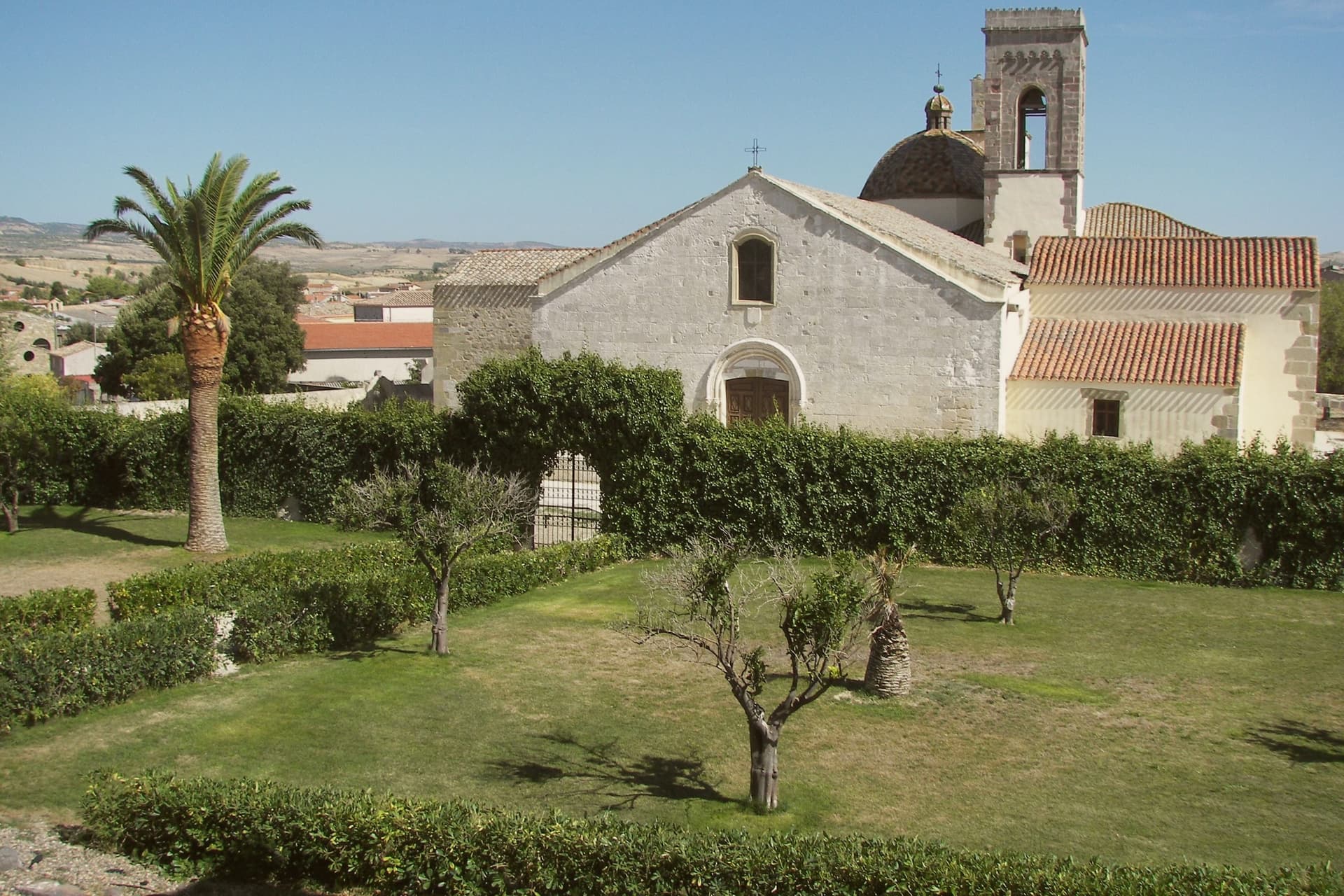
Barumini sits at 202 meters in the Marmilla, 55 kilometers north of Cagliari, on the plain at the foot of the Giara di Gesturi. About 1,150 people live here.
The village would be a small inland farming town except for what sits half a kilometer outside it: a complex of huts grew around a citadel between roughly 1500 and 100 BC, and the surrounding well and towers are the most complete and most studied of their kind on the island, with no parallel elsewhere. UNESCO inscribed the site in 1997, the first Sardinian entry on the World Heritage list.
The plateau rises above the plain on the other side of the village, basalt ground where wild horses live free and seasonal ponds form after rain. The town itself sits between the two, the excavated citadel on one side and the plateau on the other, with the historic centre and its parish church holding the space in between.
What the visitor finds at Barumini, then, is a small farming village whose ordinary footprint is bracketed by two much older and wilder things, one built up over centuries of the Bronze Age and long buried, the other still grazing above it.
What to see in Barumini
- Su Nuraxi di Barumini. 18-meter central tower with four bastions and a surrounding village of huts, set half a kilometer outside the town on the open plain.
- Casa Zapata. Spanish-era noble residence built over a second nuraghe, the underlying tower visible under glass floors of the museum.
- Giara di Gesturi. Basalt plateau above the village at 500-600 meters, home to wild horses and seasonal paulis ponds.
How to get to Barumini
There is a railway station in the town, so you can arrive without a car and never need one while you are here. Cagliari is roughly 69 minutes away by road.
Our tip
April through June and September through November are the easiest months at Su Nuraxi. Spring brings green Marmilla wheat fields and wild flowers on the Giara above. October sees the harvest and the autumn migrations through the basalt ponds.
Ulassai
Why visit Ulassai
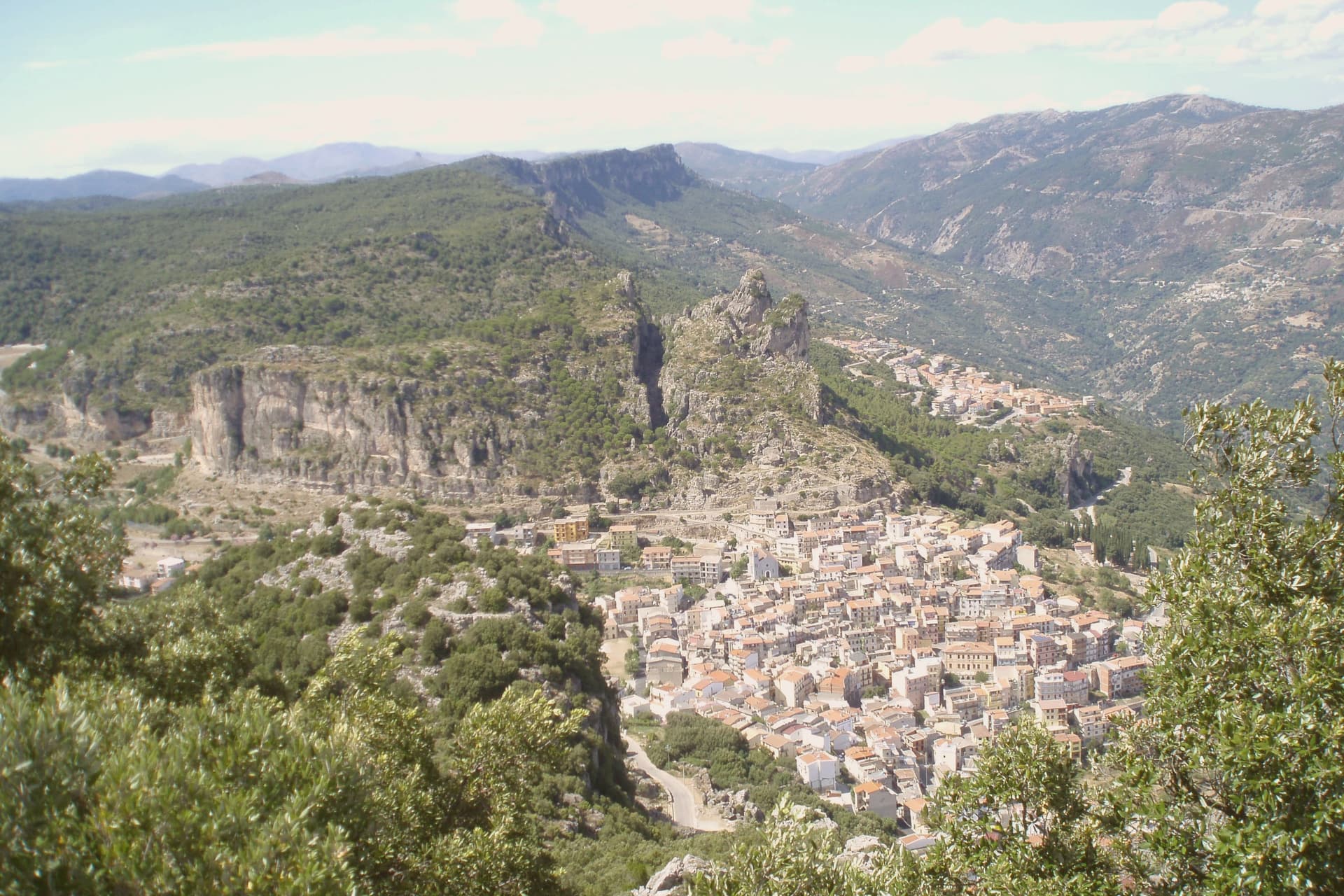
Ulassai sits on a ledge beneath the Tacchi d'Ogliastra, the limestone buttes that rise like broken teeth above the inland Ogliastra. Su Marmuri opens in the rock outside the village, and the Lequarci waterfalls drop off the Tacchi when winter rains fill them, dry again by summer.
The village itself is compact, its upper quarter built around the parish church, its lower streets running toward the old railway line that once connected Ogliastra to the coast and now ends at the station turned museum. Population has been declining here for decades, a pattern common across the inland villages of the subregion.
What keeps Ulassai distinct is the work Maria Lai made of it: a village small enough that one artist's ribbon could reach every house and still climb the mountain above it.
What to see in Ulassai
- Stazione dell'Arte. Former railway station converted in 2006 into a museum holding 140 works by Maria Lai, housed in the platform building where trains once ran.
- Grotta di Su Marmuri. A single chamber deep enough to swallow the light within a few steps of the entrance, reached by guided tour into the limestone.
- Cascate Lequarci. A 100-meter waterfall on the Tacchi cliffs above the village, active after winter rains and usually dry by midsummer.
How to get to Ulassai
There is a railway station in the town, so you can arrive without a car and never need one while you are here. Cagliari is roughly 106 minutes away by road.
Our tip
April through June is the green window: the Lequarci waterfall runs, the Tacchi turn pale gold at sunset, and the trails are walkable without heat. September through November is the second window, drier and quieter, with cooler nights at 775 meters. Summer pushes thirty degrees on the lower slopes; the village stays cooler than the coast but the waterfall dries up by July.
Seneghe
Why visit Seneghe
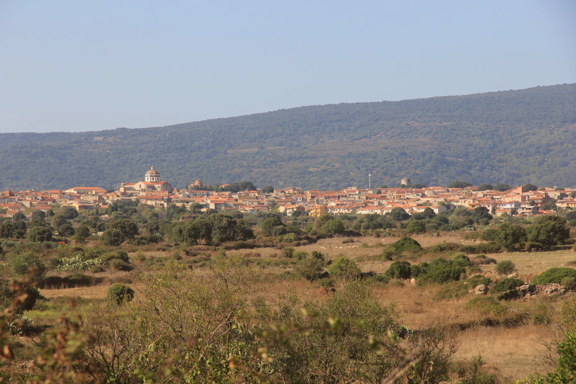
Seneghe sits at 305 meters on the eastern slope of Montiferru, the extinct volcano that supplies the basalt the village is built from. About 1,650 people live here, and the surrounding hills are planted with bosana and other Sardinian olive cultivars.
The extra-virgin oil is good enough that Seneghe won the Ercole Olivario, Italy's top national olive-oil prize, in 1994, and the village hosts the annual Premio Montiferru, the national jury competition for Italian oils. The other reason to come is poetry.
Each September, the village hosts Cabudanne 'e Sos Poetas, a festival that began in 2005 and was named Italy's best poetry event in 2009. Poets read in piazzas, in courtyards, in the basalt streets, in Sardinian and Italian and translated languages.
For three days the population doubles. The rest of the year, the town runs on agriculture, oil, and Bue Rosso cattle, the Montiferru red-coated breed that supplies the local pastoral economy.
What to see in Seneghe
- Chiesa di Santa Maria della Rosa. Parish church in the centro storico, basalt construction, holding the village's principal religious feasts.
- Centro storico in basalto. Old quarter built from the dark volcanic stone of Montiferru, with the characteristic black-grey lanes and walls of the area.
- Montiferru olive groves. Hillside groves of bosana and other Sardinian cultivars feeding the village's award-winning extra-virgin oil production.
How to get to Seneghe
Cagliari is roughly 108 minutes away by road.
Our tip
April through June and September through November are the working months in Seneghe. Spring brings green hills and warm days under twenty-five degrees. The first week of September is the highlight: Cabudanne 'e Sos Poetas fills the village for four days.
Orroli
Why visit Orroli
Orroli sits at 550 meters on the Pranemuru, a basalt plateau in the central-southern interior of Sardinia, fifty kilometers north of Cagliari. The village exists because of the plateau.
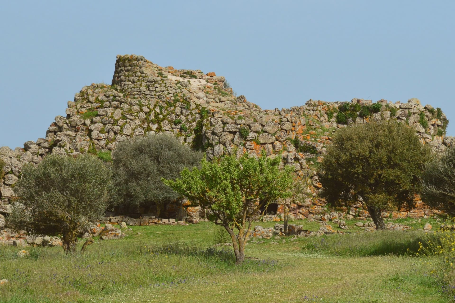
The dark basalt yielded the stone for the Nuraghe Arrubiu, the largest megalithic complex on the island and one of the most ambitious Bronze Age structures in western Europe: a central keep that originally reached thirty meters in height, surrounded by a bastion of five towers, in turn enclosed by a defensive wall with seven more towers connected by curtain walls. Twenty-one towers in total, on a footprint of five thousand square meters.
The complex was built between the fourteenth and twelfth centuries BC, occupied for five hundred years, and produced Mycenaean ceramics that confirm contacts with the eastern Mediterranean. The name Arrubiu, red, is from the lichens that color the basalt walls in summer.
The village itself, with its parish church and small piazze, sits a few kilometers from the site.
What to see in Orroli
- Nuraghe Arrubiu. Bronze Age complex of 21 towers on the Pranemuru plateau, the only five-tower nuraghe and the largest megalithic structure in Sardinia.
- Chiesa parrocchiale di San Nicola. Parish church of the village, named for the patron saint of the Sarcidano, the religious center of the small centro storico.
- Lago Mulargia. Artificial basin south of the village, fed by the Flumendosa river, used for irrigation across the southern interior.
How to get to Orroli
There is a railway station in the town, so you can arrive without a car and never need one while you are here. Cagliari is roughly 103 minutes away by road.
Our tip
April through June is the best window on the Pranemuru. The plateau still holds spring water, the basalt walls of the Arrubiu sit warm in long evening light, and visitor numbers are manageable. September through November brings the second window, with cooler mornings and the basalt taking on the red of the lichens that gave the nuraghe its name.
Santu Lussurgiu
Why visit Santu Lussurgiu
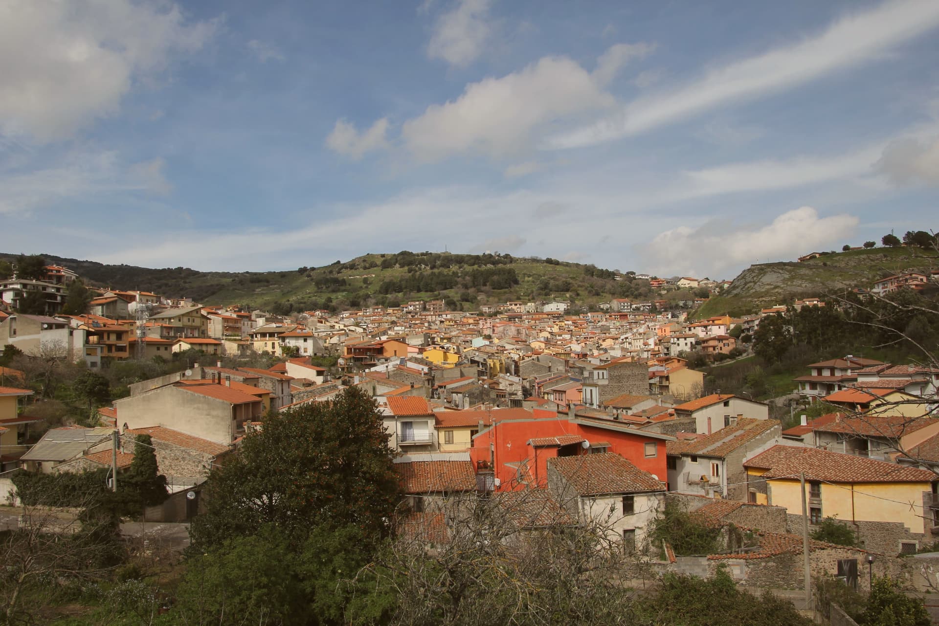
Santu Lussurgiu sits at 503 meters on the eastern slope of the Montiferru, the extinct volcano that defines the inland Oristano province. The village was named for Lussorio, a Roman soldier martyred in 303 under Diocletian.
Horses are the second name. The Giudicato of Arborea and the later Spanish viceroys both increased local breeding, and the village developed lines suited to racing.
Sa Carrela 'e Nanti, the Carnival horse race, runs across the last three days of Carnival each year, masked riders in pairs galloping down a steep stone street, an event placed alongside the Sartiglia of Oristano and the Ardia of Sedilo among the deep events of Sardinian folklore. The Spanu saddlery opened on the Corso in 1923 and is still run by the family.
The narrow Lussurgese horse collar, with a single row of bells, was designed for the racing gallop. The village rises into the Montiferru woods, with the Sos Molinos waterfalls a short drive uphill.
What to see in Santu Lussurgiu
- Sa Carrela 'e Nanti. Carnival horse race down a steep stone street, masked riders in pairs, held over the last three days of Carnival each year.
- Museo della Tecnologia Contadina. Ethnographic museum of rural Montiferru life, tools and crafts of the village before mechanization, in the centro storico.
- Chiesa parrocchiale di Santa Maria degli Angeli. Parish church of the village, the religious anchor of the medieval centro storico on the Montiferru slope.
How to get to Santu Lussurgiu
Sassari is roughly 91 minutes away by road.
Our tip
April through June is the green window in the Montiferru. The oak woods leaf out, the Sos Molinos waterfalls run full, and Santu Lussurgiu at 503 meters keeps mornings cool well into the warm months. September through November brings the second window, mushrooms in the woods and the cattle moved between pastures. Artes e Sabores falls in November.
Cuglieri
Why visit Cuglieri
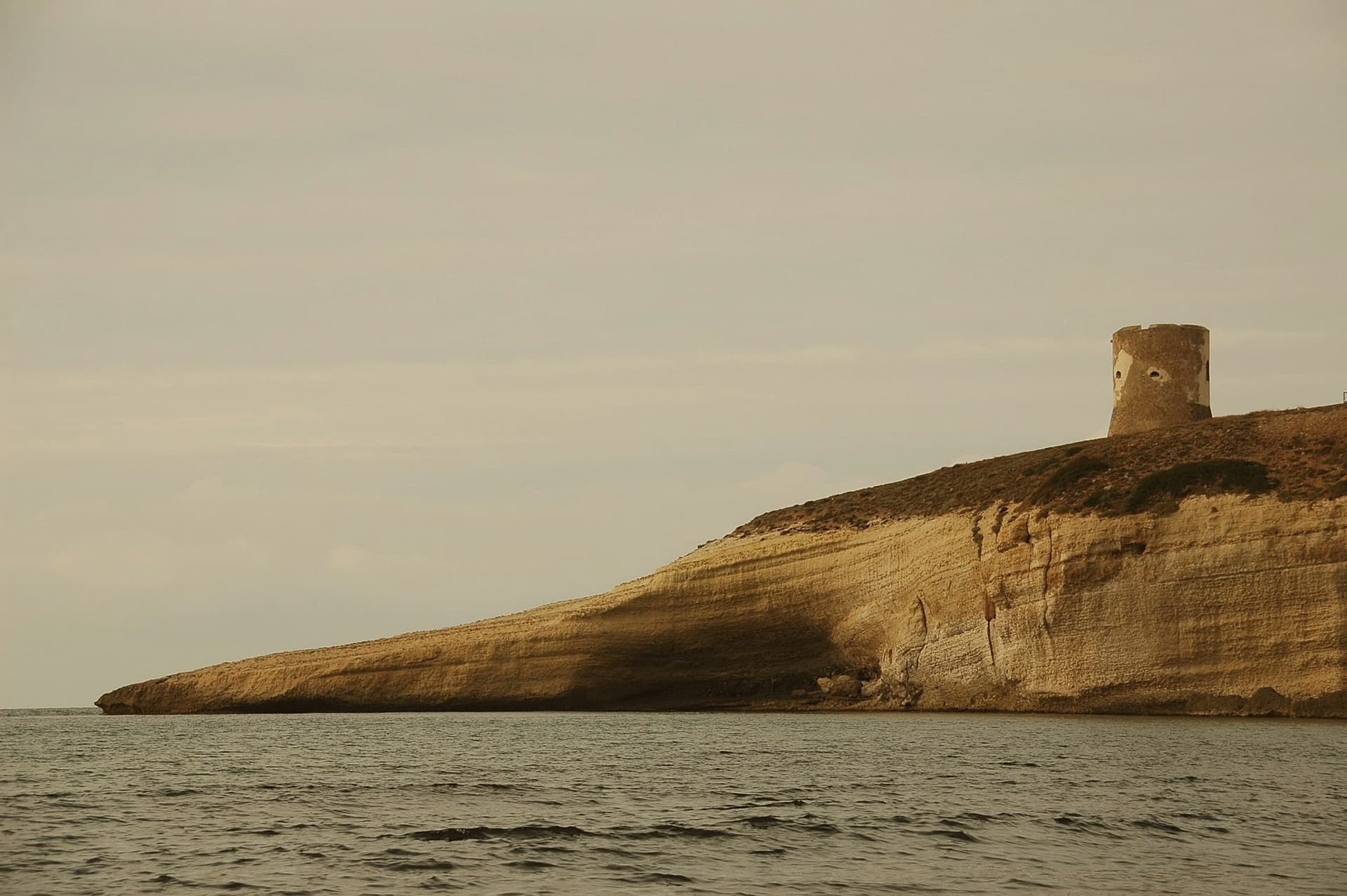
Cuglieri fans out like an amphitheatre on Bardosu hill at 428 meters, on the western slope of the Montiferru volcanic massif, the principal town of the historical Montiferru region. The Basilica di Santa Maria ad Nives, the Madonna of the Snow, dominates the village and was the first church in Sardegna granted the title of minor basilica; the patronal festa runs from 4 to 7 August.
The Zatrillas family planted olives across more than five hundred hectares around the town from the seventeenth century onward, and the silver-leafed groves still define the landscape; the local oil carries the Città dell'Olio mark. Six kilometers down toward the coast lie the ruins of Cornus, the Punic settlement founded at the end of the sixth century BC that became the stronghold of Sardo-Punic resistance to Rome in 215 BC.
The Columbaris cemetery on the same plateau holds an early Christian basilica complex, a baptistery, and a necropolis in use from the fourth century AD until a fire in the seventh or eighth century ended the site.
What to see in Cuglieri
- Basilica di Santa Maria ad Nives. First minor basilica in Sardegna, dominates the town from above; patronal festa of the Madonna of the Snow runs 4-7 August.
- Area archeologica di Cornus. Punic city founded around 525 BC, stronghold of anti-Roman revolt in 215 BC, six kilometers from the town toward the coast.
- Columbaris. Early Christian cemetery and basilica complex built over a Roman thermal structure, in use from the 4th to the 7th-8th century AD.
How to get to Cuglieri
Sassari is roughly 98 minutes away by road.
Our tip
April through June and September through November are the months for the Montiferru slopes. The olive harvest runs from late October into December, when the local presses fill, and the Sa Crapitta and Sagra dei Sapori autumn dates draw food crowds. July and August reach the mid-thirties in the valley; the village stays cooler at 428 meters but the basilica steps and the Cornus ruins are best walked outside high summer. Santa Maria della Neve a Cuglieri falls in August.