
The 9 best hill towns with a World Heritage site in Piemonte
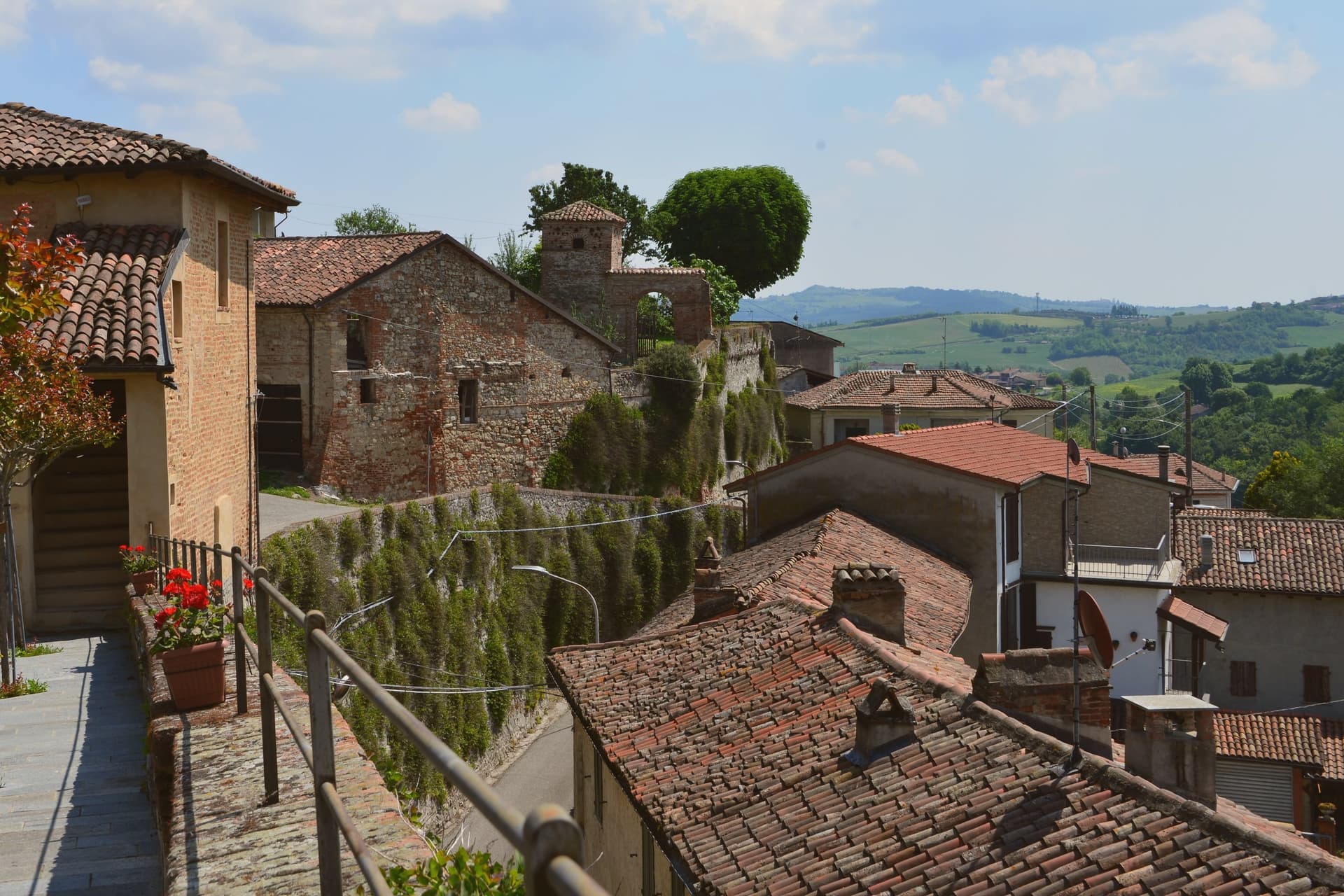
Piemonte inland is a country of low ridges and long views, with hazelnut groves on the slopes, rice plains flattening out to the east, and the Alps standing along the northern edge in clear winter light. The building material shifts as you move: brick and terracotta in the Monferrato, grey stone and slate roofs as the valleys climb towards the Sesia and the Ossola. Food follows the same logic, with raw veal dressed in oil and lemon, agnolotti del plin pinched small, bagna cauda kept warm through the cold months, and Castelmagno and robiola on the cheese board. Autumn is the season everyone plans around, when the fog settles in the valleys and the truffle market opens, but spring in the vineyards is quieter and just as good.
The Langhe pulls most of the traffic. Alba fills through October and November for the white truffle fair, and the road out to Barolo and La Morra runs bumper to bumper with cellar visits booked months ahead, small villages absorbing more cars than their streets were built for. The vineyard landscape earned its World Heritage listing honestly, and the wine is worth the journey, but the recognition covers a far wider area than the few villages that appear on every itininerary. Rooms in the core villages price accordingly, and tables need reserving well in advance.
The listings continue past that stretch. The Savoy royal residences form their own protected group across the hills north and west of Turin, the sacred mountains rise in chapels and painted chambers above the Alpine foothill towns, and the Ivrea industrial town is recognised in its own right. The towns here sit inside or hold one of those sites, in the hills rather than on the plain, and fewer people go.
Of the 65 communes we have mapped in Piemonte, 9 qualify as hill towns with a World Heritage site: each is an inland hill settlement, and each holds or sits inside a UNESCO World Heritage site. The smallest, Serralunga di Crea, has 503 residents.
Two more lists worth reading alongside this one: The best towns with a World Heritage site that eat well in Piemonte and The best towns with a World Heritage site within 75 minutes of Turin.
Why visit Serralunga di Crea
Serralunga di Crea sits in the Basso Monferrato hills forty-five kilometers east of Torino, on the highest of a series of ridges that look across the Po plain. The hill behind the village rises to 443 meters, and it is on this wooded height, rather than in the village itself, that the commune's main structures stand: the sanctuary at the centre, the ring of chapels around it, and the vineyards on the lower slopes beyond the reserve boundary.
The chapels were begun in 1589 by Costantino Massino on a plan of fifteen Rosary stations, expanded over the following two centuries to twenty-three chapels and five hermitages, so what stands today is the accumulation of a long building period rather than a single campaign. The vineyards that surround the hill carry a separate and later UNESCO recognition, from 2014, so the commune holds two world heritage lines on the same stretch of ground: one on the summit, one on the slopes around it.
The village below is small; the hill above is where its two distinctions both sit, layered rather than separate.
What to see in Serralunga di Crea
- Sacro Monte di Crea. Chapels and hermitages climb the wooded hill above the village along a Rosary-plan pilgrim route, each station set among trees with views opening intermittently over the ridge.
- Santuario di Nostra Signora di Crea. Marian sanctuary at the centre of the Sacro Monte, the building the whole climb of chapels was arranged around, traditionally founded by Saint Eusebius of Vercelli.
- Cappella del Paradiso. Final chapel of the Sacro Monte, summit of the climb, with over 300 statues in a polychrome celestial composition.
How to get to Serralunga di Crea
Novara is roughly 58 minutes away by road.
Our tip
April through June is the green window in the Basso Monferrato: hills coming into leaf, the climb up the Sacro Monte cool in the morning, and the panorama across the Po plain at its clearest. July and August touch the mid-thirties on the open ridges; the woods around the chapels stay cooler, but the late afternoon climb is hard work. September and October are the wine months, with Monferrato harvest in the surrounding cantine and pilgrim groups returning for the Rosary festivals.
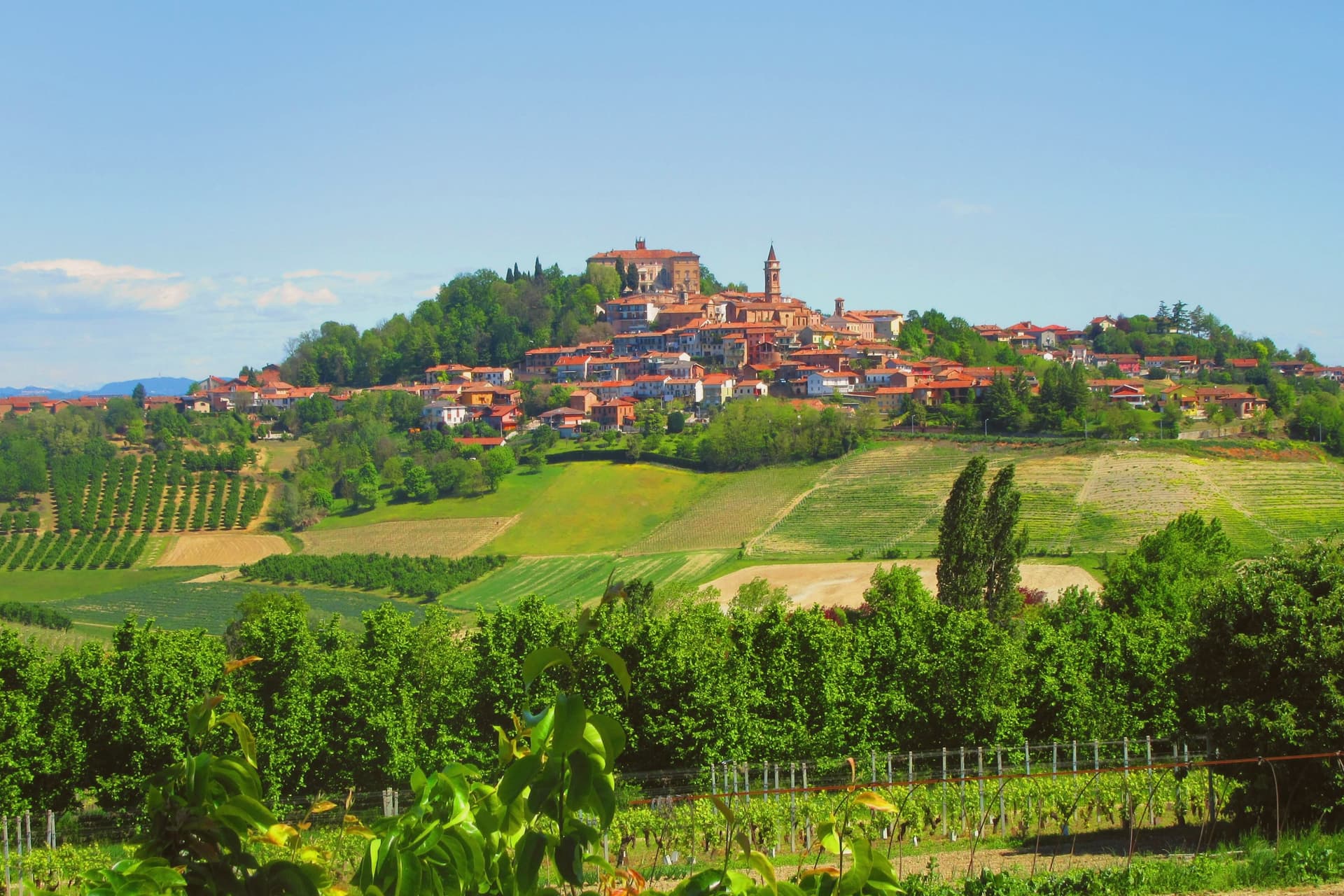
Why visit Govone
Govone sits at 301 meters on the eastern edge of the Roero, where the hills give way to the Tanaro plain that separates Roero from Langhe. The site began as a Solaro family palace before the Savoy bought it in 1792, holding it as a summer residence for the royal house until 1870.
In 1997 UNESCO added it to the Residences of the Royal House of Savoy list, alongside thirteen other Savoy palaces. Rousseau's time here as a household tutor for Count Ottavio Solaro predates the castle's Savoy ownership by decades, a reminder that the building's Solaro-era life ran long before it became a royal fixture.
The bell tower of the parish church sits on the ridge below the castle, so the village reads as a single climb: houses and church on the slope, the residence and its terraced garden at the top, looking across the Tanaro to the Langhe hills. The castle now works as the town hall, its noble floor open for tours the rest of the year and its rooms given over to the Christmas market for six weeks each winter.
A Solaro country house, absorbed into Savoy state ceremony, now runs as civic offices for most of the year and a holiday market for the rest, which is a fair summary of how a minor royal residence keeps itself in use once the monarchy that built it is gone.
What to see in Govone
- Castello Reale di Govone. The two-flight grand staircase carries the eye up past the telamones brought from Venaria Reale, and the noble floor is open for guided tours now that the building serves as the town hall.
- Giardino all'italiana. Formal terraced garden behind the castle, with views across the Tanaro to the Langhe hills.
- Chiesa di Santa Maria Annunziata. Parish church in the village, with eighteenth-century altarpieces and a bell tower on the ridge below the castle.
How to get to Govone
Torino is roughly 65 minutes away by road.
Our tip
April through October is the season. May and June bring the Roero into full color and the castle gardens open for guided tours. September and October are dry and the harvest fills the surrounding hills.
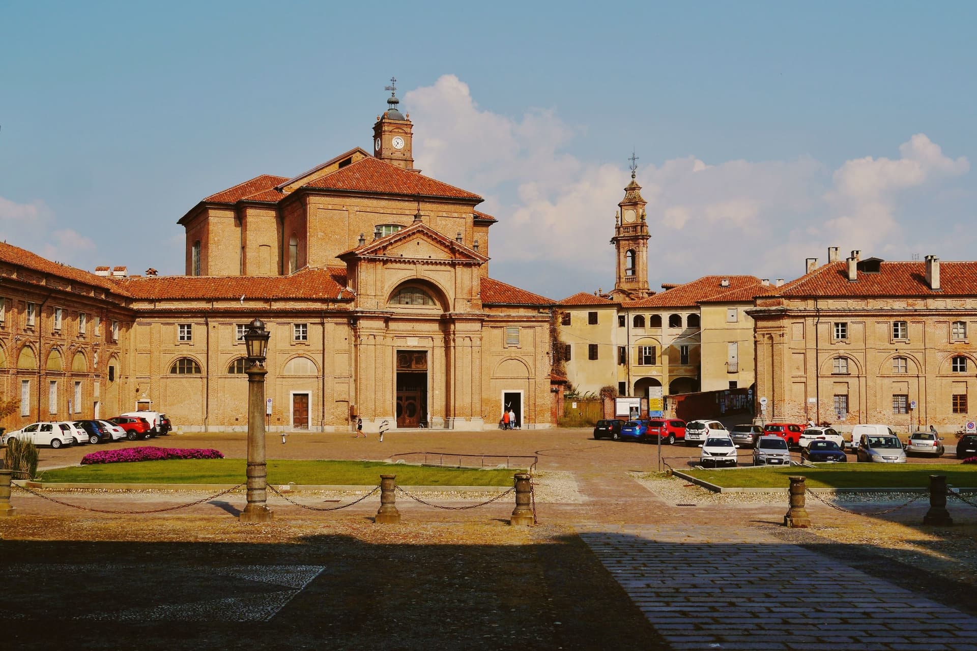
Why visit Agliè
Agliè sits at 330 meters in the Canavese, thirty-five kilometers north of Torino on the foothills above the Po plain. The d'Agliè family held the fortified core from 1259, and the conversion to a Sabauda residence began in the mid-1600s under Count Filippo San Martino d'Agliè, favourite of the Regent Christine of France.
The castle later entered the UNESCO list of Savoy Residences, one of fourteen royal sites recognised together as a single serial property, and its gardens grew alongside it, enlarged in the nineteenth century with terraced Italian and English layouts. The town's other center of gravity lies apart from the castle, at a country house on the edge of the commune where a Crepuscolar poet kept his own quiet ground.
The centro storico adds a third note, a confraternity church faced in glazed terracotta from nearby Castellamonte. The town carries the Bandiera Arancione of the Touring Club, a place where a Savoy court seat, a poet's retreat, and a working parish church occupy the same small radius without competing for it.
What to see in Agliè
- Castello Ducale. The two parallel galleries framing the courtyard and the internal Chapel of San Massimo are the work Amedeo di Castellamonte added for Count Filippo San Martino, the piece that turned a fortified seat into a residence fit for the Savoy court.
- Giardini e Parco del Castello. The eighteenth-century basin stages an allegory in stone: the Dora Baltea meeting the Po, set among the terraced beds where Italian and English styles sit side by side.
- Chiesa di Santa Marta. Confraternity church in the centro storico, decorated with polychrome glazed terracottas from nearby Castellamonte.
How to get to Agliè
Torino is roughly 45 minutes away by road.
Our tip
April through June is the green window for the Canavese hills, when the castle gardens are in full leaf and the morning light works well on the long west façade. July and August are hot in the valley below and the gardens carry the heat; Agliè empties between two and five in the afternoon. September and October are the second peak, with vineyards in the surrounding frazioni turning over for harvest.
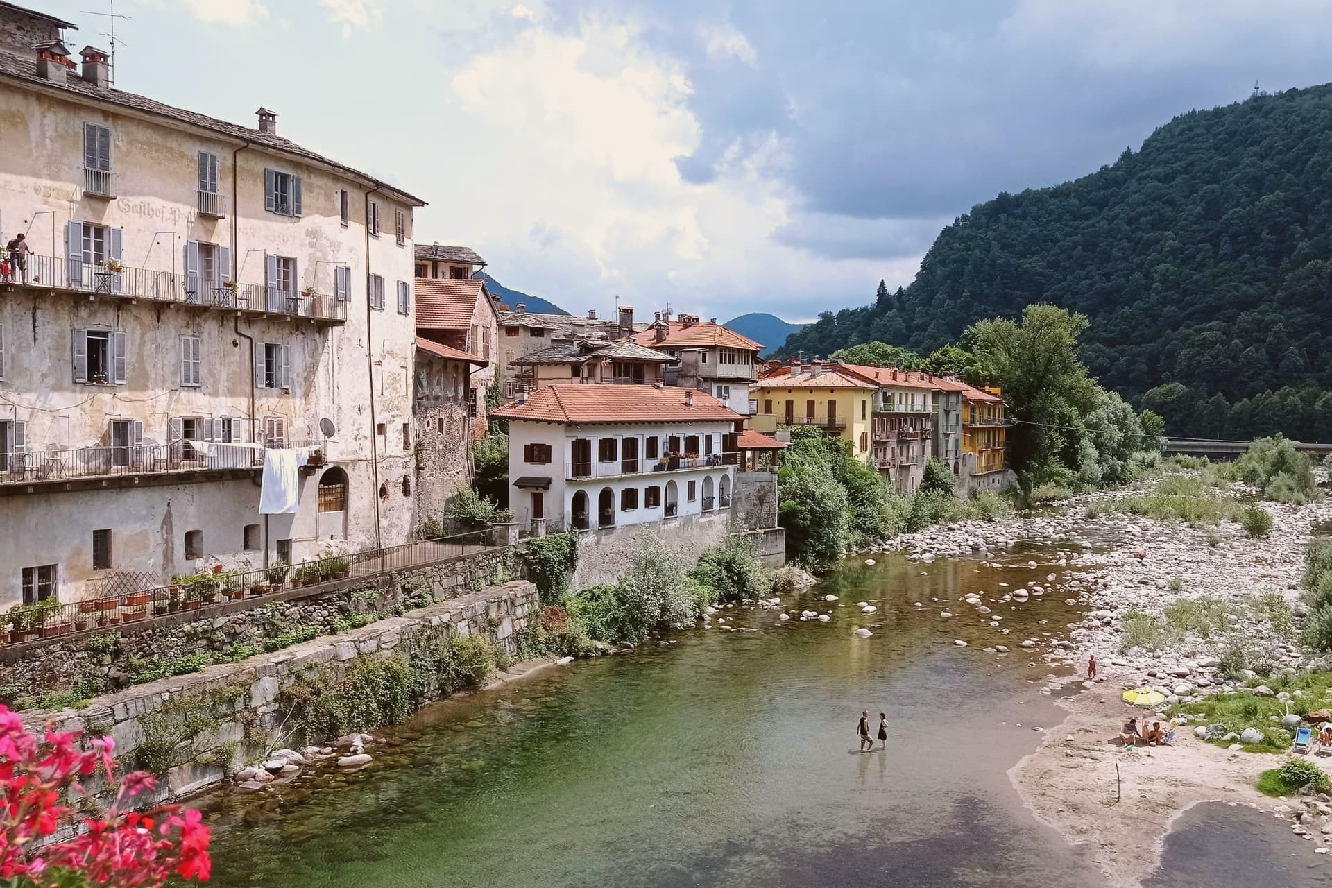
Why visit Varallo
Varallo sits at 450 meters where the Mastallone joins the Sesia, the capital of Valsesia and the gateway to the high valleys under Monte Rosa. The lower town gathers along the river confluence, ordinary and administrative, while the devotional complex occupies the rock above it, reached now by cable car but originally by a path of ascent that was itself part of the pilgrimage.
The chapels were conceived as a reproduction of the geography of the Passion, laid out so that walking through them retraced a landscape rather than simply viewing scenes. The complex grew over four centuries to its present scale, with more than eight hundred statues and four thousand frescoed figures distributed across the chapels and the basilica at their center.
UNESCO inscribed the Sacri Monti of Piedmont and Lombardy as a single serial site in 2003. What results is a town split in function between a valley capital going about its administrative life and a hillside set apart for a single sustained act of devotional theater, the two joined by a short vertical crossing that pilgrims once made on foot.
What to see in Varallo
- Sacro Monte di Varallo. Forty-five chapels and more than eight hundred life-size statues laid out on the rock above town, founded by Bernardino Caimi as a substitute Holy Land for pilgrims.
- Basilica del Sacro Monte. Minor basilica at the heart of the upper complex, focal point of the chapel circuit and the pilgrim route to the painted Holy Land.
- Pinacoteca di Varallo. Civic painting collection in Palazzo dei Musei, including works by Gaudenzio Ferrari and his Valsesian school of sacred painting.
How to get to Varallo
There is a railway station in the town, so you can arrive without a car and never need one while you are here. Novara is roughly 67 minutes away by road.
Our tip
April through June brings green Valsesia slopes, the Sesia at full spring flow, and clear walking up to the chapels of the Sacro Monte. September and October are the strongest months, when the larch and beech around the basilica turn and the cooler air carries the painted statues better than summer haze. July and August touch the low thirties on the lower town; the climb to the summit through the wooded path is the right way to enter the chapels in heat.
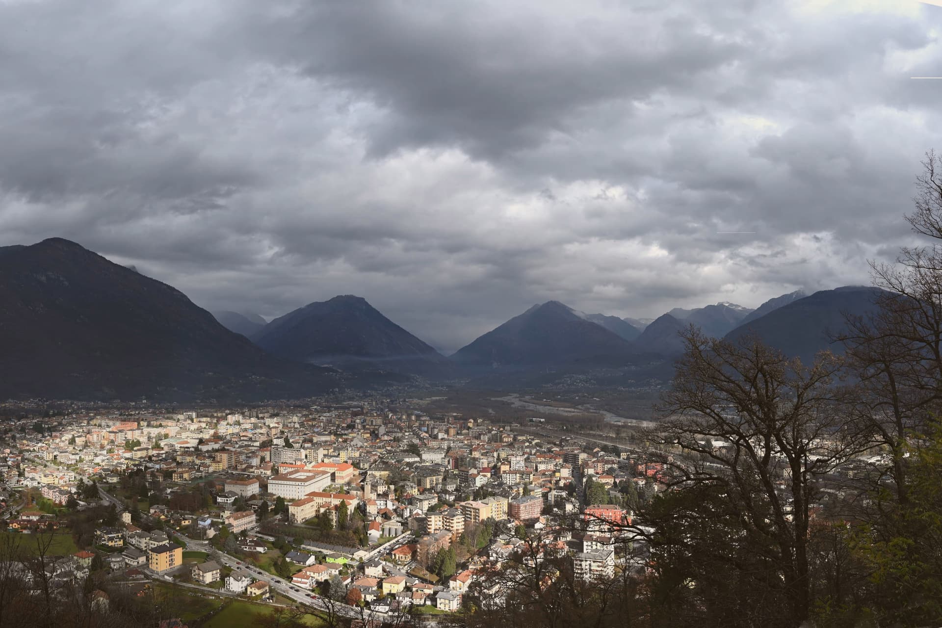
Why visit Domodossola
Domodossola sits at 272 meters at the confluence of the Bogna and Toce rivers, the historic capital of the Ossola valleys and the Italian end of the Simplon Pass. Two Capuchin friars chose the hill above the town in 1656, and the sanctuary that follows still marks the skyline.
The medieval core is built around the market square, its porticoes and merchant houses forming the center of the borgo, with the rest of the centro storico spreading out behind it in arcaded streets. The Castle of Charlemagne once stood at Piazza Tibaldi, until 1804, when Napoleon ordered it demolished to open the Sempione road.
The longer story of the pass arrived in 1906, when a rail tunnel under the Alps connected Domodossola to Brig in Switzerland over 19,803 meters, the longest railway tunnel in the world for most of the twentieth century. Between the hill, the square and the tunnel, the town reads as a hinge point: a valley capital shaped as much by what passes through it toward Switzerland as by what was built to stay.
What to see in Domodossola
- Sacro Monte Calvario. A Special Nature Reserve on the hill above town. The twelve Via Crucis chapels lead up to the sanctuary in sequence, started in 1657.
- Piazza Mercato. The porticoes still shelter the square's merchant houses, their balconies and carved loggettes intact above the arcades.
- Centro storico medievale. The walled core beyond the square, arcaded streets between fifteenth-century palazzi, named Borgo della Cultura after recent restoration.
How to get to Domodossola
There is a railway station in the town, so you can arrive without a car and never need one while you are here. Novara is roughly 93 minutes away by road.
Our tip
April through June and September through October are the working months for Domodossola: alpine light, full ferry-and-train connections through the Simplon, and walkable temperatures in the centro storico. July and August warm into the high twenties on the valley floor but stay cool on the Mattarella hill, where the Sacro Monte chapels sit in beech shade. November through March is quiet but never closed.
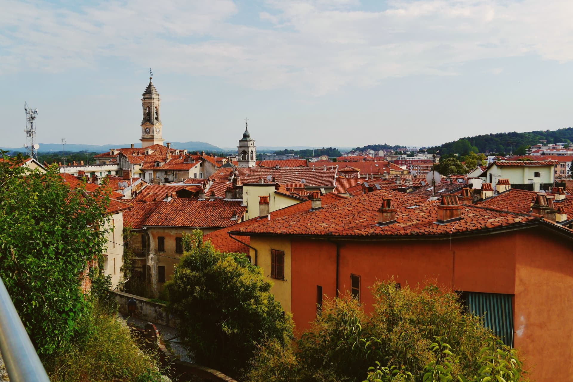
Why visit Ivrea
Ivrea sits at 267 meters where the town meets the river that drains the Aosta valley before it reaches the Po, the Dora Baltea, guarding the Alpine routes into Gaul that made the site worth fortifying in the first place. The medieval town grew upward from that Roman garrison into a seat of regional power, and centuries later the same streets became the frame for an industrial experiment: Camillo Olivetti opened a typewriter factory here in 1908, and his son Adriano rebuilt the town around its workers, threading glass-walled plants, housing, schools, libraries, and cultural centers into the landscape rather than beside it.
The Cinque Laghi lie north of the center, five small lakes left by the Balteo glacier, a different register of water from the Dora Baltea that carried the Roman and industrial town below. The layers do not so much replace each other as sit stacked: a Roman garrison town, a medieval capital, and a twentieth-century factory city occupy the same ground on the same river, and the carnival each February, with its reenacted revolt, is the one moment the town stages its own long memory in public.
What to see in Ivrea
- Castello di Ivrea. Fourteenth-century red-brick castle of the Savoy on the hill above the centro storico, with four towers and views over the Dora Baltea.
- Duomo di Santa Maria Assunta. Ninth-century cathedral on the site of a Roman temple, with Romanesque crypt and bell tower, the religious anchor of medieval Ivrea.
- MAAM - Museo a Cielo Aperto dell'Architettura Moderna. Open-air museum of the ICO factories and the Talponia underground housing, walkable ground for tracing how the glass-walled plants and worker facilities sit against the town.
How to get to Ivrea
There is a railway station in the town, so you can arrive without a car and never need one while you are here. Torino is roughly 56 minutes away by road.
Our tip
April through October is the open season. May and June green the morainic hills around the Cinque Laghi and the Olivetti factory tours run on full schedule. September and October are dry and quiet, the time to walk the UNESCO industrial route without summer heat.
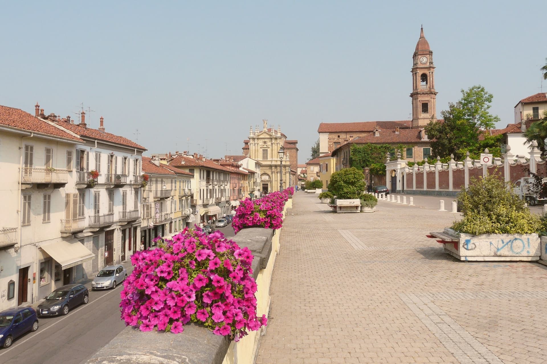
Why visit Bra
Bra sits at 290 meters in the Roero hills, fifty kilometers southeast of Torino, on the north edge of the Langhe-Roero-Monferrato UNESCO wine landscape. The old center, with its porticoed Corso Garibaldi and Via Cavour, is the working core of town; above it a nineteenth-century pavilion looks out over the surrounding hills, and below, on the Tanaro, a frazione occupies the site of a Roman colony inside a former Savoy royal estate.
Carlo Petrini founded Slow Food here in 1986 in response to a McDonald's planned next to the Spanish Steps in Rome, and the movement's headquarters has stayed in town since. In 1999 Bra was one of the four founding cities of Cittaslow, the small-town quality-of-life network.
The biennial Cheese fair, the largest event in the world for raw-milk cheeses, fills the old center in odd-numbered Septembers, alongside the town's own DOP cheese and its ground veal sausage, eaten raw by local custom. A town this size holding a global food movement, a gastronomic university, and a Roman site within its own borders is not an accident of promotion: it reflects a place that has treated eating and its history as civic matters worth building institutions around.
What to see in Bra
- La Zizzola. Octagonal pavilion on the hill above town, reached as the best panoramic point over the Langhe and Roero.
- Palazzo Mathis. Fourteenth-century palazzo on the central piazza with frescoed main floor and eighteenth-century oil-painted door covers, now used for exhibitions.
- Palazzo Traversa. Fifteenth-century building housing the Museo di Archeologia, Storia e Arte, with finds from the Roman colony of Pollentia.
How to get to Bra
There is a railway station in the town, so you can arrive without a car and never need one while you are here. Torino is roughly 54 minutes away by road.
Our tip
April through June and September into October are the months Bra runs cleanest. The Roero hills colour up around the town, the cellars hold tastings, and the Cheese fair takes the centro storico in September of odd years. July and August get hot in the Tanaro plain below, and the porticoes on Corso Garibaldi become the cool part of town between four and seven in the afternoon. Bra's - Bra falls in September.
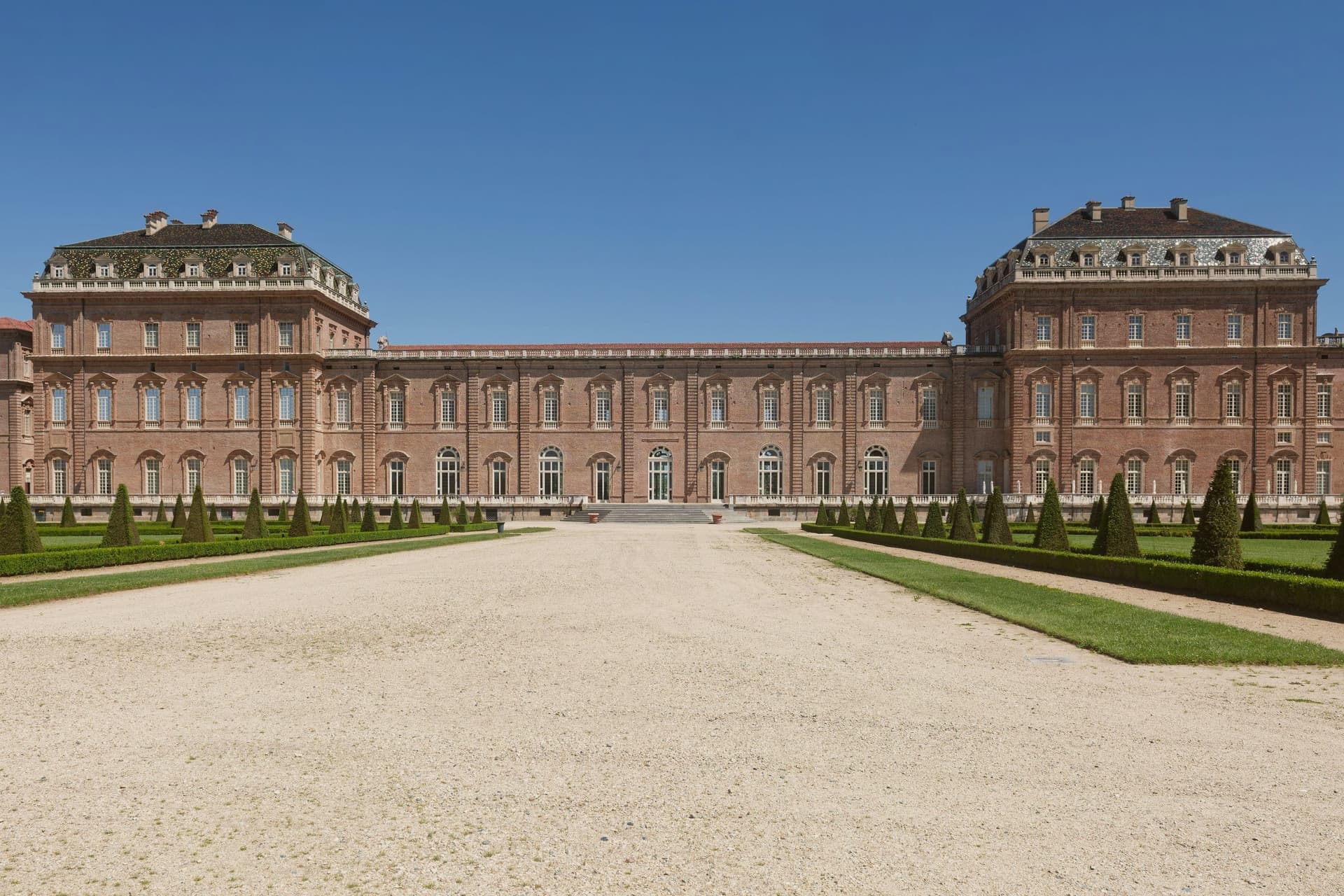
Why visit Venaria Reale
Venaria Reale sits at 269 meters fifteen kilometers northwest of Torino, on the lowland that ran into the Savoy hunting forests of the Mandria. The modern name comes from the Latin ars venatoria, hunting.
In 1658 Duke Carlo Emanuele II commissioned court architect Amedeo di Castellamonte to build a residence for hunting parties and court leisure, with a coordinated plan for palace, park, hunting wood and adjoining village. In 1716 Filippo Juvarra enlarged the complex with the Galleria Grande, the Cappella di Sant'Uberto, the Citroniera and the Scuderia, lifting the Reggia to one of the major baroque set pieces of Europe.
The Savoy Residences entered the UNESCO list in 1997. After two centuries as a military barracks the palace was restored across eight years from 1999 to 2007, in the largest cultural restoration project in European Union history, with 1,800 operators on site.
The Reggia now opens eighty thousand square meters of floor surface and sixty hectares of gardens, with the three thousand fenced hectares of the Parco della Mandria beyond.
What to see in Venaria Reale
- Reggia di Venaria. UNESCO baroque palace begun in 1658 by Amedeo di Castellamonte for Duke Carlo Emanuele II, with 80,000 m² of floors and 60 hectares of gardens.
- Galleria Grande. Filippo Juvarra's barrel-vaulted gallery of 1716, one of the longest enfilades of baroque court architecture in Europe.
- Cappella di Sant'Uberto. Royal chapel designed by Juvarra inside the palace, completed in the second decade of the eighteenth century for the hunting court.
How to get to Venaria Reale
There is a railway station in the town, so you can arrive without a car and never need one while you are here. Torino is roughly 28 minutes away by road.
Our tip
April through June is the best window for the gardens of the Reggia and the long walks through the Parco della Mandria, with parterres in full bloom and the hunting park green. September and October bring cooler air over the gardens and the start of the autumn exhibition season inside the Galleria Grande. July and August touch the mid-thirties on the Torino plain; the palace interiors stay cool, the Citroniera and the chapel hold the heat at bay, but the gardens flatten in midday glare.
Why visit Biella
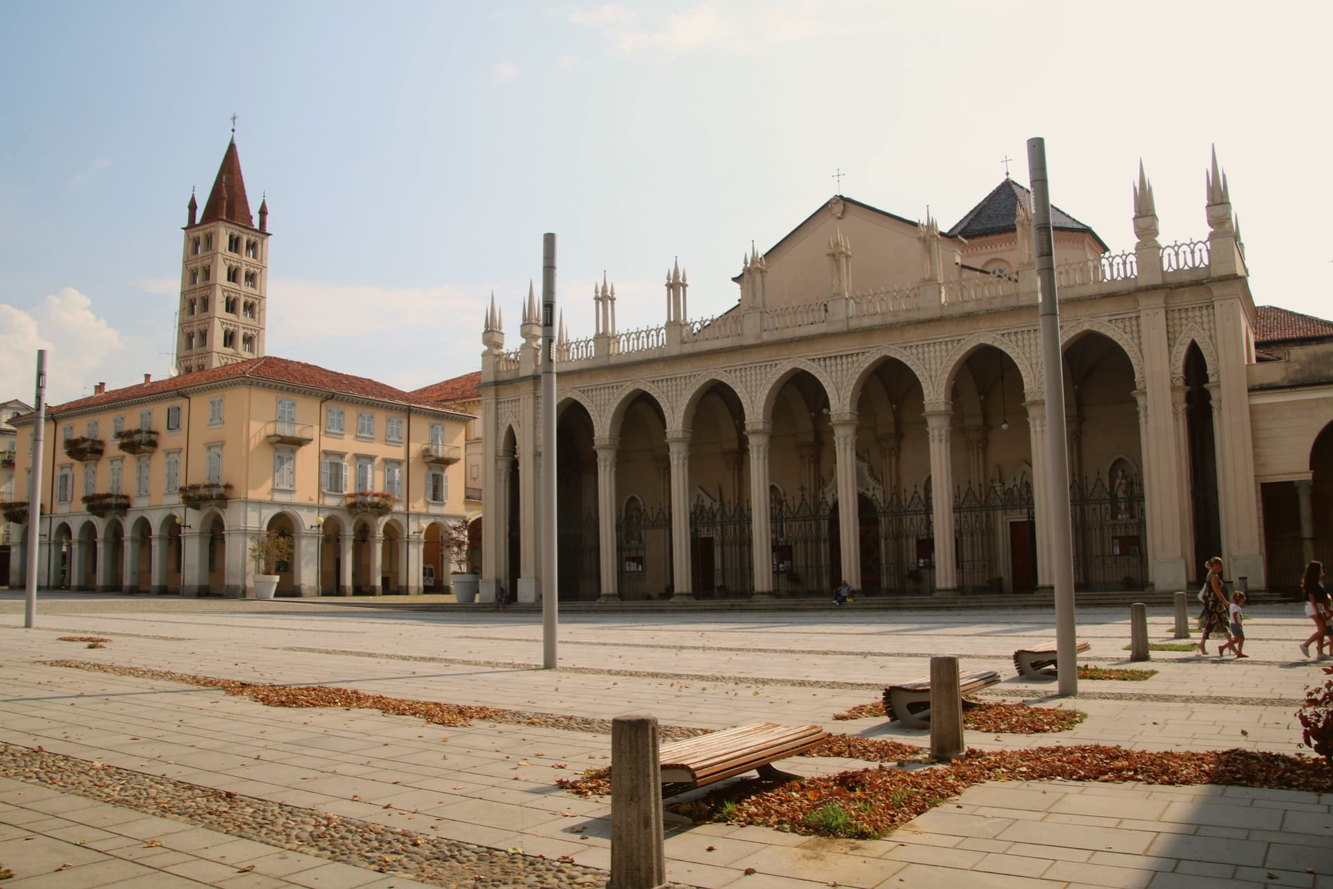
Biella sits at 417 meters at the foot of the Biellese Alps, in a basin where fast Alpine streams cut down from Mont Mars and the Oropa range. The statutes of 1245 already named the woolworkers' and weavers' guilds, and the city built itself around them: by the nineteenth century, vertical mills along the streams had turned Biella into the Manchester of Italy.
The names still on the labels, Zegna, Cerruti, Loro Piana, Piacenza, Fila, were founded here. The upper town, Biella Piazzo, sits above the modern Piano on a small hill, reached since 1885 by a water-counterbalance funicular that still runs the same 60-meter climb.
The Romanesque Baptistery on Piazza Duomo is the city's oldest stone, ninth or tenth century, set next to the cathedral. Above the city, the Sacro Monte di Oropa belongs to the UNESCO Sacri Monti site, and Biella was named a UNESCO Creative City for Crafts and Folk Art in 2019.
What to see in Biella
- Biella Piazzo. Medieval upper town on a small hill above the modern Piano, with arcaded palazzi and narrow stone streets, reached by funicular since 1885.
- Funicolare del Piazzo. Historic funicular opened in December 1885, covering a 60-meter altitude gradient in 177 meters between Via Curiel and Via Avogadro.
- Battistero di Biella. Romanesque baptistery on Piazza Duomo, ninth to tenth century, the oldest standing monument in the city.
How to get to Biella
There is a railway station in the town, so you can arrive without a car and never need one while you are here. Novara is roughly 63 minutes away by road.
Our tip
April through June brings green pastures on the Biellese Alps and clean light off the streams that built the mills. September and October are the dry, gold months, when the chestnut woods around Oropa turn and the textile fairs run in town. July and August stay cooler than the Po Valley but can sit humid; the upper Piazzo holds breeze that the Piano does not. Bolle di Malto - Salone Italiano della Birra falls in August.
More from Anywhere Italy
 The best towns with a World Heritage site that eat well in Piemonte
- The best towns with a World Heritage site within 75 minutes of Turin
- The best hidden towns with a World Heritage site in Piemonte
 The best hill towns within an hour of Turin
 The best hill towns within 90 minutes of Novara
- The best towns with a World Heritage site within two hours of Genoa