
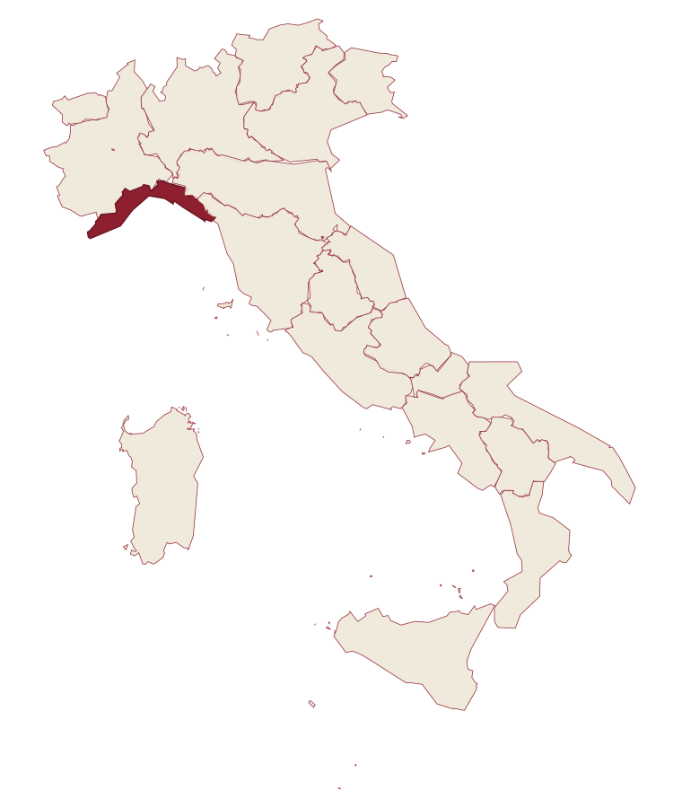
Liguria · Savona
Toirano
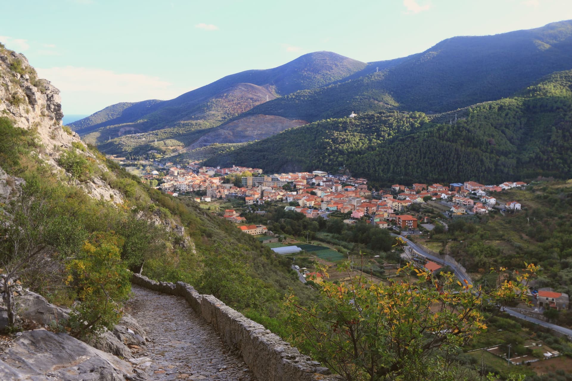
A medieval village at the mouth of the Val Varatella, four kilometers inland from Loano, with karst caves holding 14,000-year-old human footprints.
- Best time
- Apr–Oct
- By car
- 1 h 14 min from Genoa
- Population
- 2,680
Known for
GROTTA DELLA BÀSURA
Karst cave with 14,000-year-old human footprints of five Homo sapiens and a dog, plus the Cimitero degli Orsi cave-bear deposit.
CAVE BEARS
The Ursus spelaeus bone field discovered in 1950, one of the largest deposits of the extinct European cave bear in Italy.
VAL VARATELLA
Karst valley behind the village, with climbing crags, the Museo Etnografico and walking routes into the hinterland of Loano.
When to visit
Best · Apr–Oct
- J12°
- F13°
- M15°
- A17°
- M21°
- J25°
- J28°
- A29°
- S26°
- O21°
- N16°
- D13°
- Best
- Hot or crowded
- Quiet
- Mostly closed
Daytime averages, 2020–2024. The sea is warmest in August at 28° and coldest in February at 14°. Weather data by Open-Meteo.com.
The festa: Martino di Tours, 11 November
Why come
Toirano sits at the mouth of the Val Varatella, four kilometers inland from Loano on the Riviera di Ponente. The town's defining asset is underground: the Grotte di Toirano, a karst complex of four cavities discovered in 1950, two of them open to visitors. The Grotta della Bàsura preserves the bones of cave bears piled in a chamber called the Cimitero degli Orsi and a set of human footprints dated to roughly 14,000 years ago, made by five Homo sapiens and a dog walking together through the cave.
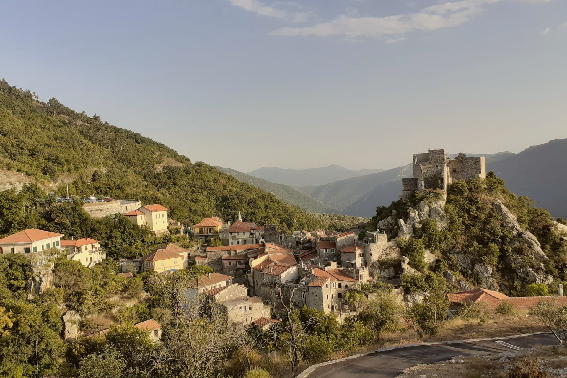
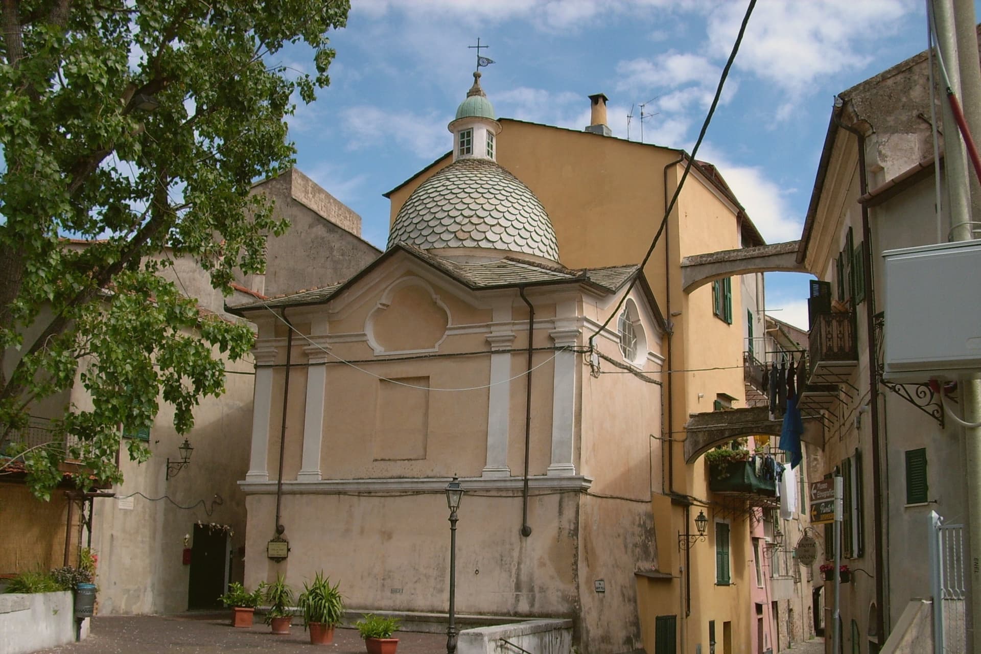
The village above the caves has the layout of a fortified borgo of the Genoese hinterland, with narrow streets, a thirteenth-century parish church, and a Museo Etnografico documenting the agriculture of the Varatella valley. The combination of cave science and coastal proximity sends roughly 70,000 paying visitors underground each year.
The Sunday letter
Toirano is on our list. Its letter is still to come.
We are writing about all 1,000 of these towns, one at a time, in a free letter every Sunday: the photo, the food, the festa. That is our mission. Sign up and you will be there when Toirano comes up. By Peter & Sophia, from Pietrasanta.
Read on
Toirano in our articles
How to get there
From Genoa (GOA), about 1h 9m by car.
Turin (TRN) is about 2h 21m away.
By car from the centre of Milan 2h 32m.
Coming by train into Genova Piazza Principe? Toirano is about 1h 13m away by road.
What to see
Grotte di Toirano
Karst cave complex of four cavities, two open to visitors, with concretions of stalactites and the cave-bear deposits of the Bàsura.
Grotta della Bàsura
Cave discovered in 1950, holding human and animal footprints dated to about 14,000 years ago and the Cimitero degli Orsi bear-bone deposit.
Museo Etnografico della Val Varatella
Civic museum on rural life in the Varatella valley, with tools, looms and reconstructions of farmhouse interiors.
Chiesa di San Martino
Parish church with thirteenth-century origins and later baroque rebuilds, on the main piazza of the centro storico.
Centro storico
Tight medieval village under the Varatella gorge, with stone arches across the lanes and stretches of preserved town wall.
The slow-trip planner
Building a trip? Find where Toirano fits in a slow Italy circuit.
Answer five questions. We will shape a geographically coherent slow trip from the 1,000 Italian towns most travelers skip. Yours to save and share.
Living here
- Population 2,680
- Commuter belti
- Pharmacy in town
- High school within a 30-minute drive
- Nearest airport Genoa, 1 h 9 min drive
- Regional capital Genova, 1 h 14 min drive
Common questions
- What is Toirano known for?
- Toirano is a medieval village at the mouth of the Val Varatella, four kilometers inland from Loano, with karst caves holding 14,000-year-old human footprints.
- Where is Toirano?
- Toirano is a comune in the province of Savona, in Liguria, at 35 meters above sea level.
- What is the nearest airport to Toirano?
- Genoa (GOA), about 1h 9m by car.
- How long is the drive from Milan to Toirano?
- About 2h 32m by car.
- When is the best time to visit Toirano?
- Best in Apr–Oct. August is the warmest month, averaging 29 degrees, and May the wettest, with about 11 rain days.
- Is there a sagra or a festival in Toirano?
- The town keeps its patron saint's day: Martino di Tours, 11 November.
- Which other towns are like Toirano?
- Moneglia, Noli and Borgio Verezzi.
- How many people live in Toirano?
- 2,680 at the 2023 count.
Tags & datadesignations · numbers · sources
Recognised as
The numbers
- Elevation: 35 m
- Population: 2,680
- Surface area: 18.97 km²
These figures were compiled from public directories: ISTAT, OpenStreetMap and Wikidata, and from the official listings of the guides named on this page. Town details change; verify with official sources before you travel.
Similar
Towns like Toirano
Moneglia
Province: Genova
both on the Ligurian coast · both under 3,000 people
Noli
Province: Savona
both on the Ligurian coast · both under 3,000 people
Borgio Verezzi
Province: Savona
both on the Ligurian coast · both under 3,000 people
Laigueglia
Province: Savona
both on the Ligurian coast · both under 3,000 people
Cetara
Province: Salerno
both under 3,000 people · both near sea level
Marano Lagunare
Province: Udine
both under 3,000 people · both near sea level
🟠 Bandiera Arancione
More Bandiera Arancione towns in Liguria
Apricale
Province: Imperia
A medieval hill village in the Nervia Valley, named for the Latin apricus, sunny, with a tenth-century castle shaped like a lizard on the rock.
Badalucco
Province: Imperia
A medieval village wrapped in a bend of the Argentina torrent, with murals on its caruggi and a Slow Food bean on its terraces.
Brugnato
Province: La Spezia
The medieval ecclesiastical capital of an inland Ligurian valley, seat of a diocese from 1133 to 1820, with a co-cathedral built over a Columban monastery.
Castelnuovo Magra
Province: La Spezia
A ridge village on the Liguria-Tuscany border where a marquisate treaty ended decades of conflict with the bishops of Luni.
Castelvecchio di Rocca Barbena
Province: Savona
A stone village of 130 residents at 420 meters, built into the southern foot of a 1,142-meter limestone outcrop.