
Marche · Macerata
Camerino
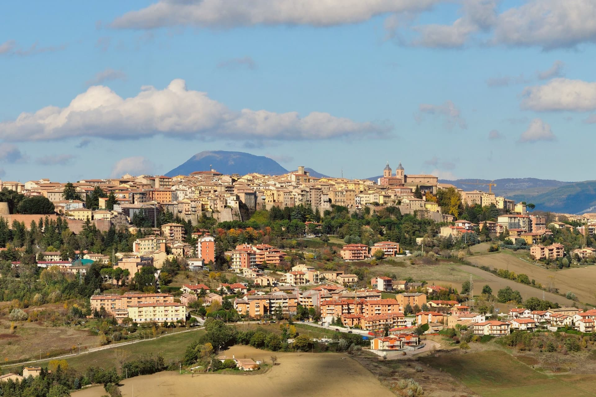
A university city at 661 meters on the ridge between the Chienti and Potenza, rebuilding after 2016.
- Best time
- May–Oct
- By car
- 1 h 13 min from Perugia
- Population
- 6,150
Known for
DA VARANO
Family that ruled Camerino from 1259 to 1539, one of the longest signorie in central Italy, with a Renaissance palazzo by Baccio Pontelli.
UNIVERSITY 1336
Founded 1336, papally recognized 1727, one of Italy's oldest universities still in operation, with around 7,000 students.
2016 EARTHQUAKE
The 30 October shock destroyed the central square buildings; the university kept operating from temporary quarters while restoration runs.
When to visit
Best · May–Oct
- J7°
- F10°
- M11°
- A14°
- M19°
- J25°
- J29°
- A28°
- S23°
- O18°
- N12°
- D9°
- Best
- Hot or crowded
- Quiet
- Mostly closed
Daytime averages, 2020–2024. Weather data by Open-Meteo.com.
The festa: Venanzio di Camerino, 18 May
Why come
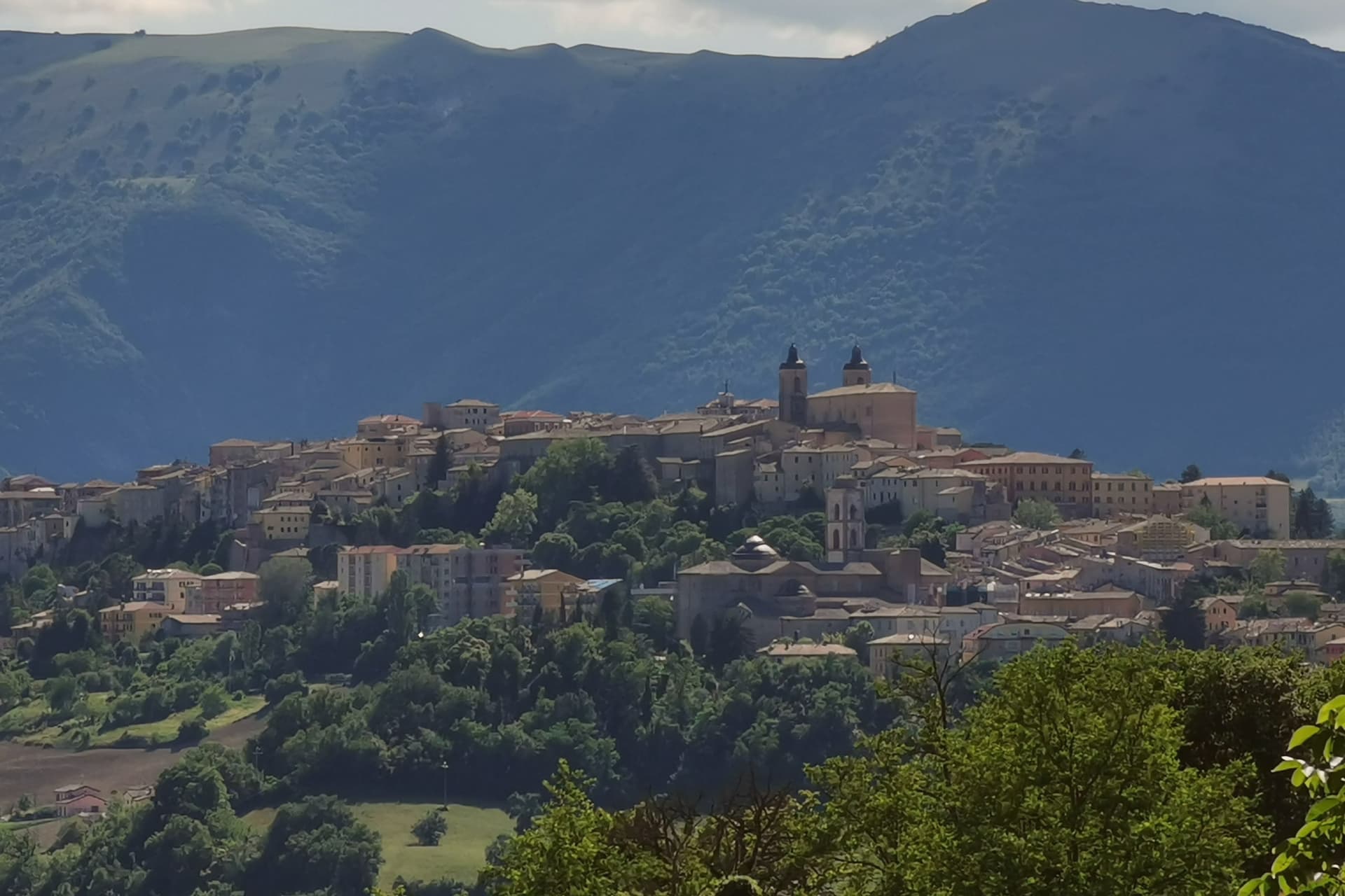
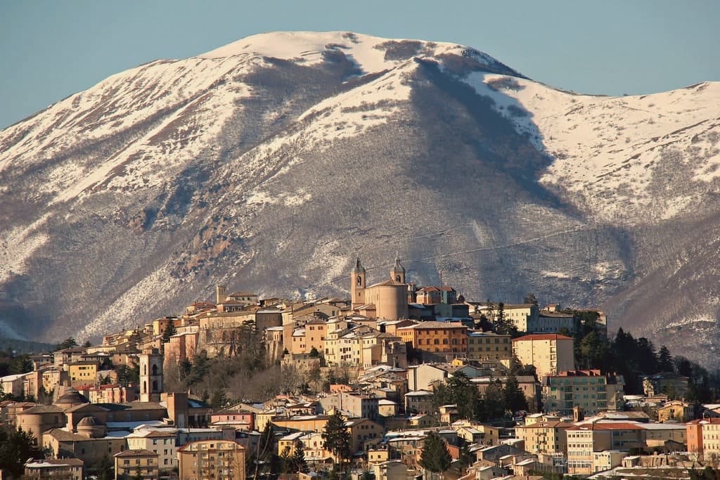
Camerino sits at 661 meters on a long ridge between the Chienti and Potenza valleys in the Marche Apennines, sixty-four kilometers from Ancona, the town strung along the high ground rather than gathered at its foot. The palazzo and the Rocca Borgesca, built in 1503 for Alessandro VI Borgia to a design by Lodovico Clodio, are joined by an underground passage, a defensive arrangement that ties the ducal residence to the fortress above it and speaks to how exposed the ridge position could feel despite its height. The cathedral stands on Piazza Cavour alongside the Palazzo Comunale, the civic and religious centers of the centro storico set side by side rather than separated.
The 30 October 2016 earthquake damaged most of the centro storico, the cathedral included, and the central square remains partly closed. The university, older than the palazzi it now partly occupies, kept teaching through temporary quarters rather than closing. What the ridge town adds up to is a place where governance, faith and learning were built close together on purpose, and where that same closeness has kept the town functioning while the stone around it is still being put back.
The Sunday letter
Camerino is on our list. Its letter is still to come.
We are writing about all 1,000 of these towns, one at a time, in a free letter every Sunday: the photo, the food, the festa. That is our mission. Sign up and you will be there when Camerino comes up. By Peter & Sophia, from Pietrasanta.

How to get there
From Ancona / Pescara (AOI), about 1h 17m by car.
Rimini (RMI) is about 2h 23m away.
By car from the centre of Perugia 1h 13m or Ancona 1h 26m.
Coming by train into Perugia? Camerino is about 1h 13m away by road.
What to see
Palazzo Ducale Da Varano
Completed in 1499 by Baccio Pontelli for Giulio Cesare Da Varano, on the model of Federico da Montefeltro's palace in Urbino, now part of the University.
Rocca Borgesca
Built 1503 by Lodovico Clodio for Alessandro VI Borgia, connected underground to the palazzo, armed with forty-two cannon when complete.
Cattedrale di Santa Maria Annunziata
Cathedral on Piazza Cavour, damaged by the 2016 earthquake, still in partial restoration; the Diocesan Museum holds artworks displaced from the nave.
Università di Camerino
Seats spread across the former ducal palazzi, the university keeps its historic core occupied even as the square around it stays under repair.
Piazza Cavour
Main square of the centro storico, with the Palazzo Comunale, the cathedral and the statue of the ruling family at the center.
The slow-trip planner
Building a trip? Find where Camerino fits in a slow Italy circuit.
Answer five questions. We will shape a geographically coherent slow trip from the 1,000 Italian towns most travelers skip. Yours to save and share.
Through the year
What happens here
Feasts and festivals that come back year after year. We give the month rather than the date, because the date moves and the month rarely does. Check with the source before you plan a journey around one.
Sagra della Panzanellafood festival
usually held in August. lemarche.it
Festa della Madonna Addoloratapatron saint's feast
usually held in September. lemarche.it
Living here
- Population 6,150
- In-betweeni
- Pharmacy in town
- High school within a 30-minute drive
- Nearest airport Ancona / Pescara, 1 h 17 min drive
- Regional capital Ancona, 1 h 25 min drive
Common questions
- What is Camerino known for?
- Camerino is a university city at 661 meters on the ridge between the Chienti and Potenza, rebuilding after 2016.
- Where is Camerino?
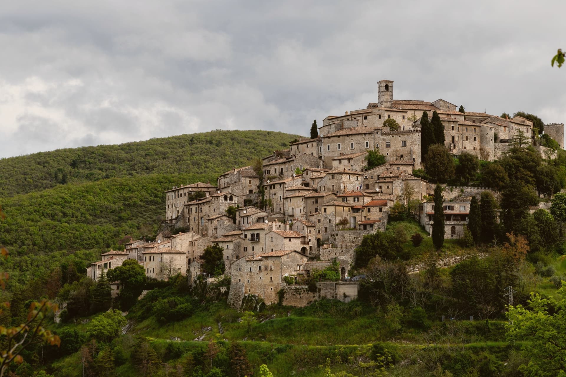
- Camerino is a comune in the province of Macerata, in Marche.
- What is the nearest airport to Camerino?
- Ancona / Pescara (AOI), about 1h 17m by car.
- How long is the drive from Perugia to Camerino?
- About 1h 13m by car.
- When is the best time to visit Camerino?
- Best in May–Oct. July is the warmest month, averaging 29 degrees, and May the wettest, with about 15 rain days.
- Is there a sagra or a festival in Camerino?
- Yes. Sagra della Panzanella and Festa della Madonna Addolorata. August is when the first of them falls.
- Which other towns are like Camerino?
- San Ginesio, Piana degli Albanesi and Carsoli.
- How many people live in Camerino?
- 6,150 at the 2023 count.
Tags & datadesignations · numbers · sources
Recognised as
The numbers
- Elevation: 661 m
- Population: 6,150
- Surface area: 129.88 km²
These figures were compiled from public directories: ISTAT, OpenStreetMap and Wikidata, and from the official listings of the guides named on this page. Town details change; verify with official sources before you travel.
Similar
Towns like Camerino
San Ginesio
Province: Macerata
both mountain-valley towns · both between 3,000 and 10,000 people
Piana degli Albanesi
Province: Palermo
both mountain-valley towns · both between 3,000 and 10,000 people
Carsoli
Province: L'Aquila
both mountain-valley towns · both between 3,000 and 10,000 people
Gizzeria
Province: Catanzaro
both mountain-valley towns · both between 3,000 and 10,000 people
Morcone
Province: Benevento
both mountain-valley towns · both between 3,000 and 10,000 people
Gesualdo
Province: Avellino
both mountain-valley towns · both between 3,000 and 10,000 people
🟠 Bandiera Arancione
More Bandiera Arancione towns in Marche
Acquaviva Picena
Province: Ascoli Piceno
A walled hill borgo at 359 meters, six kilometers from the Adriatic, anchored by a cylindrical fortress keep and the surviving pajarola craft.
Amandola
Province: Fermo
A Sibillini gateway at 550 meters on three hills above the Tenna valley, founded 1248 and damaged but not levelled in 2016.
Cantiano
Province: Pesaro e Urbino
A border borgo at 374 meters under Monte Catria, known for the Good Friday Turba and the sour-cherry visciola harvest.
Cingoli
Province: Macerata
The Balcone delle Marche at 631 meters, a hilltop borgo where on clear days the view runs from the Sibillini to the Croatian coast.
Corinaldo
Province: Ancona
A walled hill borgo at 203 meters, ringed by 912 meters of intact medieval walls, and the birthplace of Saint Maria Goretti.