
Sicily · Agrigento
Sambuca di Sicilia
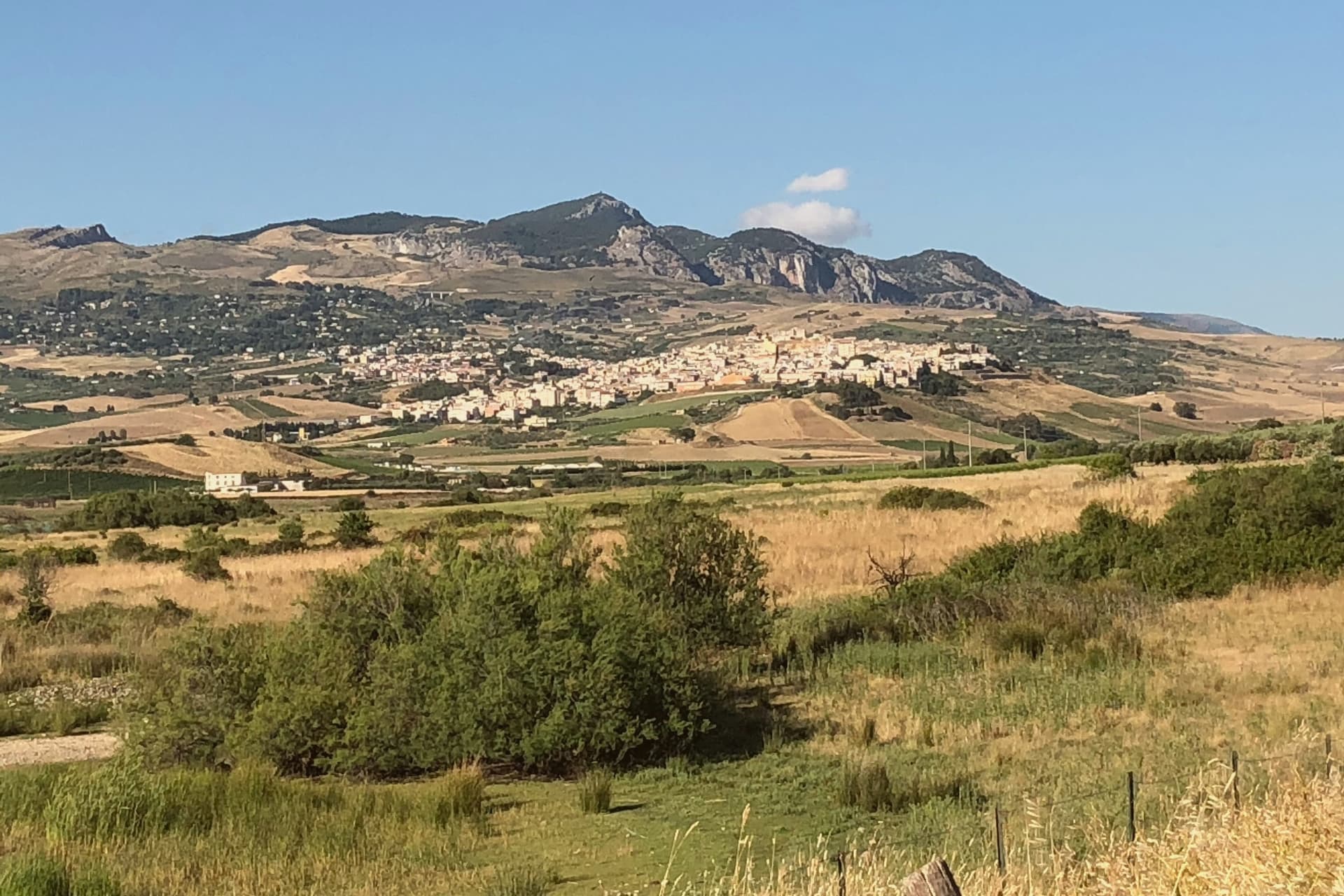
An Arab-founded hill town in the Belice valley, still called Zabut in living memory before 1923.
- Best time
- Apr–Jun, Sep–Nov
- By car
- 1 h 21 min from Palermo
- By train
- Station in the comune
- Population
- 5,341

Known for
BORGO DEI BORGHI 2016
Won the RAI competition in 2016, which drew international press and a wave of one-euro house buyers to the Arab quarter.
SETTI VANEDDI
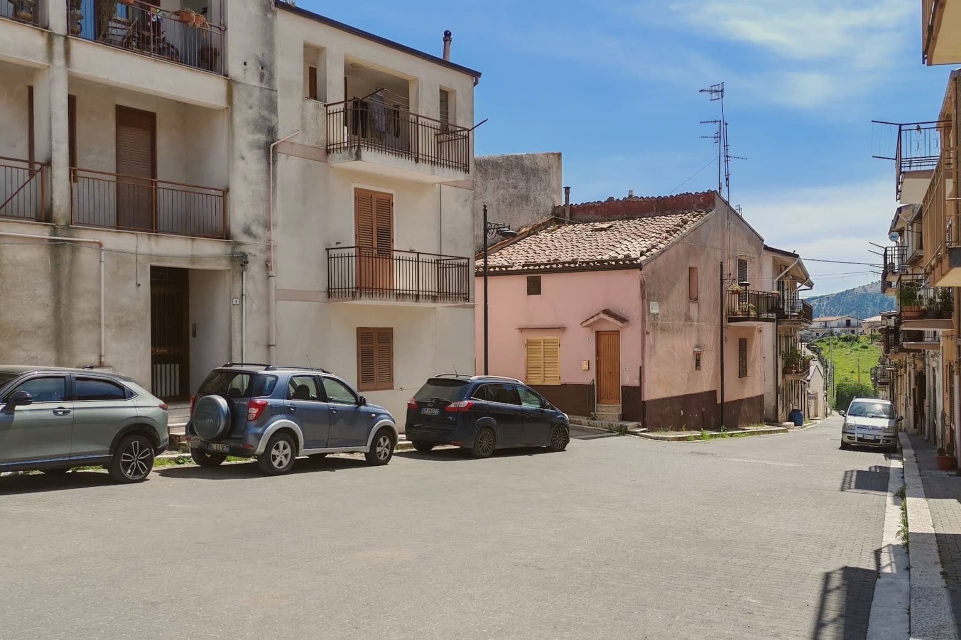
The seven Saracen alleys laid out by Emir Al-Zabut in 827, the oldest intact Arab street grid surviving in Sicily.
MENFI DOC WINES
Nero d'Avola and Cataratto grown on the slopes above Lake Arancio, vinified by Cantine Settesoli and the smaller Planeta and Di Giovanna estates.
DOP ZONES
The commune lies inside the Val di Mazara and Vastedda della valle del Belìce DOP production zones.
When to visit
Best · Apr–Jun, Sep–Nov
- J13°
- F14°
- M15°
- A18°
- M23°
- J29°
- J33°
- A32°
- S27°
- O23°
- N18°
- D14°
- Best
- Hot or crowded
- Quiet
- Mostly closed
Daytime averages, 2020–2024. Weather data by Open-Meteo.com.
Why come
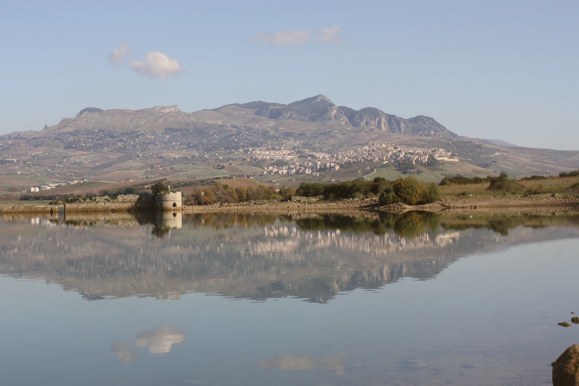
The town sits on a hill above the Belice valley, sixty-eight kilometers southwest of Palermo, overlooking the Sicani hills and the reservoir below. Frederick II conquered the town, then still called Zabut, in the thirteenth century, and it carried that Arab name as Sambuca Zabut until 1923, when the suffix was officially dropped. The upper town holds the old Arab core, its stone houses and courtyards laid along the alleys founded by the emir, while the lower ground toward the reservoir carries the fortress that once took his name and now stands part underwater, and the vineyards that supply the Menfi DOC.
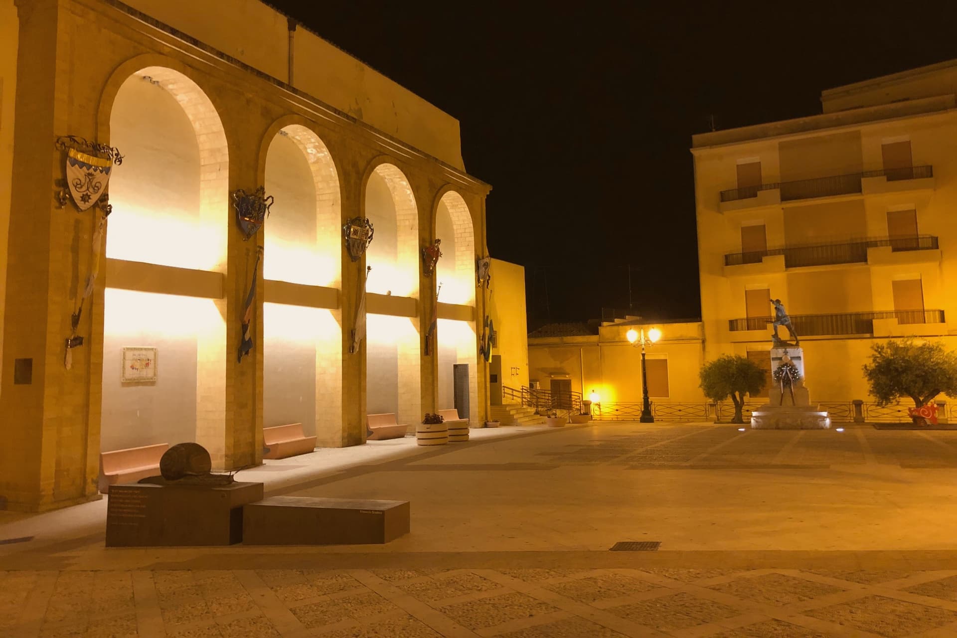
Earthquake damage in 1968 reached the upper town and required rebuilding the mother church on the central piazza. The name, the water, and the stone all trace back to the same ninth-century founding: a town that took an Arab ruler's name, kept it for over a thousand years, and only shed it in the twentieth century, while the fortress he built still marks the water's edge below.
The Sunday letter
Sambuca di Sicilia is on our list. Its letter is still to come.
We are writing about all 1,000 of these towns, one at a time, in a free letter every Sunday: the photo, the food, the festa. That is our mission. Sign up and you will be there when Sambuca di Sicilia comes up. By Peter & Sophia, from Pietrasanta.
Read on
Sambuca di Sicilia in our articles
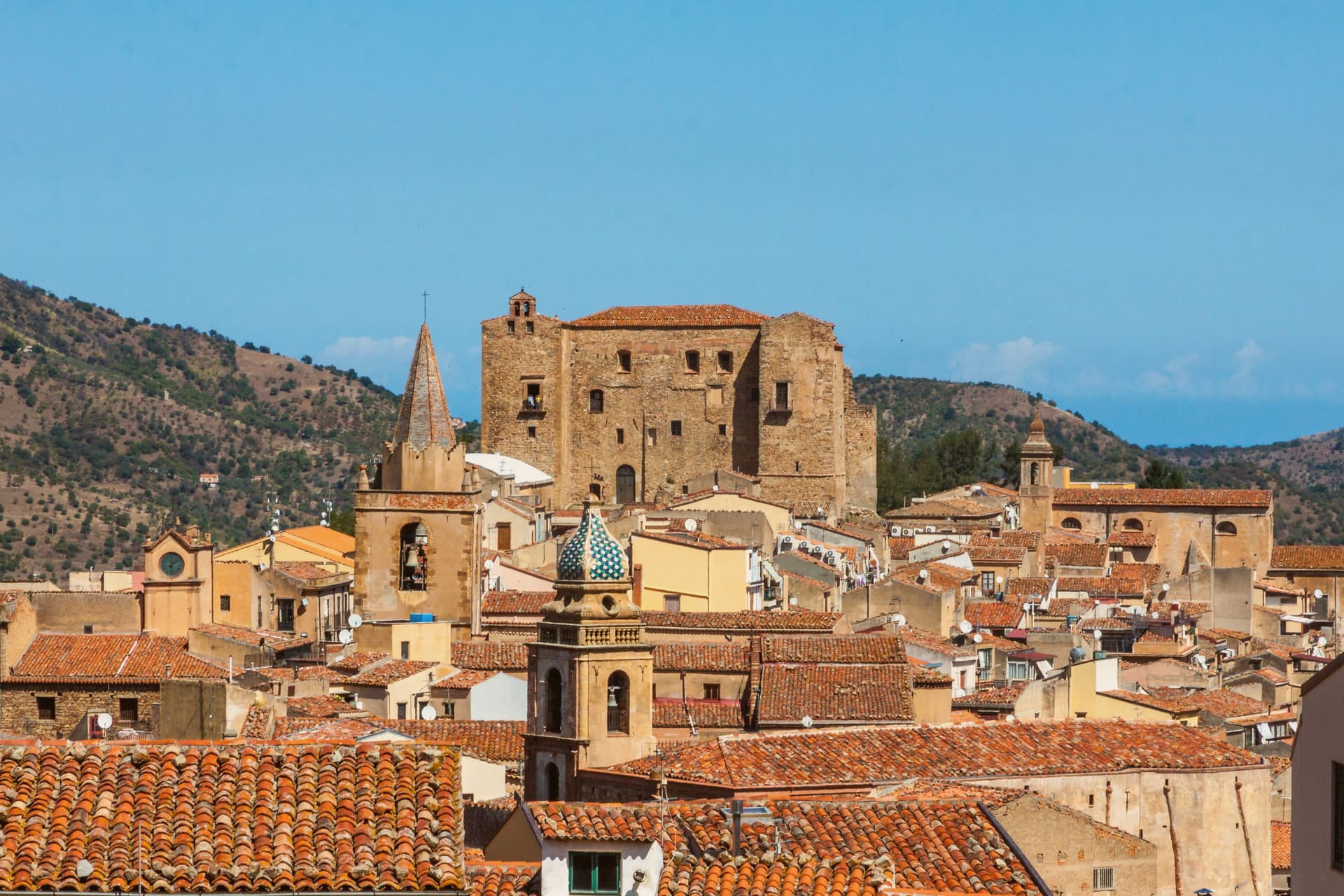 The best towns you can reach by train within 90 minutes of Palermo6 towns, Sambuca di Sicilia among them.
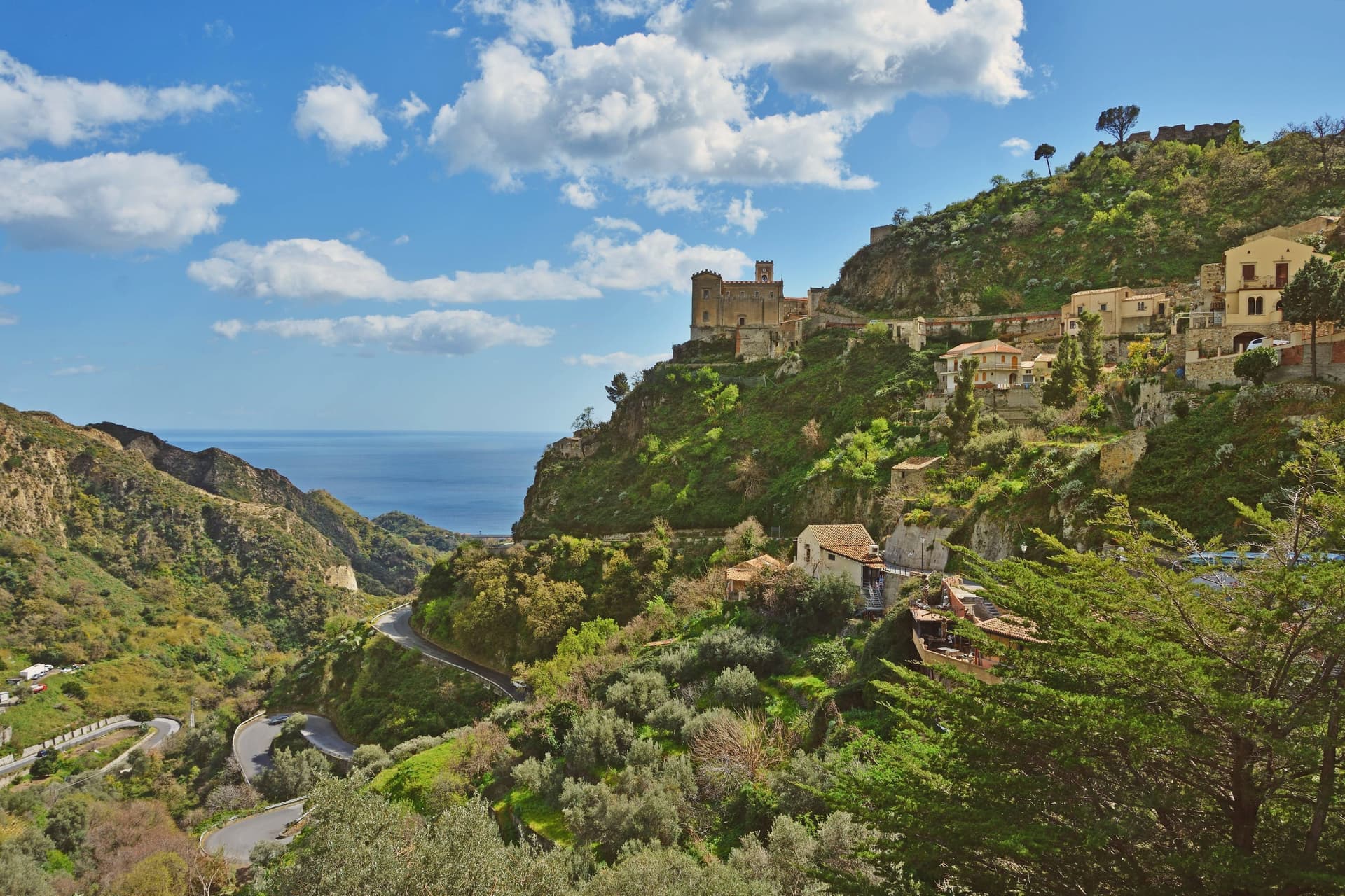 The prettiest villages you can reach by train in Sicilia6 towns, Sambuca di Sicilia among them.
 The prettiest villages inside a nature park in Sicilia7 towns, Sambuca di Sicilia among them.
 The best hill towns within 90 minutes of Palermo8 towns, Sambuca di Sicilia among them.
How to get there
From Catania (CTA), about 3h 50m by car.
By car from the centre of Palermo 1h 21m.
There is a railway station in the comune, so you can arrive without a car.
Coming from Palermo?
Coming by train into Palermo Centrale? Sambuca di Sicilia is about 1h 20m away by road.
What to see
Li Setti Vaneddi
Narrow stone lanes opening into inner courtyards at the core of the Arab quarter, still recognizable underfoot as the same grid laid out by the emir.
Castello di Mazzallakkar
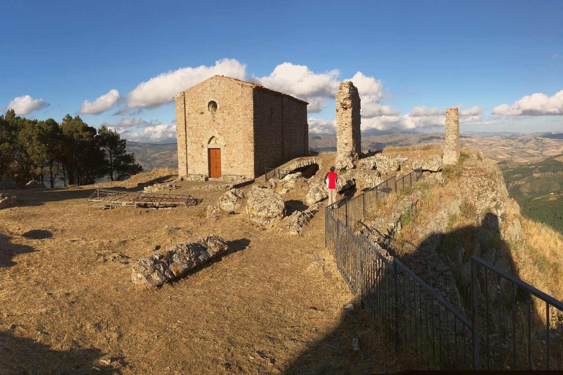
Square fortress with four corner towers, standing half-submerged at the southern edge of Lake Arancio since the reservoir was filled.
Lago Arancio
Reservoir fed by the Carboj river, formed in 1952 and used today for sport fishing and irrigation of the surrounding vineyards.
Chiesa della Concezione
Eighteenth-century mother church on the central piazza, restored after the 1968 Belice earthquake that damaged much of the upper town.
Monte Adranone
Greek and Sicanian site eight kilometers from town at 1,000 meters, with a sixth-century BC necropolis and city walls, well outside the Arab core that defines the center.
The slow-trip planner
Building a trip? Find where Sambuca di Sicilia fits in a slow Italy circuit.
Answer five questions. We will shape a geographically coherent slow trip from the 1,000 Italian towns most travelers skip. Yours to save and share.
Living here
- Population 5,341
- Remotei
- Pharmacy in town
- High school within a 30-minute drive
- Train station in the comune
- Nearest airport Catania, 3 h 50 min drive
- Regional capital Palermo, 1 h 21 min drive
Common questions
- What is Sambuca di Sicilia known for?
- Sambuca di Sicilia is an Arab-founded hill town in the Belice valley, still called Zabut in living memory before 1923.
- Where is Sambuca di Sicilia?
- Sambuca di Sicilia is a comune in the province of Agrigento, in Sicily, at 350 meters above sea level.
- What is the nearest airport to Sambuca di Sicilia?
- Catania (CTA), about 3h 50m by car.
- Can you get to Sambuca di Sicilia without a car?
- Yes. There is a railway station in the comune, so you can arrive by train.
- How long is the drive from Palermo to Sambuca di Sicilia?
- About 1h 21m by car.
- When is the best time to visit Sambuca di Sicilia?
- Best in Apr–Jun, Sep–Nov. July is the warmest month, averaging 33 degrees, and November the wettest, with about 14 rain days.
- Which other towns are like Sambuca di Sicilia?
- Castelbuono, Cammarata and Corleone.
- How many people live in Sambuca di Sicilia?
- 5,341 at the 2023 count.
Tags & datadesignations · numbers · sources
Recognised as
The numbers
- Elevation: 350 m
- Population: 5,341
- Surface area: 96.37 km²
These figures were compiled from public directories: ISTAT, OpenStreetMap and Wikidata, and from the official listings of the guides named on this page. Town details change; verify with official sources before you travel.
Similar
Towns like Sambuca di Sicilia
Castelbuono
Province: Palermo
both inland in Sicily · both between 3,000 and 10,000 people
Cammarata
Province: Agrigento
both inland in Sicily · both between 3,000 and 10,000 people
Corleone
Province: Palermo
both inland in Sicily · both hill towns
Sortino
Province: Siracusa
both inland in Sicily · both between 3,000 and 10,000 people
Guglionesi
Province: Campobasso
both between 3,000 and 10,000 people · both hill towns
Larino
Province: Campobasso
both between 3,000 and 10,000 people · both hill towns
🎨 Borghi più belli d'Italia
More Borghi più belli d'Italia towns in Sicily
Agira
Province: Enna
Birthplace of the Greek historian Diodorus Siculus and burial site of 490 Canadian soldiers of the 1943 campaign.
Buccheri
Province: Siracusa
The highest village in the province of Syracuse, world capital of Tonda Iblea olive oil at the 2015 Sol d'Oro.
Calascibetta
Province: Enna
A promontory town at 691 meters facing Enna across a ravine, founded in the ninth century as a Muslim camp to besiege Byzantine Henna.
Castelmola
Province: Messina
A rock village at 529 meters directly above Taormina, the upper acropolis of ancient Tauromenium with a Norman castle and a 1947 almond-wine bar.
Castiglione di Sicilia
Province: Catania
A hill town on the north flank of Etna at 621 meters, base camp for the Alcantara valley and the volcano's most serious red wines.