
The prettiest villages inside a nature park in Sicilia
Sicily has mountains, and they surprise people who came for the sea. In the Madonie the beech woods turn copper in November and the bread is baked in wood ovens; on Etna the houses are built of black lava block, the vines grow on terraces of volcanic sand, and the pistachio and the wine both taste of the mountain they came from. The Nebrodi keep their own cheeses, provola and maiorchino, and their own black pigs foraging under the oaks. Spring brings wildflowers across the high pasture, and by late summer the ridge villages are cool while the coast is still baking. Stone, chestnut, ricotta, altitude: it is a different Sicily from the postcard.
The usual route runs Palermo, Taormina, Siracusa, with a day trip up Etna from the coast, and in July and August the cable car queue at Rifugio Sapienza and the main street of Taormina absorb most of the island's visitors at once. There are reasons for it. Taormina's Greek theatre with the volcano behind it is one of the great sights of the Mediterranean, and Siracusa's Ortigia is worth every hour given to it. But the crowd concentrates in a handful of places while the parks that cover much of the island's interior stay comparatively empty.
The same volcano, the same limestone ridges and the same kitchens continue inland, into the Parco dell'Etna, the Parco delle Madonie and the Parco dei Nebrodi, and that is where these villages are. Fewer people go, partly because a car is needed and partly because nobody puts them on the standard week. What you get instead is a hill town inside a protected landscape, with walking from the edge of the houses, a bar that opens early for shepherds, and food that belongs to the altitude rather than to the coast.
Of the 61 communes we have mapped in Sicilia, 7 qualify as prettiest villages inside a nature park: each has passed the national assessment of Italy's most beautiful villages, and each sits inside a regional nature park. The smallest, Geraci Siculo, has 1,702 residents.
Elsewhere in the catalogue: The best small towns inside a nature park in Sicilia and The best towns inside a nature park that eat well in Sicilia.
Geraci Siculo
Why visit Geraci Siculo
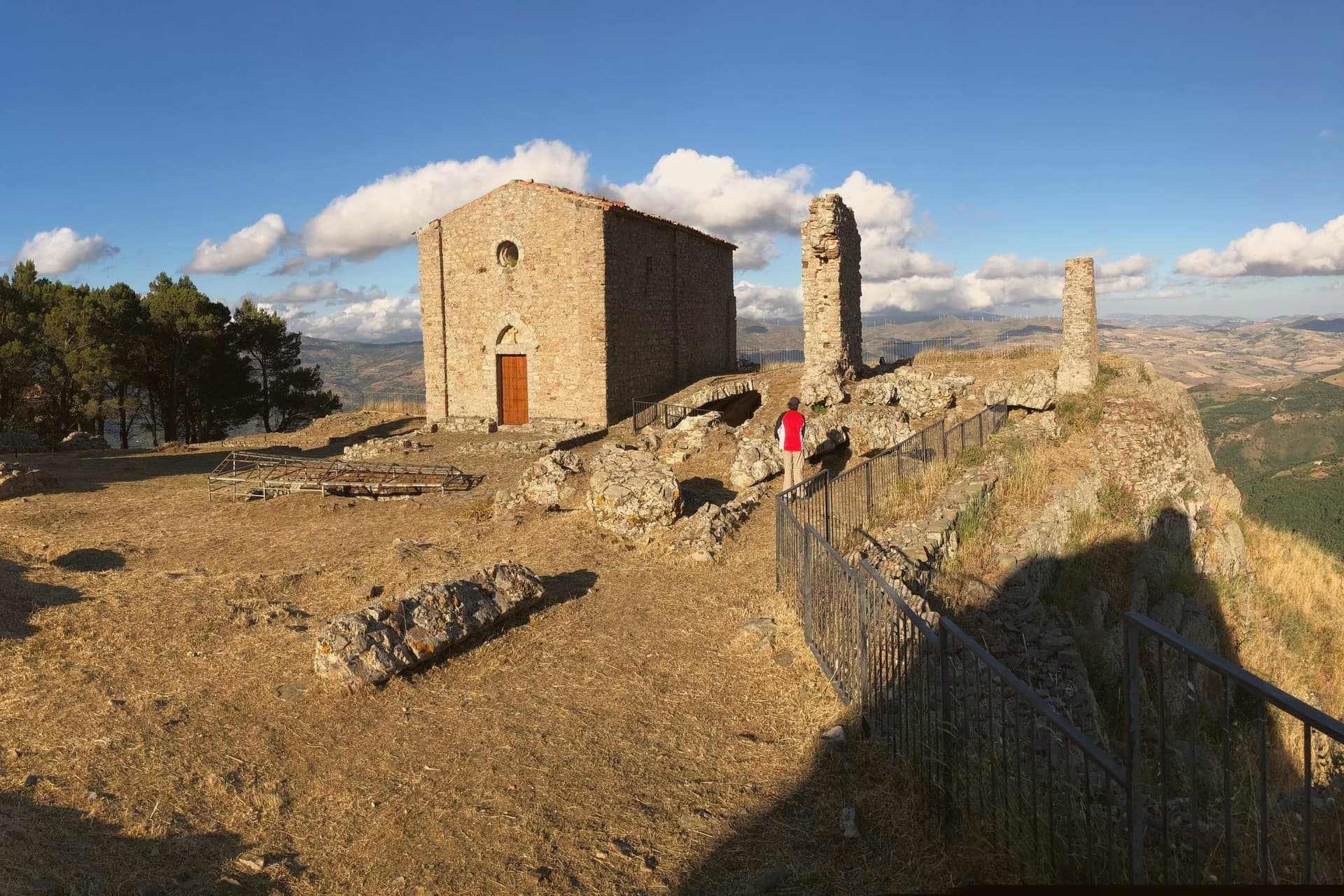
Geraci Siculo sits at 1,077 meters on a sandstone ridge in the Madonie, the highest borgo of the Parco delle Madonie and one of the highest in Sicily. The first fortified nucleus dates to the mid-eighth century, when Byzantines retreated inland to escape Arab raids.
After the Norman conquest Roger I of Hauteville created the County of Geraci in 1072 and gave it to the Ventimiglia family; in 1258 the county was elevated to the first marquisate granted in Sicily. The Castello dei Ventimiglia, on the massive sandstone rock above the village, reached its definitive form in the early fourteenth century and still dominates the skyline.
From the ridge the view runs from Etna in the southeast to the Aeolian Islands in the north. The Madonie pasture economy underwrites the local cheese, particularly provola dei Nebrodi and ricotta from sheep flocks on the surrounding peaks.
The village placed third in the national Borgo dei Borghi competition.
What to see in Geraci Siculo
- Castello dei Ventimiglia. Fourteenth-century castle on a sandstone outcrop above the village, the high point of the marquisate of Geraci from 1258.
- Chiesa Madre di Santa Maria Maggiore. Mother church at the centre of the village, with Renaissance and Baroque elements and works recovered from the Ventimiglia chapel.
- Centro storico. Medieval Madonie layout of stone houses on the ridge, with stepped lanes and narrow piazzas oriented to the castle rock.
How to get to Geraci Siculo
Palermo is roughly 106 minutes away by road.
Our tip
Geraci Siculo runs on alpine seasons: June through September is the summer window, when the ridge stays cool, the wildflowers cover the high pasture, and Etna is visible from the castle. December through March is the winter window, when snow falls on the Madonie peaks and the village turns to its cheese and slow-cooked food. April, May, October and November are quiet shoulder months, with fog rolling in off Pizzo Carbonara and many trattorie shut. Giostra dei Ventimiglia a Geraci Siculo falls in August.
San Marco d'Alunzio
Why visit San Marco d'Alunzio
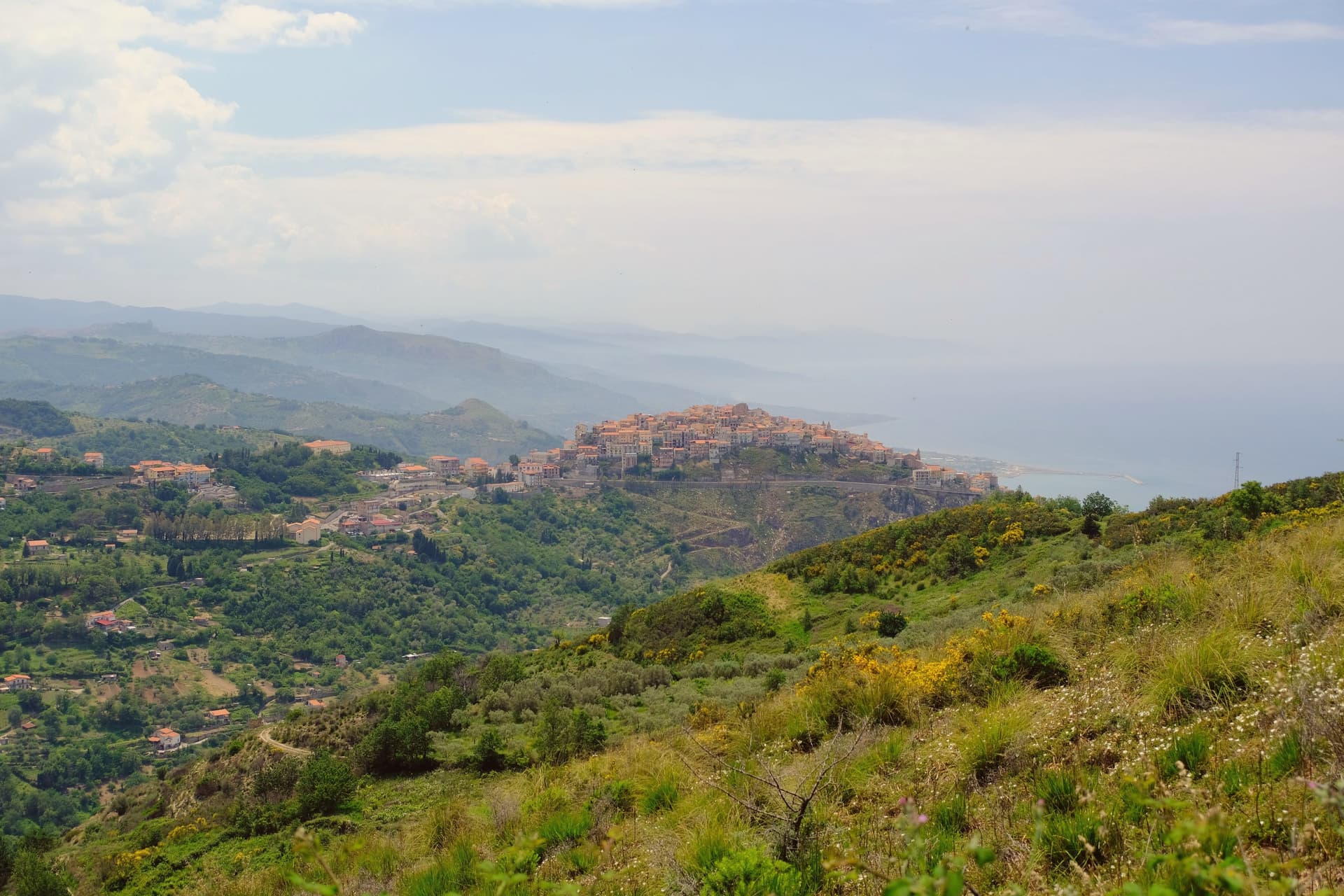
The borgo sits on Mt. Castro, five kilometers from the Tyrrhenian coast.
The Greeks founded it as Alontion, prosperous enough to mint its own currency, and the settlement they built has never fully left: what they raised became the base for what came after, layer on layer, rather than being cleared away for it. The upper town holds the ruins on Monte Rotondo, the lookout that gave the Normans command of the coast below.
The historic center, walled and compact, holds twenty-two churches and is listed among the Borghi più belli d'Italia. Through all of it runs the same pink stone, quarried on the surrounding hills, cut for church interiors, piazza fountains and, beyond the town itself, for the interior of the Messina town hall.
A place built repeatedly from its own ground: Greek temple, Norman stronghold and marble borgo standing on the same hill in the same rose-colored rock.
What to see in San Marco d'Alunzio
- Tempio di Ercole. The foundations sit beneath the Chiesa di San Marco, making it the oldest visible structure in the borgo, its stones absorbed into the later church above.
- Ruderi del Castello Normanno. Ruins on Monte Rotondo above the village, standing as the lookout point over the Tyrrhenian coast.
- Chiesa di Santa Maria delle Grazie (Aracoeli). Renaissance church built entirely in the local rose-colored stone, with elaborate marble carvings inside the chapel.
How to get to San Marco d'Alunzio
Messina is roughly 85 minutes away by road.
Our tip
April through June and September through November are the best months. The 540-meter ridge stays cooler than the Tyrrhenian below, the pink Aluntina stone catches the afternoon light, and the climb up to the Norman castle ruins is easy in dry weather. July and August are hot but the centro storico shaded streets give shelter.
Castiglione di Sicilia
Why visit Castiglione di Sicilia
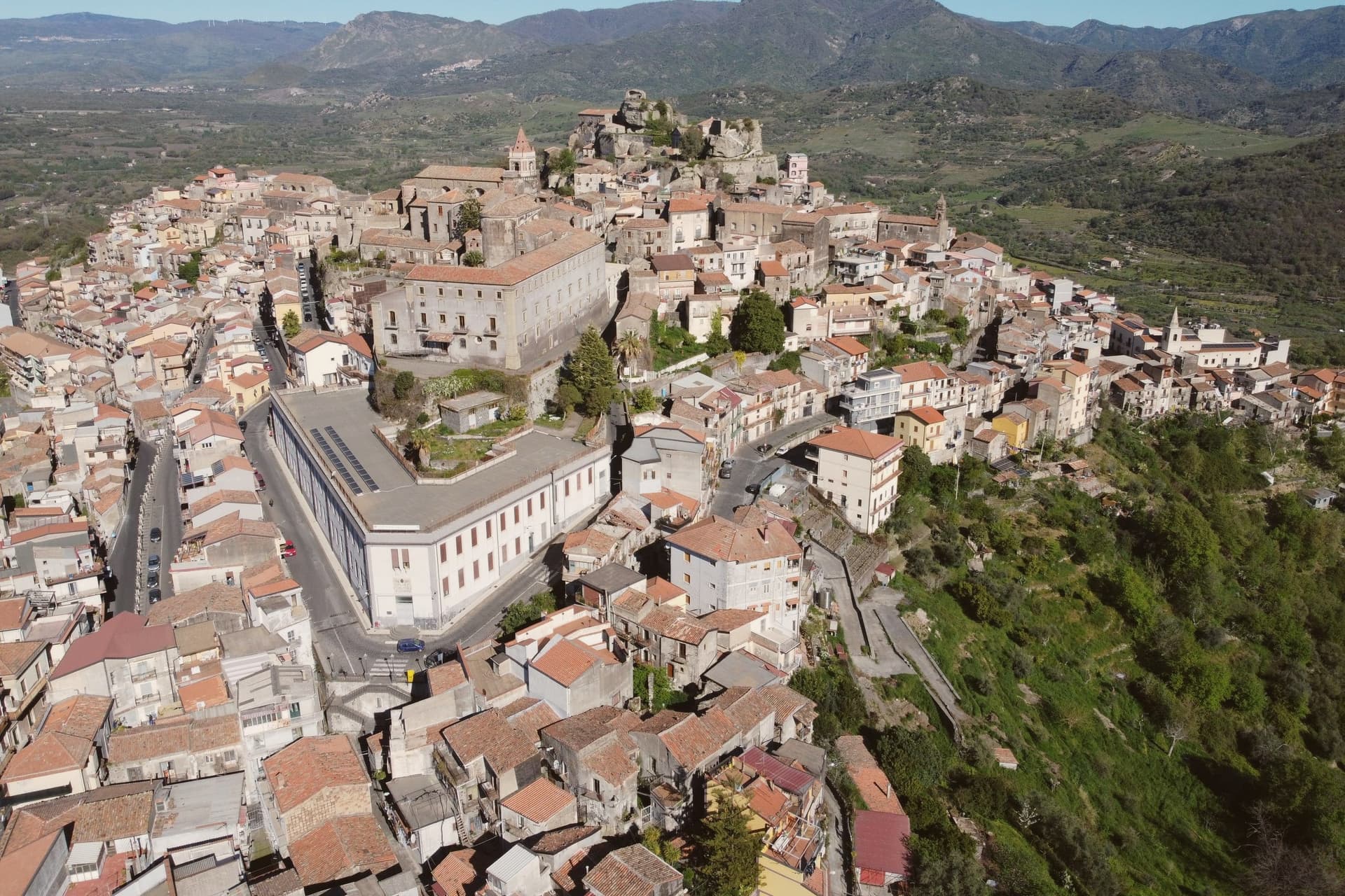
The town looks down the Alcantara river valley between Randazzo and Taormina, its position fixed by Norman count Roger I, who documented it in 1092 as Castrileonis, the great castle. That name still fits the territory more than the town itself: the commune's boundary runs uphill from the historic centre all the way to the summit of Etna, taking in the north-east crater, so the same municipality holds a huddle of streets at 621 meters and a stretch of active volcano above it.
The hills below the centre are the heart of the Etna DOC. Nerello Mascalese and Nerello Cappuccio grow on the volcanic soils around the village, with Carricante carrying the whites, and bottles from Cottanera, Passopisciaro, Tenuta delle Terre Nere and the Alcantara producers all ship from here.
Twenty minutes downhill the Alcantara has cut its gorges through the same lava that feeds those vineyards, basalt walls shaped by water where the fields above are shaped by the grape. Town, castle, vineyard and gorge read as one continuous volcanic system, worked over centuries into a fortress, a wine region and a river cut.
What to see in Castiglione di Sicilia
- Castello di Lauria. The fortress stands on its basalt outcrop above the town, its walls carrying the weight of two rebuildings by Ruggero di Lauria's crews. The rooms now hold the Enoteca Regionale for eastern Sicily, so the same stone that once watched for approach up the valley now stores the bottles made from the vines below it.
- Cuba Bizantina di Santa Domenica. Small Byzantine cube-shaped church, seventh to ninth century, in the rural outskirts of the commune, one of the oldest surviving structures in the Etna area.
- Gole dell'Alcantara. Basalt gorges carved by the Alcantara river through prismatic lava columns, around twenty minutes downhill from the centro storico.
How to get to Castiglione di Sicilia
There is a railway station in the town, so you can arrive without a car and never need one while you are here. Catania is roughly 49 minutes away by road.
Our tip
May through October are the working months on Etna nord. Vineyard tours start in June, harvest runs late September through mid-October on the higher contrade, and the slopes turn red and gold into early November. July and August on Etna are bearable at 621 meters: nights drop to seventeen degrees, far cooler than Catania.
Petralia Soprana
Why visit Petralia Soprana
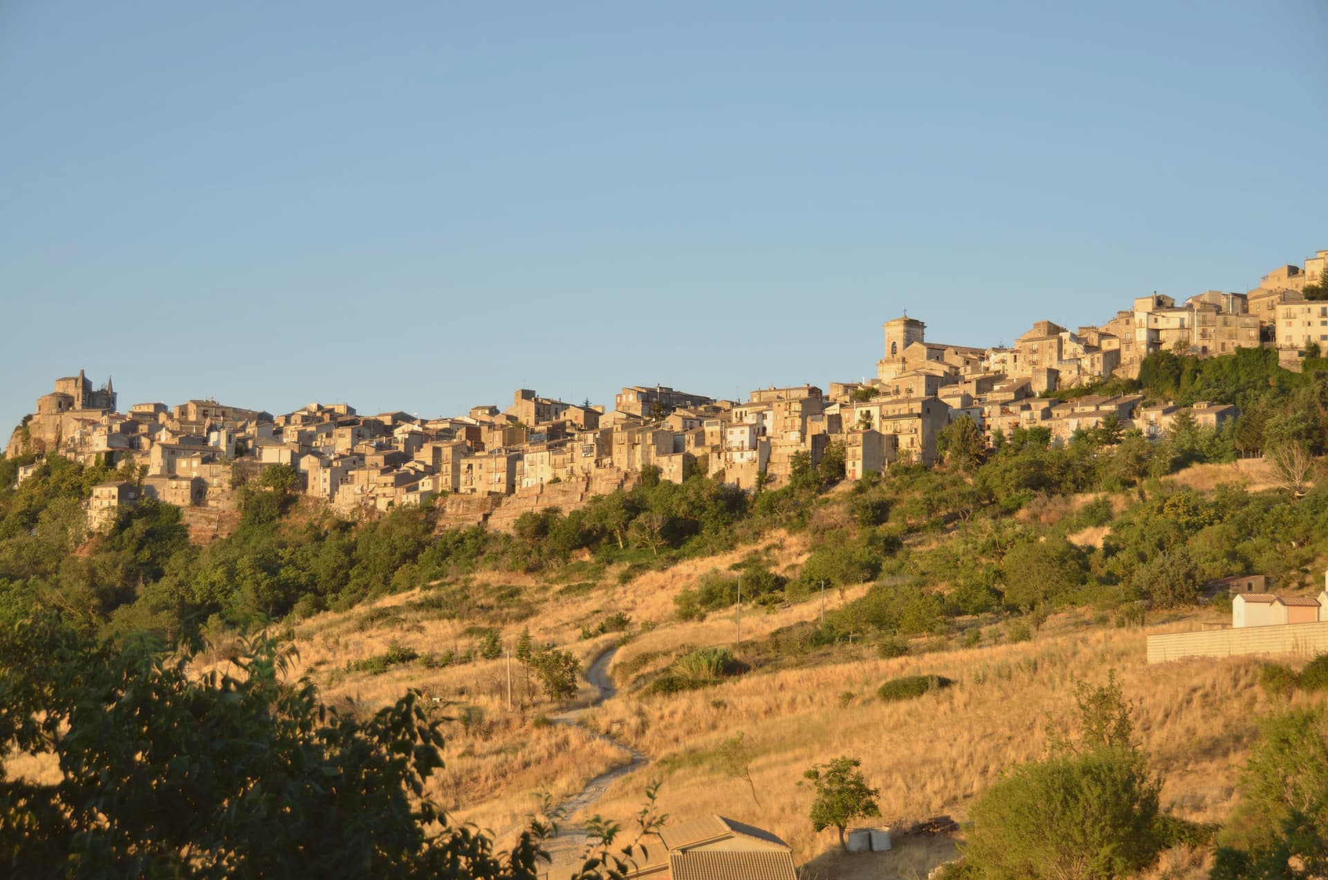
Petralia Soprana sits at 1,147 meters at the heart of the Madonie Natural Park, the highest commune in the range. The town and its lower twin Petralia Sottana grew from the Roman Petra, then took its current form under the Normans, who fortified the ridge.
The Chiesa Madre, dedicated to Saints Peter and Paul, dates to the fifteenth century and faces Piazza Duomo with a clear view across the Madonie. Below the village, the Raffo salt mine runs 80 kilometers of tunnels through one of the largest salt deposits in Europe, mined since at least the fourteenth century; the active mine now hosts MACSS, a contemporary art museum carved into the salt, one of a kind worldwide.
RAI named Petralia Soprana Borgo dei Borghi in 2018, the year of the salt mine's wider opening to the public. The stone streets, the mountain air at 1,147 meters, and the salt below the floor are the three things the village trades on.
What to see in Petralia Soprana
- Chiesa Madre (Santi Pietro e Paolo). Fifteenth-century mother church on Piazza Duomo, central monument of the village, with a baroque interior added after the 1693 earthquake.
- Miniera di Sale di Raffo. Active salt mine below the village with 80 km of tunnels in one of Europe's largest salt deposits, worked since the fourteenth century.
- MACSS — Museo Arte Contemporanea Sotto Sale. Contemporary art museum inside the active Raffo salt mine, sculptures cut directly into rock salt walls, the only museum of its kind worldwide.
How to get to Petralia Soprana
Palermo is roughly 88 minutes away by road.
Our tip
June through September brings dry mountain weather, ridge trails open across the Madonie, and temperatures stay below twenty-five even when Palermo touches forty. The salt mine and MACSS run all year, lit and warm inside. December through March catches snow at 1,147 meters and the village fills briefly with day-trippers from Cefalù coming up to see white roofs. Sagra del Grano a Pianello - Petralia Soprana falls in August.
Sambuca di Sicilia
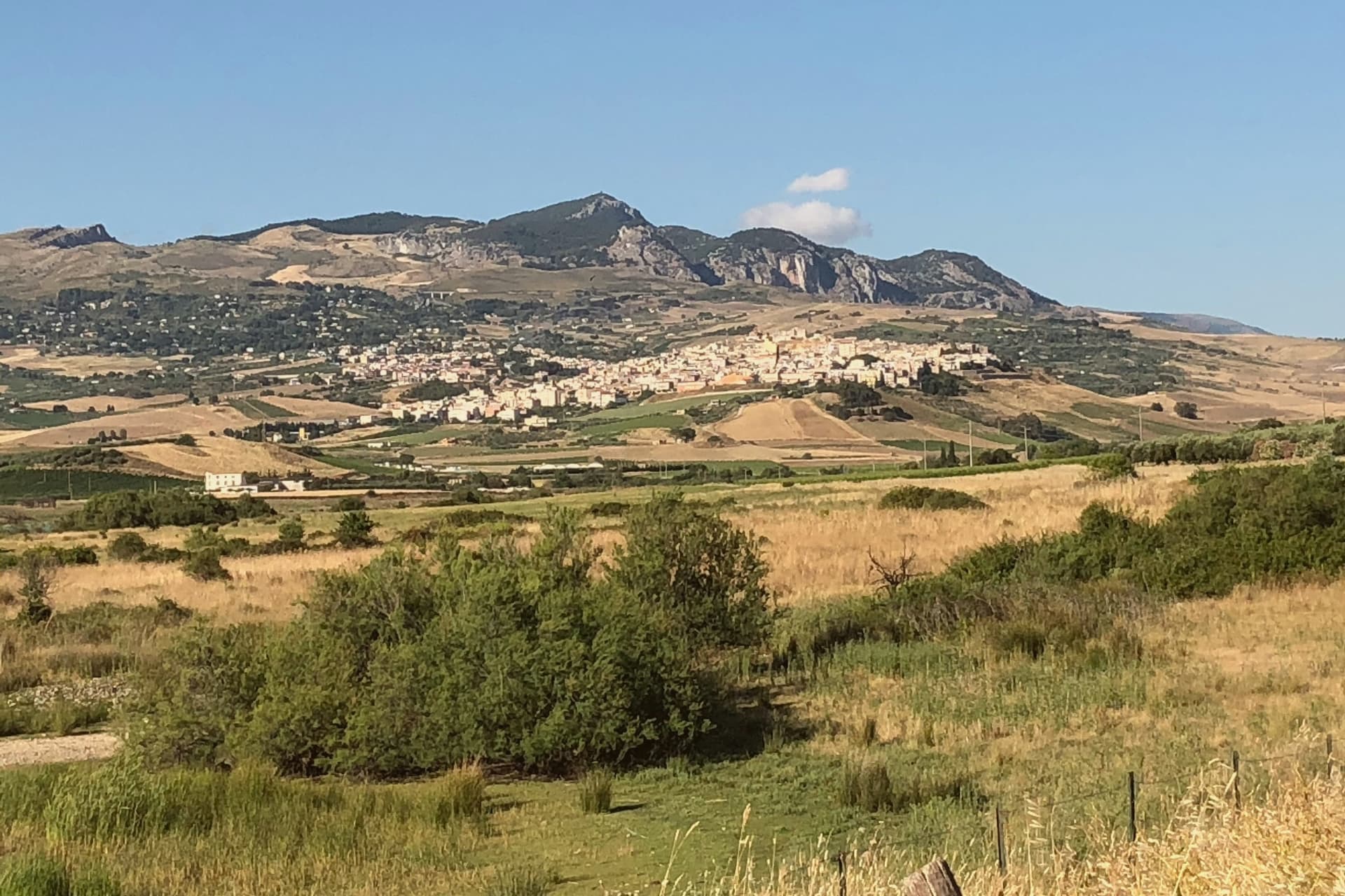
Why visit Sambuca di Sicilia
The town sits at 350 meters on a hill above the Belice valley, sixty-eight kilometers southwest of Palermo, overlooking the Sicani hills and the reservoir below. Frederick II conquered the town, then still called Zabut, in the thirteenth century, and it carried that Arab name as Sambuca Zabut until 1923, when the suffix was officially dropped.
The upper town holds the old Arab core, its stone houses and courtyards laid along the alleys founded by the emir, while the lower ground toward the reservoir carries the fortress that once took his name and now stands part underwater, and the vineyards that supply the Menfi DOC. Earthquake damage in 1968 reached the upper town and required rebuilding the mother church on the central piazza.
The name, the water, and the stone all trace back to the same ninth-century founding: a town that took an Arab ruler's name, kept it for over a thousand years, and only shed it in the twentieth century, while the fortress he built still marks the water's edge below.
What to see in Sambuca di Sicilia
- Li Setti Vaneddi. Narrow stone lanes opening into inner courtyards at the core of the Arab quarter, still recognizable underfoot as the same grid laid out by the emir.
- Castello di Mazzallakkar. Square fortress with four corner towers, standing half-submerged at the southern edge of Lake Arancio since the reservoir was filled.
- Lago Arancio. Reservoir fed by the Carboj river, formed in 1952 and used today for sport fishing and irrigation of the surrounding vineyards.
How to get to Sambuca di Sicilia
There is a railway station in the town, so you can arrive without a car and never need one while you are here. Palermo is roughly 81 minutes away by road.
Our tip
April through June and September through November are the right windows for Sambuca. The inland Sicani hills hold dry heat in summer, regularly past thirty-five degrees in July and August, and the centro storico shuts itself down between two and five in the afternoon. October is harvest in the surrounding vineyards and the air clears enough to see Monte Adranone from the upper piazza.
Troina
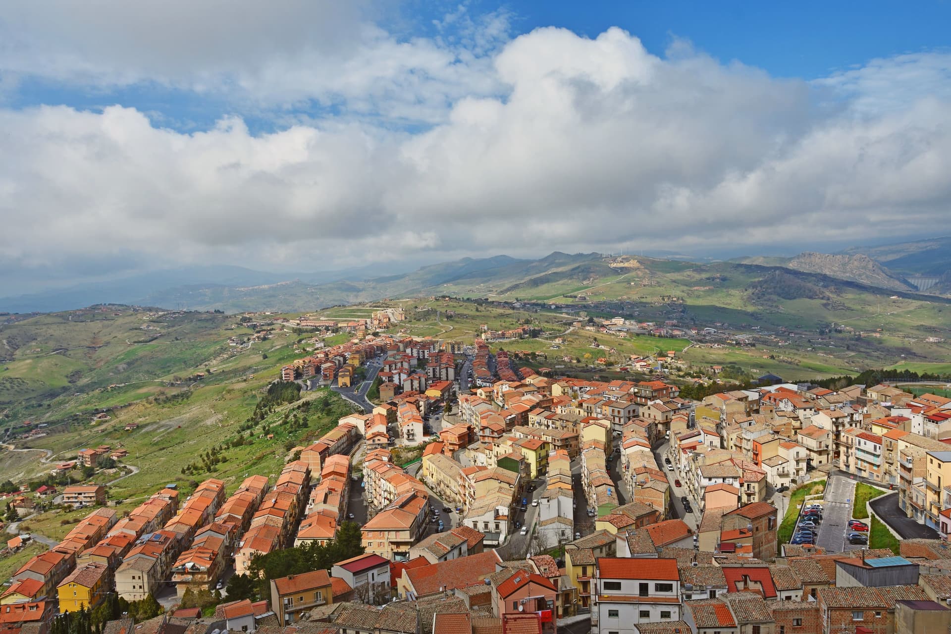
Why visit Troina
Troina sits at 1,121 meters on the southern edge of the Nebrodi, one of the highest commune centers in Sicily, with Etna visible to the east on clear days. The area was settled in the seventh millennium BC and the urban core dates to the fourth century BC.
In 1061 Roger I took the Saracen castle here and made the town the first political and military base of the Norman conquest of the island. The Diocese of Troina, established in 1082, was the first Sicilian bishopric founded after centuries of Arab rule.
The Chiesa Madre, dedicated to Maria Santissima Assunta, stands at the highest point of the town with its Norman tower still intact, the earliest Norman cathedral built in Sicily. Below the centro storico, the ruins of the Basilian monastery of San Michele Arcangelo, endowed by Count Roger, sit on an outcrop above the Fiume sotto di Troina valley.
The Nebrodi Park surrounds the commune on three sides.
What to see in Troina
- Chiesa Madre (Maria Santissima Assunta). First Norman cathedral built in Sicily, founded under Roger I after 1061, with its original Norman bell tower still standing at the highest point of the centro storico.
- Castello di Troina. Medieval fortress taken from the Saracens by Roger I in 1061 and used as the political and military base of the Norman conquest of Sicily; partial walls and towers survive.
- Monastero di San Michele Arcangelo. Ruined Basilian monastery on a rocky outcrop below the town, endowed by Count Roger after the conquest and one of the oldest Norman monastic foundations on the island.
How to get to Troina
Catania is roughly 61 minutes away by road.
Our tip
June through September brings dry highland weather, ridge trails open across the Nebrodi, and temperatures stay below thirty even when the Sicilian coast burns. December through March is the second season: Troina's altitude catches snow, and the Nebrodi roads close for storms but the town itself stays open. April, May, October and November are quiet and often wet, the wind sharp on the ridge, with many guesthouses shut.
Cefalù
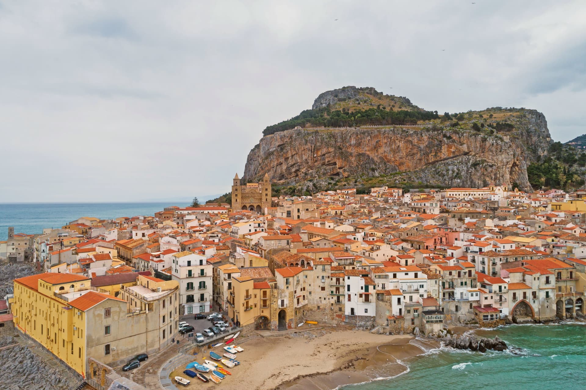
Why visit Cefalù
Cefalù sits 70 kilometers east of Palermo where the Madonie meet the Tyrrhenian, the old town built on a strip of land between the sea and the headland that gave the place its name. The Greeks called it Kephaloidion in the fourth century BC.
Roger II refounded the town at the foot of the rock in 1131 and began the cathedral the same year; tradition holds he vowed to build it after surviving a storm offshore. Its mosaics were executed by masters he brought from Constantinople.
The old town keeps the cathedral, the museum, and the working port within the same short walk, the stone lanes running straight down from the Duomo's square to the sea and the lavatoio fed by its own spring along the way. The beach runs below on one side, the rock rises behind on the other, and the harbor still works at the foot of it.
A small coastal town, built once by the Greeks and refounded by a Norman king against the same rock, still reads as one place rather than several eras stacked on top of each other.
What to see in Cefalù
- Duomo di Cefalù. Twin-towered cathedral built by Roger II, its west front facing a narrow square hemmed by the old town. Inside, the mosaic apse is reached down a nave still laid out to Norman proportions, the Arab-Norman UNESCO listing covering both the fabric and the decoration.
- La Rocca. The trail switchbacks up bare limestone above the roofs, past the megalithic sanctuary walls before reaching the castle ruins, where the town, the harbor, and the coastline in both directions open out below.
- Museo Mandralisca. Private nineteenth-century collection in an eighteenth-century palazzo, holding the Portrait of an Unknown Sailor and Greek vases from Lipari.
How to get to Cefalù
There is a railway station in the town, so you can arrive without a car and never need one while you are here. Palermo is roughly 63 minutes away by road.
Our tip
May, June, September and October are the windows for Cefalù. The Tyrrhenian is warm enough to swim from mid-May, the cathedral and the climb up La Rocca are bearable in the morning, and the town isn't yet at full crowd. July and August fill the beach and the lungomare past capacity, with Palermo and northern European holidaymakers; the cathedral keeps its mosaics behind a steady queue. Festa SS. Salvatore a Cefalù falls in August.
More from Anywhere Italy
 The best small towns inside a nature park in Sicilia
- The best towns inside a nature park that eat well in Sicilia
 The 9 best towns inside a nature park that you can reach by train in Sicilia
- The best towns inside a nature park in the province of Palermo
 The prettiest villages you can reach by train in Sicilia
- The 8 best high-altitude villages in Sicilia