
Campania · Salerno
Praiano
The Amalfi commune between Positano and Amalfi where the doges of the maritime republic kept their summer residences and the Path of the Gods starts.
- Best time
- May–Sep
- By car
- 42 min from Salerno
- Population
- 1,982
Known for
SENTIERO DEGLI DEI
Cliff trail above the coast starts here at the San Domenico convent and runs to Nocelle above Positano, open May to October.
MARINA DI PRAIA
Narrow rocky inlet between cliffs, the only natural landing on this stretch, with the Africana sea-cave nightclub since 1962.
AMALFI DOGES
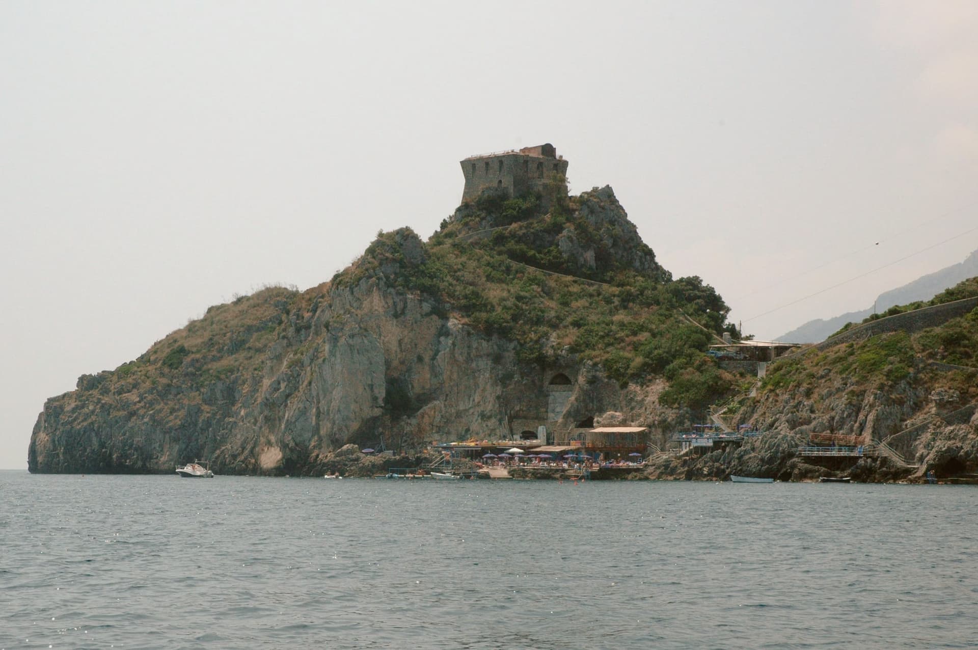
Summer residence of the doges of the Maritime Republic of Amalfi, with watchtowers built against Saracen raids still on the headlands.
When to visit
Best · May–Sep
- J13°
- F14°
- M14°
- A17°
- M22°
- J26°
- J30°
- A30°
- S26°
- O22°
- N18°
- D14°
- Best
- Hot or crowded
- Quiet
- Mostly closed
Daytime averages, 2020–2024. The sea is warmest in August at 28° and coldest in February at 15°. Weather data by Open-Meteo.com.
The festa: Luca, 5 July
Why come
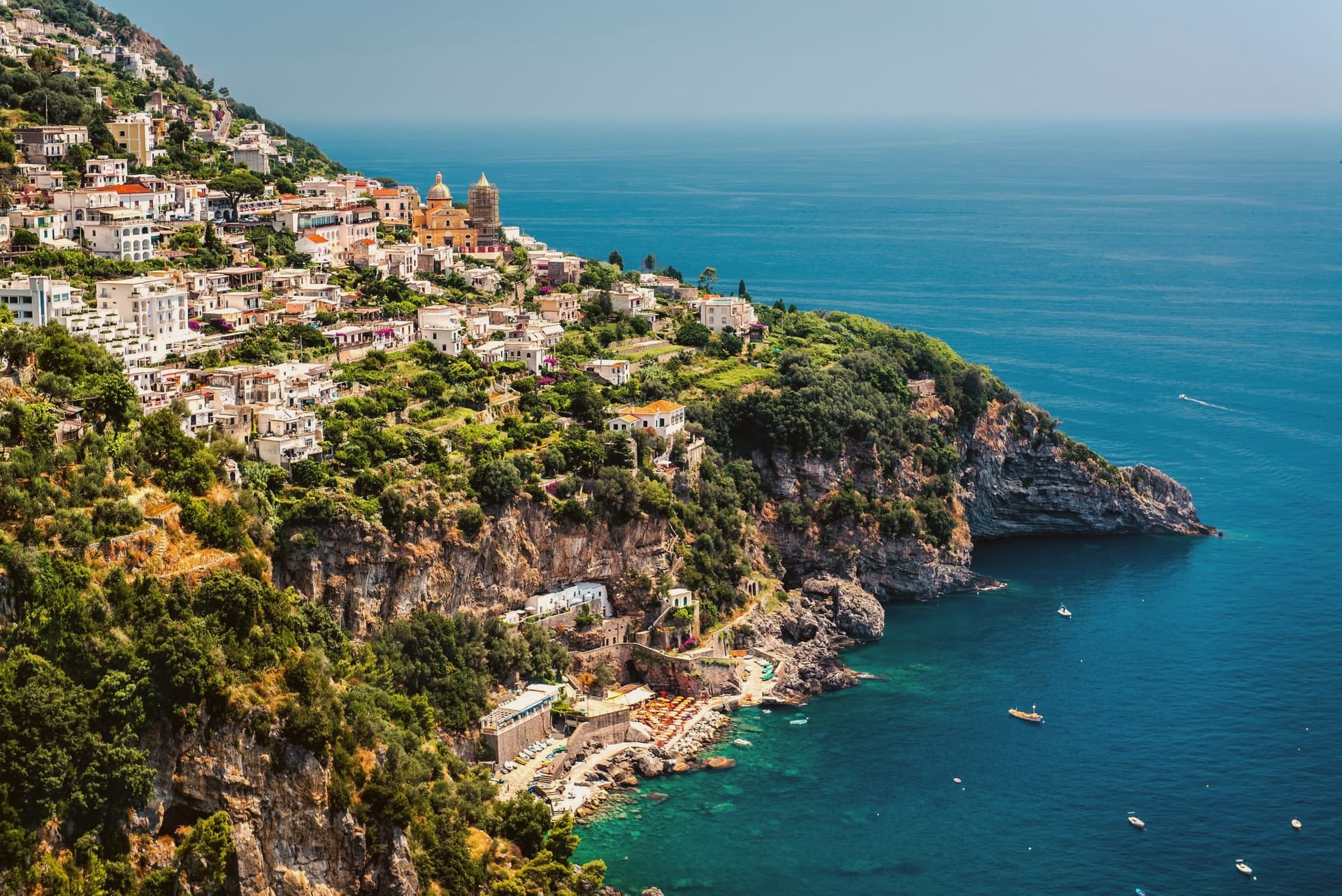
Praiano spreads along a ridge that drops from Monte Sant'Angelo a Tre Pizzi, to the sea, midway between Positano and Amalfi. The Romans called it Plagianum, from the Latin for open sea, a name that fits a town with no single center but a string of settlements strung along the slope. Vettica Maggiore holds the parish church and the main piazza toward the Positano side.
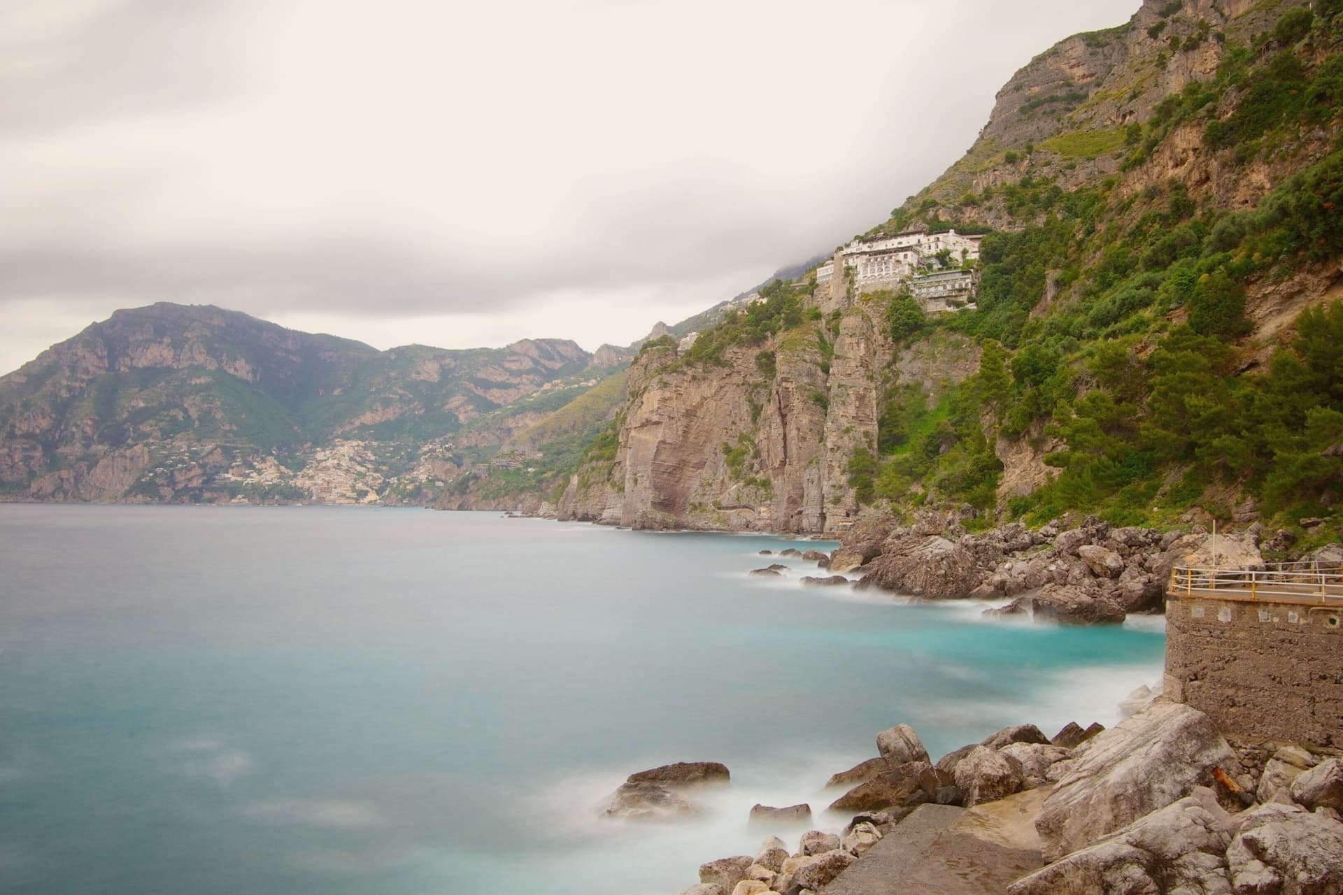
Below the ridge, reached by stairs, Marina di Praia is the only rocky break in the cliffs where boats can land, and the Africana nightclub is cut into the rock above the water. On the higher ground toward Amalfi, the church and convent mark where the coastal path leaves the town and climbs into the mountain. Gavitella, reached by its own stairway, faces west and keeps the sun after other beaches on this stretch have lost it.
The commune's history as a doges' retreat and Saracen watch post sits above all of this, on the headlands, looking down at a settlement pattern that has changed little: a summer base up high, a working landing below, and a single natural inlet standing in for a harbor. UNESCO listed the Costiera Amalfitana in 1997.
The Sunday letter
Praiano is on our list. Its letter is still to come.
We are writing about all 1,000 of these towns, one at a time, in a free letter every Sunday: the photo, the food, the festa. That is our mission. Sign up and you will be there when Praiano comes up. By Peter & Sophia, from Pietrasanta.
Read on
Praiano in our articles
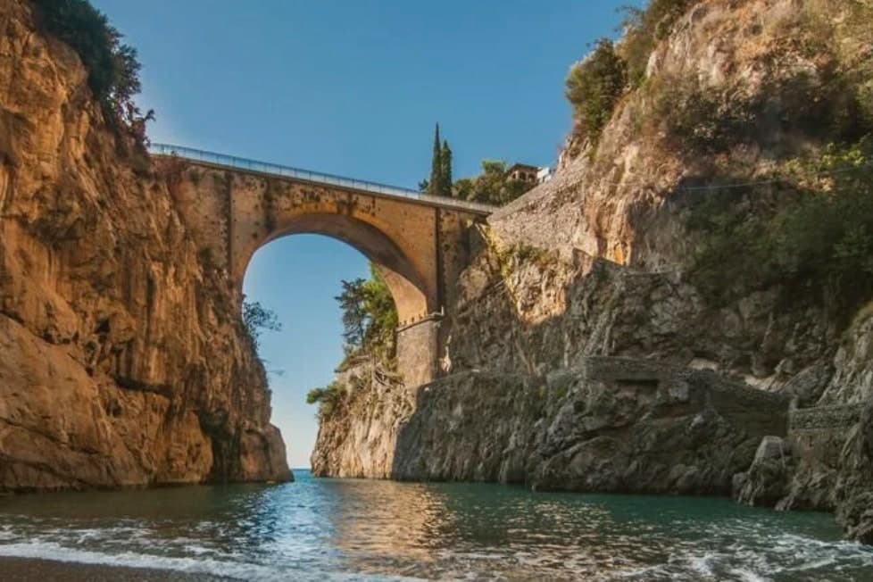
 The best hidden towns worth staying overnight in Campania8 towns, Praiano among them.
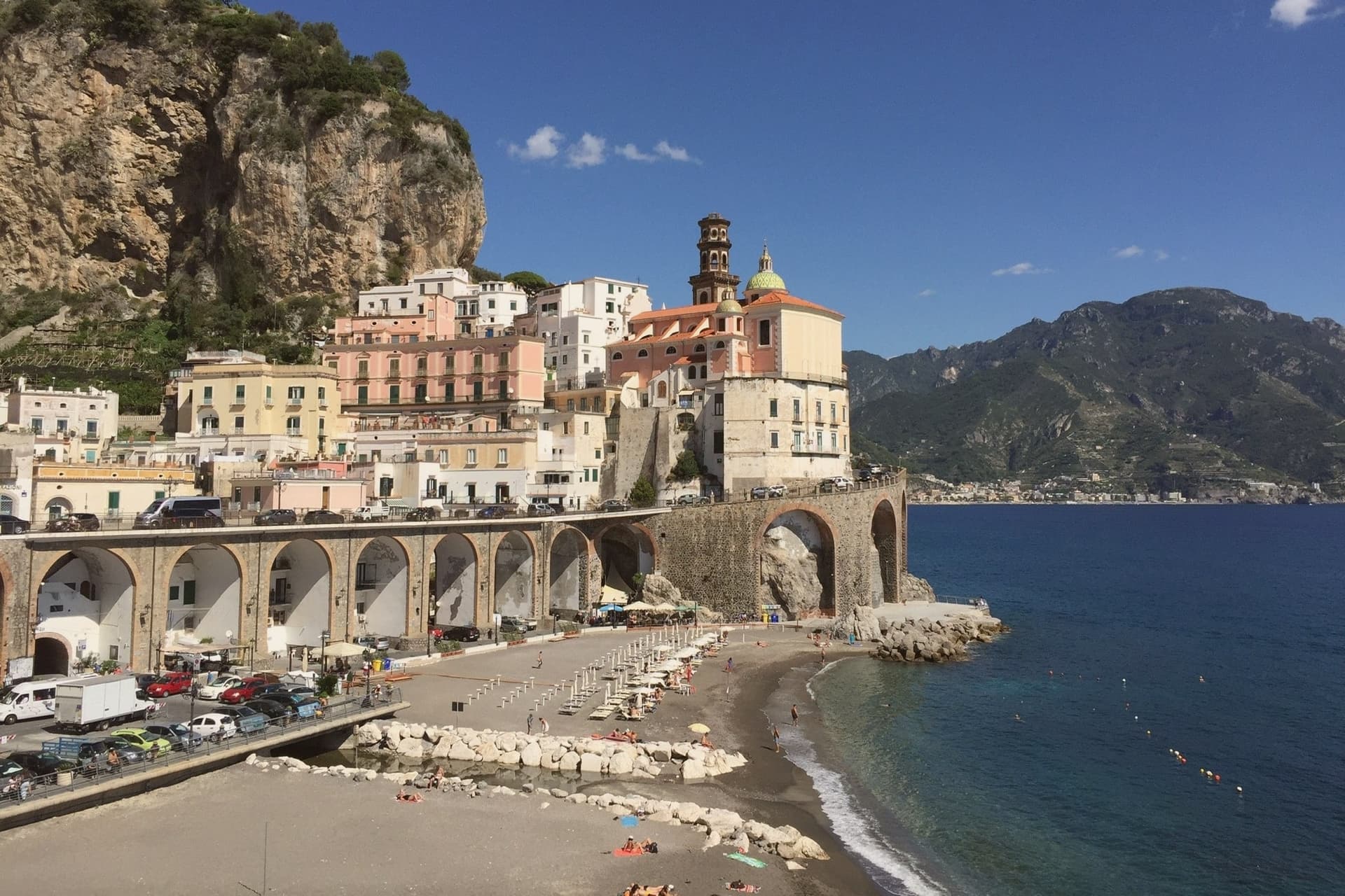
 The best towns known for what they grow within 45 minutes of Salerno10 towns, Praiano among them.
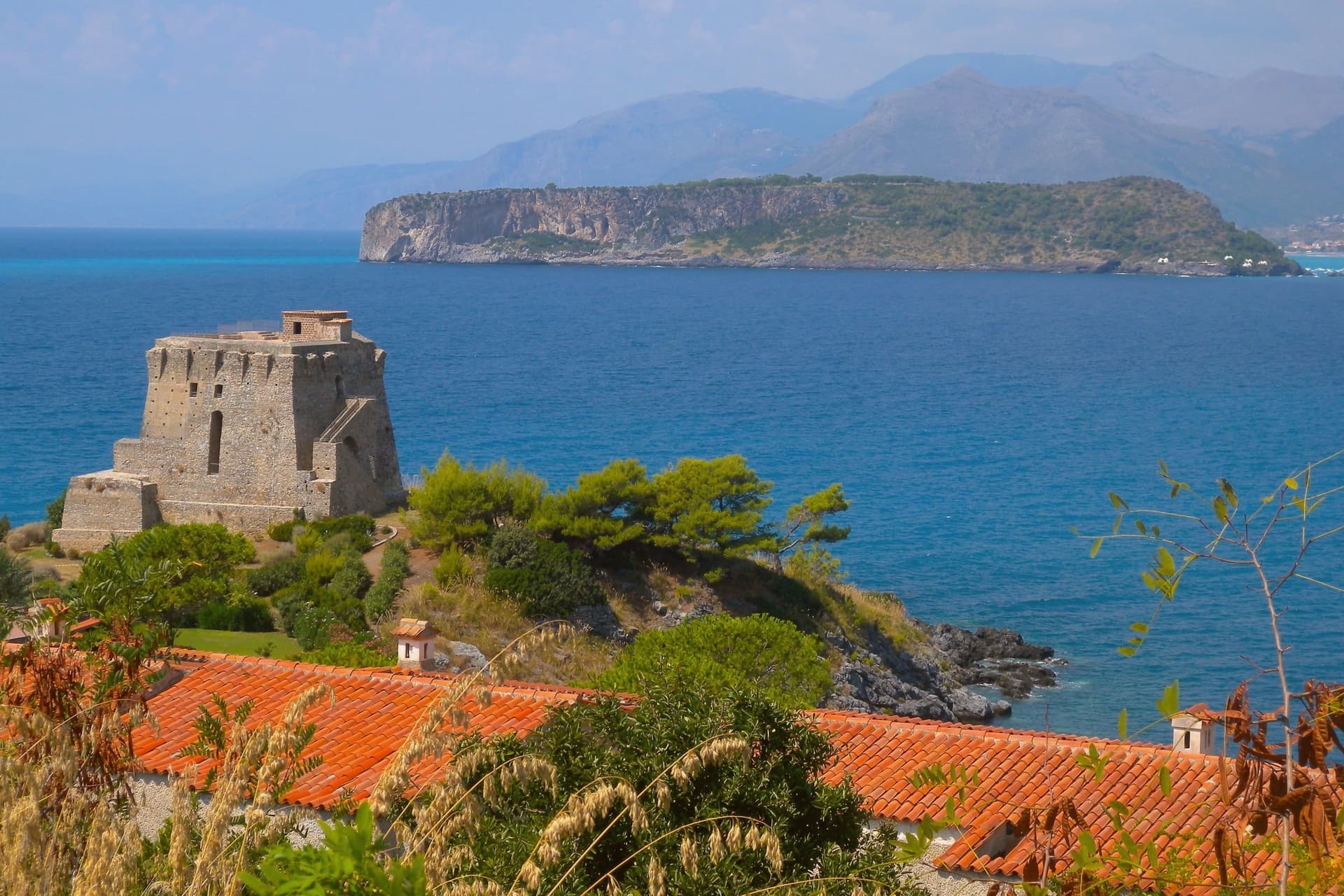
 The best towns with a World Heritage site within 45 minutes of Salerno10 towns, Praiano among them.
 Alternatives to Positano: every coastal town in Campania and Calabria that is not on the postcard34 towns, Praiano among them.
How to get there
From Naples / Salerno (NAP), about 1h 18m by car.
Bari / Brindisi (BRI) is about 3h 43m away.
By car from the centre of Salerno 42 minutes, Naples 1h 12m or Rome 3h 33m.
Coming by train into Salerno? Praiano is about 45 minutes away by road.
What to see
Chiesa di San Gennaro
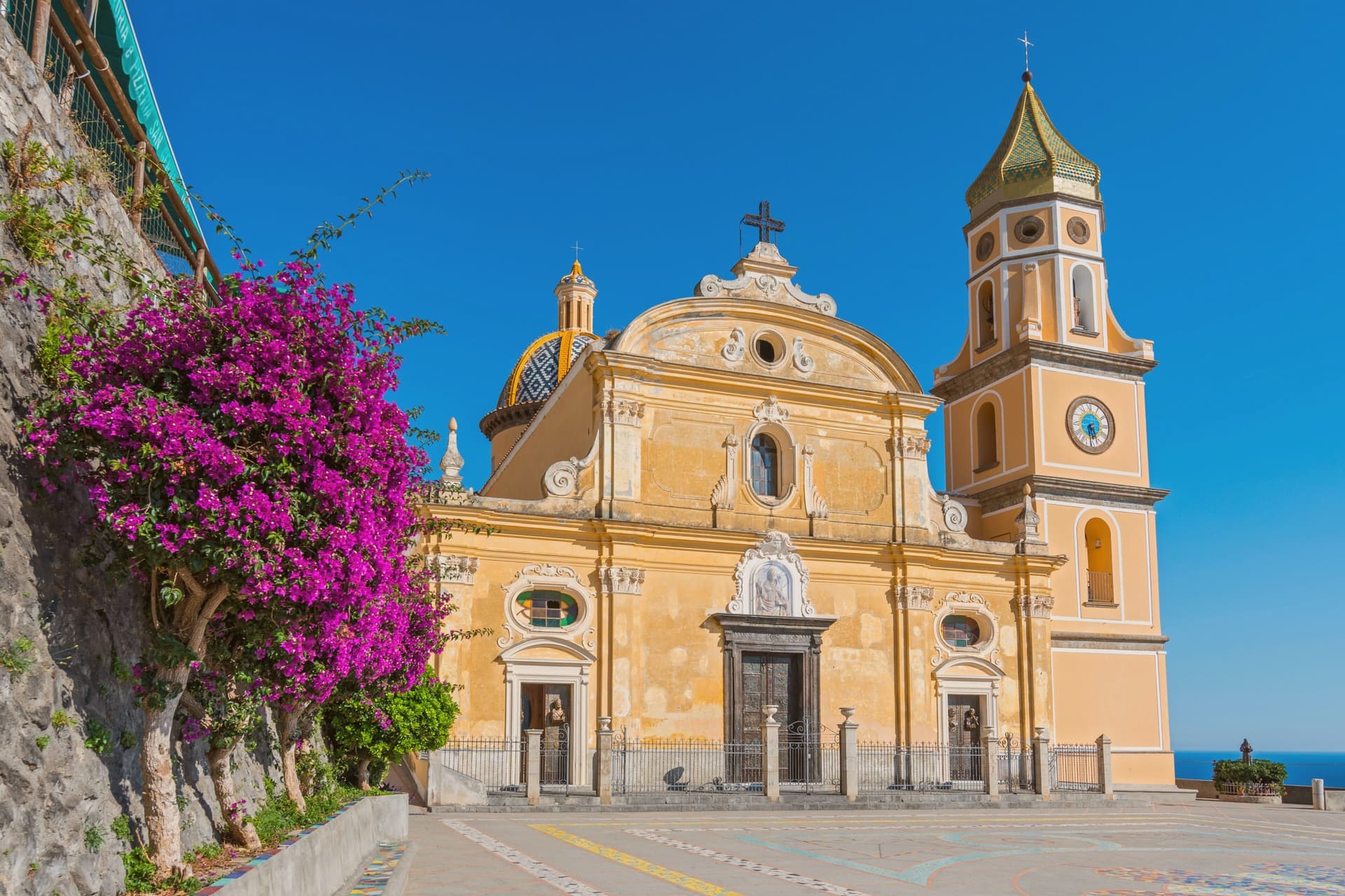
Parish church of Vettica Maggiore completed in 1602, Latin-cross plan with three naves, majolica-tiled dome and central barrel vault with lunettes.
Marina di Praia
Narrow rocky inlet at the foot of Capo Sottile, the historic landing place of Praiano, with the Africana sea-cave nightclub carved into the cliff.
Santa Maria a Castro e San Domenico
Medieval church and adjoining convent at 364 meters on the slope of Sant'Angelo a Tre Pizzi, with frescoes and a wide view over the coast.
Sentiero degli Dei
High-level cliff path running from Bomerano to Nocelle above Positano, with the main southern trailhead climbing from Praiano via San Domenico.
Spiaggia della Gavitella
West-facing pebble beach reached by stairs from the village, the only point on the coast that holds the sun late into the afternoon.
The slow-trip planner
Building a trip? Find where Praiano fits in a slow Italy circuit.
Answer five questions. We will shape a geographically coherent slow trip from the 1,000 Italian towns most travelers skip. Yours to save and share.
We recommend
Where to eat and stay
Not our picks, but places the guides put their name to: a Michelin star, a Gambero Rosso fork, a Slow Food snail, a Michelin Key for the hotels. Worth a table, a counter, or a night when you pass through.
Un Piano nel CieloRistorante
Un Piano nel Cielo has one Michelin star and two Gambero Rosso forks (81/100).
FranchinoRistorante
Franchino holds a spot in the Michelin Guide.
Gala Maris dell'Hotel Alfonso a MareRistorante
One Gambero Rosso fork (79/100), at Gala Maris dell'Hotel Alfonso a Mare.
M'Ama! Dell'Hotel MargheritaRistorante
M'Ama! Dell'Hotel Margherita has one Gambero Rosso fork (79/100) to its name.
Casa AngelinaHotel
Casa Angelina has one Michelin Key, a La Liste score of 97 and a Leading Hotels of the World listing.
Living here
- Population 1,982
- Remotei
- Pharmacy in town
- High school within a 30-minute drive
- Nearest airport Naples / Salerno, 1 h 18 min drive
- Regional capital Napoli, 1 h 12 min drive
Common questions
- What is Praiano known for?
- Praiano is the Amalfi commune between Positano and Amalfi where the doges of the maritime republic kept their summer residences and the Path of the Gods starts.
- Where is Praiano?
- Praiano is a comune in the province of Salerno, in Campania, at 120 meters above sea level.
- What is the nearest airport to Praiano?
- Naples / Salerno (NAP), about 1h 18m by car.
- How long is the drive from Salerno to Praiano?
- About 42 minutes by car.
- When is the best time to visit Praiano?
- Best in May–Sep. July is the warmest month, averaging 30 degrees, and November the wettest, with about 16 rain days.
- Is there a sagra or a festival in Praiano?
- The town keeps its patron saint's day: Luca, 5 July.
- Which other towns are like Praiano?
- Minori, San Nicola Arcella and Cetara.
- How many people live in Praiano?
- 1,982 at the 2023 count.
Tags & datadesignations · numbers · sources
Recognised as
The numbers
- Elevation: 120 m
- Population: 1,982
- Surface area: 2.67 km²
These figures were compiled from public directories: ISTAT, OpenStreetMap and Wikidata, and from the official listings of the guides named on this page. Town details change; verify with official sources before you travel.
Similar
Towns like Praiano
Minori
Province: Salerno
both on the Tyrrhenian coast · both under 3,000 people
San Nicola Arcella
Province: Cosenza
both on the Tyrrhenian coast · both under 3,000 people
Cetara
Province: Salerno
both on the Tyrrhenian coast · both under 3,000 people
Pisciotta
Province: Salerno
both on the Tyrrhenian coast · both under 3,000 people
Ravello
Province: Salerno
both on the Tyrrhenian coast · both under 3,000 people
Parghelia
Province: Vibo Valentia
both on the Tyrrhenian coast · both under 3,000 people
🏛️ UNESCO
More UNESCO towns in Campania
Amalfi
Province: Salerno
The first Italian maritime republic and the coast it named, six meters above the sea between cliffs that close around the duomo's steps.
Ascea
Province: Salerno
Two villages, a hilltown at 230 meters and a Cilento marina, with Parmenides and Zeno's Eleatic school in the ruins of Greek Velia below.
Atrani
Province: Salerno
The smallest commune in Italy by area, twelve hectares of stacked houses where the Amalfi Coast pinches shut around a single piazza.
Benevento
Province: Benevento
Sannio capital at the Calore-Sabato confluence, with a 114 AD Trajan arch and a Lombard rotunda on the UNESCO list.
Capaccio Paestum
Province: Salerno
Three Doric temples of 550 to 450 BC on the Sele plain, with mozzarella di bufala DOP on the buffalo flats below.