
Marche · Fermo
Monte Rinaldo
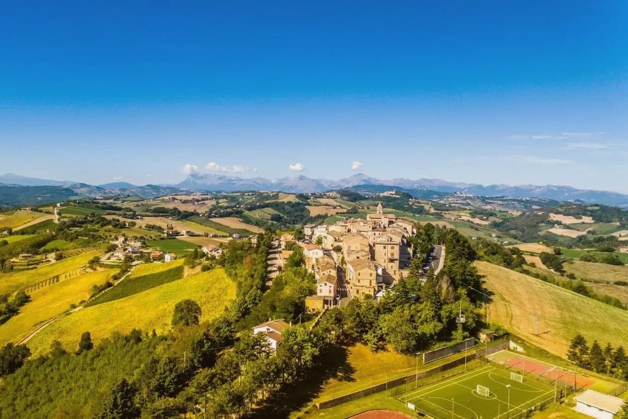
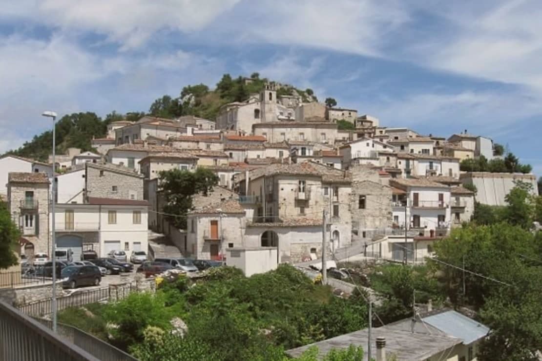
A 317-resident village on a 478-meter ridge of the Aso valley in the Marche interior, anchored by a 1st-century BC Roman sanctuary, the largest pre-imperial sanctuary excavated in the central Adriatic.
- Best time
- May–Oct
- By car
- 1 h 17 min from Ancona
- Population
- 317
Known for
ROMAN SANCTUARY
La Cuma: 2nd-1st century BC Ionic portico and temple, one of the largest pre-imperial sanctuaries excavated on the central Adriatic side.
BORGHI AUTENTICI
317-resident hilltop village in the Borghi Autentici network, on a ridge between the Aso and Tenna valleys.
SIBILLINI VIEW
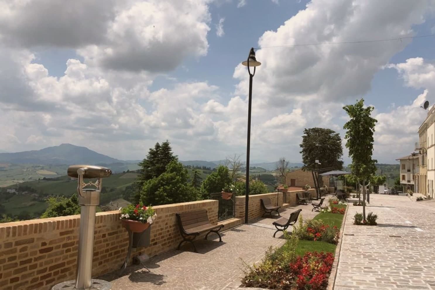
Clear-day panorama east to the Sibillini foothills from the village belvedere.
When to visit
Best · May–Oct
- J9°
- F12°
- M13°
- A16°
- M21°
- J27°
- J30°
- A30°
- S24°
- O20°
- N14°
- D10°
- Best
- Hot or crowded
- Quiet
- Mostly closed
Daytime averages, 2020–2024. Weather data by Open-Meteo.com.
The festa: Leonardo di Noblac, 6 November
Why come
The ridge here runs between the Aso and Tenna valleys, deep in the Marche interior, 75 kilometres south-west of Ancona. Monte Rinaldo sits along it, one of the smallest active comuni in the region, its 317 residents keeping the village in the Borghi Autentici network. Half a kilometre below the village, reached by a walking path through olive groves and oak woods, lies La Cuma.
The sanctuary is thought to have marked a Picene-Roman religious crossroads where the ridge route linking the Adriatic coast to the Apennines passed through: a meeting point before it was a monument. The village above holds the other half of the story in miniature, a single piazza and the parish church of San Leonardo, with the votive terracottas, coins, and fragments pulled from the excavation kept in the site museum nearby. What the ridge preserves, then, is a layered crossing: coast to mountains below, past to present in the walk between the two.
The Sunday letter
Monte Rinaldo is on our list. Its letter is still to come.
We are writing about all 1,000 of these towns, one at a time, in a free letter every Sunday: the photo, the food, the festa. That is our mission. Sign up and you will be there when Monte Rinaldo comes up. By Peter & Sophia, from Pietrasanta.
Read on
Monte Rinaldo in our articles
How to get there
From Ancona / Pescara (AOI), about 1h 22m by car.
Rimini (RMI) is about 2h 25m away.
By car from the centre of Ancona 1h 17m or Pescara 1h 32m.
Coming by train into Pescara Centrale? Monte Rinaldo is about 1h 29m away by road.

What to see
Area Archeologica de La Cuma
A 38-metre Ionic portico faces a temple platform, standing to a height and completeness rare among pre-imperial sites in central Italy. The complex was found again in 1957 and lies half a kilometre below the village.
Antiquarium / site museum
Holds the votive terracottas, coins, and architectural fragments recovered from the excavation. Small but well-catalogued.
Centro storico
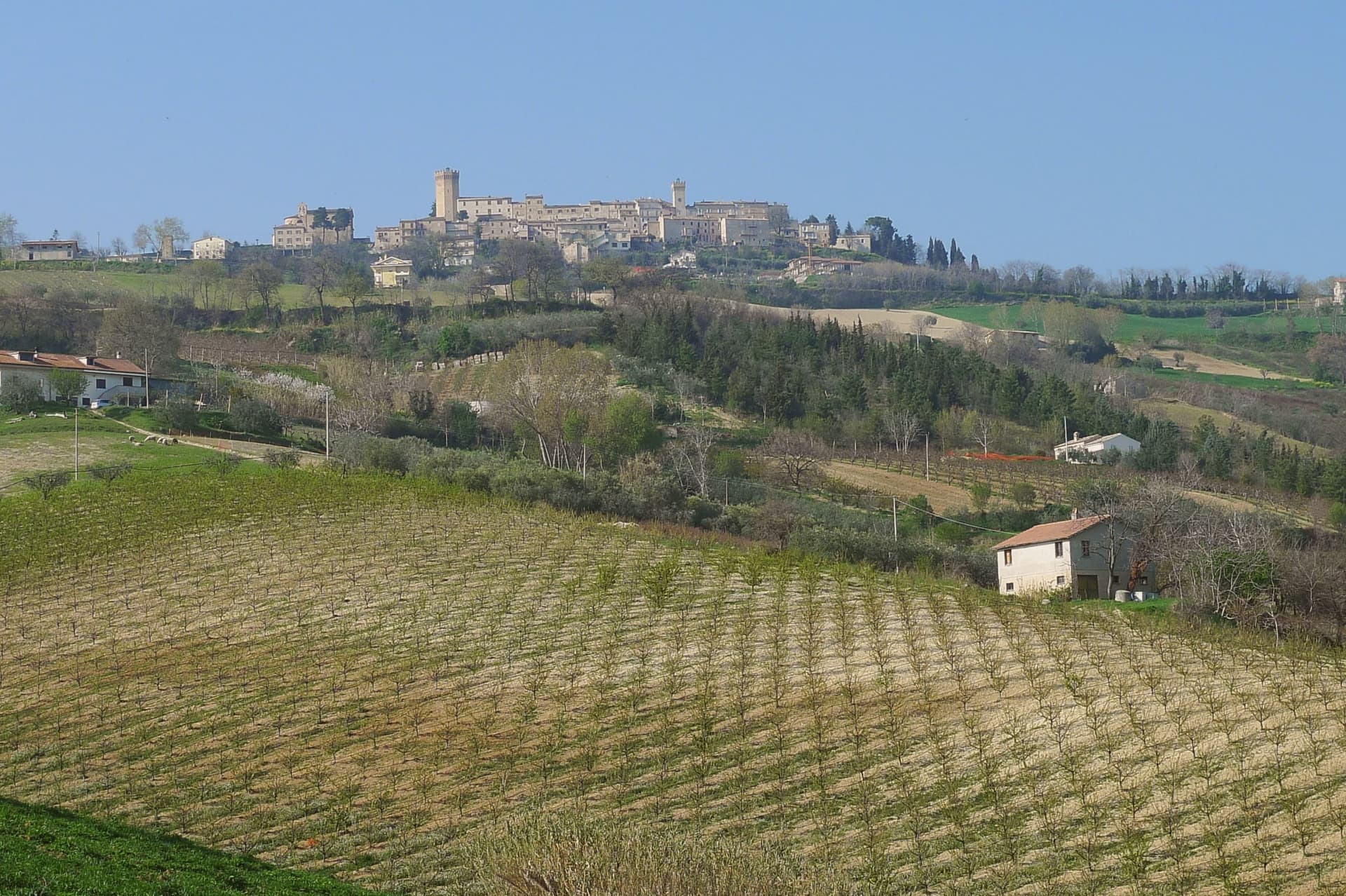
Quiet stone village around a single piazza, with the parish church of San Leonardo and views east to the Sibillini foothills.
Sentiero della Cuma
Short walking path from the village down to the archaeological area through olive groves and oak woods.
The slow-trip planner
Building a trip? Find where Monte Rinaldo fits in a slow Italy circuit.
Answer five questions. We will shape a geographically coherent slow trip from the 1,000 Italian towns most travelers skip. Yours to save and share.
Living here
- Population 317
- In-betweeni
- Pharmacy: none mapped
- High school within a 30-minute drive
- Nearest airport Ancona / Pescara, 1 h 22 min drive
- Regional capital Ancona, 1 h 17 min drive
Common questions
- What is Monte Rinaldo known for?
- Monte Rinaldo is a 317-resident village on a 478-meter ridge of the Aso valley in the Marche interior, anchored by a 1st-century BC Roman sanctuary, the largest pre-imperial sanctuary excavated in the central Adriatic.
- Where is Monte Rinaldo?
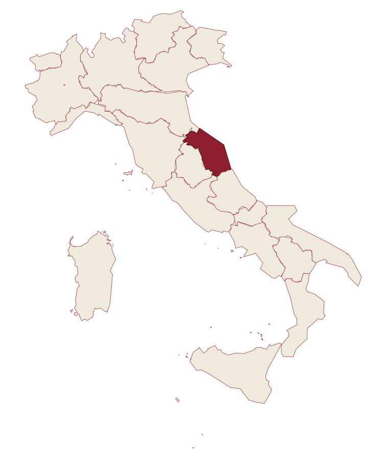
- Monte Rinaldo is a comune in the province of Fermo, in Marche, at 478 meters above sea level.
- What is the nearest airport to Monte Rinaldo?
- Ancona / Pescara (AOI), about 1h 22m by car.
- How long is the drive from Ancona to Monte Rinaldo?
- About 1h 17m by car.
- When is the best time to visit Monte Rinaldo?
- Best in May–Oct. July is the warmest month, averaging 30 degrees, and May the wettest, with about 12 rain days.
- Is there a sagra or a festival in Monte Rinaldo?
- The town keeps its patron saint's day: Leonardo di Noblac, 6 November.
- Which other towns are like Monte Rinaldo?
- Valfornace, Seborga and Montesegale.
- How many people live in Monte Rinaldo?
- 317 at the 2023 count.
Tags & datadesignations · numbers · sources
Recognised as
The numbers
- Elevation: 478 m
- Population: 317
- Surface area: 8 km²
These figures were compiled from public directories: ISTAT, OpenStreetMap and Wikidata, and from the official listings of the guides named on this page. Town details change; verify with official sources before you travel.
Similar
Towns like Monte Rinaldo
Valfornace
Province: Macerata
both inland, away from the coast · both under 1,000 people
Seborga
Province: Imperia
both inland, away from the coast · both under 1,000 people
Montesegale
Province: Pavia
both inland, away from the coast · both under 1,000 people
Percile
Province: Roma
both inland, away from the coast · both under 1,000 people
Frisanco
Province: Pordenone
both inland, away from the coast · both under 1,000 people
Castelvecchio di Rocca Barbena
Province: Savona
both inland, away from the coast · both under 1,000 people
💎 Borghi Autentici
More Borghi Autentici towns
Archi
Province: Chieti
A 492-meter rocky spur called the Terrazza sul Sangro, fief of del Balzo, Cantelmo, Colonna and Carafa, now Città del Tartufo and Città dell'Olio.
Balsorano
Province: L'Aquila
A pentagonal fortress above the Liri river that became a backdrop for 1970s Italian horror cinema.
Barrea
Province: L'Aquila
A 1,066-meter spur above an artificial lake at the heart of the Abruzzo National Park, with a Samnite necropolis and an 11th-century di Sangro castle.
Calascio
Province: L'Aquila
A village of 125 people under the highest castle in the Apennines, cast as the monk's refuge in Ladyhawke.
Campo di Giove
Province: L'Aquila
At 1,064 meters under the southwestern Maiella, the highest village in the park, named for a Roman temple to Jupiter.