

Marche · Ancona
Numana
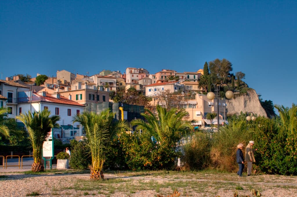
A Conero coastal town above its port, the Picene harbour that traded with Greek ships from the sixth century BC.
Known for
TOMB OF THE QUEEN
Sixth-century BC Picene royal burial with Attic pottery, bronze, ivory and amber, the central exhibit of the Antiquarium and proof of trade ties to Greece.
CONERO COAST
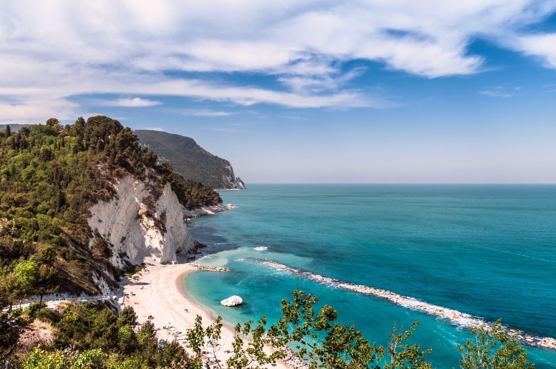
Town at the southern foot of Monte Conero, the 572-meter limestone promontory that gives the Conero Riviera its cliffs and Blue Flag beaches.
CROCIFISSO
Thirteenth-century Romanesque-Byzantine wooden crucifix in the sanctuary, venerated since the sixteenth-century discovery and a pilgrim draw across the centuries.
When to visit
Best · May–Sep
- J11°
- F13°
- M14°
- A17°
- M22°
- J27°
- J30°
- A30°
- S25°
- O21°
- N16°
- D12°
- Best
- Hot or crowded
- Quiet
- Mostly closed
Daytime averages, 2020–2024. The sea is warmest in August at 28° and coldest in February at 11°. Weather data by Open-Meteo.com.
The festa: Cristo Re, 3 May
Why come
Numana sits fifteen kilometers south of Ancona, on a cliff overlooking the Adriatic at the foot of the promontory that shapes this stretch of coast. The old town, Numana alta, runs along the ridge in continuity with Sirolo, while Numana bassa wraps around the port below, so the visitor moves between two settlements joined by a single slope rather than one town with two names. The place was a Picene harbour that traded with Greek and Etruscan ships from the sixth century BC, and a major centre of pre-Roman Italy before the rise of Ancona pushed it into decline around 500 BC. That decline is what left the burial grounds undisturbed long enough to be excavated centuries later, and it is also why the town's oldest identity is archaeological rather than architectural: a harbour that mattered, stopped mattering, and was rediscovered through what it buried.
The Sunday letter
We haven’t written Numana’s letter yet.
One town every Sunday, with the photo, the food, the festa. Be there when this one comes up. Free, by Peter & Sophia from Pietrasanta.
How to get there
From Ancona / Pescara (AOI), about 40 minutes by car.
Rimini (RMI) is about 1h 43m away.
By car from Ancona 30 minutes or Pescara 1h 41m.
What to see
Antiquarium Statale di Numana
Opened 1974, holding more than five hundred Picene burials from the Conero necropolises, plus a sixth-century BC limestone warrior's head found on a Numana beach in 1892.
Santuario del Crocifisso
Rebuilt in 1969 on a 1566 foundation, the current structure standing on a sanctuary site with roots three centuries older than the rebuild itself.
Porto di Numana
Working fishing and pleasure port at the foot of the cliff, with daily boat services along the Conero cliffs to the otherwise inaccessible Due Sorelle beach.
Spiaggia dei Frati
Pebble-and-shingle beach below the southern cliff of Numana alta, reached by stepped paths from the upper town.
Parco del Conero
Regional park covering 6,000 hectares of limestone promontory between Ancona and Numana, with Monte Conero rising above the town.
The slow-trip planner
Building a trip? Find where Numana fits in a slow Italy circuit.
Answer five questions. We will shape a geographically coherent slow trip from the 1,000 Italian towns most travelers skip. Yours to save and share.
We recommend
Where to eat
Not our picks, but places the guides put their name to: a Michelin star, a Gambero Rosso fork, a Slow Food snail, a Michelin Key for the hotels. Worth a table, a counter, or a night when you pass through.
Casa RapisardaRistorante
Casa Rapisarda has two Gambero Rosso forks (84/100) and a spot in the Michelin Guide.
In Riva a NumanaRistorante
A place in L'Espresso's Top 300 for In Riva a Numana, and a spot in the Michelin Guide.
La TorreRistorante
La Torre carries one Gambero Rosso fork (77/100).
Riva Restaurant del View Place HotelRistorante
Riva Restaurant del View Place Hotel holds two Gambero Rosso forks (87/100).
Living here
- Population 3,741
- Commuter belti
- Pharmacy in town
- High school within a 30-minute drive
- Nearest airport Ancona / Pescara, 40 min drive
- Regional capital Ancona, 30 min drive
Tags & datadesignations · numbers · sources
Recognised as
The numbers
- Elevation: 56 m
- Population: 3,741
- Surface area: 10.94 km²
These figures were compiled from public directories — ISTAT, OpenStreetMap, Wikidata — and from the official listings of the guides named on this page. Town details change; verify with official sources before you travel.
Similar
Towns like Numana
Sirolo
Province: Ancona
both on the Adriatic coast · both between 3,000 and 10,000 people
Miglianico
Province: Chieti
both on the Adriatic coast · both between 3,000 and 10,000 people
Gradara
Province: Pesaro e Urbino
both on the Adriatic coast · both between 3,000 and 10,000 people
Gabicce Mare
Province: Pesaro e Urbino
both on the Adriatic coast · both between 3,000 and 10,000 people
Aquileia
Province: Udine
both on the Adriatic coast · both between 3,000 and 10,000 people
Vernole
Province: Lecce
both on the Adriatic coast · both between 3,000 and 10,000 people
🟦 Bandiera Blu
More Bandiera Blu towns in Marche
Fermo
Province: Fermo
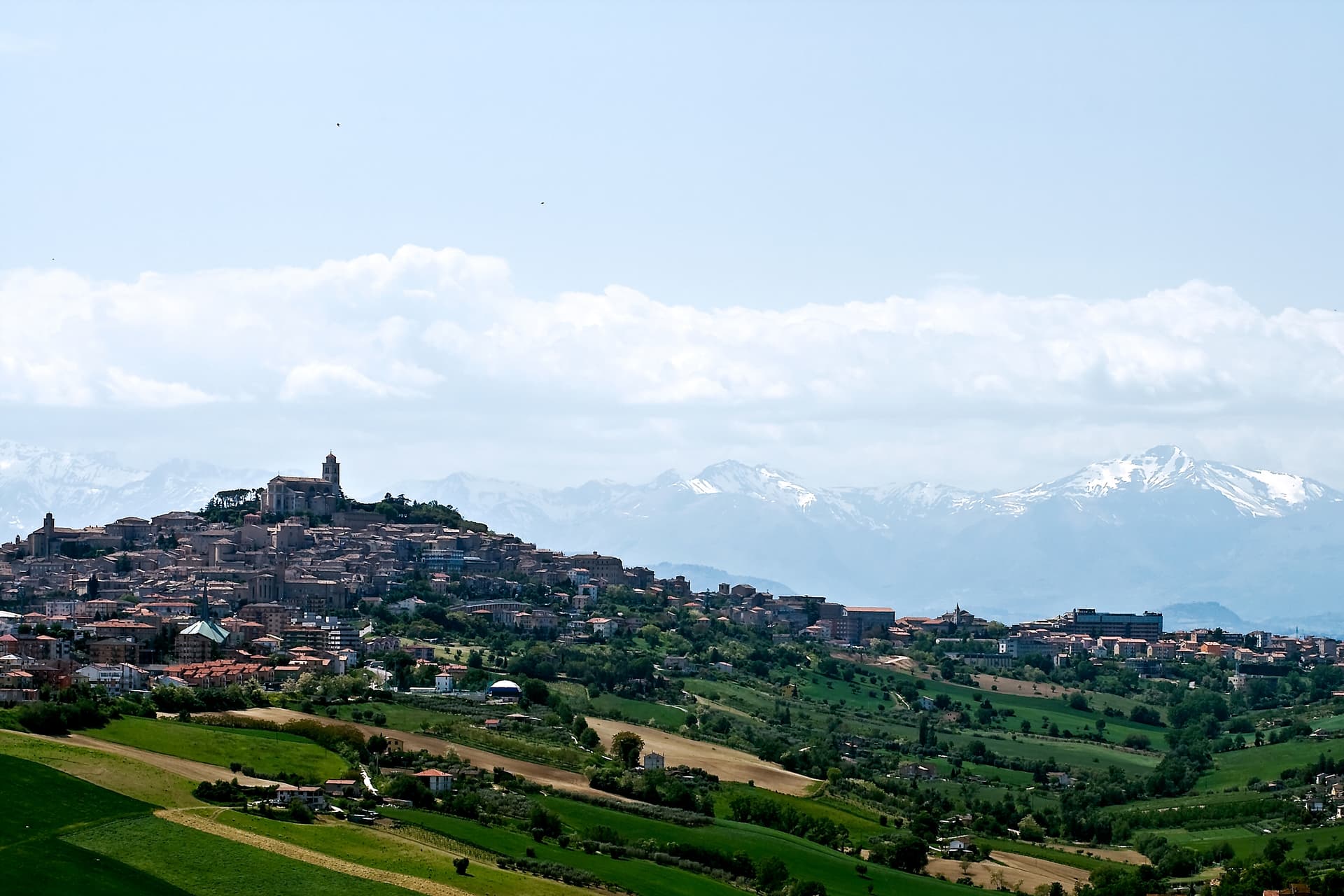
The provincial capital on the Sabulo hill at 319 meters, with 2,200 square meters of Augustan Roman cisterns running under the centro storico.
Gabicce Mare
Province: Pesaro e Urbino
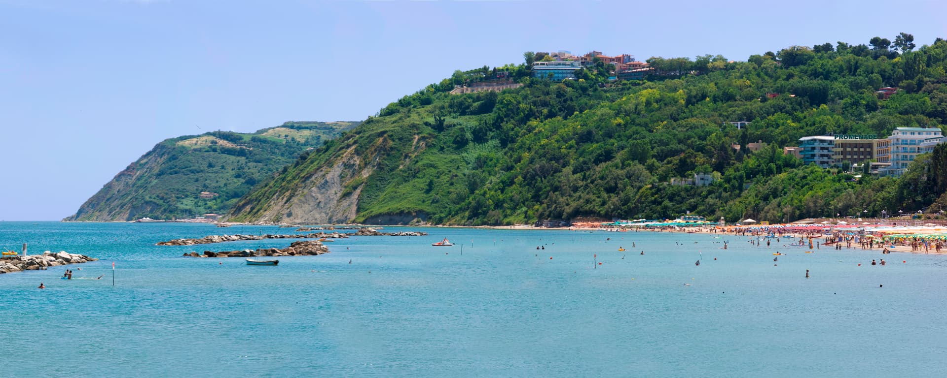
The northernmost Marche seaside on the Adriatic, where the coast meets the cliffs of the Parco del San Bartolo at the Romagna border.
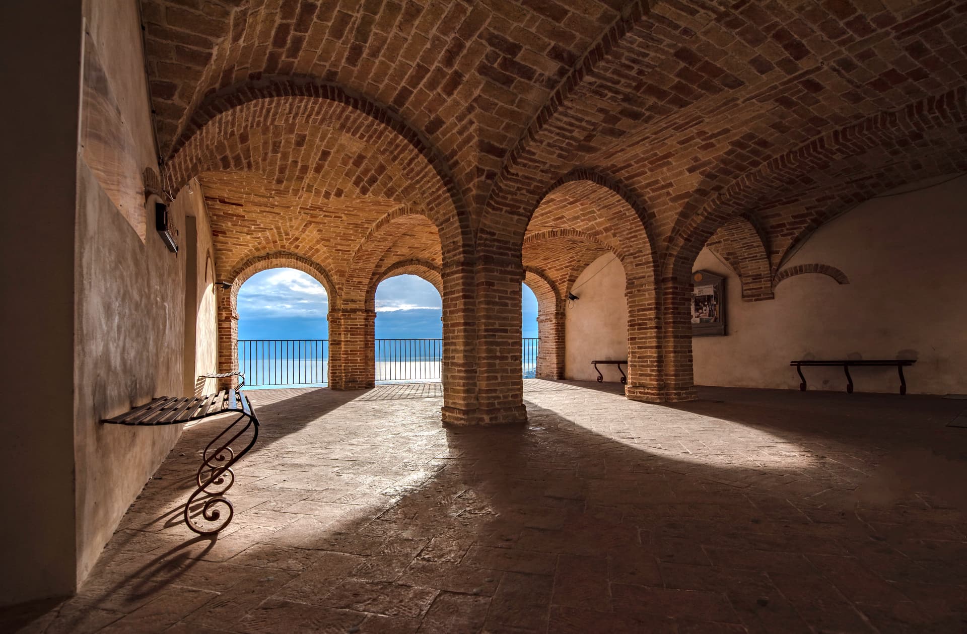
Grottammare
Province: Ascoli Piceno
A double town on the Riviera delle Palme, with a palm-lined seafront and a medieval upper borgo where Pope Sixtus V was born.
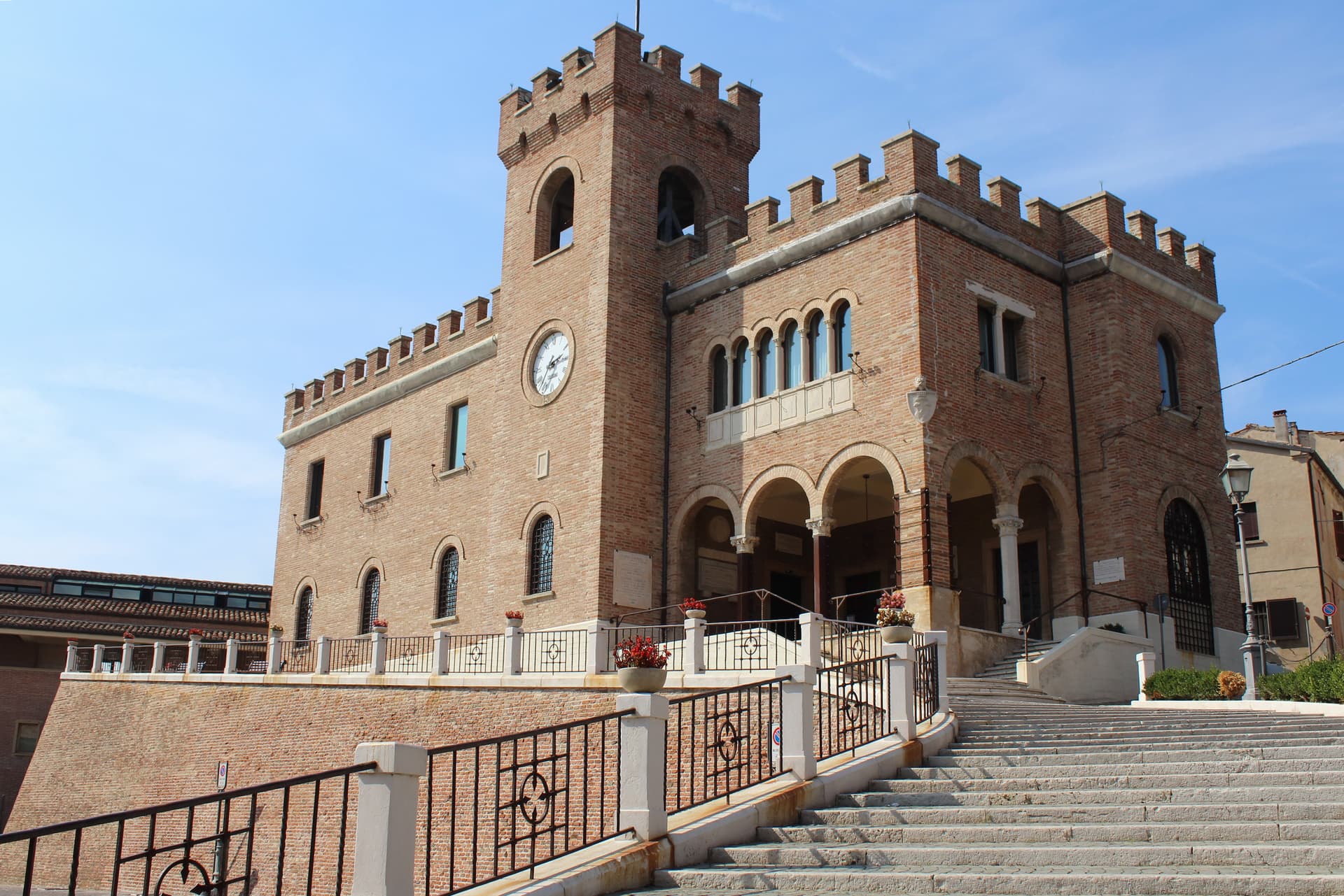
Mondolfo
Province: Pesaro e Urbino
A walled hill borgo at 144 meters above the Adriatic, with the frazione of Marotta and its beach below.
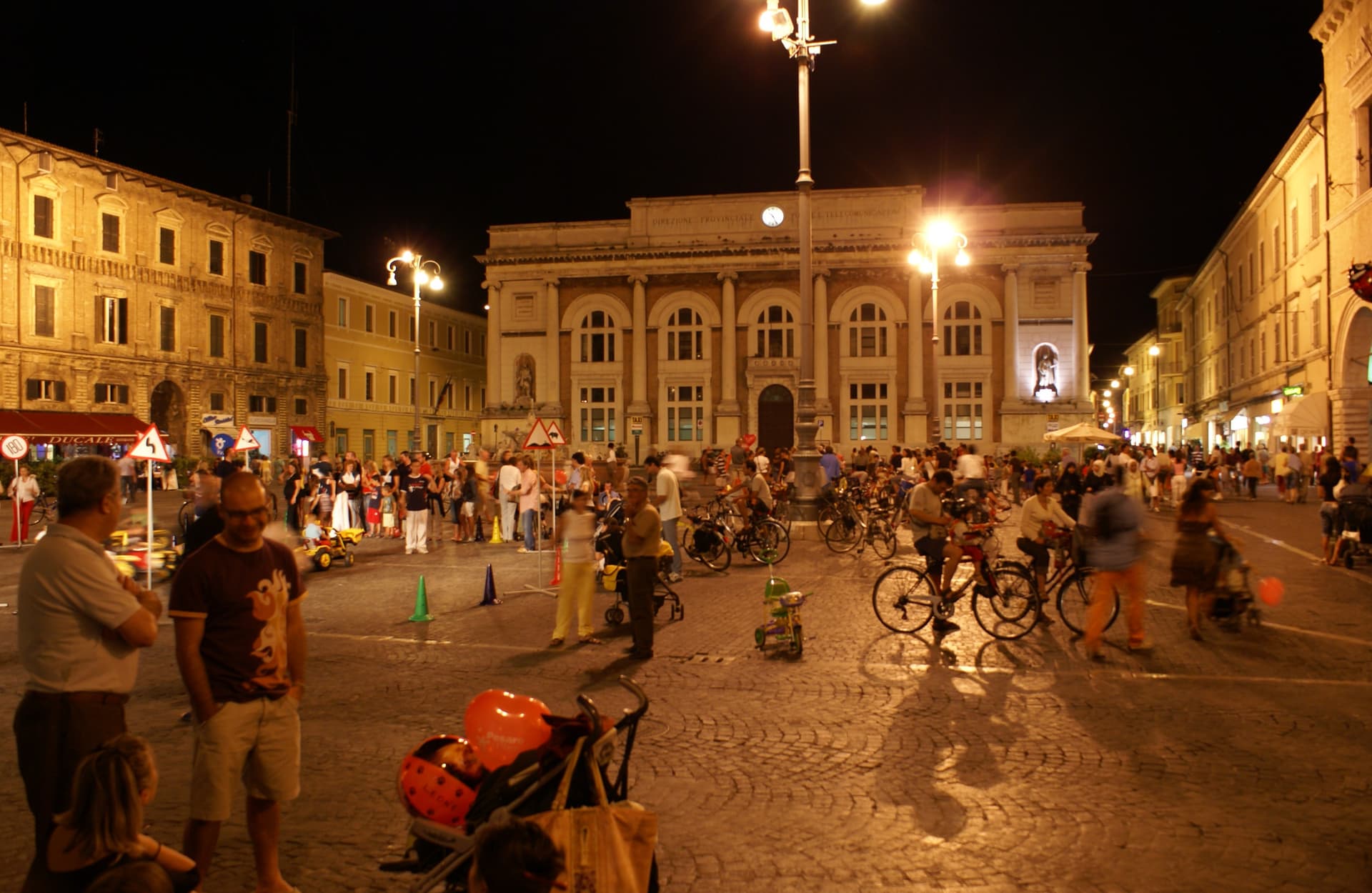
Pesaro
Province: Pesaro e Urbino
The Adriatic port at the mouth of the Foglia, founded as Roman Pisaurum in 184 BC and given to the world by Rossini in 1792.