
Abruzzo · L'Aquila
Morino
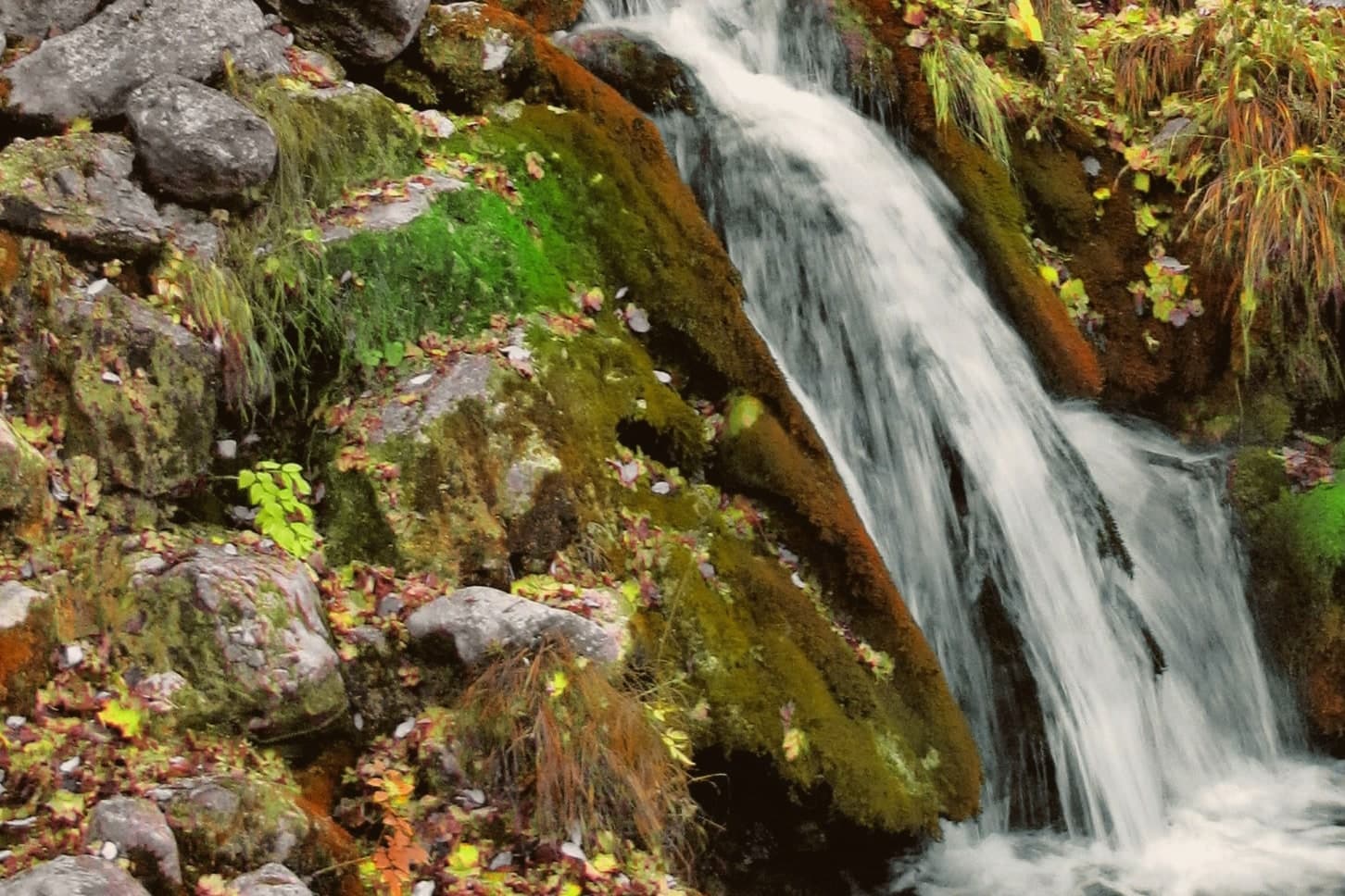
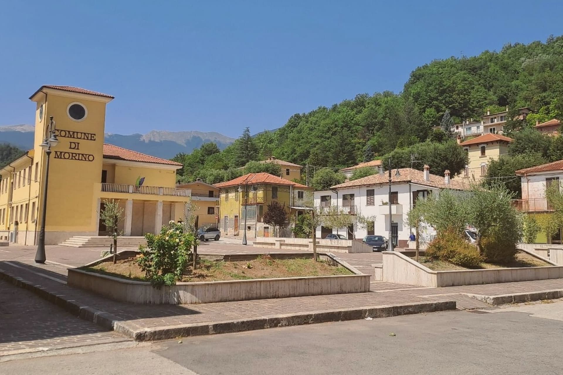
A village on the Lazio border, beneath the central Apennines' second-highest waterfall at over 80 meters.
- Best time
- Apr–Oct
- By car
- 2 h from Rome
- Population
- 1,303
Known for
ZOMPO LO SCHIOPPO
80-meter waterfall, the central Apennines' second-highest natural fall, the village's name in the regional nature reserve.
ROSCETTE CHESTNUTS
Local sweet chestnut variety, peeled and boiled with wild fennel, recognized in the Città del Castagno network.
VAL ROVETO
Mountain corridor along the Liri river toward Lazio, with the hamlet of Rendinara at 914 meters above the main village.
When to visit
Best · Apr–Oct
- J10°
- F12°
- M13°
- A16°
- M21°
- J26°
- J31°
- A30°
- S24°
- O20°
- N15°
- D12°
- Best
- Hot or crowded
- Quiet
- Mostly closed
Daytime averages, 2020–2024. Weather data by Open-Meteo.com.
The festa: natività della Beata Vergine Maria, 8 September
Why come
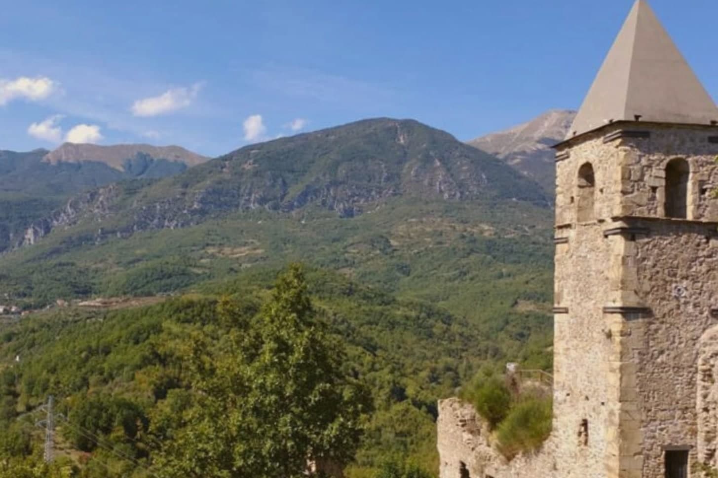
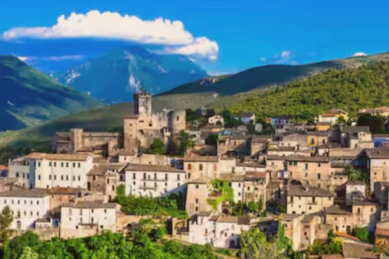
The Liri river cuts a long corridor south from Avezzano along the Lazio border, and Morino sits partway down it, the main village with its hamlets strung along the slopes above. Rendinara, the highest of these, sits on the flank of Monte Pizzo Deta, closer to the mountain pastures than to the valley floor where the parish church and the rest of the settlement lie. The commune is a member of the Città del Castagno network, and the roscette chestnuts, peeled and boiled with wild fennel, come from the same slopes that carry the reserve's beech and chestnut cover upward toward the peak. The valley's low villages, its high hamlet, and its chestnut woods all answer to the same terrain: a river corridor walled in by mountains that push settlement upward in places and leave the water, higher still, to do the rest.
The Sunday letter
Morino is on our list. Its letter is still to come.
We are writing about all 1,000 of these towns, one at a time, in a free letter every Sunday: the photo, the food, the festa. That is our mission. Sign up and you will be there when Morino comes up. By Peter & Sophia, from Pietrasanta.
Read on
Morino in our articles
How to get there
From Naples / Salerno (NAP), about 2h 24m by car.
Rome (FCO) is about 2h 42m away.
By car from the centre of Pescara 2 hours or Naples 2h 28m.
What to see
Riserva Naturale Zompo lo Schioppo
Protected reserve established 1987 around the waterfall, with beech forests, chestnut groves, and trails climbing toward Monte Pizzo Deta.
Cascata di Zompo lo Schioppo
The Romito stream drops off a limestone cliff above the village. The name is dialect: zompo means leap, schioppo the gunshot crack of the water striking rock below.
Rendinara
Mountain hamlet on the slopes of Monte Pizzo Deta, the highest inhabited frazione of the commune, reached by the Val Roveto road above the main village.
Monte Pizzo Deta
At 2,041 meters, the dominant peak of the Ernici-Simbruini range above Morino, accessed from Rendinara.
Chiesa di San Martino
Parish church in the main village, restored after the 1915 Marsica earthquake that damaged much of the valley.
The slow-trip planner
Building a trip? Find where Morino fits in a slow Italy circuit.
Answer five questions. We will shape a geographically coherent slow trip from the 1,000 Italian towns most travelers skip. Yours to save and share.
Living here
- Population 1,303
- Commuter belti
- Pharmacy: none mapped
- Nearest high school over ~30 minutes away
- Nearest airport Naples / Salerno, 2 h 24 min drive
- Regional capital L'Aquila, 1 h 26 min drive
Common questions
- What is Morino known for?
- Morino is a village at 440 meters on the Lazio border, beneath the central Apennines' second-highest waterfall at over 80 meters.
- Where is Morino?
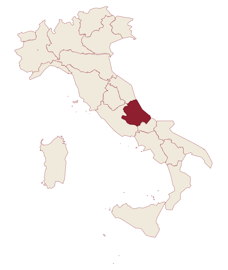
- Morino is a comune in the province of L'Aquila, in Abruzzo.
- What is the nearest airport to Morino?
- Naples / Salerno (NAP), about 2h 24m by car.
- How long is the drive from Pescara to Morino?
- About 2 hours by car.
- When is the best time to visit Morino?
- Best in Apr–Oct. July is the warmest month, averaging 31 degrees, and May the wettest, with about 18 rain days.
- Is there a sagra or a festival in Morino?
- The town keeps its patron saint's day: natività della Beata Vergine Maria, 8 September.
- Which other towns are like Morino?
- Tocco da Casauria, Controguerra and Vernasca.
- How many people live in Morino?
- 1,303 at the 2023 count.
Tags & datadesignations · numbers · sources
Recognised as
The numbers
- Elevation: 440 m
- Population: 1,303
- Surface area: 51.28 km²
These figures were compiled from public directories: ISTAT, OpenStreetMap and Wikidata, and from the official listings of the guides named on this page. Town details change; verify with official sources before you travel.
Similar
Towns like Morino
Tocco da Casauria
Province: Pescara
both inland, away from the coast · both under 3,000 people
Controguerra
Province: Teramo
both inland, away from the coast · both under 3,000 people
Vernasca
Province: Piacenza
both inland, away from the coast · both under 3,000 people
Gerace
Province: Reggio di Calabria
both inland, away from the coast · both under 3,000 people
Castelcivita
Province: Salerno
both inland, away from the coast · both under 3,000 people
Sant'Angelo Le Fratte
Province: Potenza
both inland, away from the coast · both under 3,000 people
💎 Borghi Autentici
More Borghi Autentici towns in Abruzzo
Archi
Province: Chieti
A 492-meter rocky spur called the Terrazza sul Sangro, fief of del Balzo, Cantelmo, Colonna and Carafa, now Città del Tartufo and Città dell'Olio.
Balsorano
Province: L'Aquila
A pentagonal fortress above the Liri river that became a backdrop for 1970s Italian horror cinema.
Barrea
Province: L'Aquila
A 1,066-meter spur above an artificial lake at the heart of the Abruzzo National Park, with a Samnite necropolis and an 11th-century di Sangro castle.
Calascio
Province: L'Aquila
A village of 125 people under the highest castle in the Apennines, cast as the monk's refuge in Ladyhawke.
Campo di Giove
Province: L'Aquila
At 1,064 meters under the southwestern Maiella, the highest village in the park, named for a Roman temple to Jupiter.