
Friuli-Venezia Giulia · Gorizia
Grado
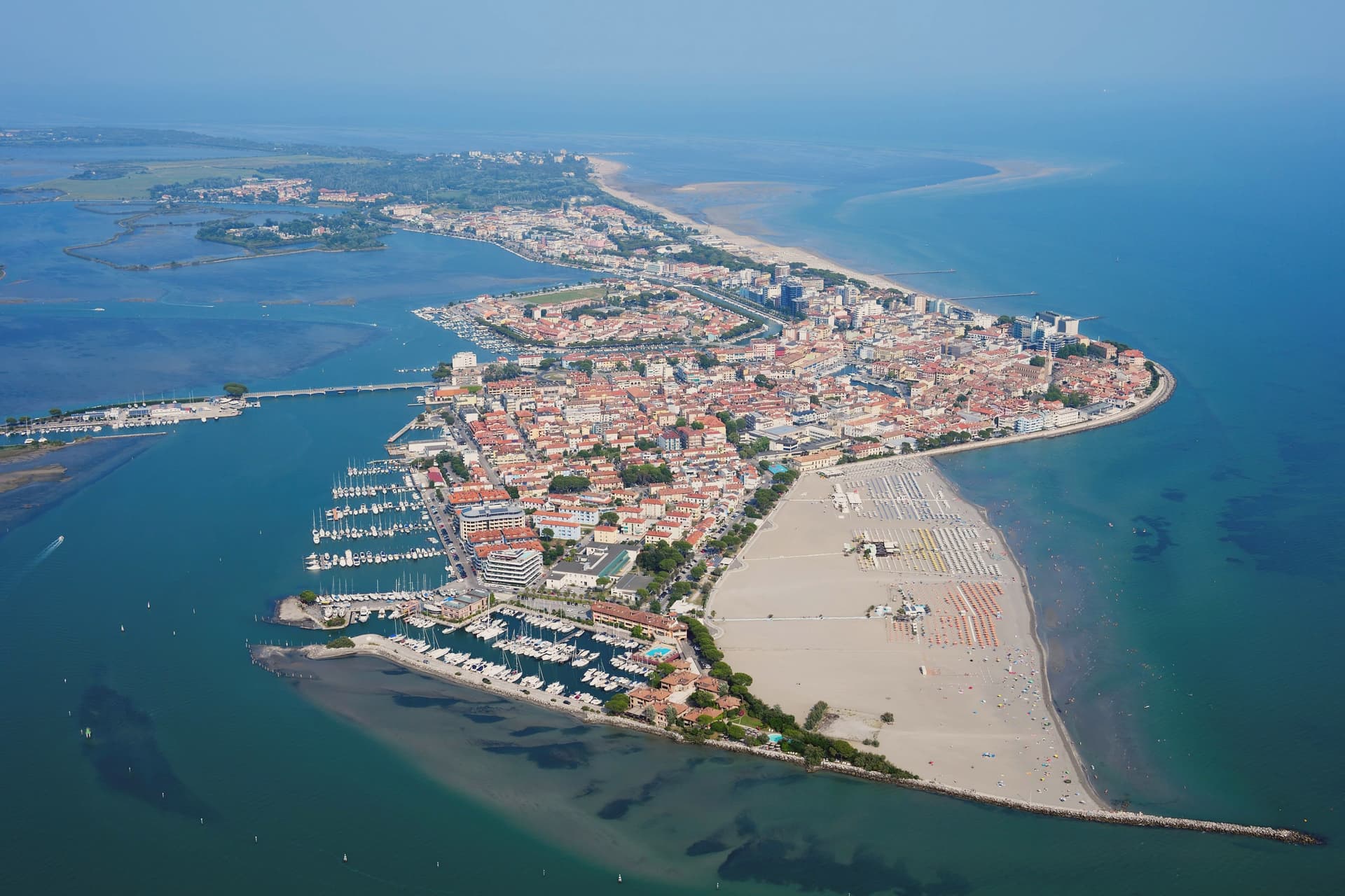
An Adriatic island town inside a 90-square-kilometer lagoon, refuge of the Aquileian patriarchs after 568 and a Habsburg bathing resort thirteen centuries later.
- Best time
- May–Sep
- By car
- 46 min from Udine
- Population
- 7,658
Known for
NEW AQUILEIA
Refuge of the Patriarchate of Aquileia from the Lombard invasion of 568, capital of the Aquileian patriarchs until the seat moved to Venice in 1105.
HABSBURG SEASIDE
Bathing resort developed under the Austrian Empire in the nineteenth century, the imperial Adriatic alternative to Abbazia and Lussinpiccolo.
LAGUNA
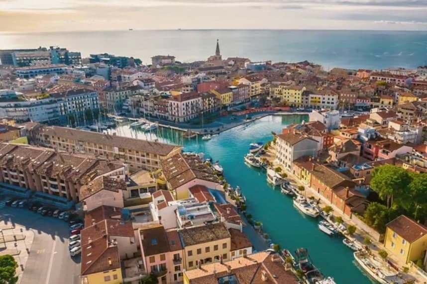
90-square-kilometer Marano-Grado lagoon of sandbanks, reeds, and thatched casoni, still worked by lagoon fishermen using traditional flat-bottomed boats.
When to visit
Best · May–Sep
- J9°
- F11°
- M14°
- A17°
- M22°
- J26°
- J30°
- A30°
- S25°
- O20°
- N14°
- D9°
- Best
- Hot or crowded
- Quiet
- Mostly closed
Daytime averages, 2020–2024. The sea is warmest in August at 28° and coldest in February at 10°. Weather data by Open-Meteo.com.
The festa: Ermagora e Fortunato, 12 July
Why come
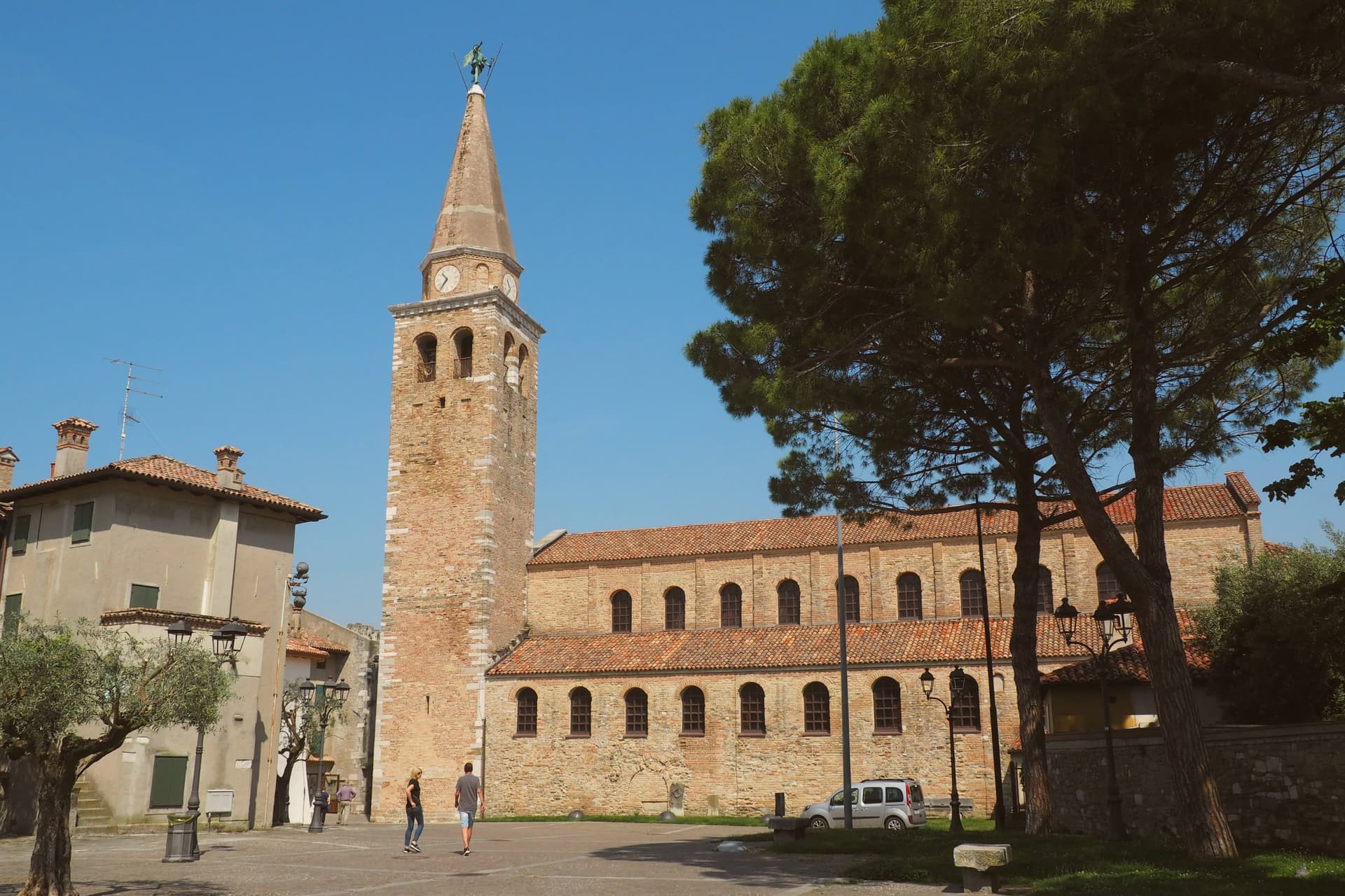
Grado is an island town in the Marano-Grado Lagoon, between Venice and Trieste, on a 90-square-kilometer mosaic of shallow water, sandbanks, and reedbeds. When the Lombards took Aquileia in 568, the metropolitan fled here; the Aquileian see was transferred to Grado in 579 and the town became known as New Aquileia. Bishop Elia consecrated the Basilica of Sant'Eufemia on November 3, 579, on the patriarchal square.
The patriarchate moved to Venice in 1105 and was formally suppressed in 1451, but Grado kept the basilica, the sixth-century baptistery, and the lapidarium. The town became Italian seaside in the Habsburg sense in the nineteenth century, when Empress Sissi's circle gave it the imperial bathing certification; the long sandy beaches and lagoon climate did the rest. Today it carries the Bandiera Blu and is the only Italian Adriatic resort that opens directly south, with full-day sun. The casoni, thatched fishermen's huts on the lagoon islets, are still in use.
The Sunday letter
Grado is on our list. Its letter is still to come.
We are writing about all 1,000 of these towns, one at a time, in a free letter every Sunday: the photo, the food, the festa. That is our mission. Sign up and you will be there when Grado comes up. By Peter & Sophia, from Turin.
The button takes you to the letter's own page on Substack, where you leave your email. About the letter
Read on
Grado in our articles
 The best coastal towns within two hours of Padua6 towns, Grado among them.
 The best coastal towns within two hours of Udine6 towns, Grado among them.
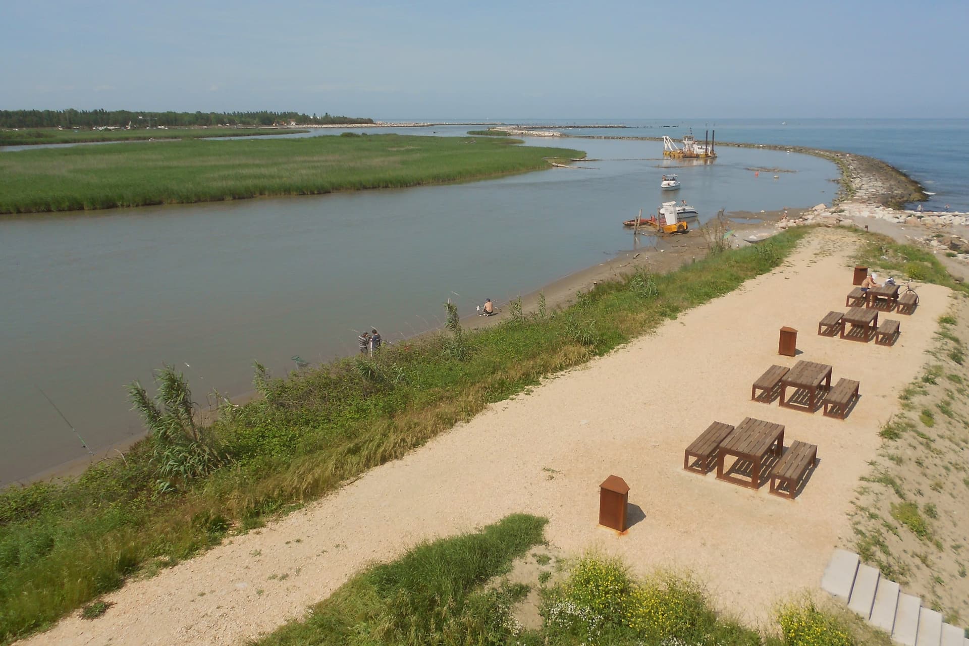 The best coastal towns within two hours of Venice6 towns, Grado among them.
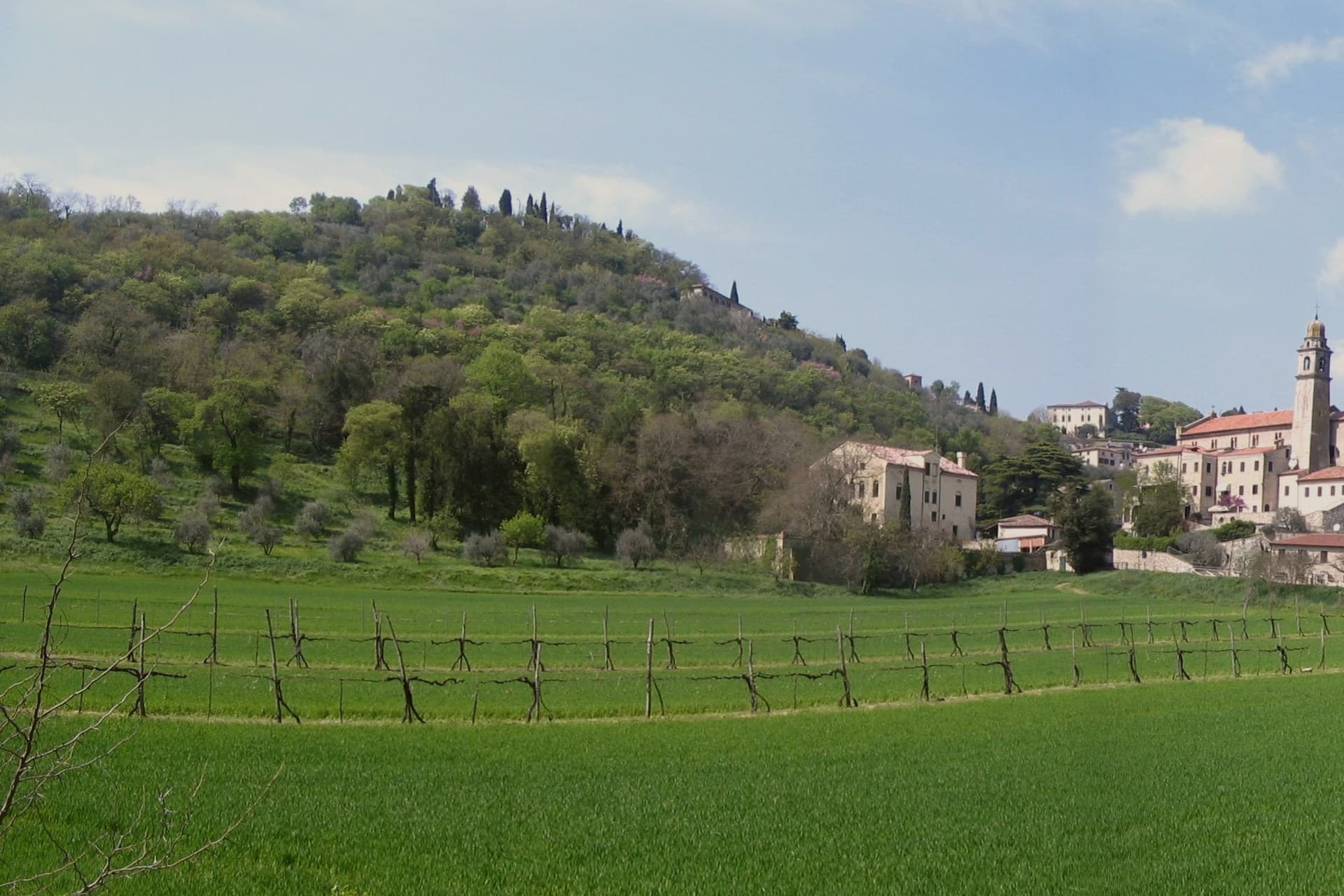 The best hot-spring towns within two hours of Venice6 towns, Grado among them.
How to get there
From Venice (TSF), about 1h 39m by car.
Verona (VRN) is about 2h 52m away.
By car from the centre of Udine 46 minutes or Trieste 1 hour.
Coming by train into Trieste Centrale? Grado is about 57 minutes away by road.
What to see
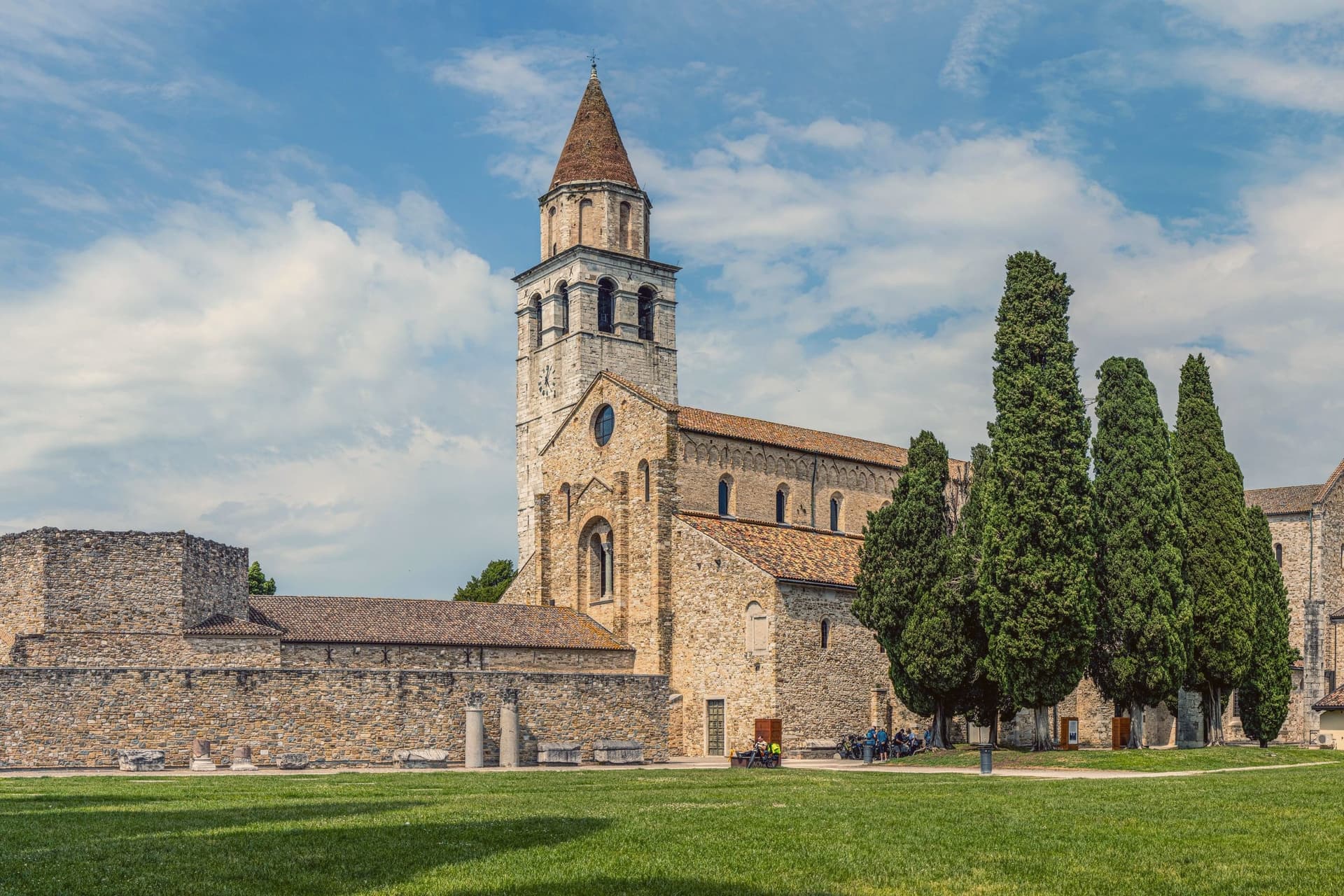
Basilica di Sant'Eufemia
Sixth-century basilica consecrated in 579 by Patriarch Elia, with original mosaic floor, lapidarium, and the suppressed patriarchal cathedra of Grado.
Battistero di Sant'Eufemia
Hexagonal sixth-century baptistery next to the basilica, with octagonal immersion font and the oldest preserved liturgical architecture in the lagoon.
Basilica di Santa Maria delle Grazie
Fifth- to sixth-century three-nave basilica on the patriarchal square, with original mosaic flooring and remains of the earlier early-Christian structure.
Spiaggia di Grado
Long fine-sand beach south of the centro storico, the only Italian Adriatic beach with full southern exposure, holder of the Bandiera Blu mark.
Laguna di Grado
90-square-kilometer lagoon between the Isonzo mouth and the Adriatic, dotted with thatched casoni and the Riserva Naturale della Valle Cavanata.
Centro storico (Castrum)
Compact island core of narrow calli and small piazzas around the patriarchal square, walled remains of the original late-antique Castrum still readable.
The slow-trip planner
Building a trip? Find where Grado fits in a slow Italy circuit.
Answer five questions. We will shape a geographically coherent slow trip from the 1,000 Italian towns most travelers skip. Yours to save and share.
We recommend
Where to eat
Not our picks, but places the guides put their name to: a Michelin star, a Gambero Rosso fork, a Slow Food snail, a Michelin Key for the hotels. Worth a table, a counter, or a night when you pass through.
Tavernetta all'AndronaRistorante
Tavernetta all'Androna holds two Gambero Rosso forks (81/100).
Through the year
What happens here
Feasts and festivals that come back year after year. We give the month rather than the date, because the date moves and the month rarely does. Check with the source before you plan a journey around one.
Le Calli di Baccofood festival
usually held in October. sagritaly.com
Living here
- Population 7,658, down 9.2% since 2015
- Commuter belti
- Pharmacy in town
- High school within a 30-minute drive
- Nearest public hospital Monfalcone, 16 km as the crow flies
- Full fibre reaches 22% of homes
- Primary school in the comune
- Earthquake zone 3, low hazard
- Nearest airport Venice, 1 h 39 min drive
- Regional capital Trieste, 1 h 0 min drive
Could you live here?
Grado meets 2 of our 2 rules for a small town.
- 7,658 people, inside our sweet spot of 5,000 to 20,000: a real town, still one community.
- Gorizia, a city of 33,506, is 41 minutes by car. Inside our 30 to 60 minutes: close for the services, far enough to keep its own life.
The rules come from our series Where to Move in Italy, written from the places we have lived: Part 1, The End of the Road · Part 2, The Small Town · Part 3, The City. The rest of the series, and the best towns to move to, arrive in the Sunday letter.
The button takes you to the letter's own page on Substack, where you leave your email. About the letter
Thermal baths in town: Terme Marine.
Common questions
- What is Grado known for?
- Grado is an Adriatic island town inside a 90-square-kilometer lagoon, refuge of the Aquileian patriarchs after 568 and a Habsburg bathing resort thirteen centuries later.
- Where is Grado?
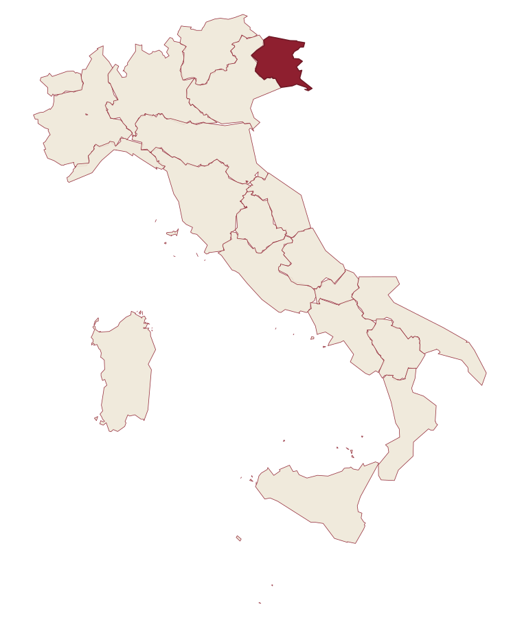
- Grado is a comune in the province of Gorizia, in Friuli-Venezia Giulia, at 2 meters above sea level.
- What is the nearest airport to Grado?
- Venice (TSF), about 1h 39m by car.
- How long is the drive from Udine to Grado?
- About 46 minutes by car.
- When is the best time to visit Grado?
- Best in May–Sep. July is the warmest month, averaging 30 degrees, and May the wettest, with about 14 rain days.
- Is there a sagra or a festival in Grado?
- Yes. Le Calli di Bacco. October is when the first of them falls.
- Which other towns are like Grado?
- Aquileia, Vernole and Gabicce Mare.
- How many people live in Grado?
- 7,658 at the 2023 count.
- Is Grado a good place to live?
- By the rules in our Where to Move in Italy series, Grado is a small town that meets 2 of our 2 rules. The nearest city, Gorizia, is 41 minutes away by car. The nearest public hospital is in Monfalcone, 16 km as the crow flies. Full fibre reaches 22% of homes.
Tags & datadesignations · numbers · sources
Recognised as
The numbers
- Elevation: 2 m
- Population: 7,658
- Surface area: 111.33 km²
These figures were compiled from public directories: ISTAT, OpenStreetMap and Wikidata, and from the official listings of the guides named on this page. Town details change; verify with official sources before you travel.
Similar
Towns like Grado
Aquileia
Province: Udine
both on the Adriatic coast · both between 3,000 and 10,000 people
Vernole
Province: Lecce
both on the Adriatic coast · both between 3,000 and 10,000 people
Gabicce Mare
Province: Pesaro e Urbino
both on the Adriatic coast · both between 3,000 and 10,000 people
Campi Salentina
Province: Lecce
both on the Adriatic coast · both between 3,000 and 10,000 people
Gradara
Province: Pesaro e Urbino
both on the Adriatic coast · both between 3,000 and 10,000 people
Miglianico
Province: Chieti
both on the Adriatic coast · both between 3,000 and 10,000 people