
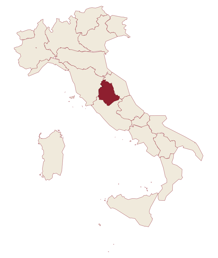
Umbria · Perugia
Giano dell'Umbria
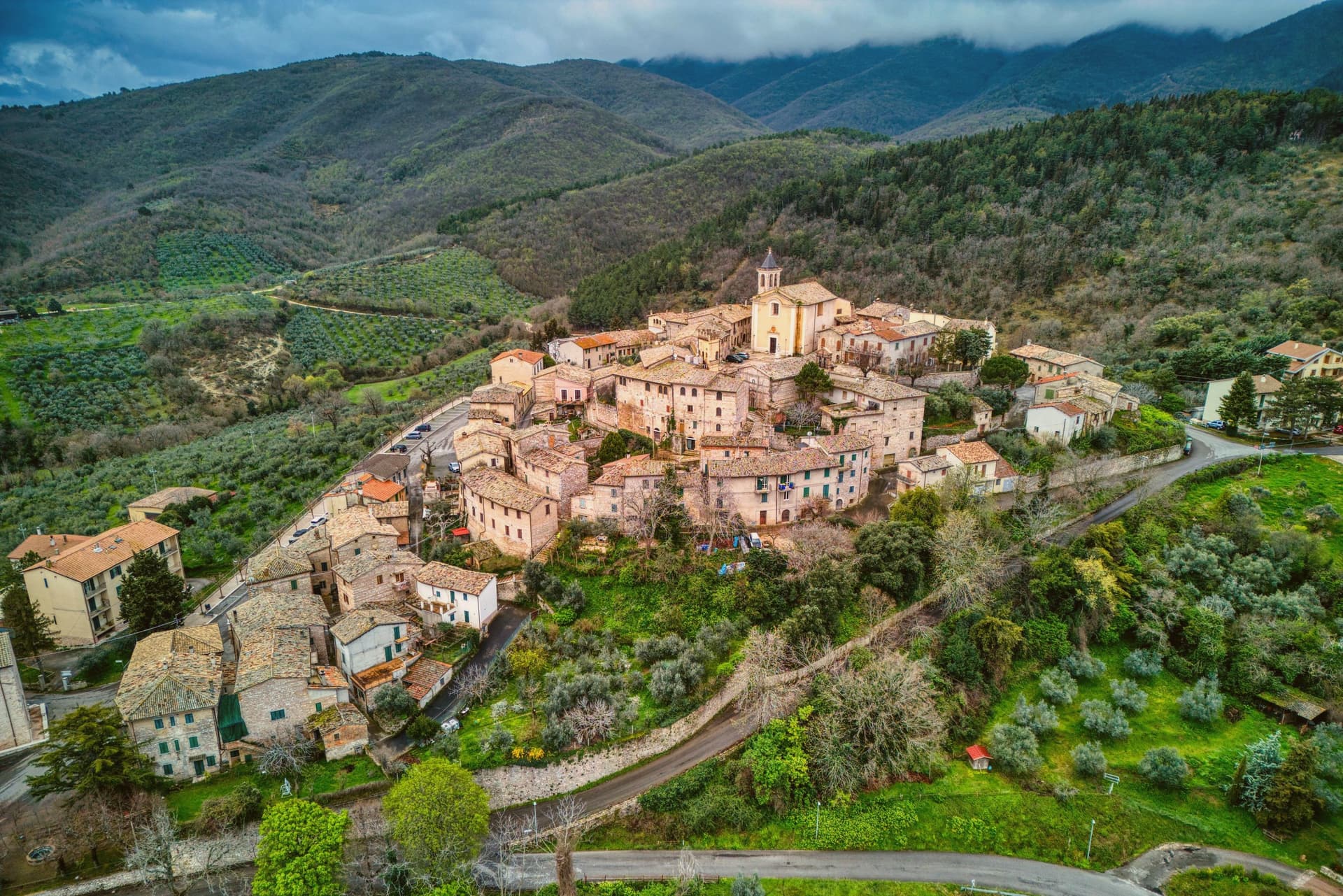
A hill commune between Foligno, Spoleto and Todi, anchored by a Romanesque abbey built over the tomb of a fourth-century martyr.
- Best time
- Apr–Oct
- By car
- 57 min from Perugia
- Population
- 3,648
Known for
SAN FELICE
Romanesque abbey rebuilt in the early 12th century over a 4th-century oratory at the tomb of the martyred bishop.
OLIO MARTANI
Olive groves on the Monti Martani slopes feed the Frantoi Aperti weekends every November; the town carries the Città dell'Olio designation.
TREBBIANO SPOLETINO
Native white grape revived in the last decade by local producers in the DOC Spoleto area surrounding the commune.
MONTEFALCO SAGRANTINO
The commune lies inside the Montefalco Sagrantino DOCG production zone.
When to visit
Best · Apr–Oct
- J8°
- F11°
- M13°
- A16°
- M22°
- J27°
- J32°
- A31°
- S25°
- O20°
- N13°
- D10°
- Best
- Hot or crowded
- Quiet
- Mostly closed
Daytime averages, 2020–2024. Weather data by Open-Meteo.com.
The festa: Felice di Massa Martana, 30 October
Why come
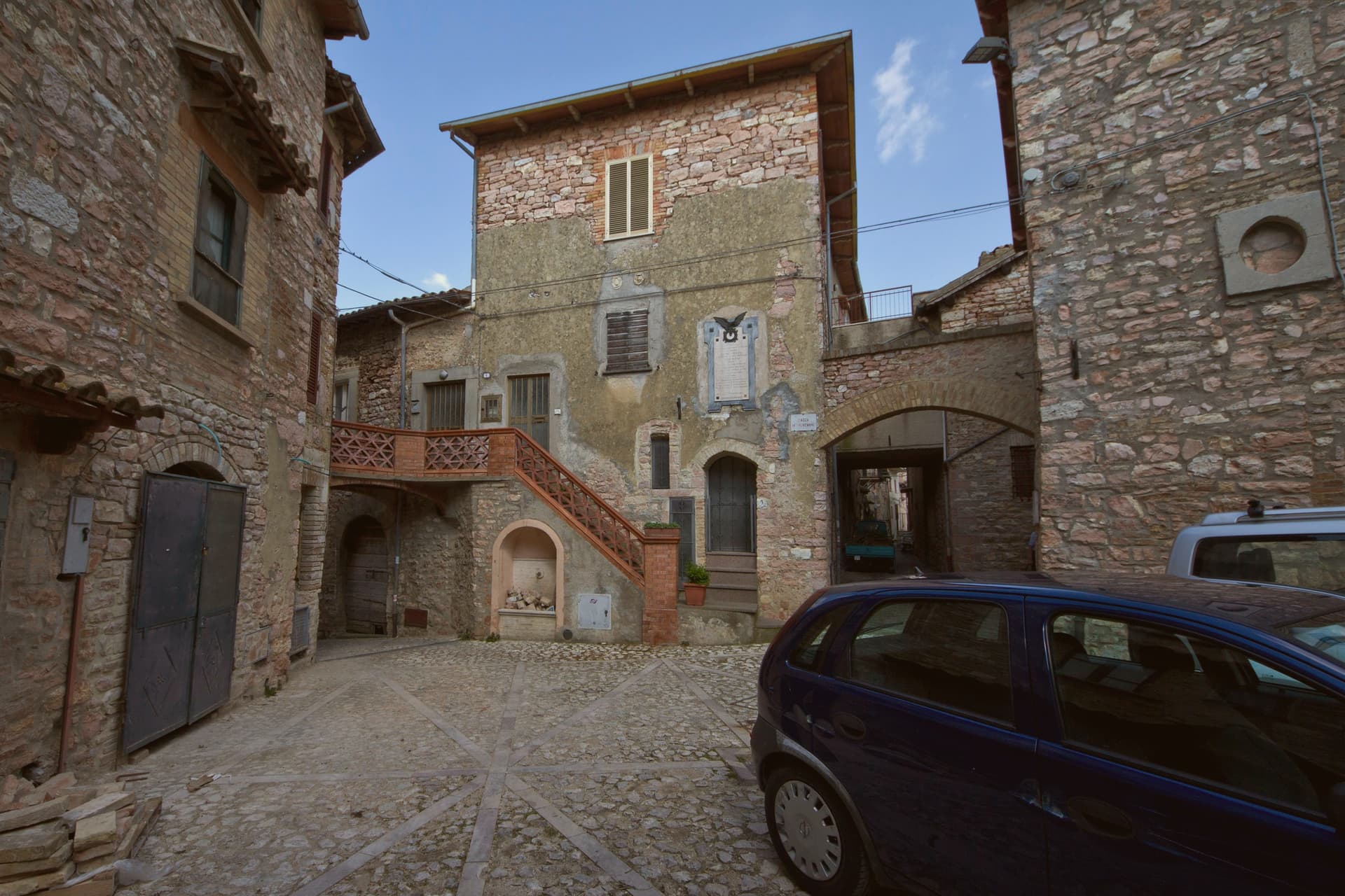
Giano dell'Umbria sits at 547 meters on the eastern slope of a mountain range, inside the triangle between Foligno, Spoleto and Todi. The territory is dotted with small medieval castles, Montecchio and Morcicchia the most intact, and small Romanesque churches scattered between the olive groves. The abbey stands just outside the walls of the capoluogo, while Montecchio, the castle, the frazione and the Antiquarium together, sits apart on its own ridge above Bastardo, closer to the Via Flaminia than to the main town.
The commune is also the seat of the DOC Spoleto wine, with the Trebbiano Spoletino grape reborn here in the last decade, and the olive groves around Bastardo supply the Frantoi Aperti weekends every November. Abbey, castle and grove read as three settlements on one slope: a religious center below the walls, a fortified outpost on the ridge, and an agricultural economy spread through the land between them.
The Sunday letter
Giano dell'Umbria is on our list. Its letter is still to come.
We are writing about all 1,000 of these towns, one at a time, in a free letter every Sunday: the photo, the food, the festa. That is our mission. Sign up and you will be there when Giano dell'Umbria comes up. By Peter & Sophia, from Pietrasanta.
Read on
Giano dell'Umbria in our articles
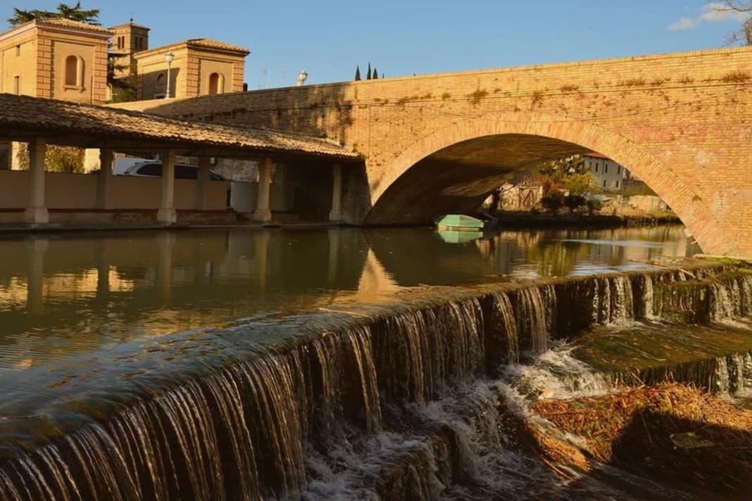
 The best small olive oil towns in the province of Perugia6 towns, Giano dell'Umbria among them.
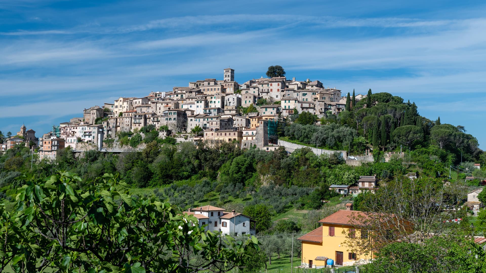
 The best wine towns in the province of Perugia7 towns, Giano dell'Umbria among them.
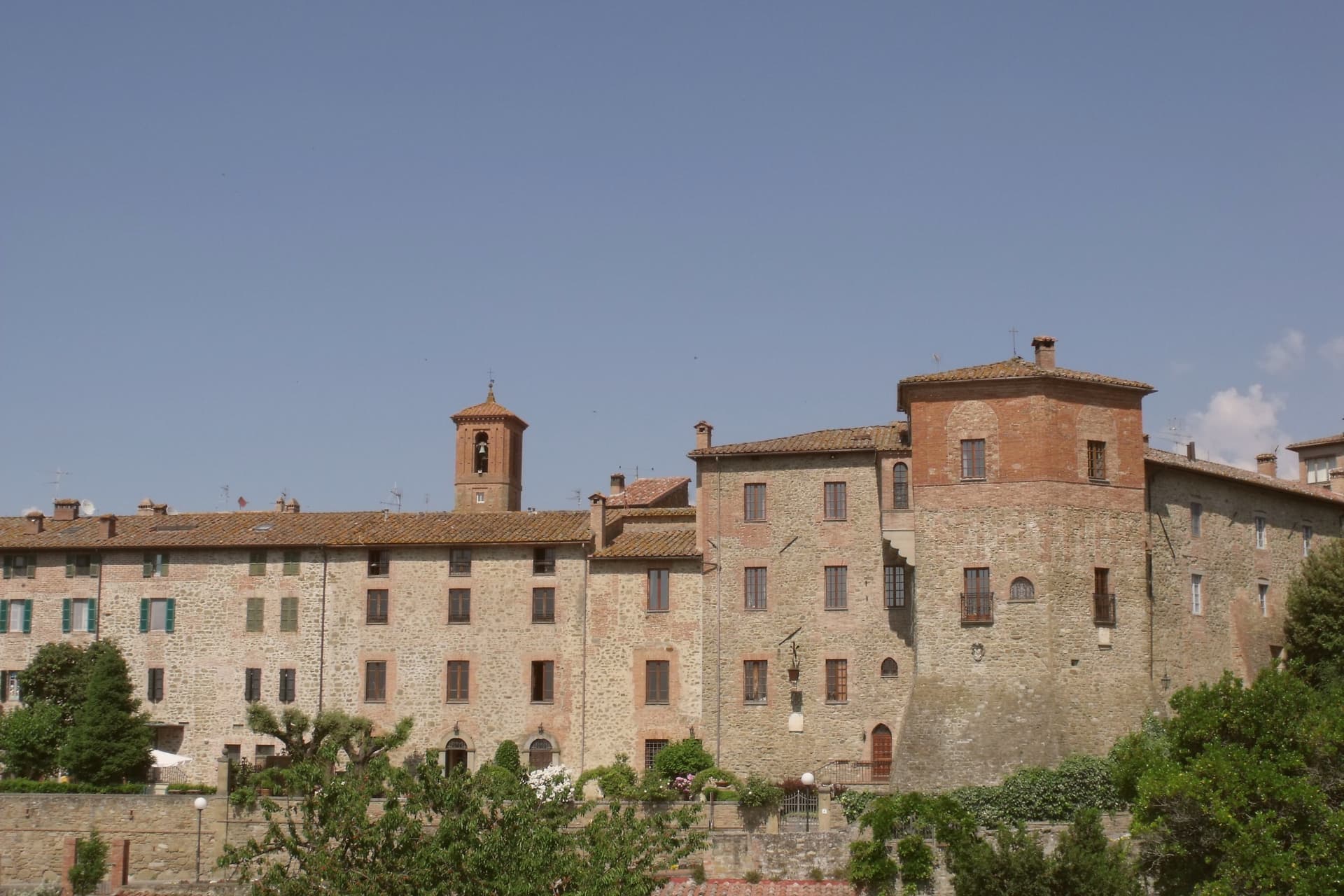
 The 9 best olive oil towns within 90 minutes of Terni9 towns, Giano dell'Umbria among them.
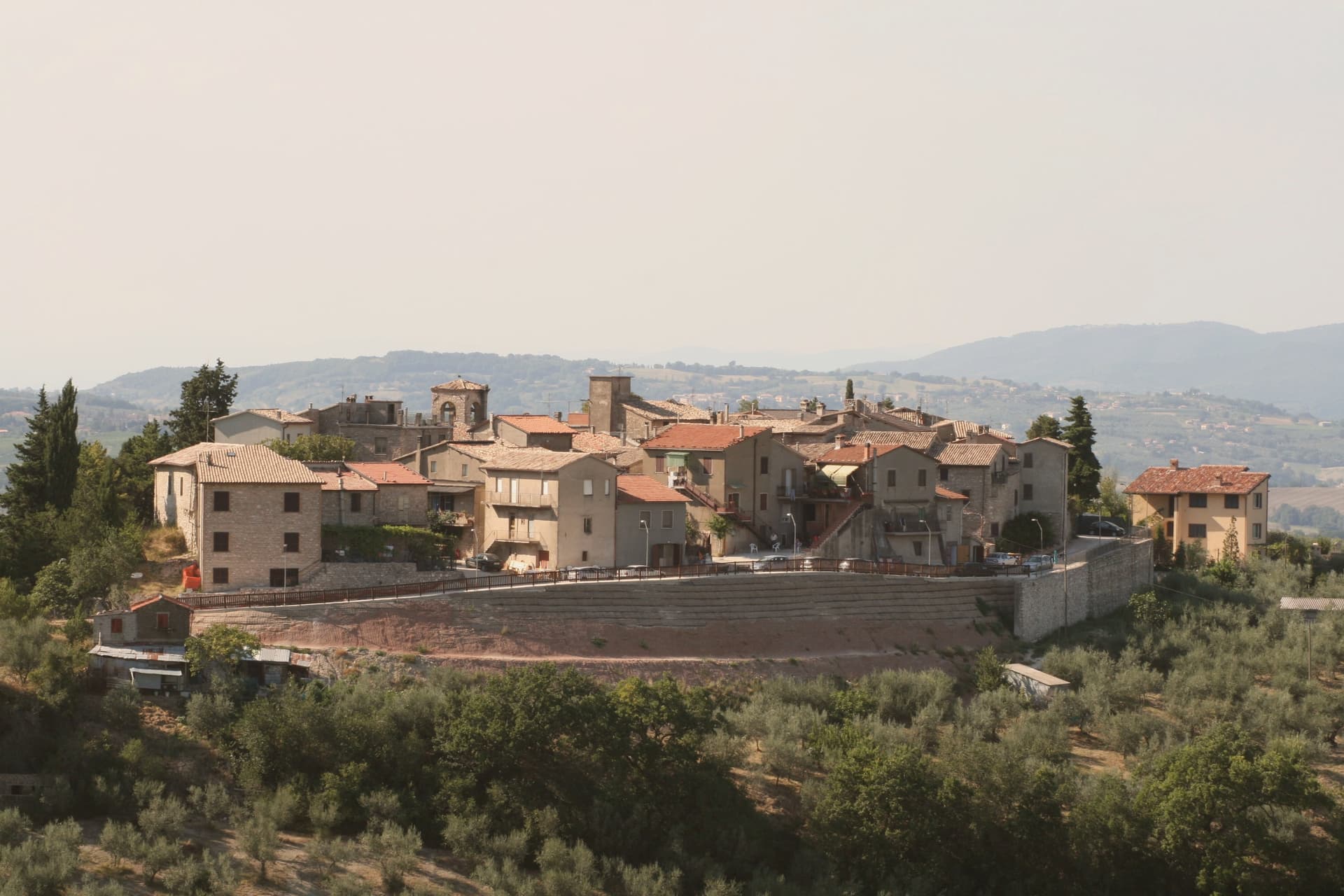
 The 9 best small olive oil towns in Umbria9 towns, Giano dell'Umbria among them.
How to get there
From Ancona / Pescara (AOI), about 2 hours by car.
Rome (FCO) is about 2h 32m away.
By car from the centre of Perugia 57 minutes or Ancona 2h 17m.
Coming by train into Perugia? Giano dell'Umbria is about 57 minutes away by road.
What to see
Abbazia di San Felice
The crypt below the church is the part worth the stop, a Romanesque space set beneath the rebuilt monastery, holding the ground plan of the oratory that came before it.
Castello di Montecchio
Fortified on the Monti Martani slope along the Via Flaminia, held by the lords of Giano from the 12th century; the walls and position over the road are still legible.
Villa Rufione
A rural villa site between Montecchio and Bastardo, on the Via Flaminia Vetus. Nothing remains to visit on the ground; the finds are what survive, held in the Antiquarium of Montecchio.
Borgo di Montecchio
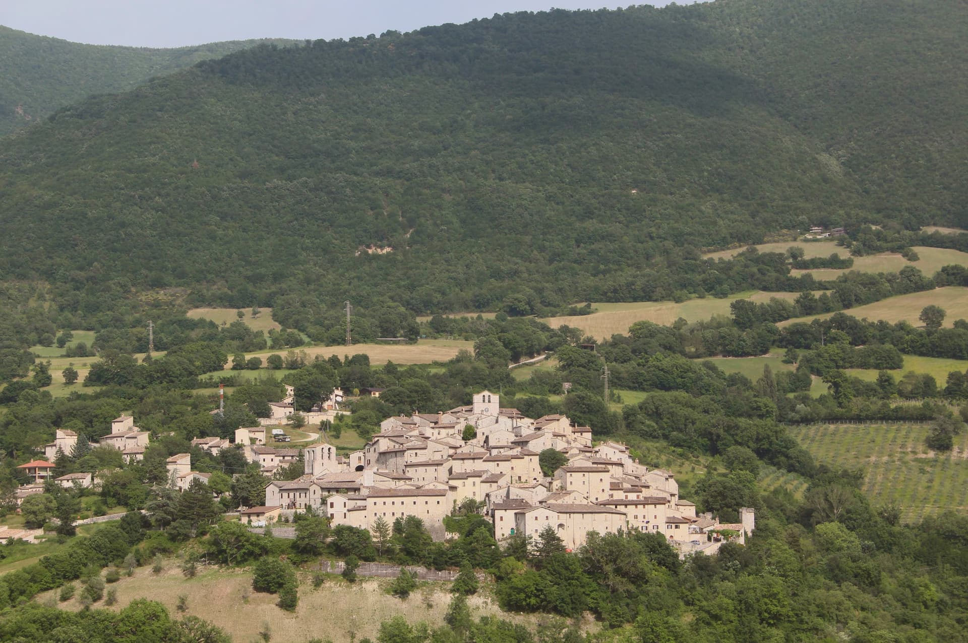
A medieval frazione on the ridge above Bastardo. The Antiquarium sits inside the restored castle complex, and the ridge gives views across the slopes below.
The slow-trip planner
Building a trip? Find where Giano dell'Umbria fits in a slow Italy circuit.
Answer five questions. We will shape a geographically coherent slow trip from the 1,000 Italian towns most travelers skip. Yours to save and share.
Living here
- Population 3,648
- In-betweeni
- Pharmacy in town
- High school within a 30-minute drive
- Nearest airport Ancona / Pescara, 2 h 6 min drive
- Regional capital Perugia, 57 min drive
Common questions
- What is Giano dell'Umbria known for?
- Giano dell'Umbria is a hill commune between Foligno, Spoleto and Todi, anchored by a Romanesque abbey built over the tomb of a fourth-century martyr.
- Where is Giano dell'Umbria?
- Giano dell'Umbria is a comune in the province of Perugia, in Umbria, at 547 meters above sea level.
- What is the nearest airport to Giano dell'Umbria?
- Ancona / Pescara (AOI), about 2 hours by car.
- How long is the drive from Perugia to Giano dell'Umbria?
- About 57 minutes by car.
- When is the best time to visit Giano dell'Umbria?
- Best in Apr–Oct. July is the warmest month, averaging 32 degrees, and November the wettest, with about 11 rain days.
- Is there a sagra or a festival in Giano dell'Umbria?
- The town keeps its patron saint's day: Felice di Massa Martana, 30 October.
- Which other towns are like Giano dell'Umbria?
- Città della Pieve, Arcevia and Mondavio.
- How many people live in Giano dell'Umbria?
- 3,648 at the 2023 count.
Tags & datadesignations · numbers · sources
The numbers
- Elevation: 547 m
- Population: 3,648
- Surface area: 44.48 km²
These figures were compiled from public directories: ISTAT, OpenStreetMap and Wikidata, and from the official listings of the guides named on this page. Town details change; verify with official sources before you travel.
Similar
Towns like Giano dell'Umbria
Città della Pieve
Province: Perugia
both inland, away from the coast · both between 3,000 and 10,000 people
Arcevia
Province: Ancona
both inland, away from the coast · both between 3,000 and 10,000 people
Mondavio
Province: Pesaro e Urbino
both inland, away from the coast · both between 3,000 and 10,000 people
Acqualagna
Province: Pesaro e Urbino
both inland, away from the coast · both between 3,000 and 10,000 people
Citerna
Province: Perugia
both inland, away from the coast · both between 3,000 and 10,000 people
Fosdinovo
Province: Massa-Carrara
both inland, away from the coast · both between 3,000 and 10,000 people
🎨 Borghi più belli d'Italia
More Borghi più belli d'Italia towns in Umbria
Acquasparta
Province: Terni
A hill town at 350 meters above the Naia valley, where a Renaissance duchy briefly became the seat of Europe's first scientific academy.
Allerona
Province: Terni
A stone borgo at 472 meters between the Paglia valley and the Valdichiana, an Orvieto outpost whose Monaldeschi castle fell to Charles V.
Arrone
Province: Terni
Medieval castle village on the left bank of the Nera at 243 meters, upstream from the largest man-made waterfall in the world.
Bettona
Province: Perugia
A hill town at 353 meters between the Topino and Chiascio rivers, the only Etruscan settlement ever built east of the Tiber.
Bevagna
Province: Perugia
Roman Mevania on the Umbrian plain at 225 meters, four medieval quarters that compete every June in a reconstructed market of the 13th century.