
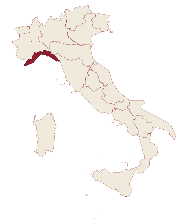
Liguria · Imperia
Dolceacqua
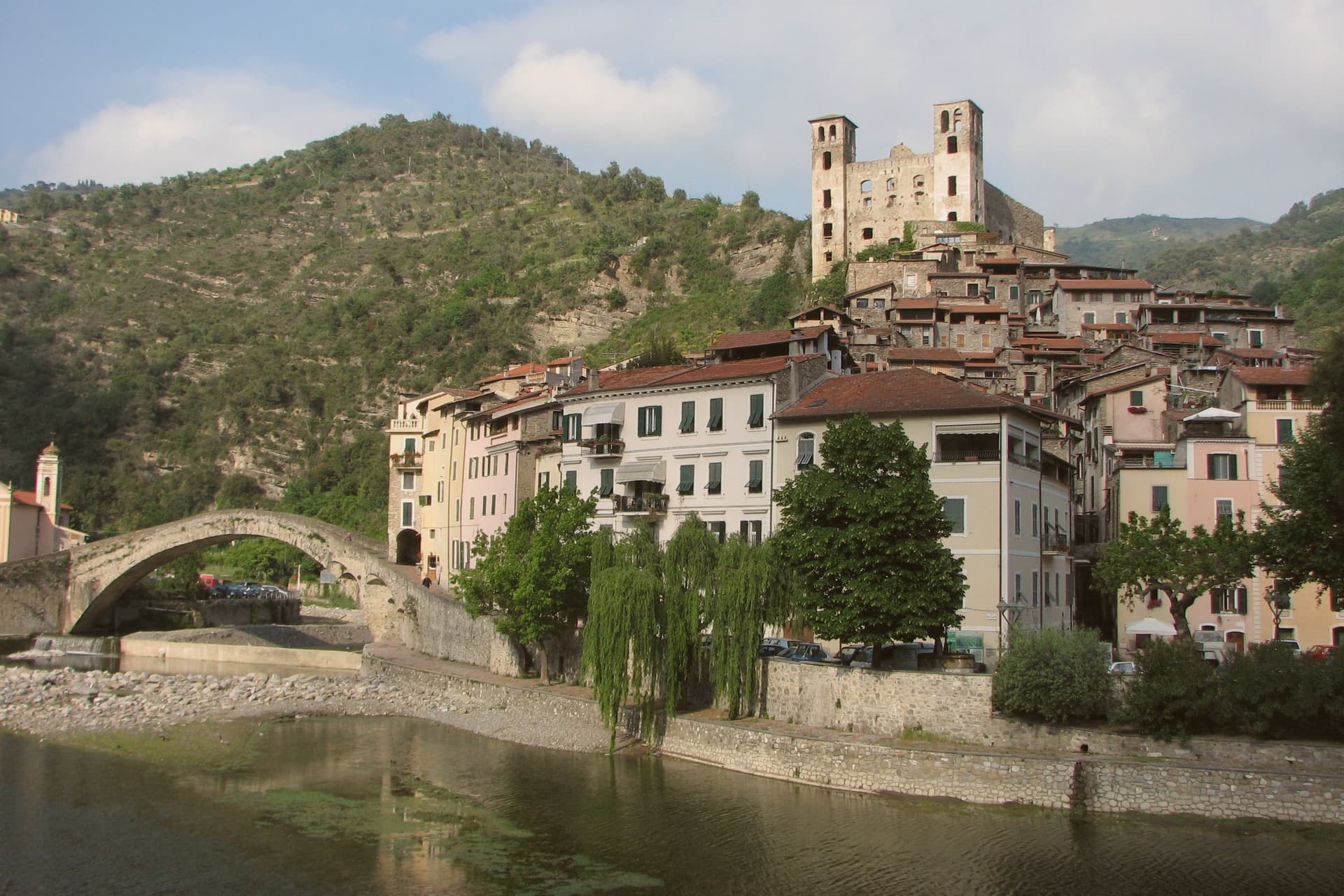
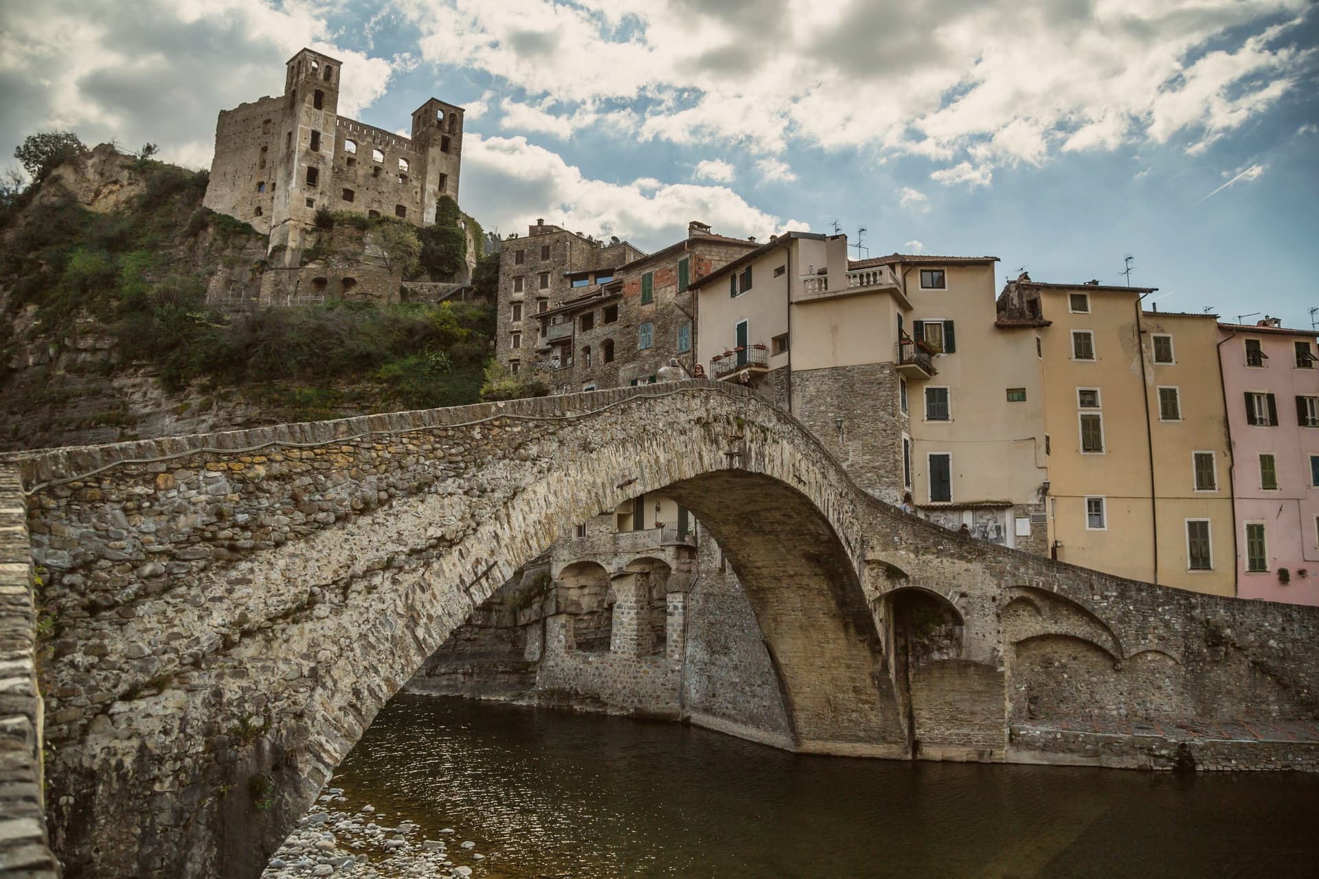
A two-banked medieval village split by a single-arch bridge from 1400, the one Monet came to paint in 1884.
- Best time
- Apr–Oct
- By car
- 2 h 10 min from Genoa
- Population
- 2,129
Known for
MONET'S BRIDGE
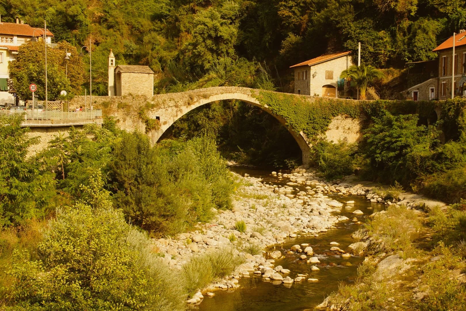
The single-arch Ponte Vecchio of 1400, painted four times by Claude Monet in January 1884; one canvas hangs at the Clark Art Institute.
ROSSESE DI DOLCEACQUA
Liguria's first DOC wine, granted in 1972, grown on terraced hills across fourteen Val Nervia and Val Crosia communes.
CASTELLO DEI DORIA
Fortress first documented in 1151, the Doria stronghold from 1270, traded with Savoy and France before abandonment in the 1700s.
When to visit
Best · Apr–Oct
- J13°
- F14°
- M16°
- A18°
- M22°
- J26°
- J29°
- A30°
- S26°
- O22°
- N17°
- D14°
- Best
- Hot or crowded
- Quiet
- Mostly closed
Daytime averages, 2020–2024. The sea is warmest in August at 27° and coldest in February at 14°. Weather data by Open-Meteo.com.
The festa: Antonio abate, 17 January
Why come
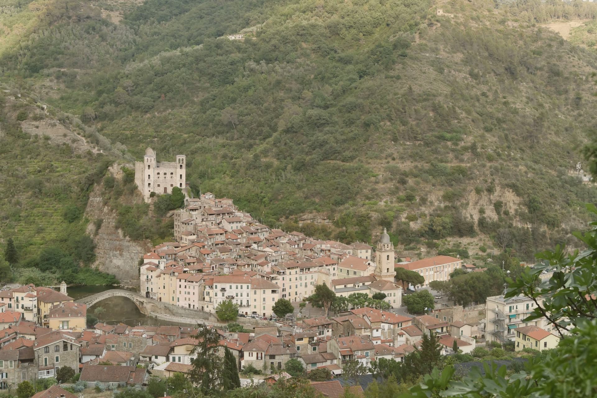
The village sits twenty kilometers from the French border and nine inland from Bordighera, in the Val Nervia. The river of the same name splits it into two: the older Terra on the left bank, its lanes stepping up toward the castle, and the newer Borgo on the right, where the parish church stands. The bridge is what makes the two halves legible as one village rather than two settlements facing each other across water.
The Doria held the fief from 1270, traded it with the Savoy, the French and the Spanish, and let the castle go by the mid-eighteenth century, so what remains above the rooftops is a ruin rather than a seat of power. The surrounding hills still work, producing Rossese di Dolceacqua. In January, the Festa di San Sebastiano carries a laurel tree hung with consecrated wafers through the lanes of both banks. The village, in other words, is still organized exactly as Monet found it in 1884: a river, two banks, and a bridge between them, with the working hillside and the ruined fortress as the constants either side of the water.
The Sunday letter
Dolceacqua is on our list. Its letter is still to come.
We are writing about all 1,000 of these towns, one at a time, in a free letter every Sunday: the photo, the food, the festa. That is our mission. Sign up and you will be there when Dolceacqua comes up. By Peter & Sophia, from Pietrasanta.
Read on
Dolceacqua in our articles
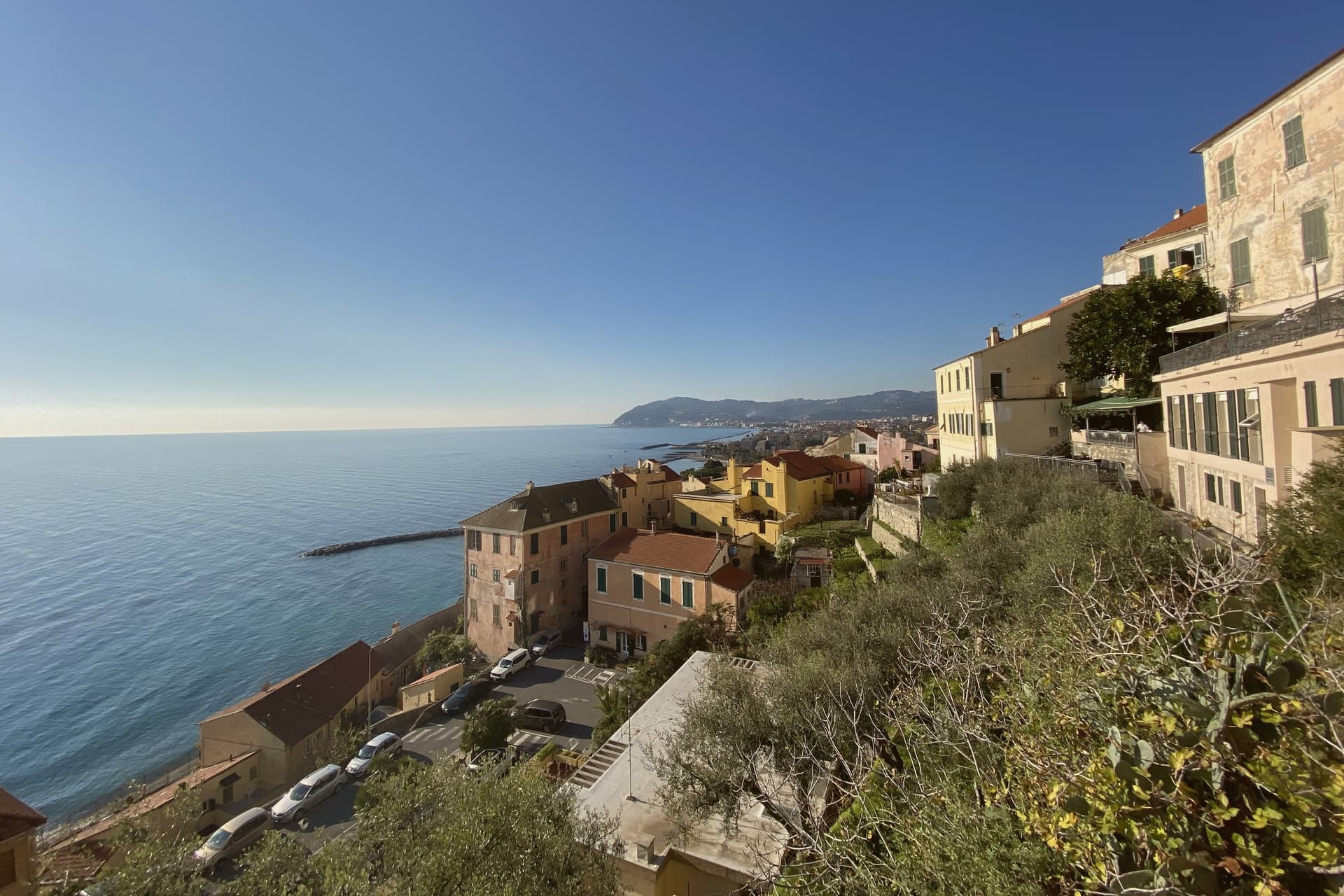 The best coastal towns in the province of Imperia6 towns, Dolceacqua among them.
 The best olive oil towns that eat well in Liguria8 towns, Dolceacqua among them.
 The best olive oil towns in the province of Imperia9 towns, Dolceacqua among them.
 The best small coastal towns with a serious restaurant in Liguria10 towns, Dolceacqua among them.
How to get there
From Genoa (GOA), about 2 hours by car.
Turin (TRN) is about 3h 21m away.
By car from the centre of Milan 3h 28m.
What to see
Ponte Vecchio
Thirty-three meters across the river, the span that carried Monet's eye from the water up to the fortress above. It is what joins the village's two banks into one place.
Castello dei Doria
Ruined above the rooftops, with a partial restoration underway. The climb up through the old quarter ends at its walls, looking back down over both halves of the village.
Terra
Older half of the village on the left bank, a vertical network of carruggi climbing under arched passageways to the castle.
Chiesa di Sant'Antonio Abate
Parish church on the Borgo side, with a baroque façade and a polyptych attributed to Ludovico Brea.
The slow-trip planner
Building a trip? Find where Dolceacqua fits in a slow Italy circuit.
Answer five questions. We will shape a geographically coherent slow trip from the 1,000 Italian towns most travelers skip. Yours to save and share.
We recommend
Where to eat
Not our picks, but places the guides put their name to: a Michelin star, a Gambero Rosso fork, a Slow Food snail, a Michelin Key for the hotels. Worth a table, a counter, or a night when you pass through.
A ViassaRistorante
A Viassa has a Slow Food snail to its name.
Casa e BottegaBistrot
A Gambero Rosso listing, at Casa e Bottega.
CASAeBOTTEGARistorante
CASAeBOTTEGA carries a Michelin Bib Gourmand.
Living here
- Population 2,129
- In-betweeni
- Pharmacy in town
- High school within a 30-minute drive
- Nearest airport Genoa, 2 h 5 min drive
- Regional capital Genova, 2 h 10 min drive
Common questions
- What is Dolceacqua known for?
- Dolceacqua is a two-banked medieval village split by a single-arch bridge from 1400, the one Monet came to paint in 1884.
- Where is Dolceacqua?
- Dolceacqua is a comune in the province of Imperia, in Liguria, at 51 meters above sea level.
- What is the nearest airport to Dolceacqua?
- Genoa (GOA), about 2 hours by car.
- How long is the drive from Milan to Dolceacqua?
- About 3h 28m by car.
- When is the best time to visit Dolceacqua?
- Best in Apr–Oct. August is the warmest month, averaging 30 degrees, and May the wettest, with about 11 rain days.
- Is there a sagra or a festival in Dolceacqua?
- The town keeps its patron saint's day: Antonio abate, 17 January.
- Which other towns are like Dolceacqua?
- Borgio Verezzi, Noli and Toirano.
- How many people live in Dolceacqua?
- 2,129 at the 2023 count.
Tags & datadesignations · numbers · sources
Recognised as
The numbers
- Elevation: 51 m
- Population: 2,129
- Surface area: 20.28 km²
These figures were compiled from public directories: ISTAT, OpenStreetMap and Wikidata, and from the official listings of the guides named on this page. Town details change; verify with official sources before you travel.
Similar
Towns like Dolceacqua
Borgio Verezzi
Province: Savona
both on the Ligurian coast · both under 3,000 people
Noli
Province: Savona
both on the Ligurian coast · both under 3,000 people
Toirano
Province: Savona
both on the Ligurian coast · both under 3,000 people
Moneglia
Province: Genova
both on the Ligurian coast · both under 3,000 people
Stintino
Province: Sassari
both under 3,000 people · both near sea level
Parghelia
Province: Vibo Valentia
both under 3,000 people · both near sea level
🟠 Bandiera Arancione
More Bandiera Arancione towns in Liguria
Apricale
Province: Imperia
A medieval hill village in the Nervia Valley, named for the Latin apricus, sunny, with a tenth-century castle shaped like a lizard on the rock.
Badalucco
Province: Imperia
A medieval village wrapped in a bend of the Argentina torrent, with murals on its caruggi and a Slow Food bean on its terraces.
Brugnato
Province: La Spezia
The medieval ecclesiastical capital of an inland Ligurian valley, seat of a diocese from 1133 to 1820, with a co-cathedral built over a Columban monastery.
Castelnuovo Magra
Province: La Spezia
A ridge village on the Liguria-Tuscany border where a marquisate treaty ended decades of conflict with the bishops of Luni.
Castelvecchio di Rocca Barbena
Province: Savona
A stone village of 130 residents at 420 meters, built into the southern foot of a 1,142-meter limestone outcrop.