
Abruzzo · L'Aquila
Capistrello
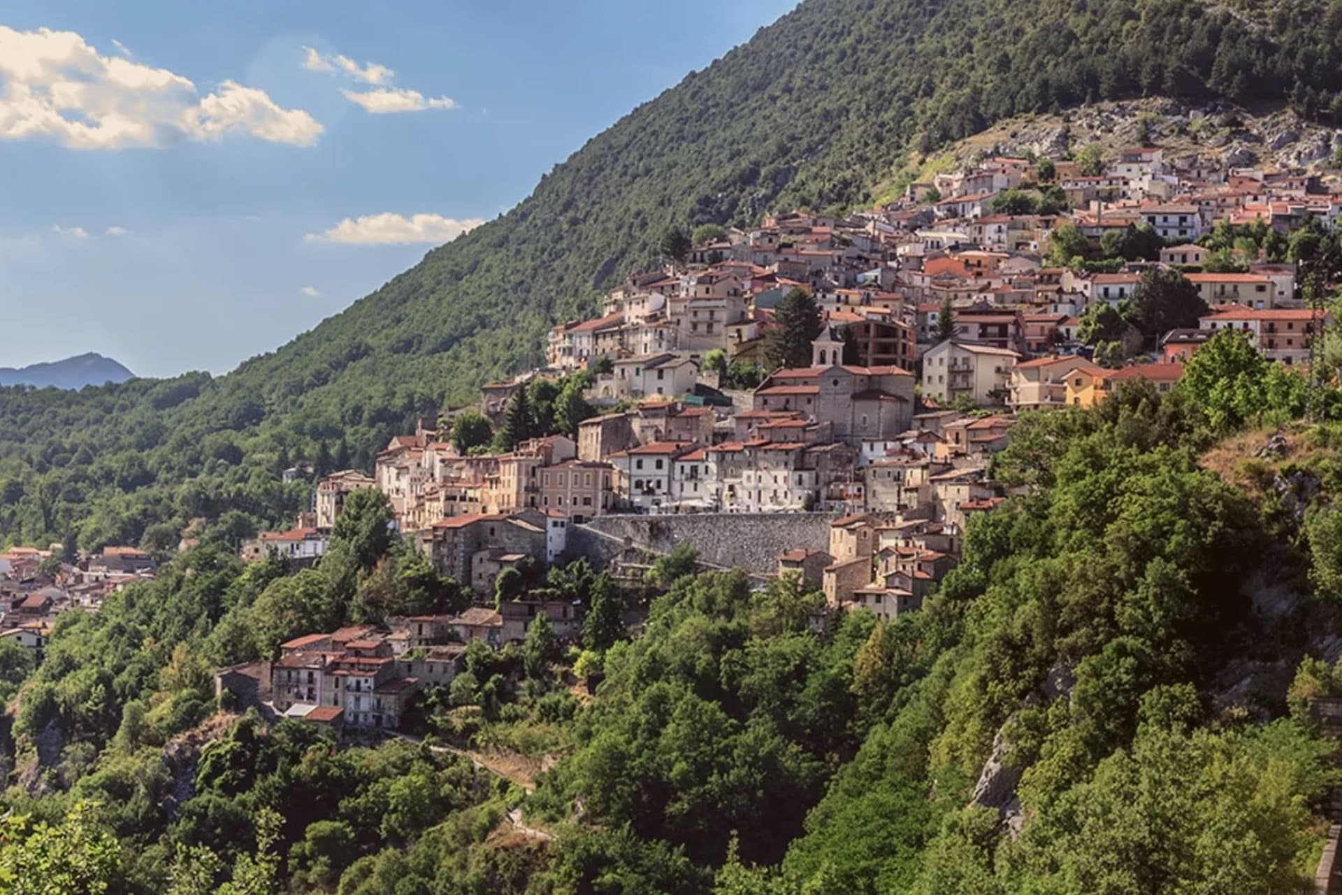
At 734 meters where the upper Liri valley meets the Marsica, the village where an emperor's tunnel emptied a lake into a river.
- Best time
- May–Oct
- By car
- 1 h 20 min from Rome
- By train
- Station in the comune
- Population
- 4,793
Known for
CLAUDIUS TUNNELS
Eastern mouth of the 52 AD imperial drainage tunnel from Lake Fucino, one of the largest hydraulic projects in the Roman world.
LIRI HEADWATERS
Where the Liri river takes on the Fucino outflow before running south into the Roveto valley toward Lazio.
MARSICA EDGE
Border between the Marsica plateau and the Liri valley, with the Simbruini range rising west toward Filettino in Lazio.
When to visit
Best · May–Oct
- J8°
- F12°
- M12°
- A15°
- M20°
- J25°
- J30°
- A29°
- S24°
- O19°
- N13°
- D10°
- Best
- Hot or crowded
- Quiet
- Mostly closed
Daytime averages, 2020–2024. Weather data by Open-Meteo.com.
The festa: Antonio di Padova, 13 June
Why come
The first settlements on the site date to the Neolithic, and the modern town grew up around the tunnel mouth rather than the other way around. Capistrello borders Avezzano and Tagliacozzo along with five other communes, sitting at the corner where Abruzzo meets Lazio, with Filettino just across the regional line. The population is around 4,800.
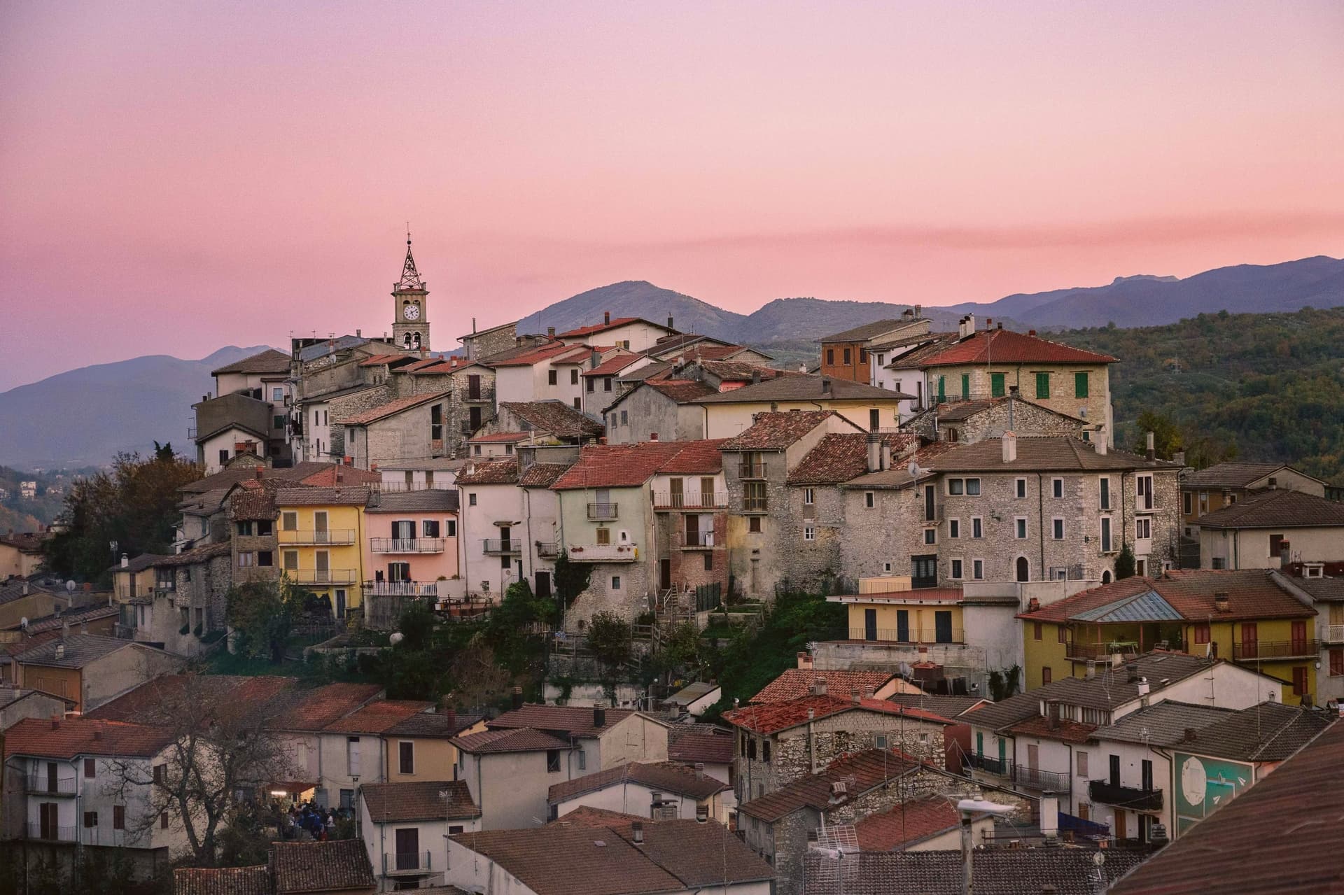
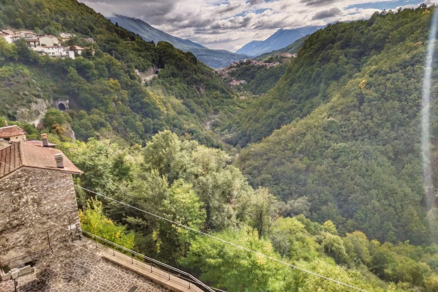
The old village sits above the river on the valley's upper lip, stone houses stepped toward a small piazza, while the tunnel outflow lies below at the level of the water itself. Behind the rooftops the Simbruini slopes rise into chestnut wood, the same high ground that feeds the river its cold, constant flow before it turns south for Lazio. The town reads as a hinge point: plateau above, valley below, and underground, still doing the job it was built for, the channel that connects them.
The Sunday letter
Capistrello is on our list. Its letter is still to come.
We are writing about all 1,000 of these towns, one at a time, in a free letter every Sunday: the photo, the food, the festa. That is our mission. Sign up and you will be there when Capistrello comes up. By Peter & Sophia, from Pietrasanta.
Read on
Capistrello in our articles
 The best mountain towns you can reach by train within 90 minutes of Roma6 towns, Capistrello among them.
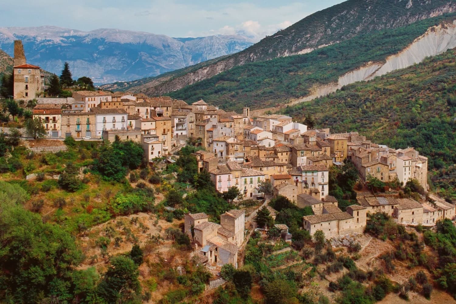 The 9 best small mountain towns you can reach by train in the province of L'Aquila9 towns, Capistrello among them.
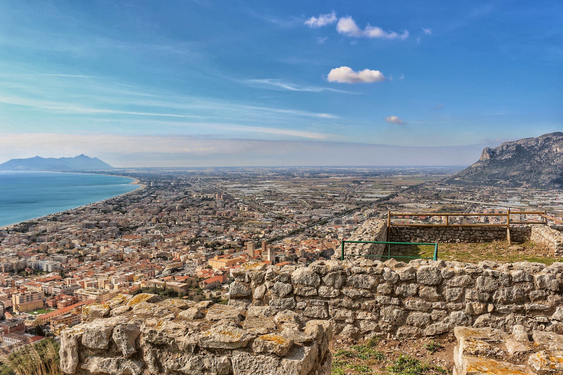 10 comuni exactly between Rome and Naples10 towns, Capistrello among them.
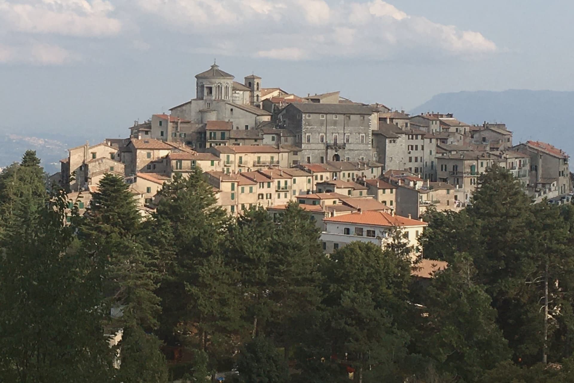 The best hidden mountain towns within 90 minutes of Roma10 towns, Capistrello among them.
How to get there
From Rome (FCO), about 2 hours by car.
Naples / Salerno (NAP) is about 2 hours away.
By car from the centre of Pescara 1h 24m or Naples 2h 10m.
There is a railway station in the comune, so you can arrive without a car.
Coming by train into Roma Termini? Capistrello is about 1h 19m away by road.
What to see
Cunicoli di Claudio
The tunnel runs six kilometers underground with a drop of about eight meters, an average gradient of 1.5 meters per kilometer, still traceable beneath the town.
Borgo storico
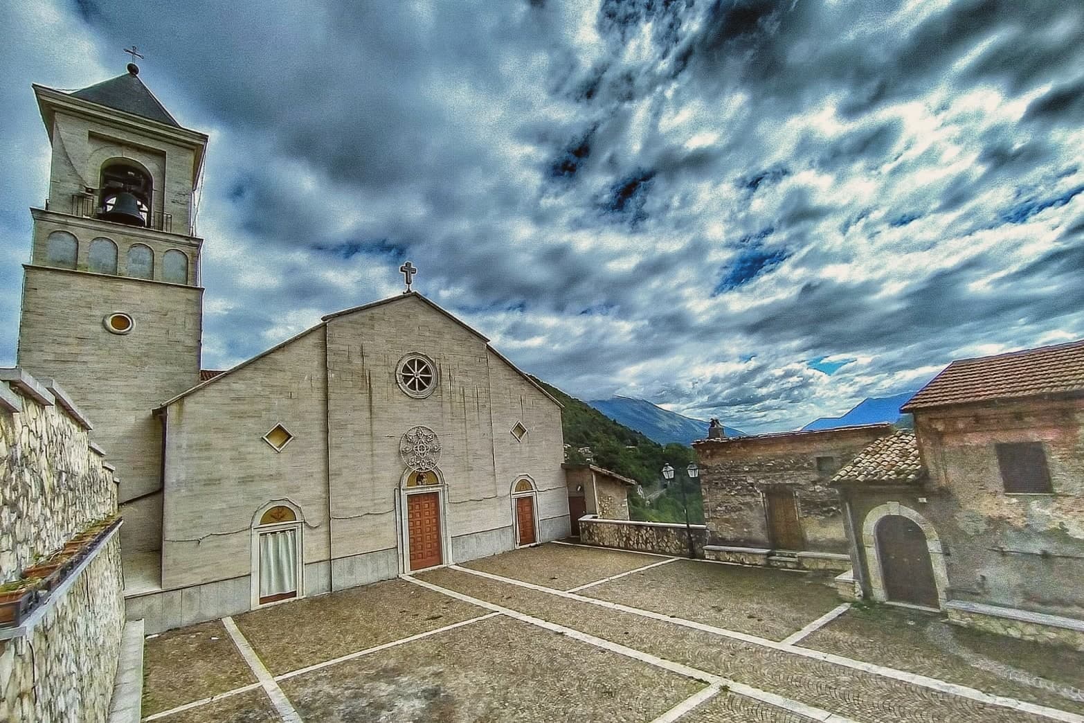
Old village above the river, with stone houses stepped up the slope and a small piazza at the upper edge.
Fiume Liri
Cold river that emerges from the Simbruini springs and runs south through the valley, picking up the Fucino outflow at Capistrello.
Monti Simbruini
Forested range of the central Apennines forming the western horizon, with chestnut woods and trails toward Filettino in Lazio.
The slow-trip planner
Building a trip? Find where Capistrello fits in a slow Italy circuit.
Answer five questions. We will shape a geographically coherent slow trip from the 1,000 Italian towns most travelers skip. Yours to save and share.
Living here
- Population 4,793
- Commuter belti
- Pharmacy: none mapped
- High school within a 30-minute drive
- Train station in the comune
- Nearest airport Rome, 2 h 1 min drive
- Regional capital L'Aquila, 45 min drive
Common questions
- What is Capistrello known for?
- At 734 meters where the upper Liri valley meets the Marsica, the village where an emperor's tunnel emptied a lake into a river.
- Where is Capistrello?
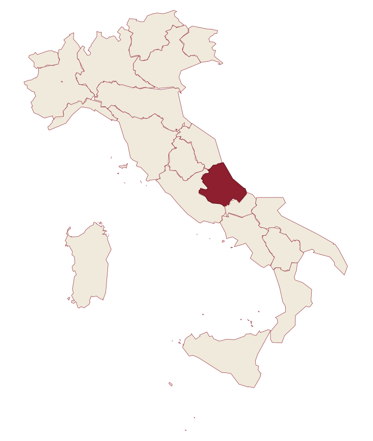
- Capistrello is a comune in the province of L'Aquila, in Abruzzo.
- What is the nearest airport to Capistrello?
- Rome (FCO), about 2 hours by car.
- Can you get to Capistrello without a car?
- Yes. There is a railway station in the comune, so you can arrive by train.
- How long is the drive from Pescara to Capistrello?
- About 1h 24m by car.
- When is the best time to visit Capistrello?
- Best in May–Oct. July is the warmest month, averaging 30 degrees, and May the wettest, with about 13 rain days.
- Is there a sagra or a festival in Capistrello?
- The town keeps its patron saint's day: Antonio di Padova, 13 June.
- Which other towns are like Capistrello?
- Pescina, Tagliacozzo and Spezzano della Sila.
- How many people live in Capistrello?
- 4,793 at the 2023 count.
Tags & datadesignations · numbers · sources
Recognised as
The numbers
- Elevation: 734 m
- Population: 4,793
- Surface area: 60.97 km²
These figures were compiled from public directories: ISTAT, OpenStreetMap and Wikidata, and from the official listings of the guides named on this page. Town details change; verify with official sources before you travel.
Similar
Towns like Capistrello
Pescina
Province: L'Aquila
both mountain-valley towns · both between 3,000 and 10,000 people
Tagliacozzo
Province: L'Aquila
both mountain-valley towns · both between 3,000 and 10,000 people
Spezzano della Sila
Province: Cosenza
both mountain-valley towns · both between 3,000 and 10,000 people
Teglio
Province: Sondrio
both mountain-valley towns · both between 3,000 and 10,000 people
Carsoli
Province: L'Aquila
both mountain-valley towns · both between 3,000 and 10,000 people
Castel di Sangro
Province: L'Aquila
both mountain-valley towns · both between 3,000 and 10,000 people
💎 Borghi Autentici
More Borghi Autentici towns in Abruzzo
Archi
Province: Chieti
A 492-meter rocky spur called the Terrazza sul Sangro, fief of del Balzo, Cantelmo, Colonna and Carafa, now Città del Tartufo and Città dell'Olio.
Balsorano
Province: L'Aquila
A pentagonal fortress above the Liri river that became a backdrop for 1970s Italian horror cinema.
Barrea
Province: L'Aquila
A 1,066-meter spur above an artificial lake at the heart of the Abruzzo National Park, with a Samnite necropolis and an 11th-century di Sangro castle.
Calascio
Province: L'Aquila
A village of 125 people under the highest castle in the Apennines, cast as the monk's refuge in Ladyhawke.
Campo di Giove
Province: L'Aquila
At 1,064 meters under the southwestern Maiella, the highest village in the park, named for a Roman temple to Jupiter.