
The best mountain towns you can reach by train within 90 minutes of Roma
The line out of Rome towards Abruzzo does something no other route from the capital manages: it leaves the plain behind entirely. Within the space of a morning the carriage windows fill with beech forest, limestone escarpments and the high bowl of the Marsica, where snow lies on the ridges into spring and the houses are built from grey mountain stone rather than tufa. This is lentil and chickpea country, saffron country, land of mutton stewed slowly and cheeses aged in caves. Autumn brings porcini and chestnuts to the market stalls, and by January the cold is the serious kind, the sort that justifies a second bowl of soup.
Most people leaving Rome for a day in the hills go to the Castelli Romani, to Frascati and Castel Gandolfo, and the reasons are obvious. The trains are frequent, the wine cellars are ready for visitors, the view back over the Campagna is worth the fare. But these are hill towns rather than mountain towns, and on a Sunday in good weather the volcanic ridge above the lakes carries most of the city with it. The Gran Sasso, further out, has the opposite problem: spectacular, well known, and awkward without a car.
Keep going east along the same rails and the Apennines proper begin. The towns here sit at real altitude, in valleys and on rocky spurs above the Piana del Fucino, with a station in the town or close enough to walk. Fewer people make the trip, partly because the guidebooks stop at the ring of hills nearest the capital. These are the mountain towns the railway still reaches.
Of the 30 communes we have mapped within 90 minutes of Roma, 6 qualify as mountain towns you can reach by train: each sits in the mountains, and we have confirmed each is reachable without a car. The smallest, Sante Marie, has 1,075 residents.
Elsewhere in the catalogue: The best hidden mountain towns within 90 minutes of Roma and The best mountain towns within 75 minutes of Rome.
Sante Marie
Why visit Sante Marie
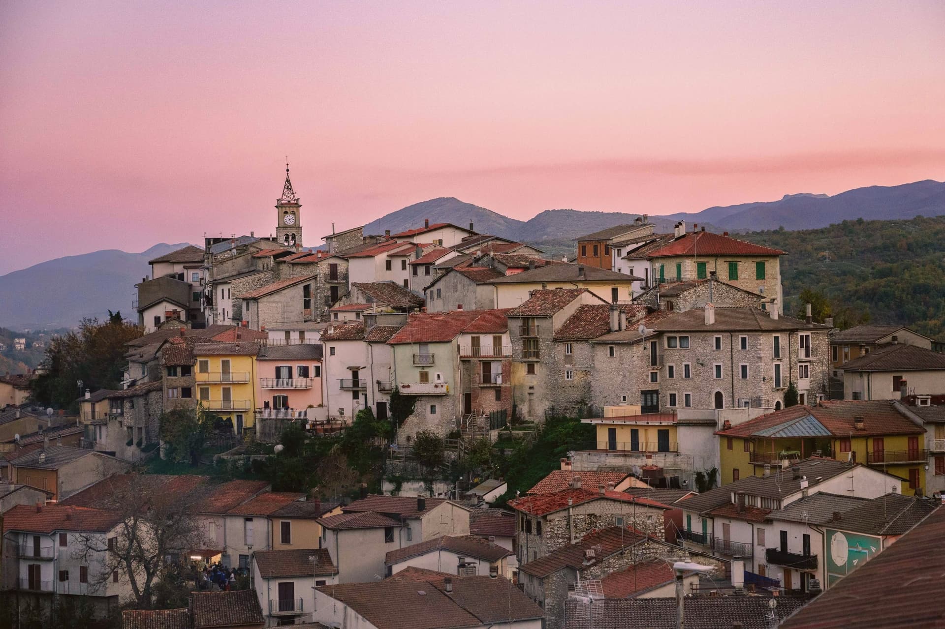
Sante Marie sits at 950 meters in the western Marsica, at the border between L'Aquila and Rieti provinces. The town is the capoluogo of six fractions scattered through the hills: Scanzano, Castelvecchio, Val dei Varri, Santo Stefano, Tubione, and San Giovanni.
Its medieval history runs with the Fief of Tagliacozzo, held in turn by the Counts of Marsi, the De Pontibus, the Orsini and finally the Colonna. The Grotte di Luppa Reserve, established in 2005, sits in the surrounding karst country of the Simbruini and Carseolani mountains.
The town is best known now as the starting point of the Cammino dei Briganti, a seven-day circular trail at altitudes between 800 and 1,300 meters that follows the routes of the Cartore brigands, the post-Risorgimento bands who used these forests as cover. Walkers pick up a safe-conduct pass at the reserve office in the village before setting out.
We confirmed you can reach this one by train.
What to see in Sante Marie
- Cammino dei Briganti. Seven-day circular hiking trail at 800 to 1,300 meters along the routes of the Cartore brigands, starting from Sante Marie.
- Riserva Naturale Grotte di Luppa. Karst reserve established in 2005 protecting caves and Apennine landscape on the Simbruini and Carseolani mountains border.
- Centro storico. Medieval hill village above the modern lower town, the historic core of the Tagliacozzo fief held by Marsi, Orsini and Colonna.
How to get to Sante Marie
There is a railway station in the town, so you can arrive without a car and never need one while you are here. Roma is roughly 68 minutes away by road.
Our tip
May through October is the hiking window. Late May and early June bring the slopes into bloom and the Cammino dei Briganti at its best, with cool morning starts and 1,300-meter ridge crossings still open. September and October dry out the trail and turn the chestnut woods gold. Sagra del Porcino falls in August.
Scurcola Marsicana
Why visit Scurcola Marsicana
Scurcola Marsicana sits on the western rim of what was once the Fucine lake. The earliest finds in the area date to the ninth and eighth centuries BC; the toponym is Lombard and shows up around 1150, long before the events that made the place known.
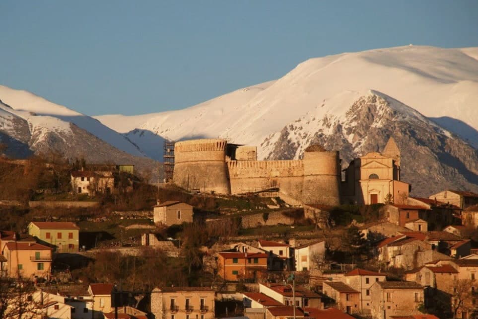
The village and its castle sit on the hill, the abbey and the battlefield lie on the plain below, and the mountain rises behind the whole arrangement: high ground, open ground, and the ruin that commemorates what happened on the open ground, all within sight of one another on the plain. The other layer of history is darker: after Italian unification in 1861, Piedmontese troops carried out a massacre of the local population.
The commune has 2,670 residents today, and the Festone every August reenacts the Madonna della Vittoria tradition. A small town, then, built around a plain that settled a dynastic war, with a second, more recent violence folded into the same small territory without any monument to answer it.
We confirmed you can reach this one by train.
What to see in Scurcola Marsicana
- Ex Abbazia di Santa Maria della Vittoria. Now ruined but still readable: broken walls and arches standing in the open plain, the clearest physical trace left of the 1268 victory and the monks who once held the site.
- Castello Orsini. Medieval fortress on the hill above the village, later passed to the Colonna family with the rest of the marquisate.
- Piani Palentini. The wide plain stretches flat in front of the village, open ground with little to break the sightline, the kind of terrain that explains why an army would meet another here rather than in the hills.
How to get to Scurcola Marsicana
There is a railway station in the town, so you can arrive without a car and never need one while you are here. Roma is roughly 71 minutes away by road.
Our tip
May through October is the working window on the Marsica plateau. The Piani Palentini and Monte San Nicola open to walkers, the August Festone fills the streets with the Madonna della Vittoria procession, and the air at 700 meters stays cool through summer. June and September are the cleanest months for the battlefield walk and the abbey ruins. Sagra della Coda alla Vaccinara falls in August.
Capistrello
Why visit Capistrello
The first settlements on the site date to the Neolithic, and the modern town grew up around the tunnel mouth rather than the other way around. Capistrello borders Avezzano and Tagliacozzo along with five other communes, sitting at the corner where Abruzzo meets Lazio, with Filettino just across the regional line.
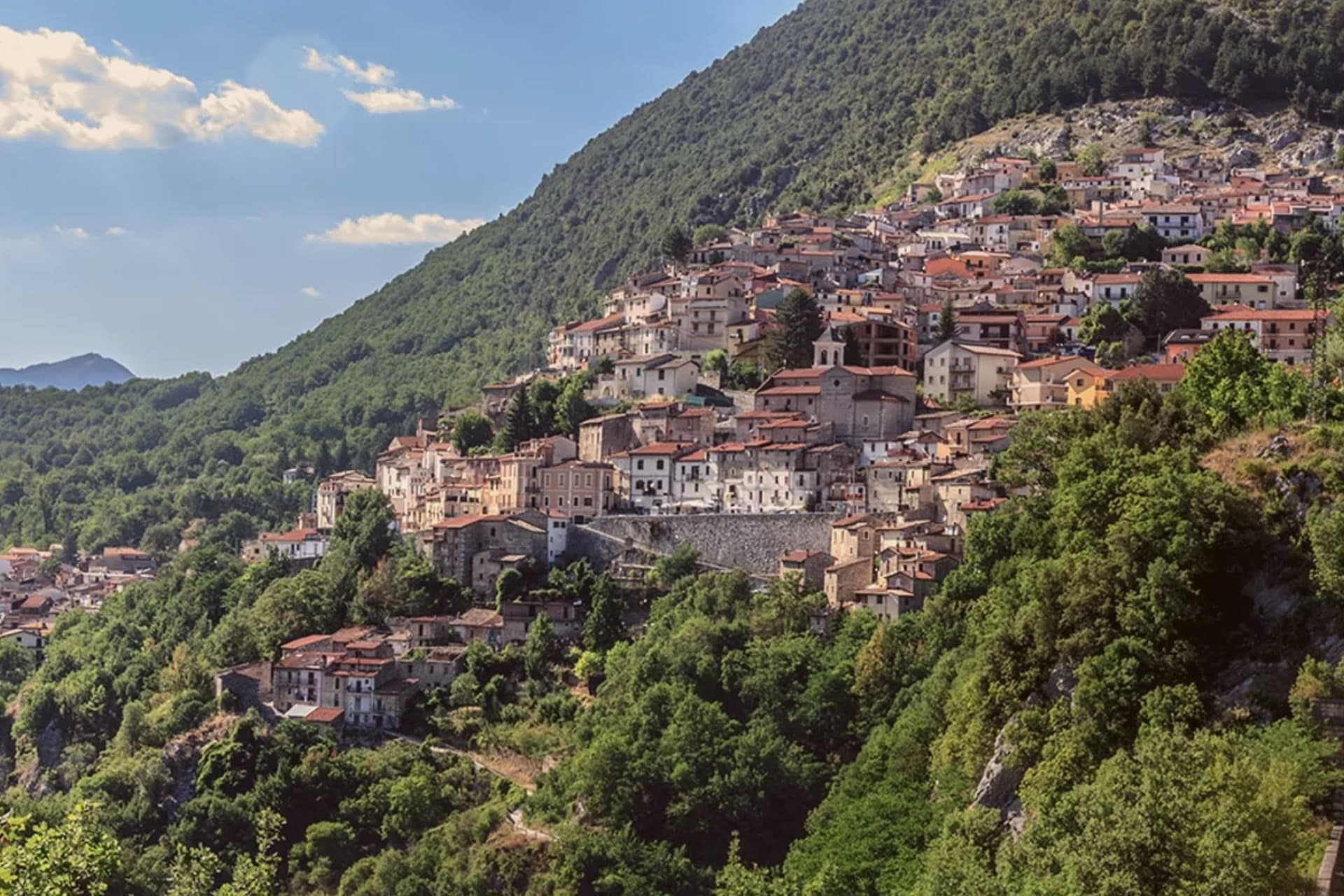
The population is around 4,800. The old village sits above the river on the valley's upper lip, stone houses stepped toward a small piazza, while the tunnel outflow lies below at the level of the water itself.
Behind the rooftops the Simbruini slopes rise into chestnut wood, the same high ground that feeds the river its cold, constant flow before it turns south for Lazio. The town reads as a hinge point: plateau above, valley below, and underground, still doing the job it was built for, the channel that connects them.
We confirmed you can reach this one by train.
What to see in Capistrello
- Cunicoli di Claudio. The tunnel runs six kilometers underground with a drop of about eight meters, an average gradient of 1.5 meters per kilometer, still traceable beneath the town.
- Borgo storico. Old village above the river, with stone houses stepped up the slope and a small piazza at the upper edge.
- Fiume Liri. Cold river that emerges from the Simbruini springs and runs south through the valley, picking up the Fucino outflow at Capistrello.
How to get to Capistrello
There is a railway station in the town, so you can arrive without a car and never need one while you are here. Roma is roughly 80 minutes away by road.
Our tip
May through October works for Capistrello: the chestnut woods on the Simbruini fully leaf out, the Liri runs clear, and the Roman tunnel mouth is accessible without snow risk. July and August bring heat in the lower valley and a steady stream of weekend visitors from the Avezzano basin. June and September are quieter and cooler, the better months for walking the upper village or the trails toward Cappadocia and Filettino.
Carsoli
Why visit Carsoli
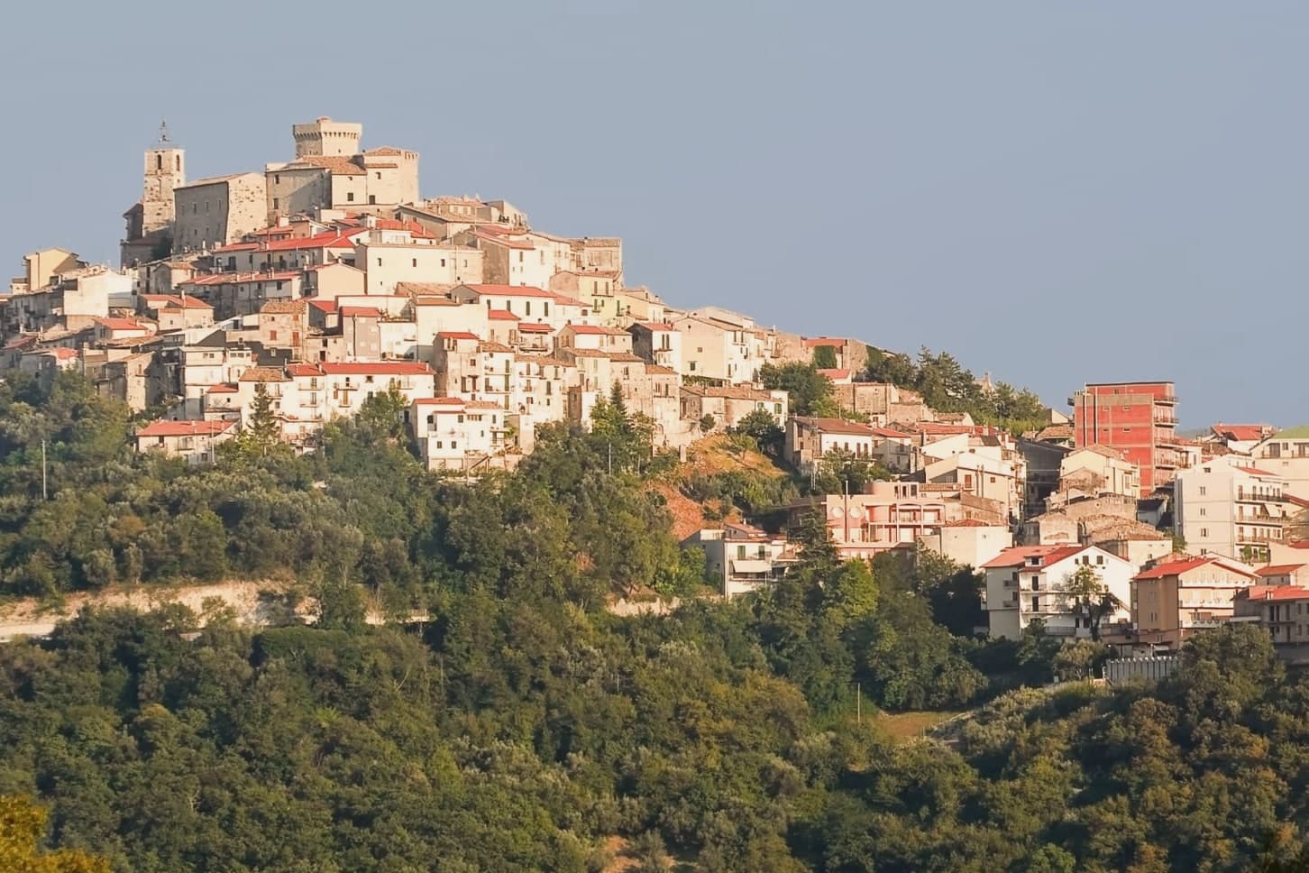
Carsoli sits at 616 meters in the Marsica, between the plain of the former Fucino lake and the valley of the Turano river, with Monte Velino and Monte Calvo both rising above 2,000 meters on its skyline. The modern town stands four kilometres northeast of Alba Fucens's neighbor Carsioli, the Roman colony founded between 302 and 298 BC as a stronghold to guard the road to Alba Fucens; walls and an aqueduct still stand at the locality of Muro Pertuso, surveyed in 1901 by the archaeologists Pfeiffer and Ashby.
The town's religious and military history sits closer to the modern centre than the Roman ruins do. The Castle of Colle Sant'Angelo, raised around the year 1000 by the Counts of the Marsi, stood until later wars, and ruins of its adjoining church remain near the site.
Carsoli's autumn season runs on chestnut and polenta fairs with deep peasant roots, and the patron-saint feast of Santa Vittoria fills the streets with procession and stalls. The town's layout traces its own history: a Roman garrison post relocated over centuries into a medieval and then modern settlement, so that walking from the modern centre outward means walking backward through the different periods that built it.
We confirmed you can reach this one by train.
What to see in Carsoli
- Sito archeologico di Carsioli. The city walls and aqueduct still stand at the site, four km from the modern town, surveyed by archaeologists in 1901.
- Chiesa di Santa Maria in Cellis. The church stands on the edge of town, with a rose window set over the main portal.
- Chiesa di Sant'Antonio. 16th-century church inside the centro storico, used as a hospital and later as a nursery, with a frescoed altar inside.
How to get to Carsoli
There is a railway station in the town, so you can arrive without a car and never need one while you are here. Roma is roughly 60 minutes away by road.
Our tip
May through October is the strong window for Carsoli. Spring brings clear views toward Monte Velino and the high Marsica meadows in flower. June and September are the most comfortable months at 616 meters, with cool nights and dry days.
Tagliacozzo
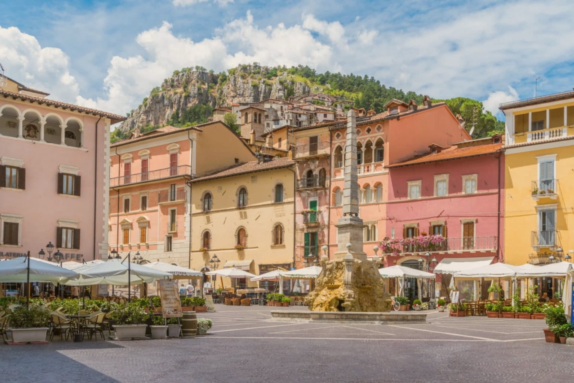
Why visit Tagliacozzo
The town sits at 740 meters at the foot of a mountain whose summit, 998 meters up, still carries the ruined castle of the counts of the Marsi. Below it, the built-up center reads in layers: the palace begun by Roberto Orsini at the end of the fourteenth century passed later to the Colonna, and Marcantonio Colonna, third duke of Tagliacozzo, went on to be the hero of Lepanto in 1571.
The old town gathers around Piazza dell'Obelisco, where Renaissance loggias ring a fountain-obelisk raised in 1824, and the Franciscan convent's cloister sits within the same medieval fabric, now doubling as a festival venue alongside the nineteenth-century theater. Tagliacozzo gave its name to the battle fought on the plain to its east, where Charles of Anjou broke Hohenstaufen power in 1268, a moment Dante thought worth naming in the Inferno.
A mountain fortress, a ducal palace with a duke who fought at Lepanto, and a battlefield that changed a kingdom: the town's whole layout, castle above, palace and piazza below, still traces the passage from medieval military seat to Renaissance ducal capital.
We confirmed you can reach this one by train.
What to see in Tagliacozzo
- Piazza dell'Obelisco. Old-town square ringed by Renaissance loggias, with a fifteen-meter fountain-obelisk built in 1824 and a statue of John the Baptist on top.
- Palazzo Ducale Orsini-Colonna. 4,000 square meters across two floors, the join between late Gothic below and Renaissance above visible in the window styles.
- Castello Orsini. Ruined medieval fortress on the summit of Monte Civita, 998 meters above the town, built by the counts of the Marsi between the tenth and twelfth centuries.
How to get to Tagliacozzo
There is a railway station in the town, so you can arrive without a car and never need one while you are here. Roma is roughly 70 minutes away by road.
Our tip
May through October is the working season for Tagliacozzo. The festival fills August with concerts in the Palazzo Ducale courtyard and the cloister of San Francesco, and the Piazza dell'Obelisco stays busy until late. June and September are the cleanest months, with long evenings and walkable trails up to Monte Civita and the castle ruins.
L'Aquila
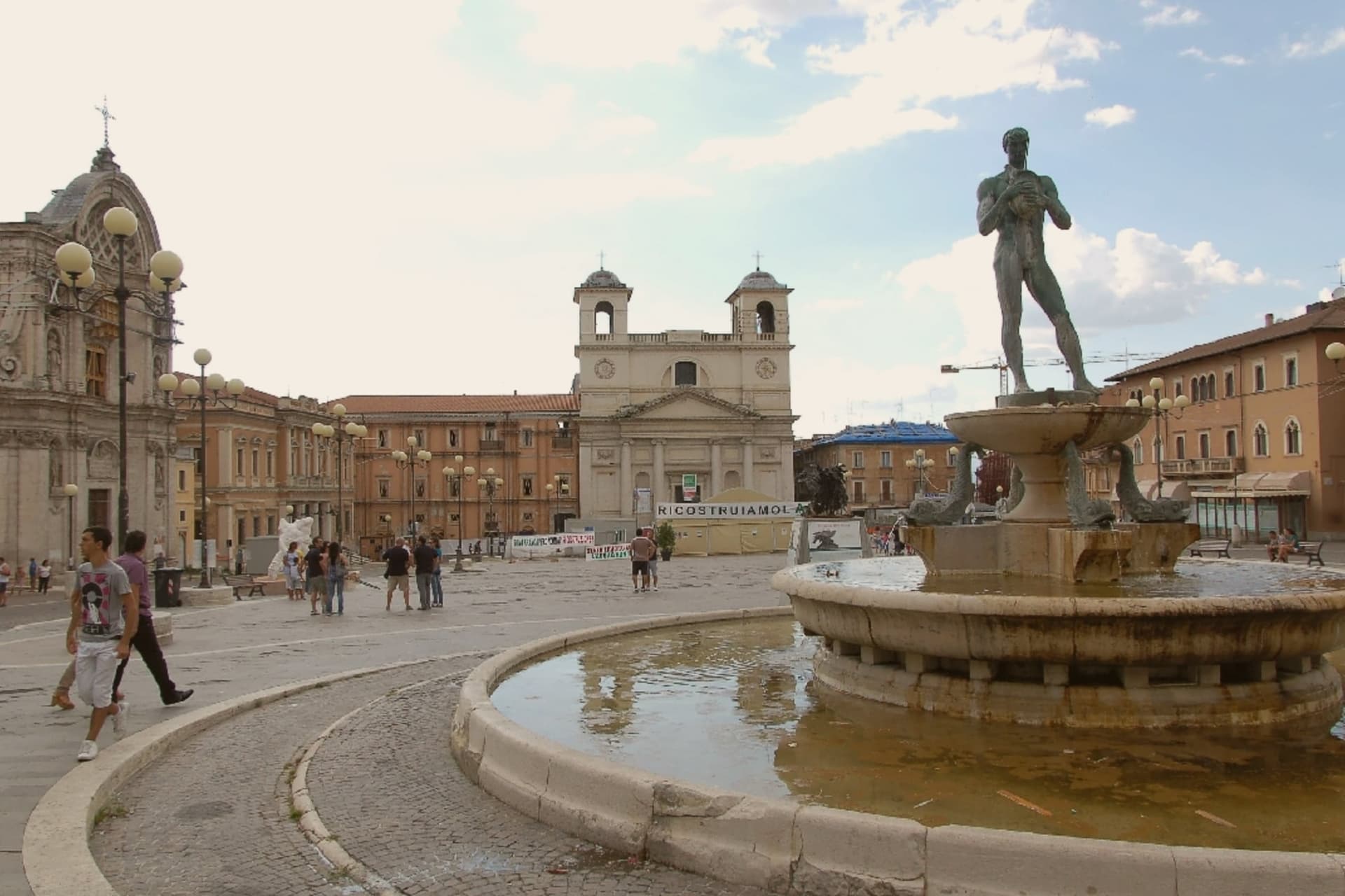
Why visit L'Aquila
L'Aquila sits at 721 meters in a high plain between the Gran Sasso and the Velino-Sirente massifs, the regional capital of Abruzzo with 69,558 residents. The two ranges frame the city on opposite sides, so the plain reads as a corridor of settlement between mountains rather than a valley floor with one clear edge.
The founding myth ties the city's shape to its origins: people from 99 castles in the surrounding valley are said to have each built a piazza, a church and houses inside the new walls, so the old town is less a single design than a patchwork of neighborhoods stitched together at the point of founding. That patchwork still organizes the upper town, where the fortress on the highest ground, the civic squares, and the older parish churches sit at angles to each other rather than along one axis.
Reconstruction after the earthquake has proceeded unevenly across this patchwork: some quarters and monuments are finished and open, others still show scaffolding, and by early 2025 work stood at 88 percent of projects complete. The city today is best read as a medieval plan of independent parts, still being reassembled piece by piece rather than restored as a whole.
We confirmed you can reach this one by train.
What to see in L'Aquila
- Basilica di Santa Maria di Collemaggio. Romanesque-Gothic facade in stripes of pink and white stone, standing apart from the rest of the centro storico; the interior reopened to visitors in 2017.
- Fontana delle 99 Cannelle. A civic fountain built into an angle of two walls, water running from 99 carved spouts of varying faces, tucked at the edge of the old town rather than in a central square.
- Forte Spagnolo (Castello Cinquecentesco). A squat, star-shaped fortress with a deep dry moat, occupying the highest ground of the upper town and visible above the rooftops from much of the city.
How to get to L'Aquila
There is a railway station in the town, so you can arrive without a car and never need one while you are here. Roma is roughly 89 minutes away by road.
Our tip
May through October is the working window at 721 meters under the Gran Sasso. The Perdonanza Celestiniana opens at Collemaggio on 28-29 August. The university semesters from October frame the cultural calendar.
More from Anywhere Italy
 The best hidden mountain towns within 90 minutes of Roma
 The best mountain towns within 75 minutes of Rome
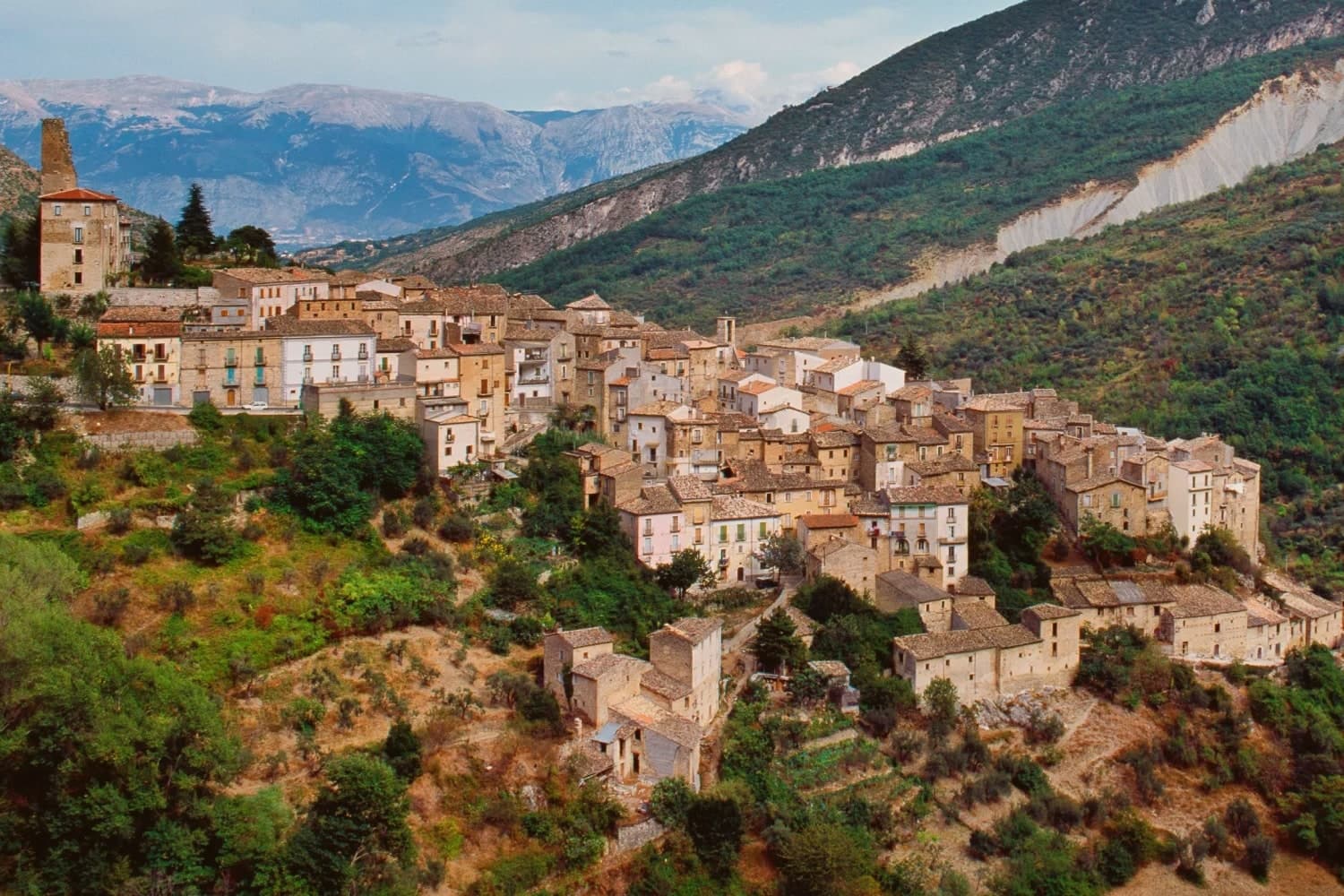 The 9 best small mountain towns you can reach by train in the province of L'Aquila
- The best towns you can reach by train that eat well within 90 minutes of Roma
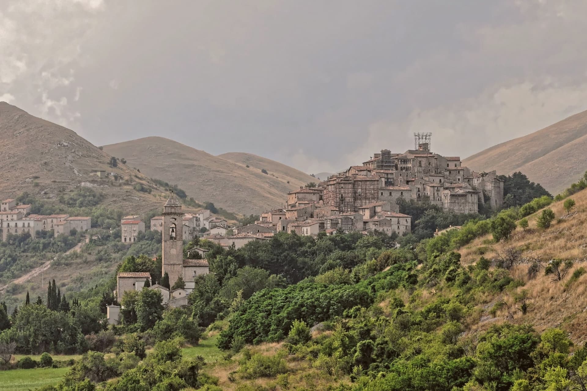 The best small towns with a food festival in Abruzzo
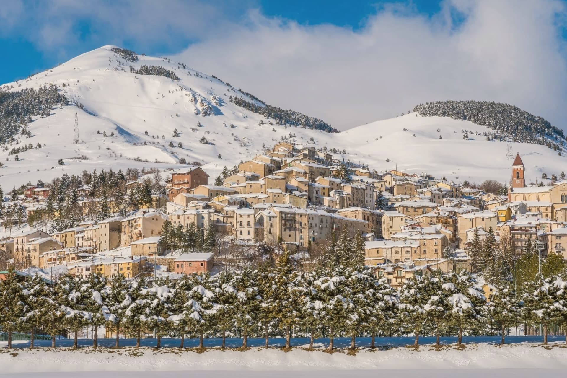 The best towns that eat well in the province of L'Aquila