
Marche · Pesaro e Urbino
Cantiano
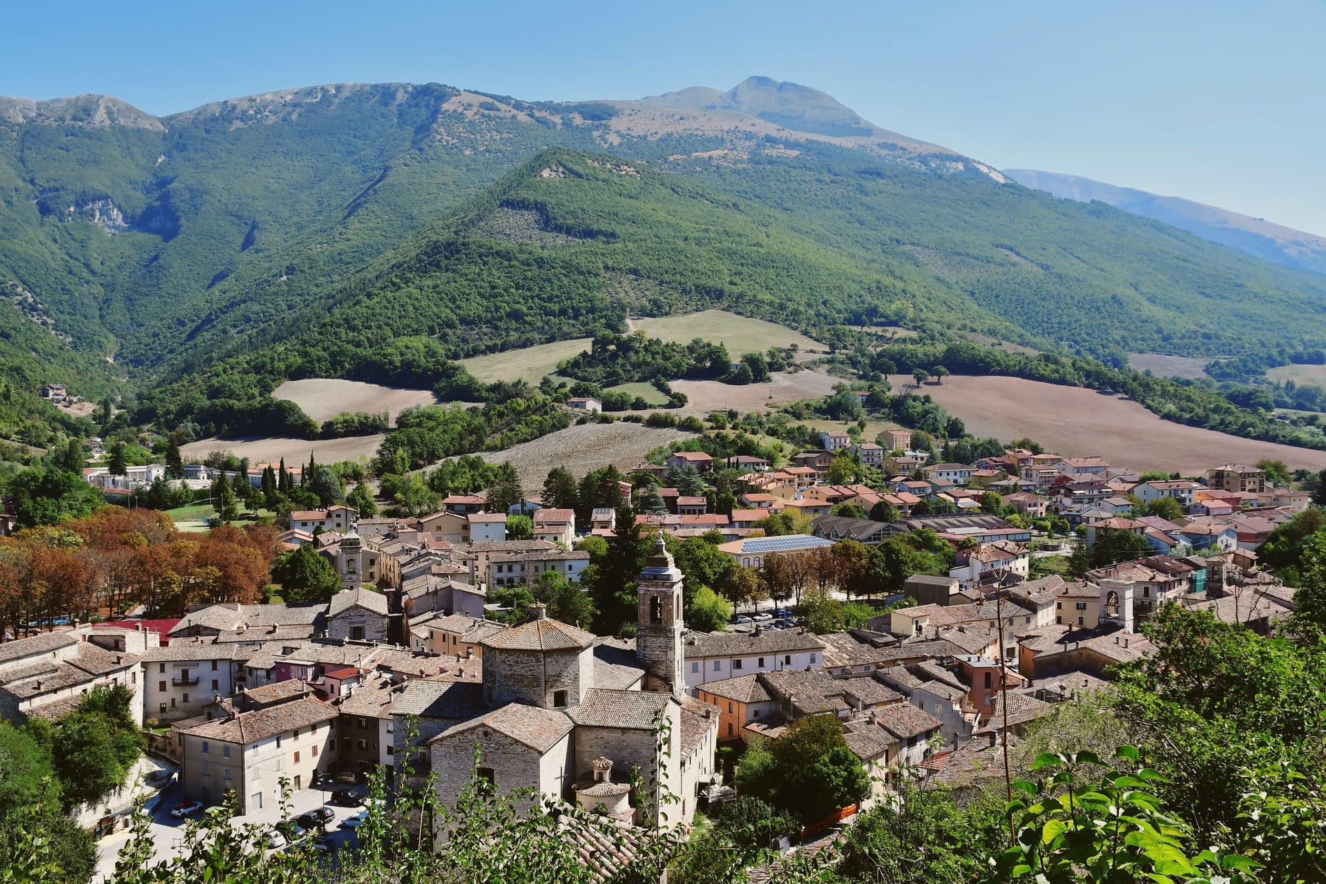
A border borgo under Monte Catria, known for the Good Friday Turba and the sour-cherry visciola harvest.
- Best time
- Apr–Oct
- By car
- 1 h 5 min from Perugia
- Population
- 1,999
Known for
LA TURBA
Good Friday Passion procession with 250 costumed actors, performed since the 1260s and one of the oldest continuous sacred dramas in Italy.
VISCIOLA
Wild sour cherry from the surrounding hills, harvested in June and turned into visciolata, the local infused cherry wine.
PANE DI CANTIANO
Bread made to a Città del Pane standard, with sourdough from the local mills, central to the town's craft economy.
When to visit
Best · Apr–Oct
- J9°
- F12°
- M13°
- A16°
- M21°
- J27°
- J31°
- A30°
- S24°
- O20°
- N14°
- D10°
- Best
- Hot or crowded
- Quiet
- Mostly closed
Daytime averages, 2020–2024. Weather data by Open-Meteo.com.
The festa: Giovanni Battista, 24 June
Why come
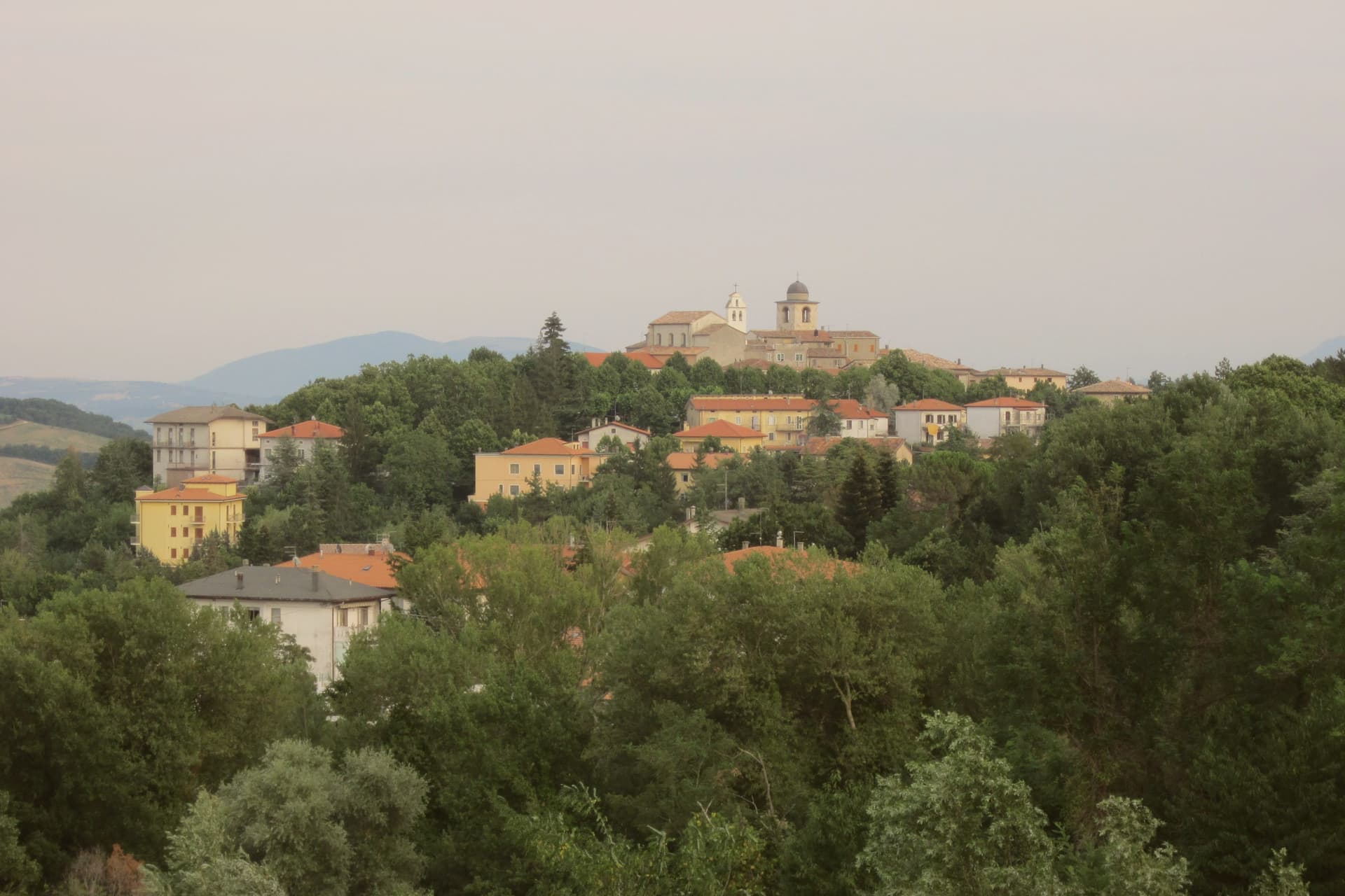
Cantiano sits on the southern slope of Monte Catria, at the point where the Marche meets Umbria along the old consular road. The town has held Bandiera Arancione status for two decades and carries the Comuni Virtuosi mark for its waste-reduction policies, alongside the bakery designation noted above. Monte Catria itself has been an eremitic site since 980, with a monastery on its western flank where Dante is said to have stayed, a link between the mountain wilderness above the town and the literary record below it. The centro storico, walled and built along the route, sits under that same peak, so the town reads as a hinge point: a border crossing, a mountain approach, and a settlement whose bread, wine, and Passion play all draw on what the hills around it produce and what the road brings through it.
The Sunday letter
Cantiano is on our list. Its letter is still to come.
We are writing about all 1,000 of these towns, one at a time, in a free letter every Sunday: the photo, the food, the festa. That is our mission. Sign up and you will be there when Cantiano comes up. By Peter & Sophia, from Pietrasanta.
Read on
Cantiano in our articles
How to get there
From Ancona / Pescara (AOI), about 1h 25m by car.
Rimini (RMI) is about 1h 45m away.
By car from the centre of Perugia 1 hour or Ancona 1h 37m.
Coming by train into Perugia? Cantiano is about 1h 8m away by road.
What to see
La Turba di Cantiano
Costumed actors in mid-thirteenth-century dress move through the centro storico tracing the Passion route, the same streets the brotherhoods who founded the rite would have walked.
Monte Catria
At 1,702 meters, the highest peak of the northern Apennines on this stretch, with eremitic sites used since the tenth century on its western flank.
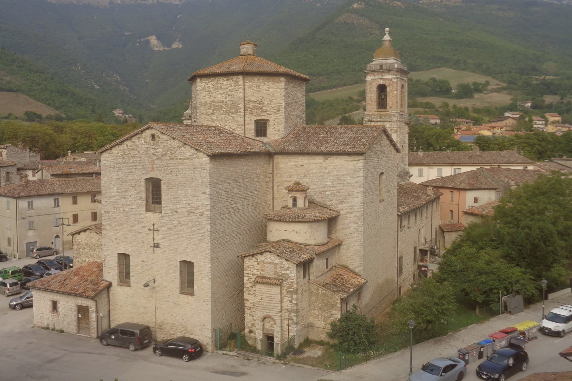
Collegiata di San Giovanni Battista
Main parish church of the centro storico, built in the seventeenth century over an earlier medieval foundation, with eighteenth-century paintings inside.
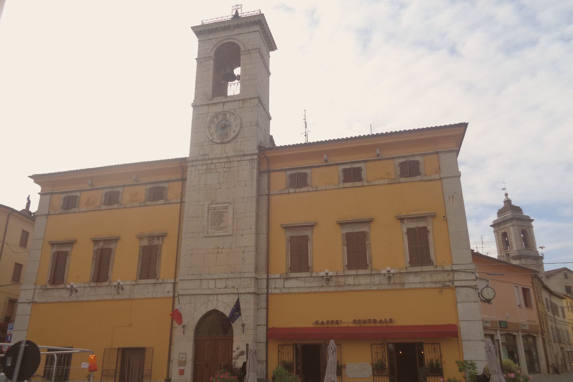
Centro storico di Cantiano
Walled border-town center on the old Via Flaminia route, recognized with the Bandiera Arancione, with bakeries that hold the Città del Pane status.
The slow-trip planner
Building a trip? Find where Cantiano fits in a slow Italy circuit.
Answer five questions. We will shape a geographically coherent slow trip from the 1,000 Italian towns most travelers skip. Yours to save and share.
Living here
- Population 1,999
- Remotei
- Pharmacy in town
- High school within a 30-minute drive
- Nearest airport Ancona / Pescara, 1 h 25 min drive
- Regional capital Ancona, 1 h 37 min drive
Common questions
- What is Cantiano known for?
- Cantiano is a border borgo at 374 meters under Monte Catria, known for the Good Friday Turba and the sour-cherry visciola harvest.
- Where is Cantiano?
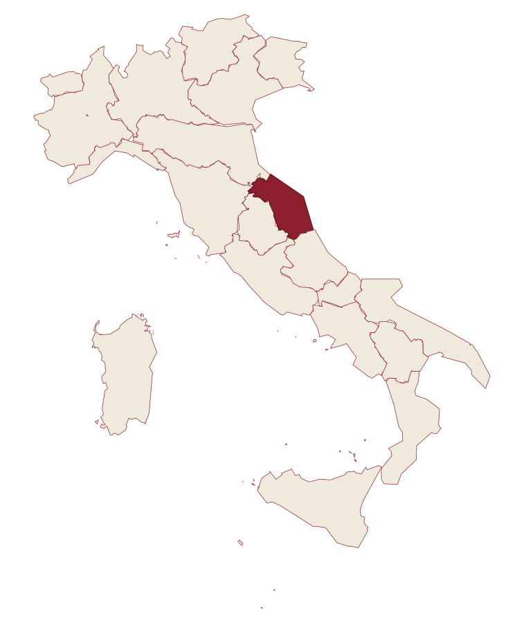
- Cantiano is a comune in the province of Pesaro e Urbino, in Marche.
- What is the nearest airport to Cantiano?
- Ancona / Pescara (AOI), about 1h 25m by car.
- How long is the drive from Perugia to Cantiano?
- About 1 hour by car.
- When is the best time to visit Cantiano?
- Best in Apr–Oct. July is the warmest month, averaging 31 degrees, and May the wettest, with about 15 rain days.
- Is there a sagra or a festival in Cantiano?
- The town keeps its patron saint's day: Giovanni Battista, 24 June.
- Which other towns are like Cantiano?
- Esanatoglia, Pietralunga and Mercatello sul Metauro.
- How many people live in Cantiano?
- 1,999 at the 2023 count.
Tags & datadesignations · numbers · sources
Recognised as
The numbers
- Elevation: 374 m
- Population: 1,999
- Surface area: 83.25 km²
These figures were compiled from public directories: ISTAT, OpenStreetMap and Wikidata, and from the official listings of the guides named on this page. Town details change; verify with official sources before you travel.
Similar
Towns like Cantiano
Esanatoglia
Province: Macerata
both inland, away from the coast · both under 3,000 people
Pietralunga
Province: Perugia
both inland, away from the coast · both under 3,000 people
Mercatello sul Metauro
Province: Pesaro e Urbino
both inland, away from the coast · both under 3,000 people
Varese Ligure
Province: La Spezia
both inland, away from the coast · both under 3,000 people
Tenno
Province: Trento
both inland, away from the coast · both under 3,000 people
Cetona
Province: Siena
both inland, away from the coast · both under 3,000 people
🟠 Bandiera Arancione
More Bandiera Arancione towns in Marche
Acquaviva Picena
Province: Ascoli Piceno
A walled hill borgo at 359 meters, six kilometers from the Adriatic, anchored by a cylindrical fortress keep and the surviving pajarola craft.
Amandola
Province: Fermo
A Sibillini gateway at 550 meters on three hills above the Tenna valley, founded 1248 and damaged but not levelled in 2016.
Camerino
Province: Macerata
A university city at 661 meters on the ridge between the Chienti and Potenza, rebuilding after 2016.
Cingoli
Province: Macerata
The Balcone delle Marche at 631 meters, a hilltop borgo where on clear days the view runs from the Sibillini to the Croatian coast.
Corinaldo
Province: Ancona
A walled hill borgo at 203 meters, ringed by 912 meters of intact medieval walls, and the birthplace of Saint Maria Goretti.