
Marche · Macerata
Esanatoglia
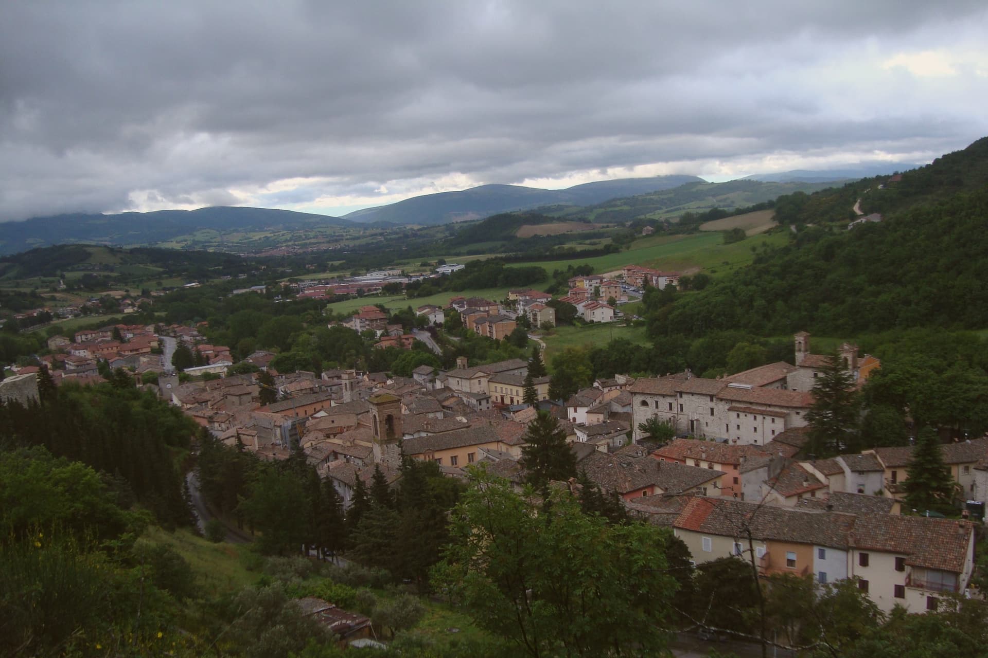
A medieval village of seven bell towers on the Marche-Umbria border, sitting at the source of the Esino river.
- Best time
- Apr–Oct
- By car
- 1 h 16 min from Perugia
- Population
- 1,899
Known for
SEVEN BELL TOWERS
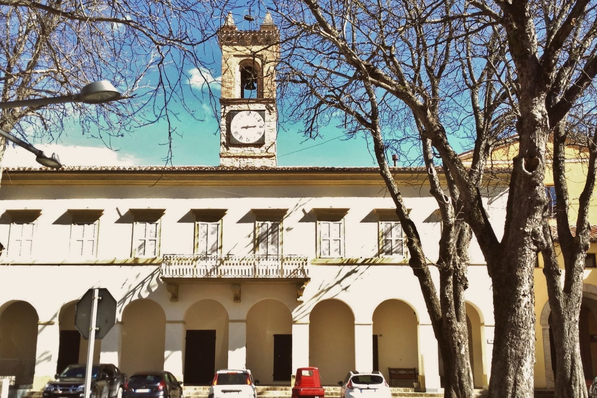
Seven campanili line Corso Vittorio Emanuele from the Sant'Andrea gate to the Panicale gate, the visual signature of the town.
ESINO SOURCE
The Esino river rises at the edge of the historic center, a series of springs and old fountains feeding the upper river.
SANT'ANATOLIA
Third-century Christian martyr who replaced the Roman name Aesa and gave the town its medieval identity through 1862.
When to visit
Best · Apr–Oct
- J9°
- F12°
- M13°
- A16°
- M21°
- J27°
- J31°
- A30°
- S25°
- O20°
- N14°
- D11°
- Best
- Hot or crowded
- Quiet
- Mostly closed
Daytime averages, 2020–2024. Weather data by Open-Meteo.com.
Why come
The name fuses two histories: Aesa, a Roman settlement on the Esino, and Santa Anatolia, the third-century martyr whose cult took over as the town's identity through the medieval period. The current name was made official in 1862. The first surviving document mentioning the place dates to 1015, recording the foundation of the monastery of Sant'Angelo by Count Atto and his wife Berta, the most important religious house in the area for the next two centuries.
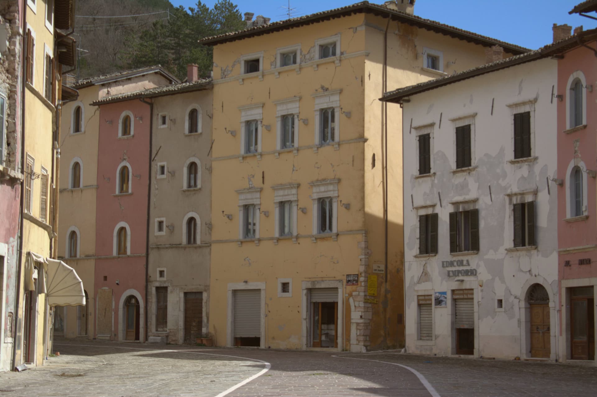
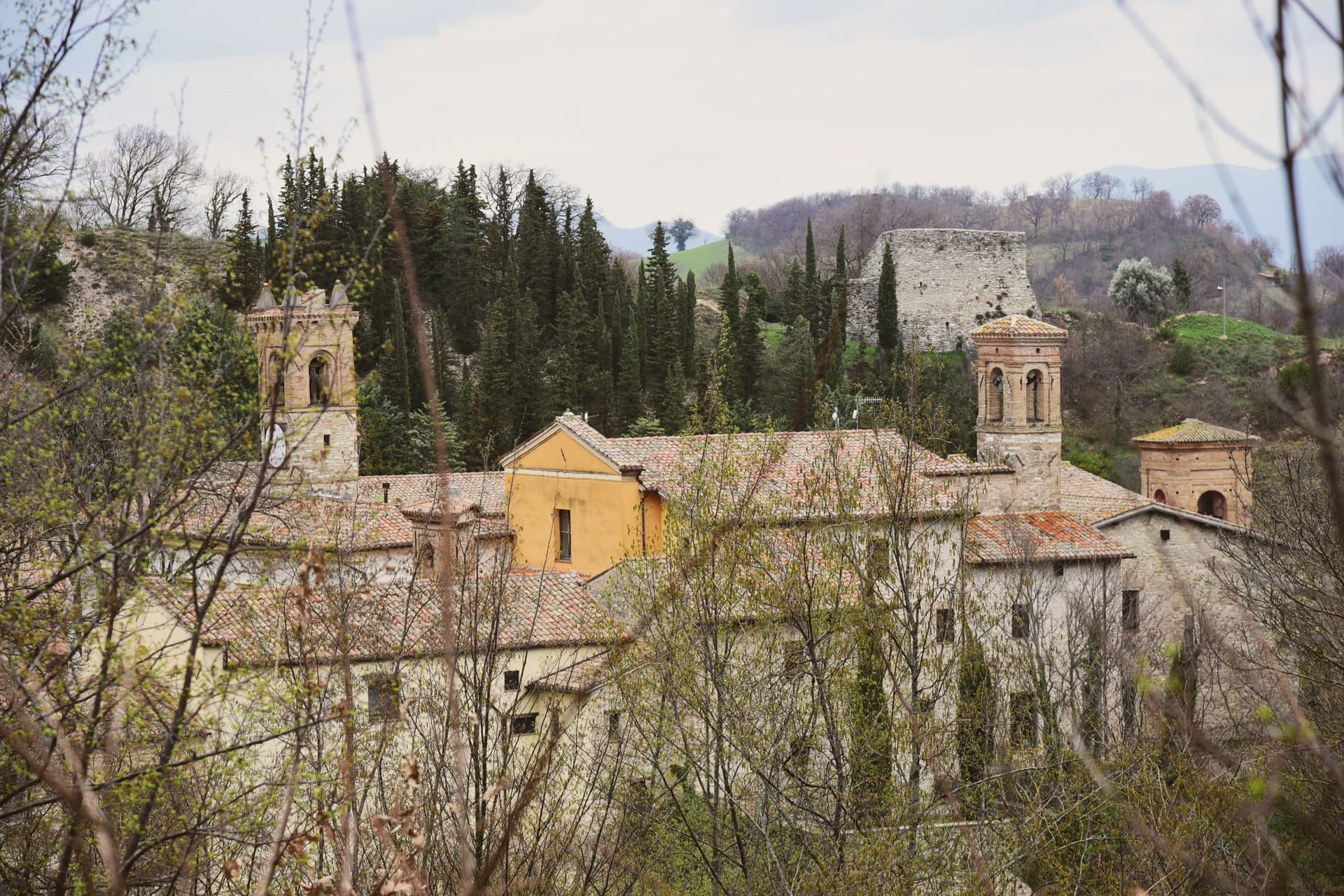
The village sits at the source of the Esino, on the border between Marche and Umbria. The main street runs between two fortified gates, and the seven towers visible from above stand over a lower village still marked by its medieval walls and public fountains. Above the settlement, on Monte Corsegno, a hermitage looks down over the roofs. The town's layout still reads as what it was: a river's source point fortified and settled in stages, its religious geography written into gates, walls, and towers that have outlasted the parishes that built them.
The Sunday letter
Esanatoglia is on our list. Its letter is still to come.
We are writing about all 1,000 of these towns, one at a time, in a free letter every Sunday: the photo, the food, the festa. That is our mission. Sign up and you will be there when Esanatoglia comes up. By Peter & Sophia, from Pietrasanta.
Read on
Esanatoglia in our articles
How to get there
From Ancona / Pescara (AOI), about 1 hour by car.
Rimini (RMI) is about 2h 11m away.
By car from the centre of Perugia 1h 16m or Ancona 1h 16m.
Coming by train into Perugia? Esanatoglia is about 1h 16m away by road.
What to see
I sette campanili
Seven bell towers visible along Corso Vittorio Emanuele between the Sant'Andrea and Panicale gates, the surviving sign of the town's medieval parish density.
Mura medievali
Surviving medieval walls and fortified gates of Sant'Andrea and Panicale closing the two ends of the main street.
Eremo di San Cataldo
Hermitage perched on Monte Corsegno above the village, reached by a marked footpath through the hills.
Sorgenti dell'Esino
Source of the Esino river at the edge of the historic center, a series of springs and old fountains feeding the river's upper course.
Chiesa di Sant'Anatolia
Parish church dedicated to the third-century martyr who replaced the older name Aesa, the building that carried the cult into the medieval village.
The slow-trip planner
Building a trip? Find where Esanatoglia fits in a slow Italy circuit.
Answer five questions. We will shape a geographically coherent slow trip from the 1,000 Italian towns most travelers skip. Yours to save and share.
Living here
- Population 1,899
- Remotei
- Pharmacy: none mapped
- High school within a 30-minute drive
- Nearest airport Ancona / Pescara, 1 h 4 min drive
- Regional capital Ancona, 1 h 16 min drive
Common questions
- What is Esanatoglia known for?
- Esanatoglia is a medieval village of seven bell towers at 358 meters on the Marche-Umbria border, sitting at the source of the Esino river.
- Where is Esanatoglia?
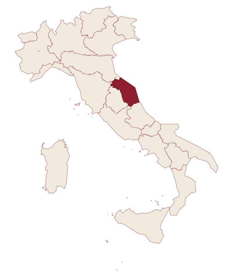
- Esanatoglia is a comune in the province of Macerata, in Marche.
- What is the nearest airport to Esanatoglia?
- Ancona / Pescara (AOI), about 1 hour by car.
- How long is the drive from Perugia to Esanatoglia?
- About 1h 16m by car.
- When is the best time to visit Esanatoglia?
- Best in Apr–Oct. July is the warmest month, averaging 31 degrees, and May the wettest, with about 16 rain days.
- Which other towns are like Esanatoglia?
- Cantiano, Pietralunga and Mercatello sul Metauro.
- How many people live in Esanatoglia?
- 1,899 at the 2023 count.
Tags & datadesignations · numbers · sources
Recognised as
The numbers
- Elevation: 358 m
- Population: 1,899
- Surface area: 47.91 km²
These figures were compiled from public directories: ISTAT, OpenStreetMap and Wikidata, and from the official listings of the guides named on this page. Town details change; verify with official sources before you travel.
Similar
Towns like Esanatoglia
Cantiano
Province: Pesaro e Urbino
both inland, away from the coast · both under 3,000 people
Pietralunga
Province: Perugia
both inland, away from the coast · both under 3,000 people
Mercatello sul Metauro
Province: Pesaro e Urbino
both inland, away from the coast · both under 3,000 people
Varese Ligure
Province: La Spezia
both inland, away from the coast · both under 3,000 people
Tenno
Province: Trento
both inland, away from the coast · both under 3,000 people
Cetona
Province: Siena
both inland, away from the coast · both under 3,000 people
🎨 Borghi più belli d'Italia
More Borghi più belli d'Italia towns in Marche
Arcevia
Province: Ancona
A hilltop borgo at 535 meters above the Misa and Nevola valleys, defended in the Middle Ages by a ring of nine satellite castles.
Cingoli
Province: Macerata
The Balcone delle Marche at 631 meters, a hilltop borgo where on clear days the view runs from the Sibillini to the Croatian coast.
Corinaldo
Province: Ancona
A walled hill borgo at 203 meters, ringed by 912 meters of intact medieval walls, and the birthplace of Saint Maria Goretti.
Fermo
Province: Fermo
The provincial capital on the Sabulo hill at 319 meters, with 2,200 square meters of Augustan Roman cisterns running under the centro storico.
Gradara
Province: Pesaro e Urbino
The walled hill borgo at 142 meters above the Adriatic where Dante set the deaths of Paolo and Francesca, with one of Italy's best-preserved castles.